Flight: 15-932-00
Date: April 16, 2015
Aircraft: NASA ER-2, #809
Flight Number: 15-932-00
Deployment: HyspIRI Spring 2015
Flight Location: Santa Barbara, CA
Principal Investigator: Rob Green / Simon Hook (JPL)
Additional Sensors: AVIRIS
|
Data Evaluation
Overall data quality is good.
All data collected @6.25Hz
|
Processing Information
Level-1B Data in HDF format is available
Flight Line Summary
Spectral Band Configuration
Spectral Response Function Table
Spectral Response Function (text)
|
Browse Imagery
Flight Tracks: 14
Scanlines: 91816
|
Browse Imagery Table
|
Click a Flight Track number to view a quicklook image
Lat/Lon ranges are for the BEG-END scanline nadir pixels
|
Flight
Track |
Time Span
(UTC) |
Heading
(Deg) |
Lat Range
(Deg N) |
Lon Range
(Deg W) |
Length
(Scanlines) |
Altitude
(Meters) |
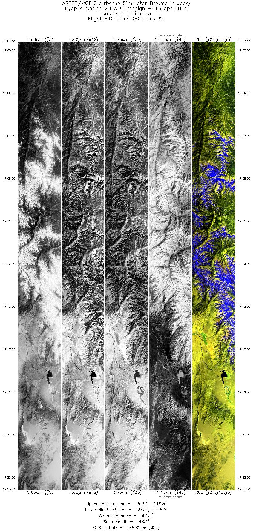
| 1 |
17:02 - 17:23 |
353.2 |
35.913 - 38.212 |
118.397 - 118.754 |
7505 |
17921 |
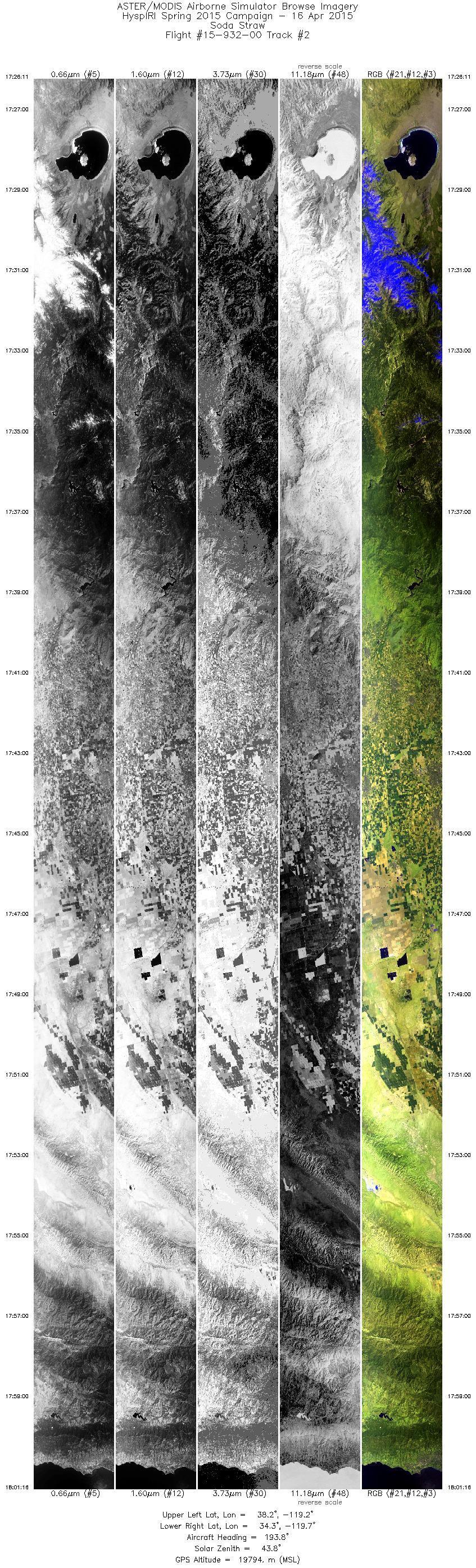
| 2 |
17:26 - 18:01 |
192.1 |
38.219 - 34.372 |
119.016 - 119.926 |
12548 |
19799 |
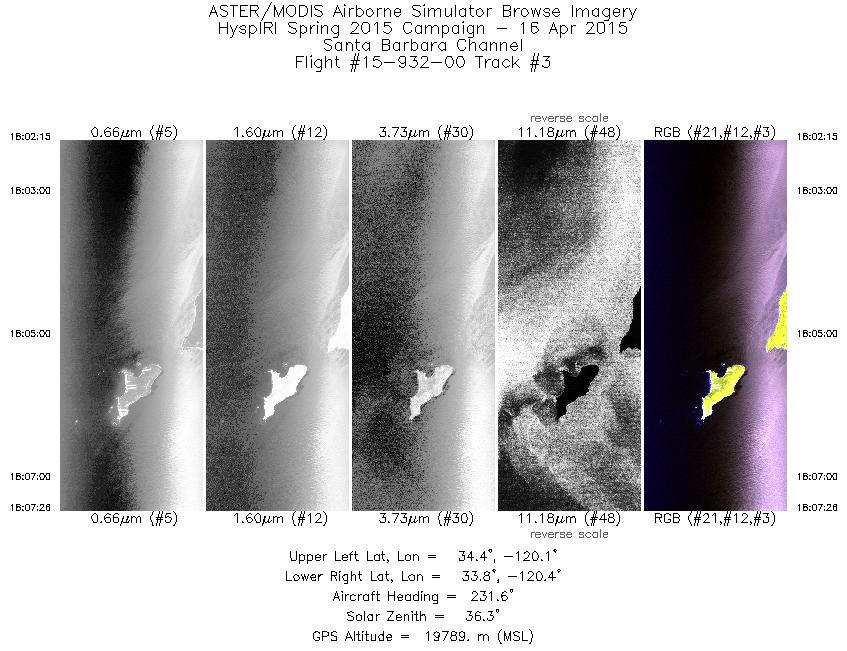
| 3 |
18:02 - 18:07 |
230.3 |
34.290 - 33.922 |
120.006 - 120.569 |
1855 |
19791 |
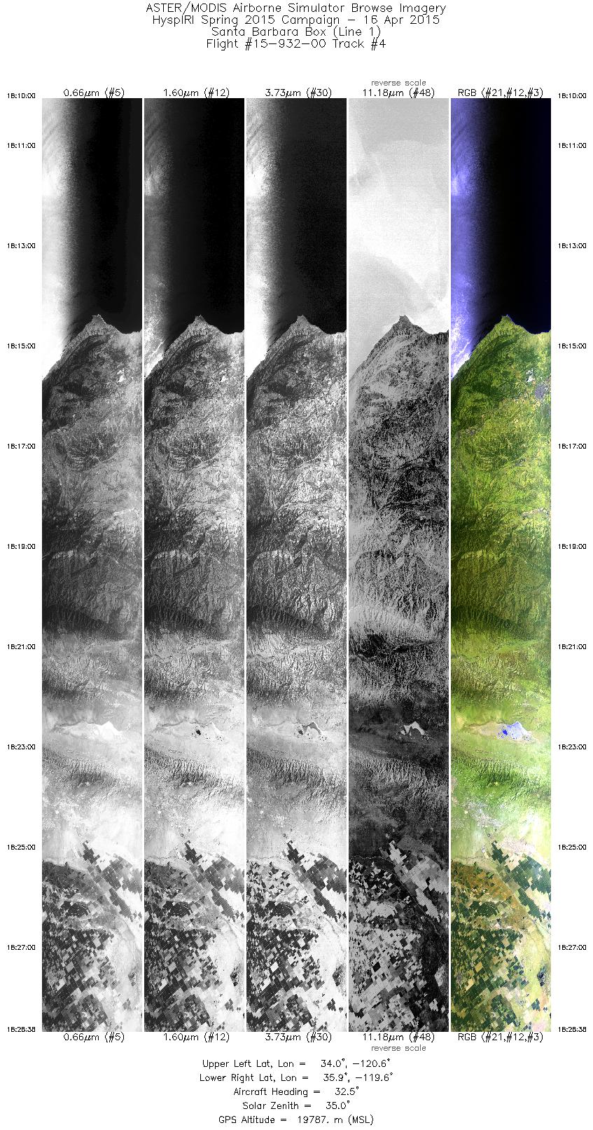
| 4 |
18:10 - 18:28 |
32.3 |
34.042 - 35.763 |
120.766 - 119.390 |
6663 |
19796 |
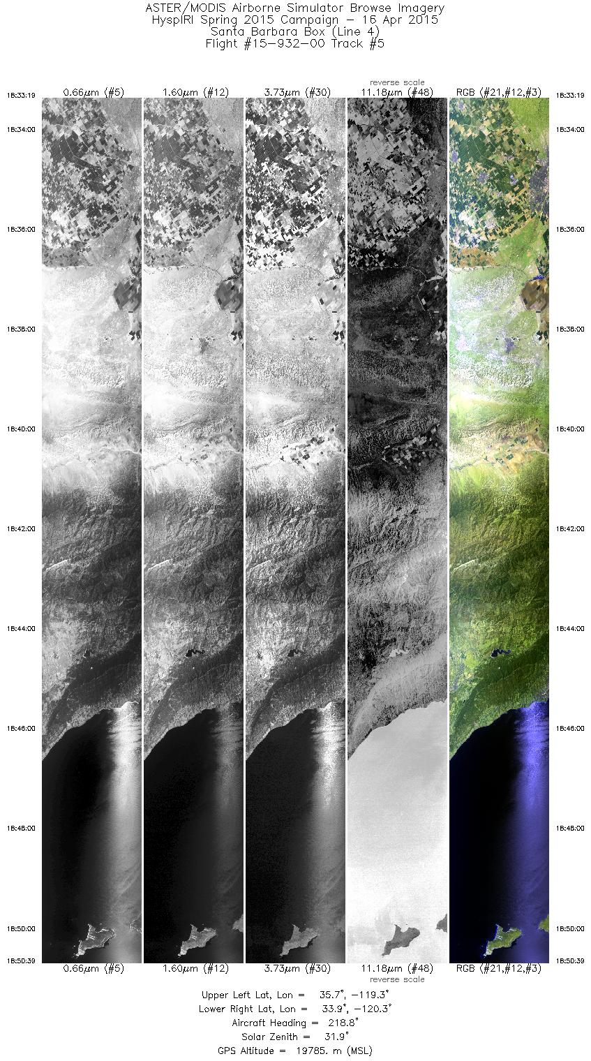
| 5 |
18:33 - 18:50 |
216.3 |
35.624 - 33.998 |
119.102 - 120.416 |
6200 |
19775 |
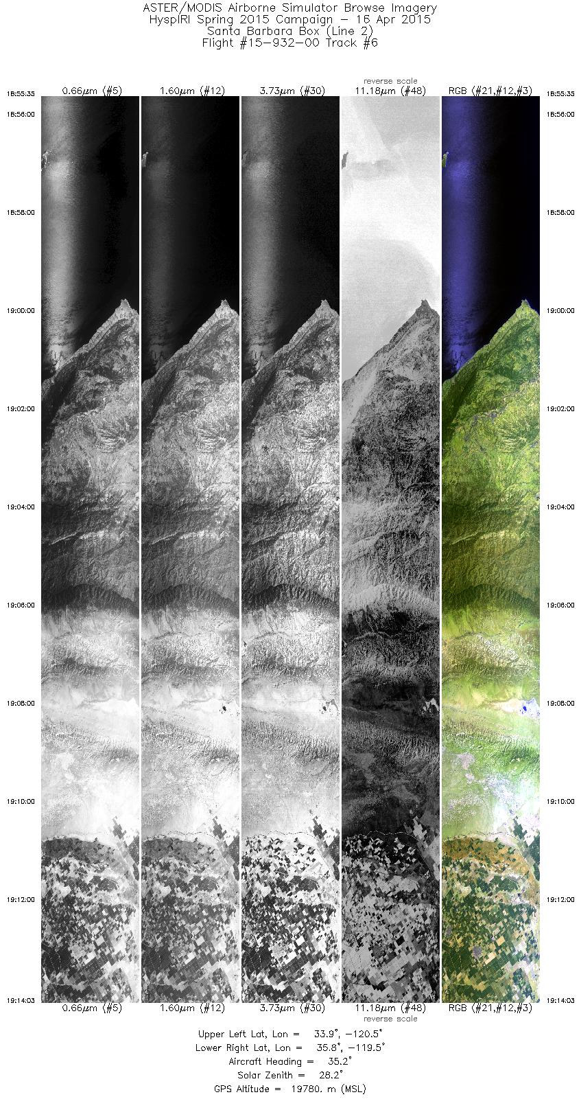
| 6 |
18:55 - 19:14 |
35.3 |
34.001 - 35.709 |
120.669 - 119.304 |
6606 |
19769 |
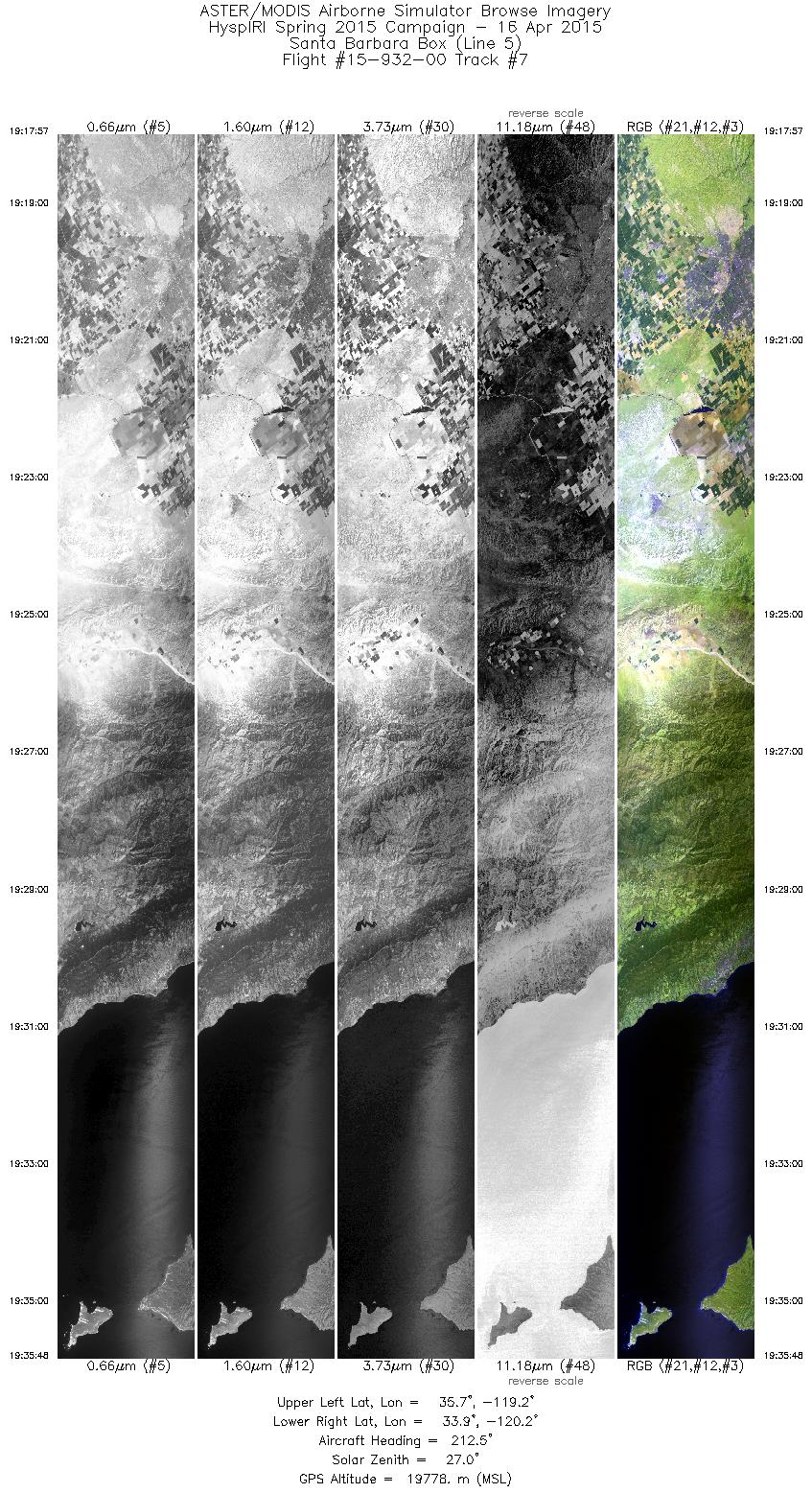
| 7 |
19:17 - 19:35 |
213.1 |
35.618 - 33.946 |
118.985 - 120.328 |
6386 |
19790 |
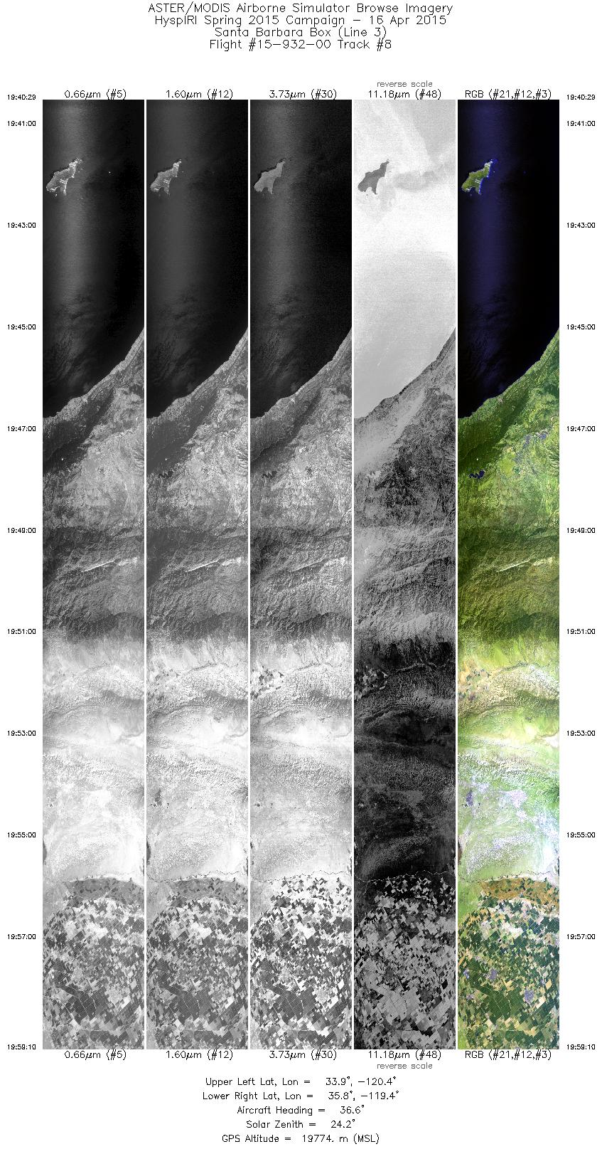
| 8 |
19:40 - 19:59 |
36.1 |
33.946 - 35.660 |
120.583 - 119.210 |
6679 |
19769 |
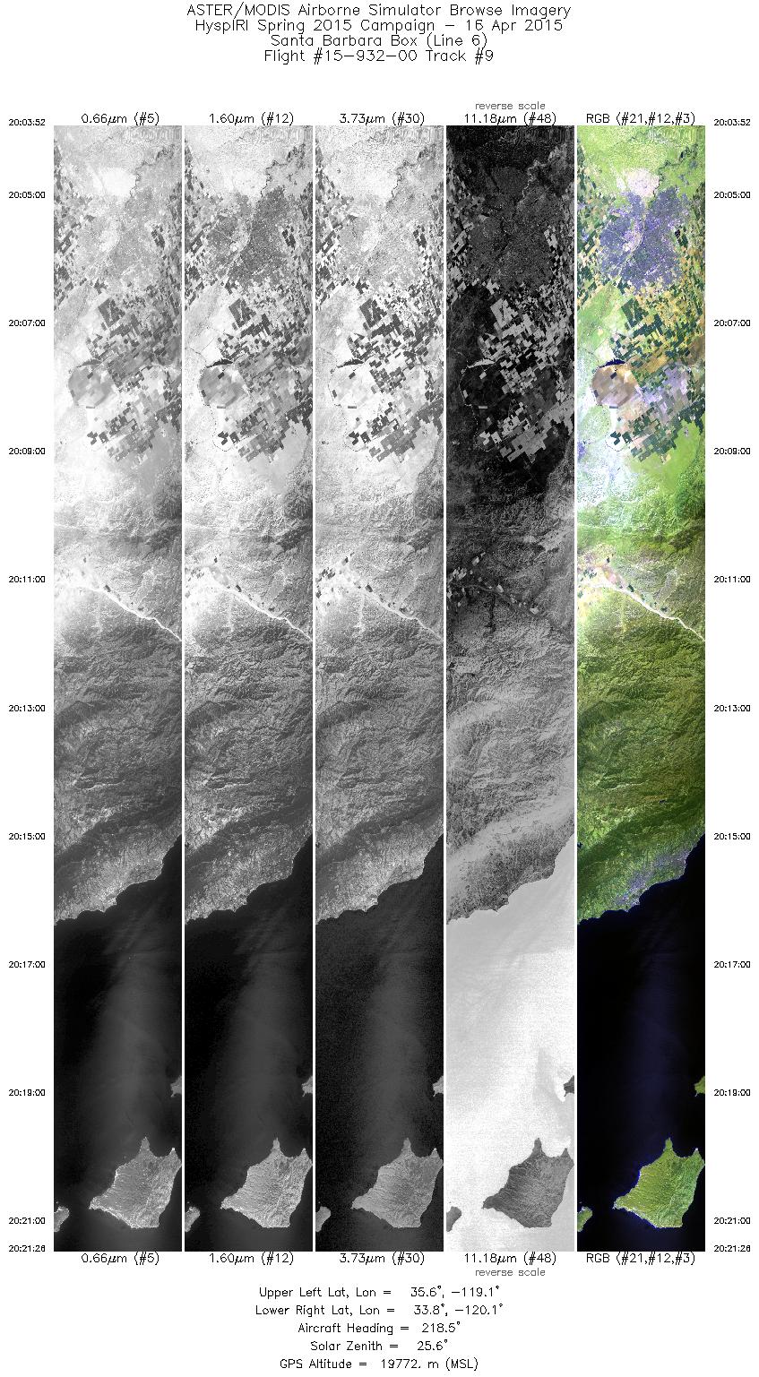
| 9 |
20:03 - 20:21 |
216.2 |
35.532 - 33.905 |
118.920 - 120.235 |
6286 |
19764 |
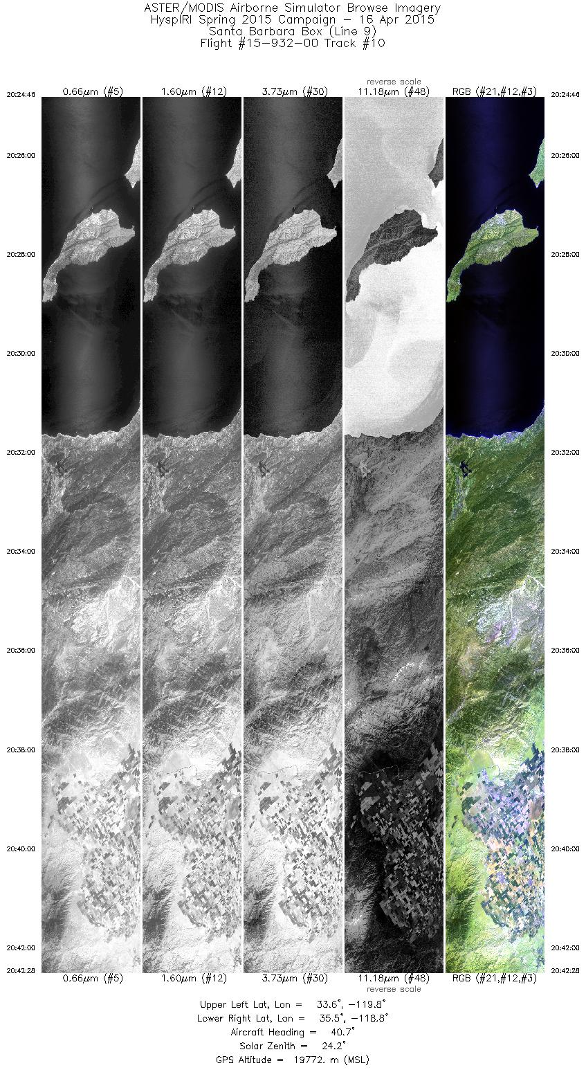
| 10 |
20:24 - 20:42 |
38.2 |
33.743 - 35.371 |
119.993 - 118.669 |
6333 |
19783 |
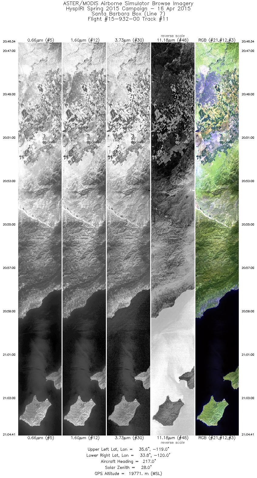
| 11 |
20:46 - 21:04 |
215.6 |
35.517 - 33.848 |
118.802 - 120.150 |
6478 |
19761 |
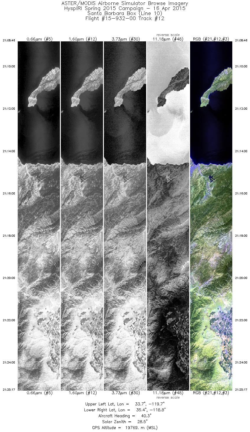
| 12 |
21:08 - 21:25 |
37.9 |
33.793 - 35.316 |
119.822 - 118.585 |
5911 |
19758 |
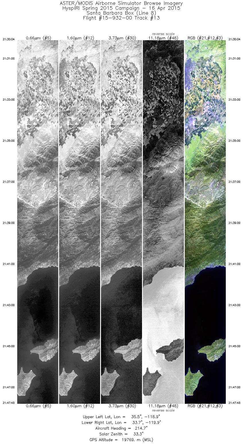
| 13 |
21:30 - 21:47 |
214.7 |
35.429 - 33.808 |
118.749 - 120.058 |
6325 |
19758 |
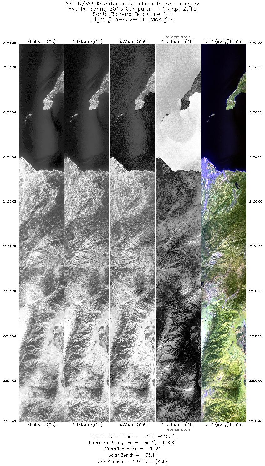
| 14 |
21:51 - 22:08 |
34.9 |
33.760 - 35.310 |
119.723 - 118.463 |
6041 |
19755 |
|


