


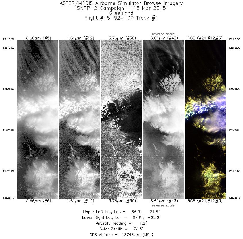
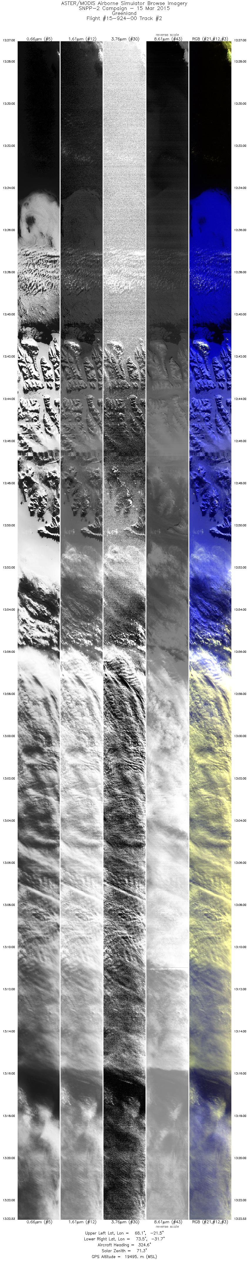
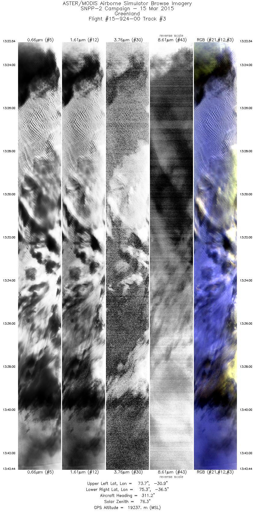
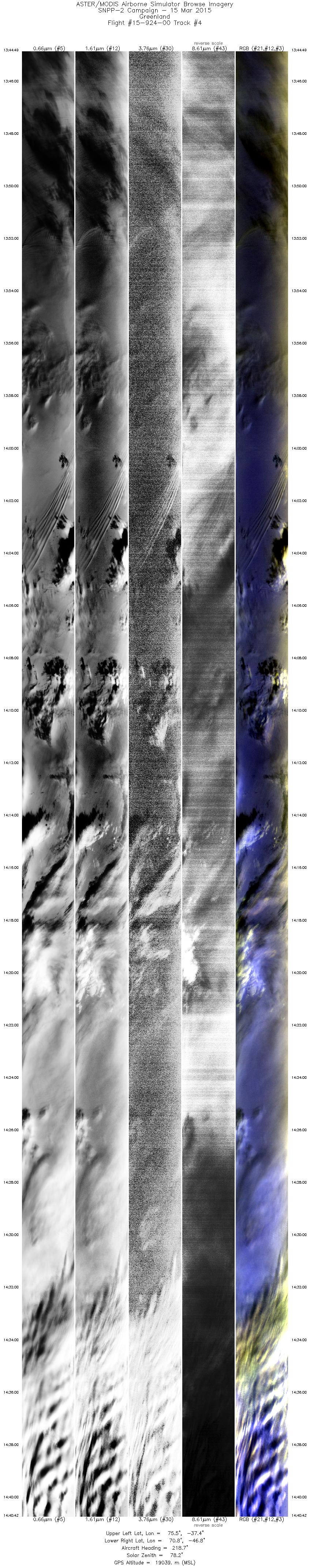
FLIGHT SUMMARY INFORMATION
Flight Track Map


|
Flight: 15-924-00 Date: March 15, 2015 Aircraft: NASA ER-2, #809 Flight Number: 15-924-00 Deployment: SNPP Greenland 2015 Flight Location: Greenland Principal Investigator: Chris Moeller (UWisc) Additional Sensors: NAST-I / NAST-M / SHIS |
|||||||||||||||||||||||||||||||||||||||||||||||||||||||||||||||||||||||||||||||||||||||||||
|
Data Evaluation Overall data quality is poor. All data collected @6.25Hz LWIR and MWIR calibration was compromised on this mission due to failure of one of two onboard blackbody reference targets. Data were processed using a single-point calibration, and retreived temperatures may be off as much as 1.5 degrees Kelvin. This affects bands 26-50 only; the VSWIR bands 1-25 are not affected. |
|||||||||||||||||||||||||||||||||||||||||||||||||||||||||||||||||||||||||||||||||||||||||||
|
Processing Information Level-1B Data in HDF format is available Flight Line Summary Spectral Band Configuration Spectral Response Function Table Spectral Response Function (text) |
|||||||||||||||||||||||||||||||||||||||||||||||||||||||||||||||||||||||||||||||||||||||||||
|
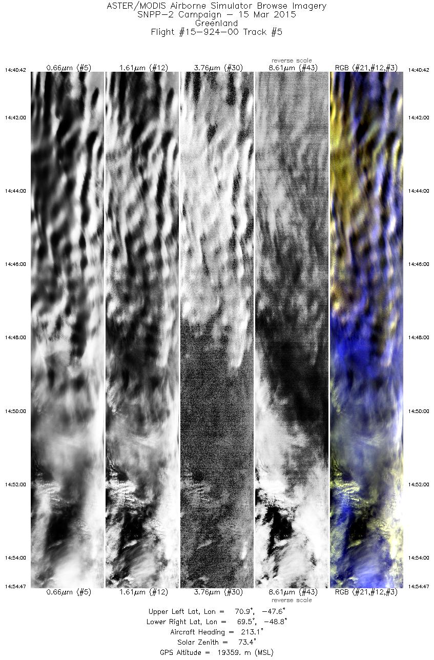
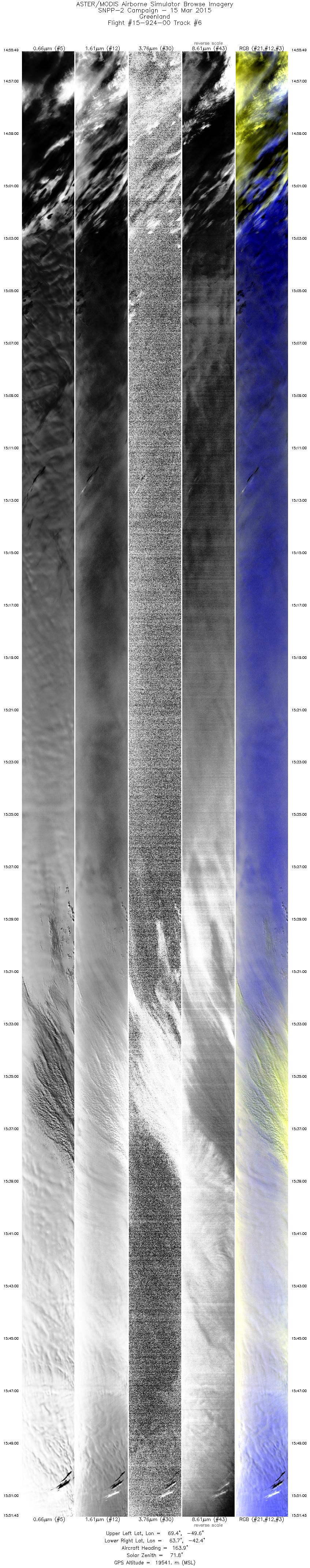
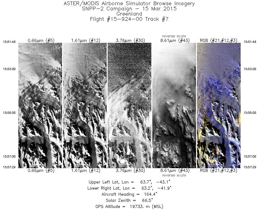
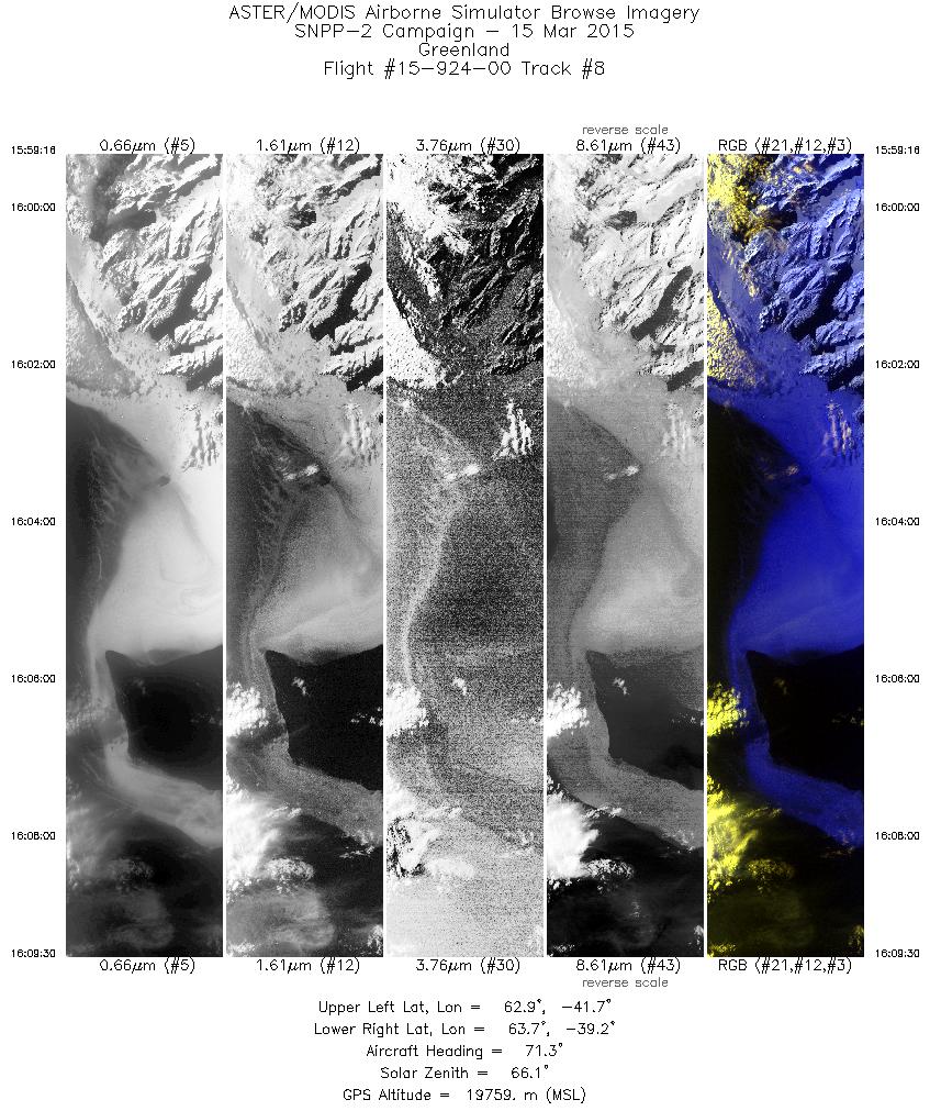
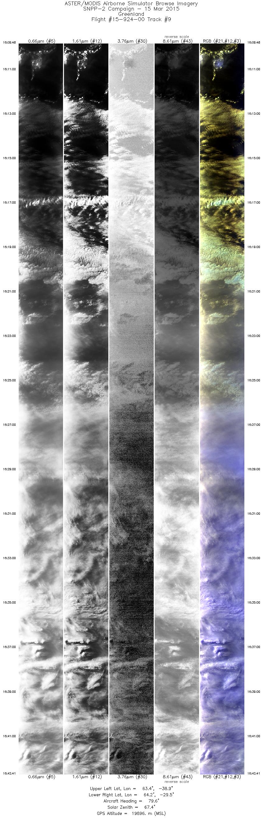
Browse Imagery Flight Tracks: 9 Scanlines: 92360 |
|||||||||||||||||||||||||||||||||||||||||||||||||||||||||||||||||||||||||||||||||||||||||||
|
|||||||||||||||||||||||||||||||||||||||||||||||||||||||||||||||||||||||||||||||||||||||||||


