


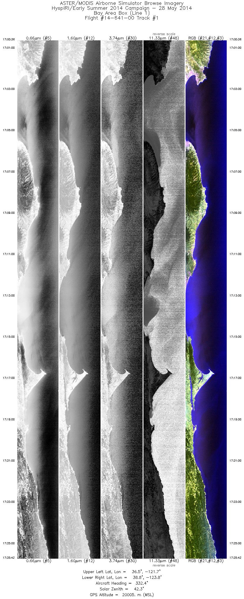
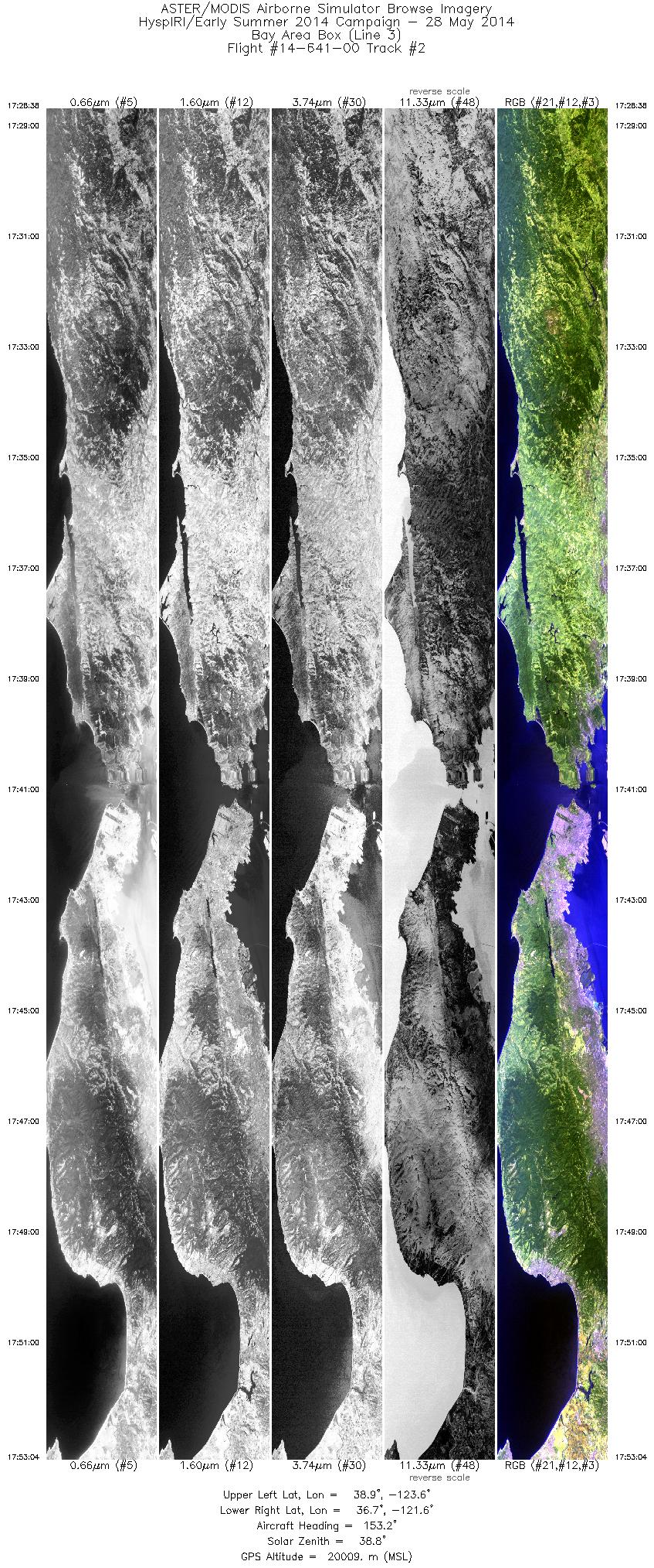
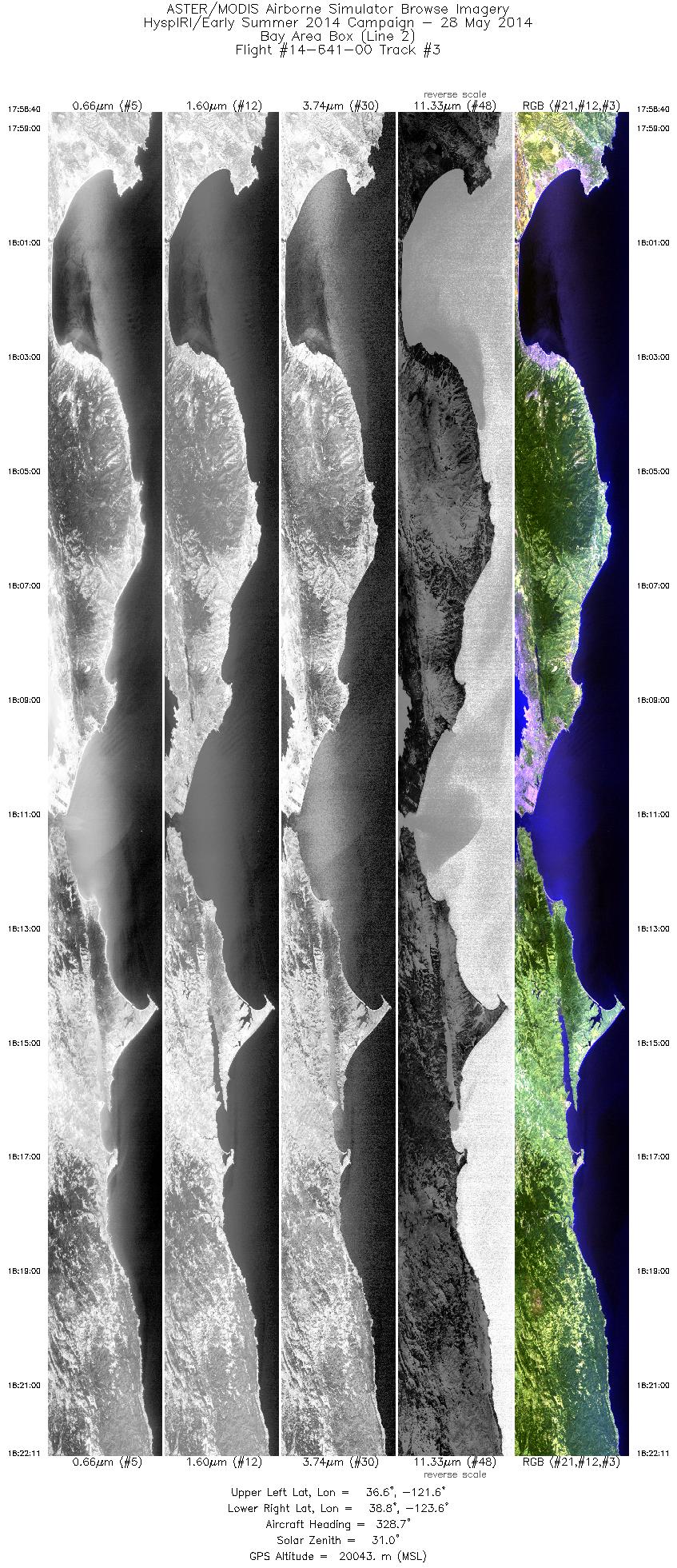
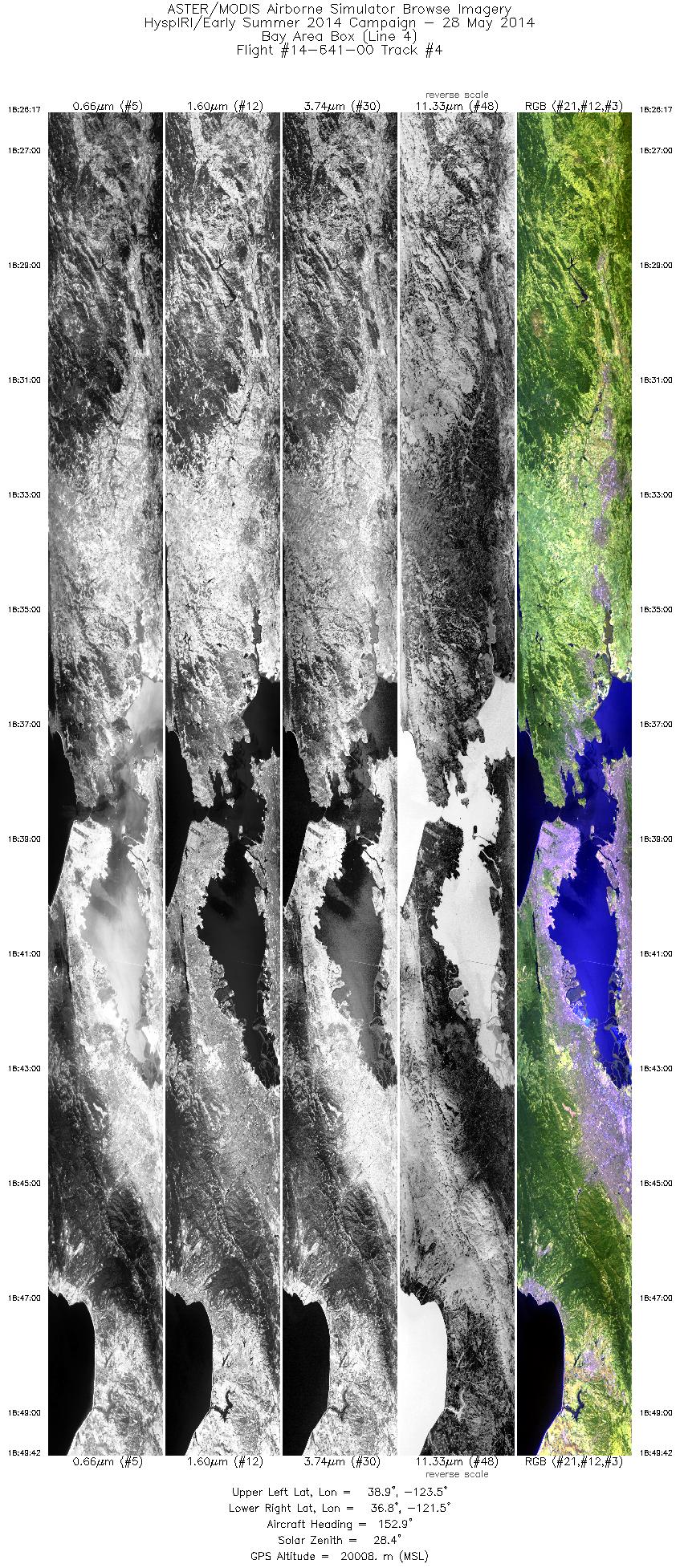
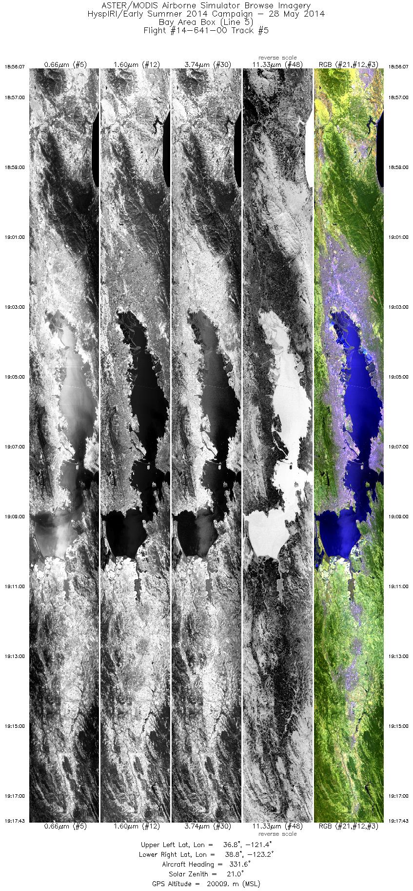
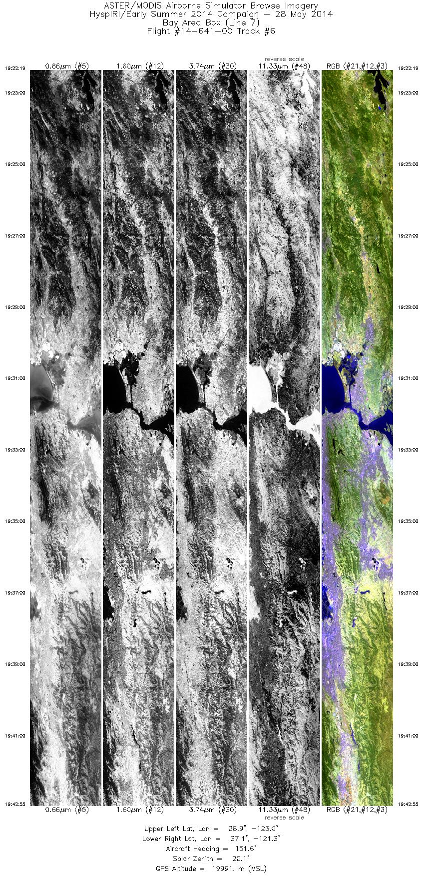
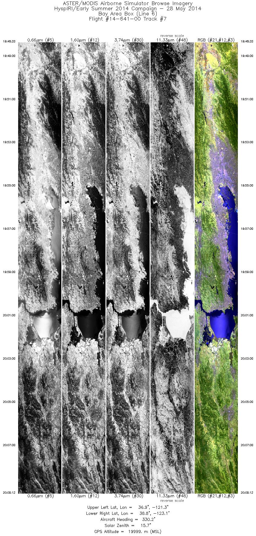
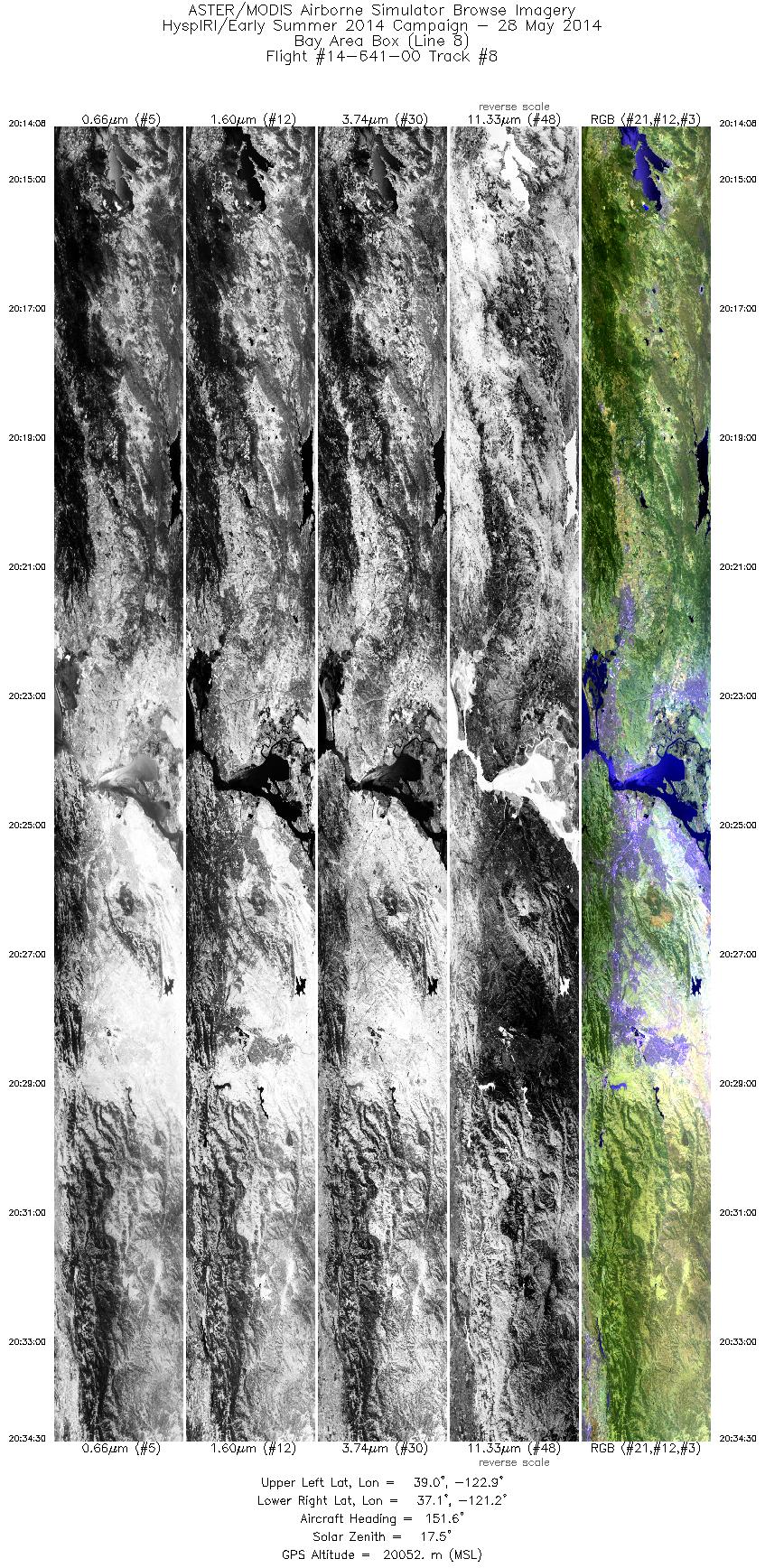
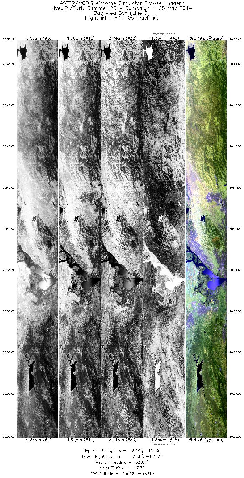
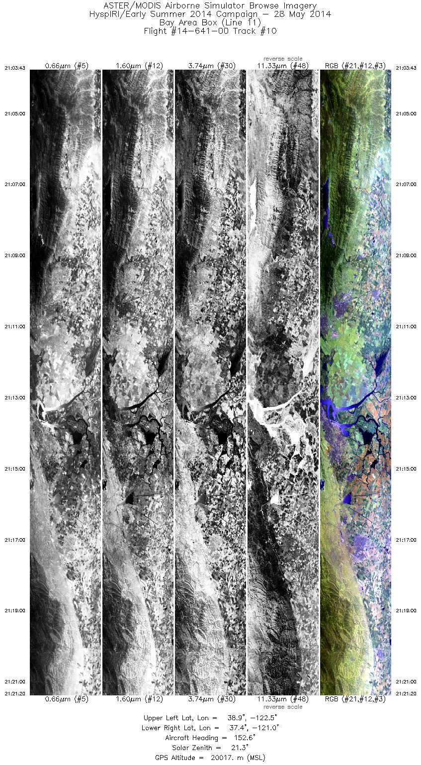
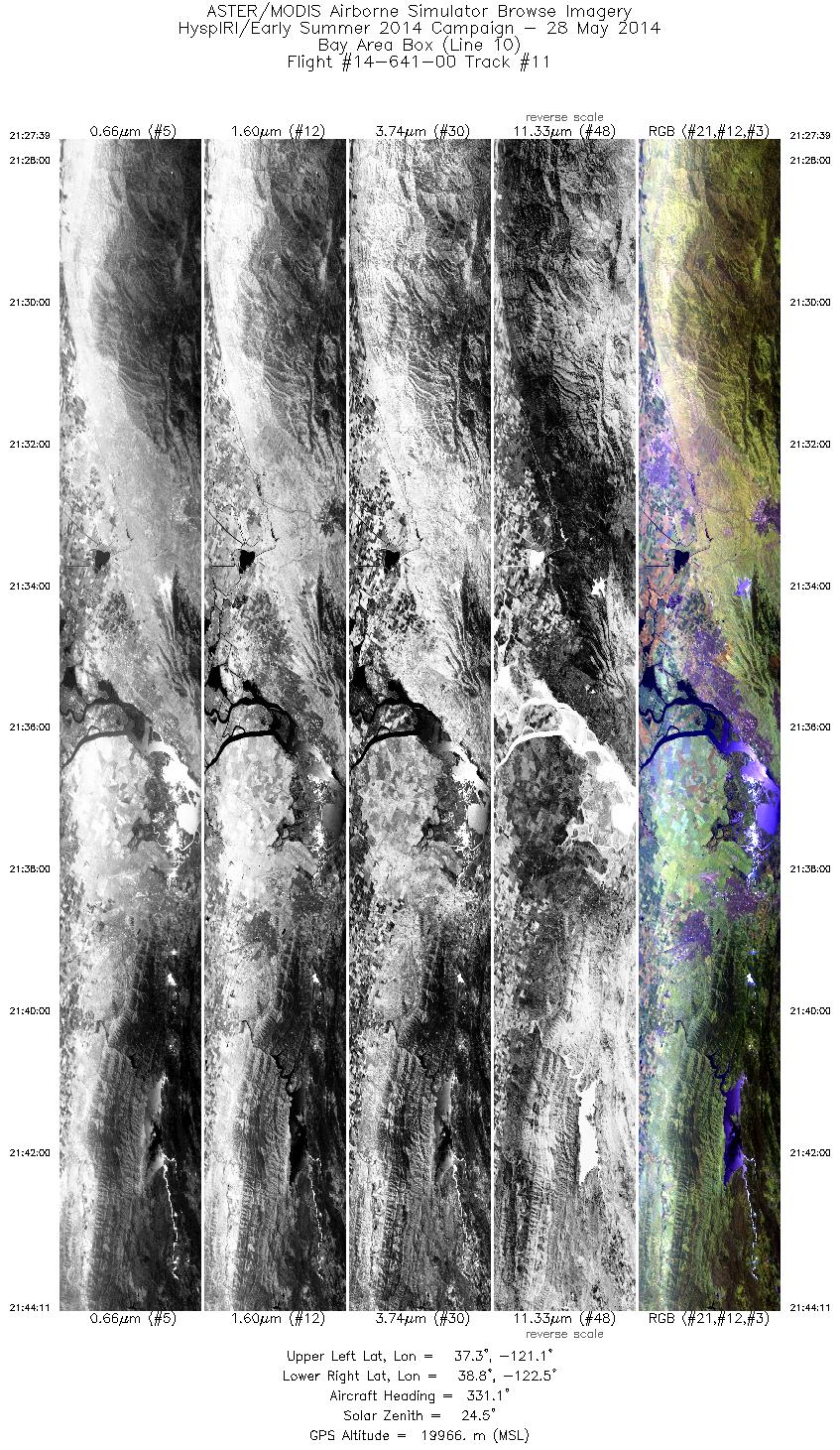
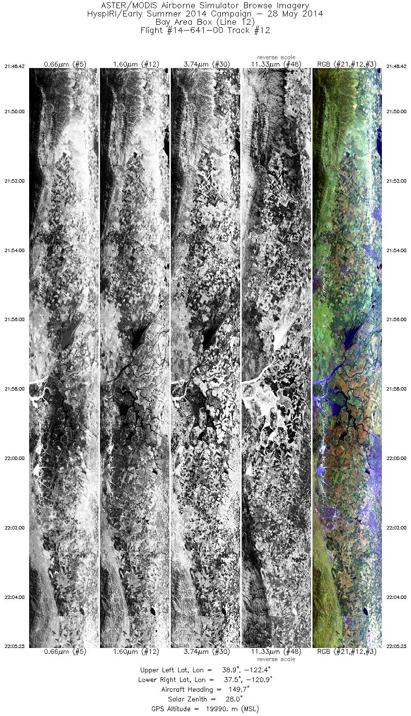
FLIGHT SUMMARY INFORMATION
Flight Track Map


|
Flight: 14-641-00 Date: May 28, 2014 Aircraft: NASA ER-2, #806 Deployment: HyspIRI Late Spring 2014 Flight Location: San Francisco Bay Area Principal Investigator: Rob Green / Simon Hook (JPL) Additional Sensors: AirMSPi / AVIRIS |
||||||||||||||||||||||||||||||||||||||||||||||||||||||||||||||||||||||||||||||||||||||||||||||||||||||||||||||||
|
Data Evaluation Overall data quality is good. All data collected @6.25Hz Reprocessed with Revised Navigation Offsets |
||||||||||||||||||||||||||||||||||||||||||||||||||||||||||||||||||||||||||||||||||||||||||||||||||||||||||||||||
|
Processing Information Level-1B Data in HDF format is available Flight Line Summary Spectral Band Configuration Spectral Response Function Table Spectral Response Function (text) |
||||||||||||||||||||||||||||||||||||||||||||||||||||||||||||||||||||||||||||||||||||||||||||||||||||||||||||||||
|
Browse Imagery Flight Tracks: 12 Scanlines: 89397 |
||||||||||||||||||||||||||||||||||||||||||||||||||||||||||||||||||||||||||||||||||||||||||||||||||||||||||||||||
|
||||||||||||||||||||||||||||||||||||||||||||||||||||||||||||||||||||||||||||||||||||||||||||||||||||||||||||||||


