


FLIGHT SUMMARY INFORMATION
Flight Track Map


|
Flight: 13-004-06 Date: June 19, 2013 Aircraft: NASA DC8, #817 Deployment: SARP 2013 Flight Location: Central Valley / Santa Barbara Channel, CA Principal Investigator: Ustin (UCD) / Kudela (UCSC) Additional Sensors: DMS / AVOCET / WAS / PTG / UNSAS / Mini CMS / IRID / ARMAS |
|||||||||||||||||||||||||||||||||||||||||||||||||||||||||||||||||||||||||||||||||||||||||||||||||||||||||
|
Data Evaluation Overall data quality is good. All data collected @25Hz |
|||||||||||||||||||||||||||||||||||||||||||||||||||||||||||||||||||||||||||||||||||||||||||||||||||||||||
|
Processing Information Level-1B Data in HDF format is available Flight Line Summary Spectral Band Configuration Spectral Response Function Table Spectral Response Function (text) |
|||||||||||||||||||||||||||||||||||||||||||||||||||||||||||||||||||||||||||||||||||||||||||||||||||||||||
|
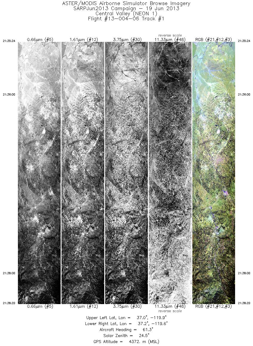
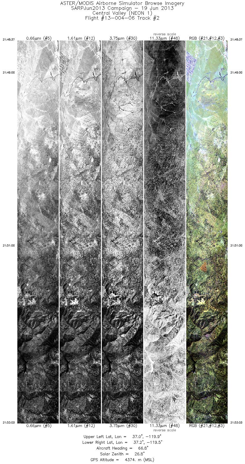
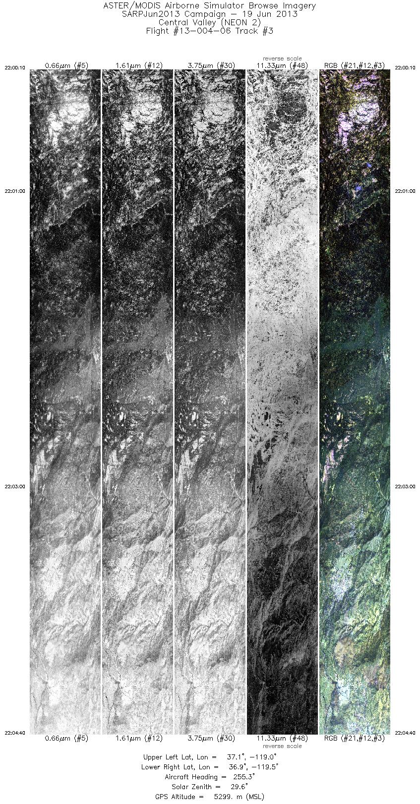
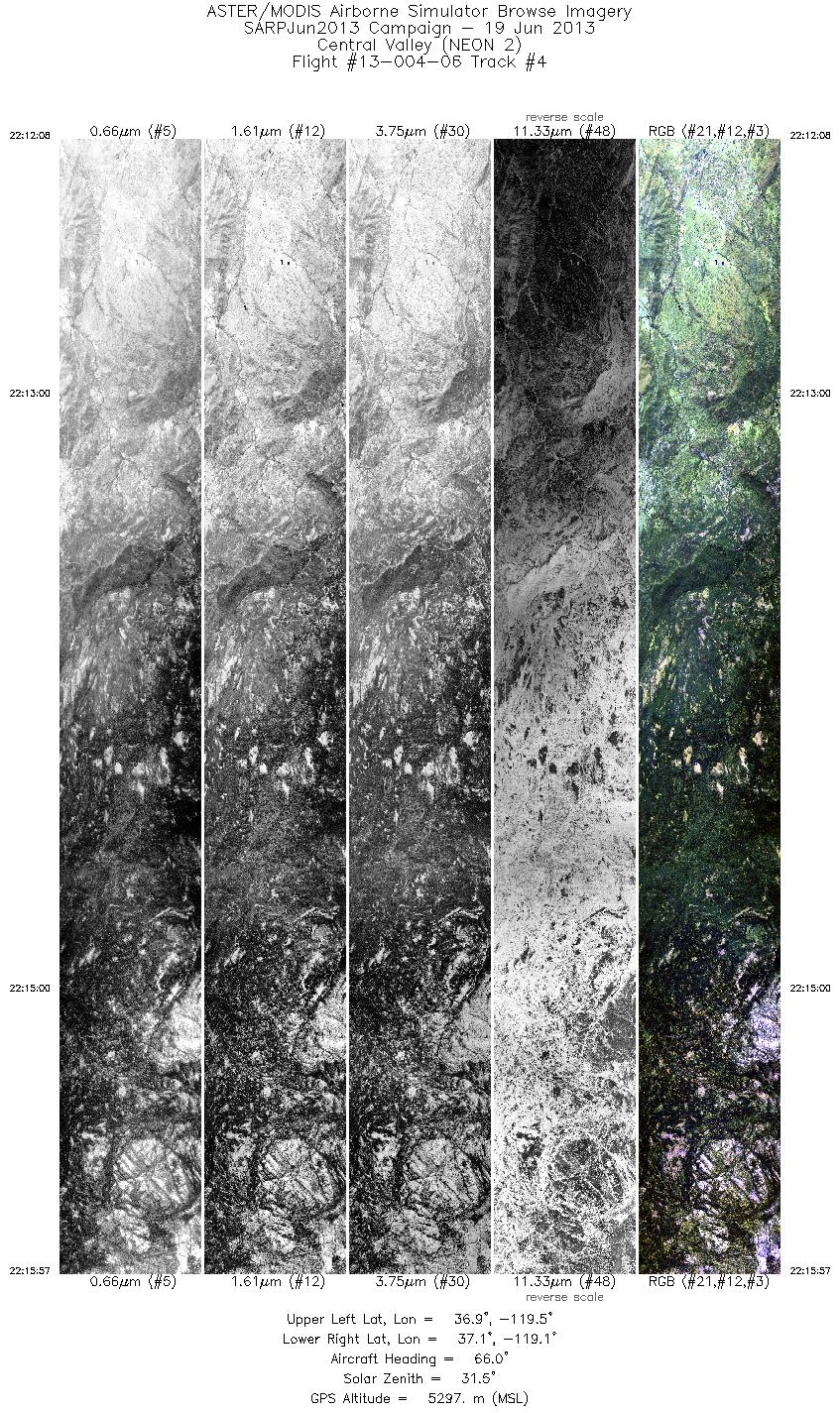
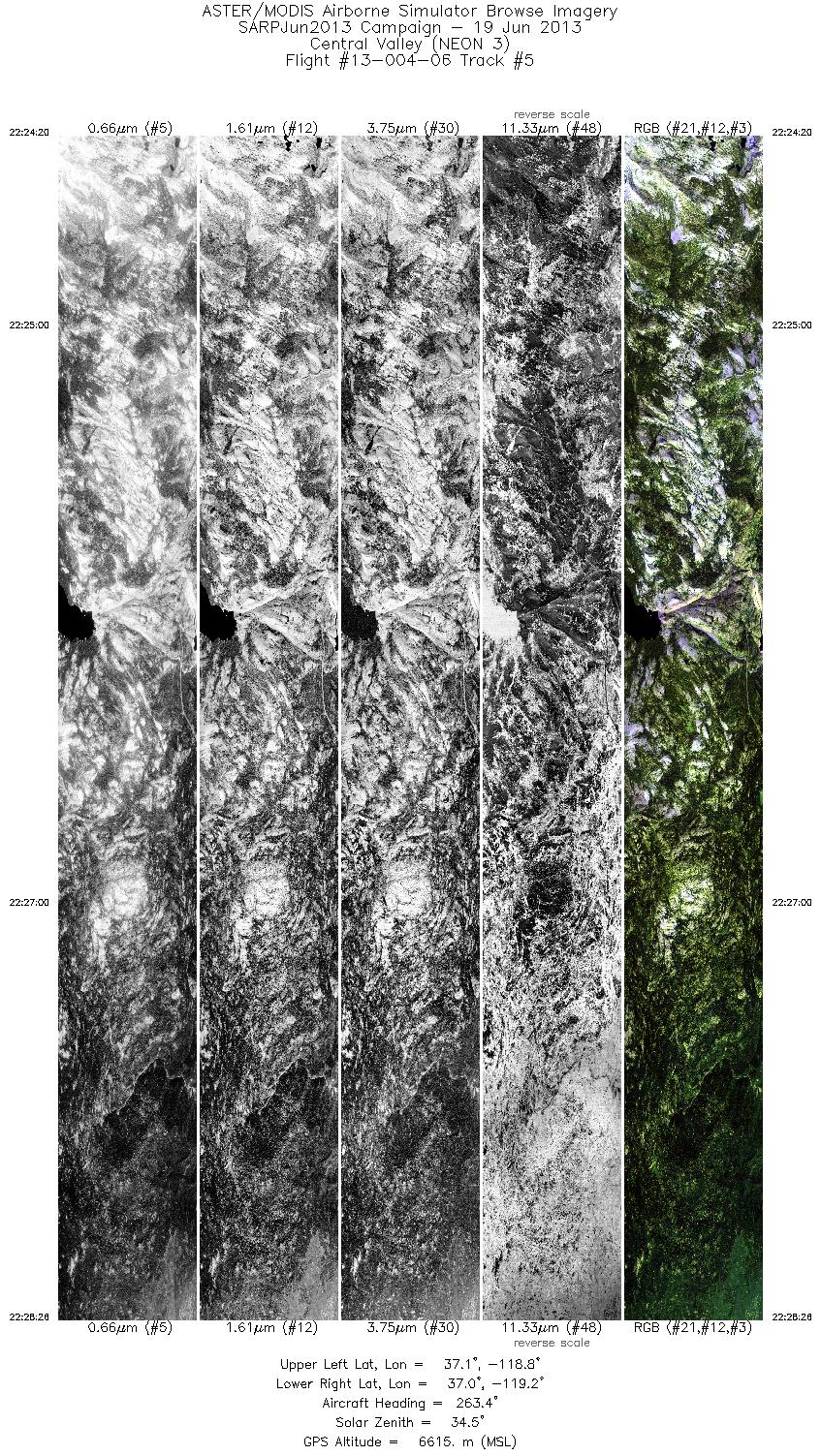
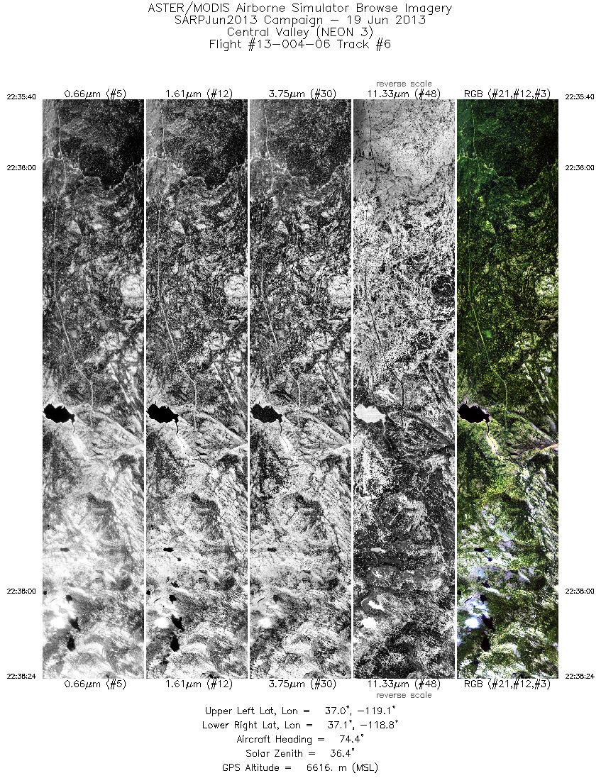
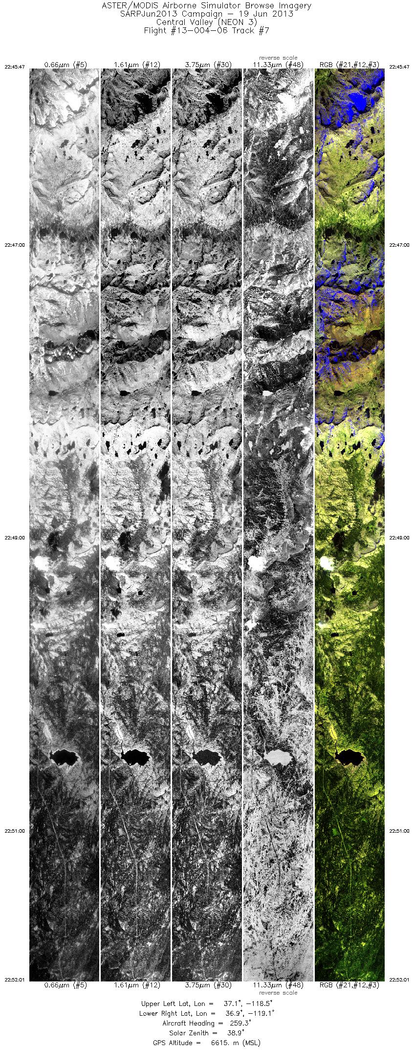
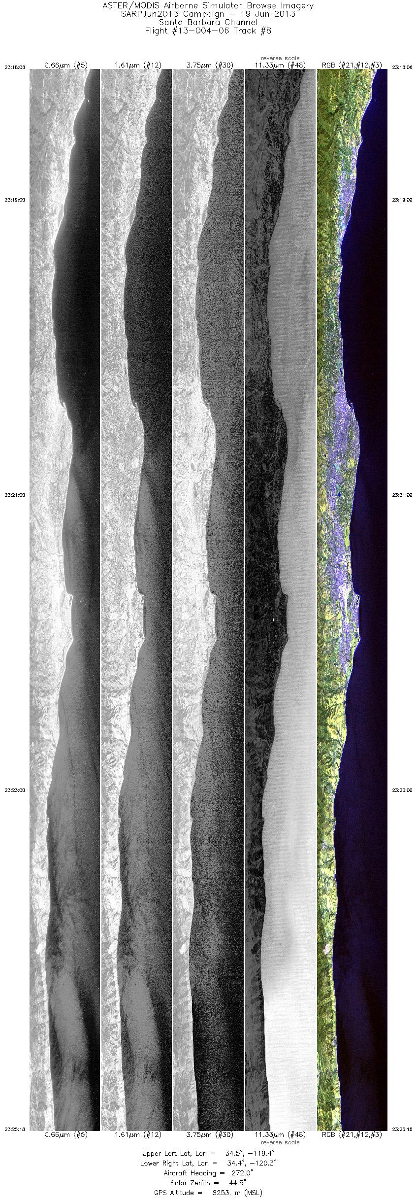
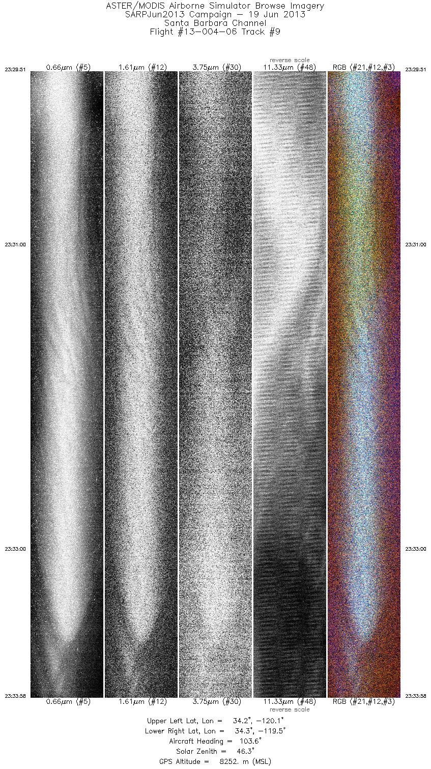
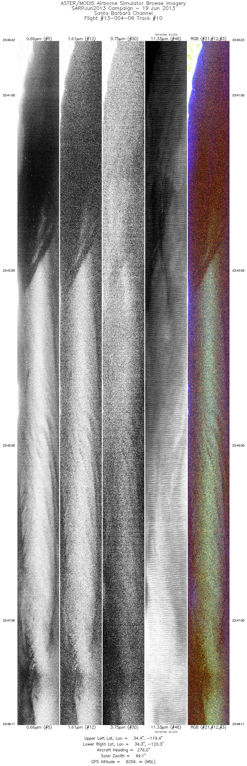
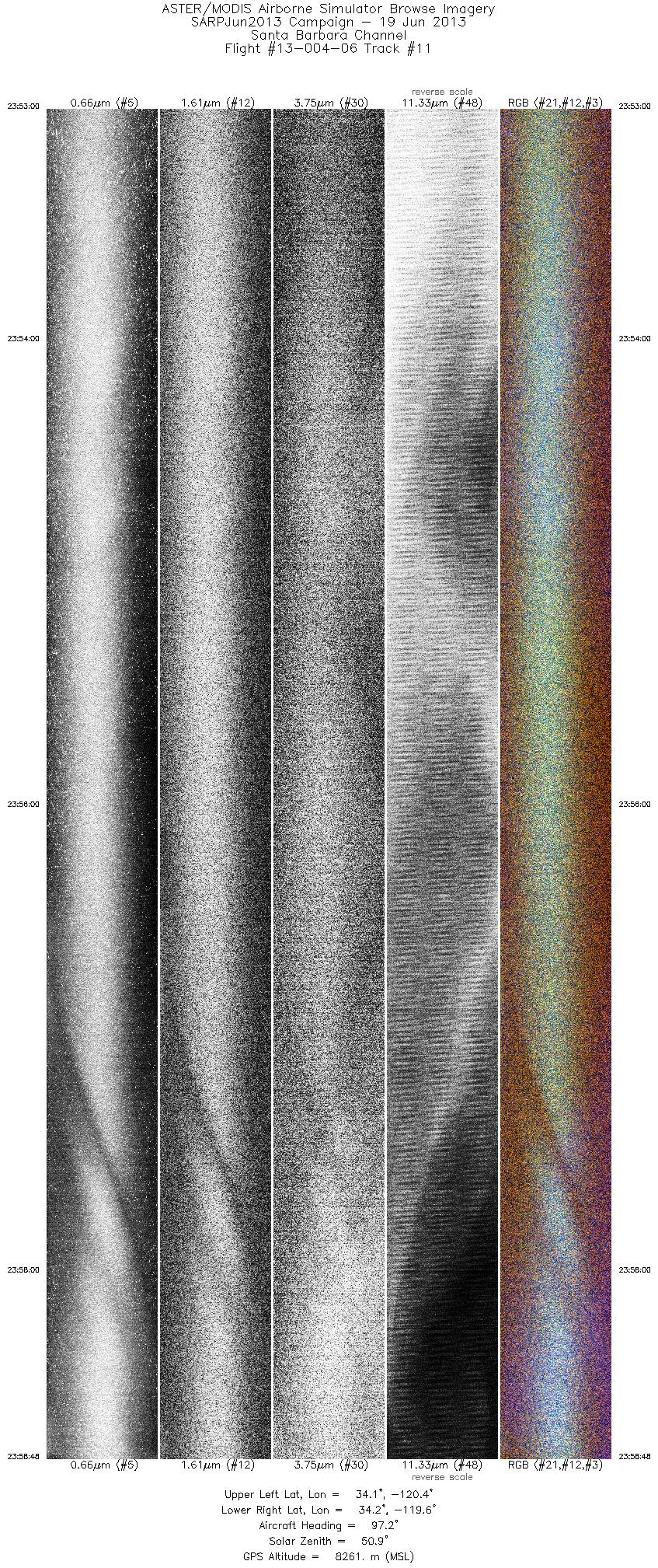
Browse Imagery Flight Tracks: 11 Scanlines: 80287 |
|||||||||||||||||||||||||||||||||||||||||||||||||||||||||||||||||||||||||||||||||||||||||||||||||||||||||
|
|||||||||||||||||||||||||||||||||||||||||||||||||||||||||||||||||||||||||||||||||||||||||||||||||||||||||


