


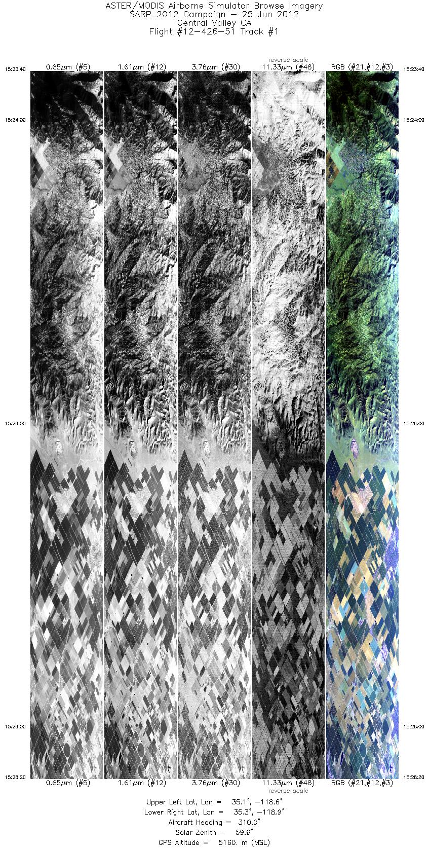
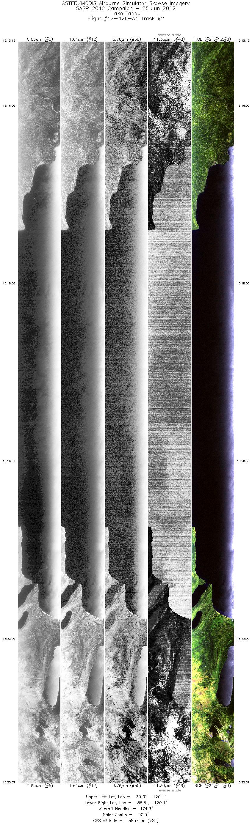
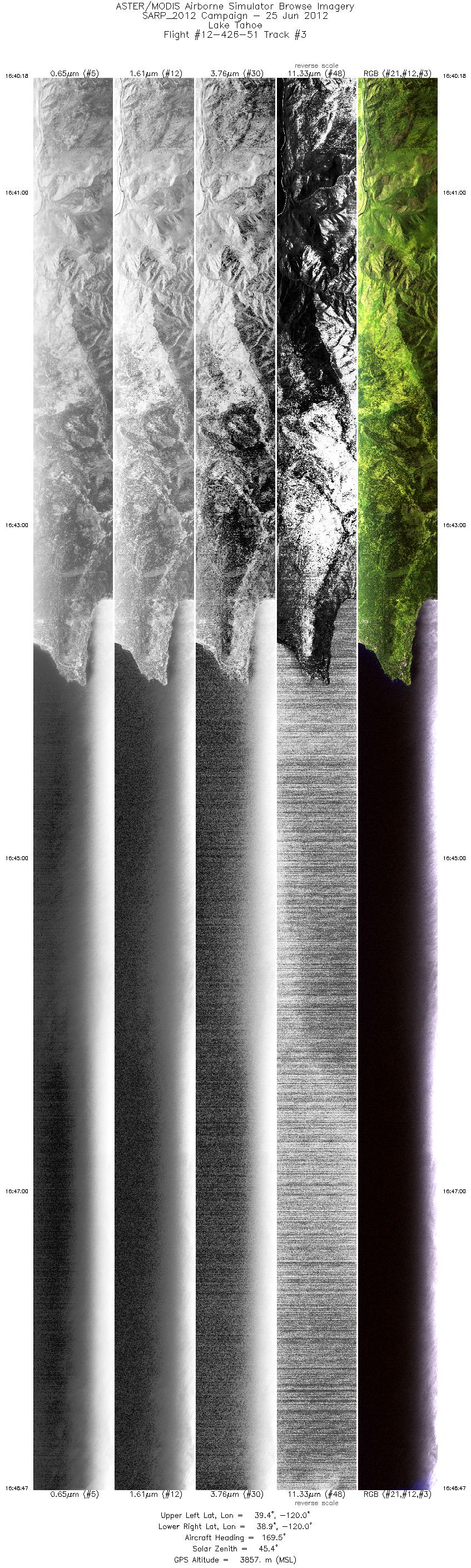
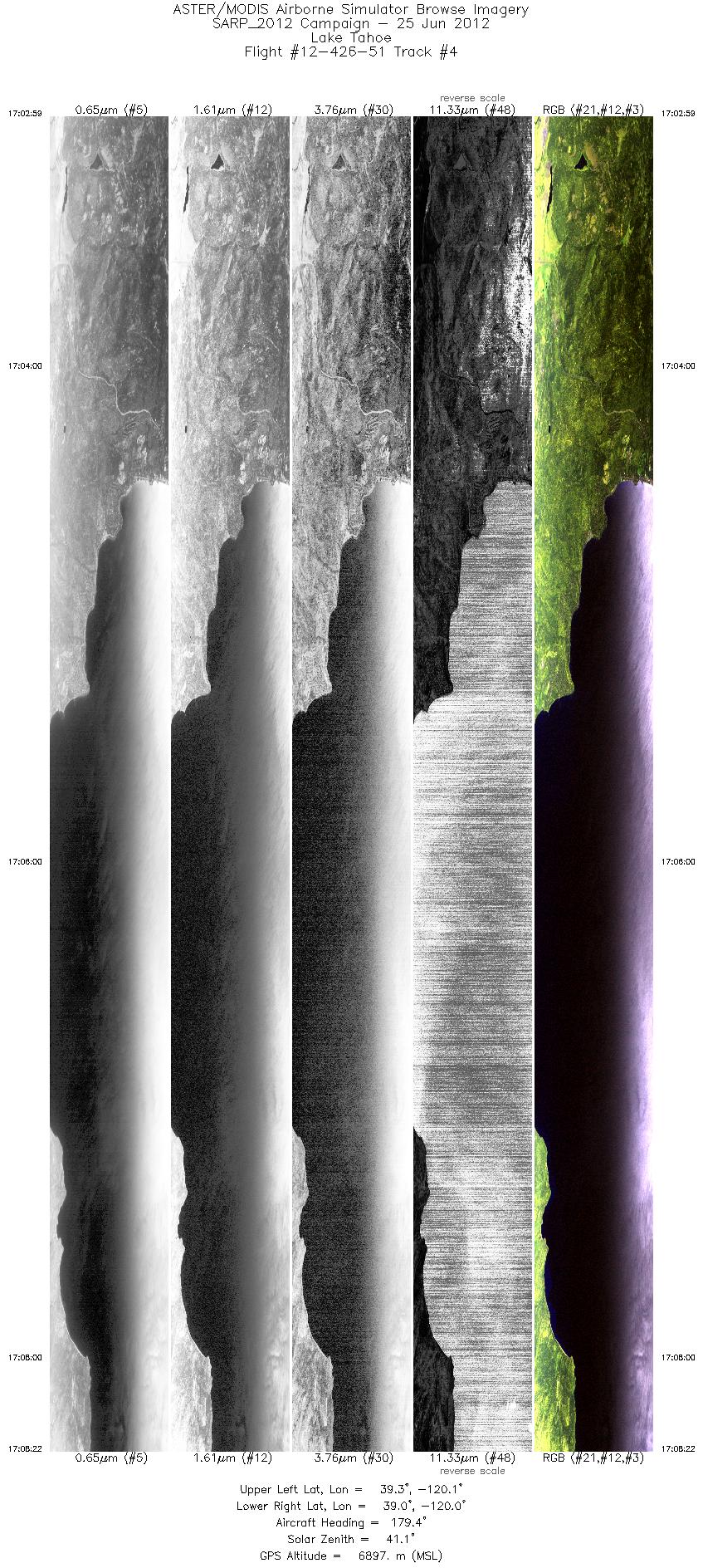
FLIGHT SUMMARY INFORMATION
Flight Track Map


|
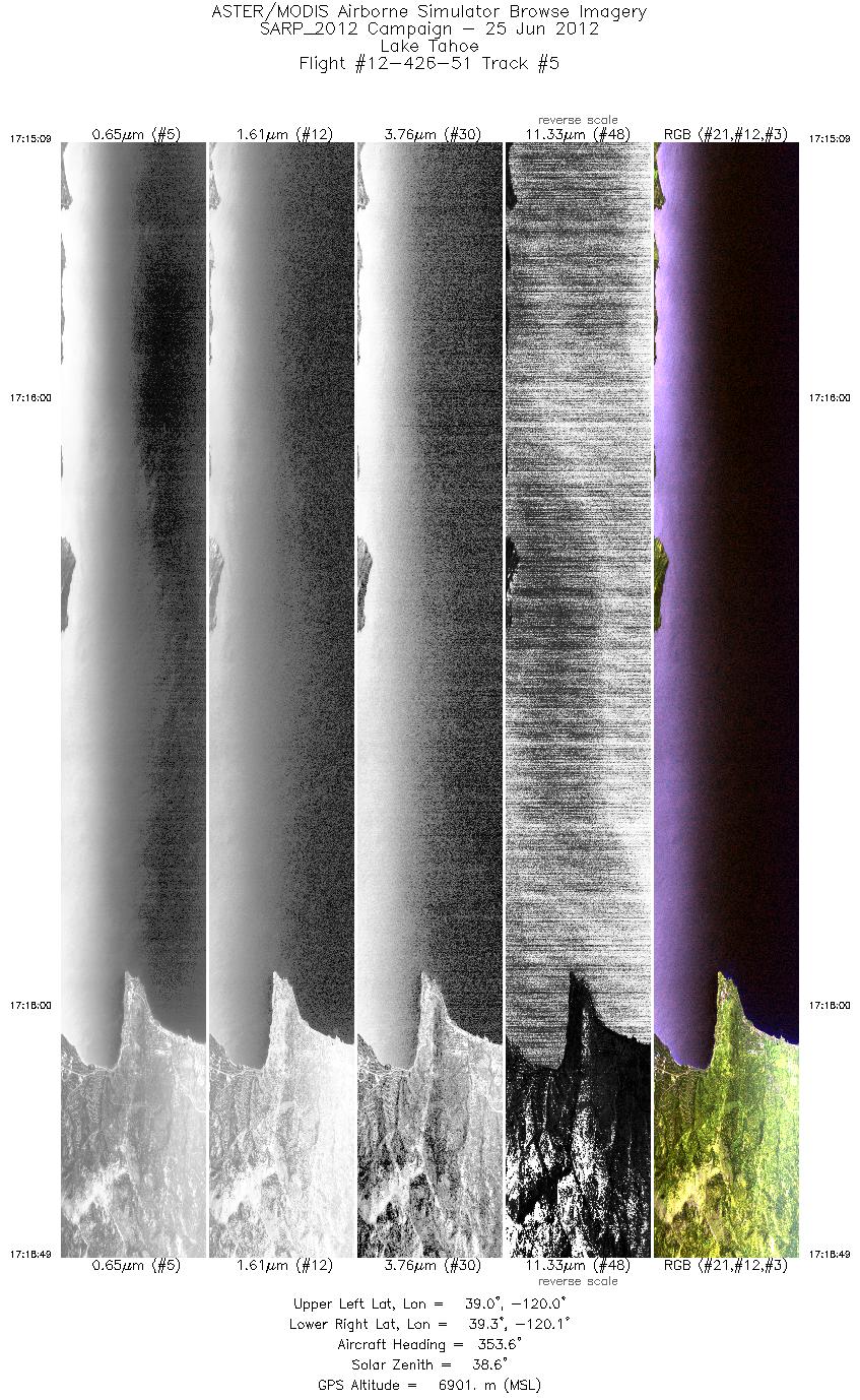
Flight: 12-426-51 Date: June 25, 2012 Aircraft: NASA P-3B, #426 Deployment: SARP 2012 Flight Location: Central Valley / Lake Tahoe, CA Principal Investigator: Myers (UCSC) Additional Sensors: DCS |
|||||||||||||||||||||||||||||||||||||||||||||||||||||||||||||||
|
Data Evaluation Overall data quality is good; Channel 45 extremely limited. All data collected @25Hz |
|||||||||||||||||||||||||||||||||||||||||||||||||||||||||||||||
|
Processing Information Level-1B Data in HDF format is available Flight Line Summary Spectral Band Configuration Spectral Response Function Table Spectral Response Function (text) |
|||||||||||||||||||||||||||||||||||||||||||||||||||||||||||||||
|
Browse Imagery Flight Tracks: 5 Scanlines: 45700 |
|||||||||||||||||||||||||||||||||||||||||||||||||||||||||||||||
|
|||||||||||||||||||||||||||||||||||||||||||||||||||||||||||||||


