Flight: 11-661-00
Date: July 19, 2011
Aircraft: NASA ER2, #806
Deployment: DFRC July 2011
Flight Location: Monterey County / Santa Barbara, CA
Principal Investigator: Kruse (HGI), Roberts (UCSB)
Additional Sensors: AVIRIS
|
Data Evaluation
Overall data quality is good.
All data collected @28K MSL
|
Processing Information
Level-1B Data in HDF format is available
Flight Line Summary
Spectral Band Configuration
Spectral Response Function Table
Spectral Response Function (text)
|
Browse Imagery
Flight Tracks: 22
Scanlines: 83595
|
Browse Imagery Table
|
Click a Flight Track number to view a quicklook image
Lat/Lon ranges are for the BEG-END scanline nadir pixels
|
Flight
Track |
Time Span
(UTC) |
Heading
(Deg) |
Lat Range
(Deg N) |
Lon Range
(Deg W) |
Length
(Scanlines) |
Altitude
(Meters) |
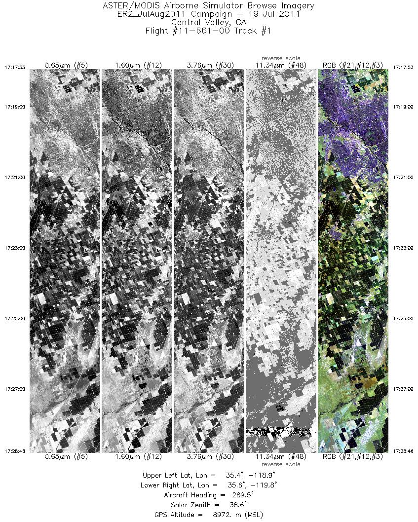
| 1 |
17:17 - 17:28 |
288.9 |
35.320 - 35.657 |
118.925 - 119.753 |
3890 |
8972 |
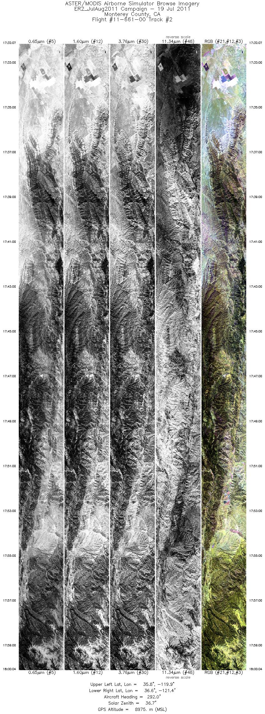
| 2 |
17:32 - 18:00 |
293.6 |
35.743 - 36.628 |
119.976 - 121.370 |
9999 |
8985 |
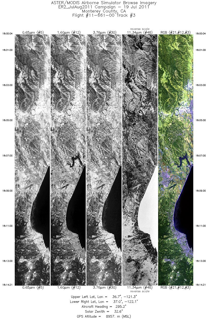
| 3 |
18:00 - 18:14 |
296.9 |
36.628 - 37.075 |
121.370 - 122.097 |
5117 |
8974 |
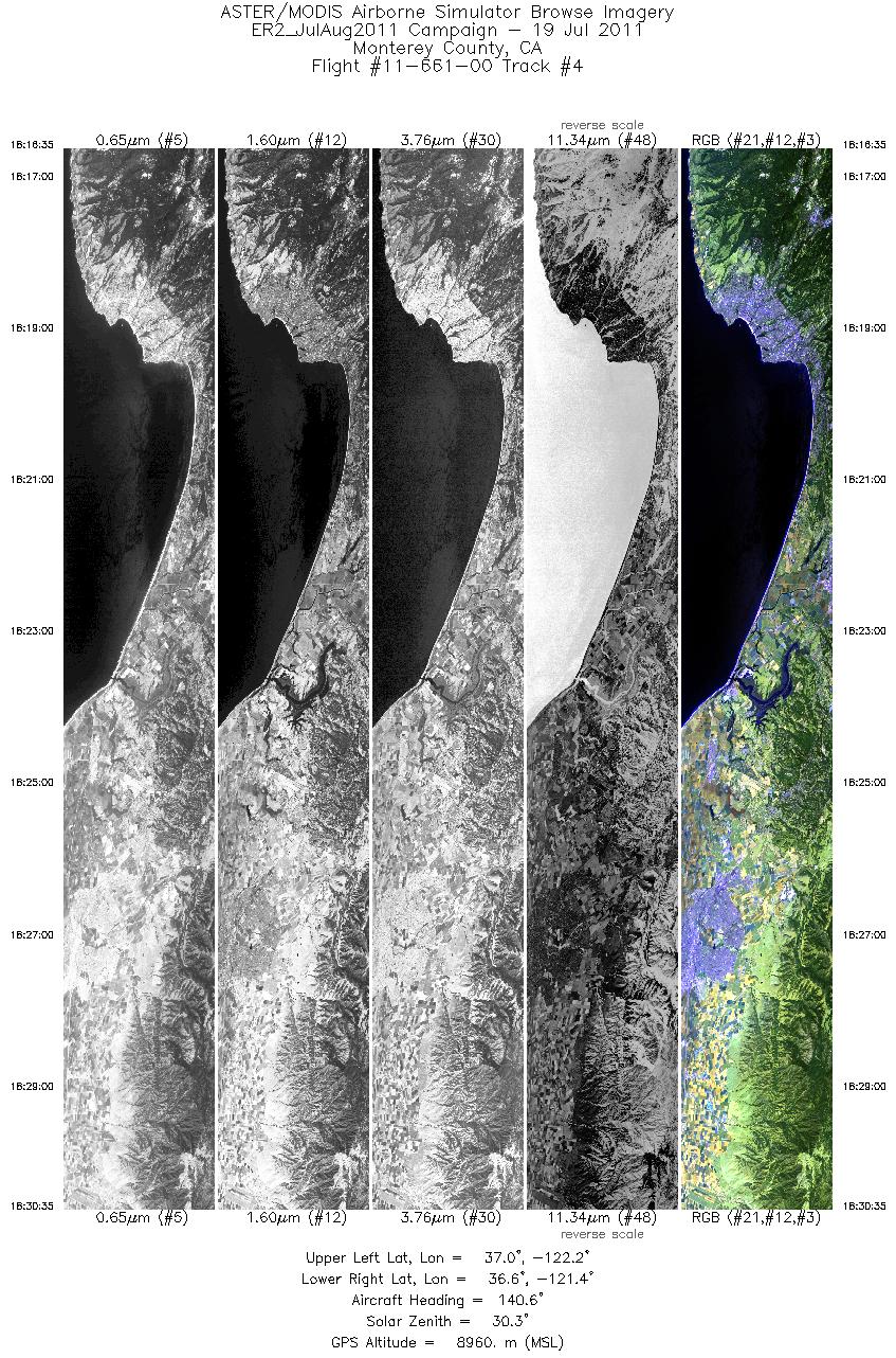
| 4 |
18:16 - 18:30 |
140.1 |
37.045 - 36.608 |
122.125 - 121.417 |
5014 |
8977 |
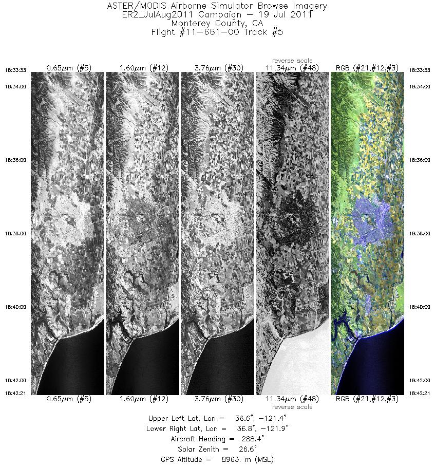
| 5 |
18:33 - 18:42 |
292.4 |
36.569 - 36.840 |
121.427 - 121.874 |
3149 |
8966 |
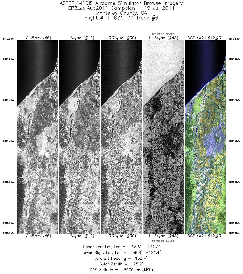
| 6 |
18:44 - 18:53 |
135.9 |
36.817 - 36.524 |
121.914 - 121.441 |
3379 |
8980 |
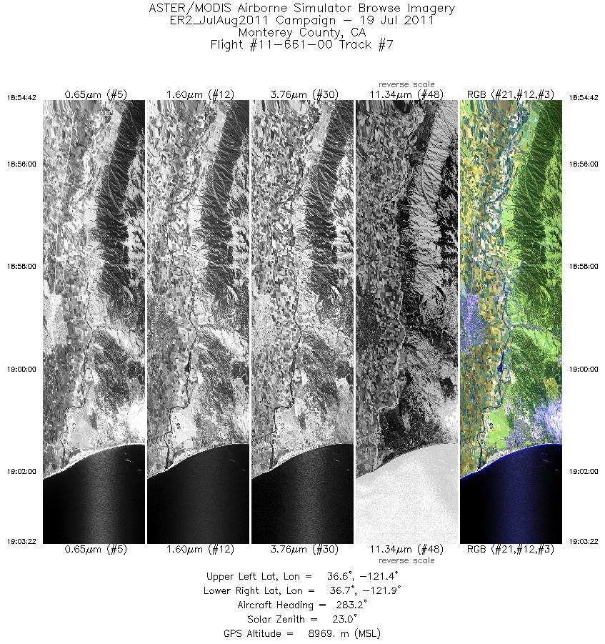
| 7 |
18:54 - 19:03 |
289.0 |
36.493 - 36.756 |
121.460 - 121.901 |
3105 |
8994 |
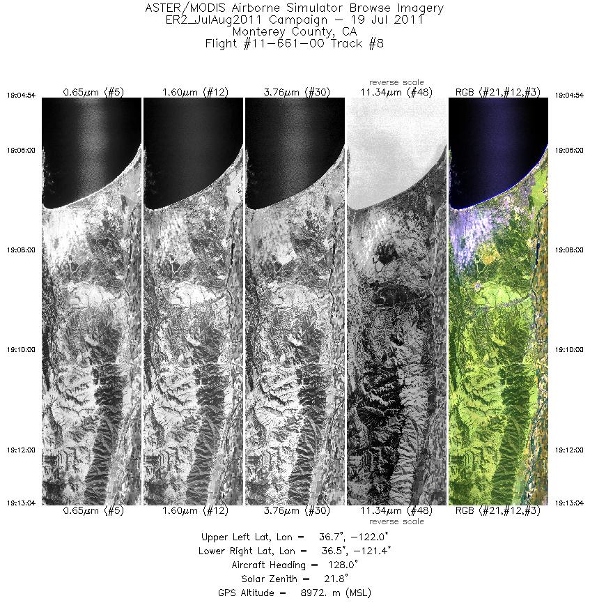
| 8 |
19:04 - 19:13 |
134.5 |
36.718 - 36.464 |
121.924 - 121.510 |
2929 |
8973 |
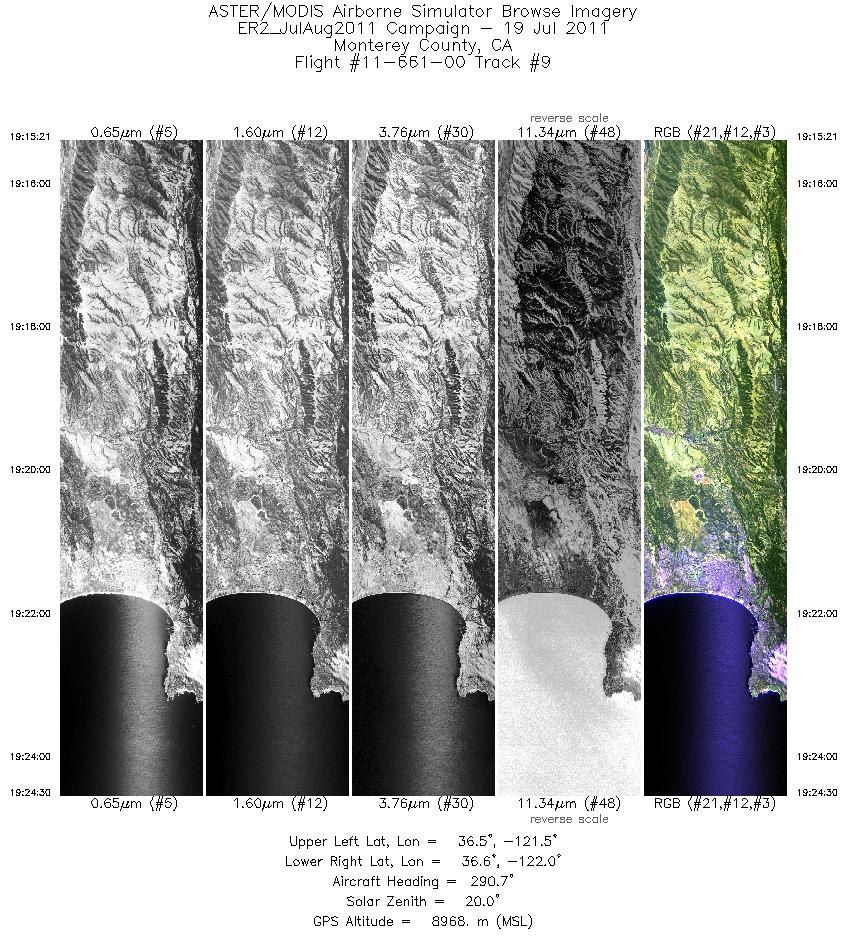
| 9 |
19:15 - 19:24 |
293.3 |
36.429 - 36.710 |
121.524 - 121.990 |
3280 |
8983 |
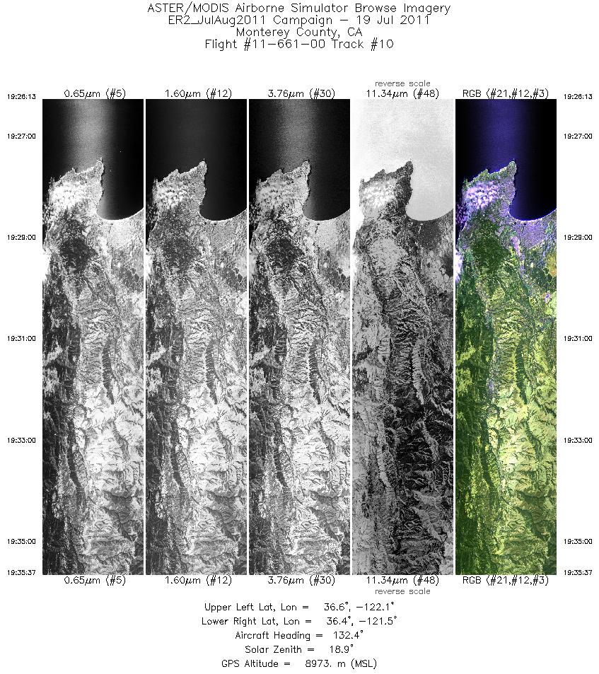
| 10 |
19:26 - 19:35 |
135.4 |
36.668 - 36.380 |
122.006 - 121.528 |
3368 |
8959 |
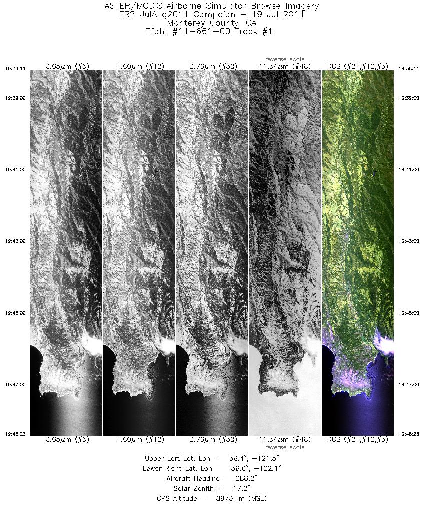
| 11 |
19:38 - 19:48 |
291.9 |
36.322 - 36.631 |
121.506 - 122.023 |
3658 |
8980 |
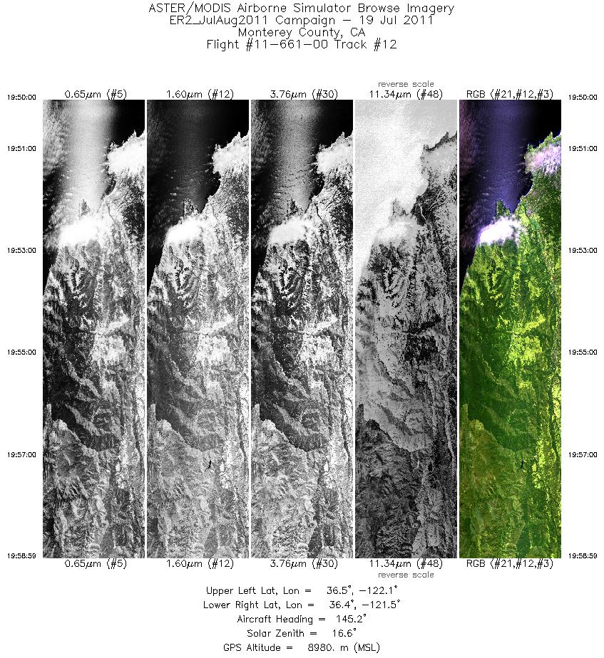
| 12 |
19:49 - 19:58 |
141.1 |
36.594 - 36.323 |
122.038 - 121.592 |
3221 |
8965 |
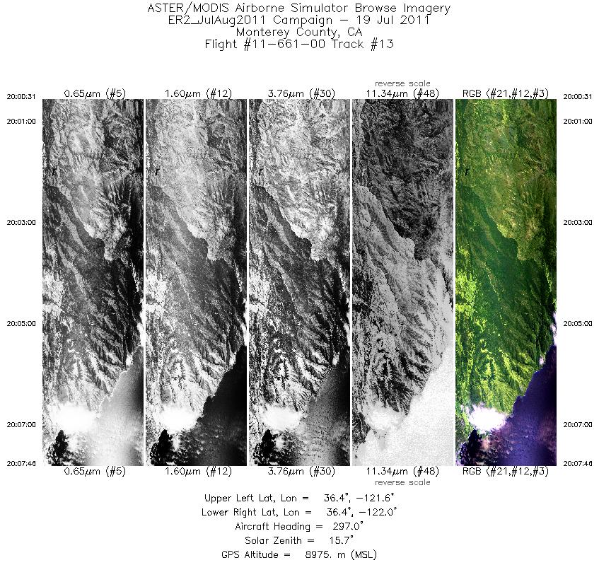
| 13 |
20:00 - 20:07 |
296.5 |
36.293 - 36.510 |
121.623 - 121.985 |
2599 |
8998 |
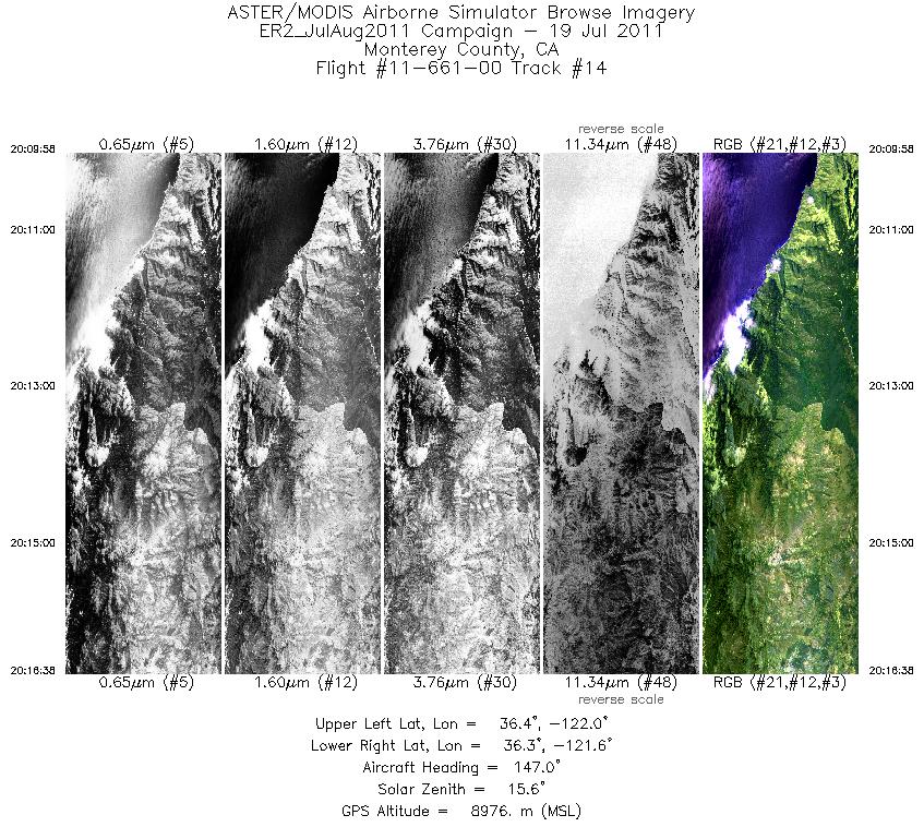
| 14 |
20:09 - 20:16 |
141.9 |
36.459 - 36.254 |
121.969 - 121.642 |
2390 |
8979 |
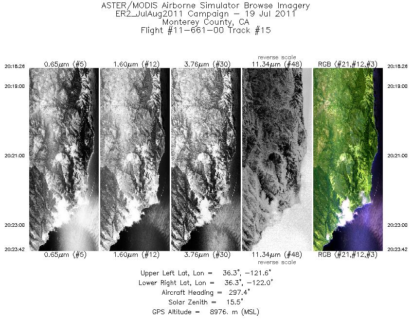
| 15 |
20:18 - 20:23 |
296.6 |
36.233 - 36.387 |
121.683 - 121.947 |
1888 |
8990 |
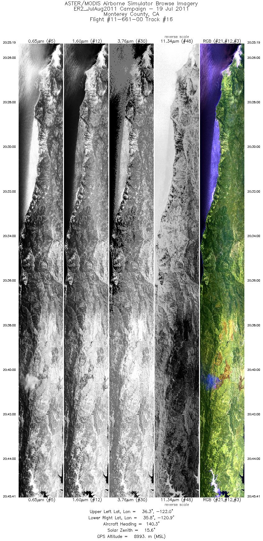
| 16 |
20:25 - 20:45 |
138.4 |
36.349 - 35.741 |
121.961 - 120.946 |
7297 |
8997 |
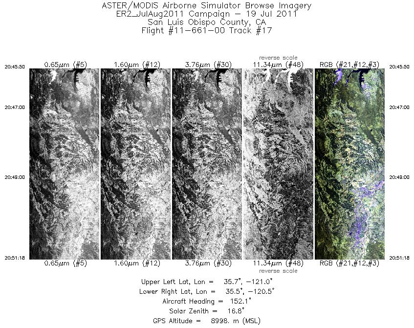
| 17 |
20:45 - 20:51 |
147.9 |
35.736 - 35.419 |
120.939 - 120.618 |
1958 |
8998 |
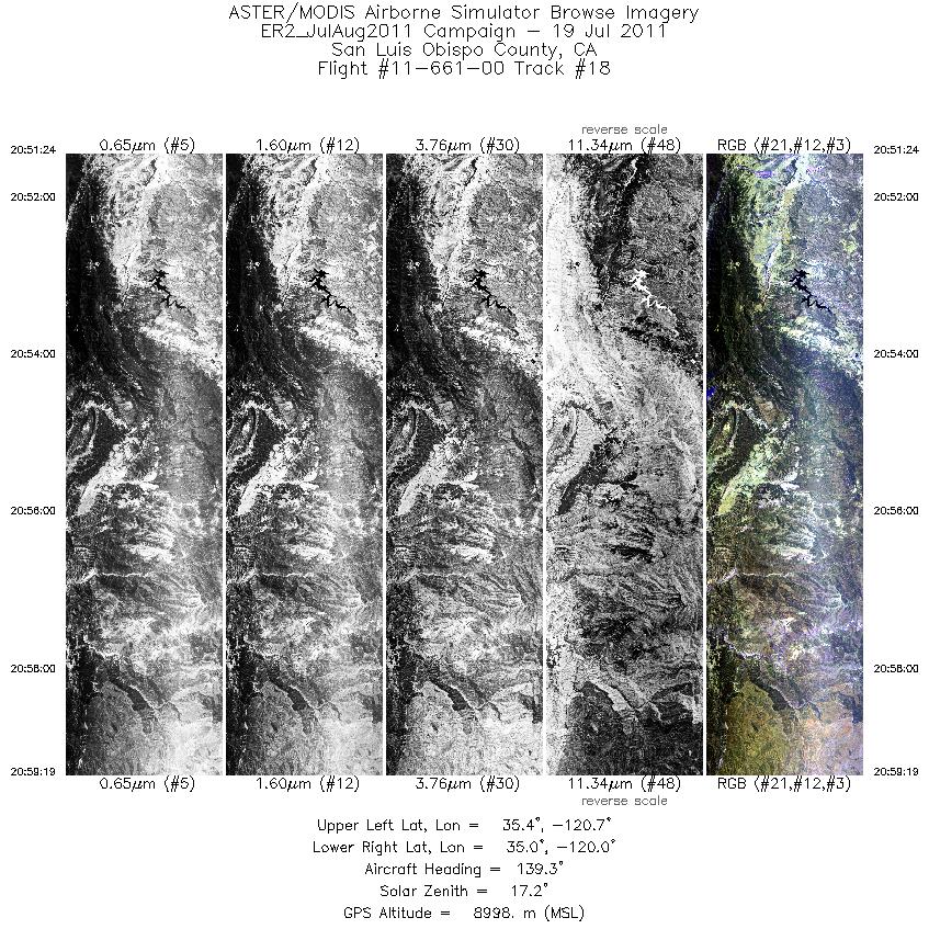
| 18 |
20:51 - 20:59 |
143.1 |
35.413 - 34.956 |
120.611 - 120.092 |
2839 |
9006 |
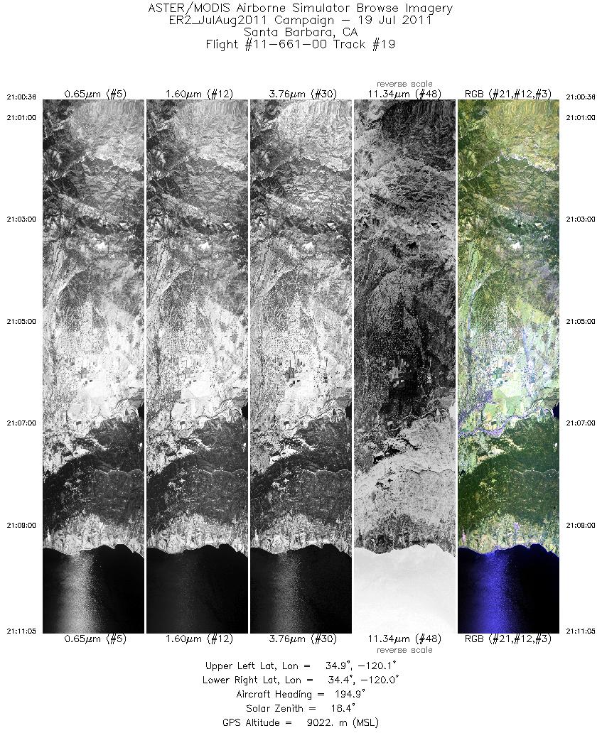
| 19 |
21:00 - 21:11 |
191.2 |
34.902 - 34.378 |
120.050 - 120.052 |
3761 |
9017 |
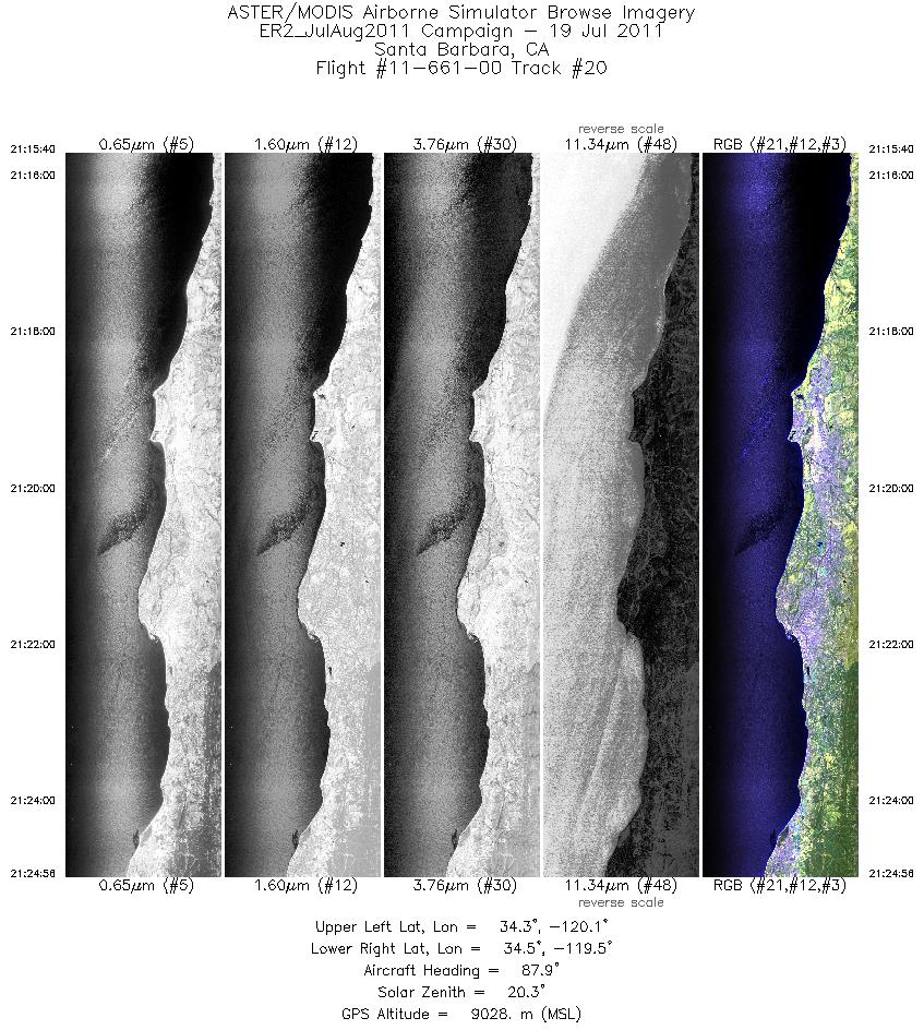
| 20 |
21:15 - 21:24 |
93.3 |
34.397 - 34.400 |
120.074 - 119.509 |
3320 |
9036 |
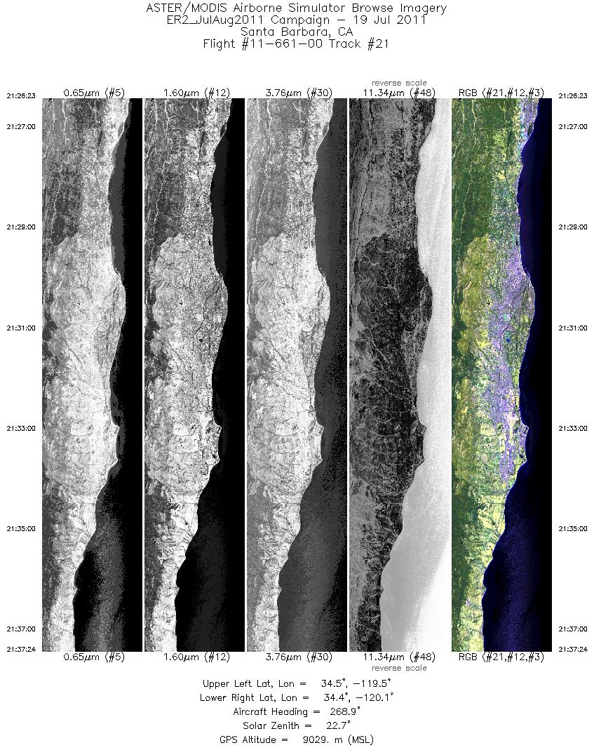
| 21 |
21:26 - 21:37 |
267.5 |
34.435 - 34.438 |
119.505 - 120.088 |
3946 |
9063 |
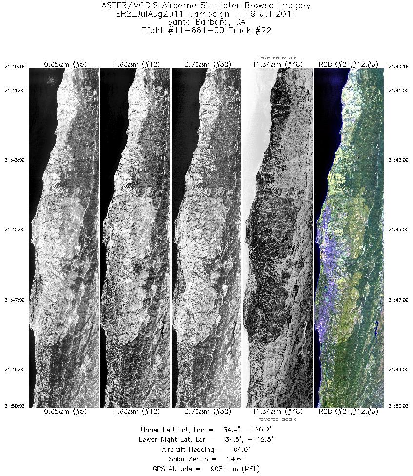
| 22 |
21:40 - 21:50 |
101.2 |
34.473 - 34.476 |
120.139 - 119.547 |
3488 |
9019 |
|


