


FLIGHT SUMMARY INFORMATION
Flight Track Map


|
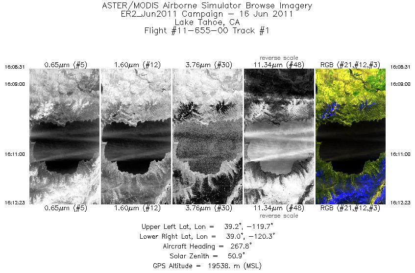
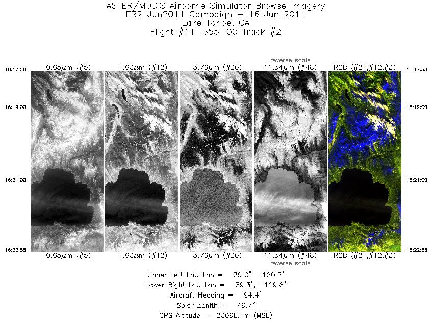
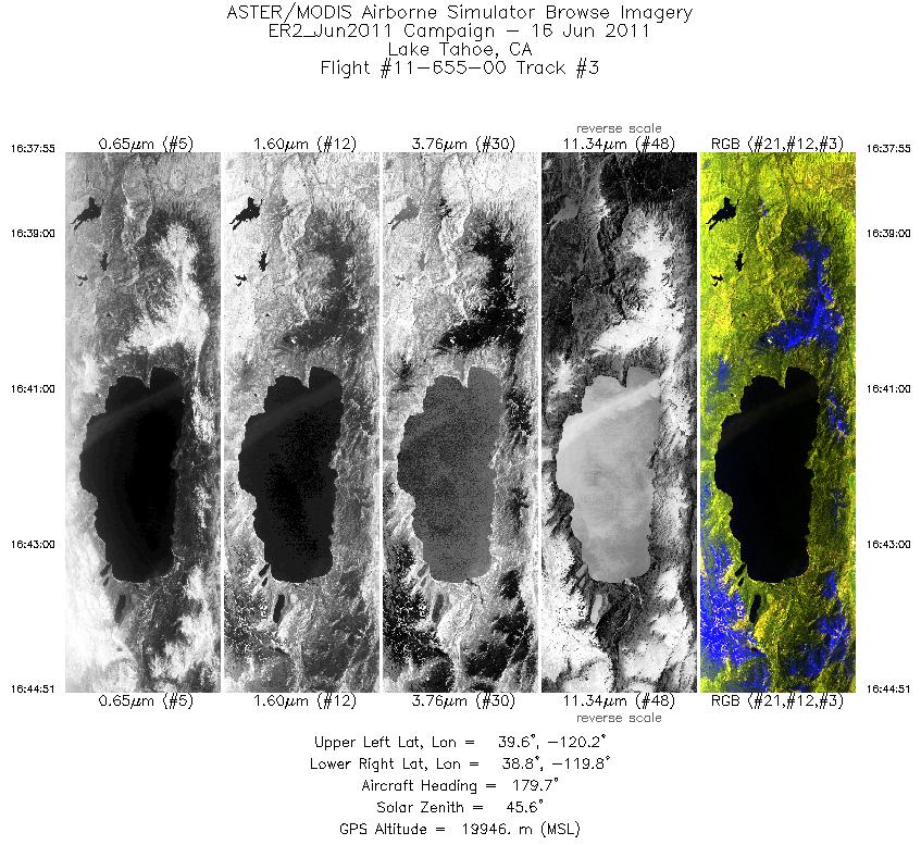
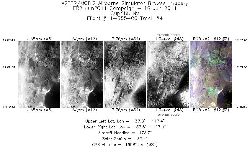
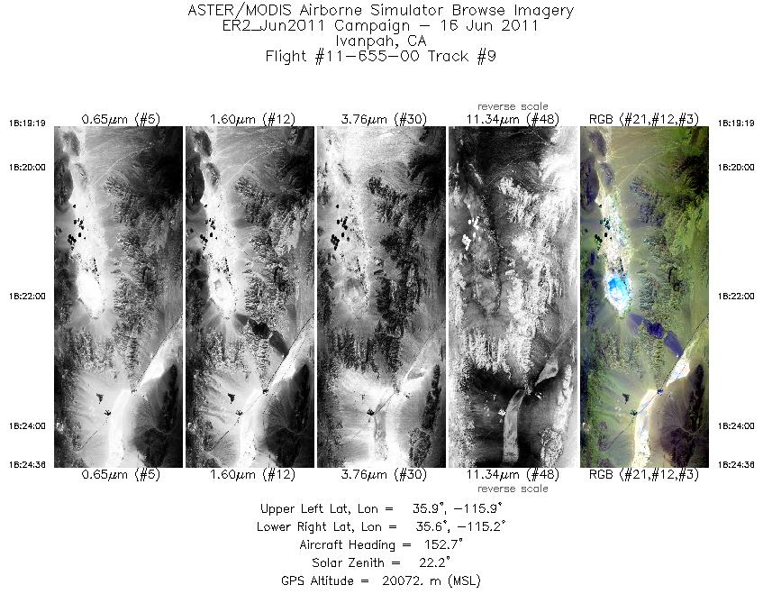
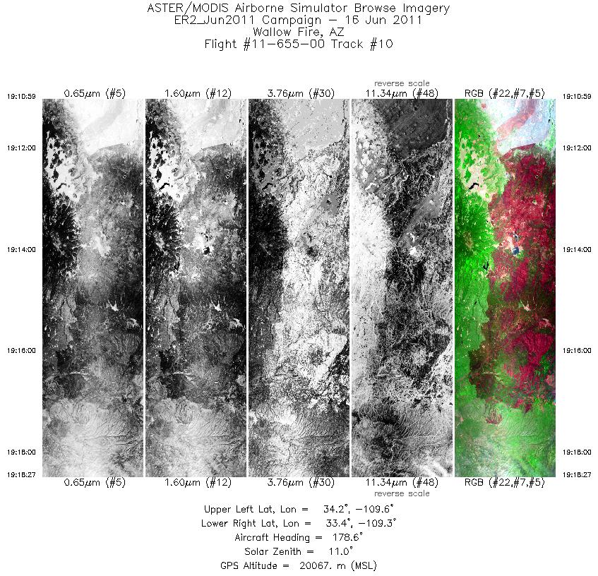
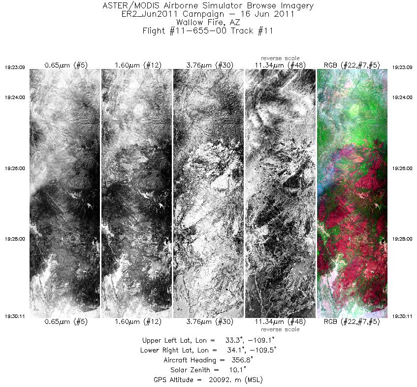
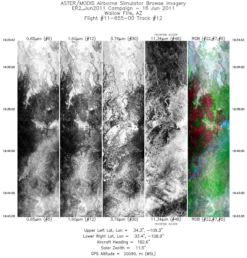
Flight: 11-655-00 Date: June 16, 2011 Aircraft: NASA ER2, #806 Deployment: DFRC June 2011 Flight Location: Lake Tahoe / Ivanpah, CA / Wallow Fire, AZ Principal Investigator: Painter (NSIDC), Myers (UCSC) Additional Sensors: AVIRIS |
||||||||||||||||||||||||||||||||||||||||||||||||||||||||||||||||||||||||||||||||||||||||||||||||||||||||||||||||||||||||||||||
|
Data Evaluation Overall data quality is good. |
||||||||||||||||||||||||||||||||||||||||||||||||||||||||||||||||||||||||||||||||||||||||||||||||||||||||||||||||||||||||||||||
|
Processing Information Level-1B Data in HDF format is available Flight Line Summary Spectral Band Configuration Spectral Response Function Table Spectral Response Function (text) |
||||||||||||||||||||||||||||||||||||||||||||||||||||||||||||||||||||||||||||||||||||||||||||||||||||||||||||||||||||||||||||||
|
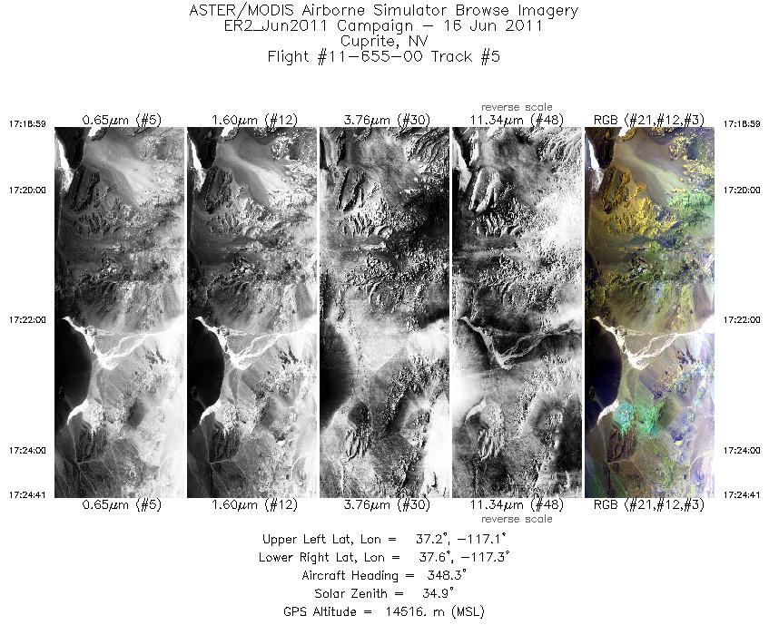
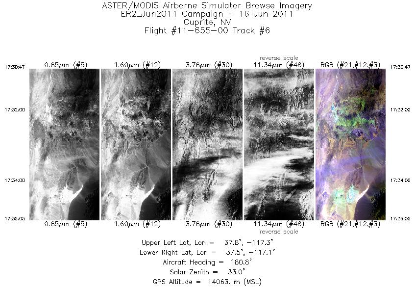
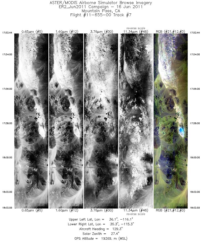
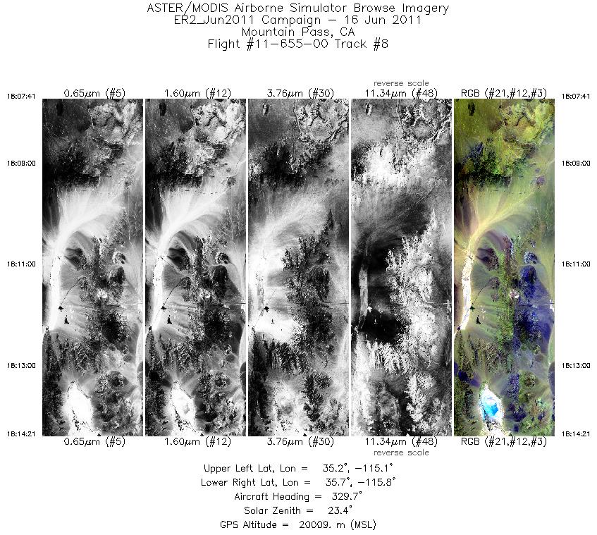
Browse Imagery Flight Tracks: 14 Scanlines: 31640 |
||||||||||||||||||||||||||||||||||||||||||||||||||||||||||||||||||||||||||||||||||||||||||||||||||||||||||||||||||||||||||||||
|
||||||||||||||||||||||||||||||||||||||||||||||||||||||||||||||||||||||||||||||||||||||||||||||||||||||||||||||||||||||||||||||

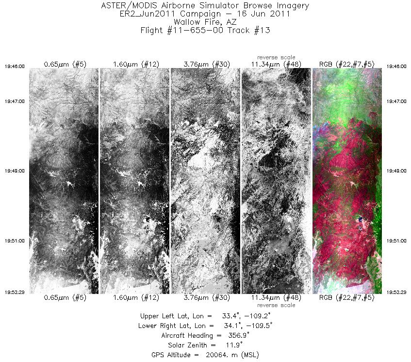
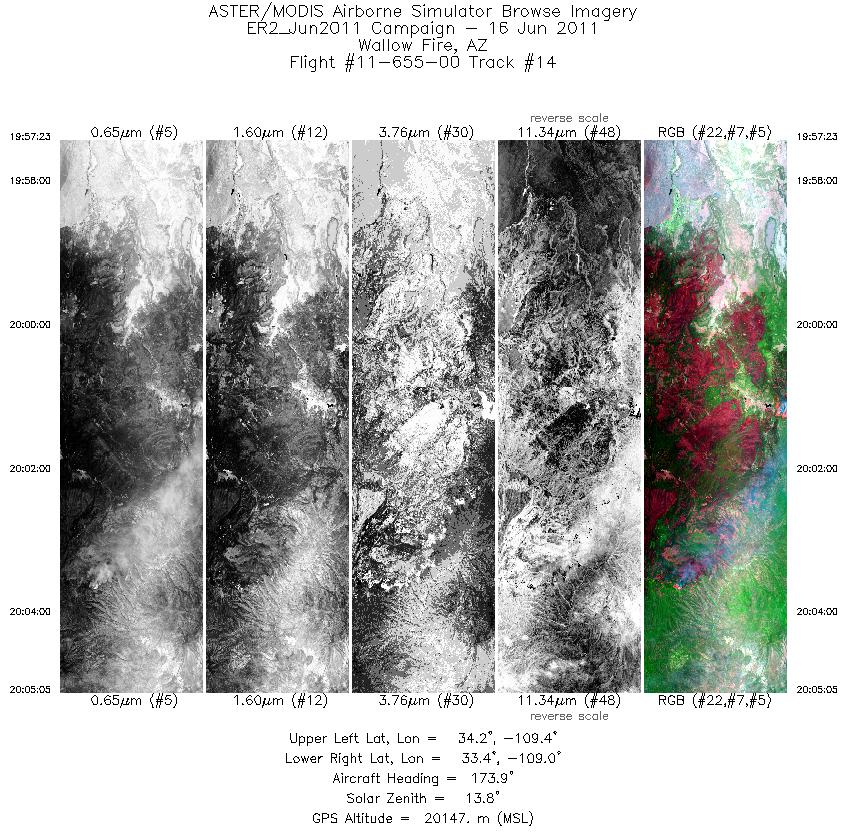
Flight 11-655-00


| Sample Imagery |
| Click image for full resolution |
|
Track #12 Wallow Fire, AZ |


|
|
R: 2.22µm G: 0.75µm B: 0.65µm |


