Flight: 11-004-05
Date: July 16, 2011
Aircraft: DOE B-200 #796
Deployment: RSL July 2011
Flight Location: Phoenix, Arizona (Night)
Principal Investigator: Stefanov (ASU)
Additional Sensors: None
|
Data Evaluation
Overall data quality is good.
|
Processing Information
Level-1B Data in HDF format is available
Flight Line Summary
Spectral Band Configuration
Spectral Response Function Table
Spectral Response Function (text)
|
Browse Imagery
Flight Tracks: 14
Scanlines: 147815
|
Browse Imagery Table
|
Click a Flight Track number to view a quicklook image
Lat/Lon ranges are for the BEG-END scanline nadir pixels
|
Flight
Track |
Time Span
(UTC) |
Heading
(Deg) |
Lat Range
(Deg N) |
Lon Range
(Deg W) |
Length
(Scanlines) |
Altitude
(Meters) |
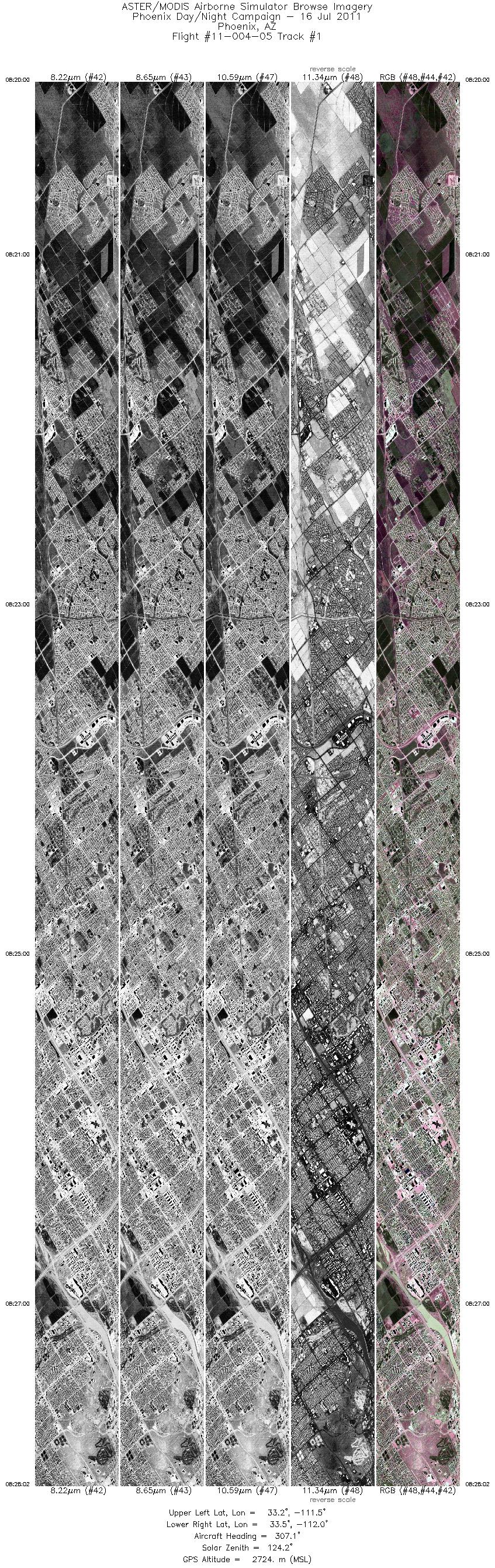
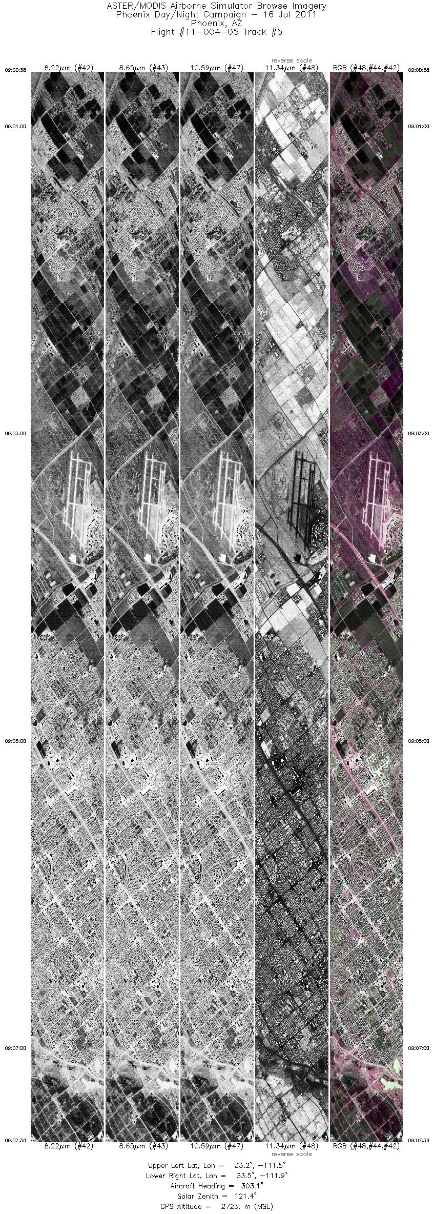
| 1 |
08:20 - 08:28 |
305.2 |
33.170 - 33.474 |
111.543 - 111.964 |
12022 |
2723 |
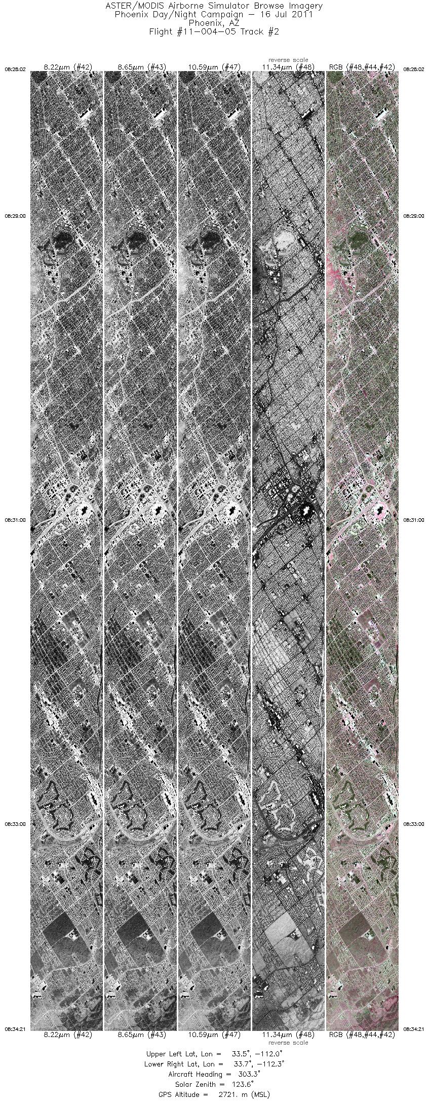
| 2 |
08:28 - 08:34 |
303.4 |
33.474 - 33.711 |
111.964 - 112.298 |
9456 |
2721 |
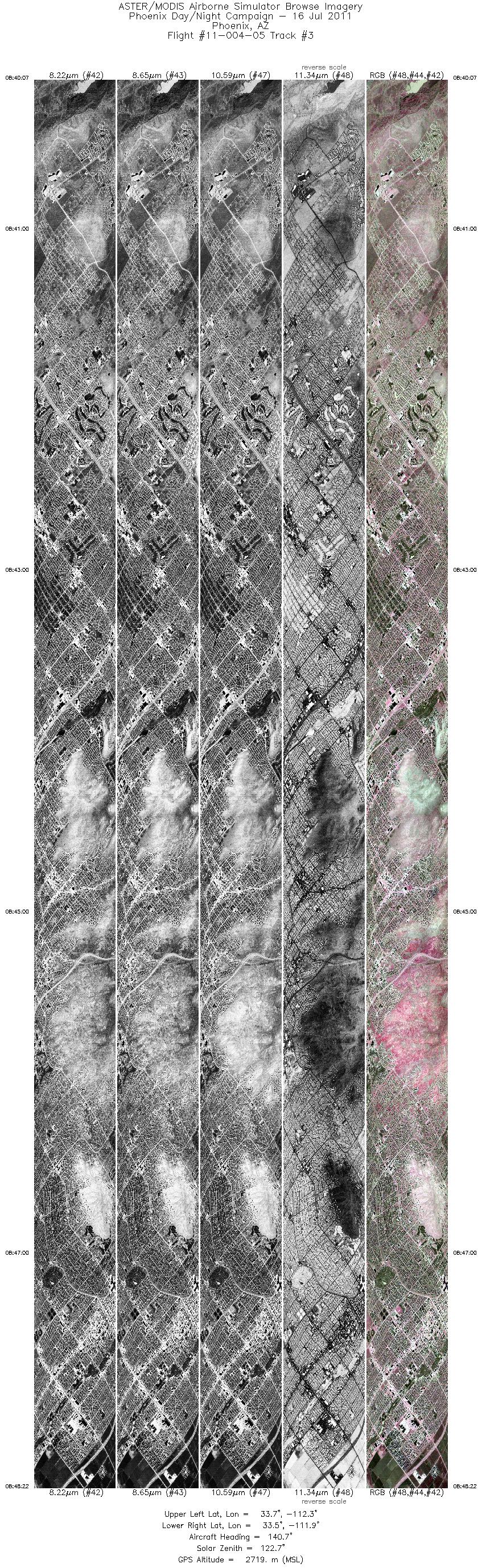
| 3 |
08:40 - 08:48 |
138.6 |
33.739 - 33.448 |
112.294 - 111.886 |
12366 |
2720 |
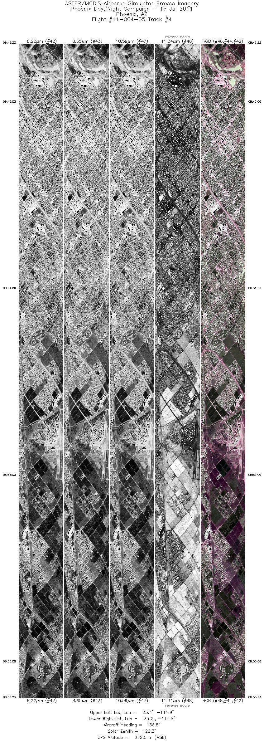
| 4 |
08:48 - 08:55 |
136.1 |
33.448 - 33.200 |
111.886 - 111.541 |
10491 |
2720 |
| 5 |
09:00 - 09:07 |
303.3 |
33.204 - 33.471 |
111.505 - 111.876 |
10443 |
2726 |
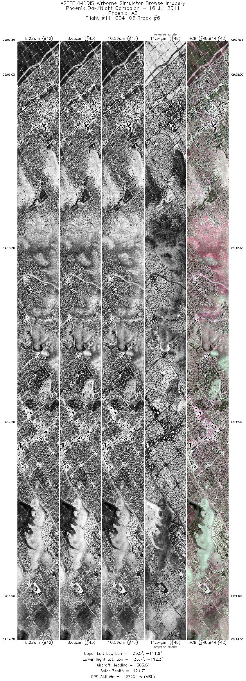
| 6 |
09:07 - 09:14 |
303.9 |
33.471 - 33.731 |
111.876 - 112.241 |
10312 |
2721 |
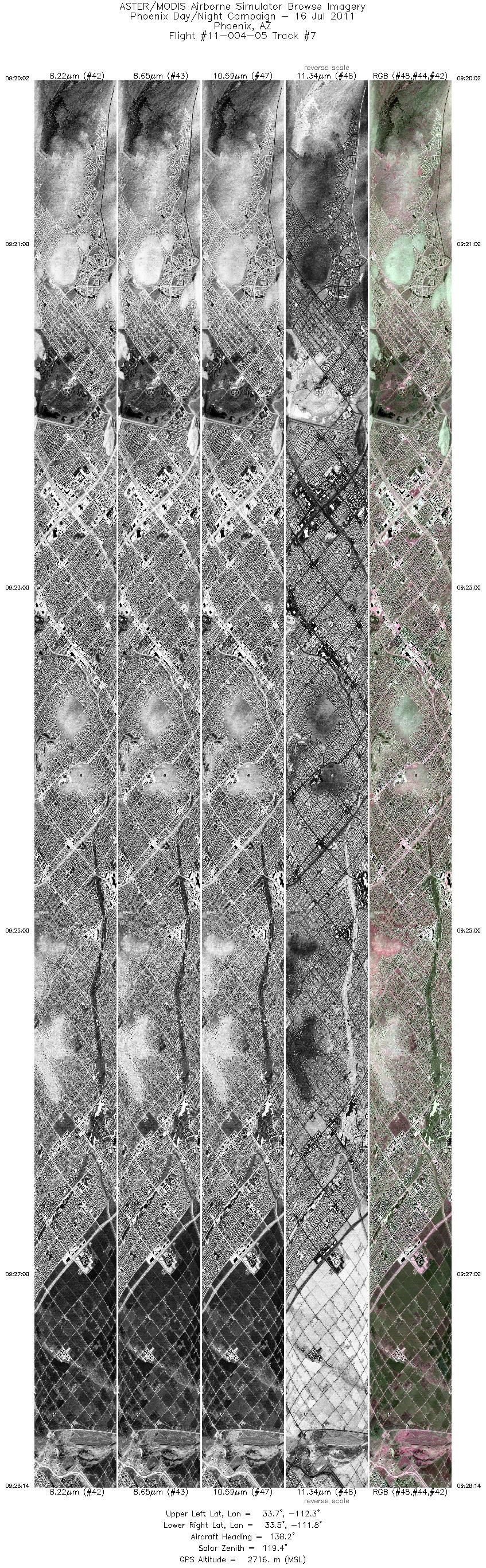
| 7 |
09:20 - 09:28 |
137.1 |
33.759 - 33.461 |
112.237 - 111.819 |
12274 |
2717 |
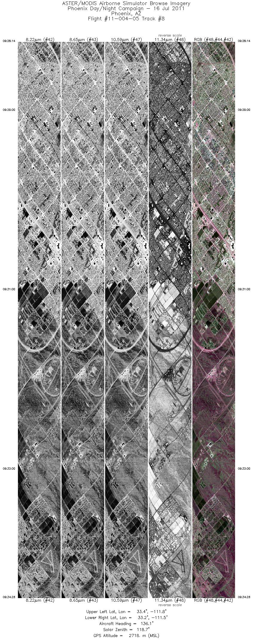
| 8 |
09:28 - 09:34 |
135.4 |
33.461 - 33.235 |
111.818 - 111.504 |
9289 |
2718 |
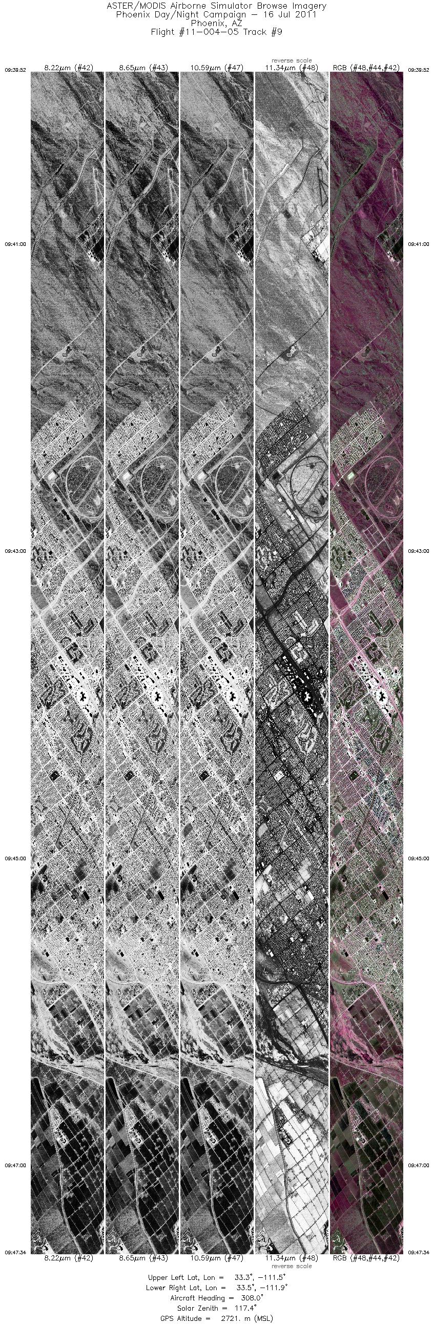
| 9 |
09:39 - 09:47 |
306.0 |
33.240 - 33.534 |
111.470 - 111.879 |
11544 |
2724 |
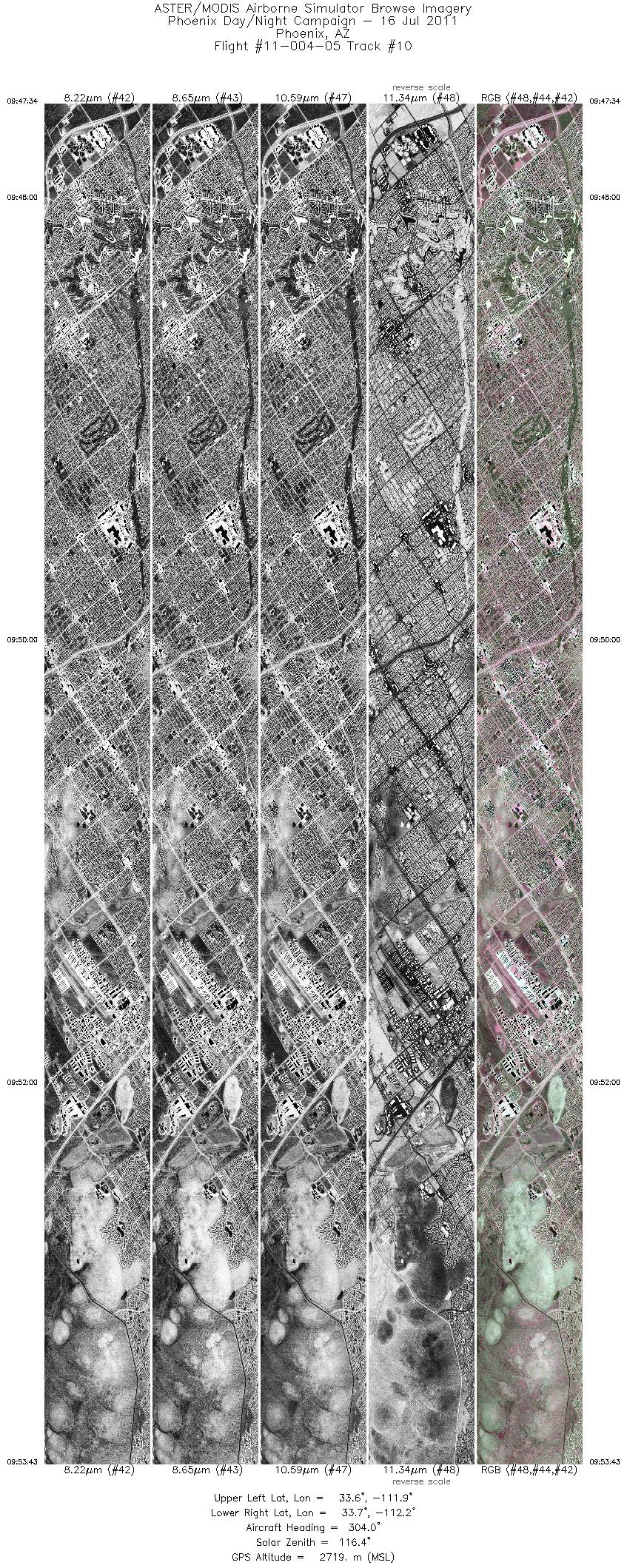
| 10 |
09:47 - 09:53 |
303.8 |
33.534 - 33.766 |
111.879 - 112.204 |
9196 |
2719 |
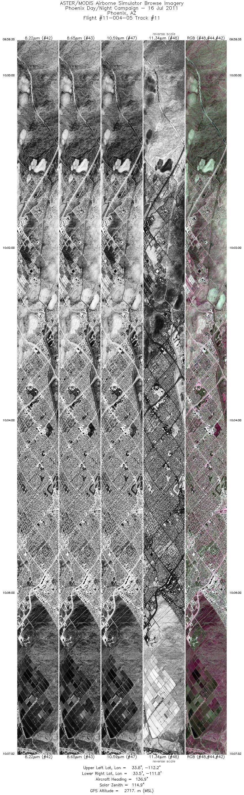
| 11 |
09:59 - 10:07 |
136.5 |
33.798 - 33.502 |
112.206 - 111.789 |
12407 |
2717 |
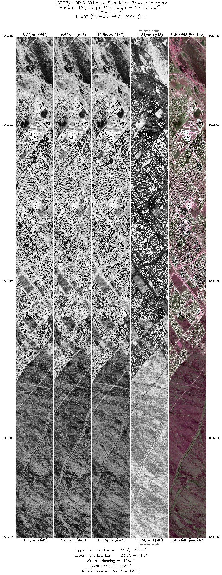
| 12 |
10:07 - 10:14 |
135.7 |
33.502 - 33.271 |
111.789 - 111.468 |
9571 |
2719 |
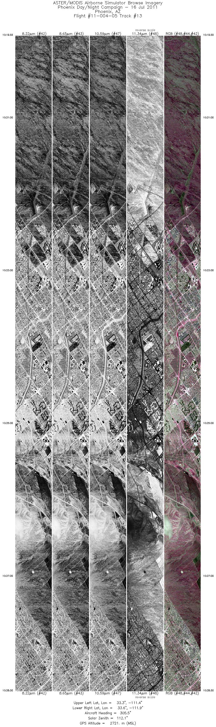
| 13 |
10:19 - 10:28 |
304.6 |
33.279 - 33.605 |
111.436 - 111.890 |
12850 |
2723 |
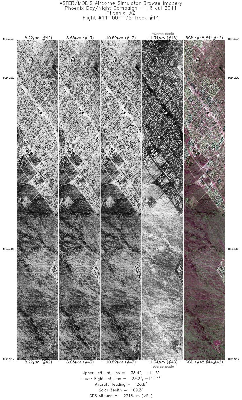
| 14 |
10:39 - 10:43 |
136.2 |
33.443 - 33.306 |
111.620 - 111.430 |
5594 |
2718 |
|


