Flight: 11-003-06
Date: June 30, 2011
Aircraft: NASA DC-8, #817
Deployment: SARP 2011
Flight Location: Santa Barbara / Central Valley, CA
Principal Investigator: Kudela (UCSC), Ustin (UCD)
Additional Sensors: DCS / WAS
|
Data Evaluation
Overall data quality is good.
|
Processing Information
Level-1B Data in HDF format is available
Flight Line Summary
Spectral Band Configuration
Spectral Response Function Table
Spectral Response Function (text)
|
Browse Imagery
Flight Tracks: 12
Scanlines: 72933
|
Browse Imagery Table
|
Click a Flight Track number to view a quicklook image
Lat/Lon ranges are for the BEG-END scanline nadir pixels
|
Flight
Track |
Time Span
(UTC) |
Heading
(Deg) |
Lat Range
(Deg N) |
Lon Range
(Deg W) |
Length
(Scanlines) |
Altitude
(Meters) |
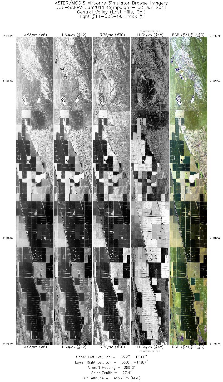
| 1 |
21:55 - 21:59 |
358.5 |
35.326 - 35.620 |
119.666 - 119.670 |
5843 |
4127 |
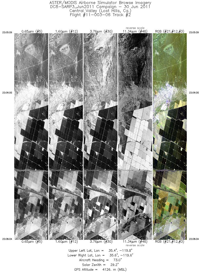
| 2 |
22:05 - 22:08 |
71.4 |
35.458 - 35.533 |
119.824 - 119.560 |
4356 |
4122 |
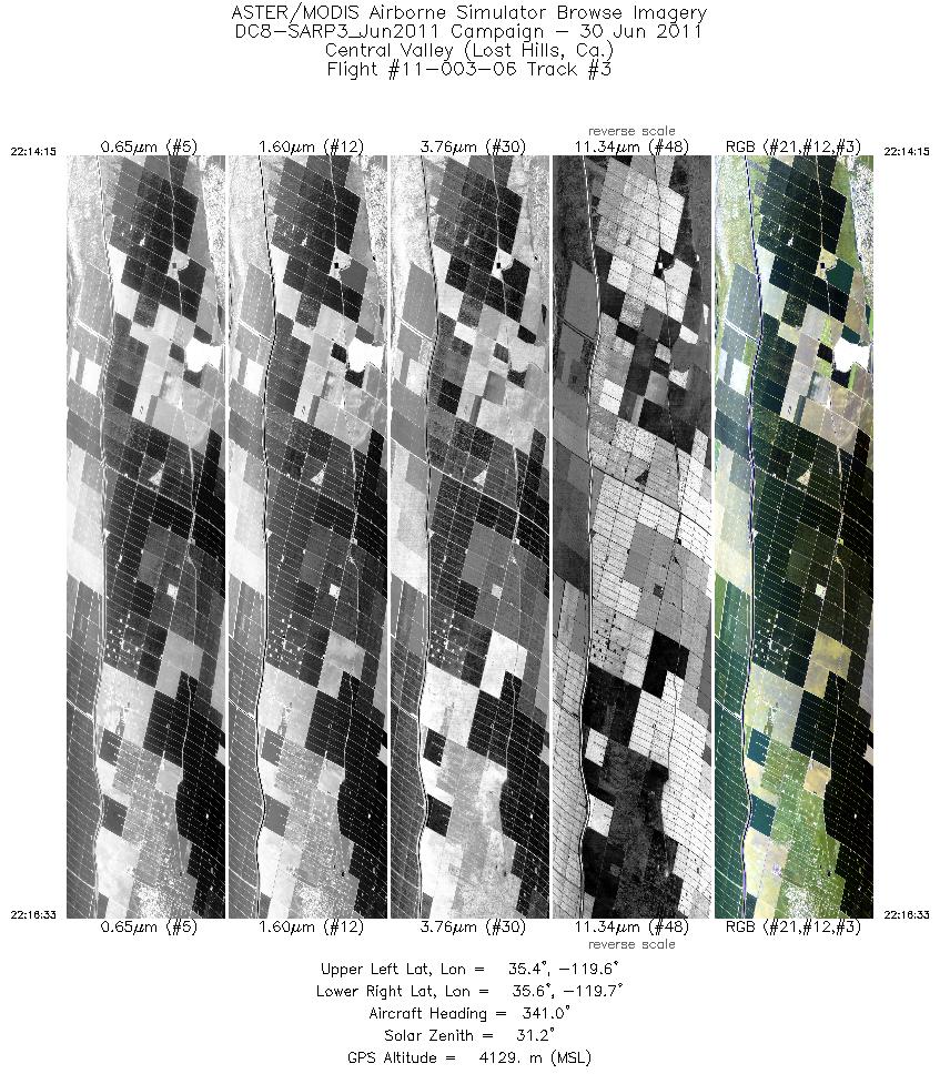
| 3 |
22:14 - 22:16 |
341.4 |
35.423 - 35.593 |
119.633 - 119.706 |
3441 |
4127 |
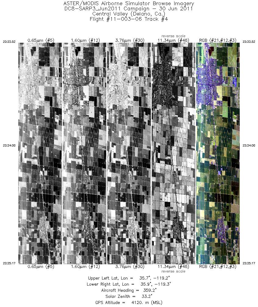
| 4 |
22:22 - 22:25 |
359.1 |
35.742 - 35.913 |
119.260 - 119.264 |
3632 |
4122 |
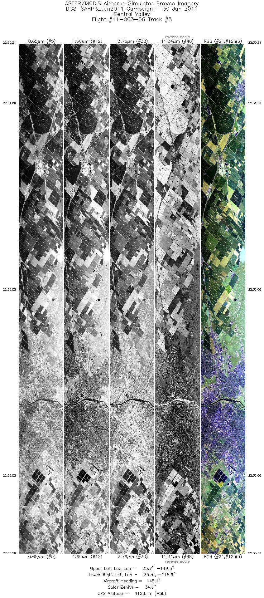
| 5 |
22:30 - 22:35 |
142.6 |
35.702 - 35.273 |
119.290 - 118.902 |
8183 |
4128 |
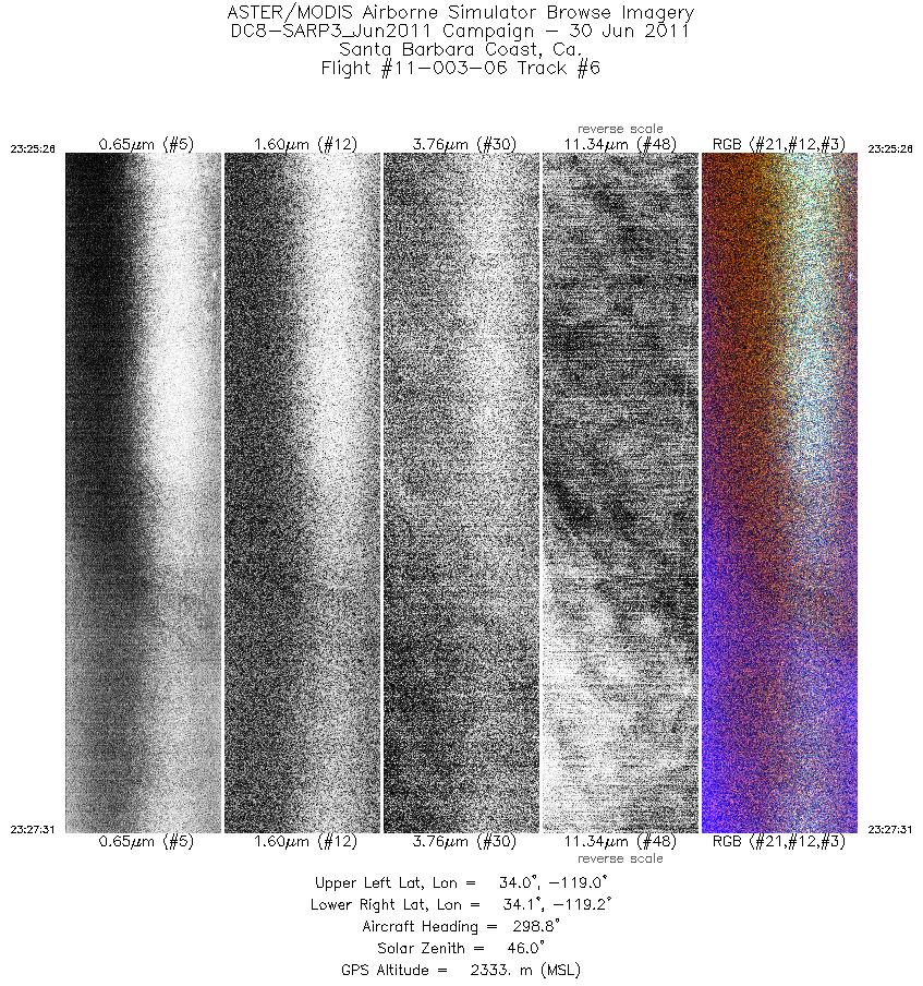
| 6 |
23:25 - 23:27 |
298.4 |
34.010 - 34.085 |
119.007 - 119.183 |
3120 |
2220 |
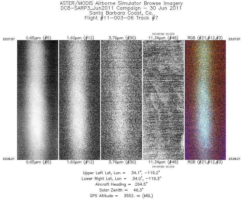
| 7 |
23:27 - 23:29 |
265.7 |
34.090 - 34.080 |
119.224 - 119.347 |
2093 |
3473 |
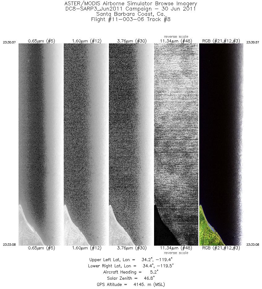
| 8 |
23:30 - 23:33 |
5.3 |
34.166 - 34.352 |
119.440 - 119.423 |
3266 |
4138 |
| 9 |
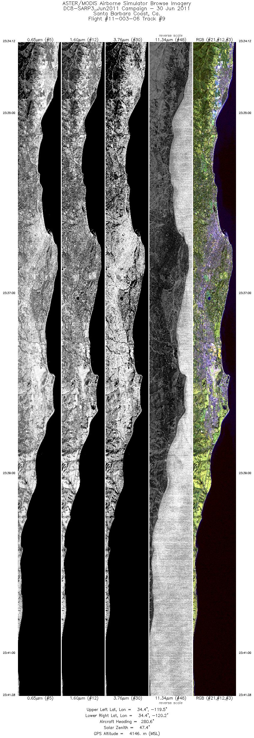
23:34 - 23:41 |
278.0 |
34.410 - 34.438 |
119.477 - 120.185 |
10876 |
4141 |
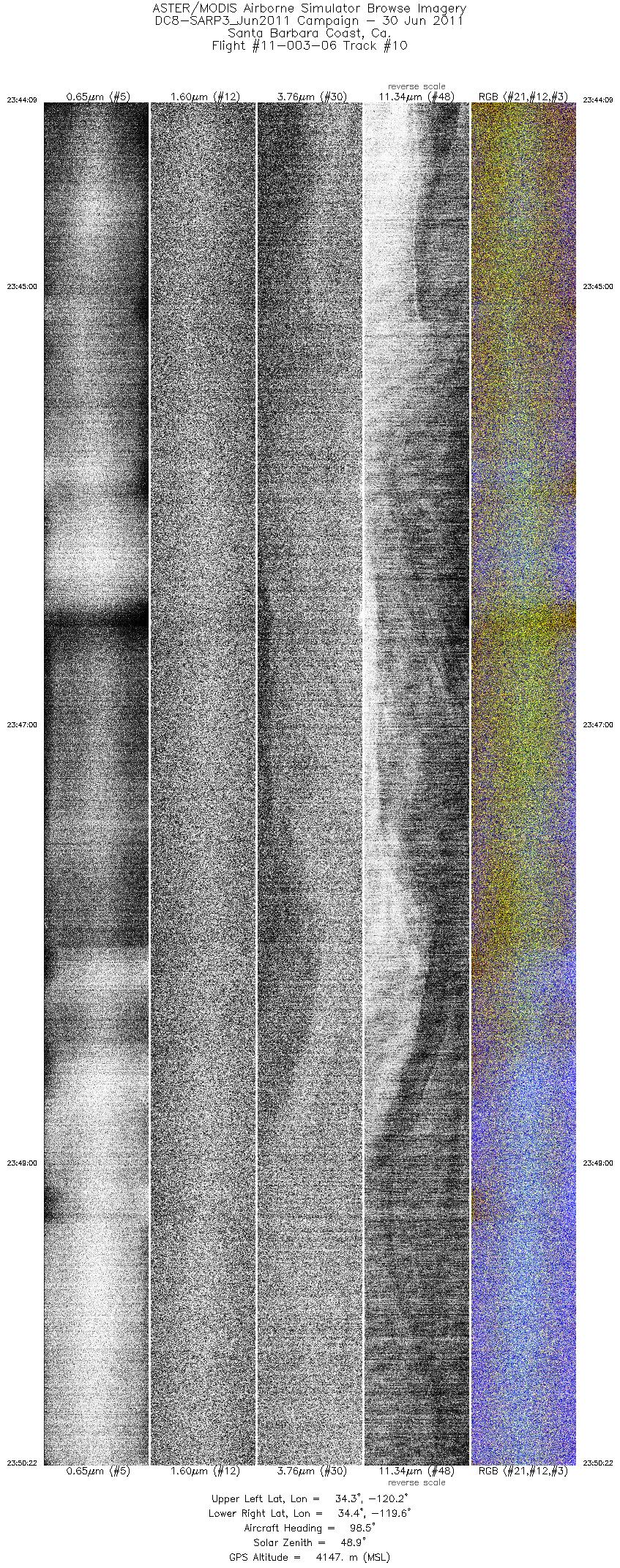
| 10 |
23:44 - 23:50 |
96.5 |
34.339 - 34.320 |
120.163 - 119.571 |
9315 |
4144 |
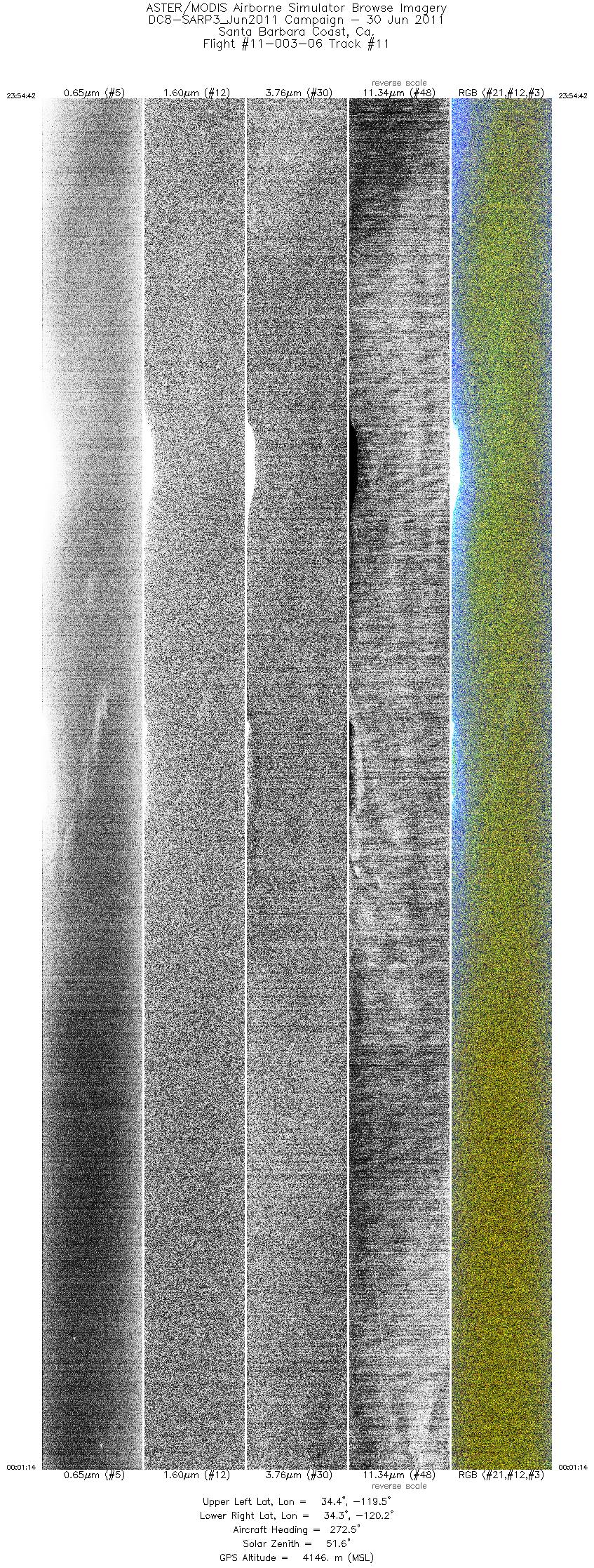
| 11 |
23:54 - 00:01 |
273.9 |
34.365 - 34.382 |
119.547 - 120.177 |
9773 |
4144 |
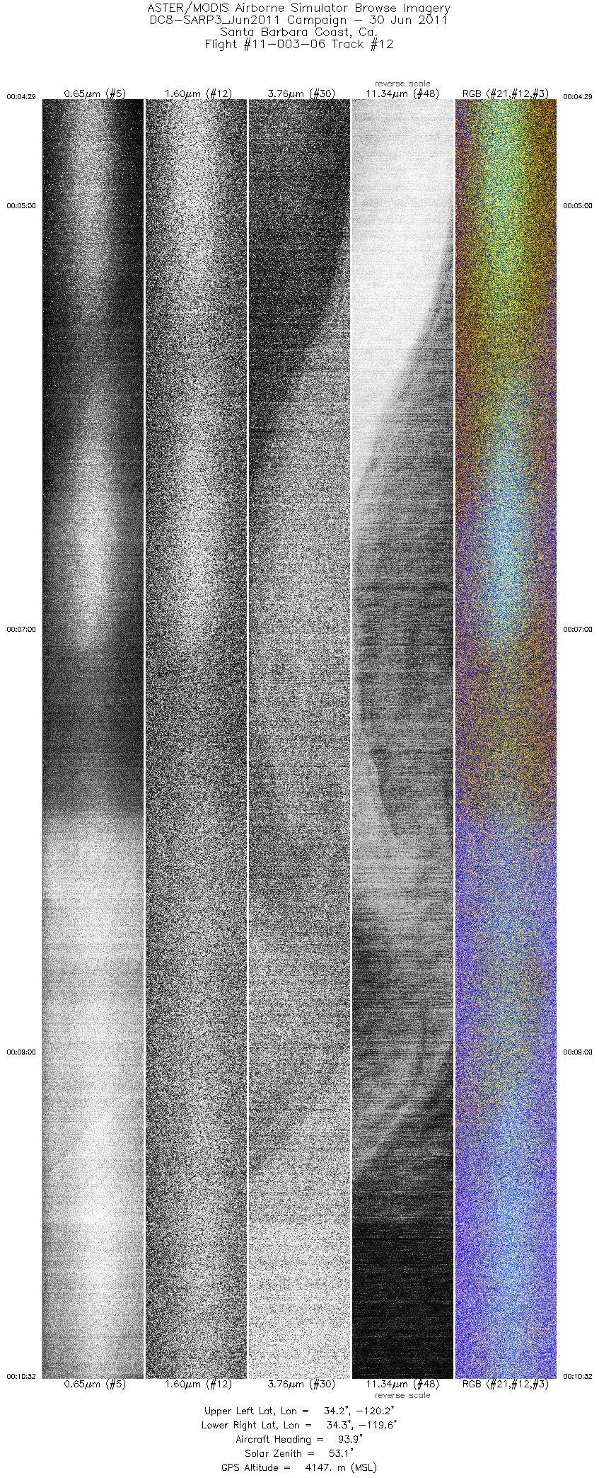
| 12 |
00:04 - 00:10 |
93.2 |
34.243 - 34.221 |
120.205 - 119.574 |
9035 |
4145 |
|


