Flight: 10-942-00
Date: August 28, 2010
Aircraft: NASA ER-2 #809
Deployment: Houston 2010
Flight Location: Texas / Louisiana / Florida / Gulf of Mexico
Principal Investigator: NASA Headquarters
Additional Sensors: AVIRIS / DCS
|
Data Evaluation
Overall data quality is good.
|
Processing Information
Level-1B Data in HDF format is available
Flight Line Summary
Spectral Band Configuration
Spectral Response Function Table
Spectral Response Function (text)
|
Browse Imagery
Flight Tracks: 15
Scanlines: 69166
|
Browse Imagery Table
|
Click a Flight Track number to view a quicklook image
Lat/Lon ranges are for the BEG-END scanline nadir pixels
|
Flight
Track |
Time Span
(UTC) |
Heading
(Deg) |
Lat Range
(Deg N) |
Lon Range
(Deg W) |
Length
(Scanlines) |
Altitude
(Meters) |
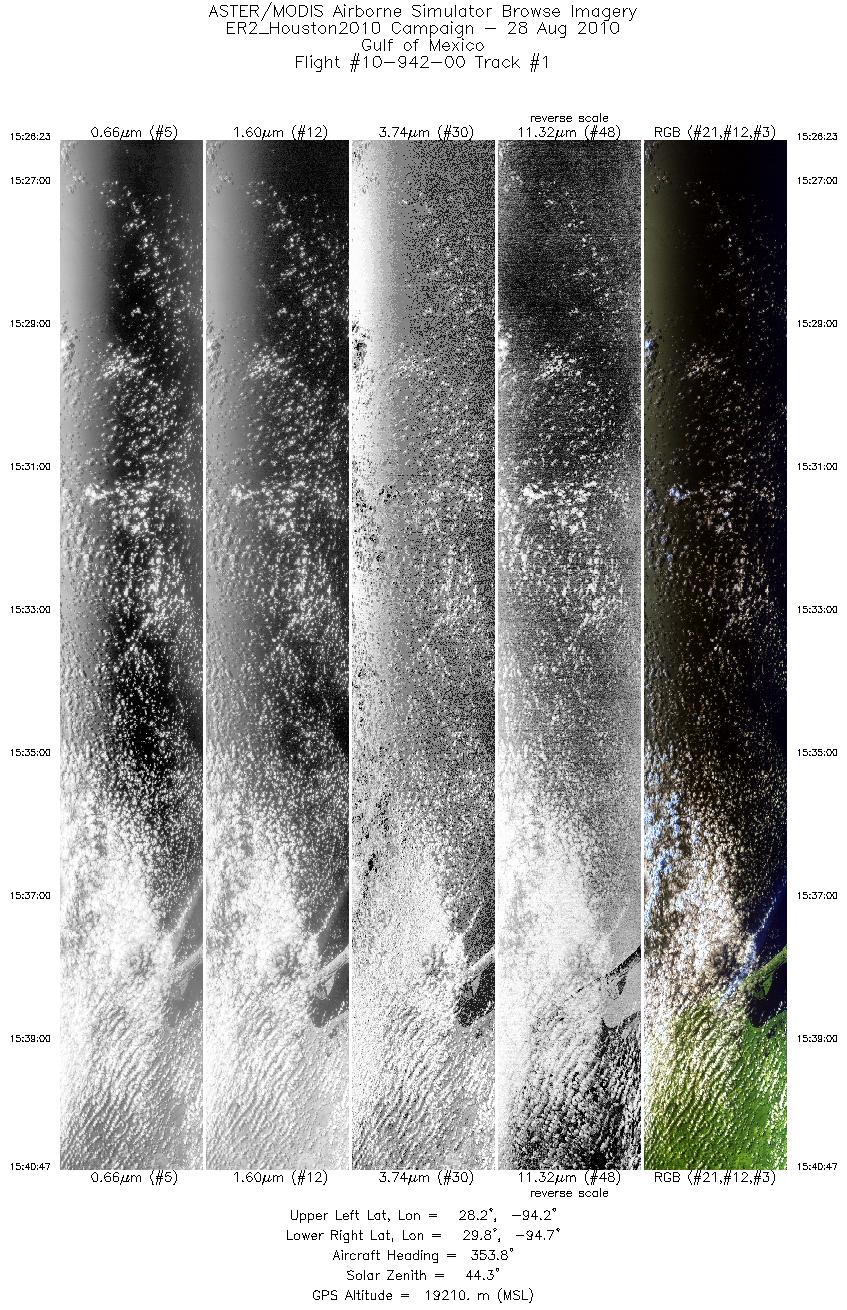
| 1 |
15:26 - 15:40 |
357.5 |
28.213 - 29.798 |
94.379 - 94.475 |
5154 |
19063 |
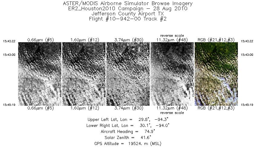
| 2 |
15:42 - 15:45 |
83.3 |
29.930 - 29.952 |
94.378 - 94.022 |
1056 |
19557 |
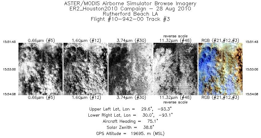
| 3 |
15:51 - 15:54 |
72.8 |
29.719 - 29.809 |
93.320 - 93.045 |
859 |
19710 |
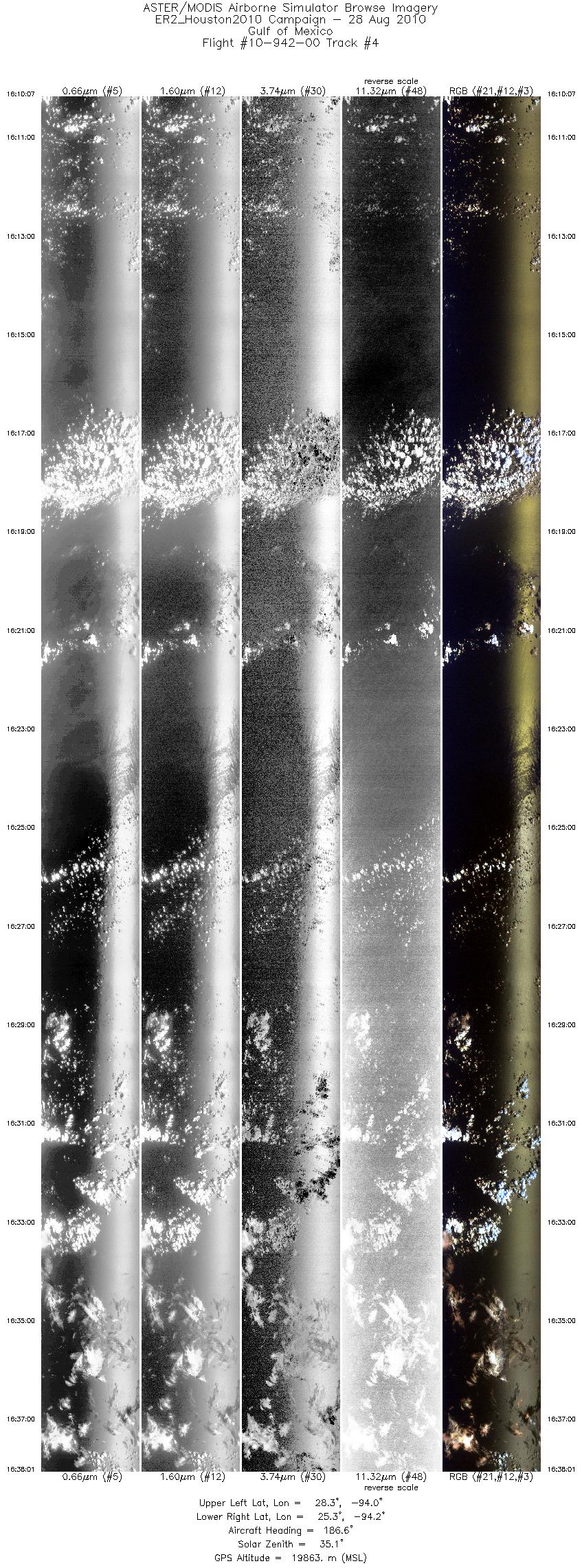
| 4 |
16:10 - 16:38 |
187.2 |
28.330 - 25.303 |
93.774 - 94.386 |
9999 |
19822 |
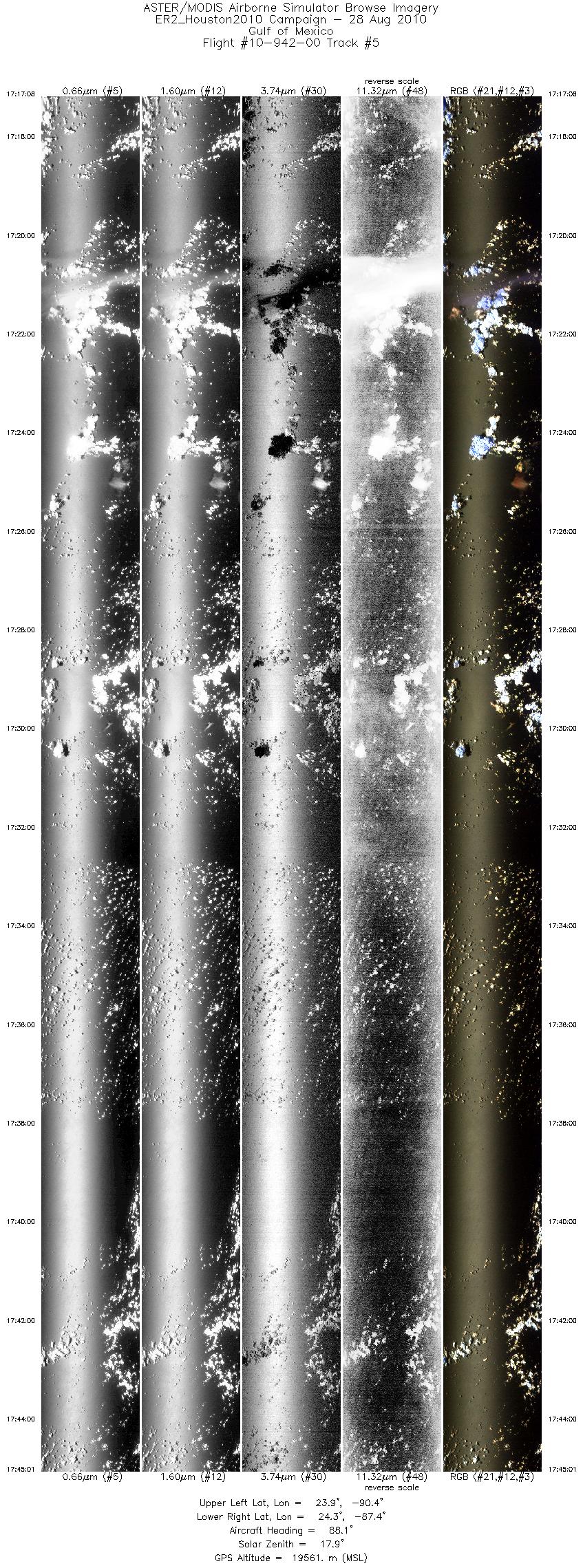
| 5 |
17:17 - 17:45 |
87.1 |
24.028 - 24.182 |
90.431 - 87.343 |
9999 |
19626 |
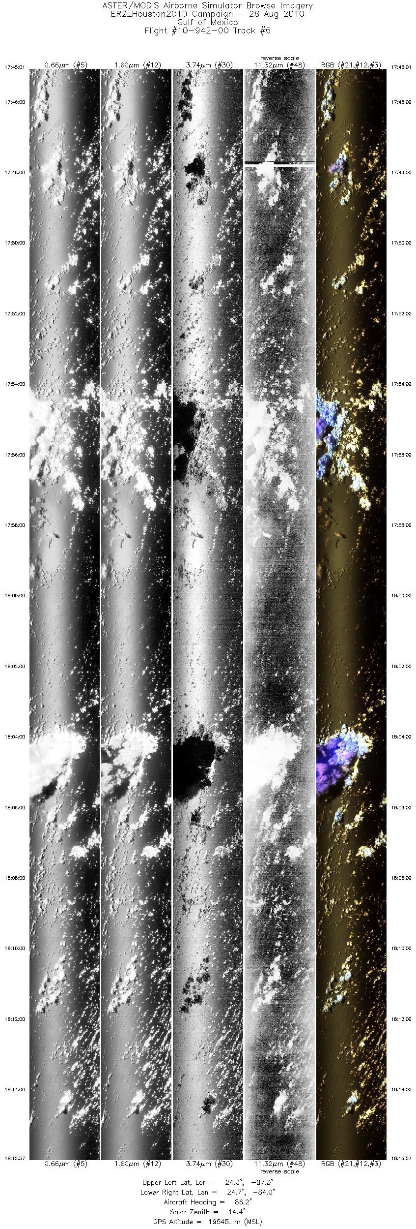
| 6 |
17:45 - 18:15 |
84.5 |
24.182 - 24.505 |
87.343 - 84.011 |
11091 |
19543 |
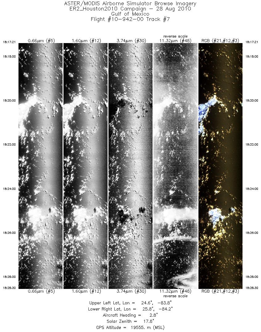
| 7 |
18:17 - 18:28 |
3.0 |
24.609 - 25.828 |
83.926 - 84.021 |
3996 |
19561 |
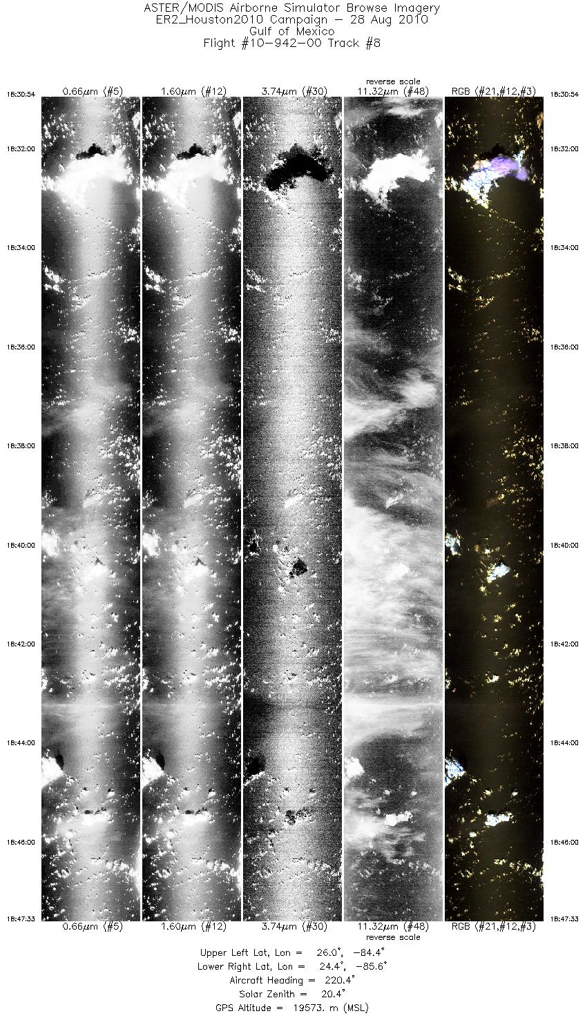
| 8 |
18:30 - 18:47 |
221.4 |
25.899 - 24.548 |
84.254 - 85.787 |
5971 |
19558 |
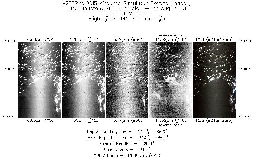
| 9 |
18:47 - 18:51 |
229.4 |
24.538 - 24.283 |
85.800 - 86.165 |
1278 |
19577 |
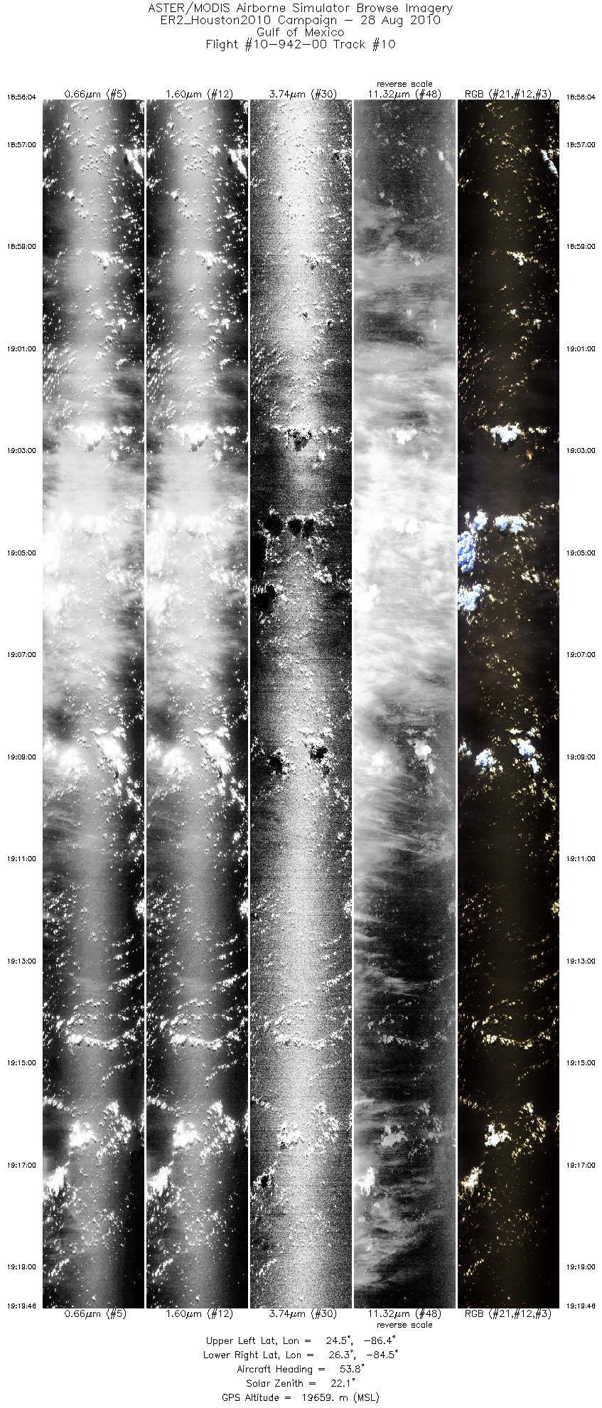
| 10 |
18:56 - 19:19 |
52.8 |
24.598 - 26.131 |
86.490 - 84.417 |
8500 |
19632 |
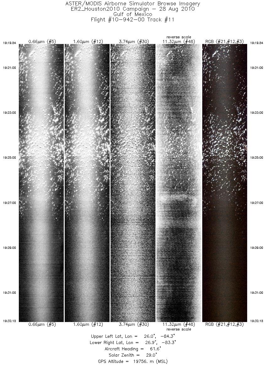
| 11 |
19:19 - 19:32 |
62.5 |
26.139 - 26.772 |
84.405 - 83.196 |
4429 |
19760 |
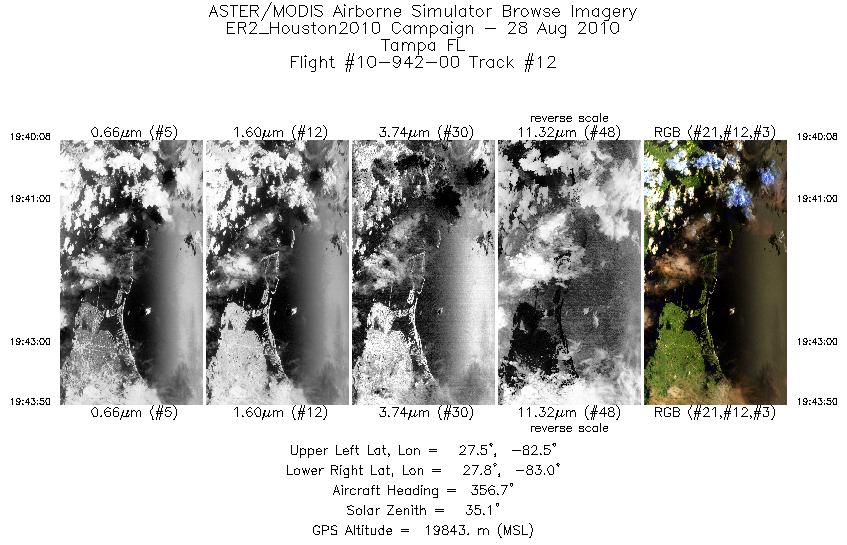
| 12 |
19:40 - 19:43 |
355.0 |
27.444 - 27.847 |
82.692 - 82.792 |
1328 |
19855 |
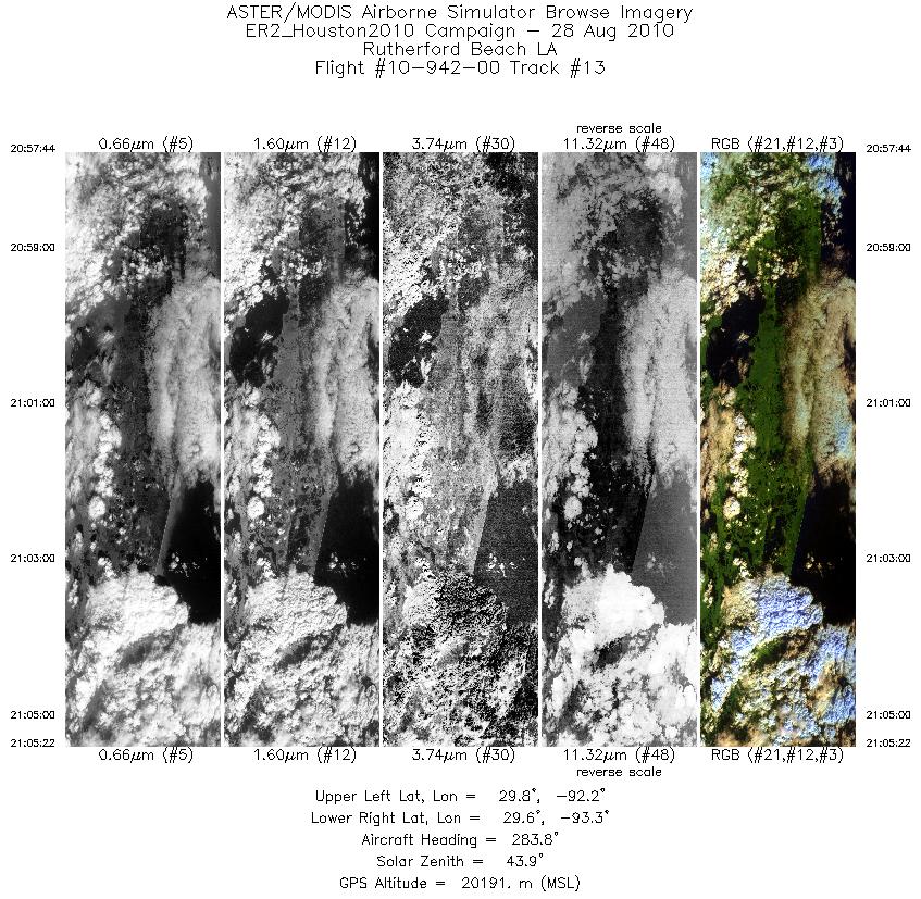
| 13 |
20:57 - 21:05 |
282.4 |
29.598 - 29.776 |
92.253 - 93.231 |
2738 |
20234 |
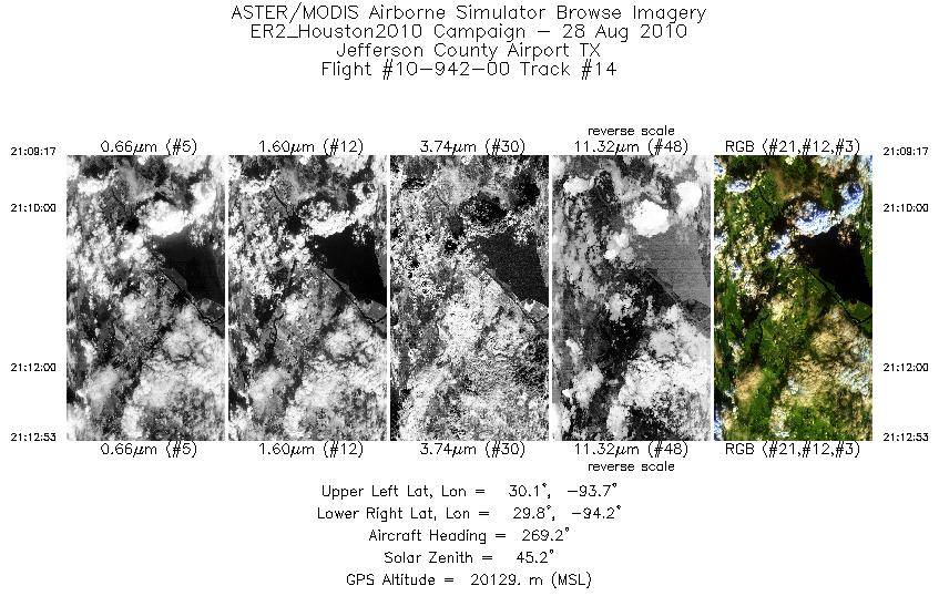
| 14 |
21:09 - 21:12 |
269.9 |
29.963 - 29.953 |
93.686 - 94.162 |
1293 |
20134 |
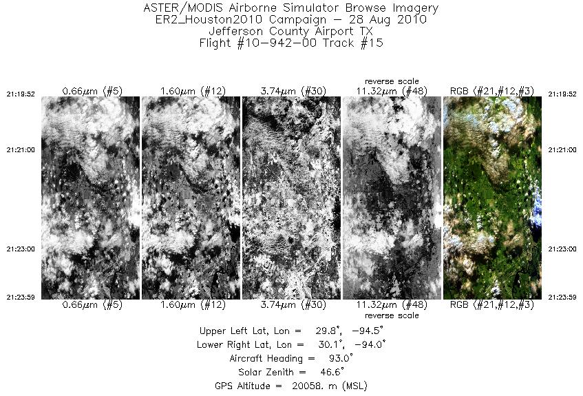
| 15 |
21:19 - 21:23 |
91.9 |
29.949 - 29.953 |
94.452 - 93.962 |
1475 |
20049 |
|


