


FLIGHT SUMMARY INFORMATION
Flight Track Map


|
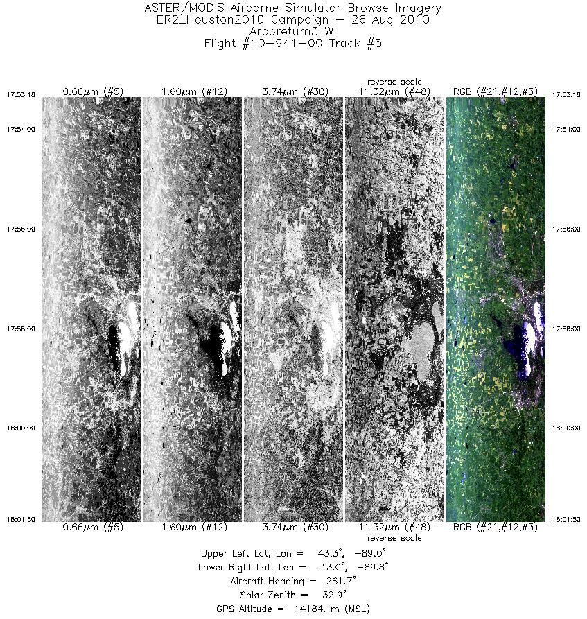
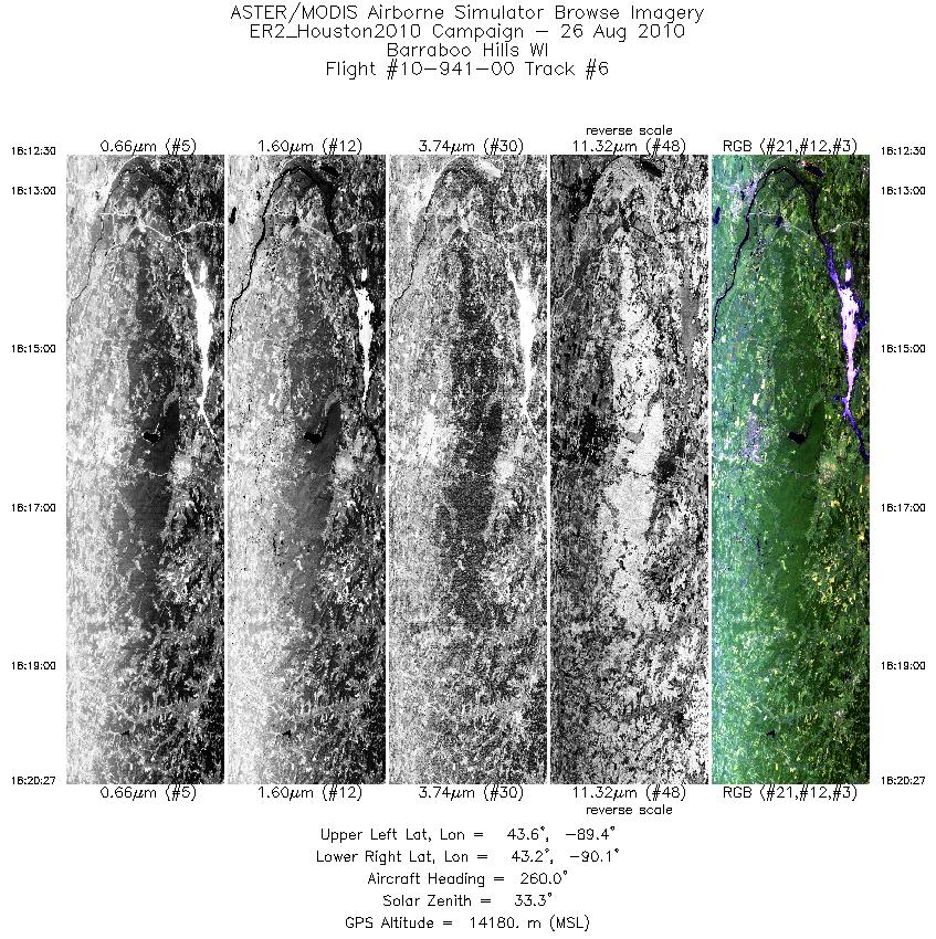
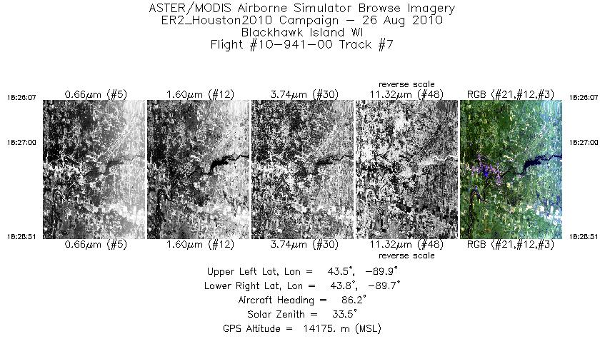
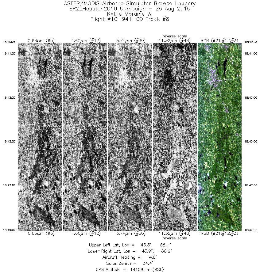
Flight: 10-941-00 Date: August 26, 2010 Aircraft: NASA ER-2 #809 Deployment: Houston 2010 Flight Location: Midwestern USA / Wisconsin Principal Investigator: Townsend Additional Sensors: AVIRIS / DCS |
|||||||||||||||||||||||||||||||||||||||||||||||||||||||||||||||||||||||||||||||||||||||||||||||||||||||||
|
Data Evaluation Overall data quality is good. |
|||||||||||||||||||||||||||||||||||||||||||||||||||||||||||||||||||||||||||||||||||||||||||||||||||||||||
|
Processing Information Level-1B Data in HDF format is available Flight Line Summary Spectral Band Configuration Spectral Response Function Table Spectral Response Function (text) |
|||||||||||||||||||||||||||||||||||||||||||||||||||||||||||||||||||||||||||||||||||||||||||||||||||||||||
|
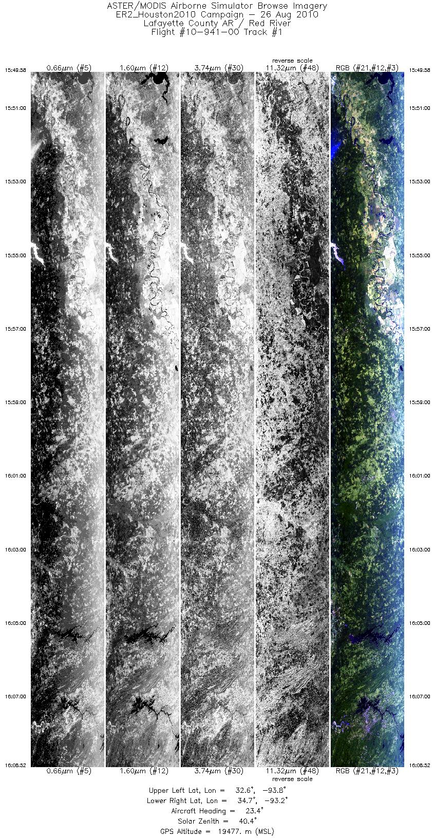
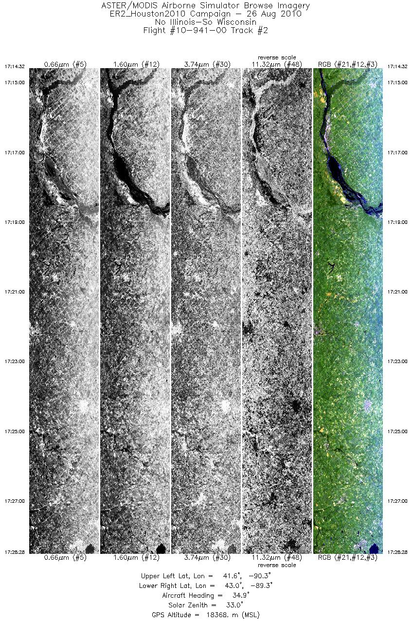
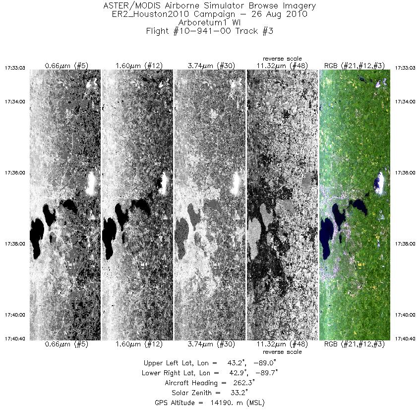
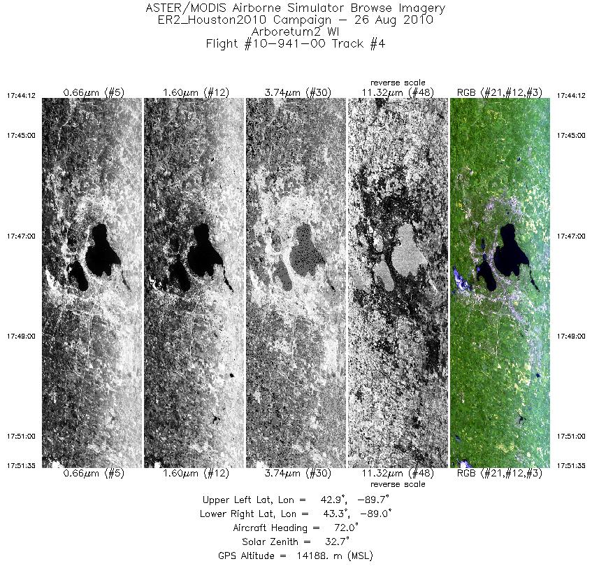
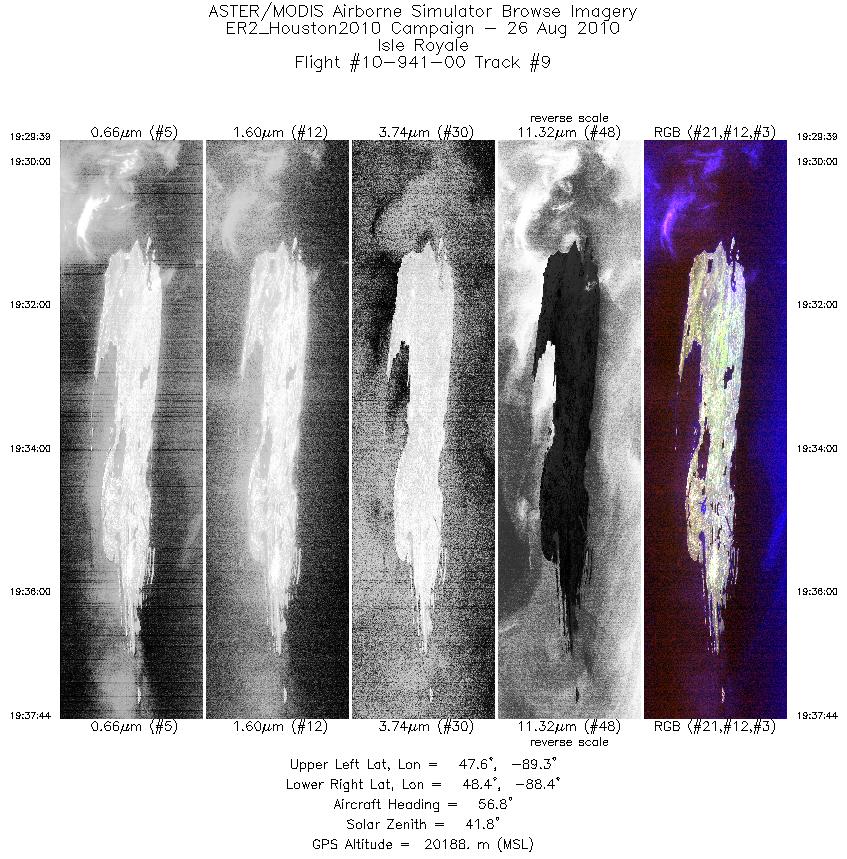
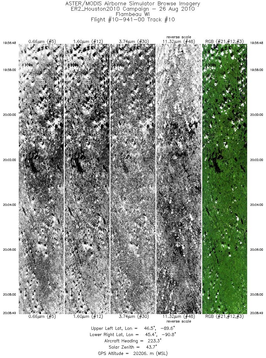
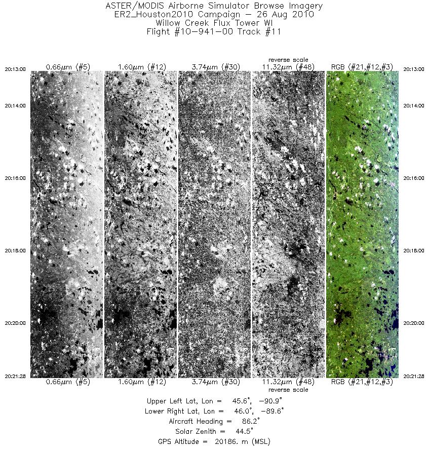
Browse Imagery Flight Tracks: 11 Scanlines: 37351 |
|||||||||||||||||||||||||||||||||||||||||||||||||||||||||||||||||||||||||||||||||||||||||||||||||||||||||
|
|||||||||||||||||||||||||||||||||||||||||||||||||||||||||||||||||||||||||||||||||||||||||||||||||||||||||


