Flight: 10-937-00
Date: July 31, 2010
Aircraft: NASA ER-2 #809
Deployment: Houston 2010
Flight Location: California to Texas / Louisiana / Gulf of Mexico
Principal Investigator: NASA Headquarters
Additional Sensors: AVIRIS / DCS
|
Data Evaluation
Overall data quality is good.
|
Processing Information
Level-1B Data in HDF format is available
Flight Line Summary
Spectral Band Configuration
Spectral Response Function Table
Spectral Response Function (text)
|
Browse Imagery
Flight Tracks: 26
Scanlines: 121595
|
Browse Imagery Table
|
Click a Flight Track number to view a quicklook image
Lat/Lon ranges are for the BEG-END scanline nadir pixels
|
Flight
Track |
Time Span
(UTC) |
Heading
(Deg) |
Lat Range
(Deg N) |
Lon Range
(Deg W) |
Length
(Scanlines) |
Altitude
(Meters) |
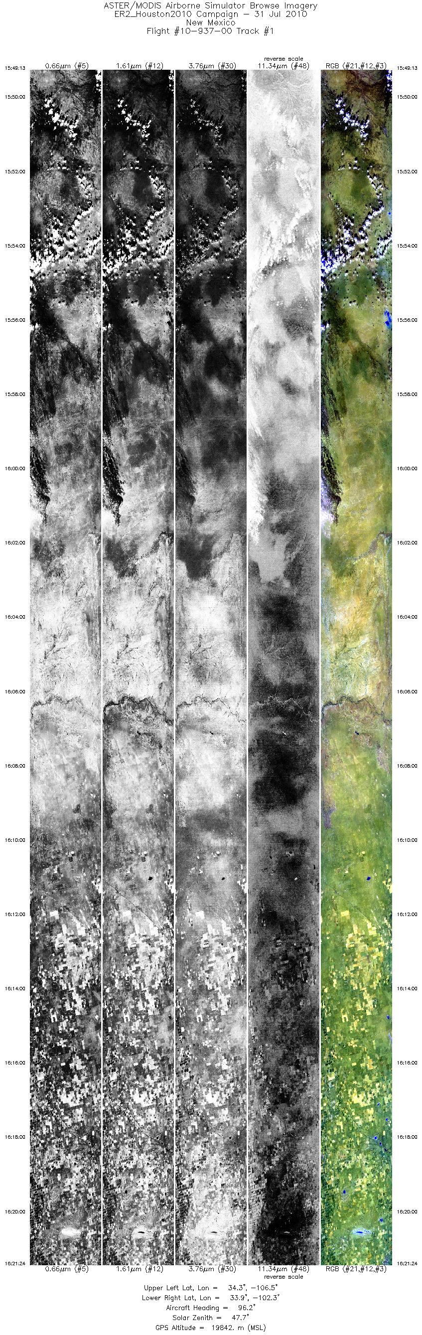
| 1 |
15:49 - 16:21 |
98.2 |
34.425 - 33.797 |
106.465 - 102.345 |
12000 |
19743 |
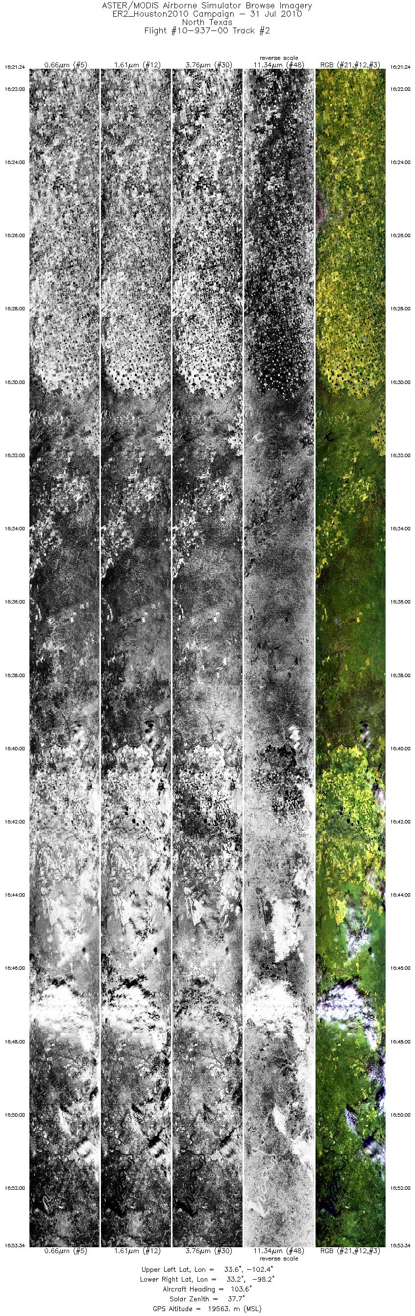
| 2 |
16:21 - 16:53 |
103.5 |
33.797 - 33.003 |
102.345 - 98.271 |
12000 |
19493 |
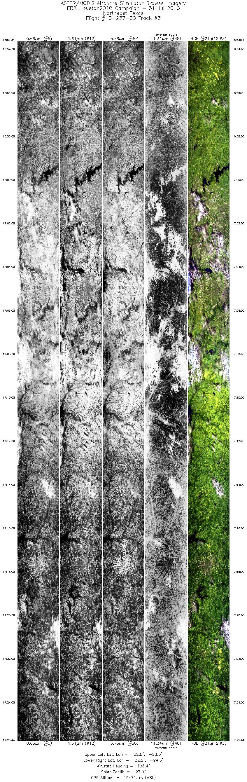
| 3 |
16:53 - 17:25 |
103.1 |
33.003 - 32.066 |
98.271 - 94.306 |
12000 |
19565 |
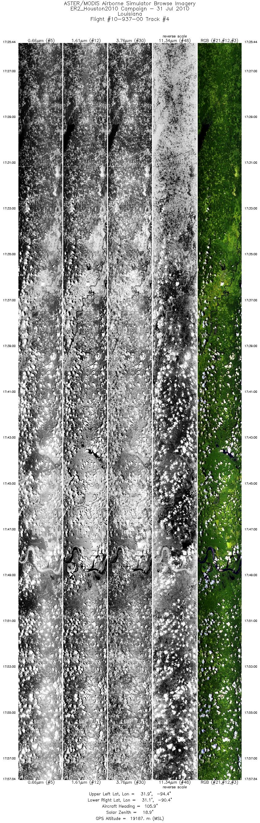
| 4 |
17:25 - 17:57 |
104.3 |
32.066 - 30.975 |
94.306 - 90.396 |
12000 |
19330 |
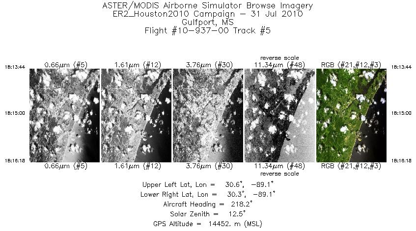
| 5 |
18:13 - 18:16 |
221.3 |
30.480 - 30.334 |
88.983 - 89.156 |
957 |
14454 |
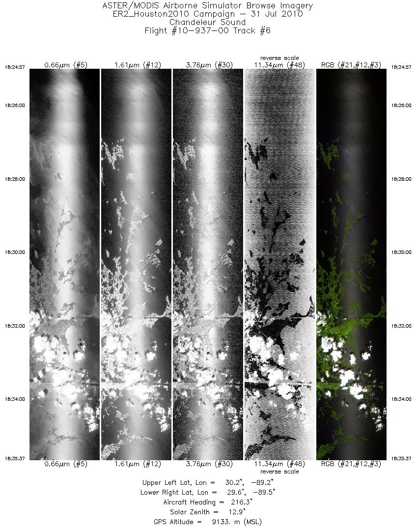
| 6 |
18:24 - 18:35 |
216.7 |
30.133 - 29.622 |
89.079 - 89.555 |
3987 |
9281 |
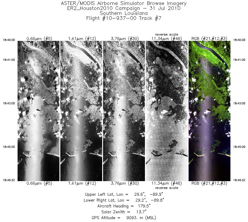
| 7 |
18:40 - 18:46 |
179.1 |
29.622 - 29.233 |
89.845 - 89.844 |
2403 |
9083 |
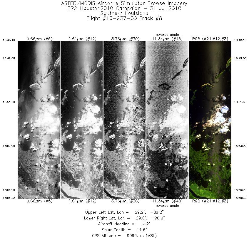
| 8 |
18:48 - 18:55 |
2.5 |
29.194 - 29.610 |
89.891 - 89.892 |
2686 |
9113 |
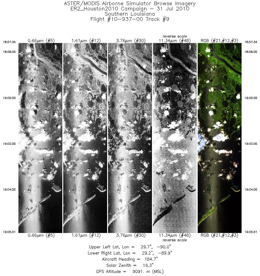
| 9 |
18:57 - 19:05 |
181.7 |
29.678 - 29.198 |
89.938 - 89.940 |
3092 |
9089 |
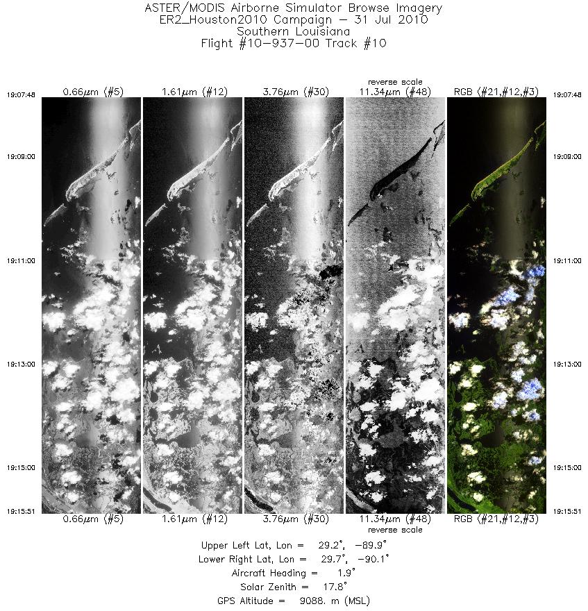
| 10 |
19:07 - 19:15 |
3.2 |
29.153 - 29.654 |
89.984 - 89.987 |
3002 |
9098 |
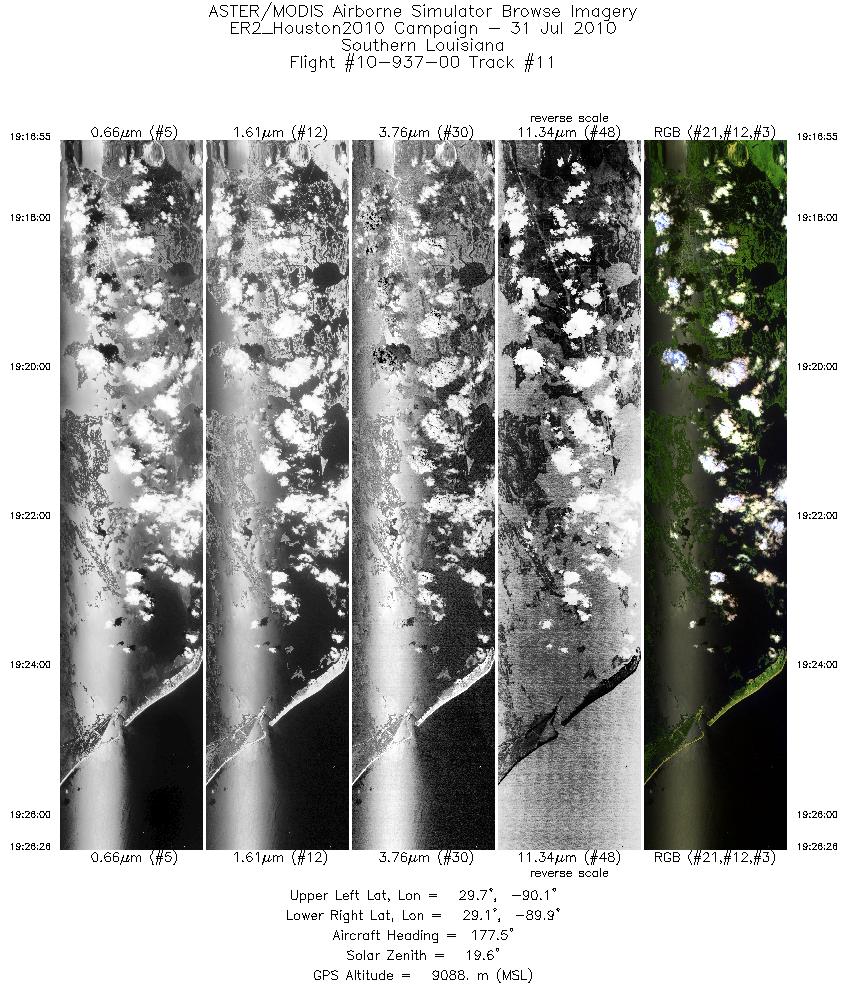
| 11 |
19:16 - 19:26 |
176.6 |
29.661 - 29.095 |
90.035 - 90.036 |
3552 |
9096 |
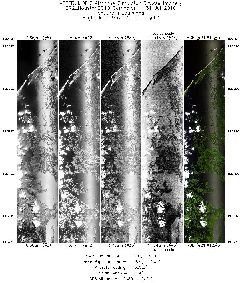
| 12 |
19:27 - 19:37 |
359.5 |
29.097 - 29.649 |
90.085 - 90.082 |
3568 |
9103 |
| 13 |
19:38 - 19:48 |
177.2 |
29.657 - 29.012 |
90.127 - 90.131 |
3922 |
9087 |
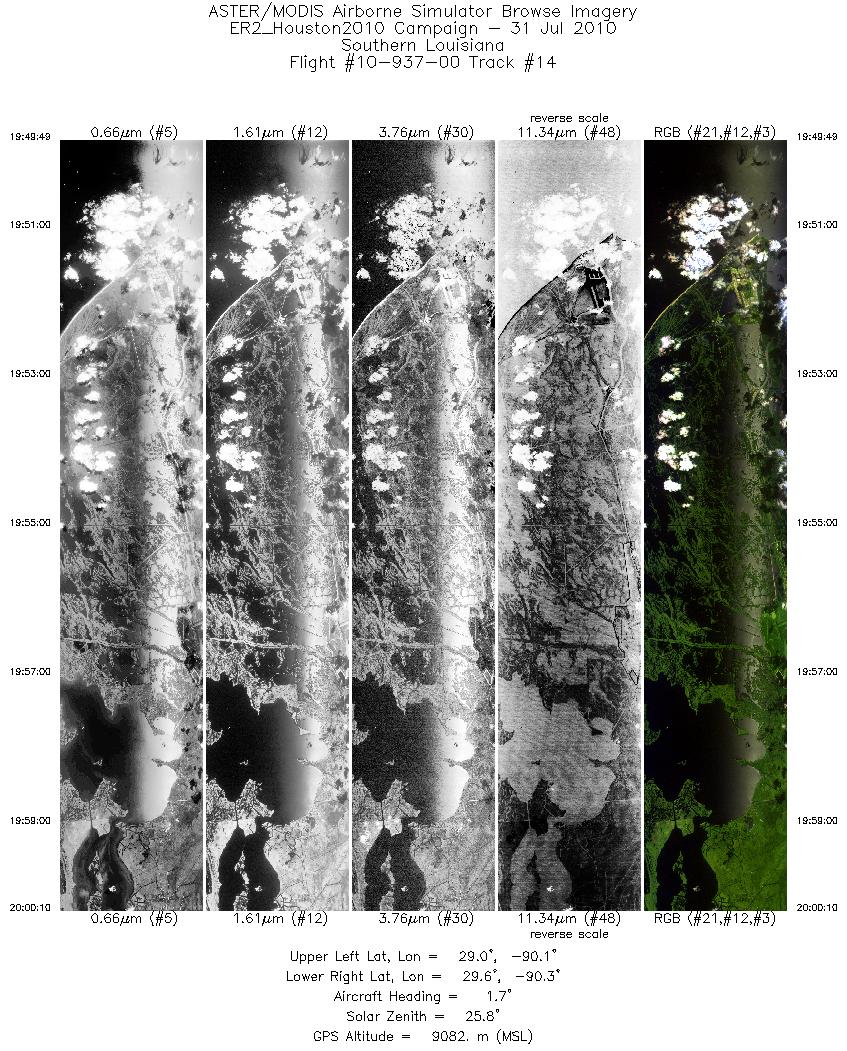
| 14 |
19:49 - 20:00 |
1.5 |
29.011 - 29.647 |
90.179 - 90.178 |
3857 |
9086 |
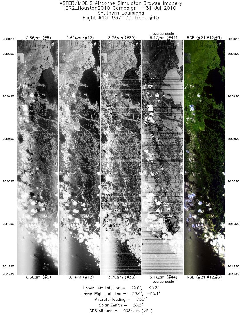
| 15 |
20:01 - 20:12 |
174.7 |
29.648 - 28.988 |
90.227 - 90.228 |
4122 |
9096 |
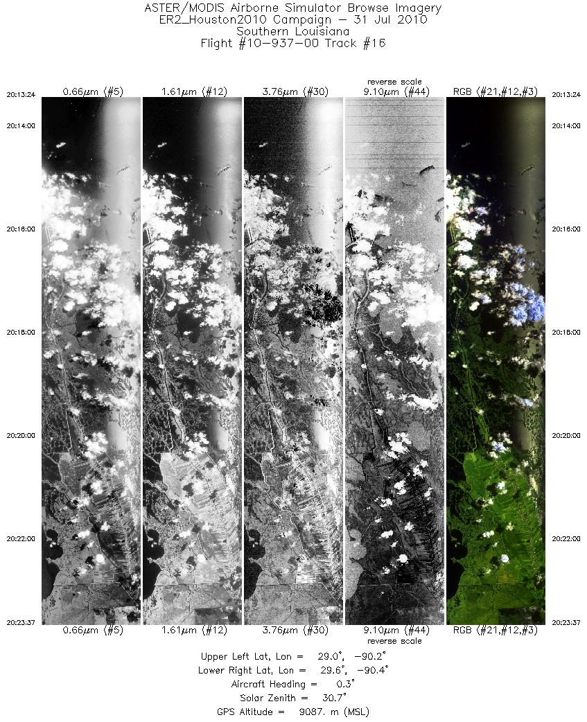
| 16 |
20:13 - 20:23 |
0.4 |
28.985 - 29.604 |
90.272 - 90.275 |
3814 |
9105 |
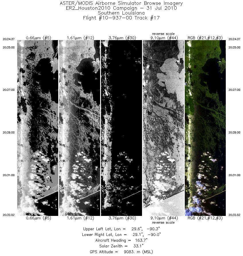
| 17 |
20:24 - 20:32 |
164.6 |
29.610 - 29.086 |
90.233 - 90.115 |
3071 |
9105 |
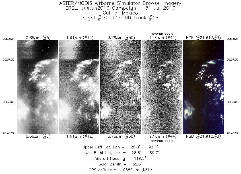
| 18 |
20:36 - 20:40 |
122.7 |
28.869 - 28.703 |
90.070 - 89.782 |
1661 |
11091 |
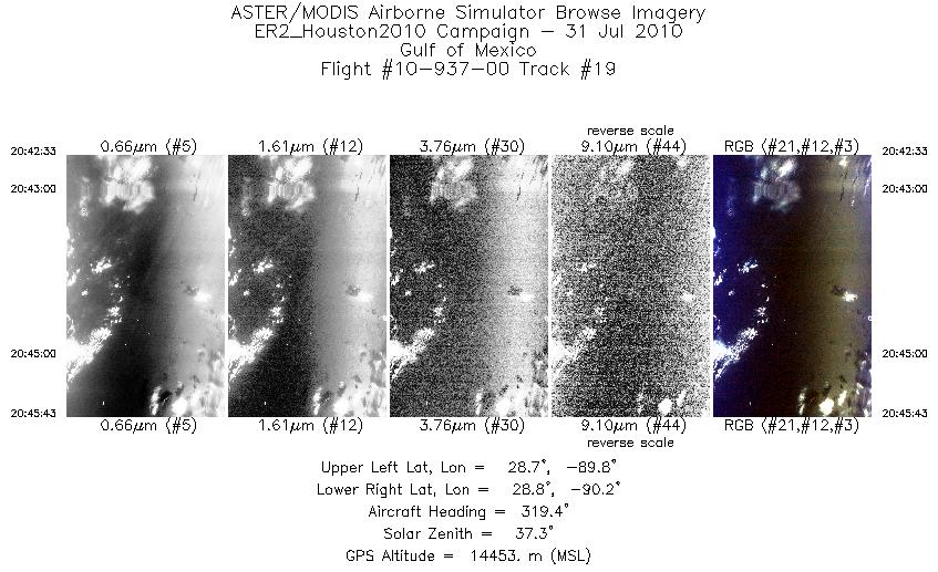
| 19 |
20:42 - 20:45 |
322.3 |
28.655 - 28.849 |
89.878 - 90.066 |
1185 |
14391 |
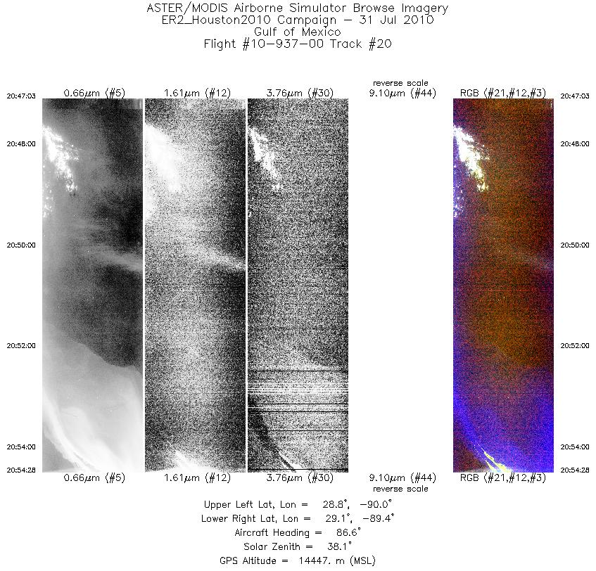
| 20 |
20:47 - 20:54 |
87.0 |
28.926 - 28.971 |
90.042 - 89.382 |
2772 |
14470 |
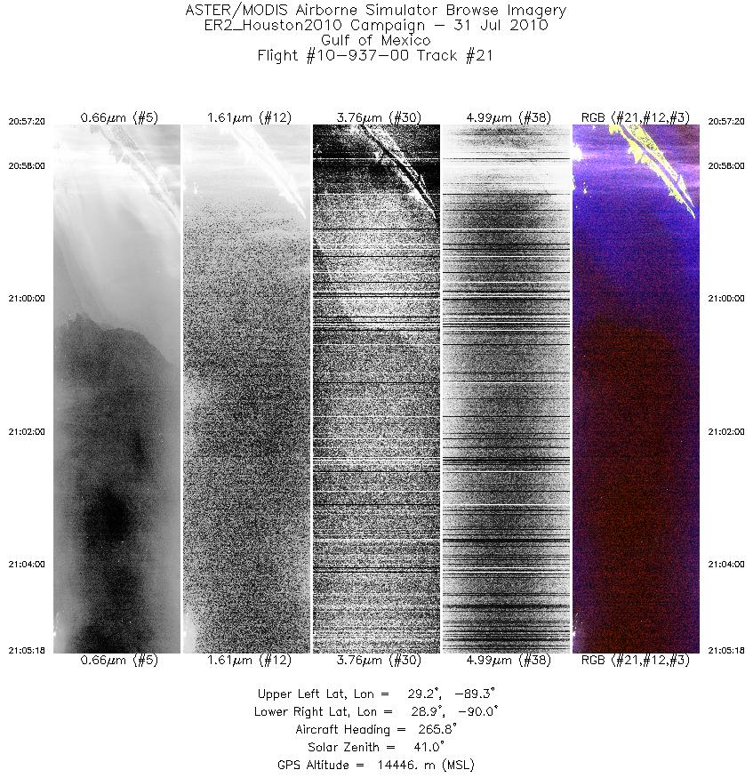
| 21 |
20:57 - 21:05 |
266.3 |
29.045 - 28.999 |
89.300 - 90.013 |
2977 |
14459 |
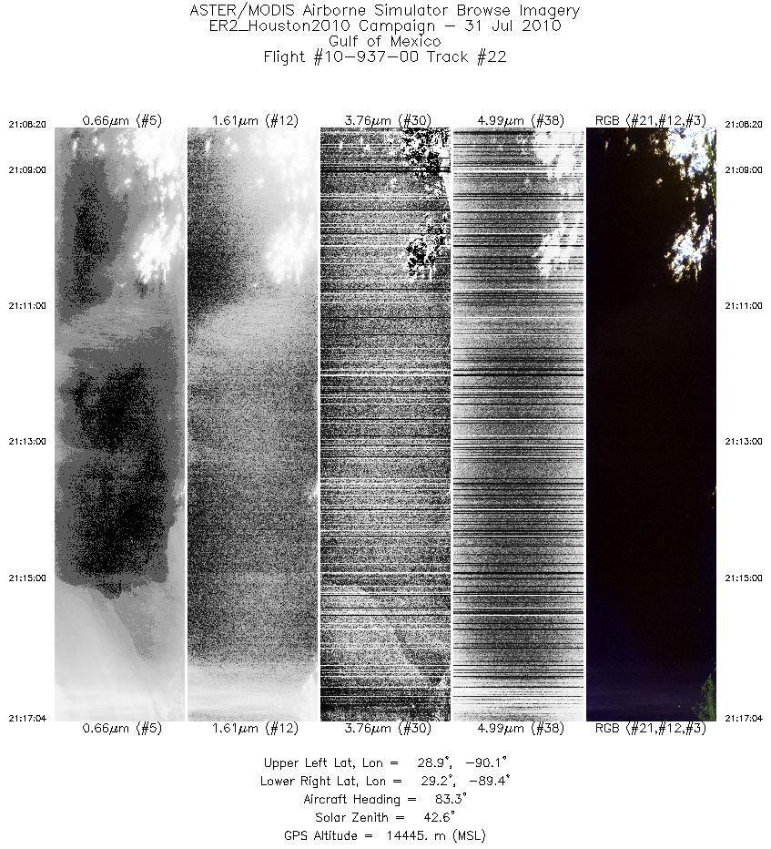
| 22 |
21:08 - 21:17 |
85.6 |
29.056 - 29.107 |
90.136 - 89.395 |
3264 |
14454 |
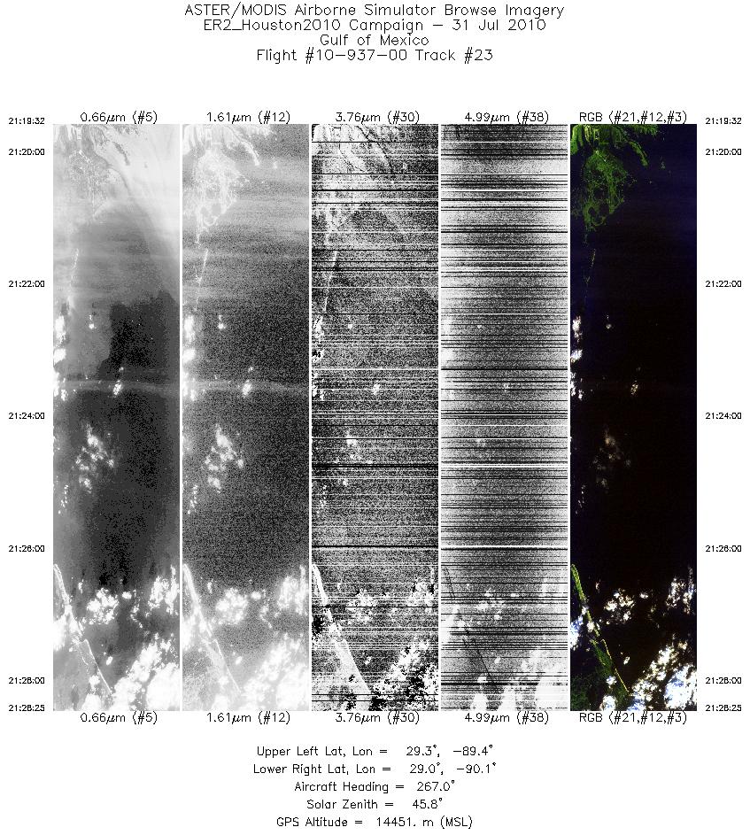
| 23 |
21:19 - 21:28 |
267.9 |
29.178 - 29.137 |
89.345 - 90.146 |
3319 |
14441 |
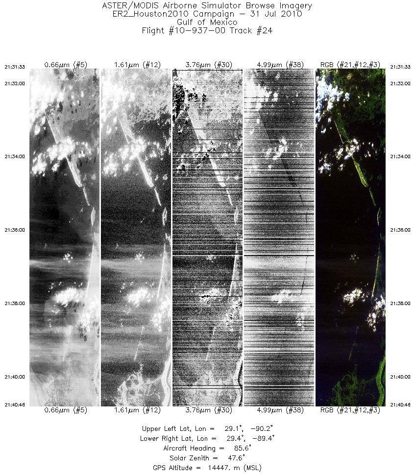
| 24 |
21:31 - 21:40 |
87.2 |
29.199 - 29.245 |
90.217 - 89.407 |
3454 |
14456 |
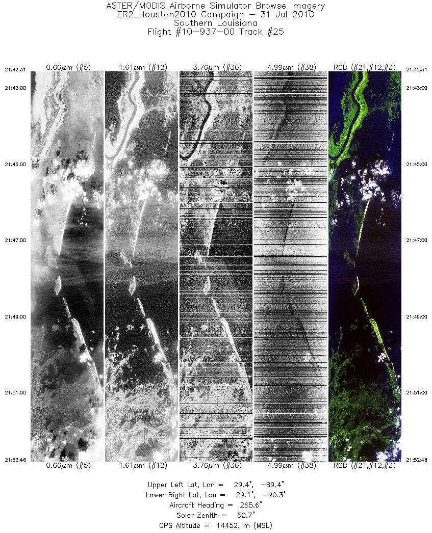
| 25 |
21:42 - 21:52 |
265.4 |
29.333 - 29.247 |
89.394 - 90.300 |
3834 |
14452 |
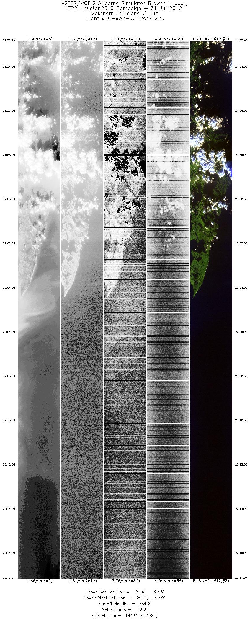
| 26 |
21:52 - 22:17 |
267.3 |
29.247 - 29.248 |
90.306 - 92.870 |
9096 |
14427 |
|


