


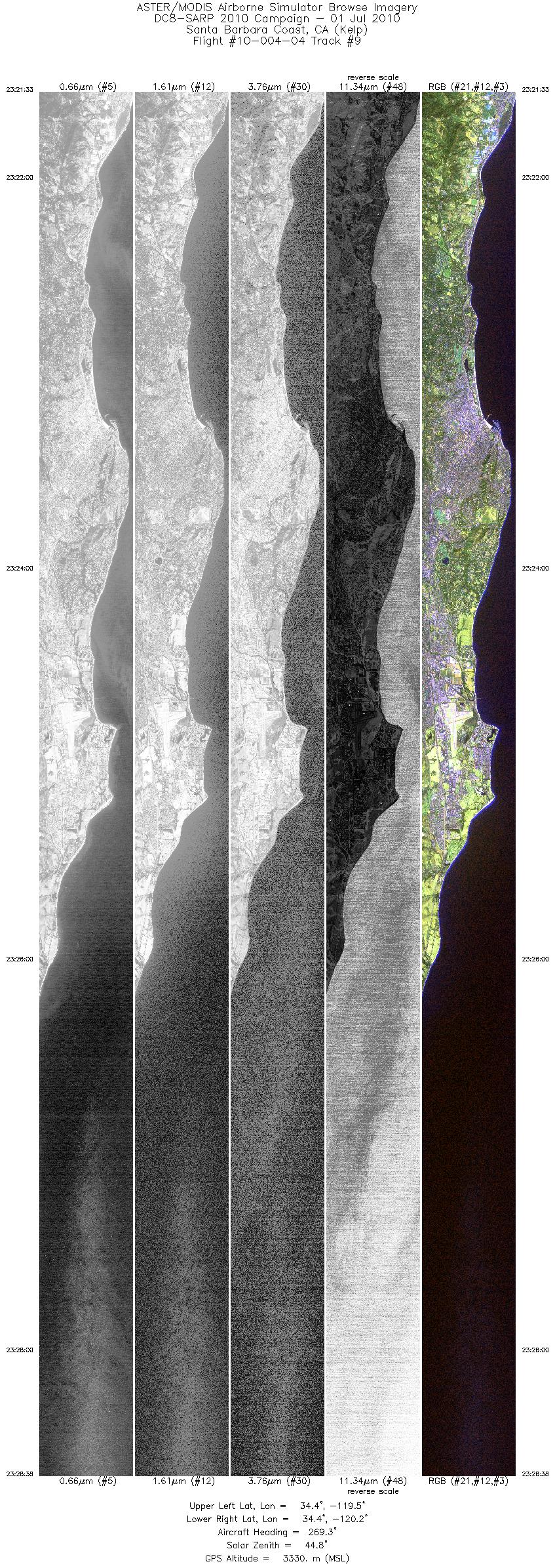
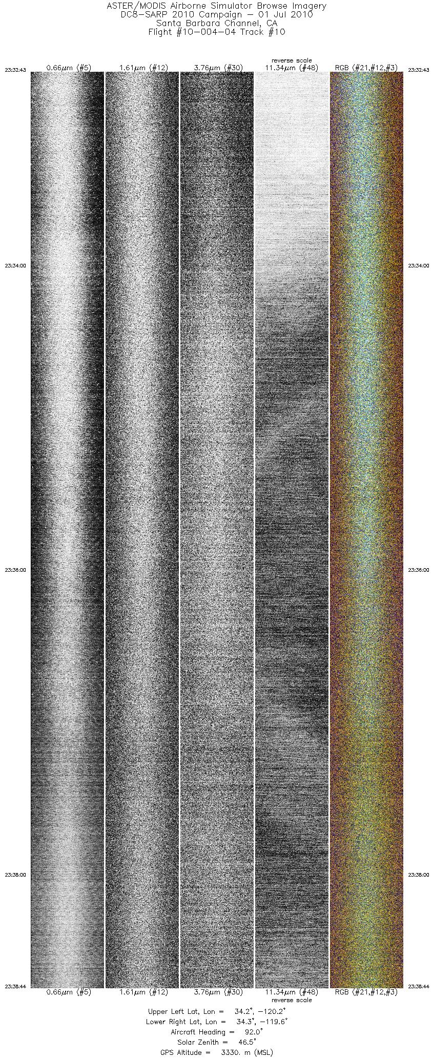
FLIGHT SUMMARY INFORMATION
Flight Track Map


|
Flight: 10-004-04 Date: July 1, 2010 Aircraft: NASA DC-8 #817 Deployment: SARP 2010 Flight Location: Santa Barbara / Central Valley / Monterey Bay, CA Principal Investigator: Ustin (UCD) / Ryan (MBARI) Additional Sensors: DC / WAS / ASCENDS / C02 / AVOCET / MFFL |
||||||||||||||||||||||||||||||||||||||||||||||||||||||||||||||||||||||||||||||||||||||||||||||||||
|
Data Evaluation Overall data quality is good. |
||||||||||||||||||||||||||||||||||||||||||||||||||||||||||||||||||||||||||||||||||||||||||||||||||
|
Processing Information Level-1B Data in HDF format is available Flight Line Summary Spectral Band Configuration Spectral Response Function Table Spectral Response Function (text) |
||||||||||||||||||||||||||||||||||||||||||||||||||||||||||||||||||||||||||||||||||||||||||||||||||
|
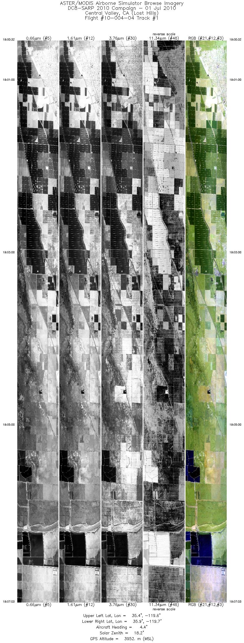
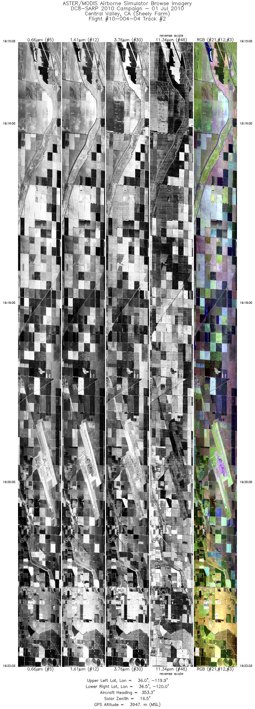
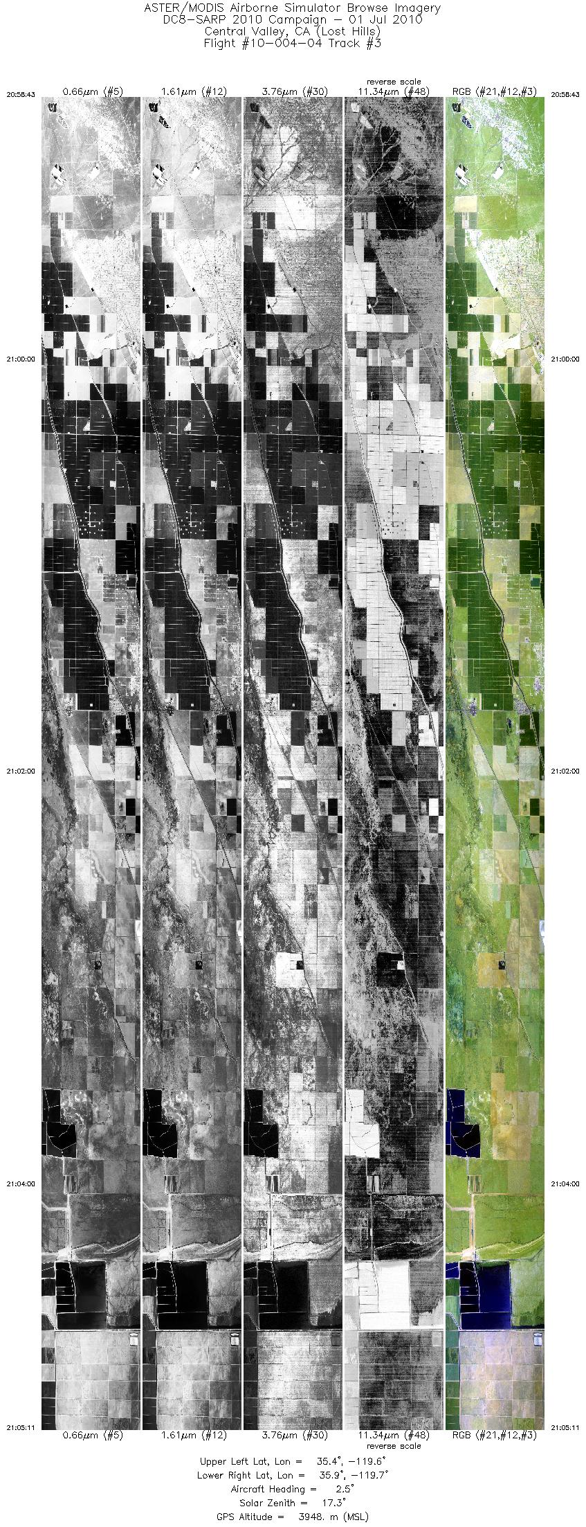
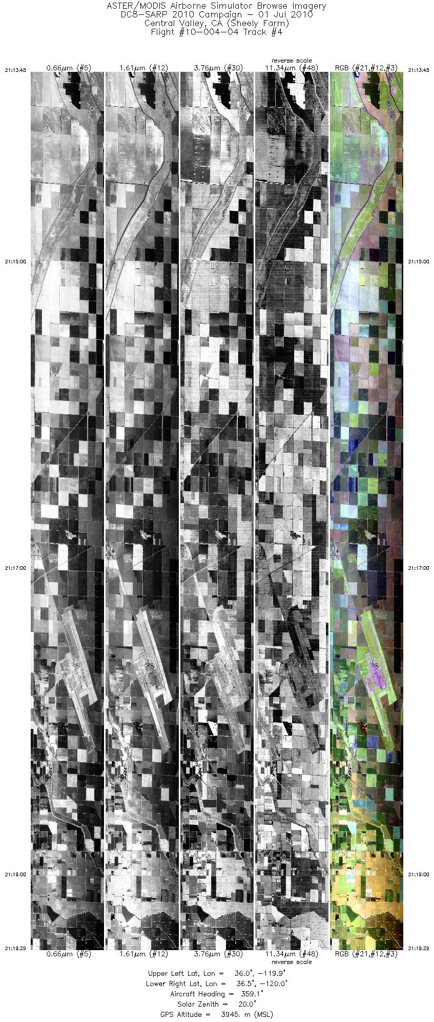
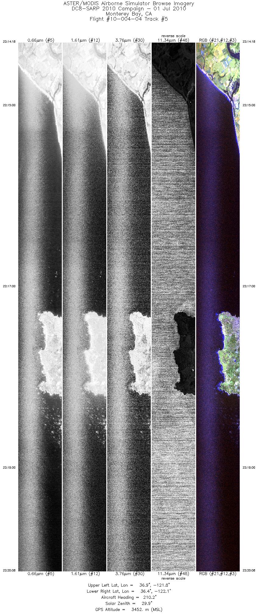
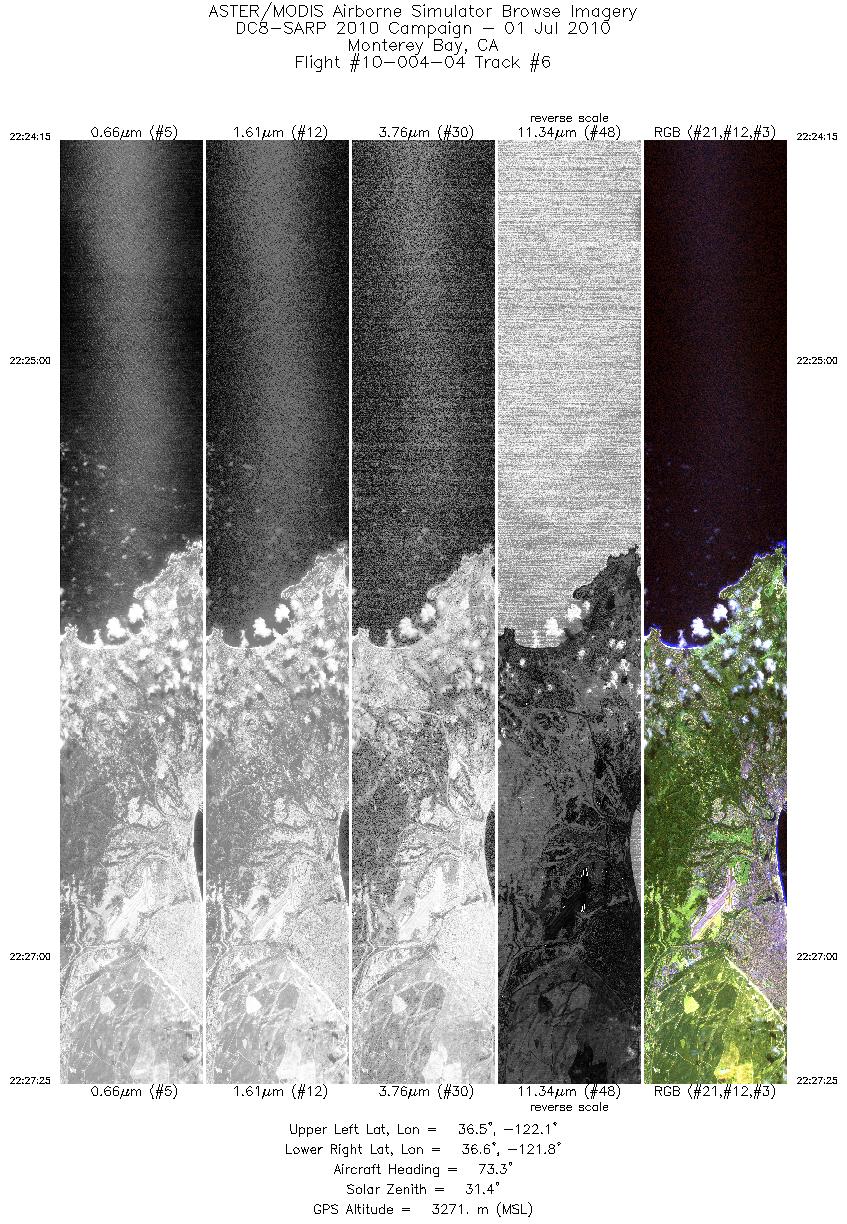
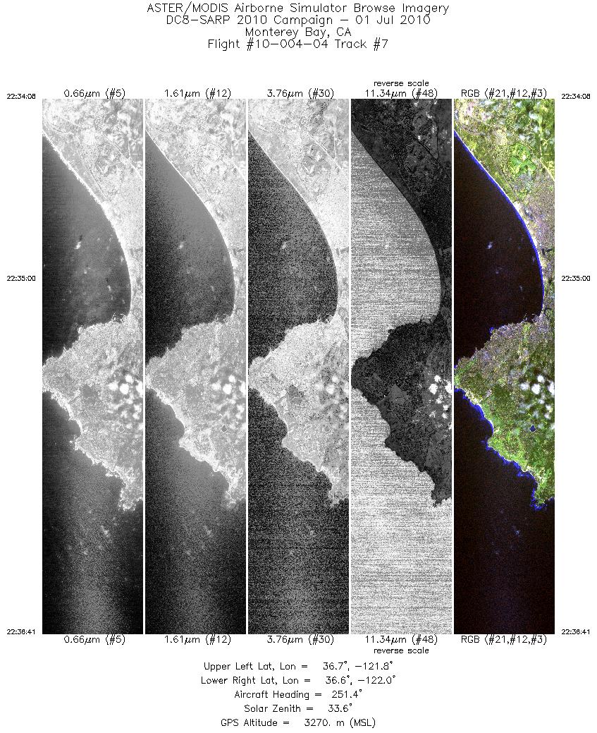
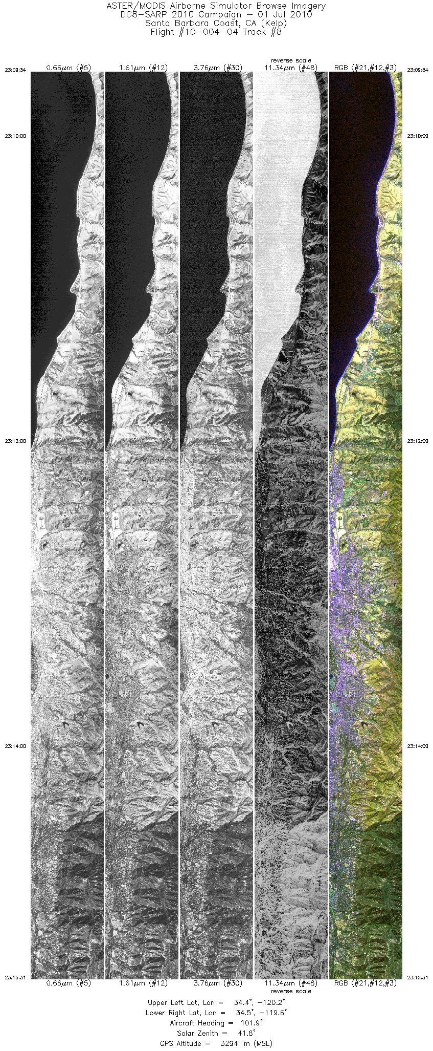
Browse Imagery Flight Tracks: 10 Scanlines: 83850 |
||||||||||||||||||||||||||||||||||||||||||||||||||||||||||||||||||||||||||||||||||||||||||||||||||
|
||||||||||||||||||||||||||||||||||||||||||||||||||||||||||||||||||||||||||||||||||||||||||||||||||


