


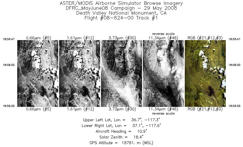
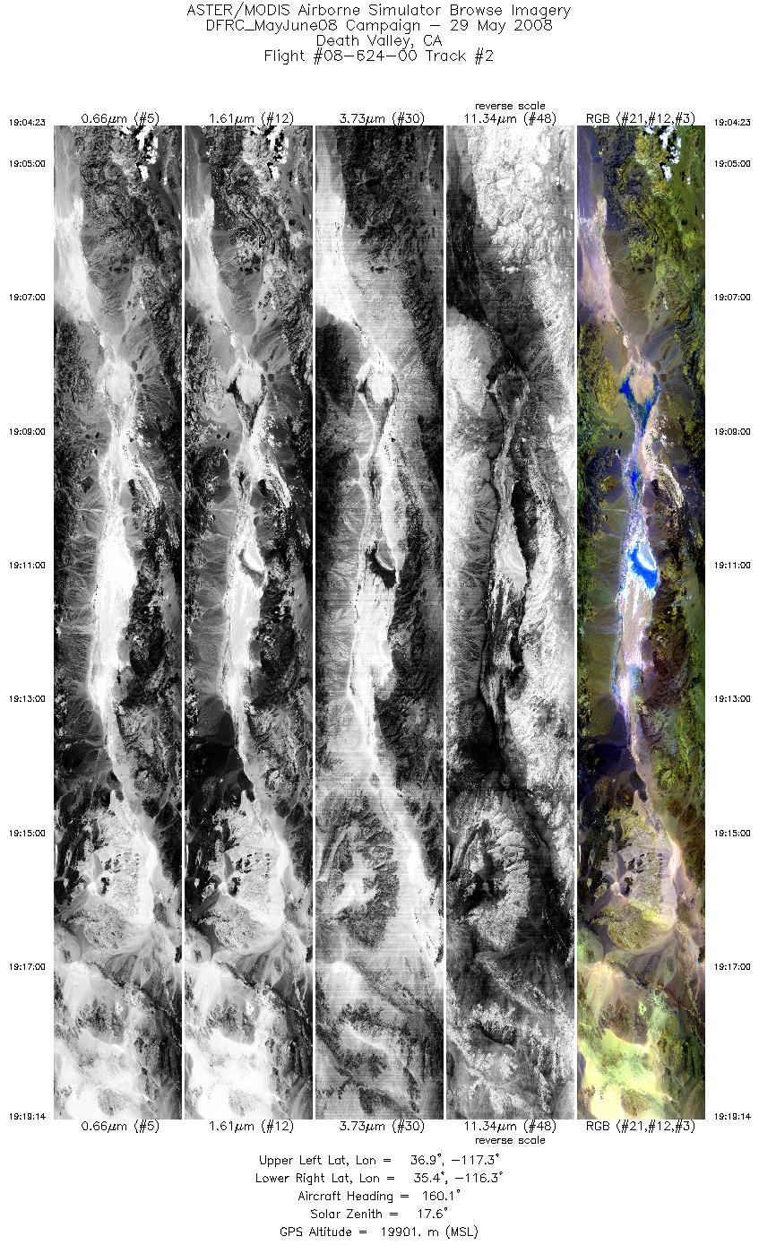
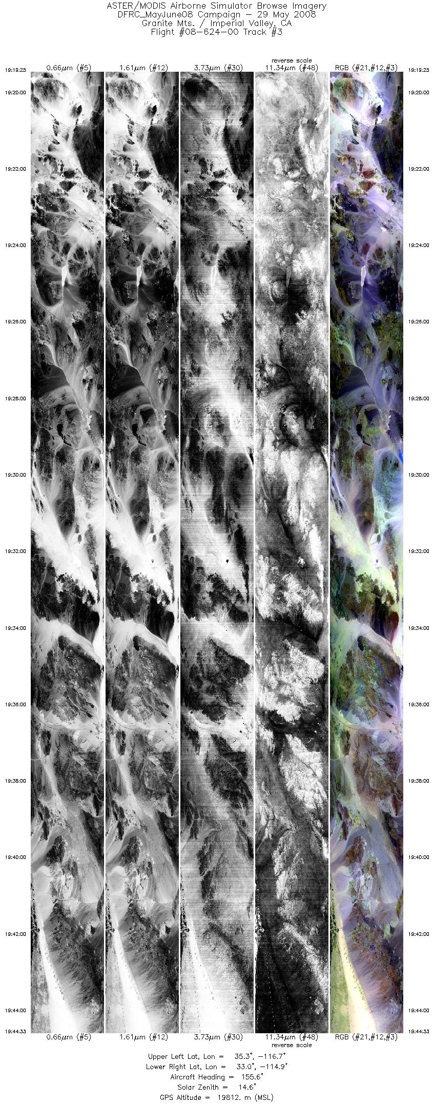
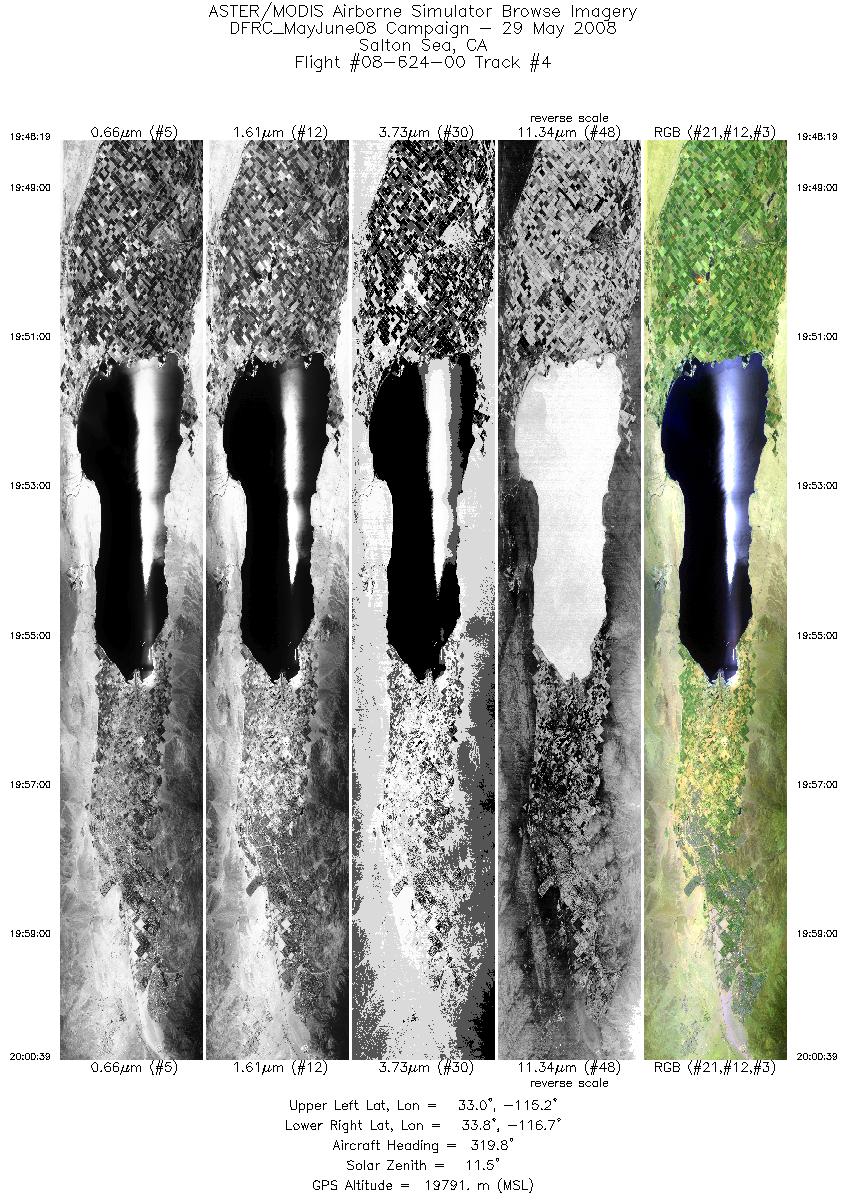
FLIGHT SUMMARY INFORMATION
Flight Track Map


|
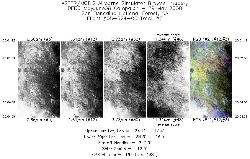
Flight: 08-624-00 Date: May 29, 2008 Aircraft: NASA ER-2, #806 Deployment: DFRC May/June 2008 Flight Location: Death Valley & Salton Sea, CA Principal Investigator: Simon Hook (NASA JPL) Additional Sensors: MVIS |
|||||||||||||||||||||||||||||||||||||||||||||||||||||||||||||||
|
Data Evaluation Overall data quality is good. |
|||||||||||||||||||||||||||||||||||||||||||||||||||||||||||||||
|
Processing Information Level-1B Data in HDF format is available Flight Line Summary Spectral Band Configuration Spectral Response Function Table Spectral Response Function (text) |
|||||||||||||||||||||||||||||||||||||||||||||||||||||||||||||||
|
Browse Imagery Flight Tracks: 5 Scanlines: 21987 |
|||||||||||||||||||||||||||||||||||||||||||||||||||||||||||||||
|
|||||||||||||||||||||||||||||||||||||||||||||||||||||||||||||||


