Flight: 08-005-11
Date: August 27, 2008
Aircraft: DOE B200, #798
Deployment: RSL August 2008
Flight Location: Witch, Rice, Santiago, & Grass Valley Fires (2007)
Principal Investigator: Simon Hook (NASA JPL)
Additional Sensors: None
|
Data Evaluation
Overall data quality is good.
|
Processing Information
Level-1B Data in HDF format is available
Flight Line Summary
Spectral Band Configuration
Spectral Response Function Table
Spectral Response Function (text)
|
Browse Imagery
Flight Tracks: 12
Scanlines: 74932
|
Browse Imagery Table
|
Click a Flight Track number to view a quicklook image
Lat/Lon ranges are for the BEG-END scanline nadir pixels
|
Flight
Track |
Time Span
(UTC) |
Heading
(Deg) |
Lat Range
(Deg N) |
Lon Range
(Deg W) |
Length
(Scanlines) |
Altitude
(Meters) |
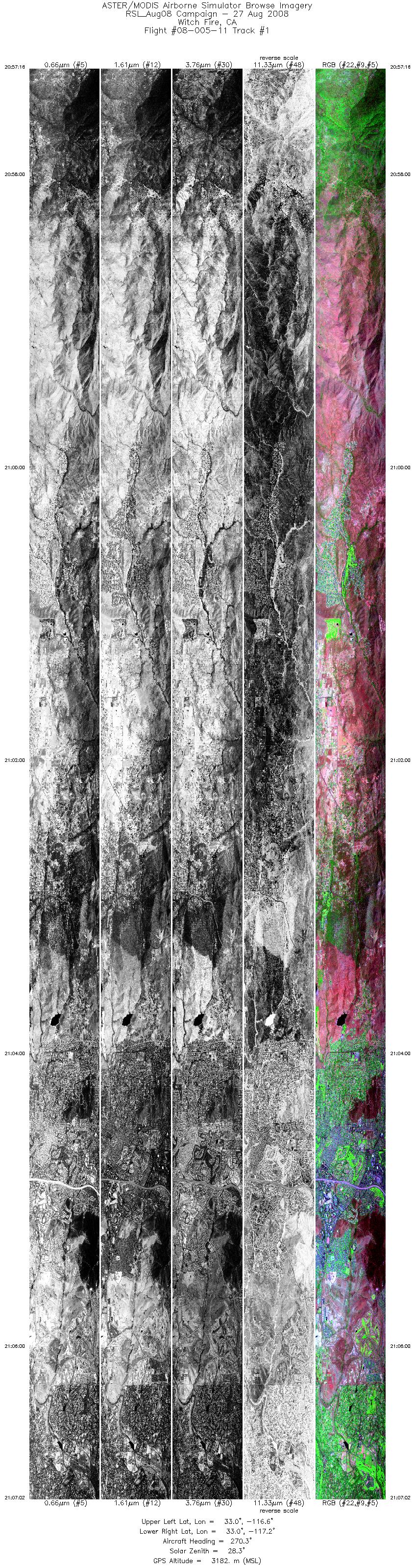
| 1 |
20:57 - 21:07 |
272.0 |
32.999 - 33.003 |
116.589 - 117.221 |
14594 |
3184 |
| 2 |
21:09 - 21:18 |
88.4 |
33.080 - 33.078 |
117.180 - 116.634 |
12805 |
3182 |
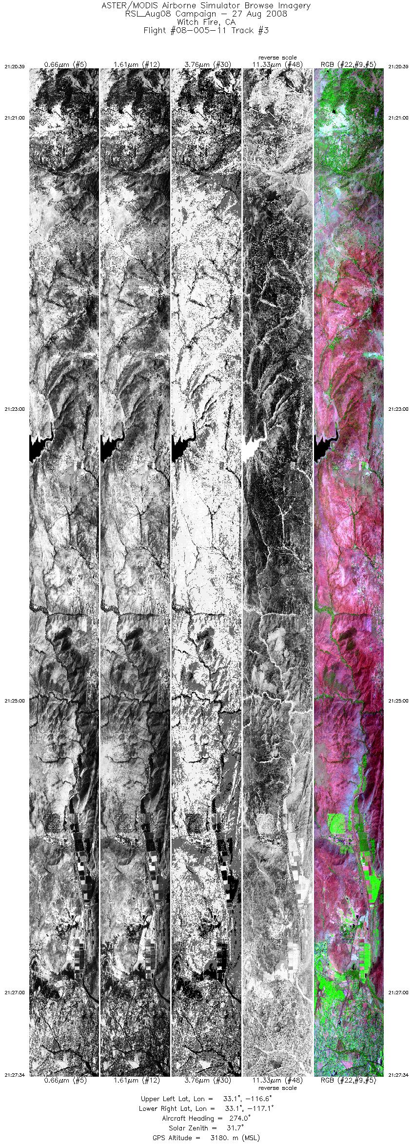
| 3 |
21:20 - 21:27 |
273.0 |
33.094 - 33.097 |
116.617 - 117.063 |
10339 |
3181 |
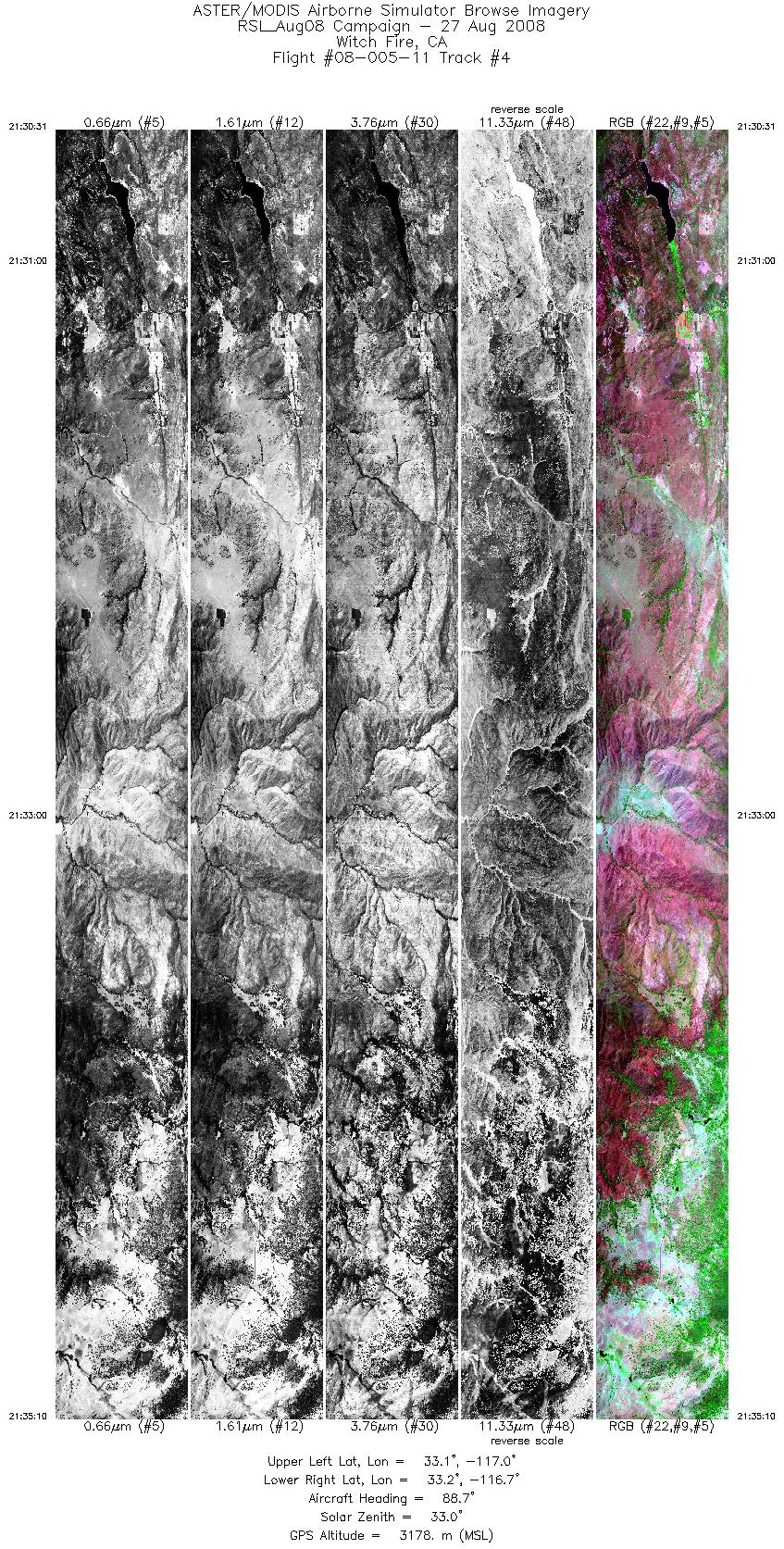
| 4 |
21:30 - 21:35 |
87.9 |
33.173 - 33.171 |
117.011 - 116.713 |
6965 |
3164 |
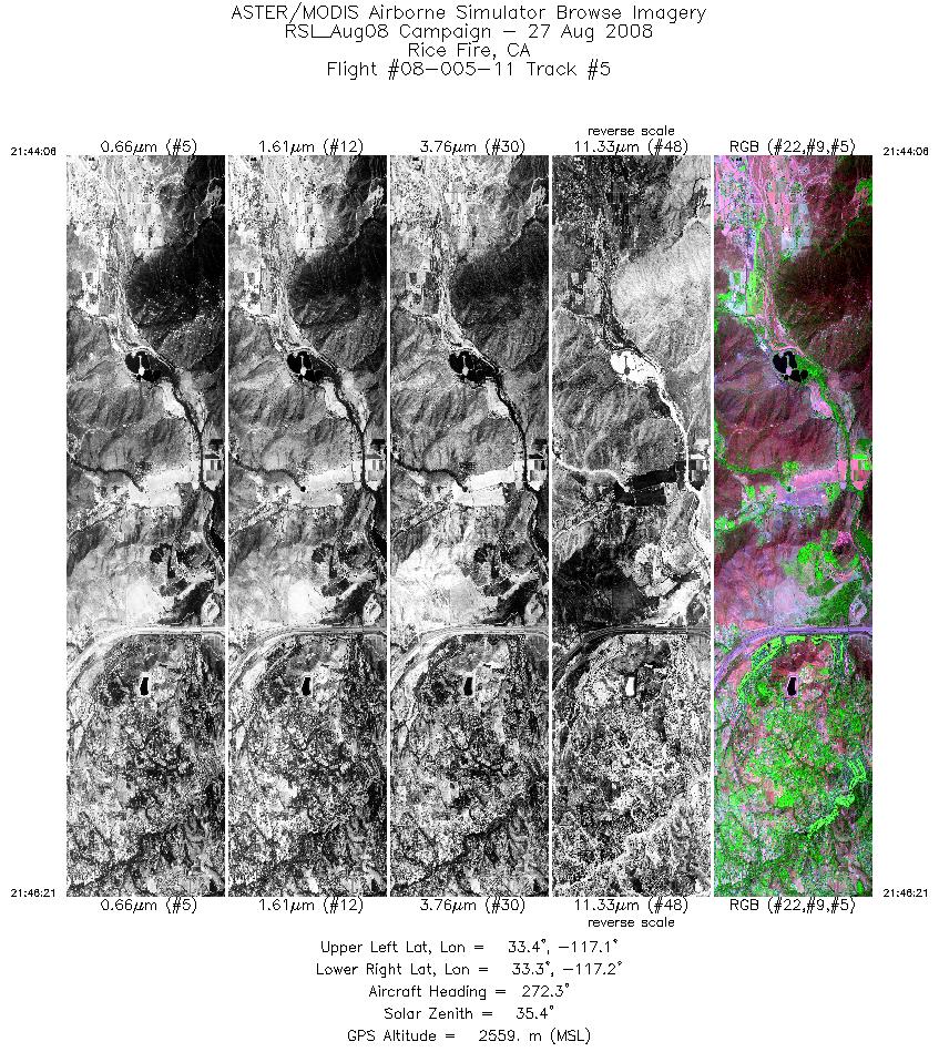
| 5 |
21:44 - 21:46 |
271.5 |
33.354 - 33.354 |
117.069 - 117.211 |
3347 |
2559 |
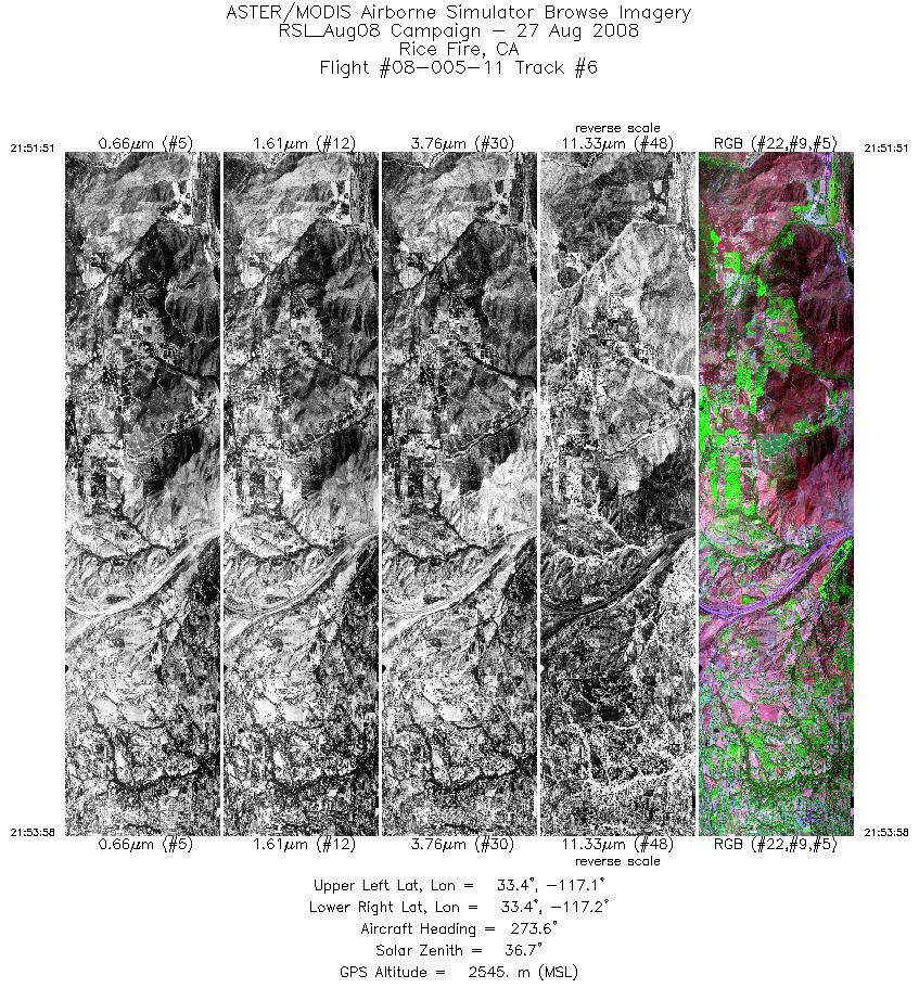
| 6 |
21:51 - 21:53 |
271.7 |
33.376 - 33.376 |
117.085 - 117.220 |
3159 |
2546 |
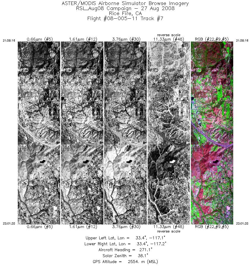
| 7 |
21:59 - 22:01 |
271.0 |
33.399 - 33.399 |
117.099 - 117.233 |
3089 |
2555 |
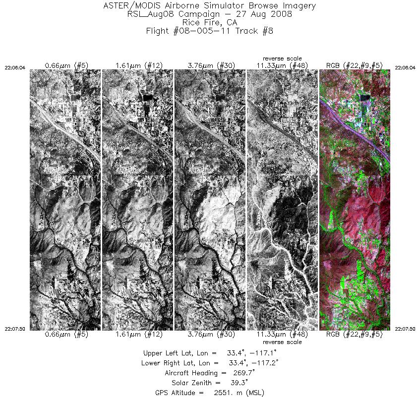
| 8 |
22:06 - 22:07 |
270.2 |
33.421 - 33.421 |
117.127 - 117.242 |
2635 |
2551 |
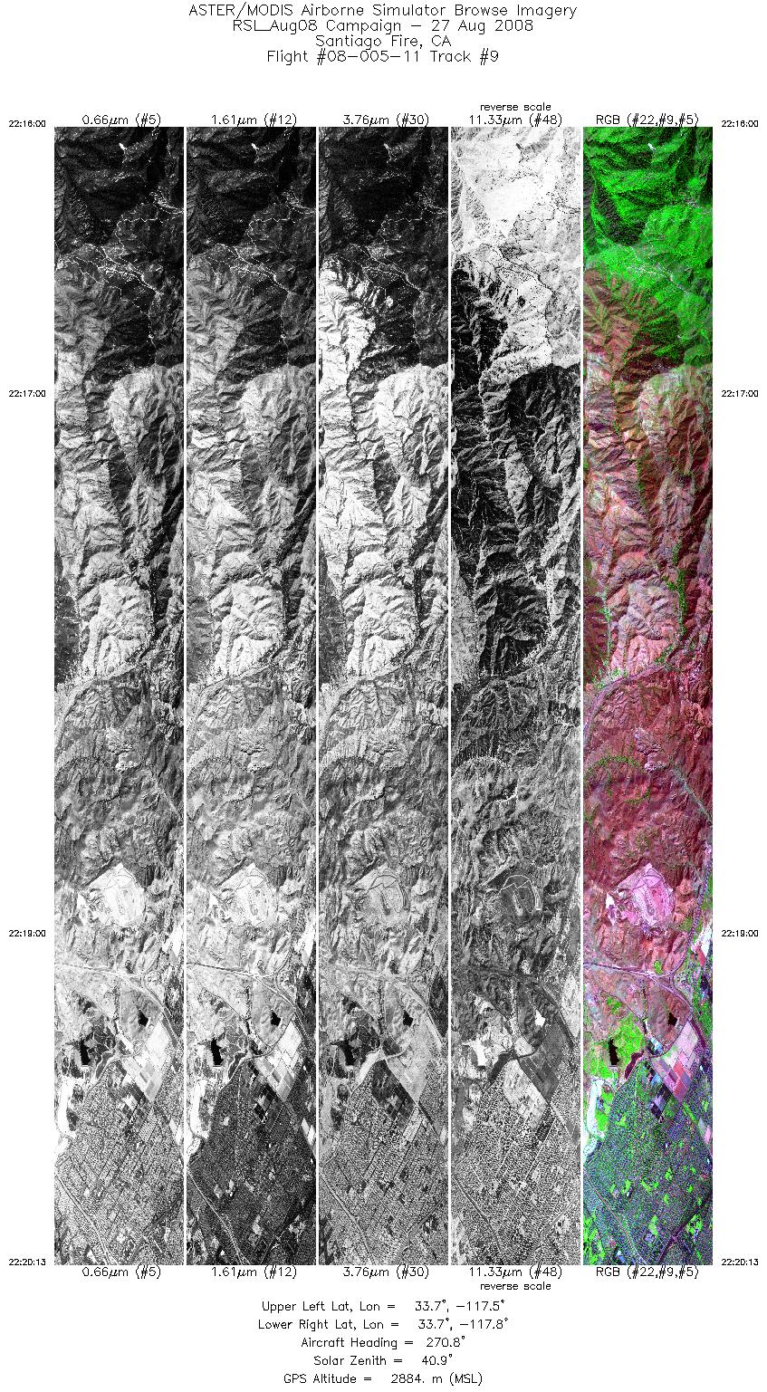
| 9 |
22:16 - 22:20 |
270.6 |
33.717 - 33.718 |
117.516 - 117.790 |
6289 |
2883 |
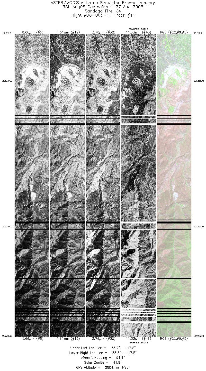
| 10 |
22:22 - 22:26 |
90.0 |
33.747 - 33.746 |
117.791 - 117.522 |
6196 |
2899 |
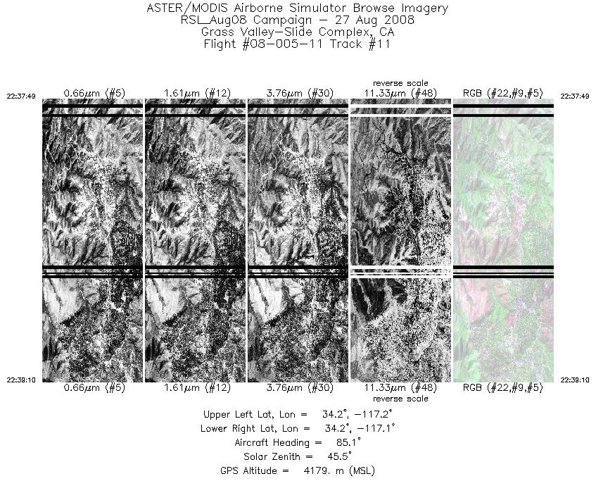
| 11 |
22:37 - 22:39 |
86.5 |
34.199 - 34.200 |
117.169 - 117.080 |
2019 |
4179 |
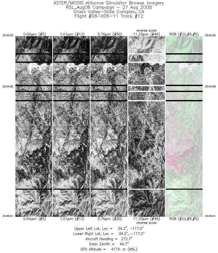
| 12 |
22:43 - 22:45 |
271.1 |
34.220 - 34.221 |
117.009 - 117.165 |
3495 |
4184 |
|


