


FLIGHT SUMMARY INFORMATION
Flight Track Map


|
Flight: 08-005-10 Date: August 26, 2008 Aircraft: DOE B200, #798 Deployment: RSL August 2008 Flight Location: San Francisco & Monterey Bay, CA Principal Investigator: Steve Hipskind (NASA ARC) & John Ryan (MBARI) Additional Sensors: None |
||||||||||||||||||||||||||||||||||||||||||||||||||||||||||||||||||||||||||||||||||||||||||||||||||
|
Data Evaluation Overall data quality is good. |
||||||||||||||||||||||||||||||||||||||||||||||||||||||||||||||||||||||||||||||||||||||||||||||||||
|
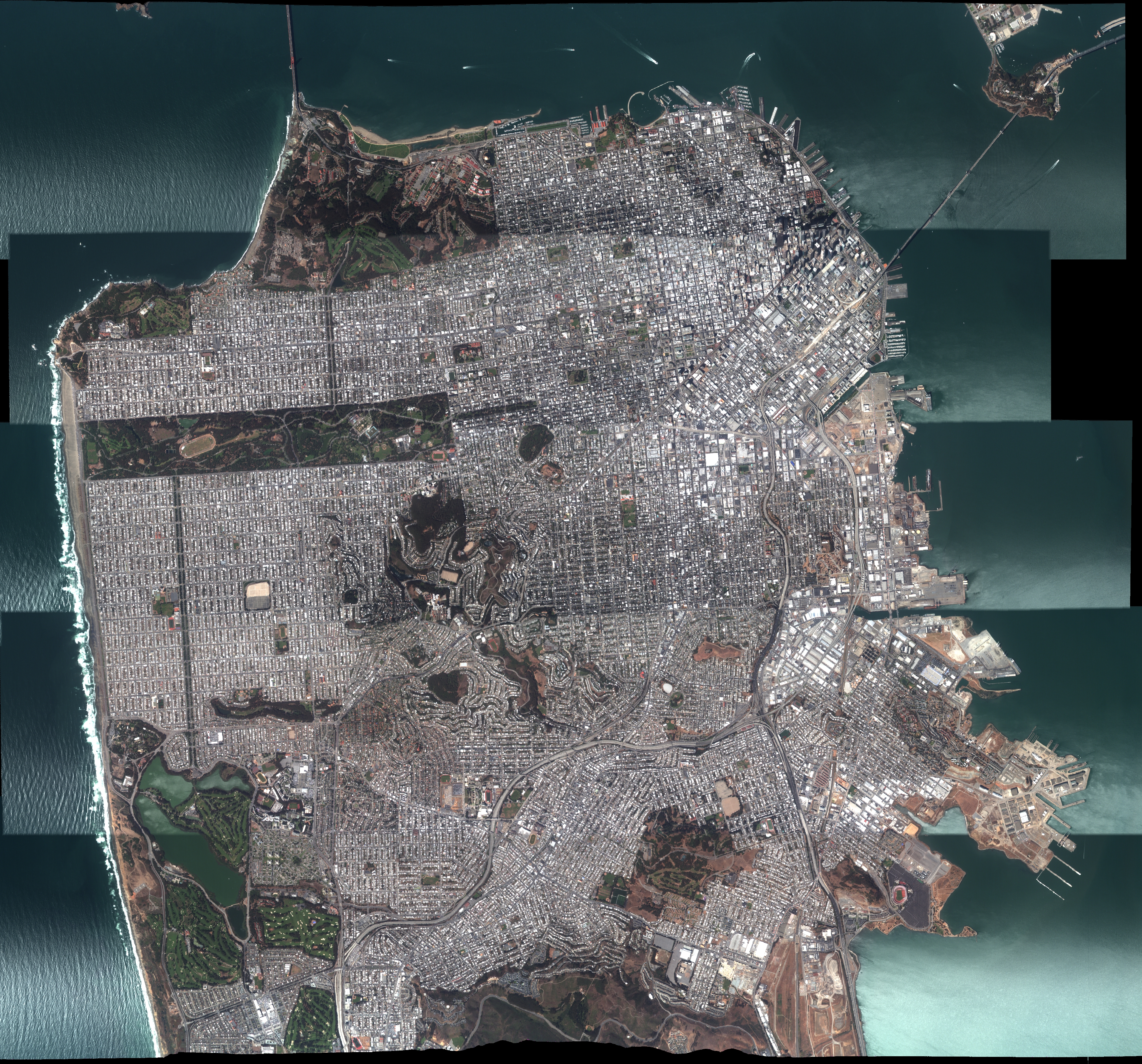
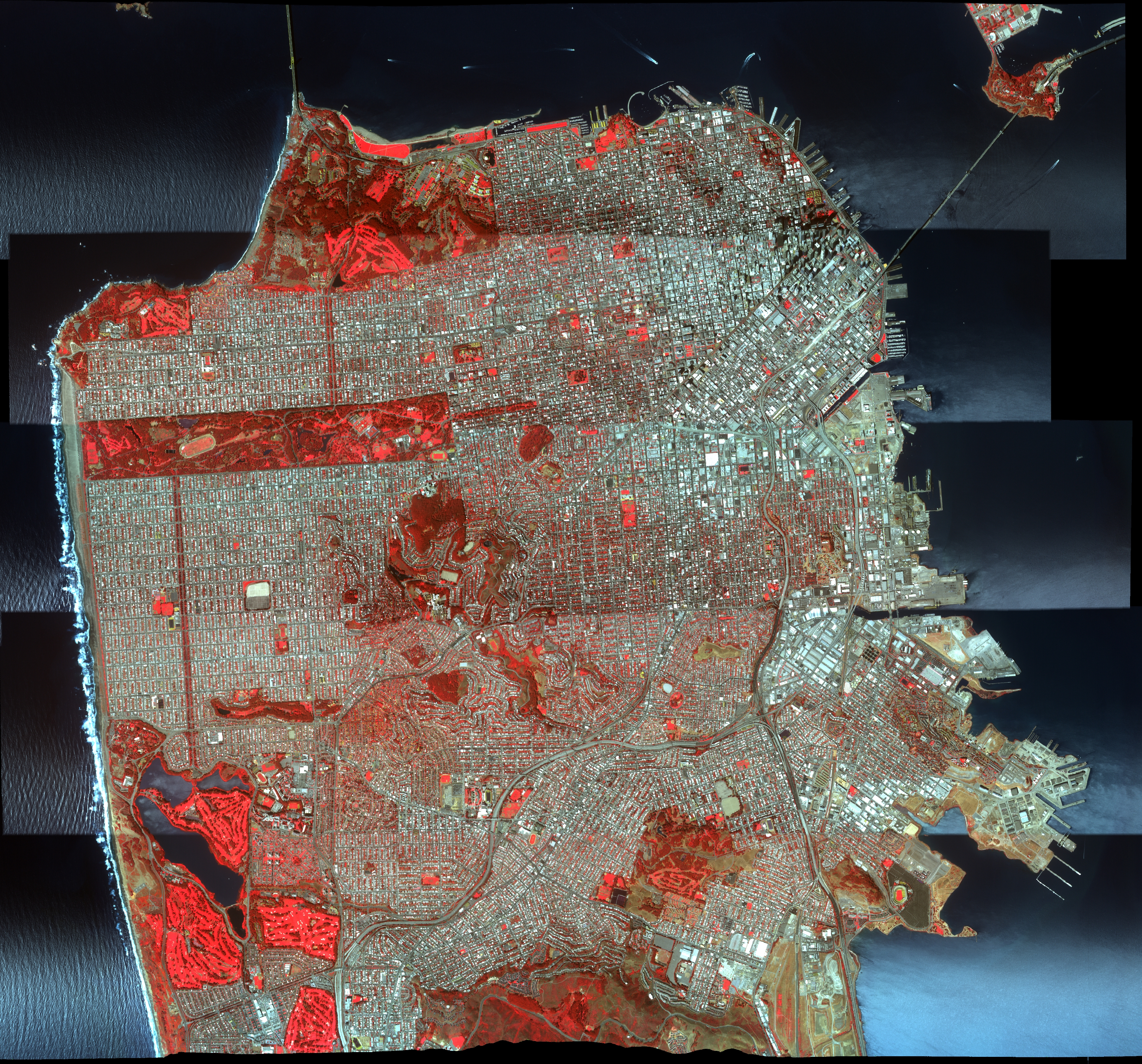
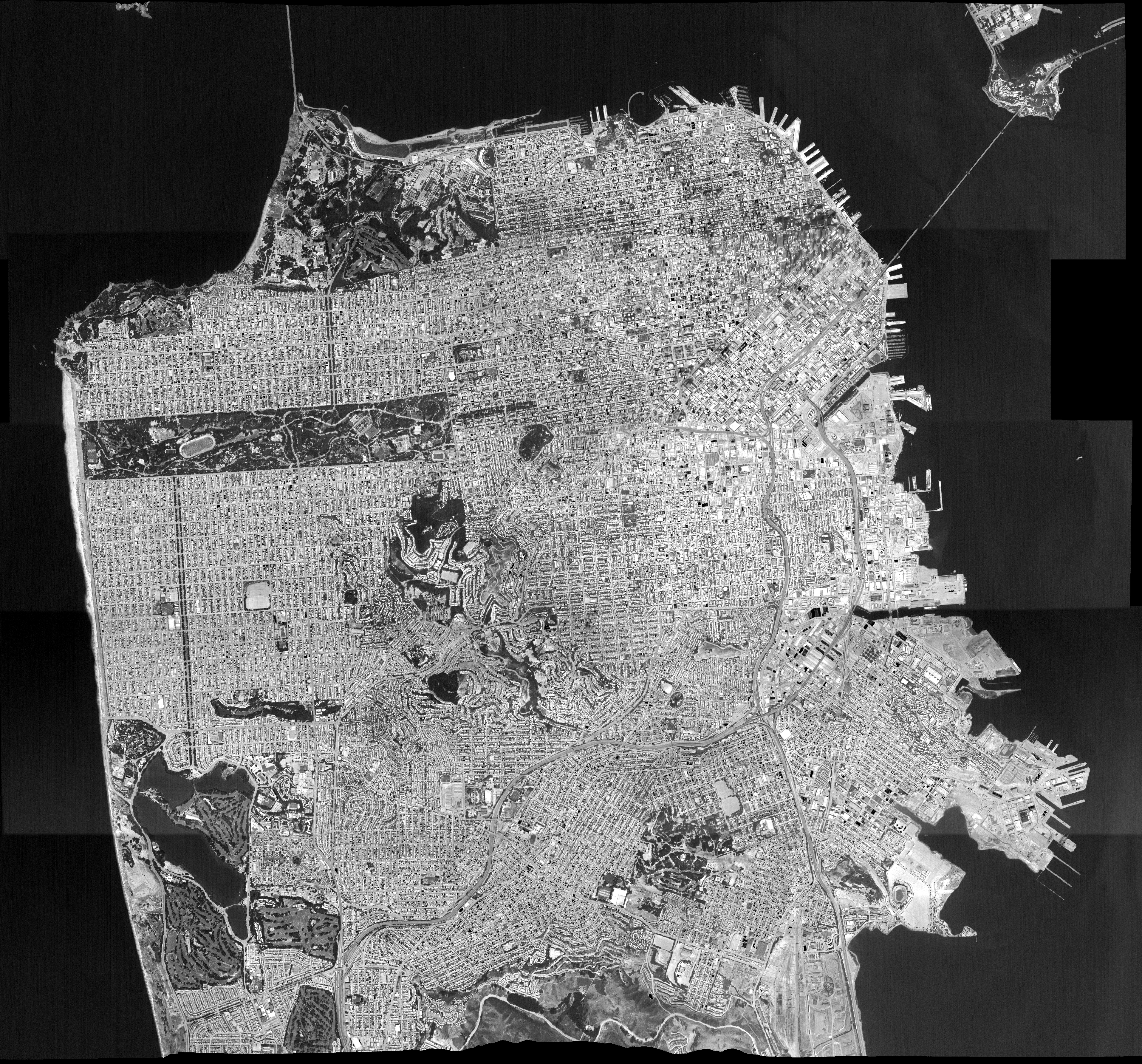
Sample Imagery San Francisco Mosaic (5 flight lines) 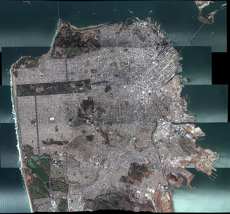 Natural Color (481Kb) or
Click to view full-resolution (14Mb)  Color Infrared (651Kb) or
Click to view full-resolution (15Mb)  Thermal Grey Scale (455Kb) or
Click to view full-resolution (13Mb) |
||||||||||||||||||||||||||||||||||||||||||||||||||||||||||||||||||||||||||||||||||||||||||||||||||
|
Processing Information Level-1B Data in HDF format is available Flight Line Summary Spectral Band Configuration Spectral Response Function Table Spectral Response Function (text) |
||||||||||||||||||||||||||||||||||||||||||||||||||||||||||||||||||||||||||||||||||||||||||||||||||
|
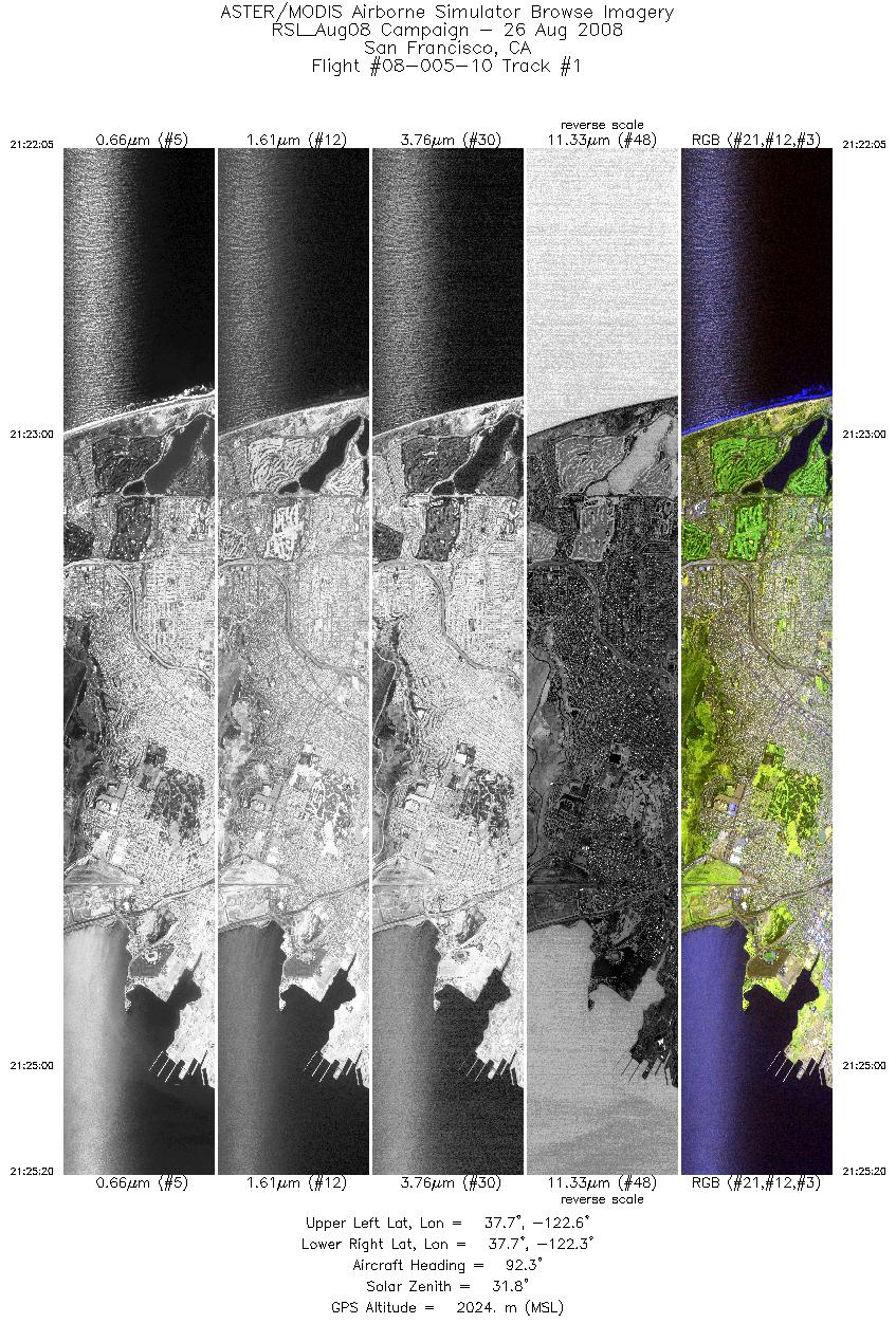
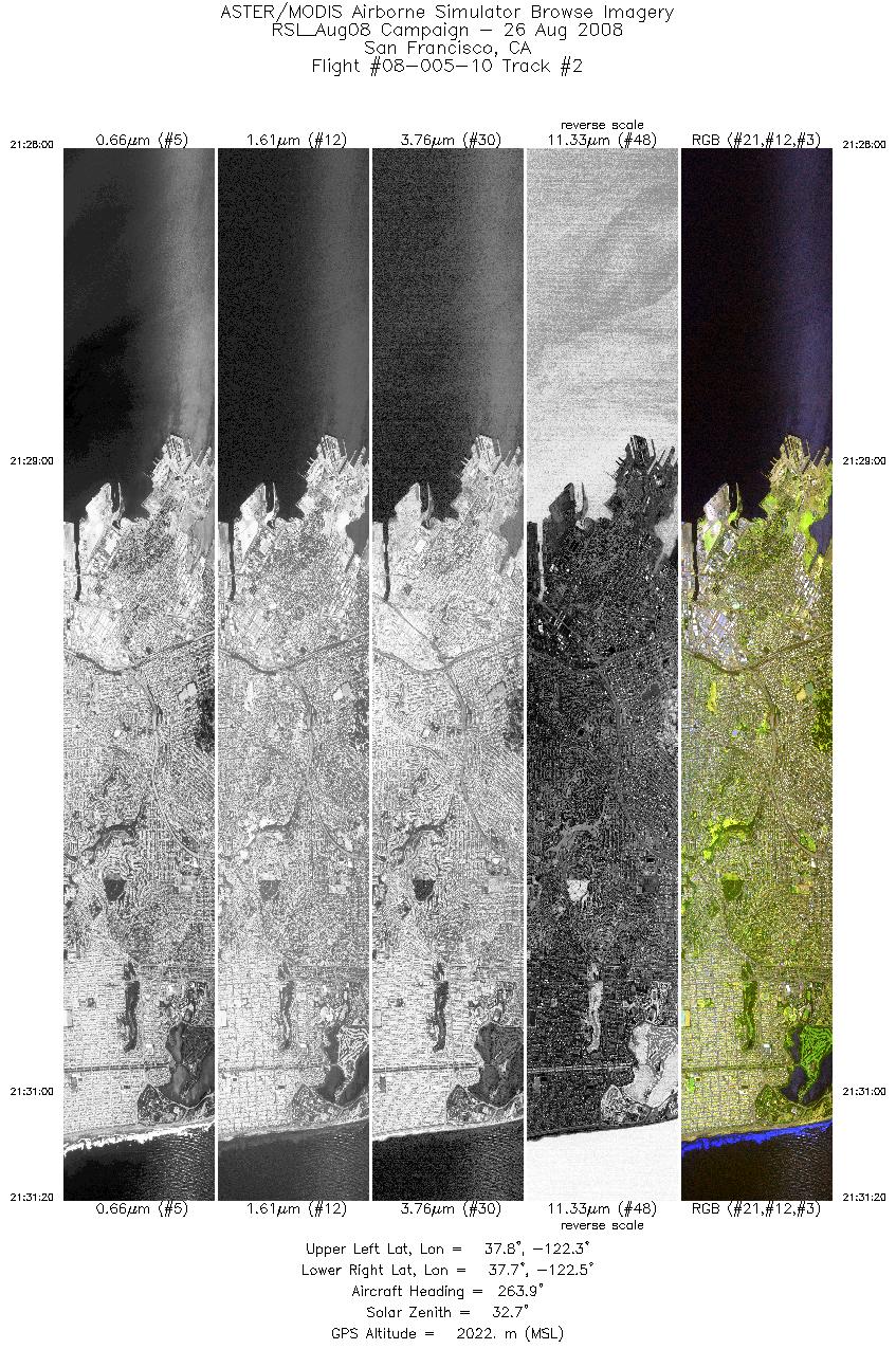
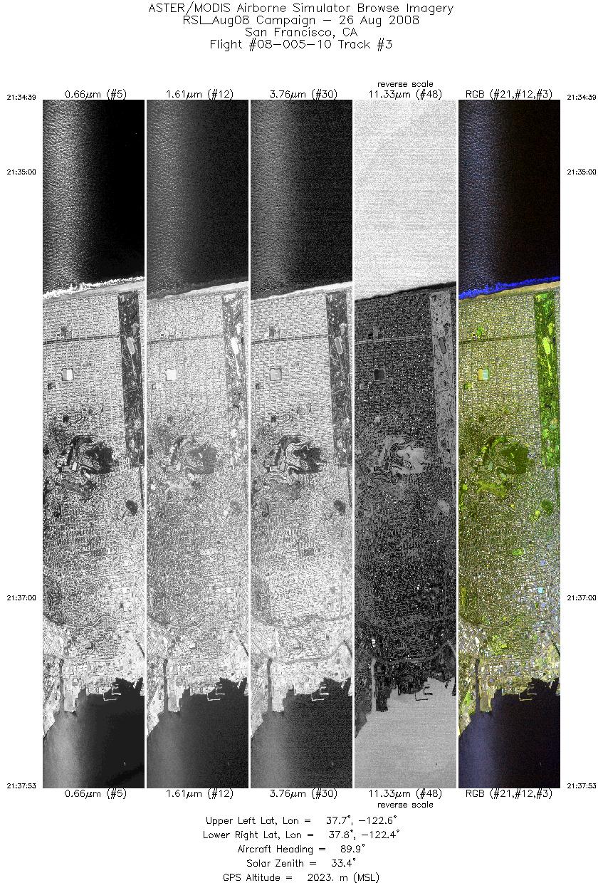
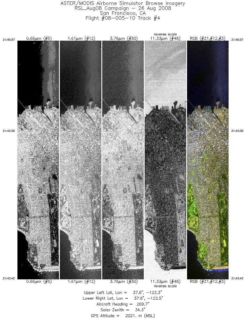
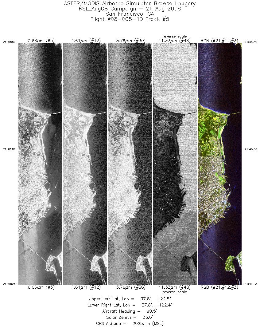
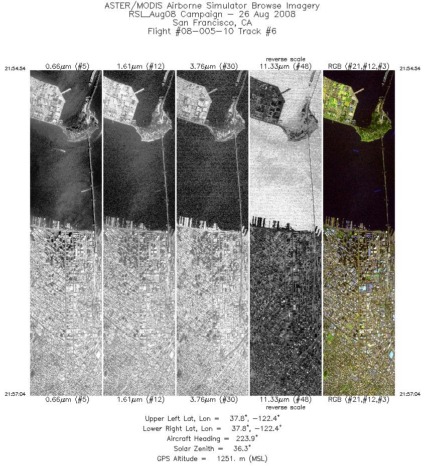
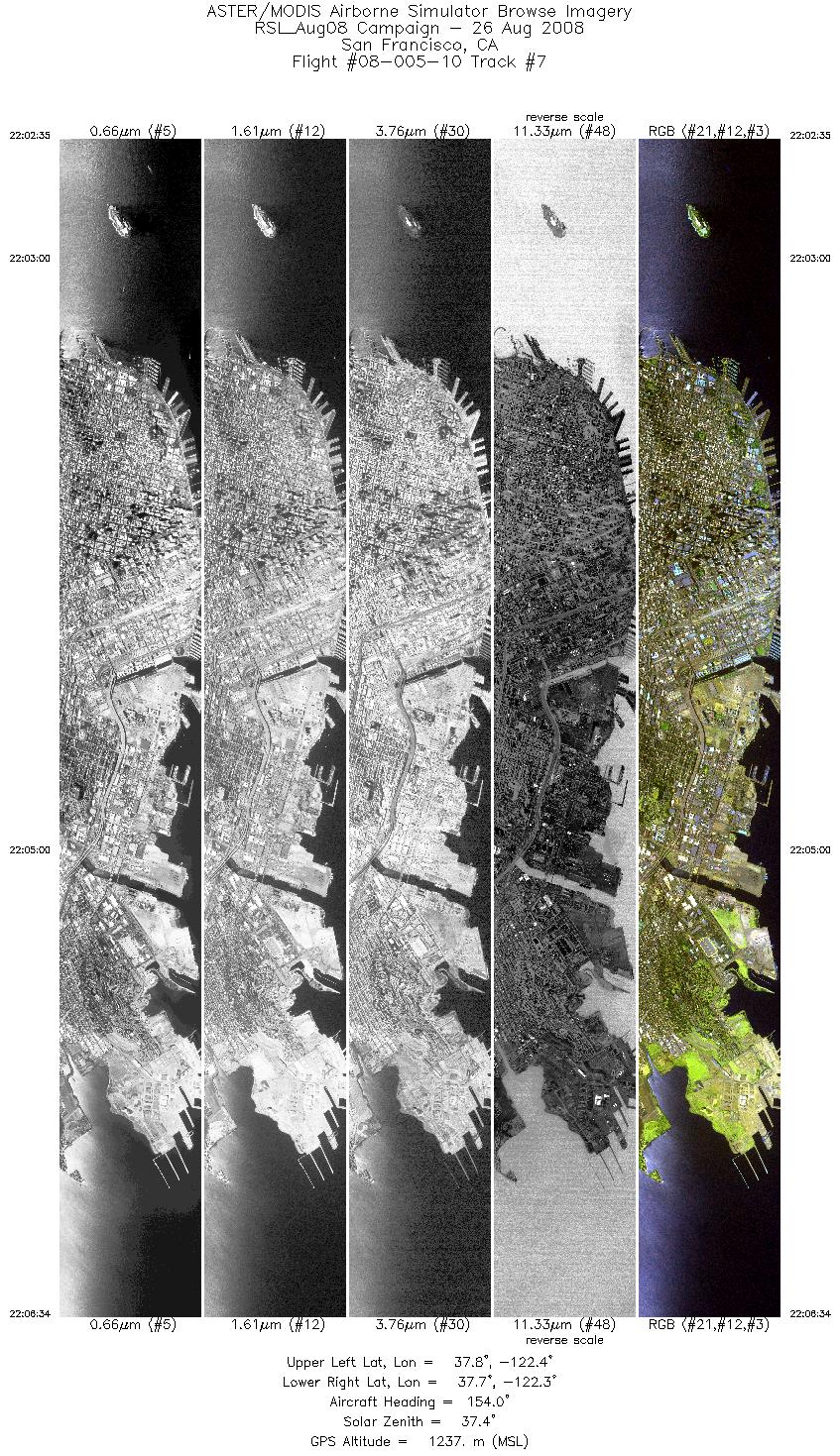
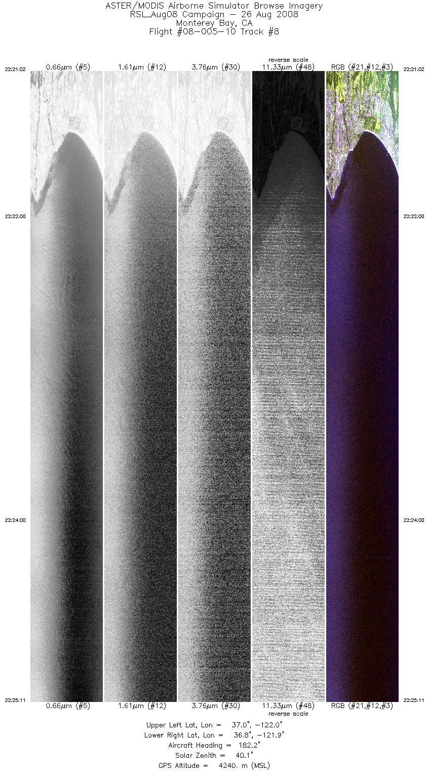
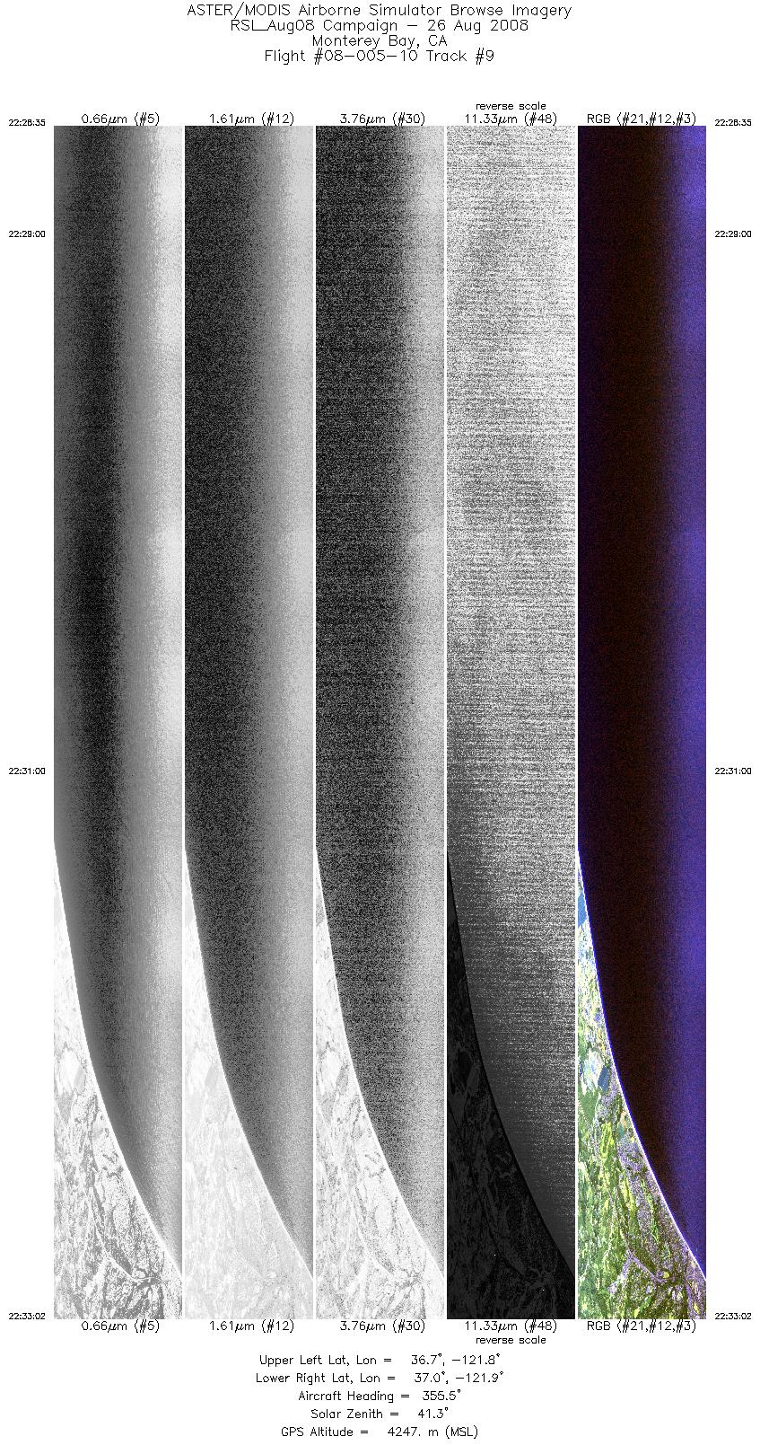
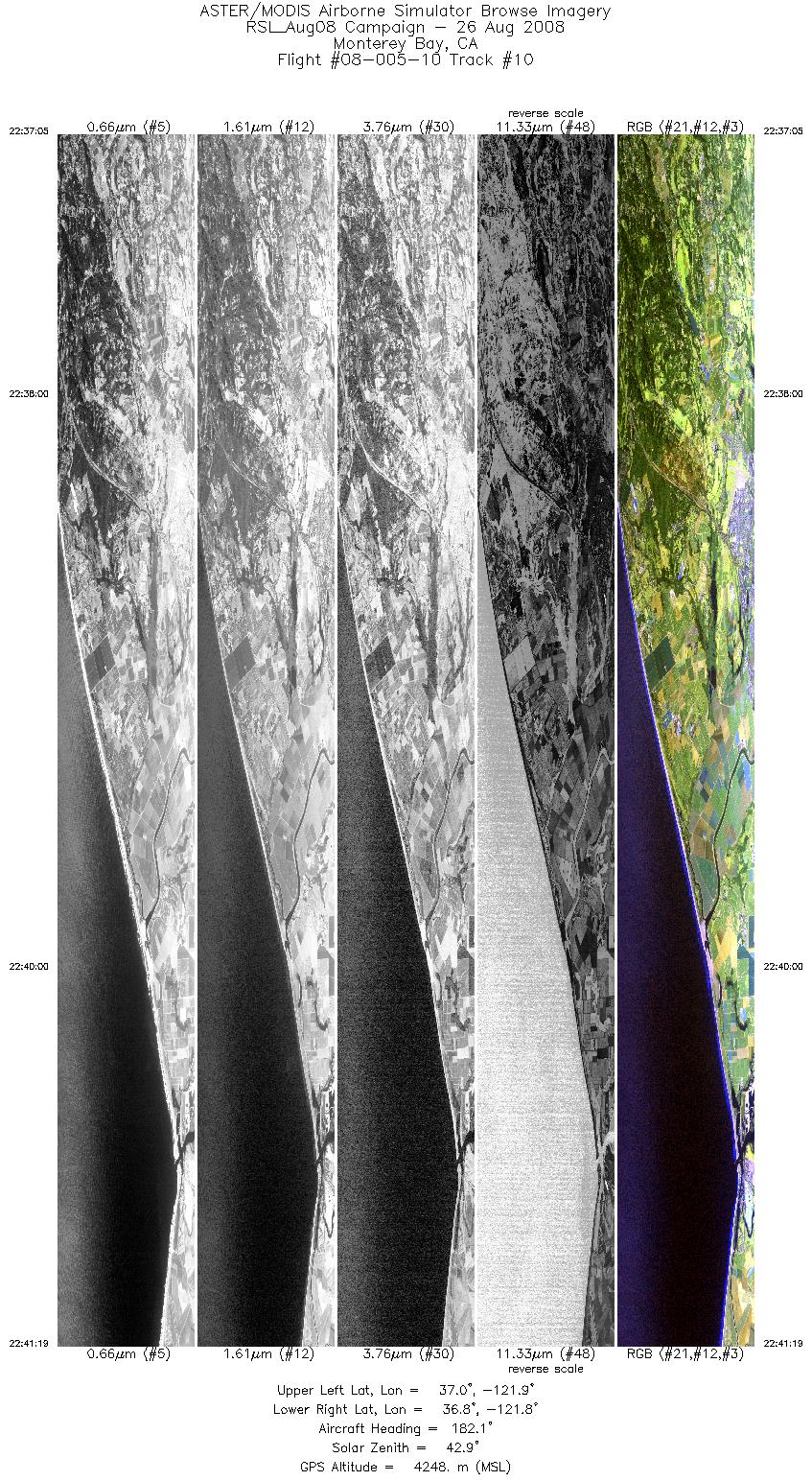
Browse Imagery Flight Tracks: 10 Scanlines: 51107 |
||||||||||||||||||||||||||||||||||||||||||||||||||||||||||||||||||||||||||||||||||||||||||||||||||
|
||||||||||||||||||||||||||||||||||||||||||||||||||||||||||||||||||||||||||||||||||||||||||||||||||

Flight 08-005-10


| Sample Imagery |
| Click image for full resolution |
|
Mosaic San Francisco, CA |

|
|
R: 2.13µm G: 1.62µm B: 0.55µm |


