


FLIGHT SUMMARY INFORMATION
Flight Track Map


|
Flight: 08-003-01 Date: April 14, 2008 Aircraft: DOE B200, #798 Deployment: RSL April 2008 Flight Location: San Francisco Bay Area Principal Investigator: F.C.F. Additional Sensors: None |
||||||||||||||||||||||||||||||||||||||||||||||||||||||||
|
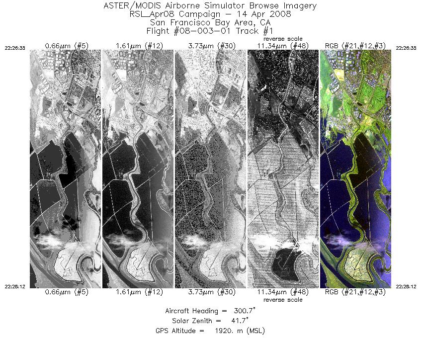
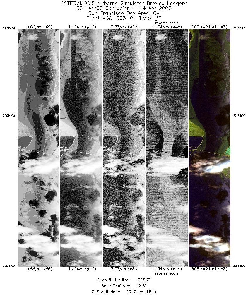
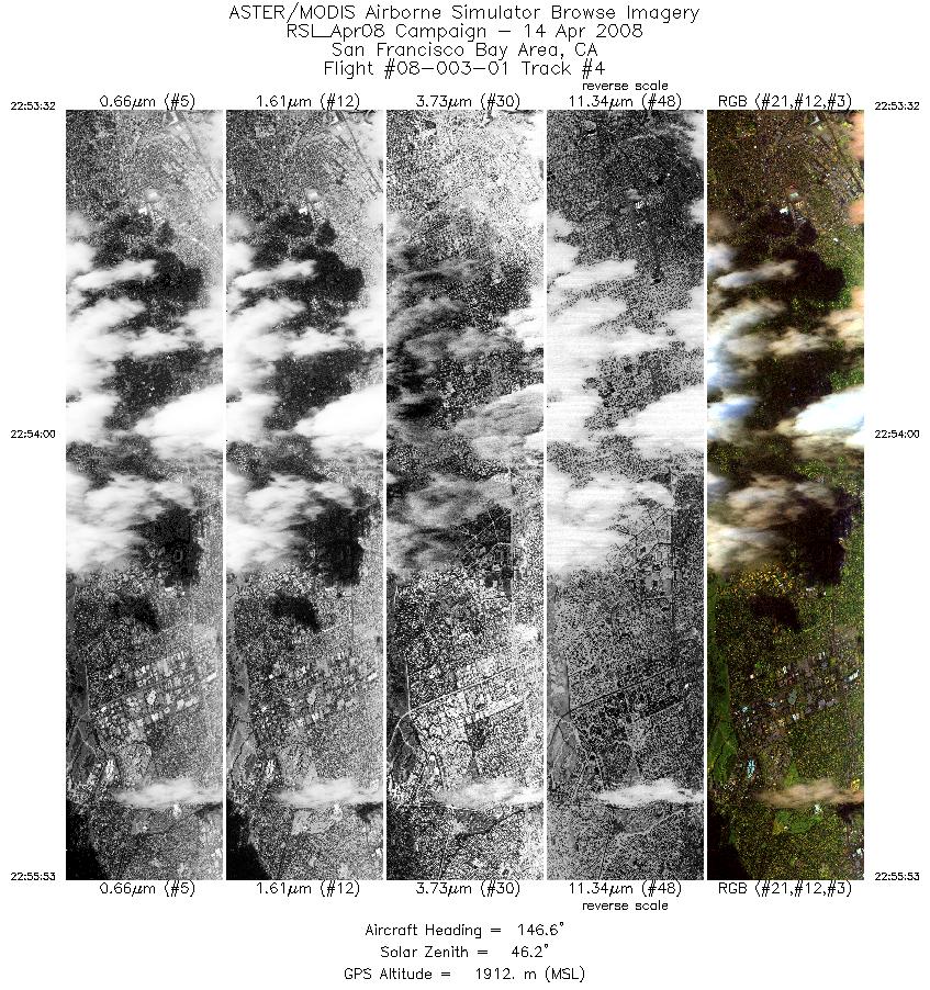
Data Evaluation Overall data quality is good. |
||||||||||||||||||||||||||||||||||||||||||||||||||||||||
|
Processing Information Level-1B Data in HDF format is available Flight Line Summary Spectral Band Configuration Spectral Response Function Table Spectral Response Function (text) |
||||||||||||||||||||||||||||||||||||||||||||||||||||||||
|
Browse Imagery Flight Tracks: 4 Scanlines: 12268 |
||||||||||||||||||||||||||||||||||||||||||||||||||||||||
|
||||||||||||||||||||||||||||||||||||||||||||||||||||||||


