Flight: 08-002-14
Date: November 13, 2007
Aircraft: DOE B200, #796
Deployment: RSL November 2007
Flight Location: Southern California Fires
Principal Investigator: Hook (JPL), Myers / Coffland (UCSC)
Additional Sensors: None
|
Data Evaluation
Overall data quality is good.
|
Processing Information
Level-1B Data in HDF format is available
Flight Line Summary
Spectral Band Configuration
Spectral Response Function Table
Spectral Response Function (text)
|
Browse Imagery
Flight Tracks: 21
Scanlines: 172036
|
Browse Imagery Table
|
Click a Flight Track number to view a quicklook image
Lat/Lon ranges are for the BEG-END scanline nadir pixels
|
Flight
Track |
Time Span
(UTC) |
Heading
(Deg) |
Lat Range
(Deg N) |
Lon Range
(Deg W) |
Length
(Scanlines) |
Altitude
(Meters) |
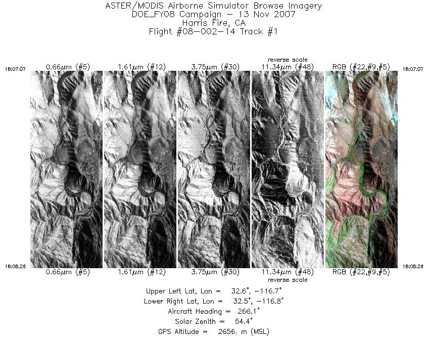
| 1 |
18:07 - 18:08 |
267.8 |
32.563 - 32.564 |
116.742 - 116.829 |
1950 |
2654 |
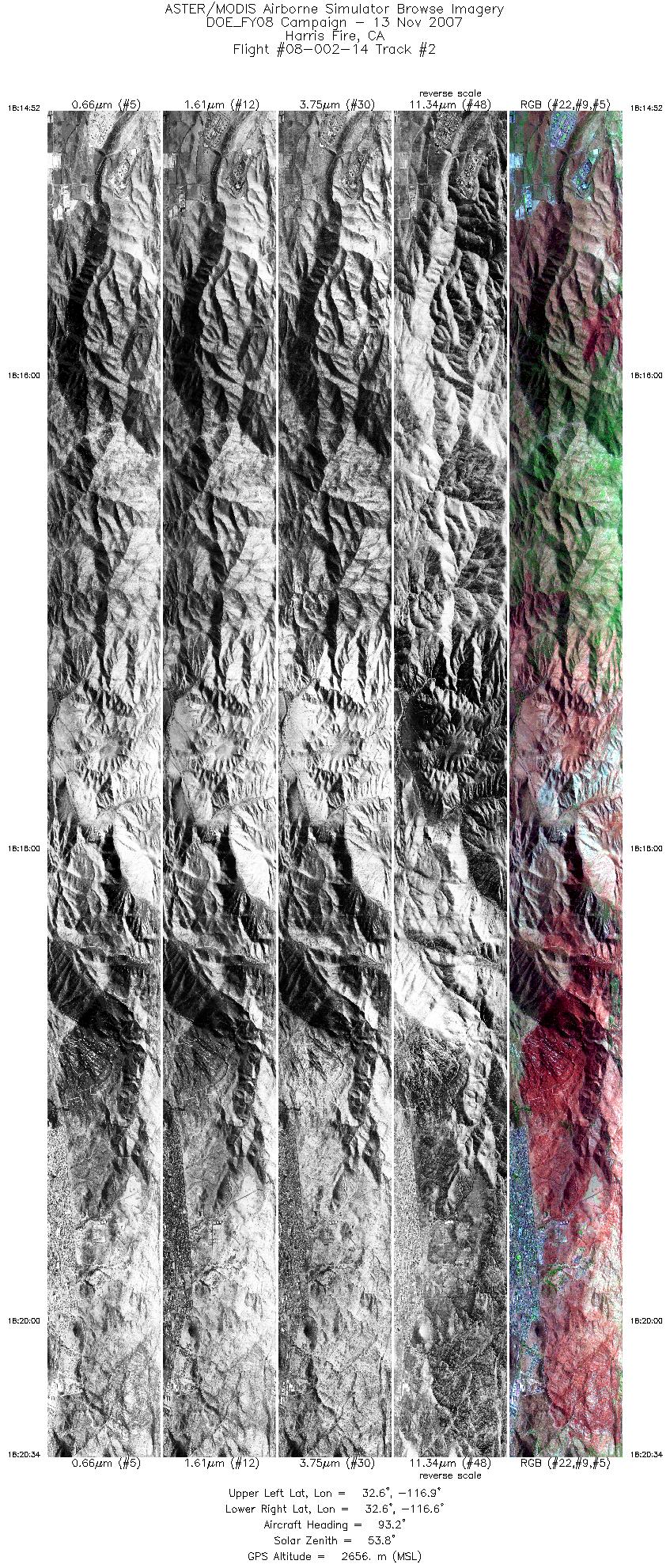
| 2 |
18:14 - 18:20 |
93.3 |
32.586 - 32.584 |
116.938 - 116.568 |
8511 |
2657 |
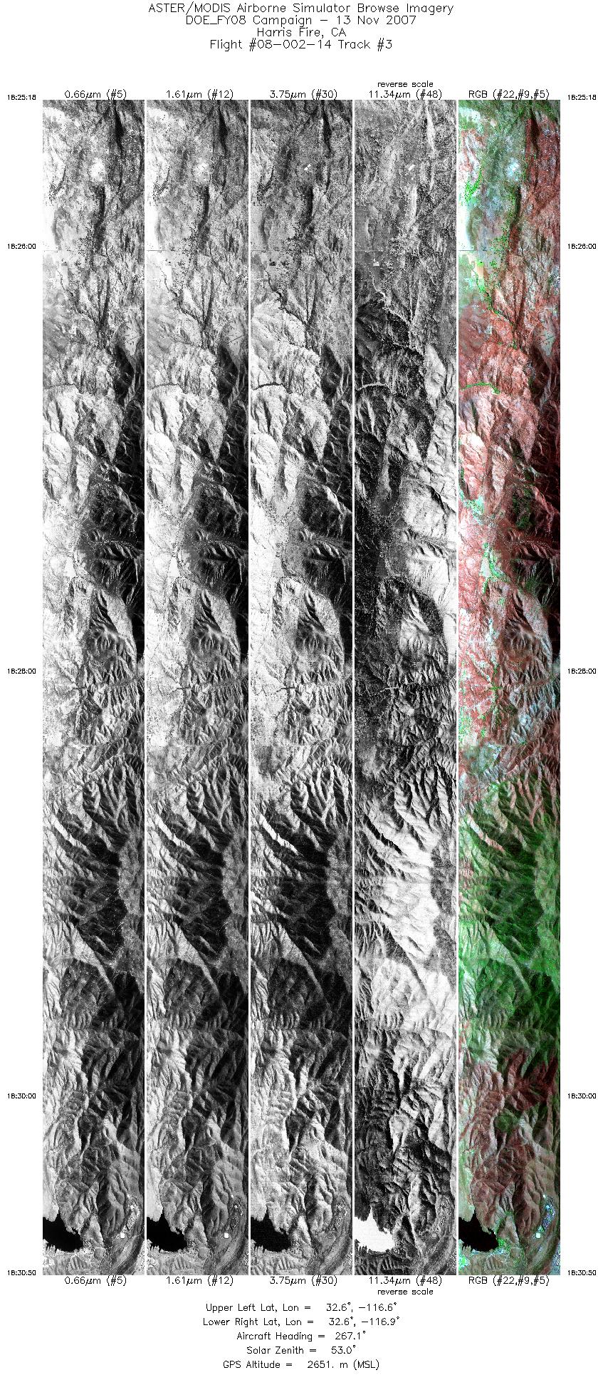
| 3 |
18:25 - 18:30 |
267.2 |
32.603 - 32.605 |
116.567 - 116.941 |
8249 |
2651 |
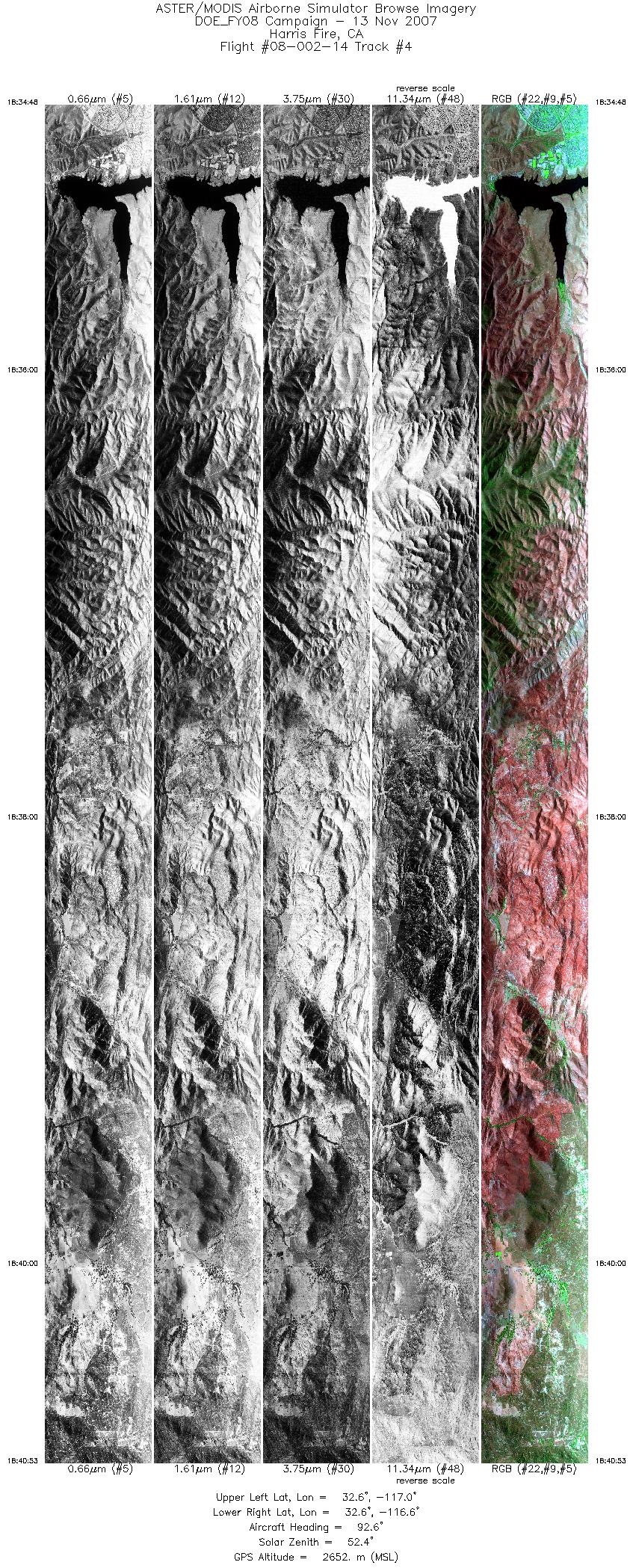
| 4 |
18:34 - 18:40 |
93.5 |
32.623 - 32.622 |
116.953 - 116.555 |
9085 |
2651 |
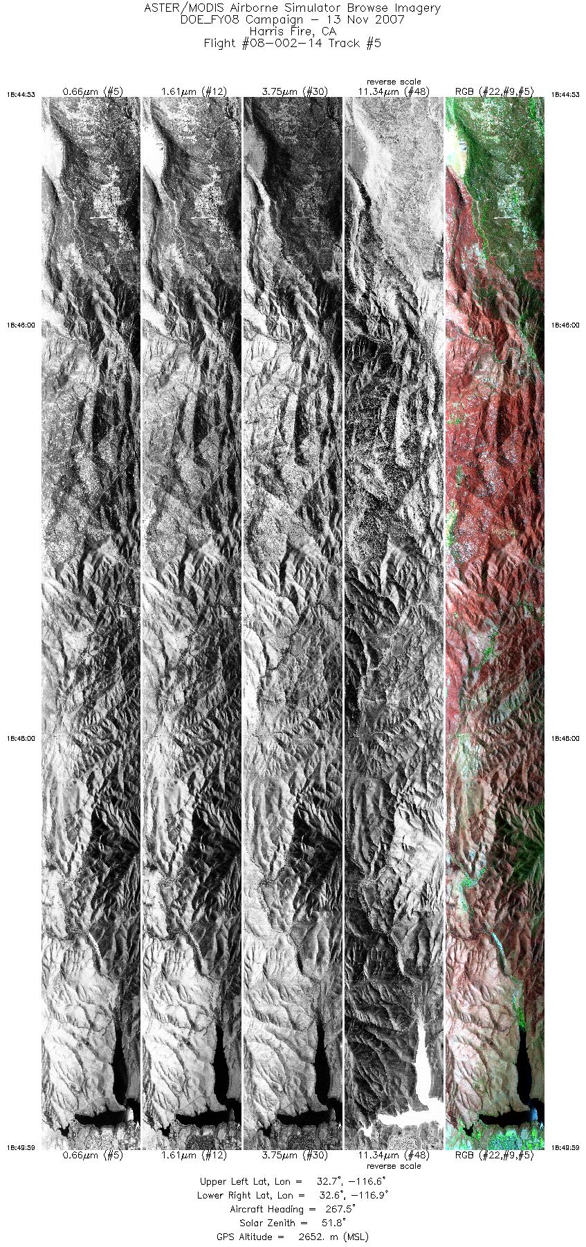
| 5 |
18:44 - 18:49 |
267.5 |
32.641 - 32.642 |
116.603 - 116.941 |
7605 |
2651 |
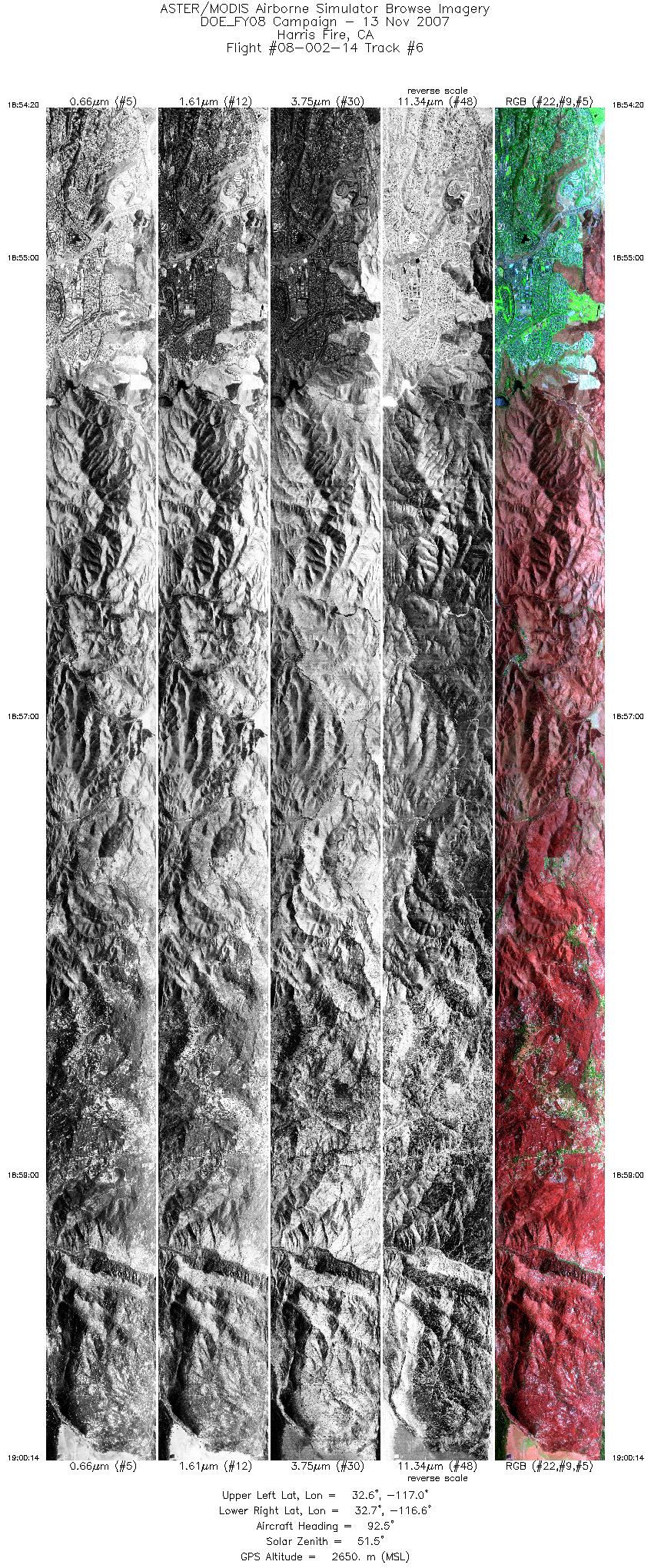
| 6 |
18:54 - 19:00 |
92.7 |
32.662 - 32.661 |
117.014 - 116.616 |
8806 |
2650 |
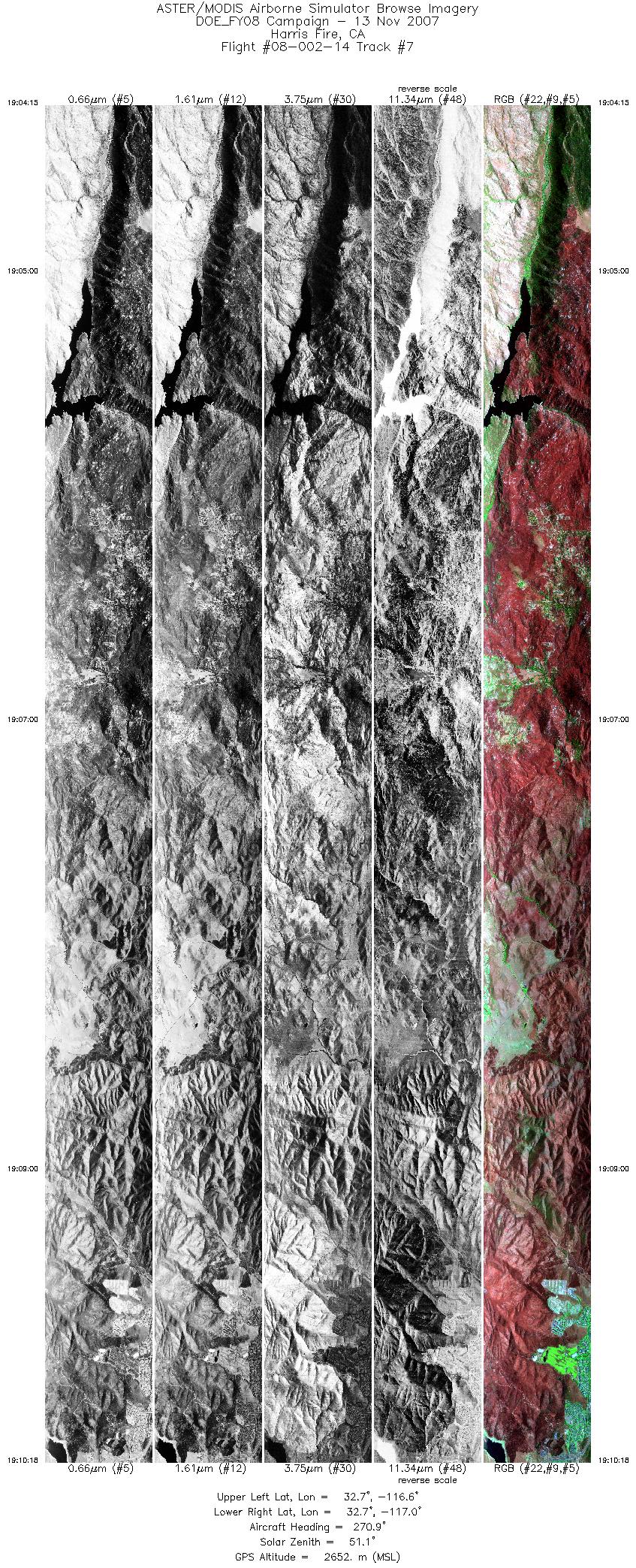
| 7 |
19:04 - 19:10 |
269.3 |
32.680 - 32.681 |
116.585 - 116.988 |
9038 |
2650 |
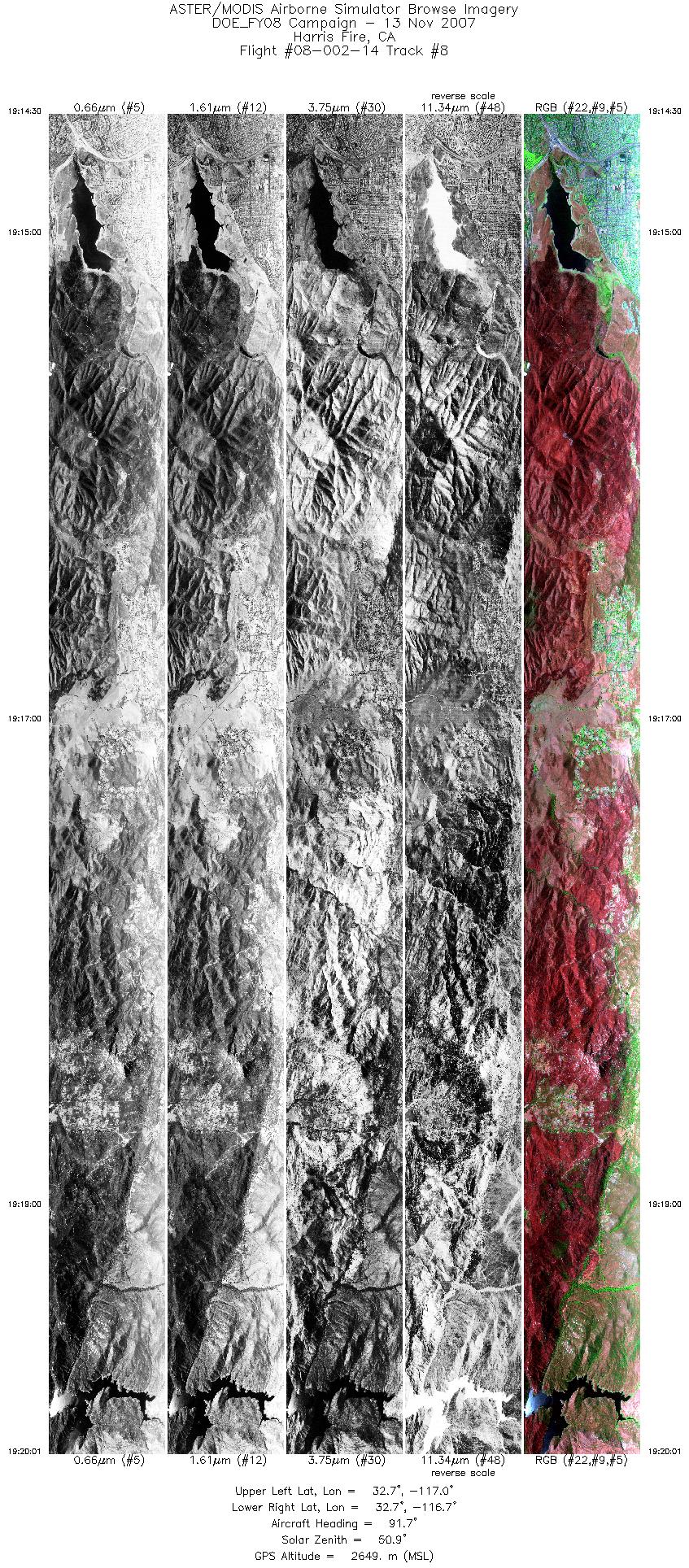
| 8 |
19:14 - 19:20 |
92.1 |
32.700 - 32.699 |
117.022 - 116.656 |
8244 |
2649 |
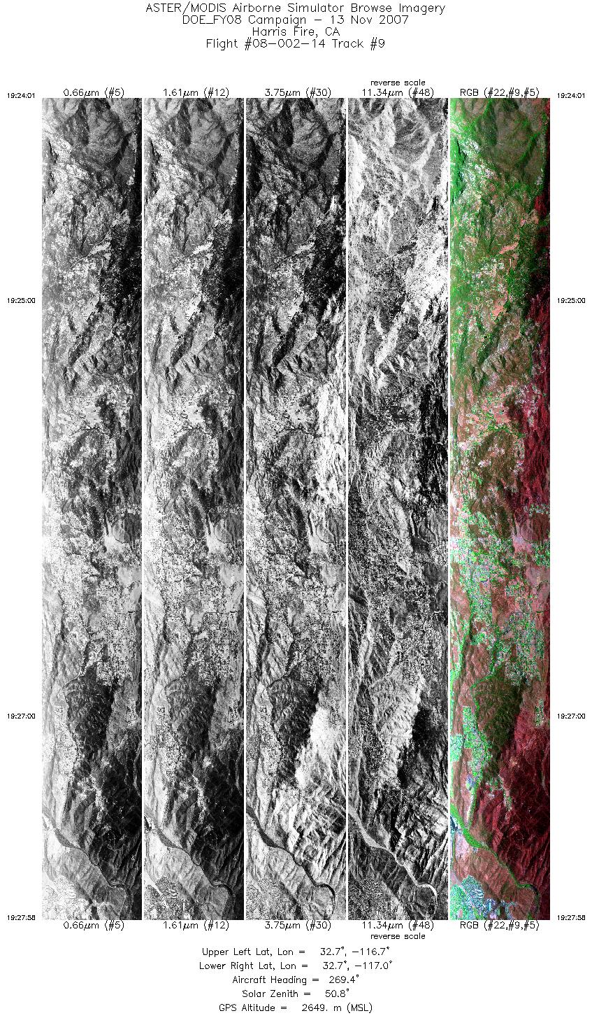
| 9 |
19:24 - 19:27 |
268.8 |
32.718 - 32.719 |
116.708 - 116.970 |
5879 |
2650 |
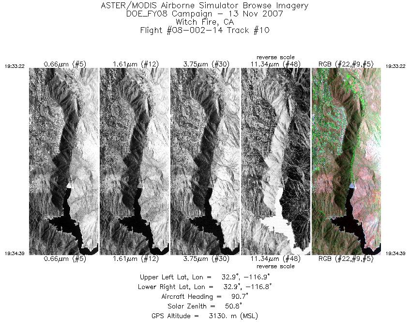
| 10 |
19:33 - 19:34 |
91.0 |
32.881 - 32.881 |
116.863 - 116.777 |
1930 |
3130 |
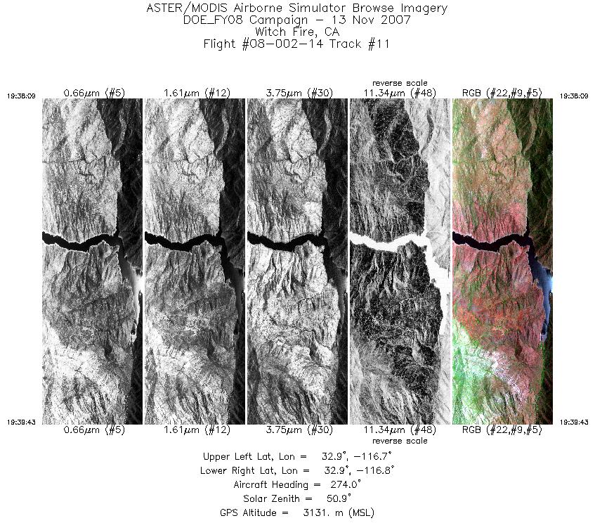
| 11 |
19:38 - 19:39 |
272.0 |
32.901 - 32.903 |
116.736 - 116.838 |
2322 |
3130 |
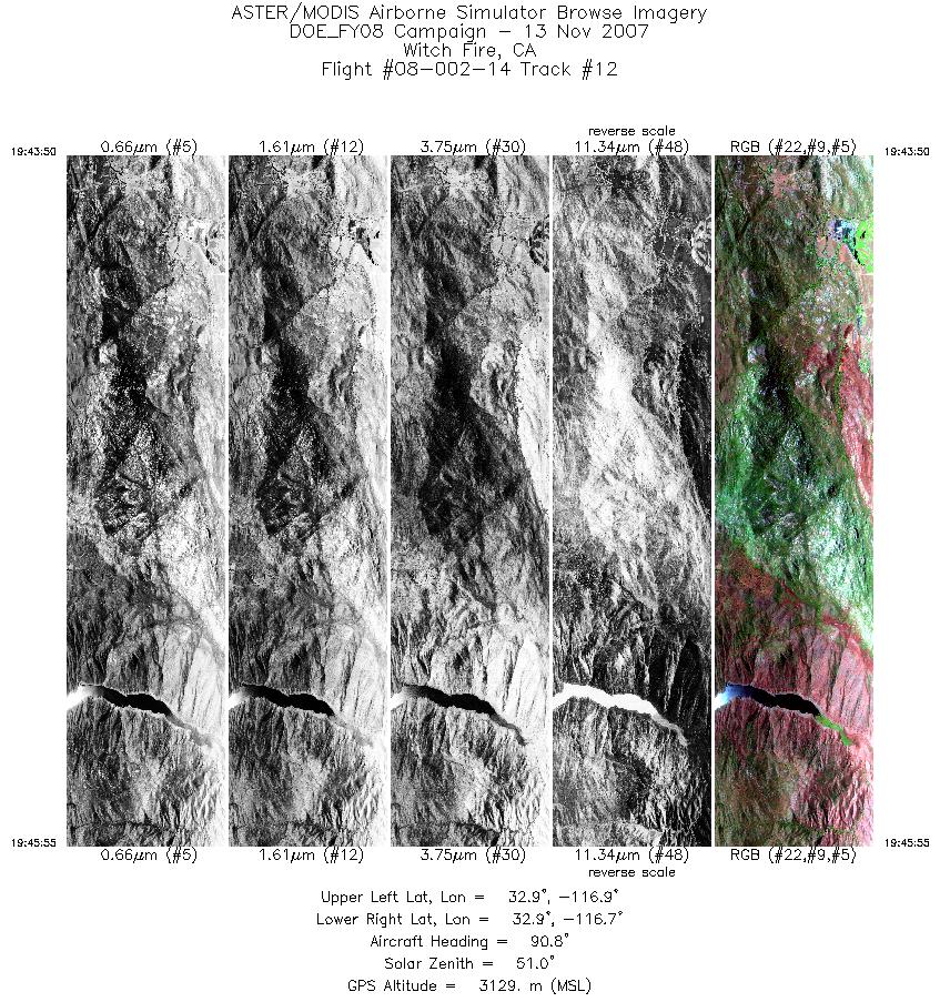
| 12 |
19:43 - 19:45 |
91.4 |
32.925 - 32.924 |
116.889 - 116.748 |
3115 |
3130 |
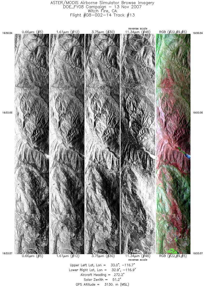
| 13 |
19:50 - 19:53 |
271.1 |
32.944 - 32.946 |
116.666 - 116.872 |
4556 |
3129 |
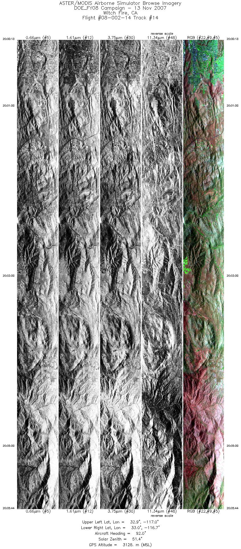
| 14 |
20:00 - 20:05 |
92.3 |
32.967 - 32.965 |
117.047 - 116.679 |
8235 |
3126 |
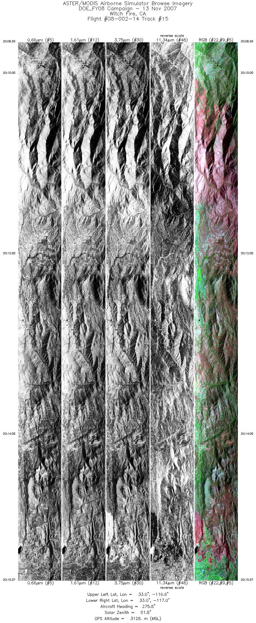
| 15 |
20:09 - 20:15 |
272.7 |
32.981 - 32.985 |
116.638 - 117.033 |
8906 |
3126 |
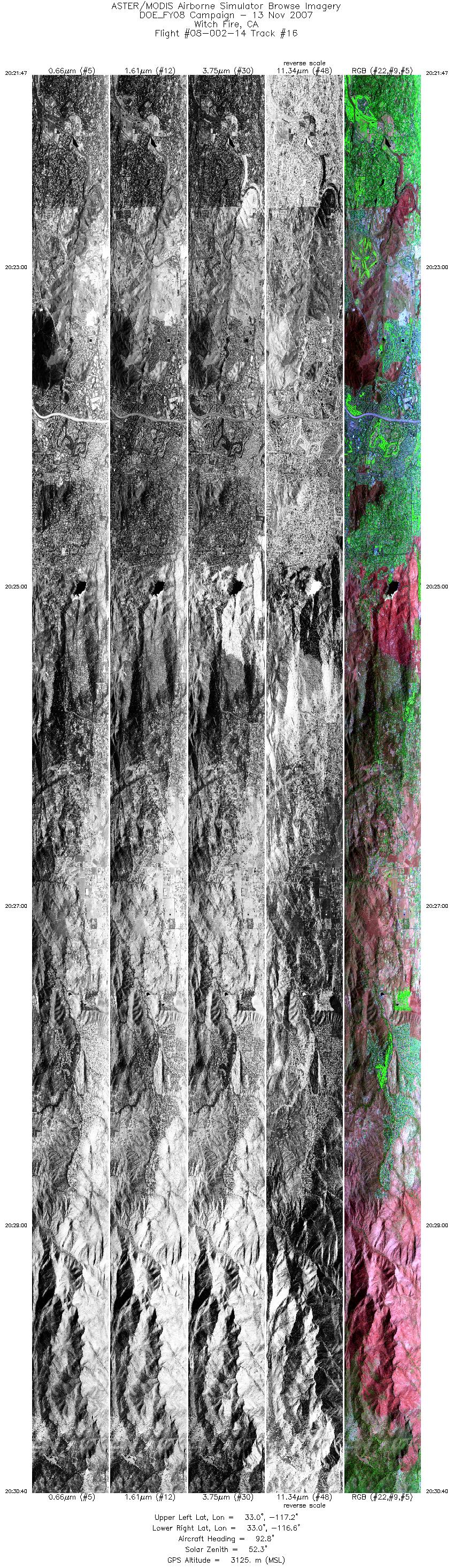
| 16 |
20:21 - 20:30 |
91.3 |
33.003 - 32.999 |
117.223 - 116.629 |
13259 |
3124 |
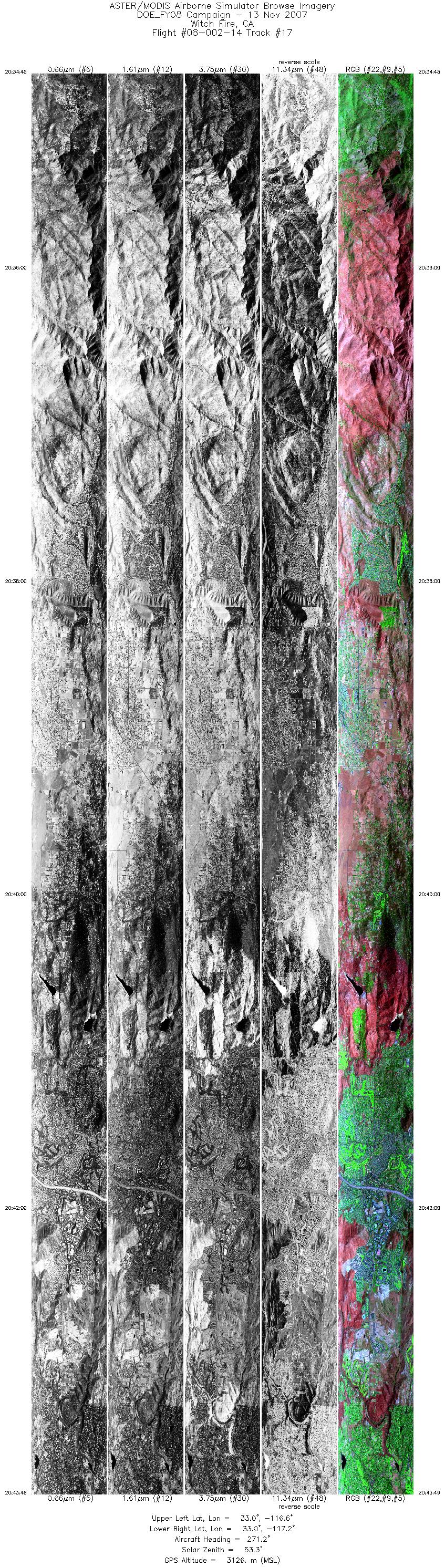
| 17 |
20:34 - 20:43 |
270.4 |
33.015 - 33.018 |
116.606 - 117.209 |
13528 |
3125 |
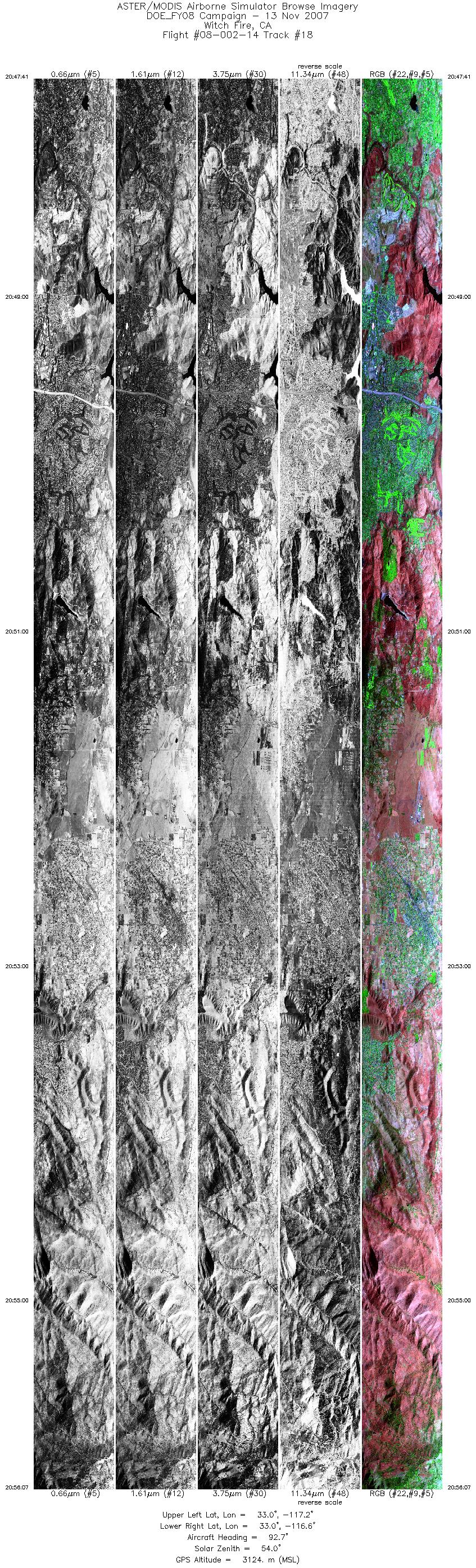
| 18 |
20:47 - 20:56 |
93.3 |
33.033 - 33.030 |
117.203 - 116.640 |
12562 |
3123 |
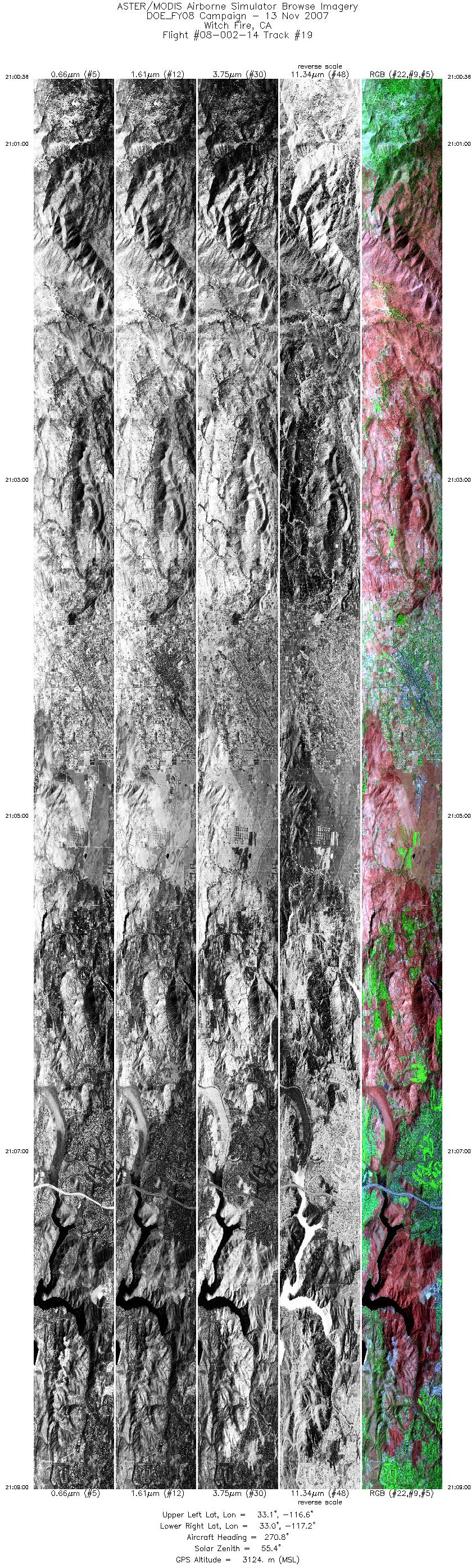
| 19 |
21:00 - 21:08 |
270.5 |
33.045 - 33.048 |
116.628 - 117.190 |
12531 |
3124 |
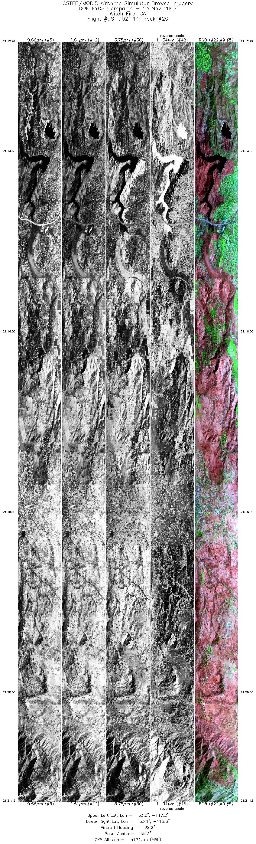
| 20 |
21:12 - 21:21 |
92.2 |
33.065 - 33.062 |
117.197 - 116.647 |
12554 |
3126 |
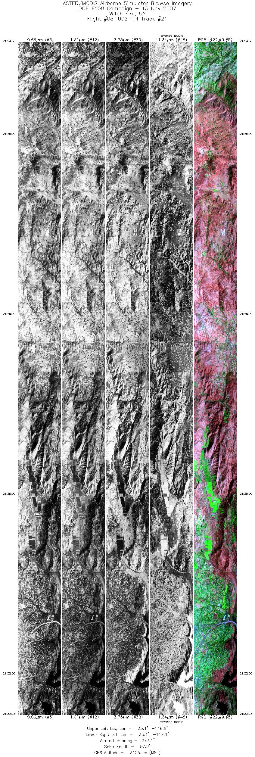
| 21 |
21:24 - 21:32 |
271.5 |
33.077 - 33.081 |
116.637 - 117.141 |
11171 |
3124 |
|


