


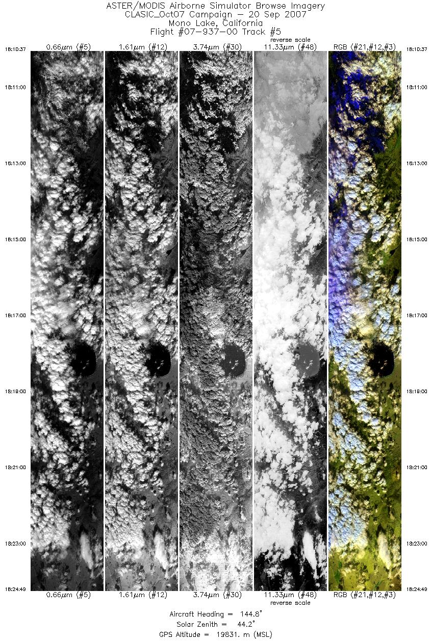
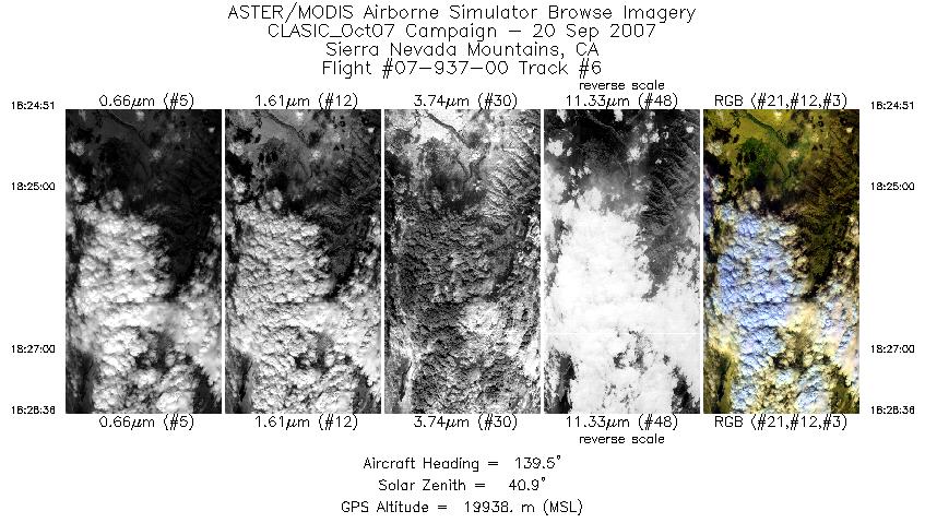
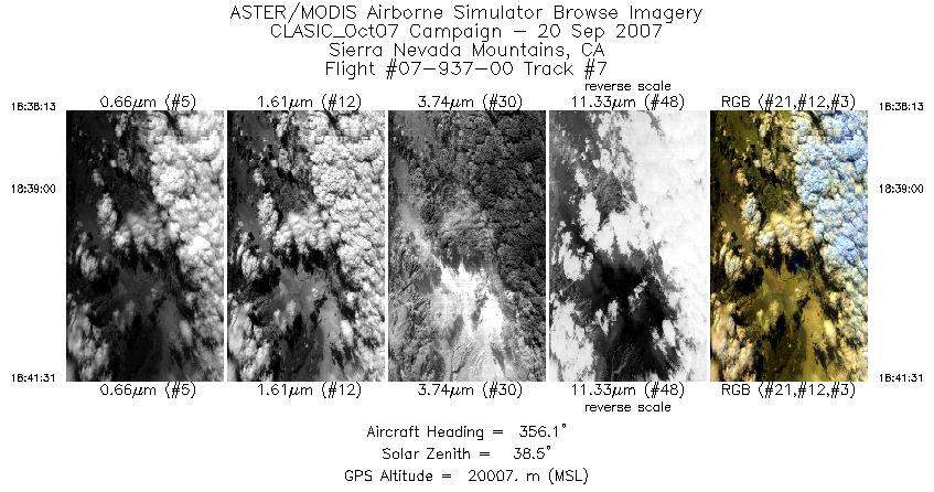
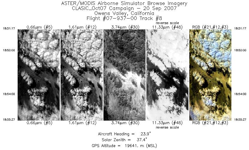
FLIGHT SUMMARY INFORMATION
Flight Track Map


|
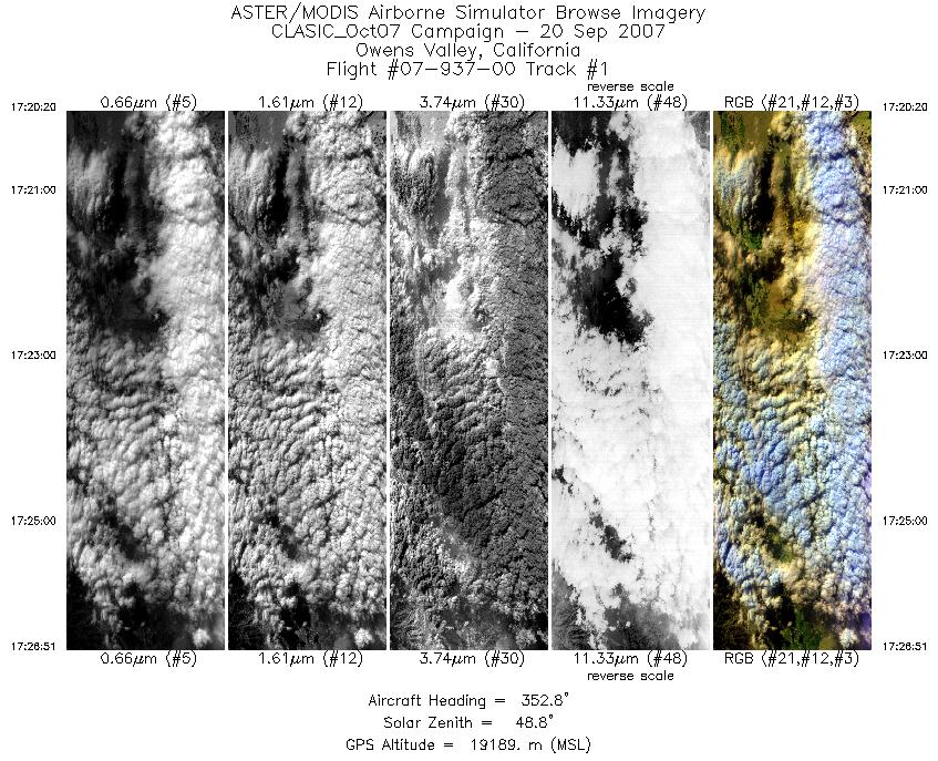
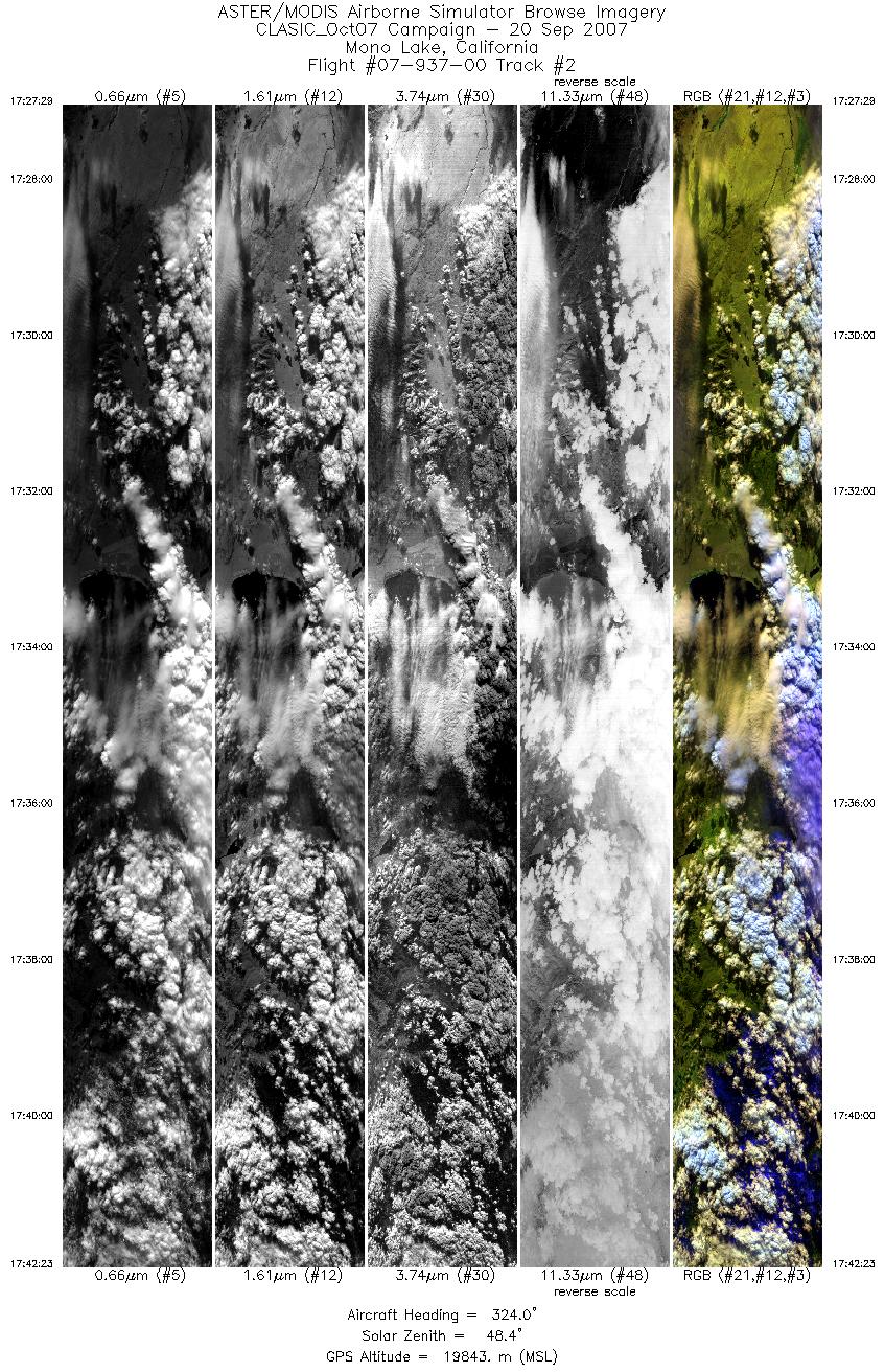
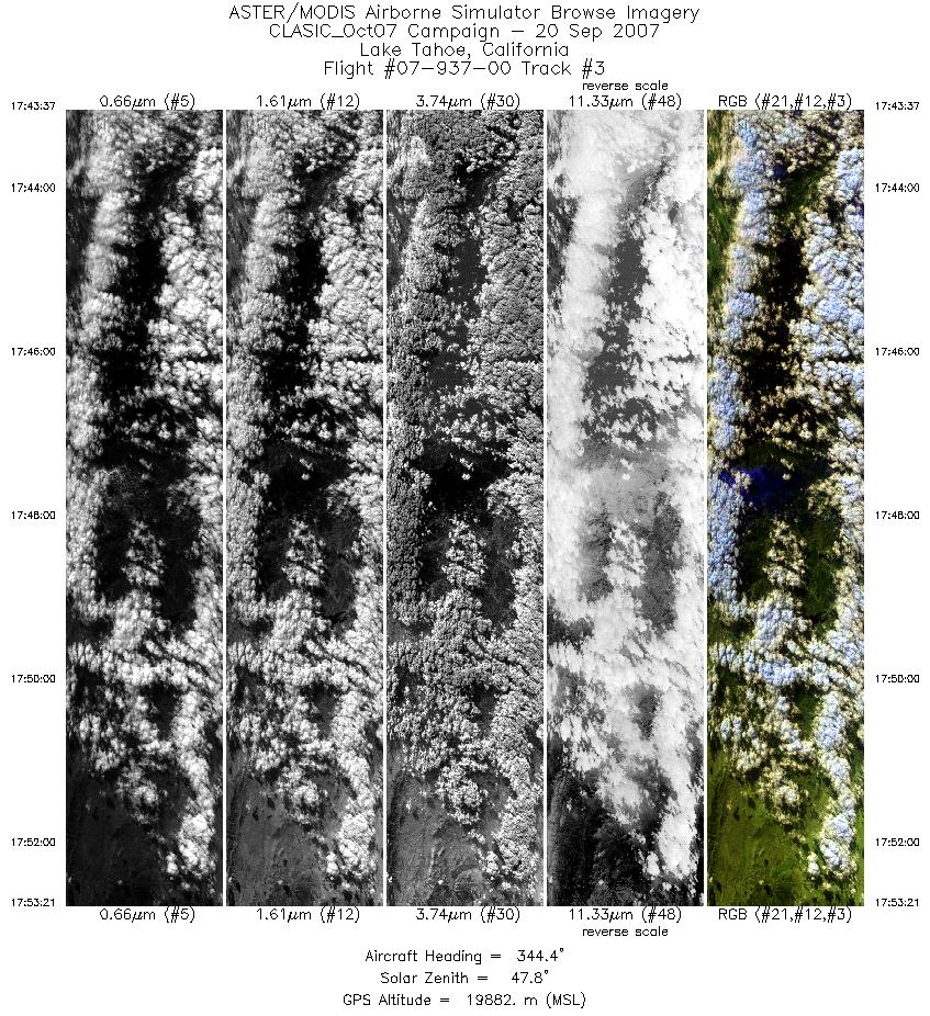
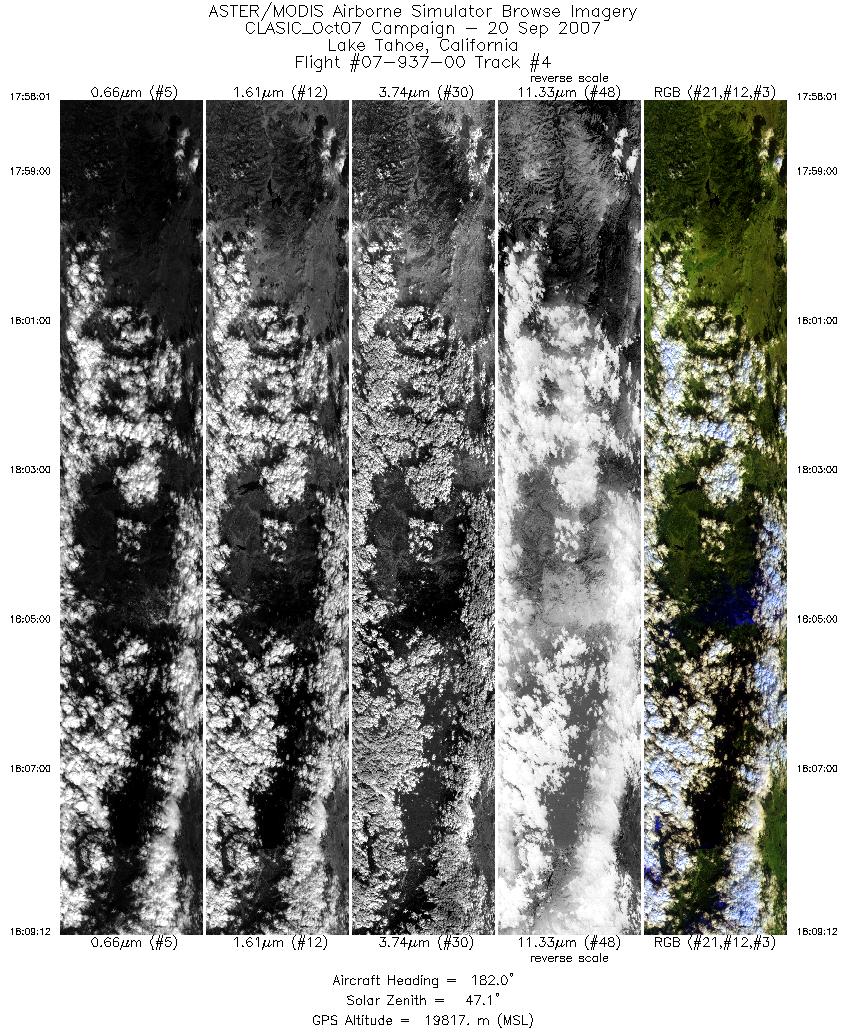
Flight: 07-937-00 Date: September 21, 2007 Aircraft: NASA ER-2, #809 Deployment: CLASIC Flight Location: Lake Tahoe, California Principal Investigator: F.C.F. Additional Sensors: CPL & CRS |
||||||||||||||||||||||||||||||||||||||||||||||||||||||||||||||||||||||||||||||||||||
|
Data Evaluation Overall data quality is good. |
||||||||||||||||||||||||||||||||||||||||||||||||||||||||||||||||||||||||||||||||||||
|
Processing Information Level-1B Data in HDF format is available Flight Line Summary Spectral Band Configuration Spectral Response Function Table Spectral Response Function (text) |
||||||||||||||||||||||||||||||||||||||||||||||||||||||||||||||||||||||||||||||||||||
|
Browse Imagery Flight Tracks: 8 Scanlines: 25294 |
||||||||||||||||||||||||||||||||||||||||||||||||||||||||||||||||||||||||||||||||||||
|
||||||||||||||||||||||||||||||||||||||||||||||||||||||||||||||||||||||||||||||||||||


