


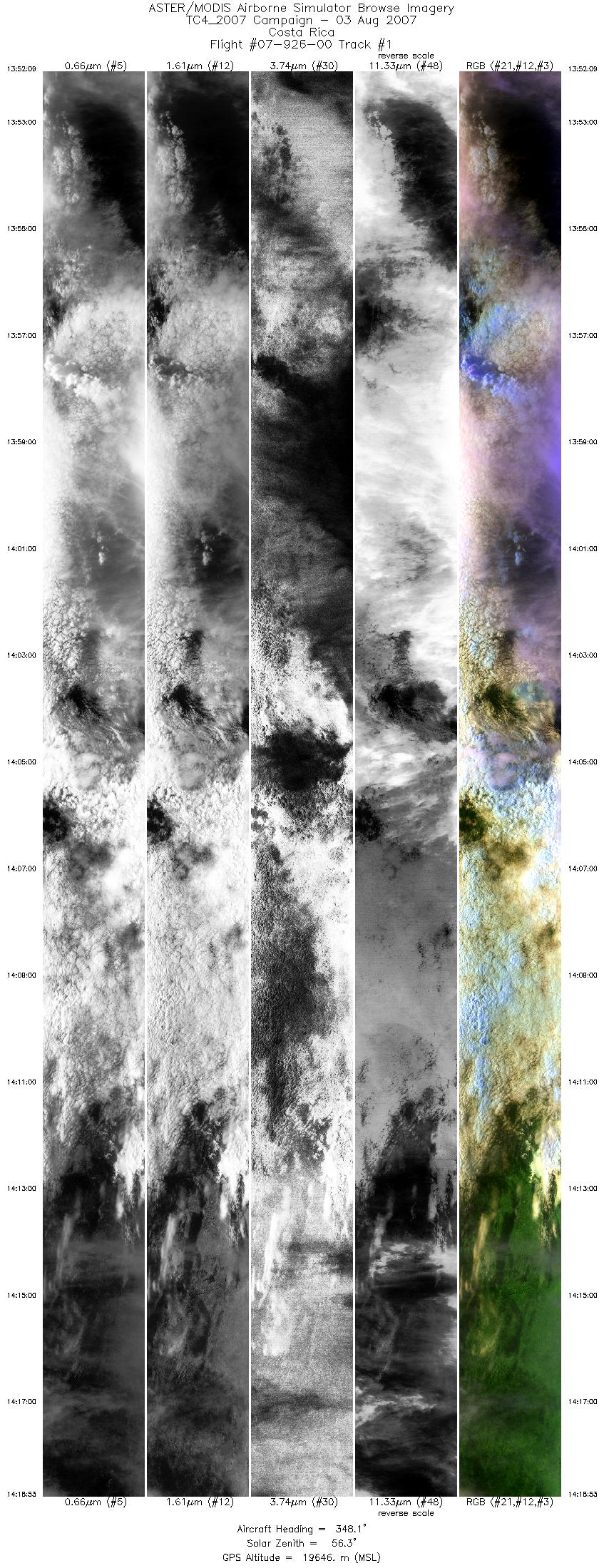
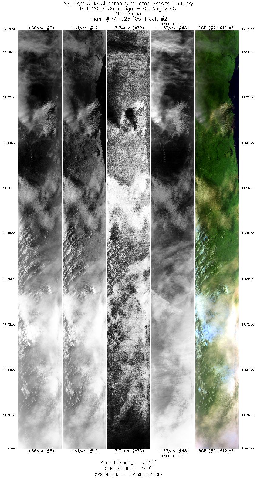
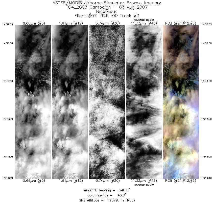
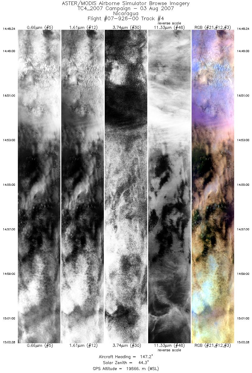
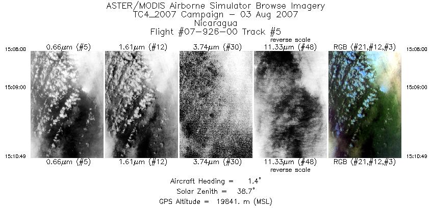
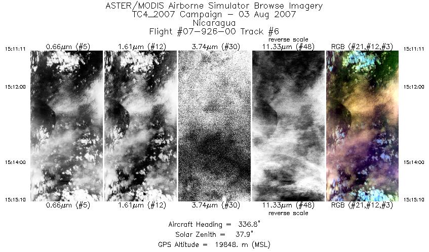
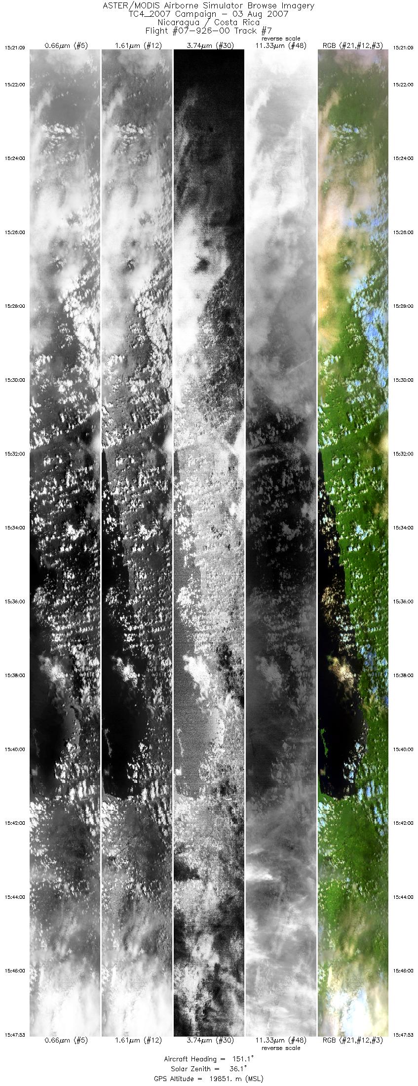
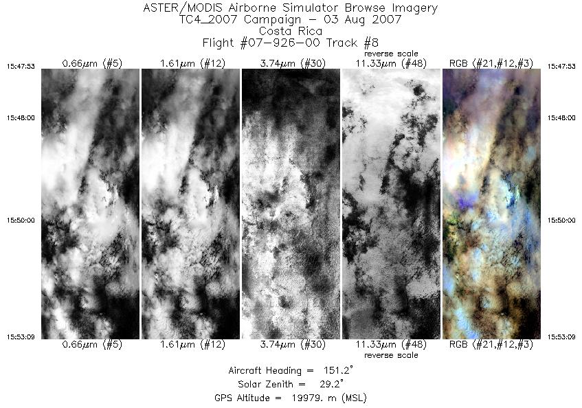
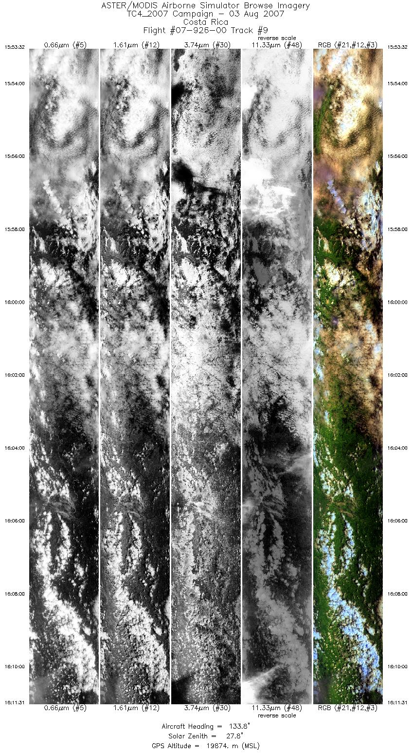
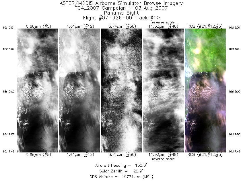
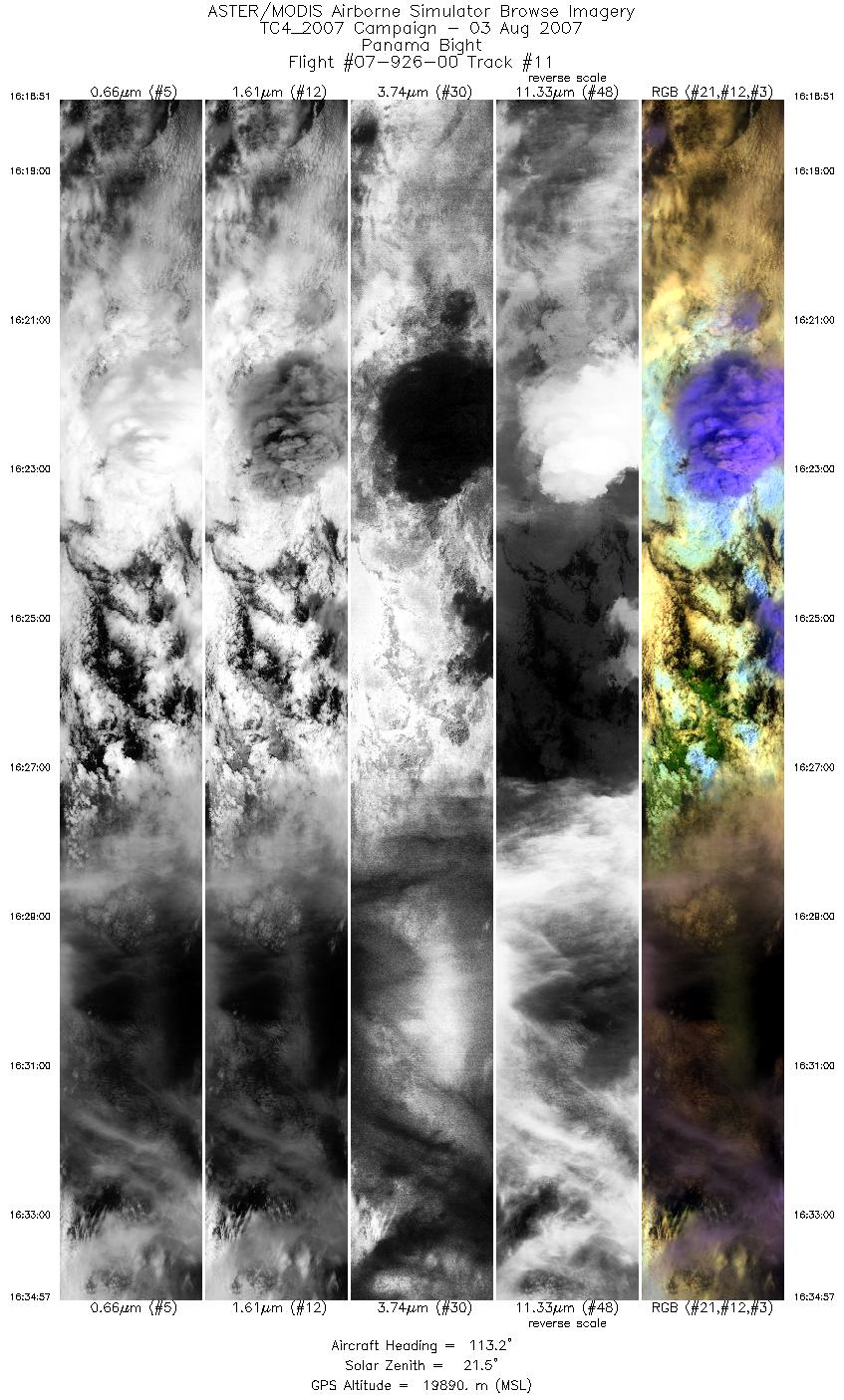
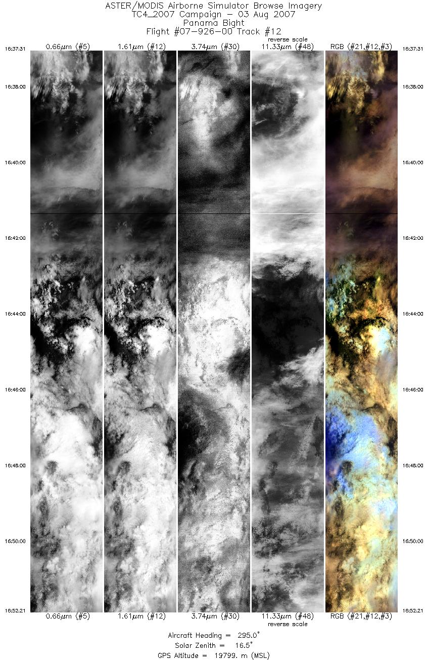
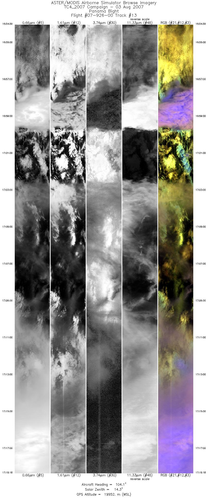
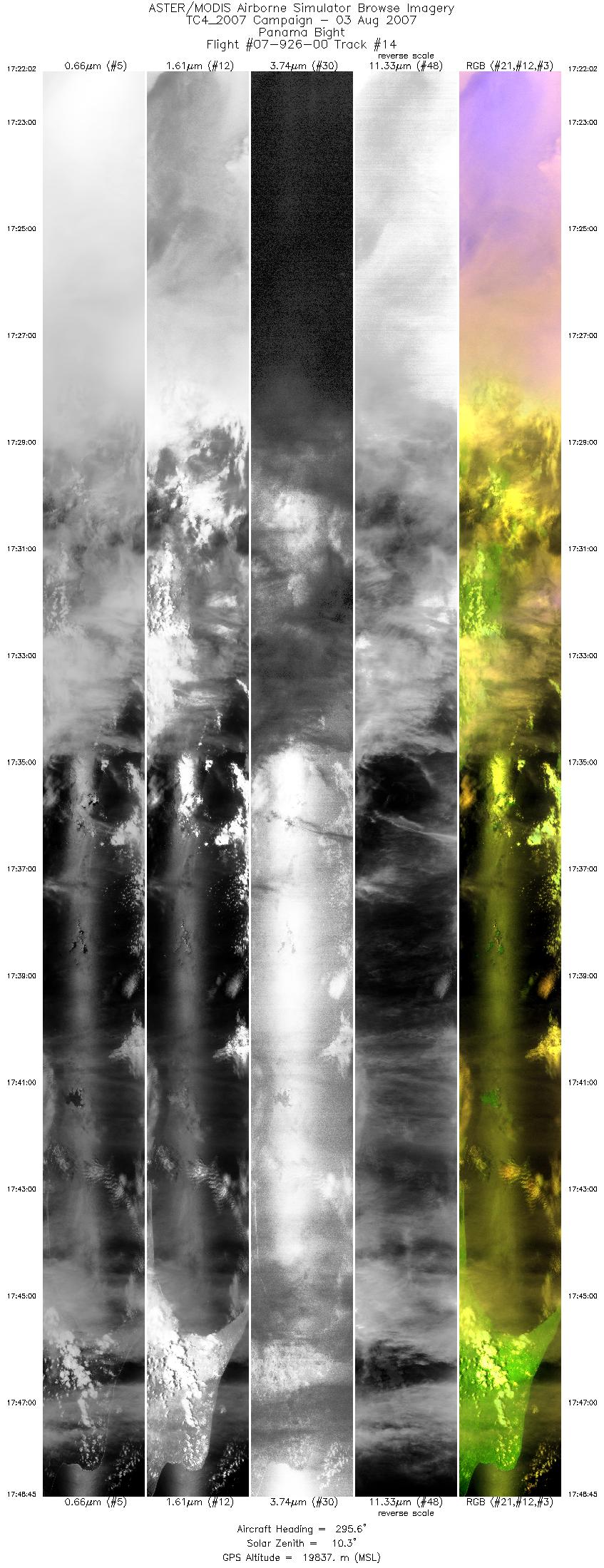
FLIGHT SUMMARY INFORMATION
Flight Track Map


|
Flight: 07-926-00 Date: August 03, 2007 Aircraft: NASA ER-2, #809 Deployment: TC4 Flight Location: Costa Rica, Nicaragua, Panama, & Pacific Ocean Principal Investigator: King (NASA GSFC) Additional Sensors: AMPR, BBIR, CoSSIR, CPL, CRS, EDOP, MTP, MVIS, S-HIS, & SSFR |
||||||||||||||||||||||||||||||||||||||||||||||||||||||||||||||||||||||||||||||||||||||||||||||||||||||||||||||||||||||||||||||
|
Data Evaluation Overall data quality is good. |
||||||||||||||||||||||||||||||||||||||||||||||||||||||||||||||||||||||||||||||||||||||||||||||||||||||||||||||||||||||||||||||
|
Processing Information Level-1B Data in HDF format is available Flight Line Summary Spectral Band Configuration Spectral Response Function Table Spectral Response Function (text) |
||||||||||||||||||||||||||||||||||||||||||||||||||||||||||||||||||||||||||||||||||||||||||||||||||||||||||||||||||||||||||||||
|
Browse Imagery Flight Tracks: 14 Scanlines: 79306 |
||||||||||||||||||||||||||||||||||||||||||||||||||||||||||||||||||||||||||||||||||||||||||||||||||||||||||||||||||||||||||||||
|
||||||||||||||||||||||||||||||||||||||||||||||||||||||||||||||||||||||||||||||||||||||||||||||||||||||||||||||||||||||||||||||


