Flight: 07-004-05
Date: September 02, 2007
Aircraft: DOE B200, #796
Deployment: RSL August 2007
Flight Location: Southern California
Principal Investigator: Peltzer (NASA-JPL)
Additional Sensors: None
|
Data Evaluation
Overall data quality is good.
|
Processing Information
Level-1B Data in HDF format is available
Flight Line Summary
Spectral Band Configuration
Spectral Response Function Table
Spectral Response Function (text)
|
Browse Imagery
Flight Tracks: 12
Scanlines: 45310
|
Browse Imagery Table
|
Click a Flight Track number to view a quicklook image
Lat/Lon ranges are for the BEG-END scanline nadir pixels
|
Flight
Track |
Time Span
(UTC) |
Heading
(Deg) |
Lat Range
(Deg N) |
Lon Range
(Deg W) |
Length
(Scanlines) |
Altitude
(Meters) |
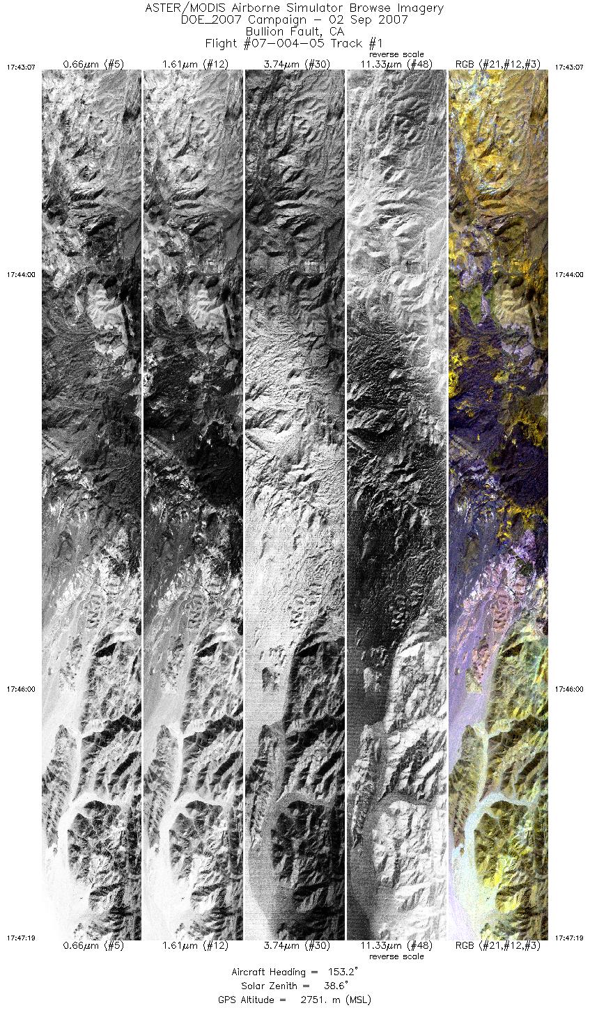
| 1 |
17:43 - 17:47 |
152.5 |
34.588 - 34.410 |
116.266 - 116.156 |
6257 |
2750 |
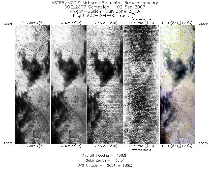
| 2 |
17:53 - 17:55 |
155.6 |
34.181 - 34.109 |
115.932 - 115.898 |
2403 |
2655 |
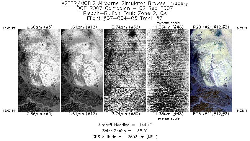
| 3 |
18:02 - 18:03 |
145.3 |
34.128 - 34.090 |
115.911 - 115.883 |
1402 |
2654 |
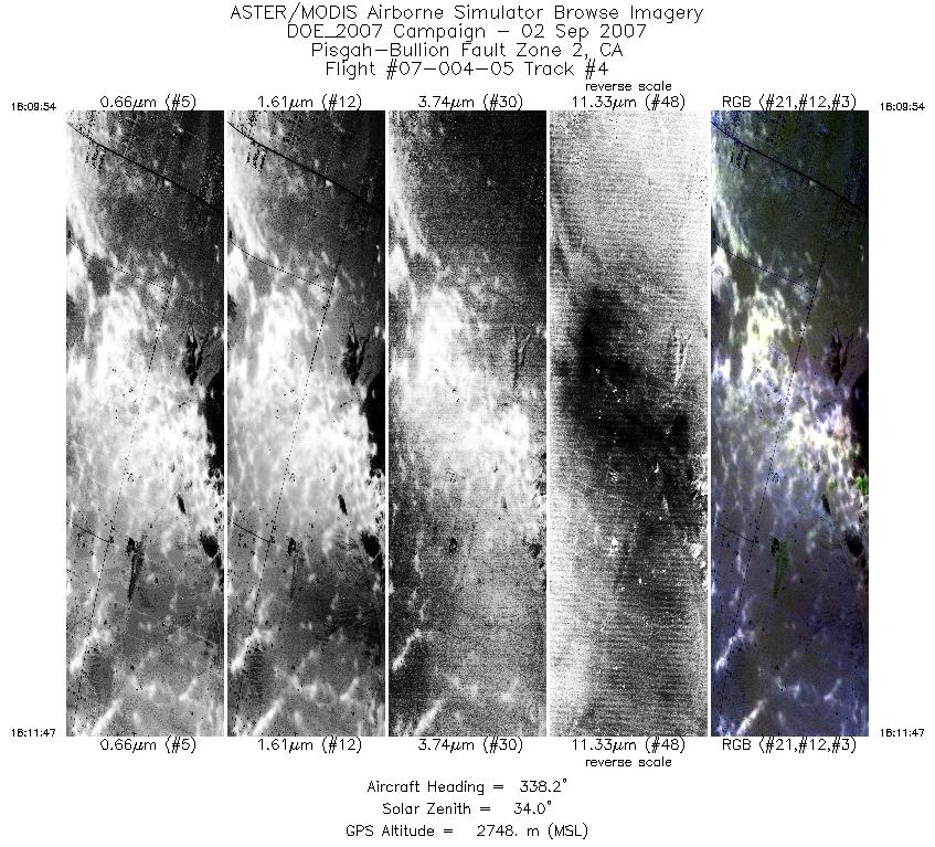
| 4 |
18:09 - 18:11 |
340.2 |
34.128 - 34.210 |
116.135 - 116.169 |
2839 |
2749 |
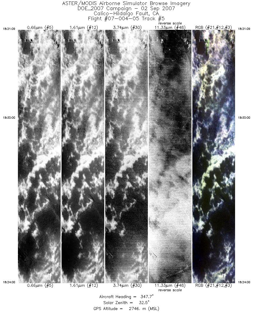
| 5 |
18:21 - 18:24 |
350.2 |
34.179 - 34.314 |
116.161 - 116.189 |
4250 |
2746 |
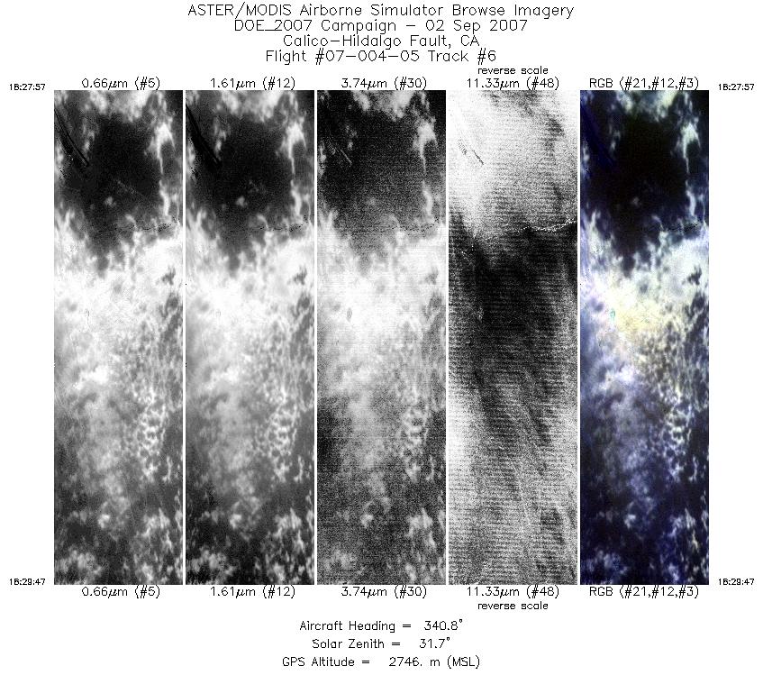
| 6 |
18:27 - 18:29 |
340.0 |
34.287 - 34.369 |
116.177 - 116.216 |
2745 |
2746 |
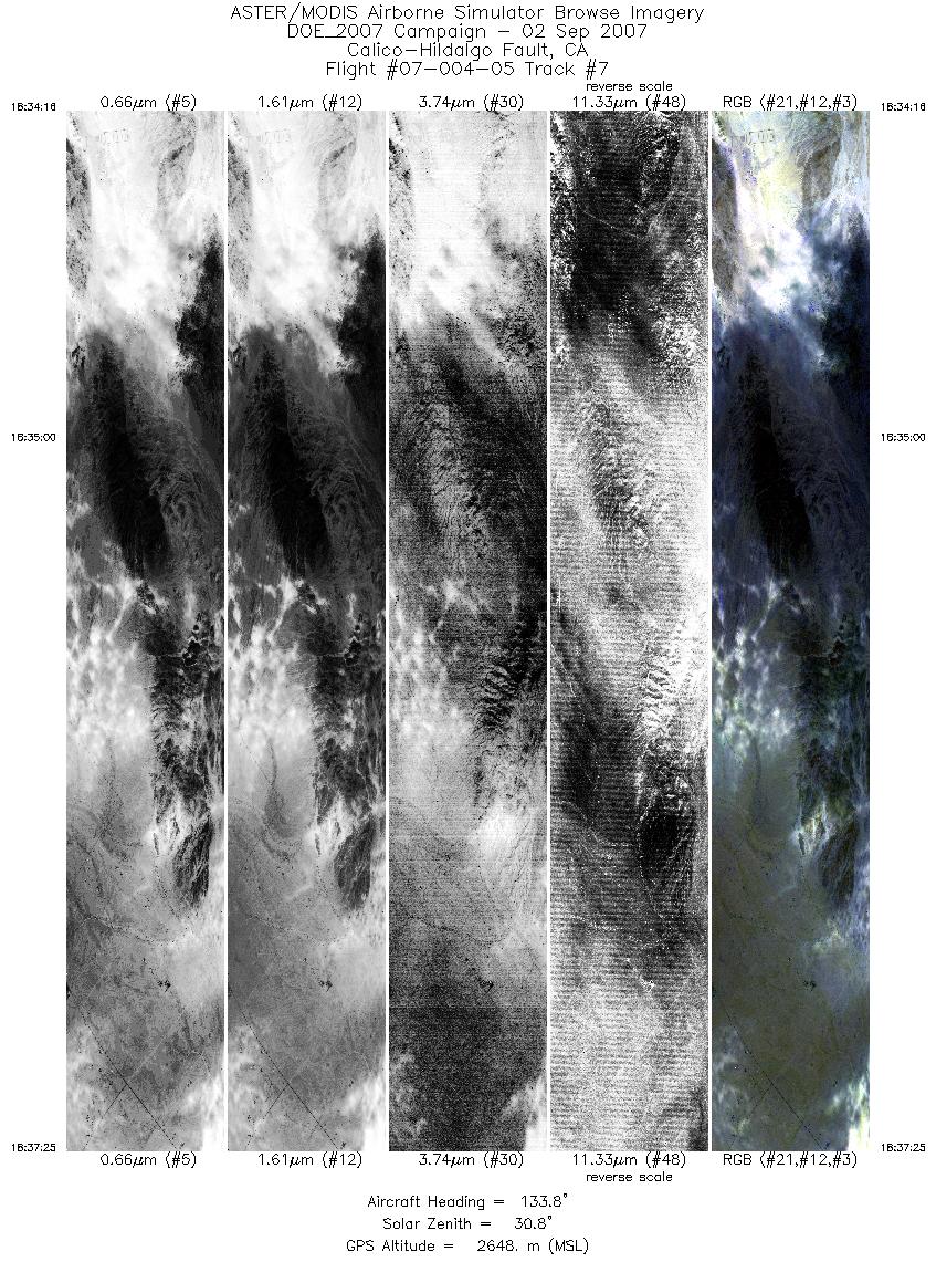
| 7 |
18:34 - 18:37 |
133.8 |
34.269 - 34.160 |
116.047 - 115.919 |
4705 |
2648 |
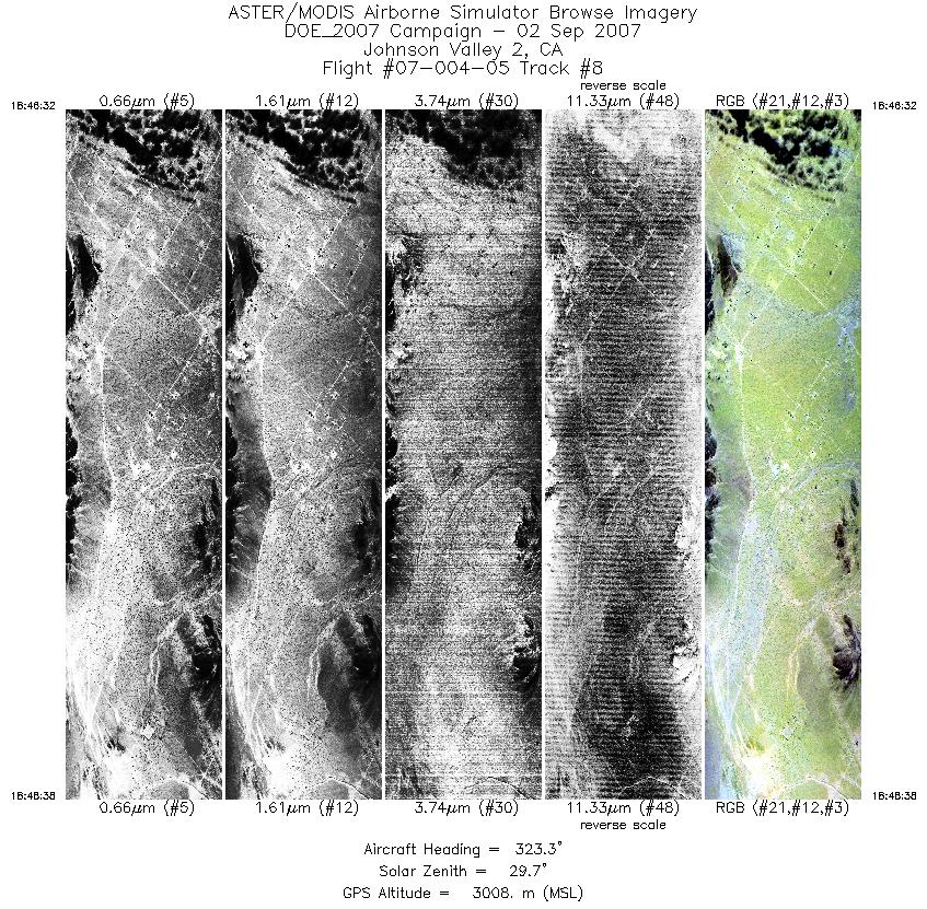
| 8 |
18:46 - 18:48 |
322.7 |
34.320 - 34.402 |
116.437 - 116.517 |
3157 |
3005 |
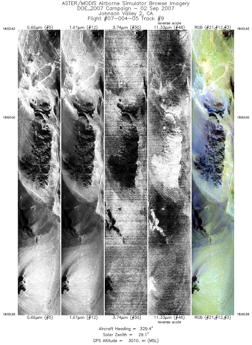
| 9 |
18:52 - 18:55 |
331.3 |
34.382 - 34.519 |
116.502 - 116.590 |
4800 |
3010 |
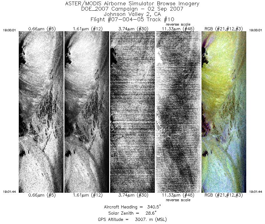
| 10 |
19:00 - 19:01 |
339.6 |
34.493 - 34.570 |
116.577 - 116.614 |
2588 |
3006 |
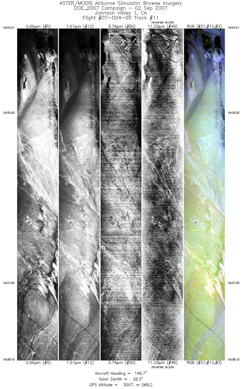
| 11 |
19:04 - 19:08 |
147.5 |
34.509 - 34.351 |
116.686 - 116.573 |
5813 |
3008 |
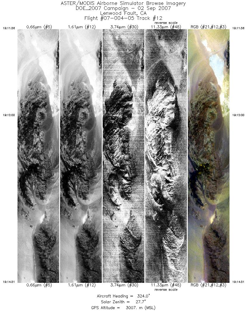
| 12 |
19:11 - 19:14 |
324.3 |
34.441 - 34.551 |
116.670 - 116.767 |
4351 |
3008 |
|


