Flight: 07-004-03
Date: August 31, 2007
Aircraft: DOE B200, #796
Deployment: RSL August 2007
Flight Location: Southern California
Principal Investigator: Peltzer (NASA-JPL)
Additional Sensors: None
|
Data Evaluation
Overall data quality is good.
|
Processing Information
Level-1B Data in HDF format is available
Flight Line Summary
Spectral Band Configuration
Spectral Response Function Table
Spectral Response Function (text)
|
Browse Imagery
Flight Tracks: 12
Scanlines: 44647
|
Browse Imagery Table
|
Click a Flight Track number to view a quicklook image
Lat/Lon ranges are for the BEG-END scanline nadir pixels
|
Flight
Track |
Time Span
(UTC) |
Heading
(Deg) |
Lat Range
(Deg N) |
Lon Range
(Deg W) |
Length
(Scanlines) |
Altitude
(Meters) |
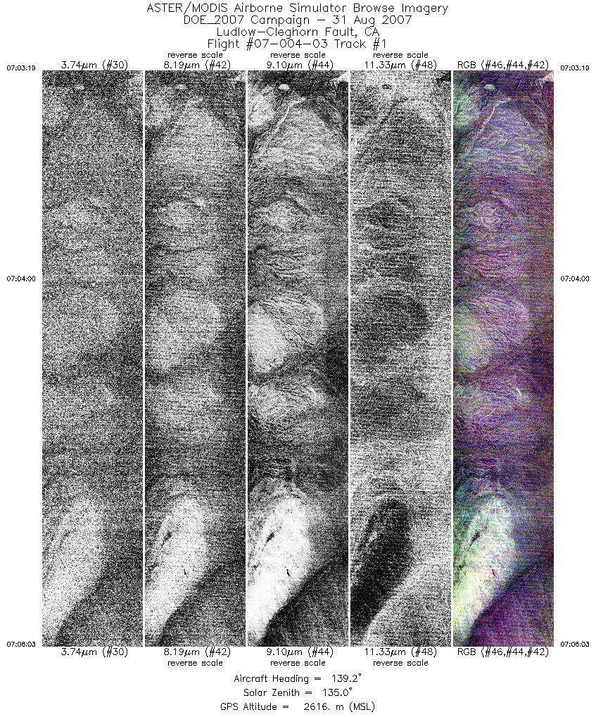
| 1 |
07:03 - 07:06 |
138.3 |
34.999 - 34.908 |
116.290 - 116.191 |
4099 |
2615 |
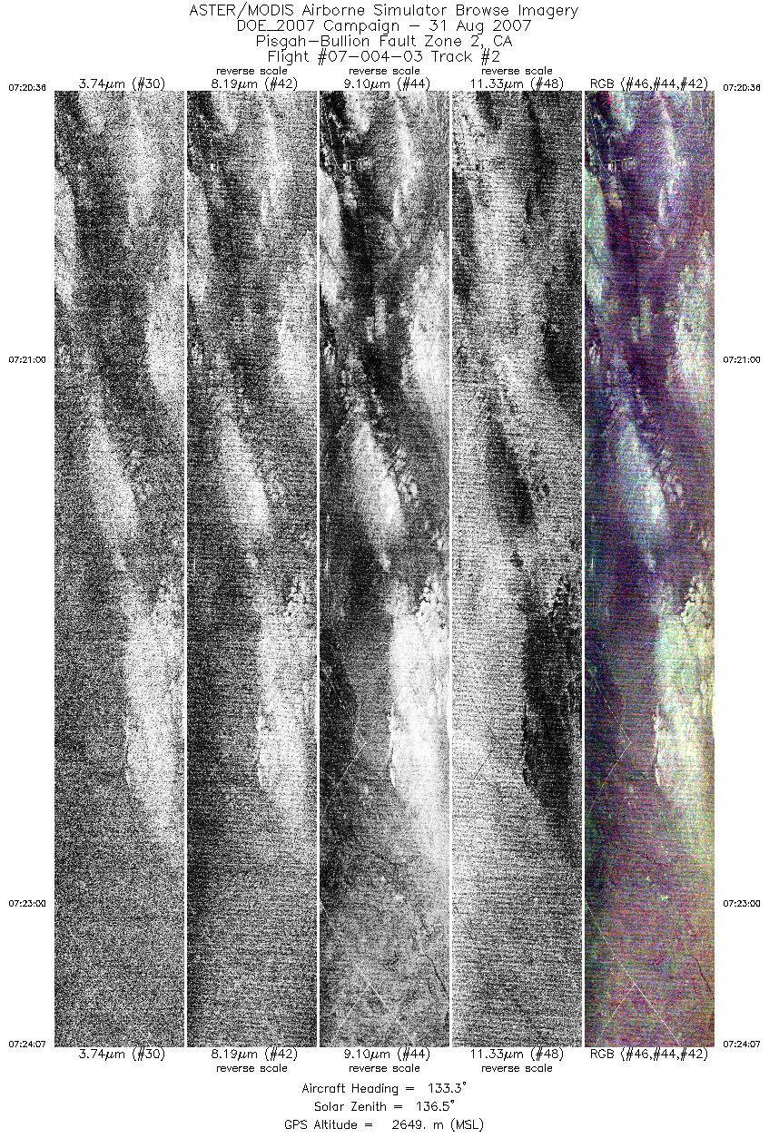
| 2 |
07:20 - 07:24 |
133.5 |
34.275 - 34.160 |
116.054 - 115.918 |
5272 |
2647 |
| 3 |
07:32 - 07:34 |
156.8 |
34.184 - 34.108 |
115.933 - 115.898 |
2714 |
2646 |
| 4 |
07:38 - 07:39 |
148.3 |
34.137 - 34.091 |
115.915 - 115.884 |
1729 |
2649 |
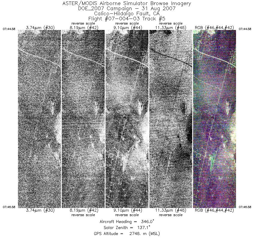
| 5 |
07:44 - 07:46 |
344.0 |
34.122 - 34.210 |
116.134 - 116.169 |
2974 |
2749 |
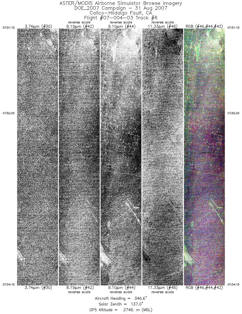
| 6 |
07:51 - 07:54 |
349.0 |
34.175 - 34.314 |
116.161 - 116.189 |
4496 |
2747 |
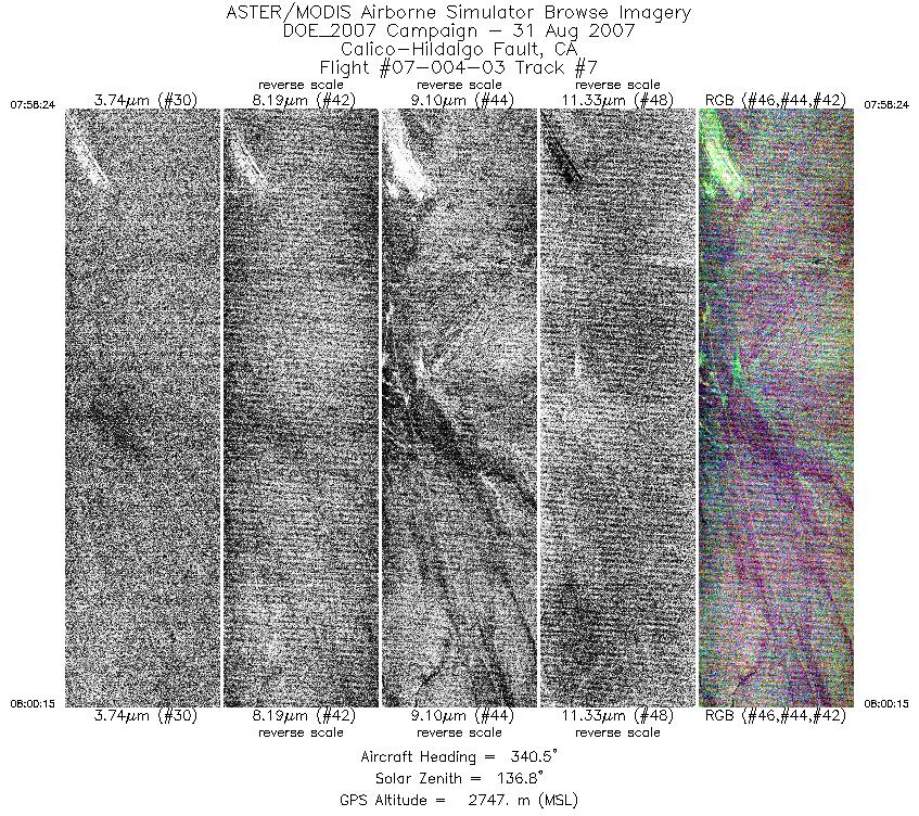
| 7 |
07:58 - 08:00 |
339.3 |
34.289 - 34.371 |
116.178 - 116.216 |
2764 |
2748 |
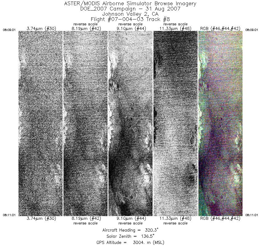
| 8 |
08:09 - 08:11 |
320.5 |
34.327 - 34.401 |
116.445 - 116.517 |
2998 |
3004 |
| 9 |
08:15 - 08:18 |
329.2 |
34.382 - 34.522 |
116.502 - 116.592 |
5027 |
3005 |
| 10 |
08:22 - 08:24 |
336.5 |
34.495 - 34.570 |
116.576 - 116.615 |
2565 |
3004 |
| 11 |
08:34 - 08:38 |
329.5 |
34.341 - 34.496 |
116.566 - 116.676 |
5659 |
3015 |
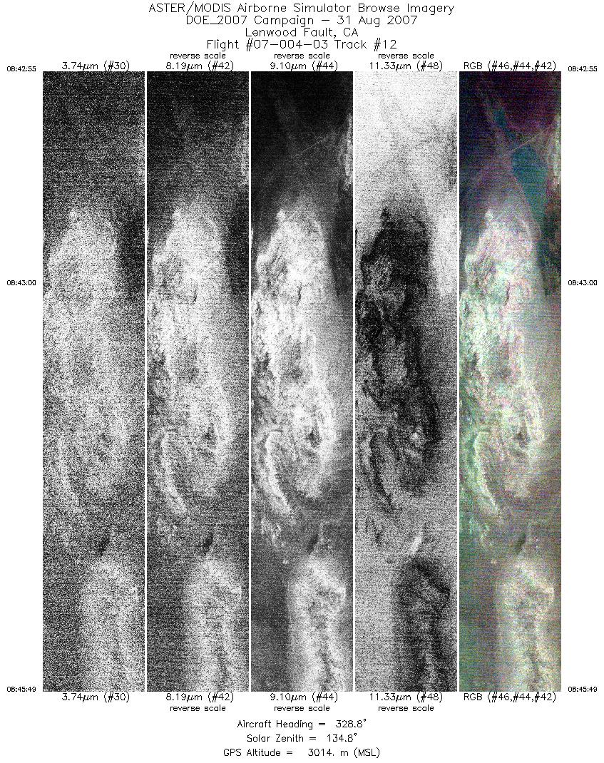
| 12 |
08:42 - 08:45 |
326.3 |
34.438 - 34.550 |
116.668 - 116.766 |
4350 |
3015 |
|


