


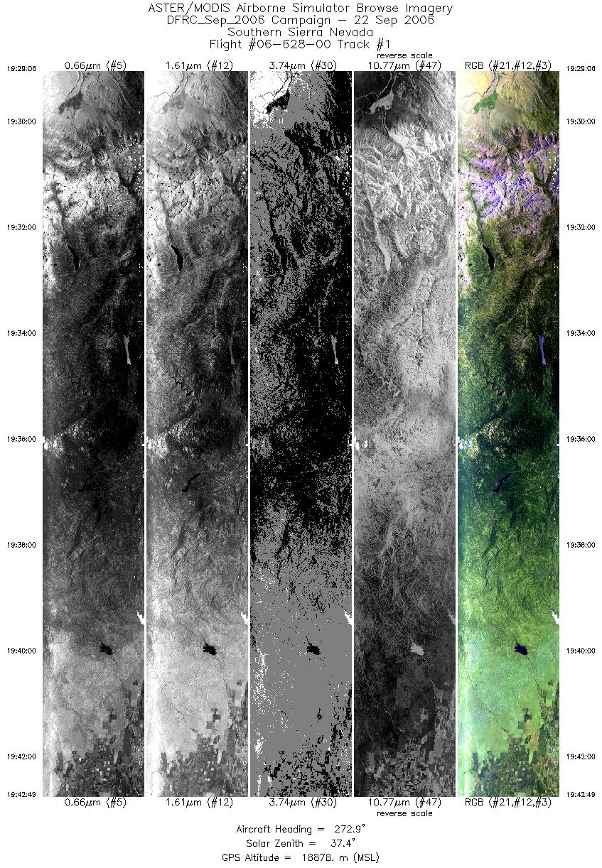
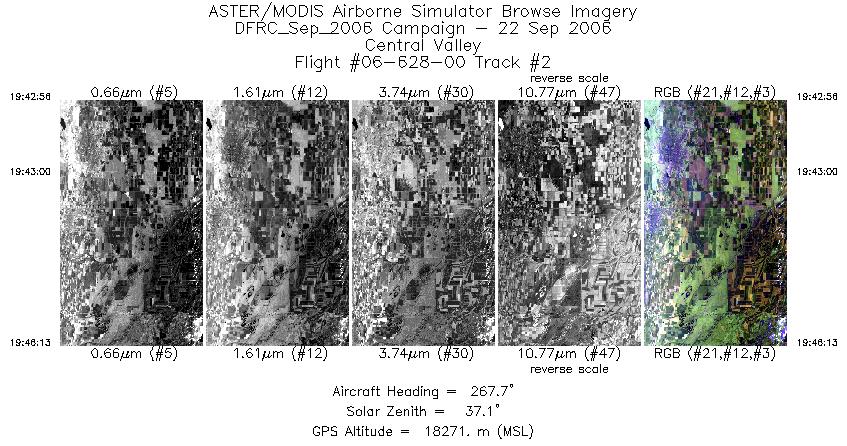
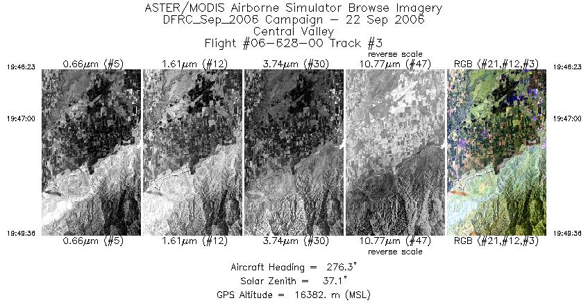
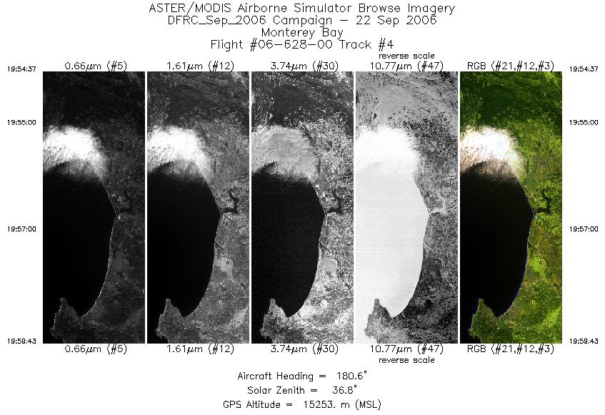
FLIGHT SUMMARY INFORMATION
Flight Track Map


|
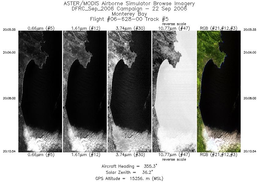
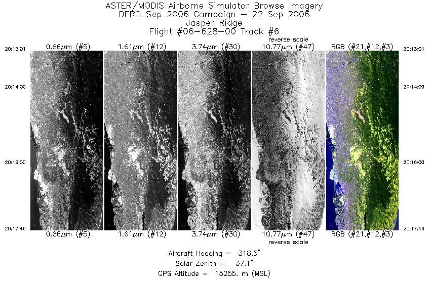
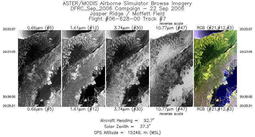
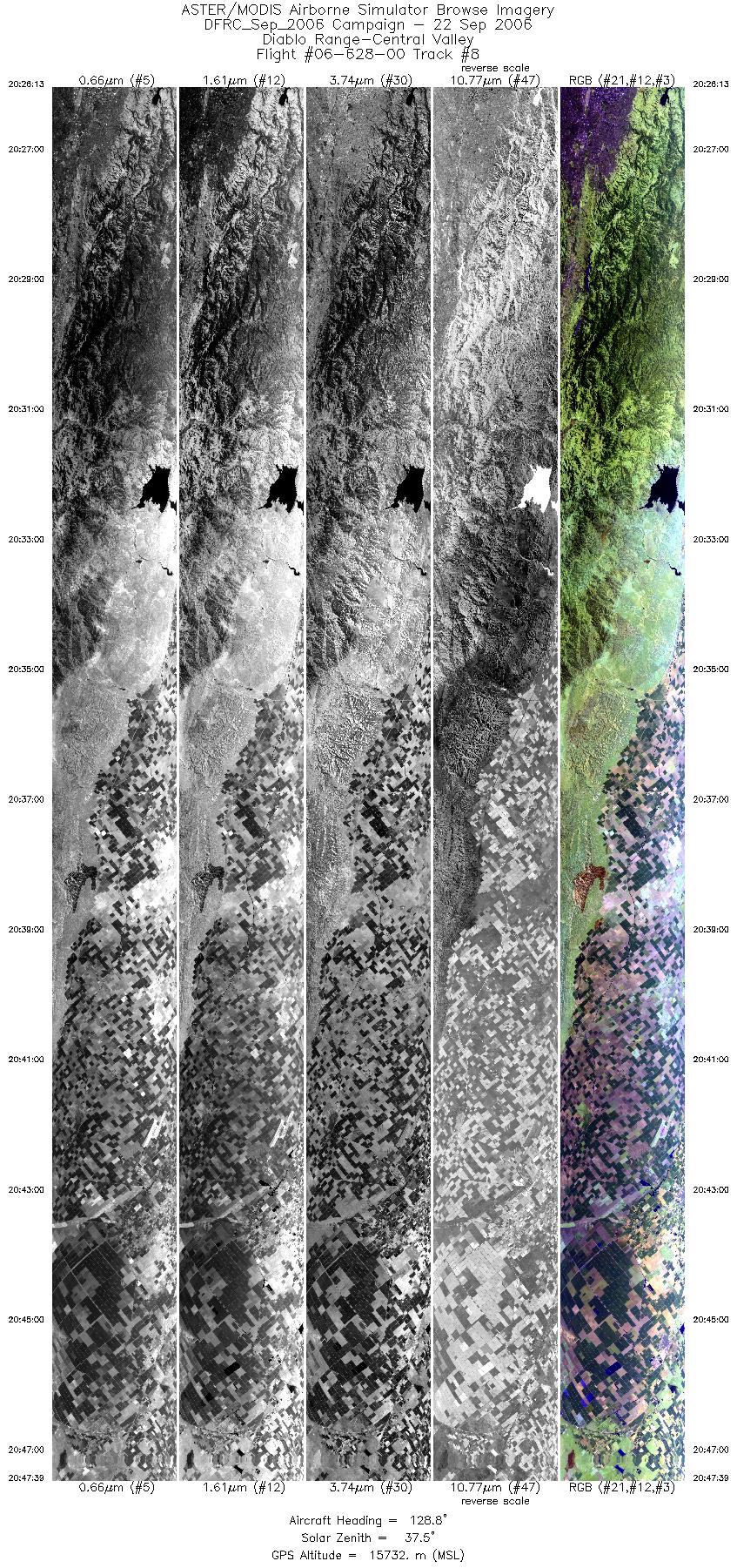
Flight: 06-628-00 Date: September 22, 2006 Aircraft: NASA ER-2, #806 Deployment: DFRC September 2006 Flight Location: Jasper Ridge & Monterey Bay, CA Principal Investigator: Hook (JPL) Additional Sensors: AVIRIS / DCS |
||||||||||||||||||||||||||||||||||||||||||||||||||||||||||||||||||||||||||||||||||||
|
Data Evaluation Weather: Cloudy skies |
||||||||||||||||||||||||||||||||||||||||||||||||||||||||||||||||||||||||||||||||||||
|
Processing Information Level-1B Data in HDF format is available Flight Line Summary Spectral Band Configuration Spectral Response Function Table Spectral Response Function (text) |
||||||||||||||||||||||||||||||||||||||||||||||||||||||||||||||||||||||||||||||||||||
|
Browse Imagery Flight Tracks: 8 Scanlines: 22494 |
||||||||||||||||||||||||||||||||||||||||||||||||||||||||||||||||||||||||||||||||||||
|
||||||||||||||||||||||||||||||||||||||||||||||||||||||||||||||||||||||||||||||||||||


