


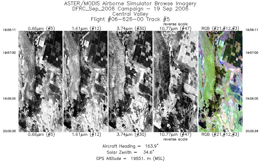
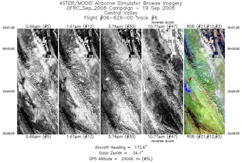
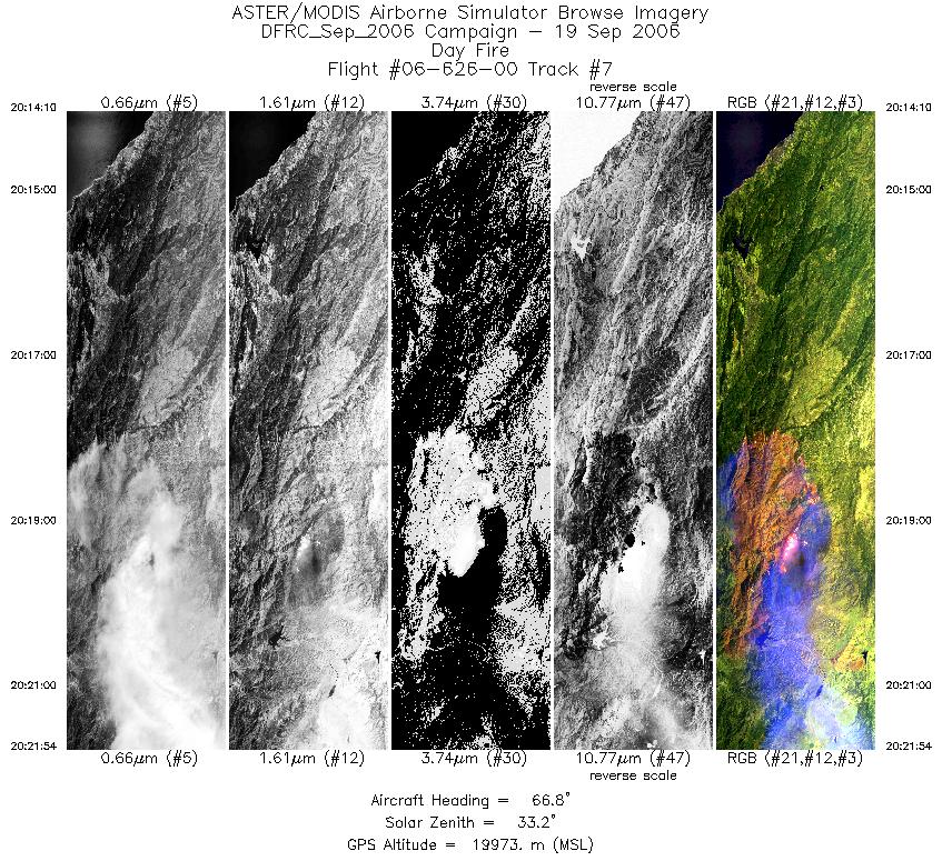
FLIGHT SUMMARY INFORMATION
Flight Track Map


|
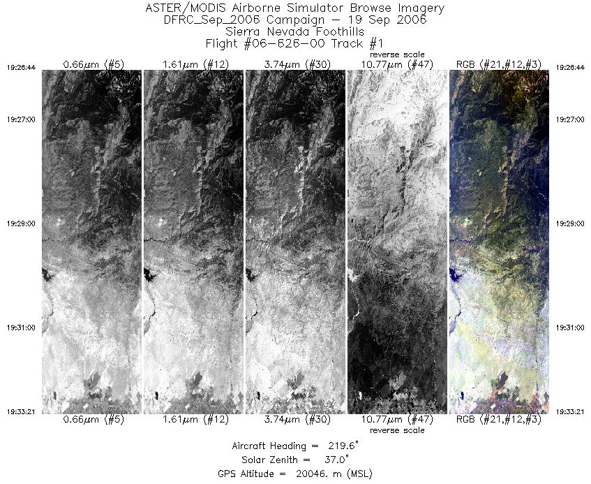
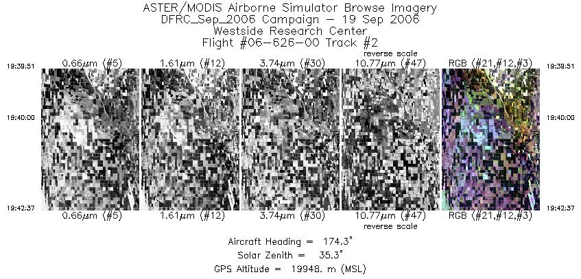
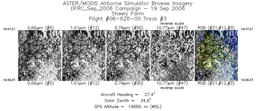
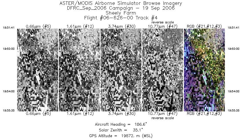
Flight: 06-626-00 Date: September 19, 2006 Aircraft: NASA ER-2, #806 Deployment: DFRC September 2006 Flight Location: Southern California (Day Fire) Principal Investigator: Hook (JPL) Additional Sensors: AVIRIS |
|||||||||||||||||||||||||||||||||||||||||||||||||||||||||||||||||||||||||||||
|
Data Evaluation Weather: Cloudy skies |
|||||||||||||||||||||||||||||||||||||||||||||||||||||||||||||||||||||||||||||
|
Processing Information Level-1B Data in HDF format is available Flight Line Summary Spectral Band Configuration Spectral Response Function Table Spectral Response Function (text) |
|||||||||||||||||||||||||||||||||||||||||||||||||||||||||||||||||||||||||||||
|
Browse Imagery Flight Tracks: 7 Scanlines: 12176 |
|||||||||||||||||||||||||||||||||||||||||||||||||||||||||||||||||||||||||||||
|
|||||||||||||||||||||||||||||||||||||||||||||||||||||||||||||||||||||||||||||


