


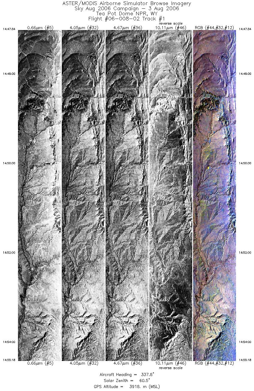
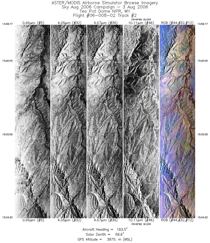
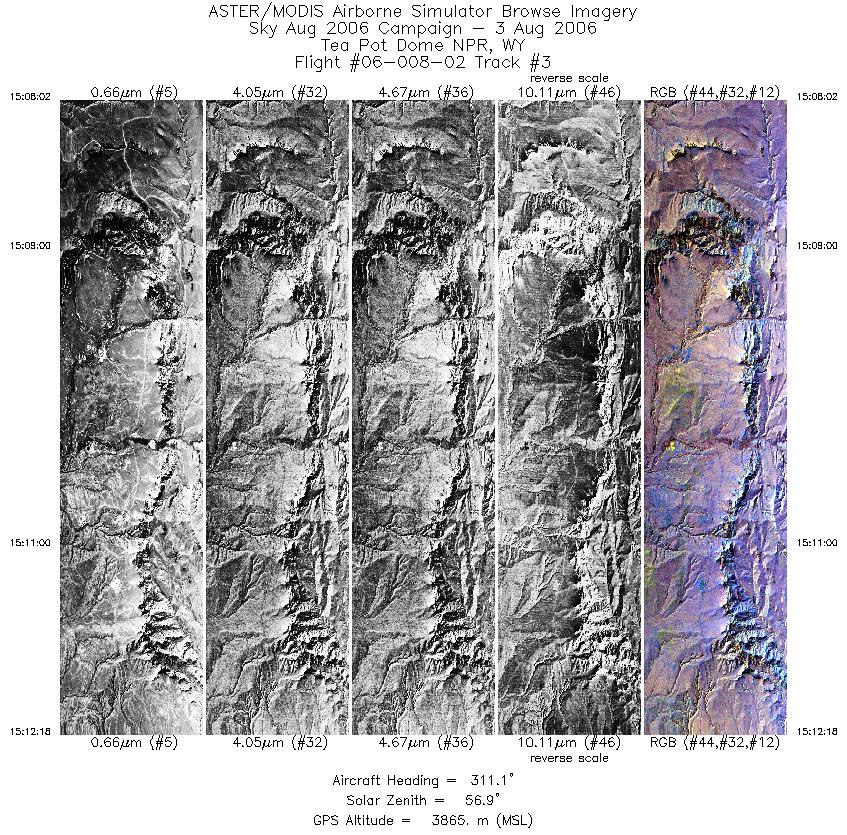
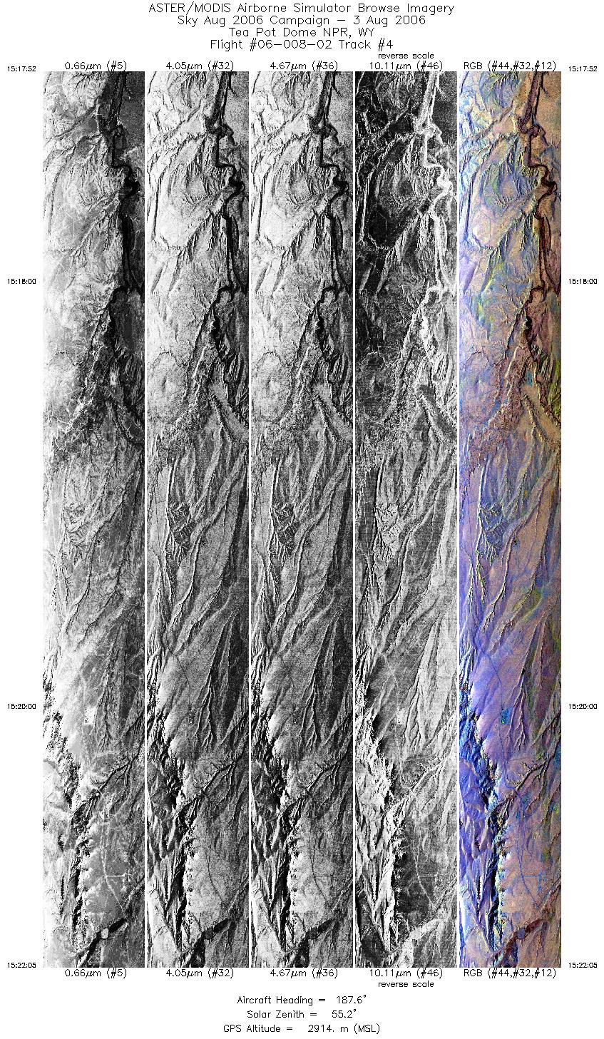
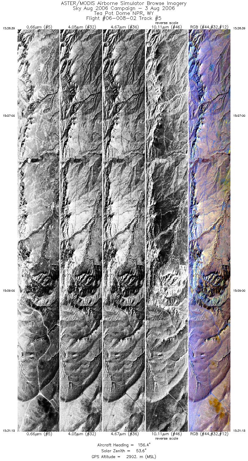
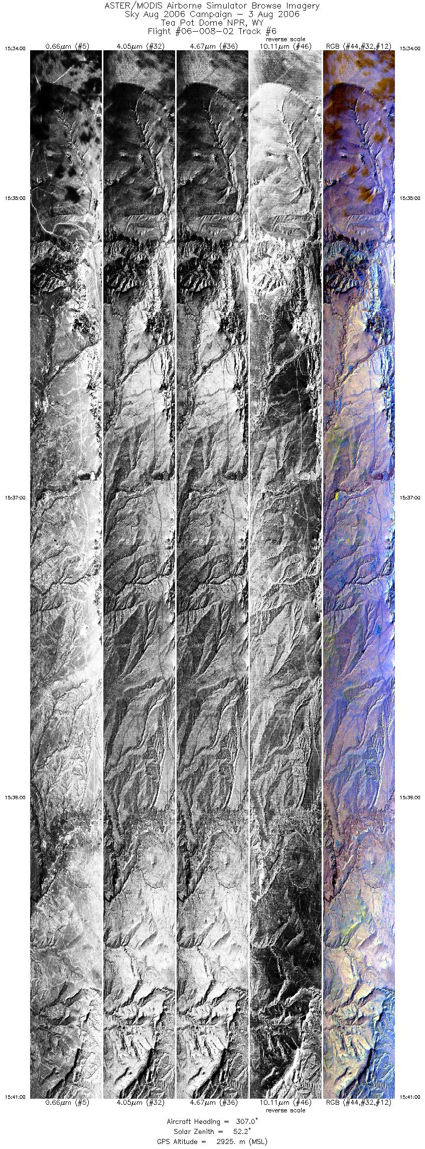
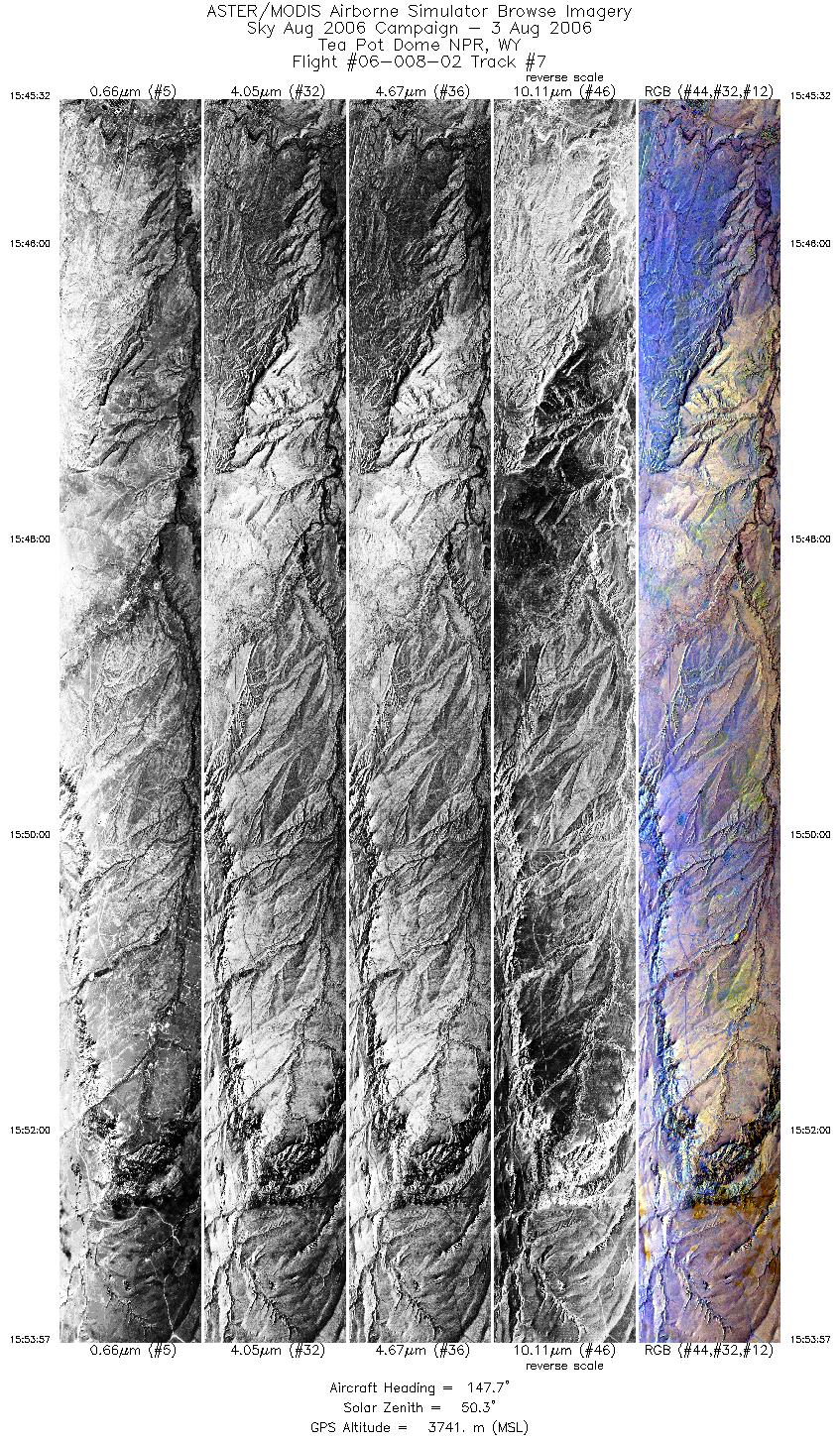
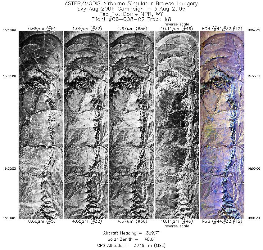
FLIGHT SUMMARY INFORMATION
Flight Track Map


|
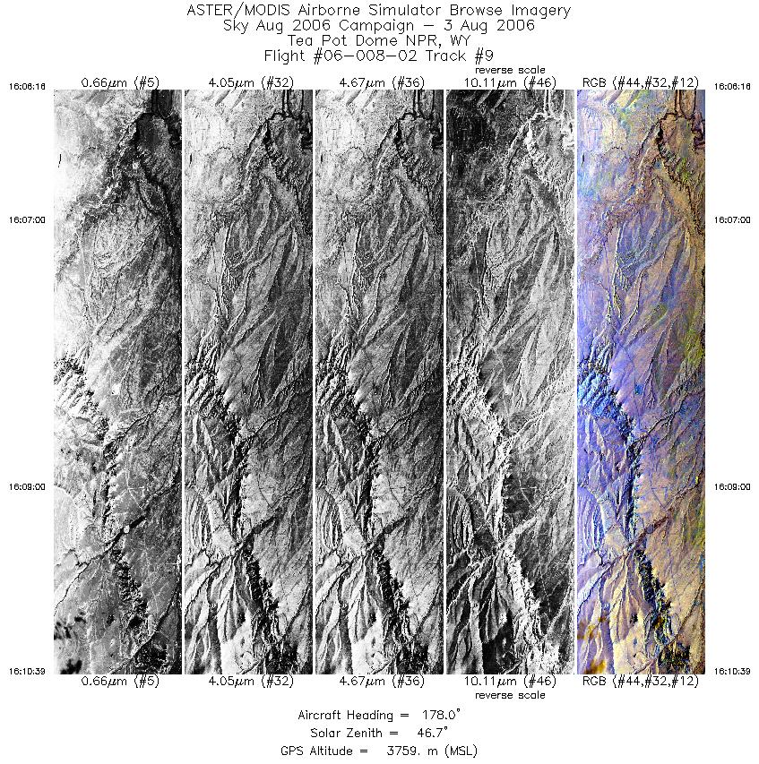
Flight: 06-008-02 Date: August 3, 2006 Aircraft: Sky Cessna Caravan, #797 Deployment: Sky August 2006 Flight Location: Casper. WY Principal Investigator: Silver (UCSC); Pickles (LLNL) Additional Sensors: none |
|||||||||||||||||||||||||||||||||||||||||||||||||||||||||||||||||||||||||||||||||||||||||||
|
Data Evaluation Weather: Clear skies Haze: none to light Turbulence: Light to moderate Data quality is good; Port 3 looks great (selected bands) |
|||||||||||||||||||||||||||||||||||||||||||||||||||||||||||||||||||||||||||||||||||||||||||
|
Processing Information Level-1B Data in HDF format is available Flight Line Summary Spectral Band Configuration Spectral Response Function Table Spectral Response Function (text) |
|||||||||||||||||||||||||||||||||||||||||||||||||||||||||||||||||||||||||||||||||||||||||||
|
Browse Imagery Flight Tracks: 9 Scanlines: 48765 |
|||||||||||||||||||||||||||||||||||||||||||||||||||||||||||||||||||||||||||||||||||||||||||
|
|||||||||||||||||||||||||||||||||||||||||||||||||||||||||||||||||||||||||||||||||||||||||||


