


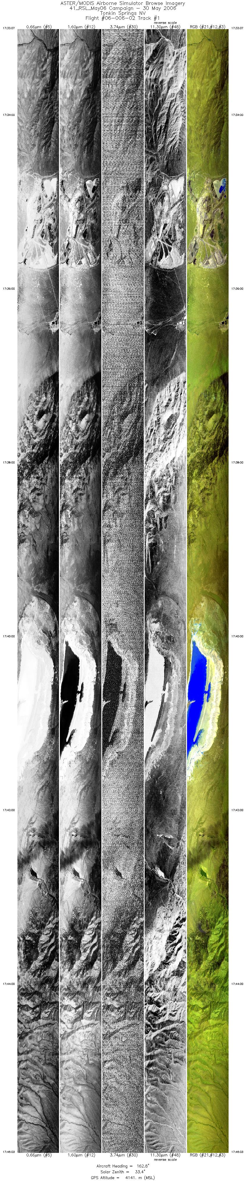
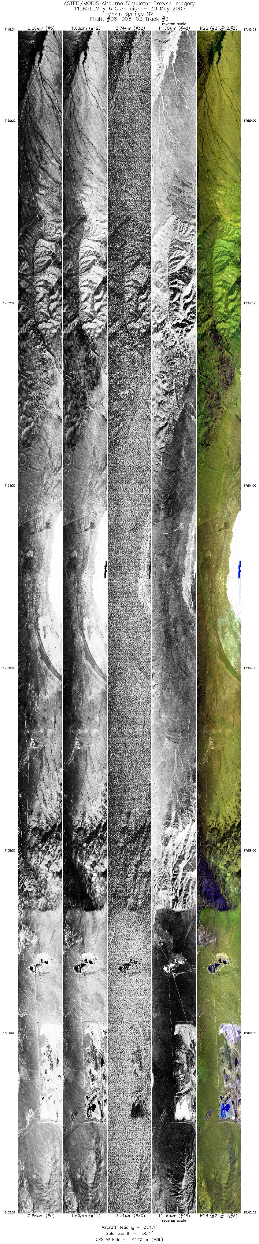
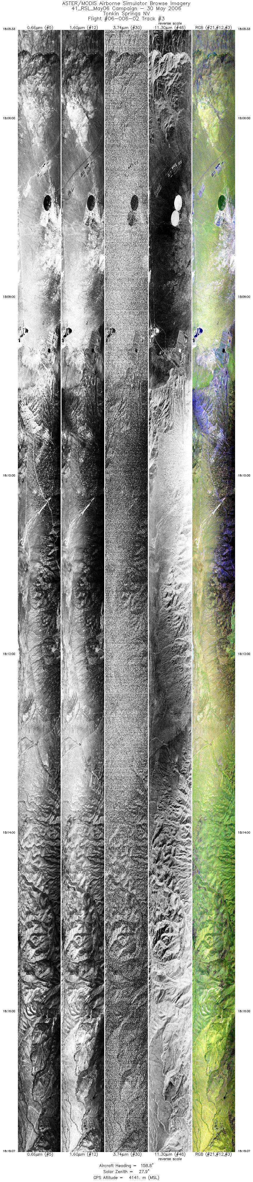
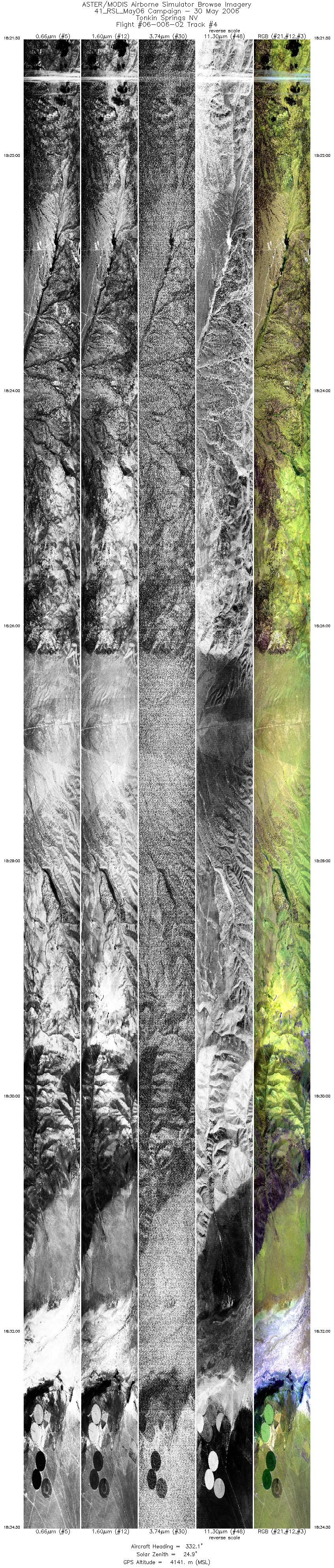
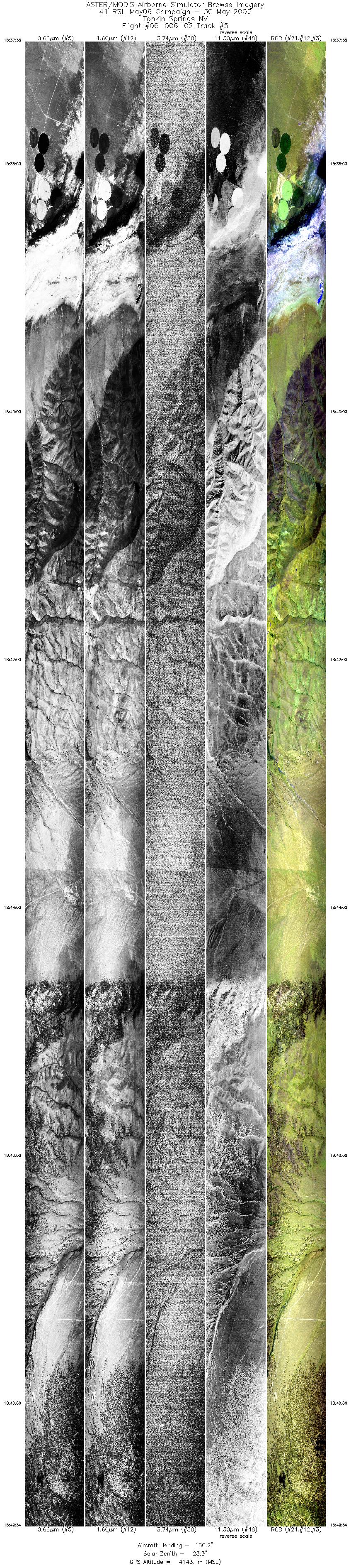
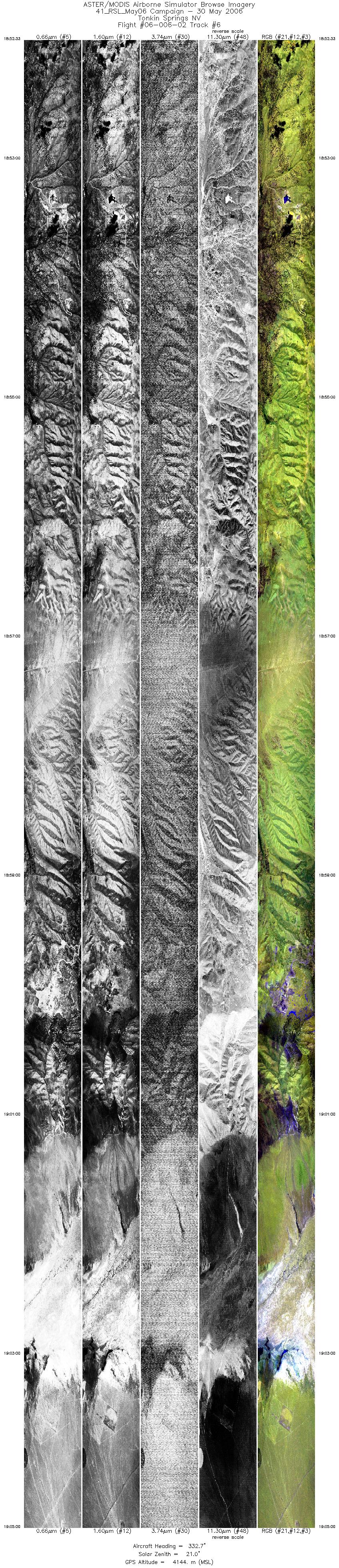
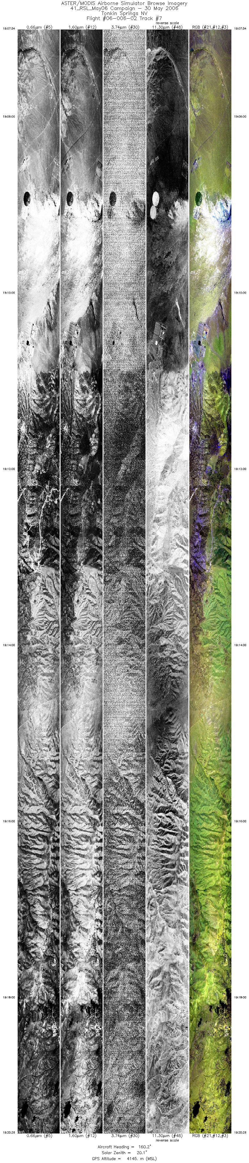
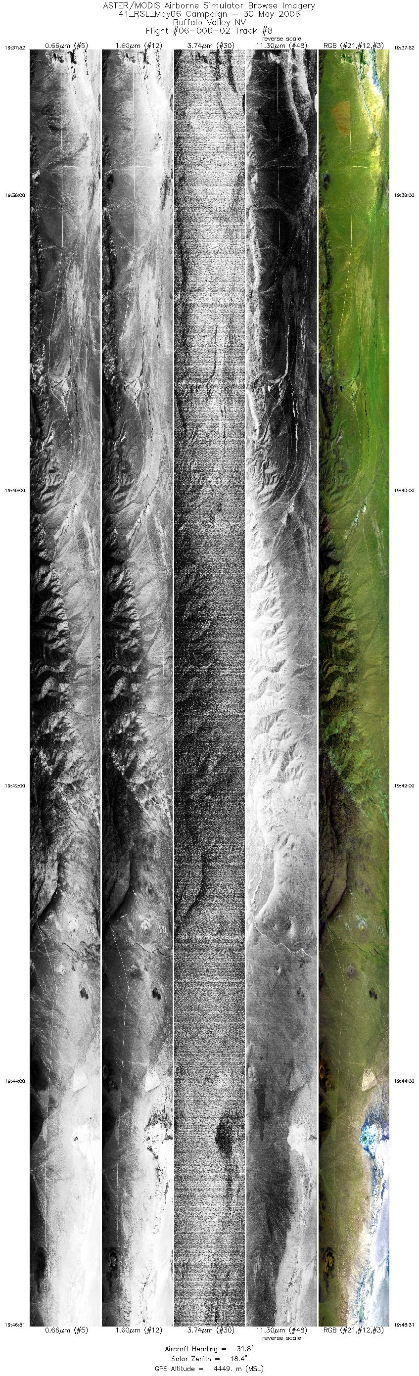
FLIGHT SUMMARY INFORMATION
Flight Track Map


|
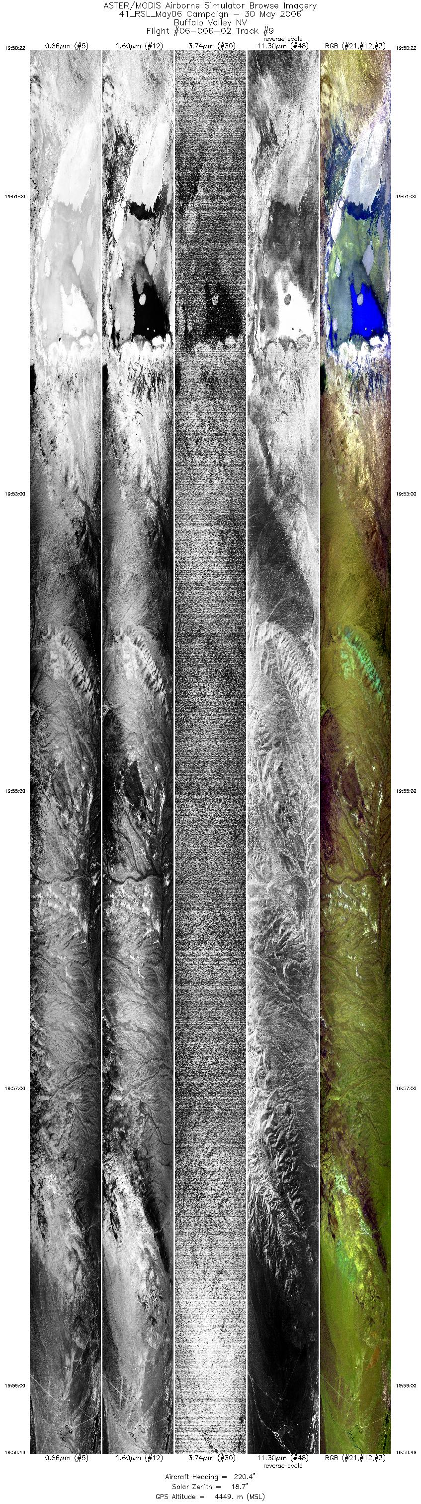
Flight: 06-006-02 Date: May 30, 2006 Aircraft: DOE B200, #798 Deployment: RSL May 2006 Flight Location: Tonkin Springs & Buffalo Valley, NV Principal Investigator: Calvin (UNR), Kruse (AIG) Additional Sensors: none |
|||||||||||||||||||||||||||||||||||||||||||||||||||||||||||||||||||||||||||||||||||||||||||
|
Data Evaluation Weather: Clear skies Haze: none to light Turbulence: Light to moderate Data quality is good; Port 3 is noisy |
|||||||||||||||||||||||||||||||||||||||||||||||||||||||||||||||||||||||||||||||||||||||||||
|
Processing Information Level-1B Data in HDF format is available Flight Line Summary Spectral Band Configuration Spectral Response Function Table Spectral Response Function (text) |
|||||||||||||||||||||||||||||||||||||||||||||||||||||||||||||||||||||||||||||||||||||||||||
|
Browse Imagery Flight Tracks: 9 Scanlines: 158478 |
|||||||||||||||||||||||||||||||||||||||||||||||||||||||||||||||||||||||||||||||||||||||||||
|
|||||||||||||||||||||||||||||||||||||||||||||||||||||||||||||||||||||||||||||||||||||||||||


