


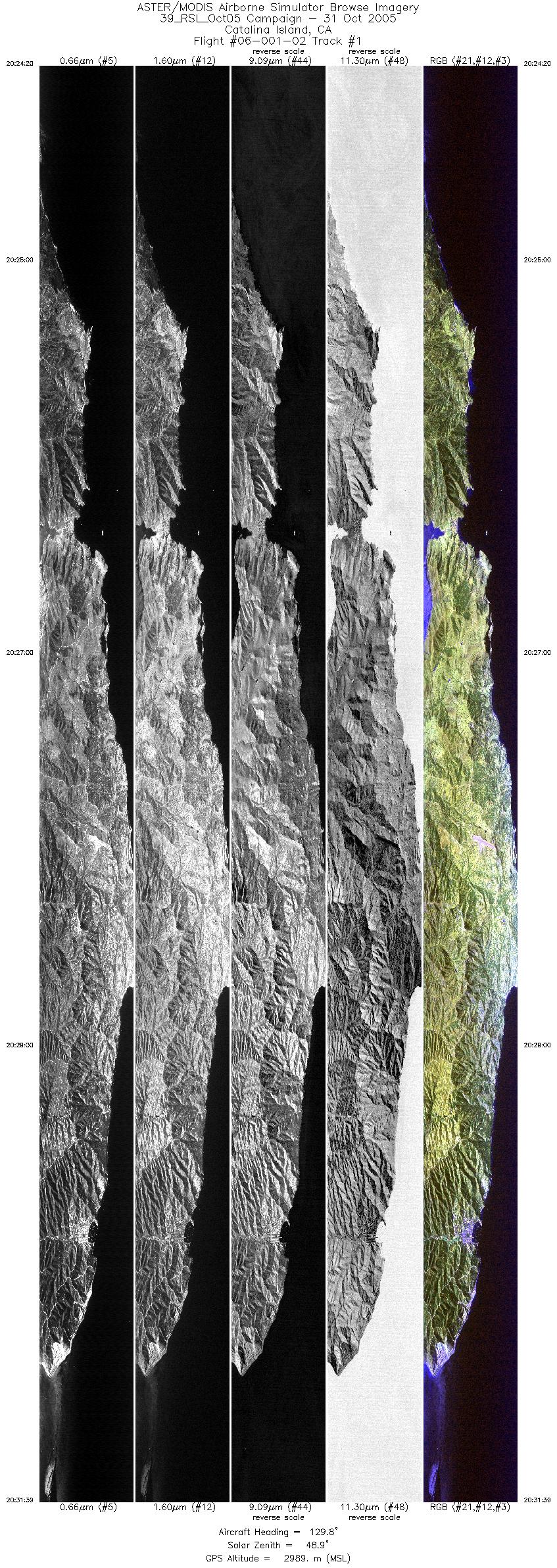
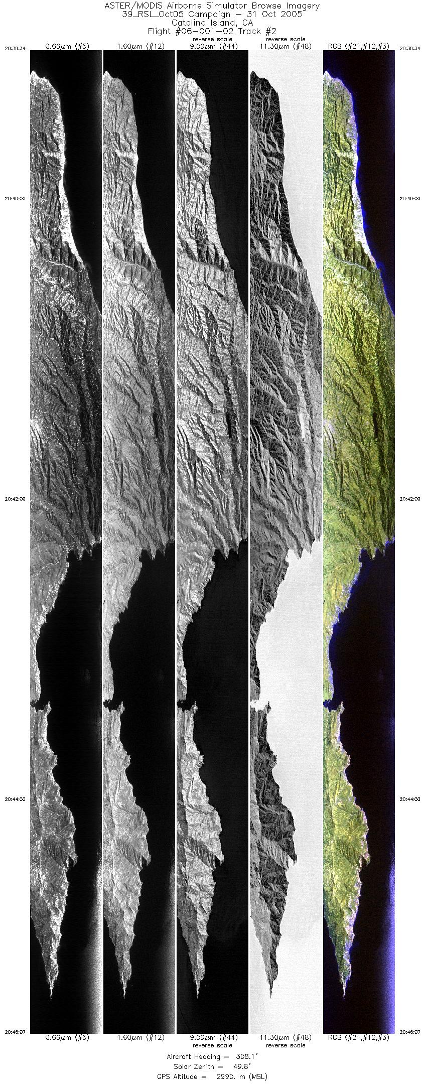
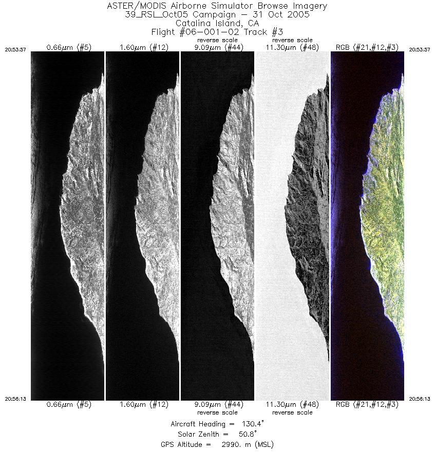
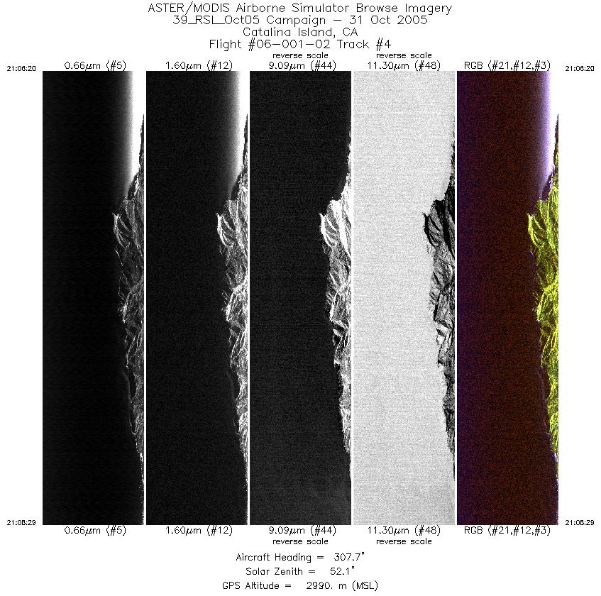
FLIGHT SUMMARY INFORMATION
Flight Track Map


|
Flight: 06-001-02 Date: October 31, 2005 Aircraft: DOE B200, #798 Deployment: RSL October 2005 Flight Location: Catalina Island, CA Principal Investigator: Abrams (JPL) Additional Sensors: none |
||||||||||||||||||||||||||||||||||||||||||||||||||||||||
|
Data Evaluation Weather: Clear skies Haze: none to light Turbulence: Light to moderate Data quality is good; Port 3 is noisy Low sun angles caused sun glint in imagery |
||||||||||||||||||||||||||||||||||||||||||||||||||||||||
|
Processing Information Level-1B Data in HDF format is available Flight Line Summary Spectral Band Configuration Spectral Response Function Table Spectral Response Function (text) |
||||||||||||||||||||||||||||||||||||||||||||||||||||||||
|
Browse Imagery Flight Tracks: 4 Scanlines: 27330 |
||||||||||||||||||||||||||||||||||||||||||||||||||||||||
|
||||||||||||||||||||||||||||||||||||||||||||||||||||||||


