


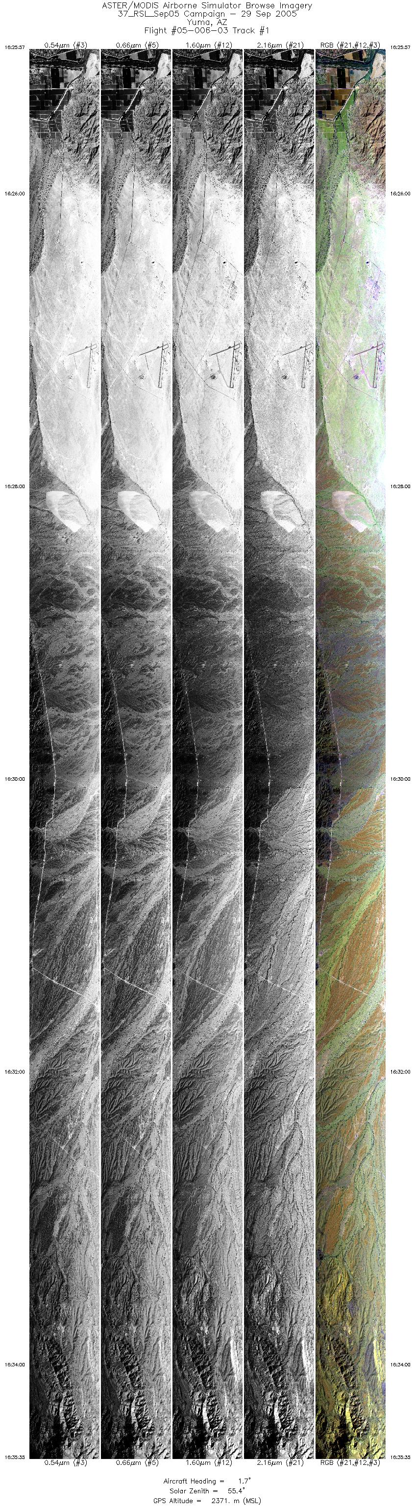
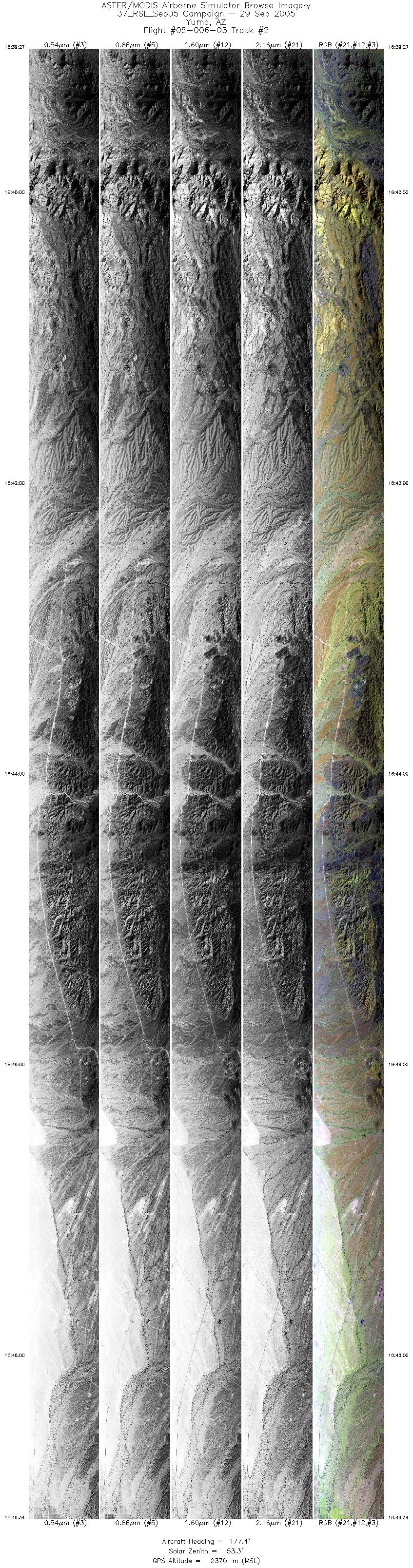
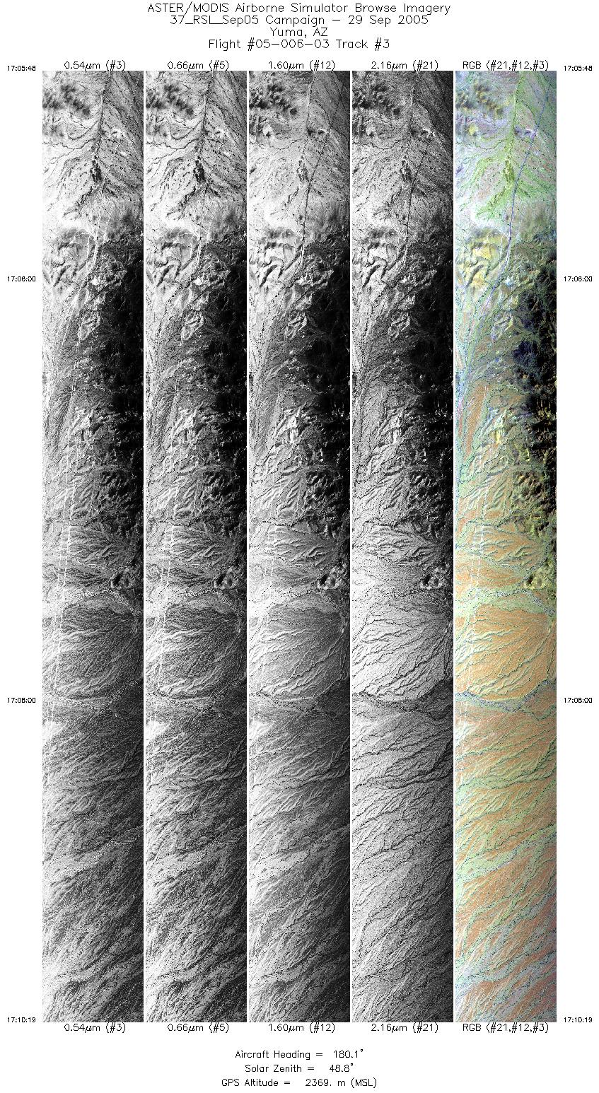
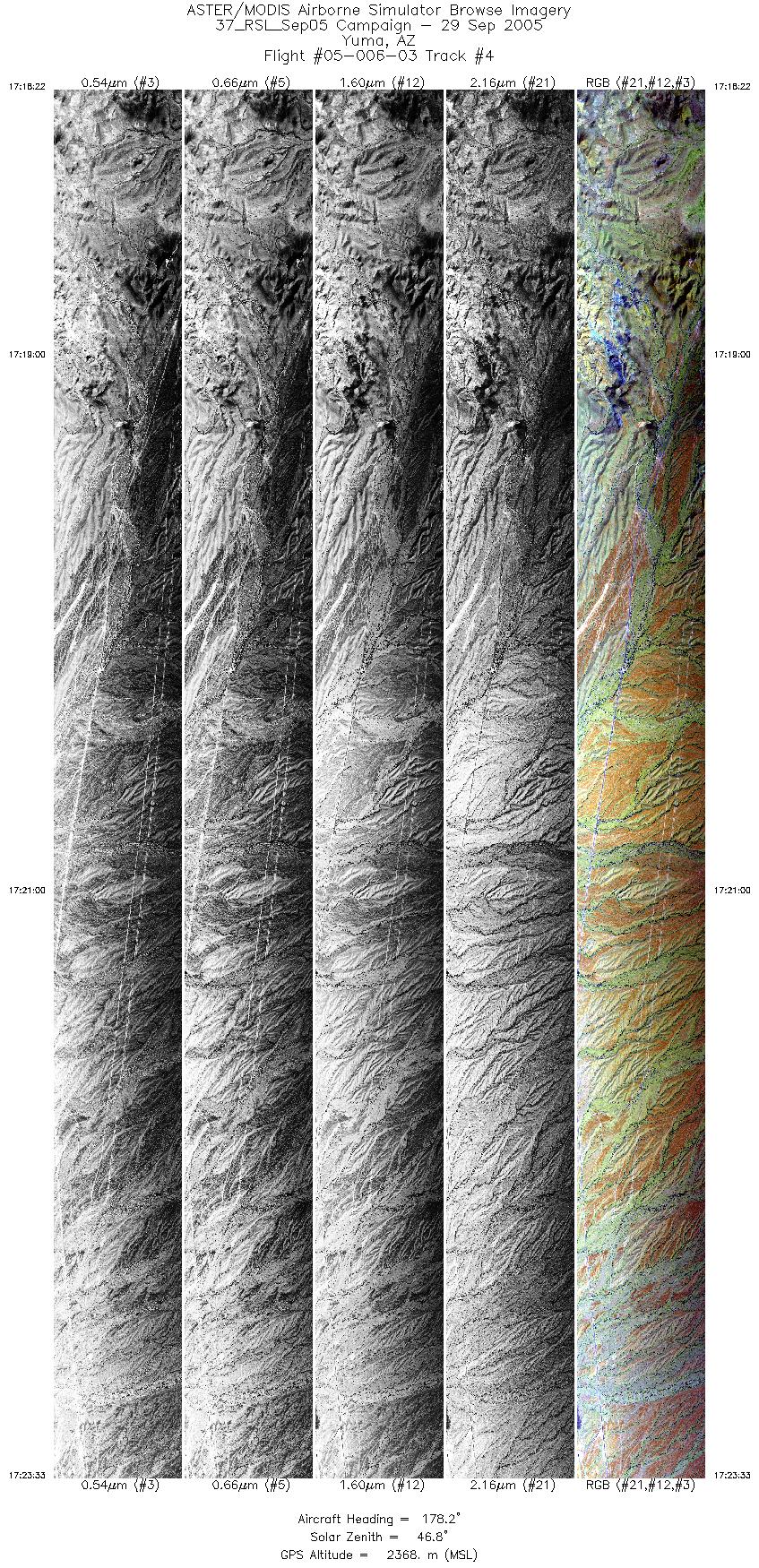
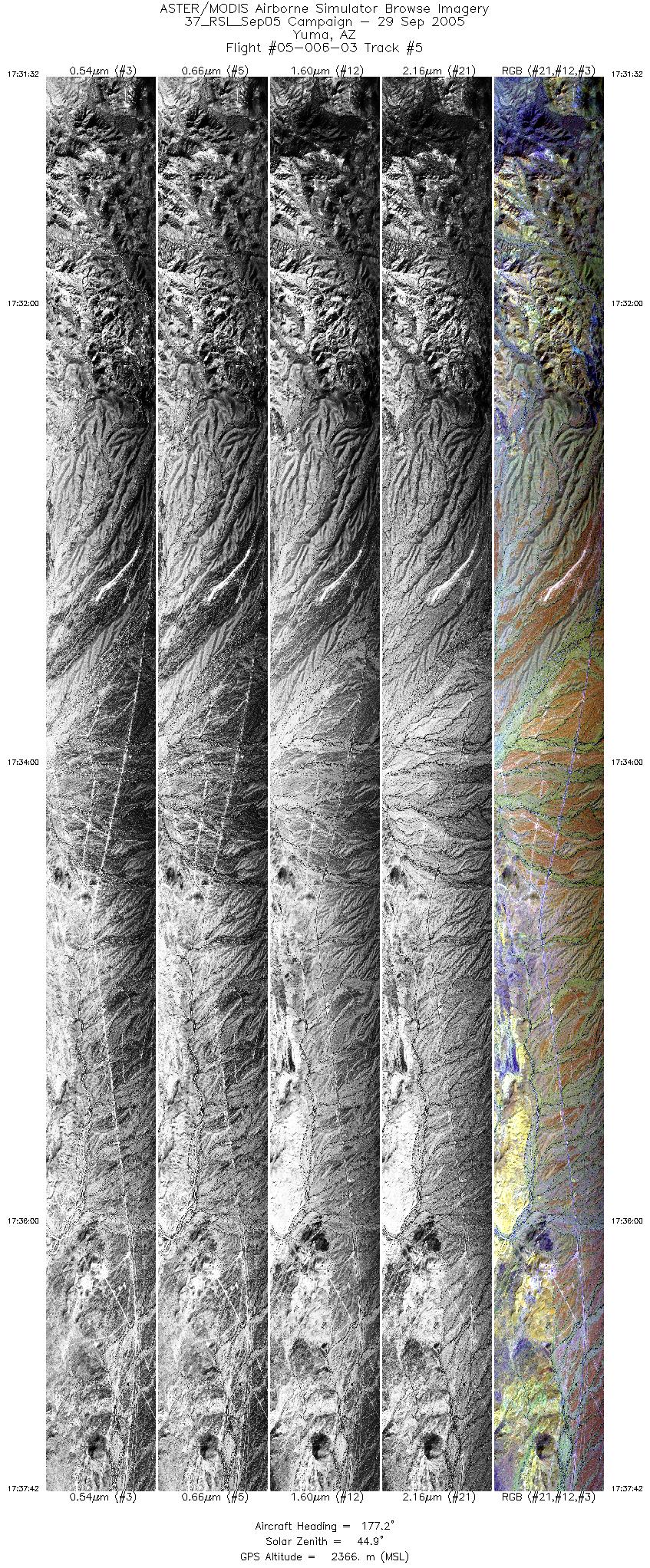
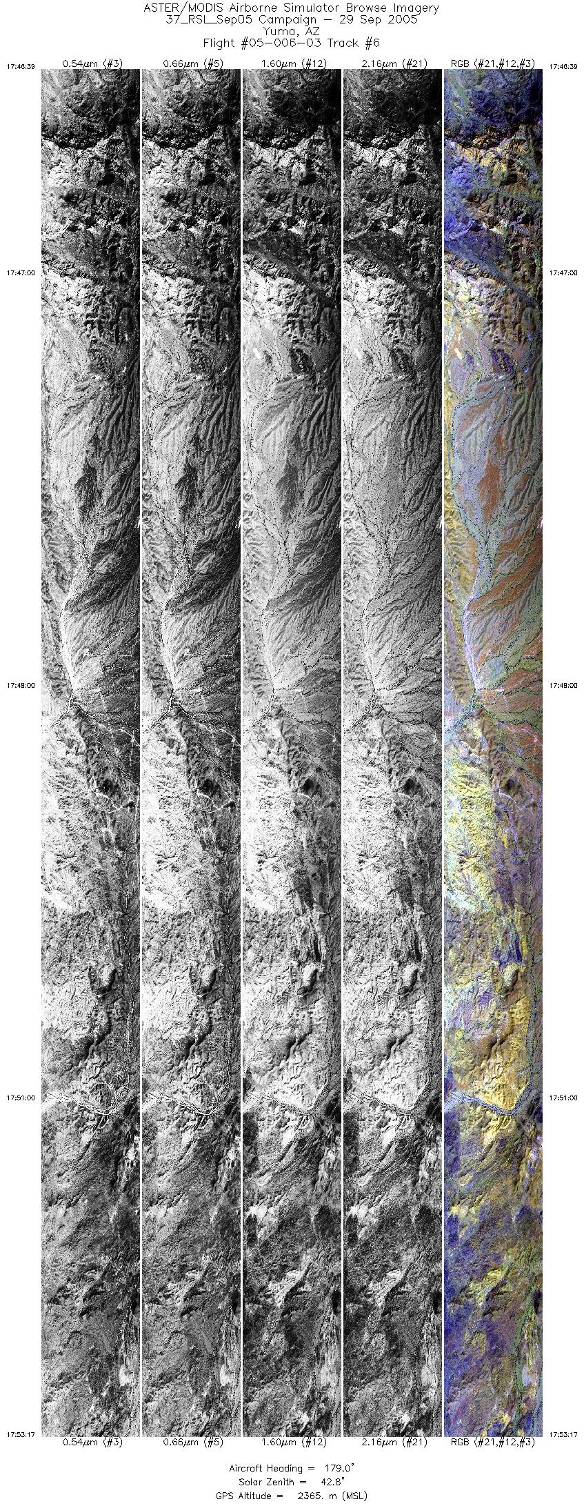
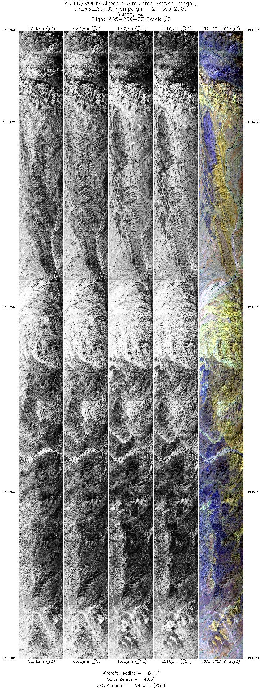
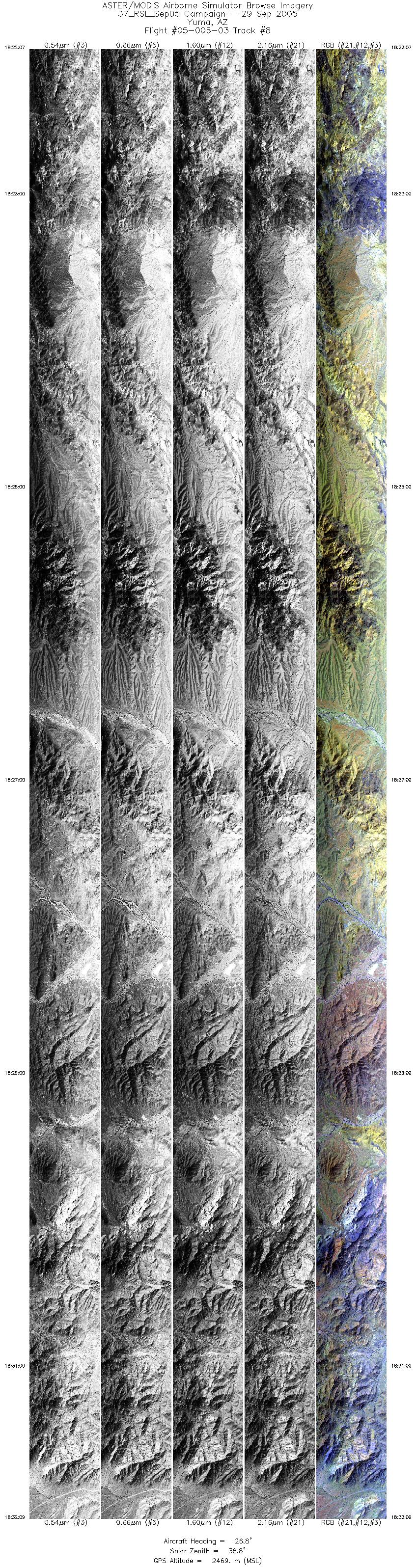
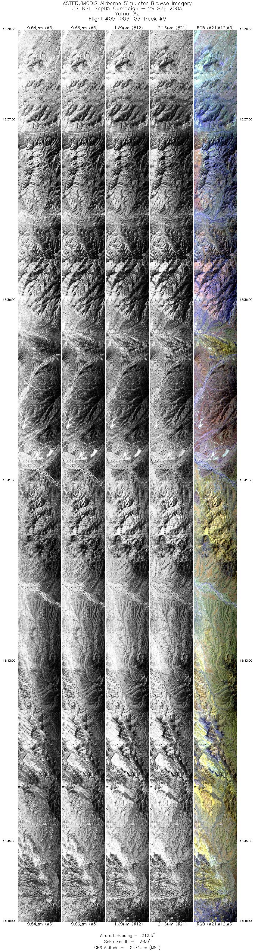
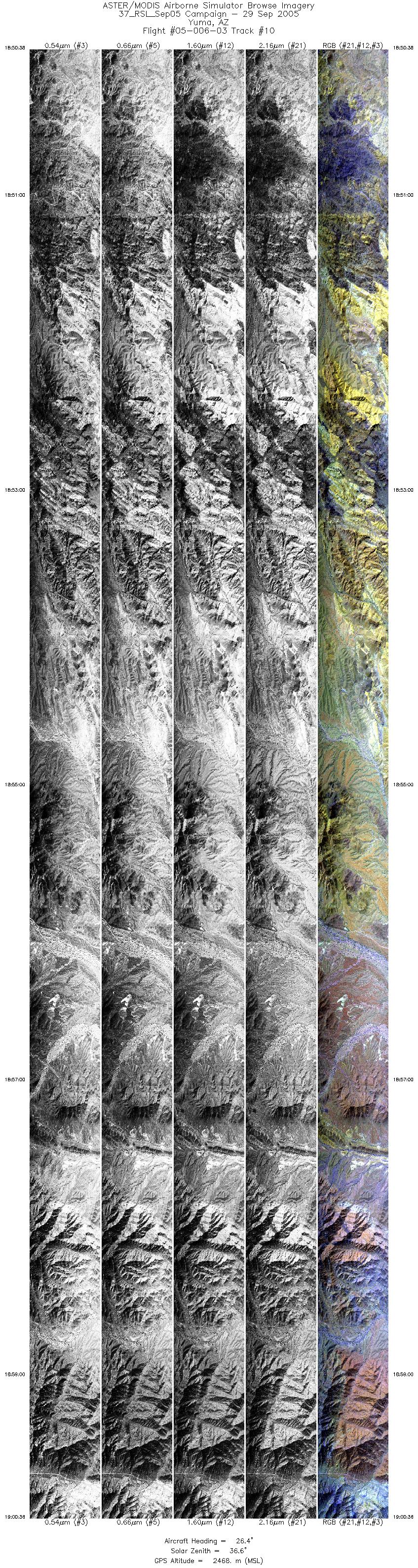
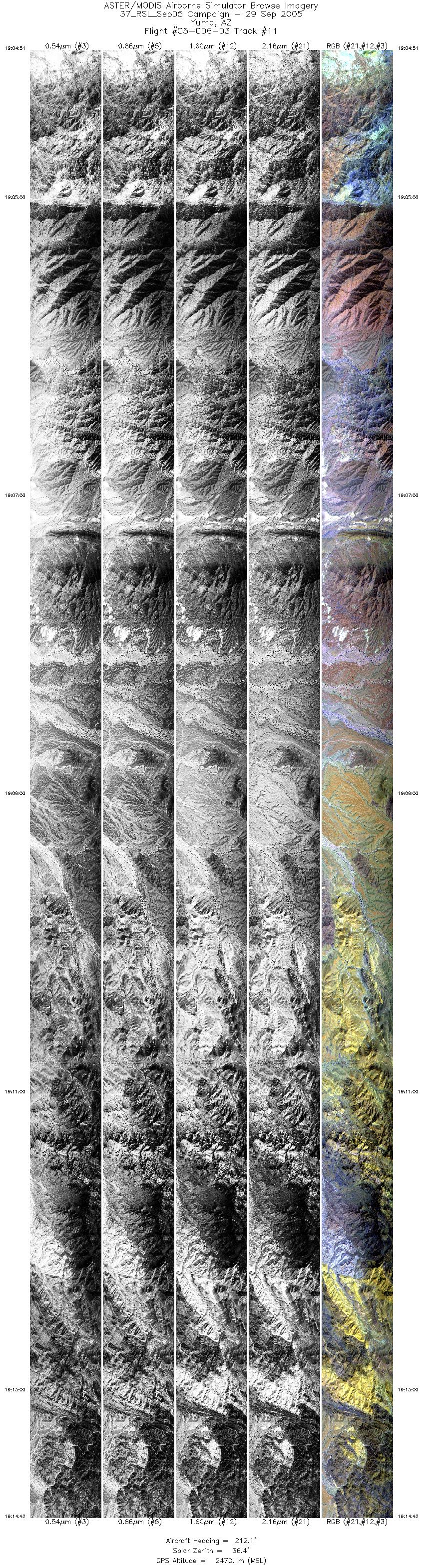
FLIGHT SUMMARY INFORMATION
Flight Track Map


|
Flight: 05-006-03 Date: September 29, 2005 Aircraft: DOE B200, #798 Deployment: RSL September 2005 Flight Location: Yuma Proving Grounds, AZ Principal Investigator: Minor (DRI) Additional Sensors: RC-30 Camera |
|||||||||||||||||||||||||||||||||||||||||||||||||||||||||||||||||||||||||||||||||||||||||||||||||||||||||
|
Data Evaluation Weather: Clear skies Haze: Moderate to heavy Turbulence: Light to moderate Data quality is good. |
|||||||||||||||||||||||||||||||||||||||||||||||||||||||||||||||||||||||||||||||||||||||||||||||||||||||||
|
Processing Information Level-1B Data in HDF format is available Flight Line Summary Spectral Band Configuration Spectral Response Function Table Spectral Response Function (text) |
|||||||||||||||||||||||||||||||||||||||||||||||||||||||||||||||||||||||||||||||||||||||||||||||||||||||||
|
Browse Imagery Flight Tracks: 11 Scanlines: 132576 |
|||||||||||||||||||||||||||||||||||||||||||||||||||||||||||||||||||||||||||||||||||||||||||||||||||||||||
|
|||||||||||||||||||||||||||||||||||||||||||||||||||||||||||||||||||||||||||||||||||||||||||||||||||||||||


