


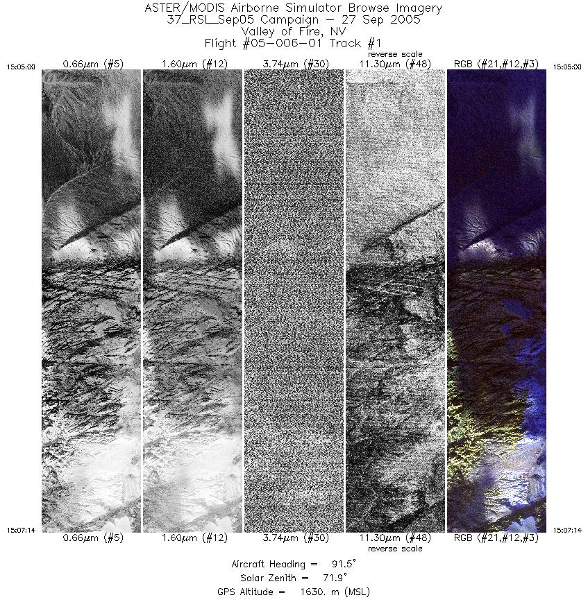
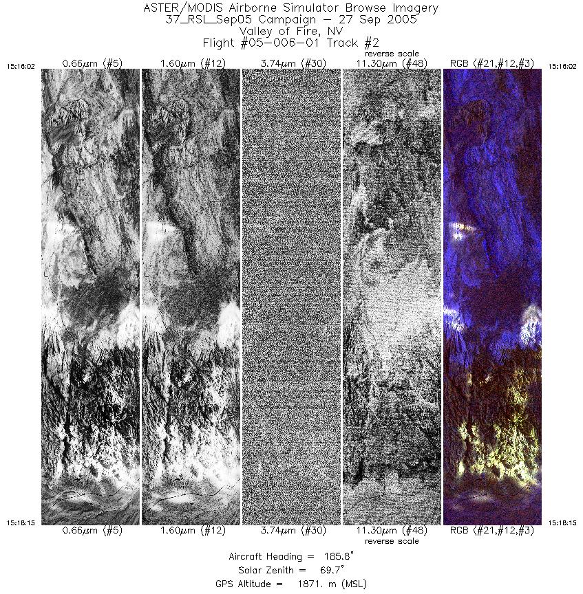
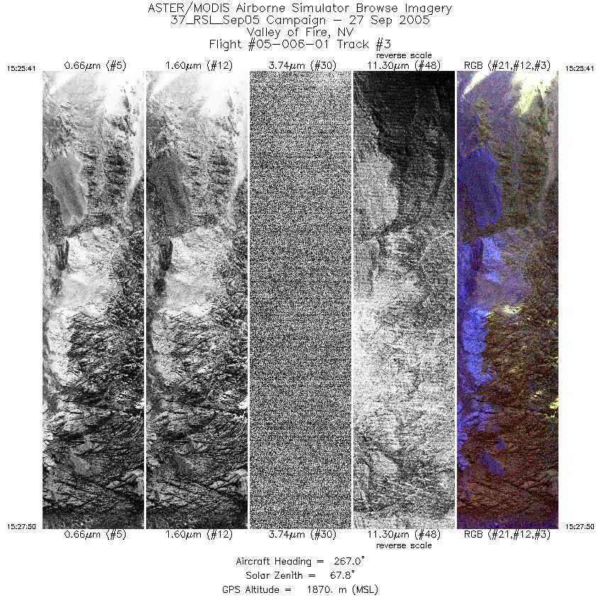
FLIGHT SUMMARY INFORMATION
Flight Track Map


|
Flight: 05-006-01 Date: September 27, 2005 Aircraft: DOE B200, #798 Deployment: RSL September 2005 Flight Location: Valley of Fire & Lake Mead, NV Principal Investigator: F.C.F. Additional Sensors: |
|||||||||||||||||||||||||||||||||||||||||||||||||
|
Data Evaluation Weather: Partly cloudy skies; low sun angle Haze: Moderate to heavy Turbulence: None to light Data quality is good. |
|||||||||||||||||||||||||||||||||||||||||||||||||
|
Processing Information Level-1B Data in HDF format is available Flight Line Summary Spectral Band Configuration Spectral Response Function Table Spectral Response Function (text) |
|||||||||||||||||||||||||||||||||||||||||||||||||
|
Browse Imagery Flight Tracks: 3 Scanlines: 9894 |
|||||||||||||||||||||||||||||||||||||||||||||||||
|
|||||||||||||||||||||||||||||||||||||||||||||||||


