


FLIGHT SUMMARY INFORMATION
Flight Track Map


|
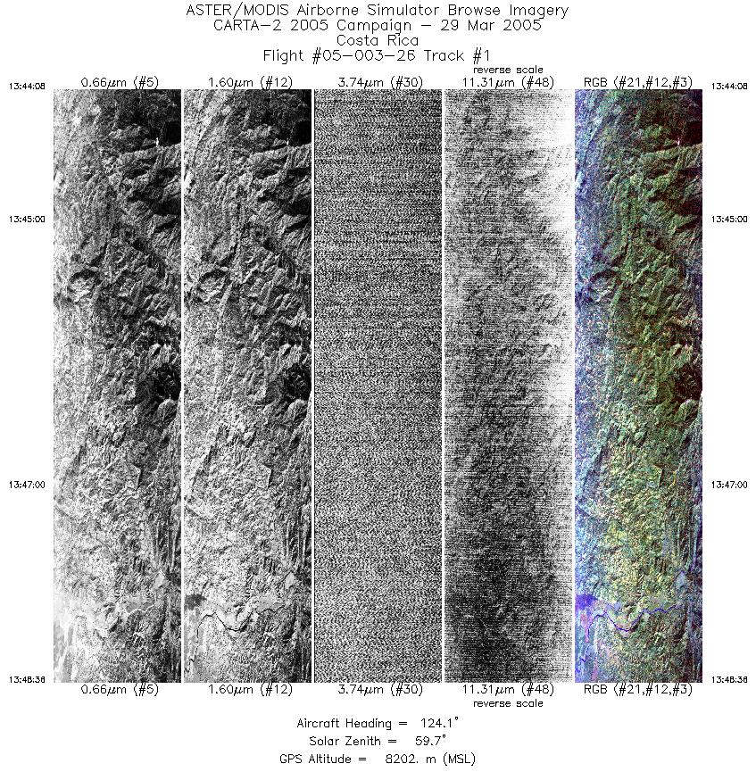
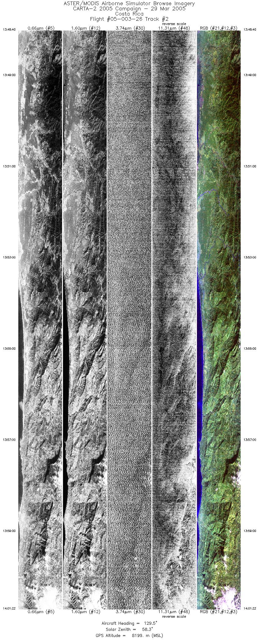
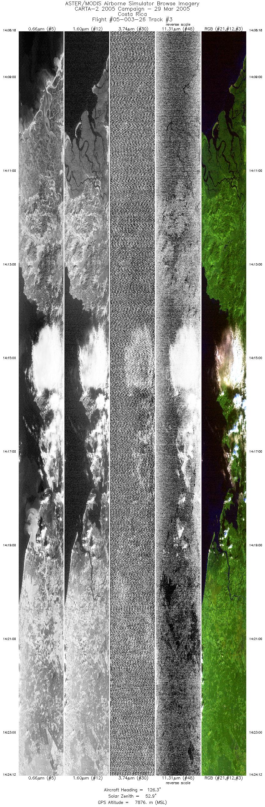
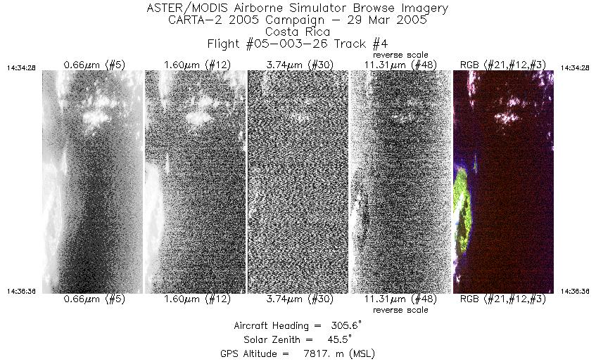
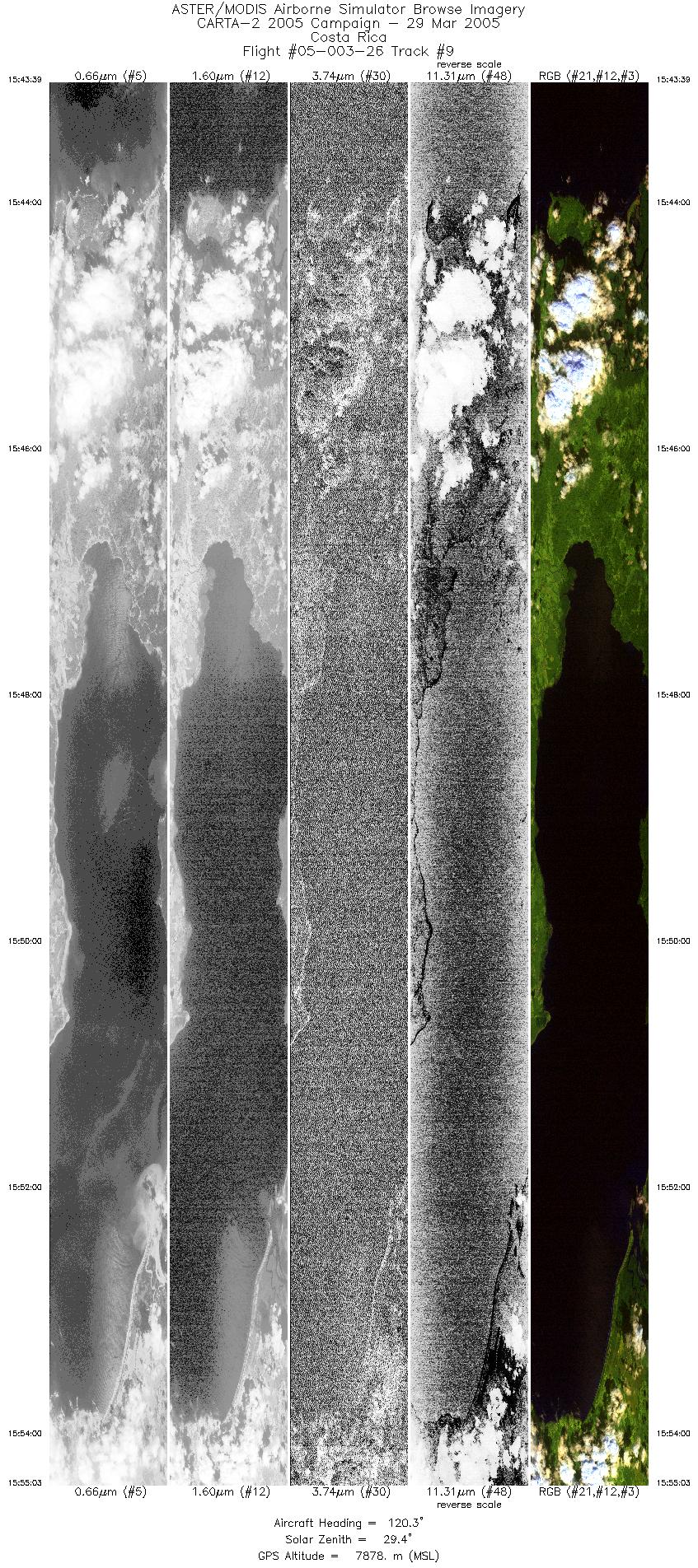
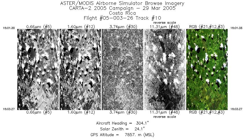
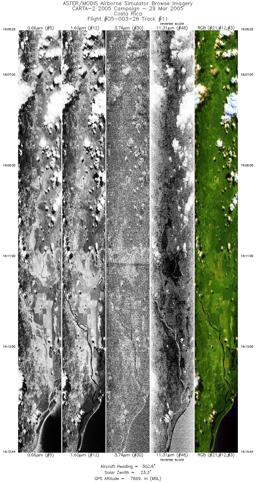
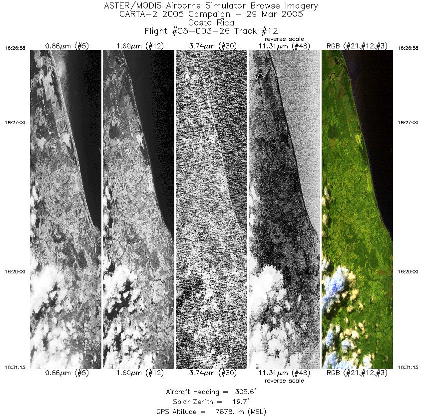
Flight: 05-003-26 Date: March 29, 2005 Aircraft: NASA WB57, #926 Deployment: CARTA II Flight Location: Costa Rica Principal Investigator: CENAT (Diaz) Additional Sensors: RC-30, DCS, Hymap |
||||||||||||||||||||||||||||||||||||||||||||||||||||||||||||||||||||||||||||||||||||||||||||||||||||||||||||||||
|
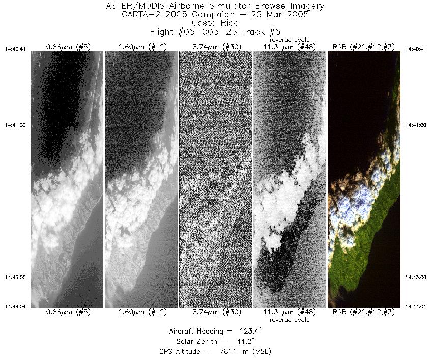
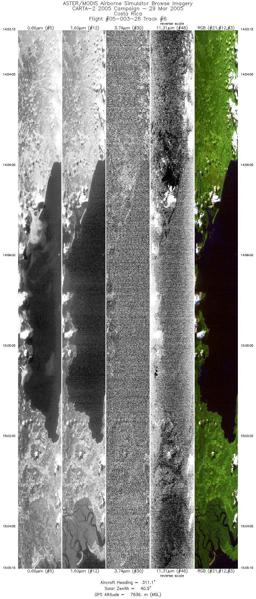
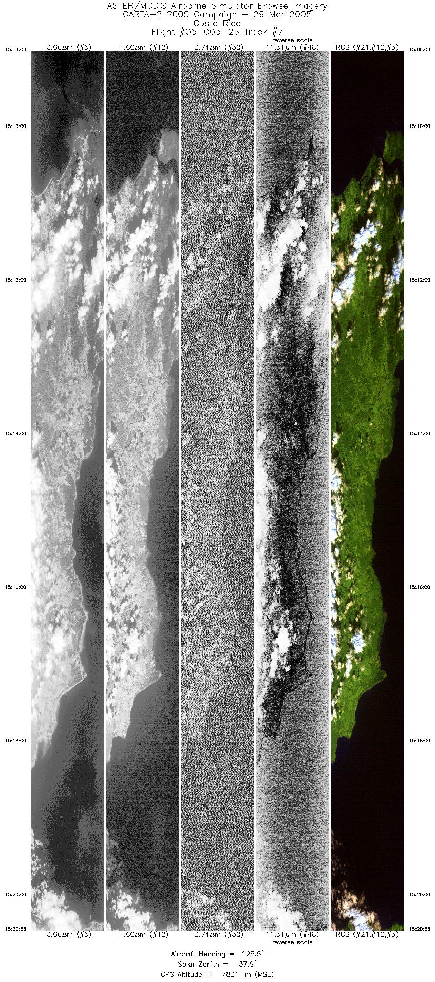
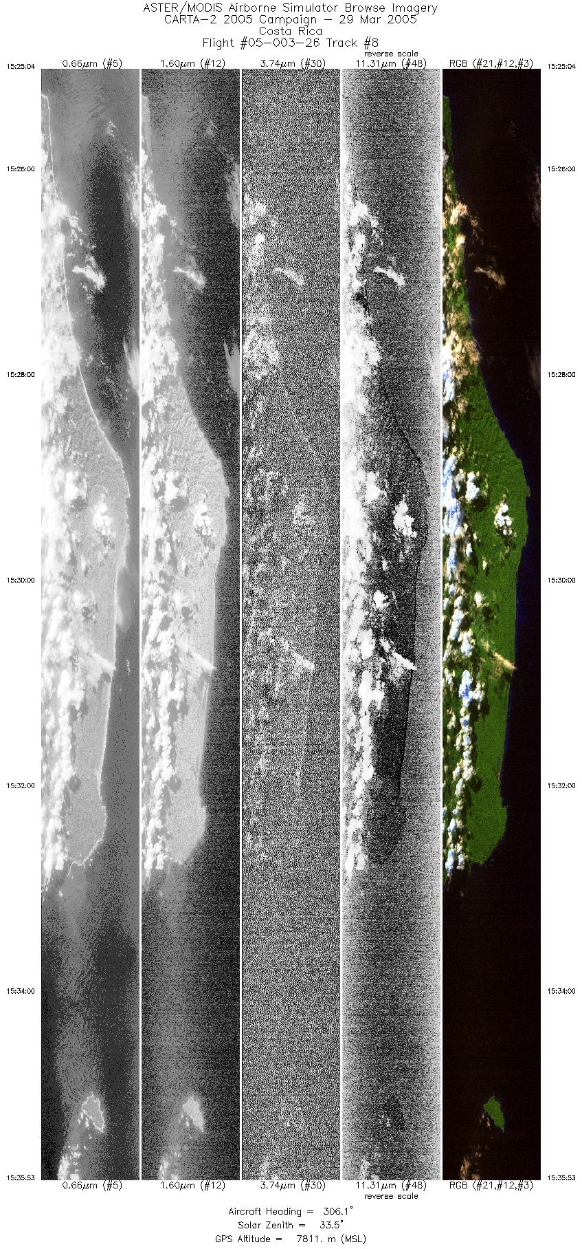
Data Evaluation Data quality is good. Port 4 (bands 41-50) has some coherent noise during the first couple of lines. |
||||||||||||||||||||||||||||||||||||||||||||||||||||||||||||||||||||||||||||||||||||||||||||||||||||||||||||||||
|
Processing Information Level-1B Data in HDF format is available Flight Line Summary Spectral Band Configuration Spectral Response Function Table Spectral Response Function (text) |
||||||||||||||||||||||||||||||||||||||||||||||||||||||||||||||||||||||||||||||||||||||||||||||||||||||||||||||||
|
Browse Imagery Flight Tracks: 12 Scanlines: 74440 |
||||||||||||||||||||||||||||||||||||||||||||||||||||||||||||||||||||||||||||||||||||||||||||||||||||||||||||||||
|
||||||||||||||||||||||||||||||||||||||||||||||||||||||||||||||||||||||||||||||||||||||||||||||||||||||||||||||||


