


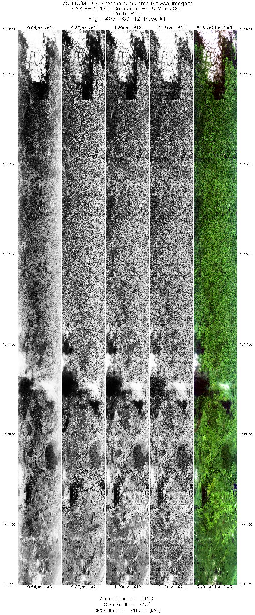
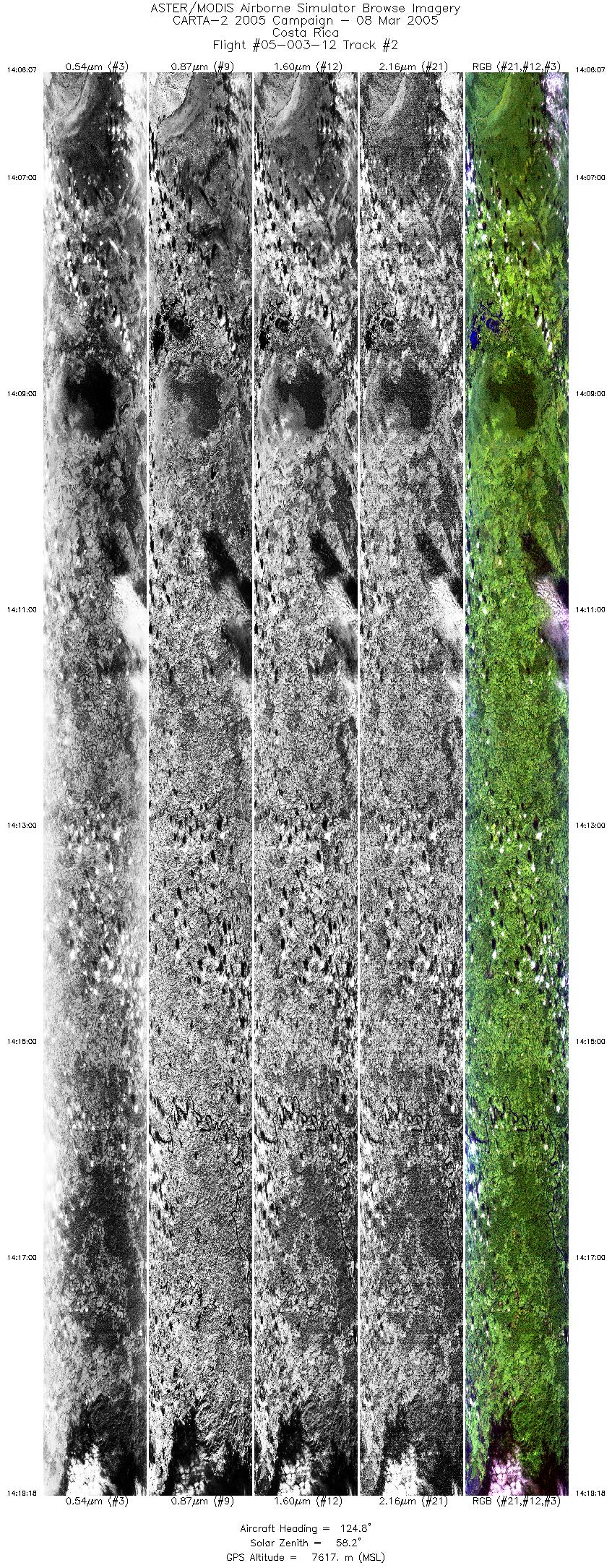
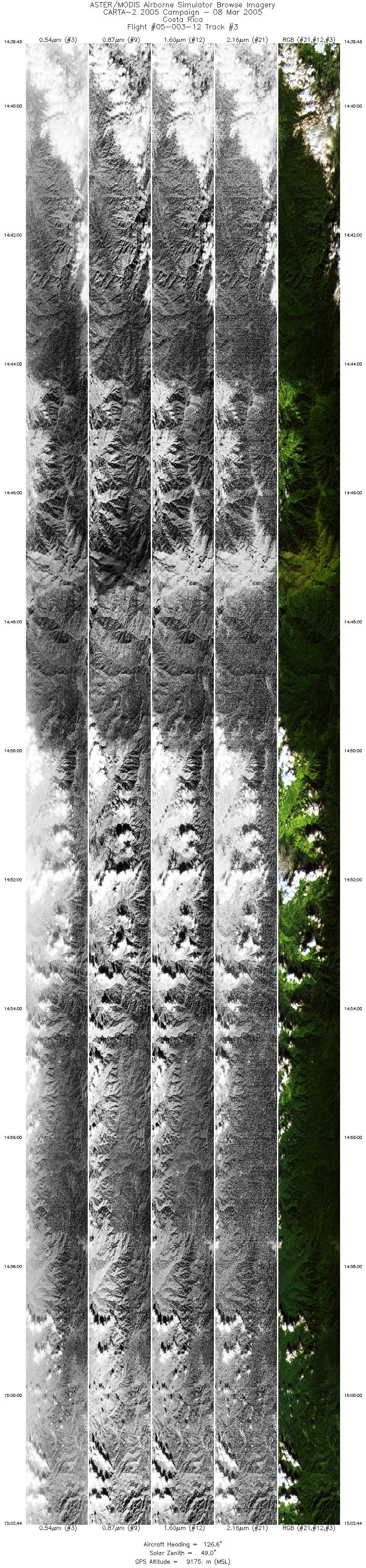
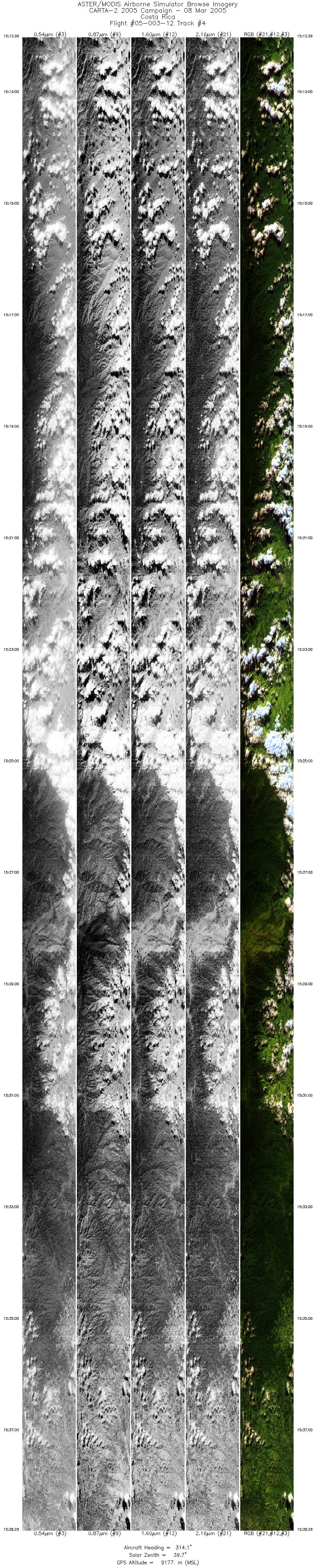
FLIGHT SUMMARY INFORMATION
Flight Track Map


|
Flight: 05-003-12 Date: March 8, 2005 Aircraft: NASA WB57, #926 Deployment: CARTA II Flight Location: Costa Rica Principal Investigator: CENAT (Diaz) Additional Sensors: RC-30, DCS, Hymap |
|||||||||||||||||||||||||||||||||||||||||||||||||||||||||||||||
|
Data Evaluation Data quality is ok. Port 4 dewar lost its sealer plug causing all the LN2 to escape; no usable data for bands 41-50. Data from Port 3 has also been affected. |
|||||||||||||||||||||||||||||||||||||||||||||||||||||||||||||||
|
Processing Information Level-1B Data in HDF format is available Flight Line Summary Spectral Band Configuration Spectral Response Function Table Spectral Response Function (text) |
|||||||||||||||||||||||||||||||||||||||||||||||||||||||||||||||
|
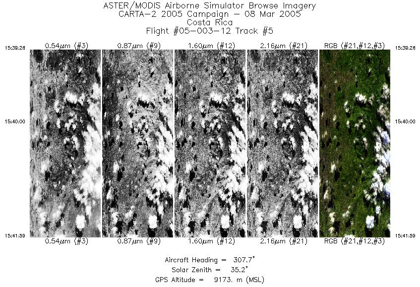
Browse Imagery Flight Tracks: 5 Scanlines: 58087 |
|||||||||||||||||||||||||||||||||||||||||||||||||||||||||||||||
|
|||||||||||||||||||||||||||||||||||||||||||||||||||||||||||||||


