Flight: 05-003-08
Date: March 4, 2005
Aircraft: NASA WB57, #926
Deployment: CARTA II
Flight Location: Costa Rica
Principal Investigator: CENAT (Diaz)
Additional Sensors: RC-30, DCS, Hymap
|
Data Evaluation
Data quality is ok.
|
Processing Information
Level-1B Data in HDF format is available
Flight Line Summary
Spectral Band Configuration
Spectral Response Function Table
Spectral Response Function (text)
|
Browse Imagery
Flight Tracks: 13
Scanlines: 134232
|
Browse Imagery Table
|
Click a Flight Track number to view a quicklook image
Lat/Lon ranges are for the BEG-END scanline nadir pixels
|
Flight
Track |
Time Span
(UTC) |
Heading
(Deg) |
Lat Range
(Deg N) |
Lon Range
(Deg W) |
Length
(Scanlines) |
Altitude
(Meters) |
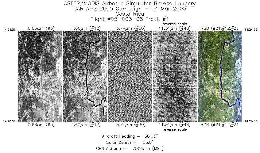
| 1 |
14:24 - 14:26 |
303.0 |
10.973 - 11.048 |
84.318 - 84.428 |
1496 |
7511 |
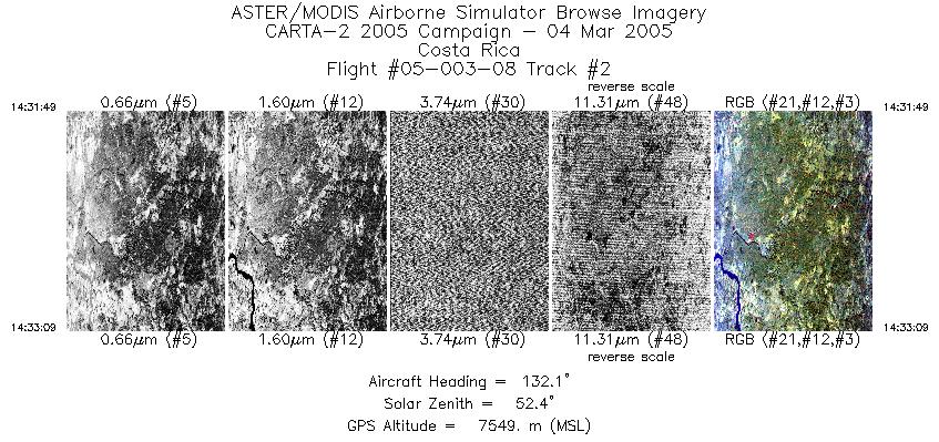
| 2 |
14:31 - 14:33 |
130.7 |
11.092 - 11.047 |
84.430 - 84.366 |
996 |
7546 |
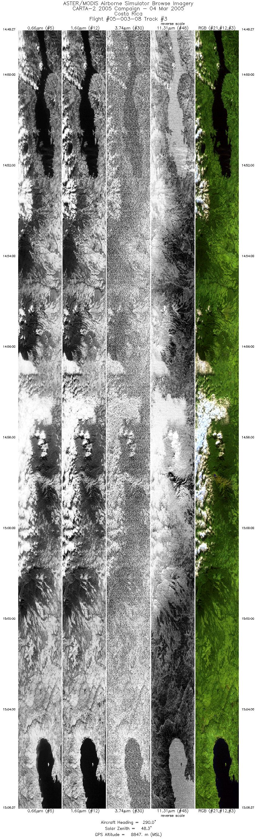
| 3 |
14:49 - 15:06 |
295.5 |
10.450 - 11.103 |
84.781 - 85.748 |
12805 |
8805 |
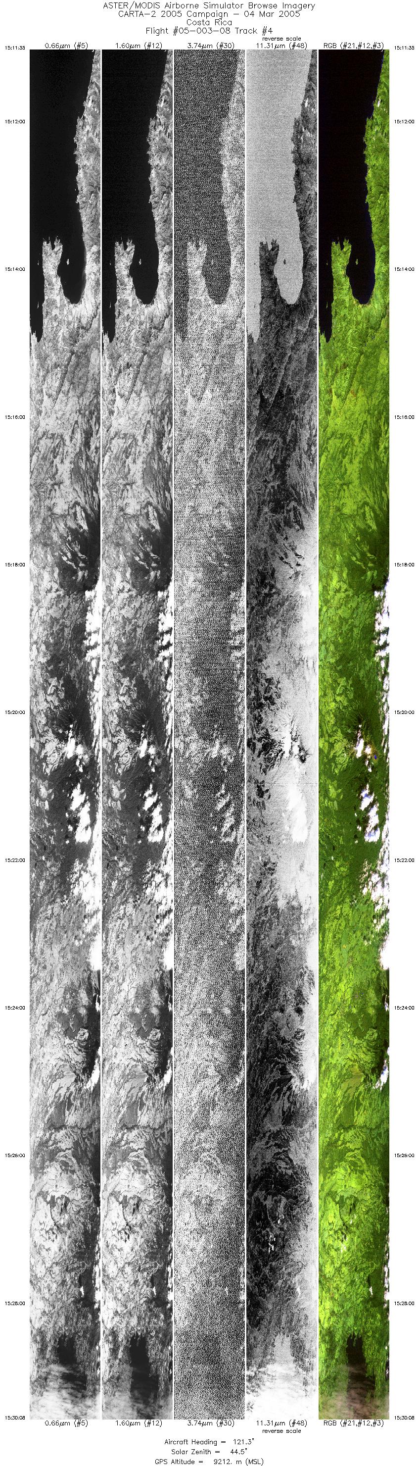
| 4 |
15:11 - 15:30 |
124.1 |
11.147 - 10.515 |
85.866 - 84.926 |
13836 |
9204 |
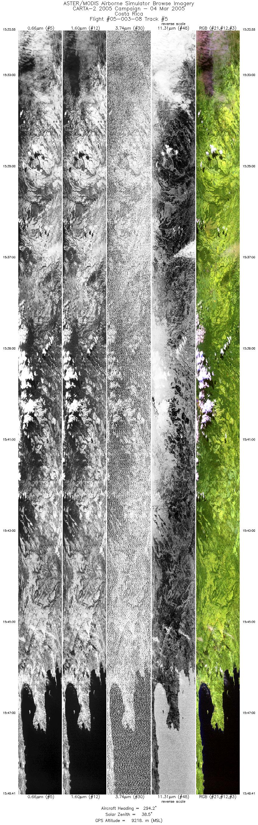
| 5 |
15:32 - 15:49 |
297.2 |
10.474 - 11.084 |
84.911 - 85.816 |
12515 |
9175 |
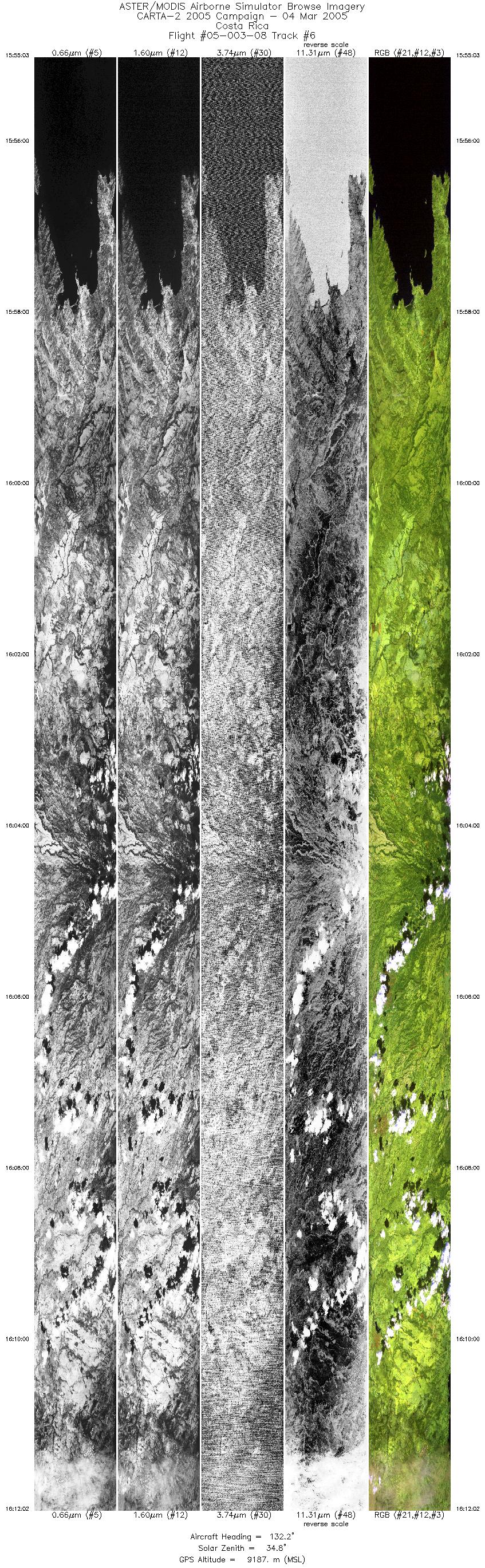
| 6 |
15:55 - 16:12 |
130.8 |
11.044 - 10.432 |
85.849 - 84.944 |
12691 |
9183 |
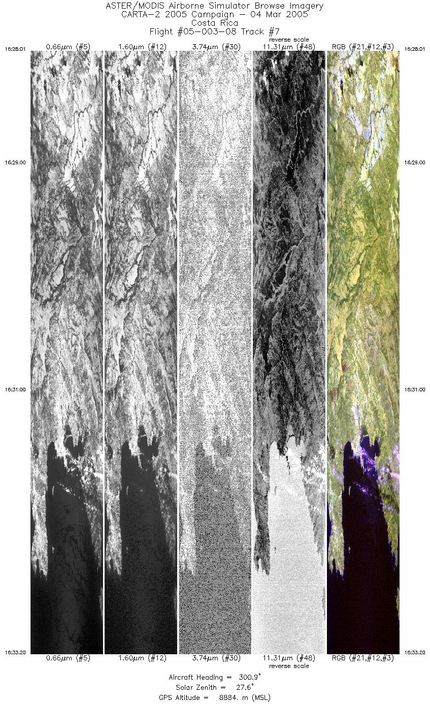
| 7 |
16:28 - 16:33 |
300.5 |
10.810 - 11.017 |
85.502 - 85.811 |
5947 |
8885 |
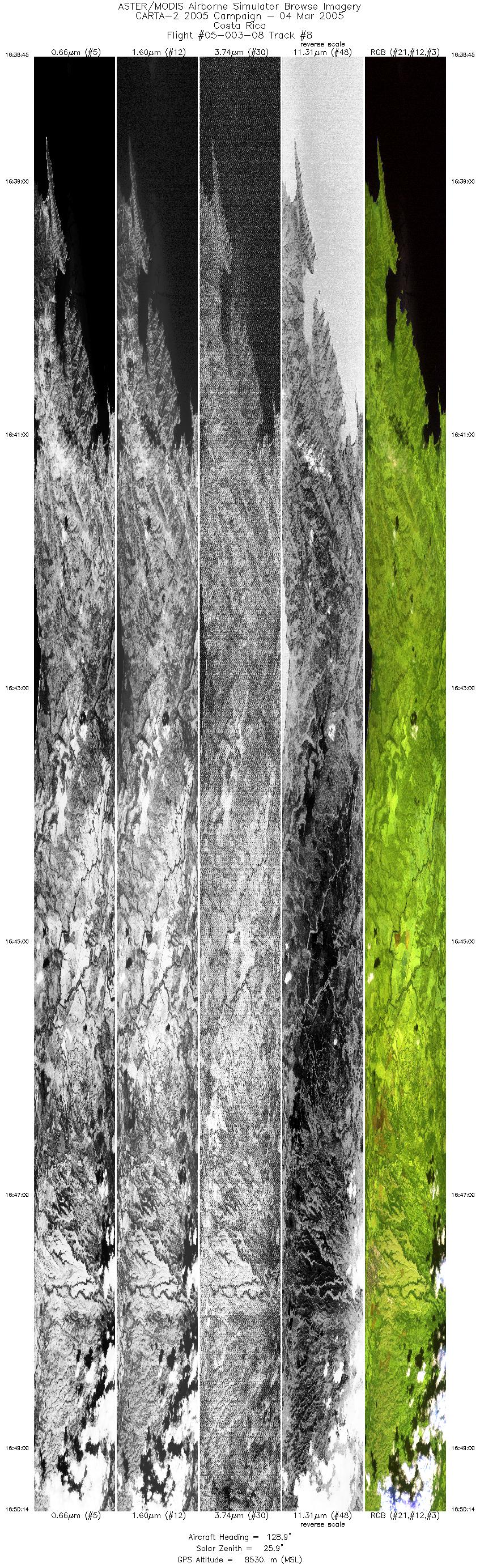
| 8 |
16:38 - 16:50 |
128.6 |
11.007 - 10.613 |
85.891 - 85.308 |
12839 |
8526 |
| 9 |
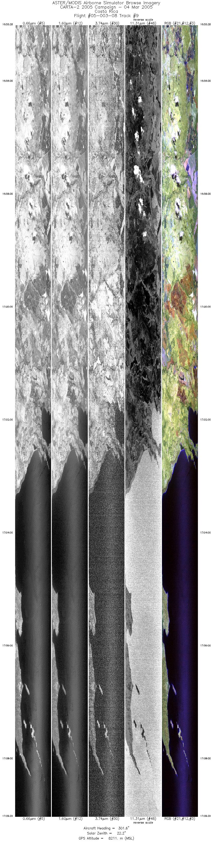
16:55 - 17:09 |
301.5 |
10.407 - 10.908 |
85.250 - 85.992 |
15695 |
8205 |
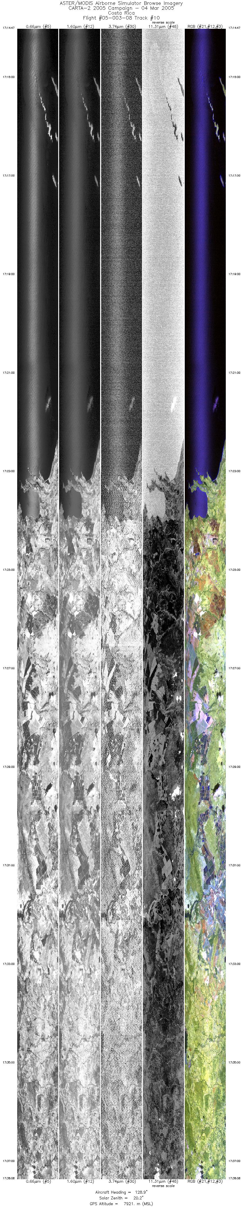
| 10 |
17:14 - 17:38 |
127.1 |
10.884 - 10.108 |
86.012 - 84.867 |
19998 |
7927 |
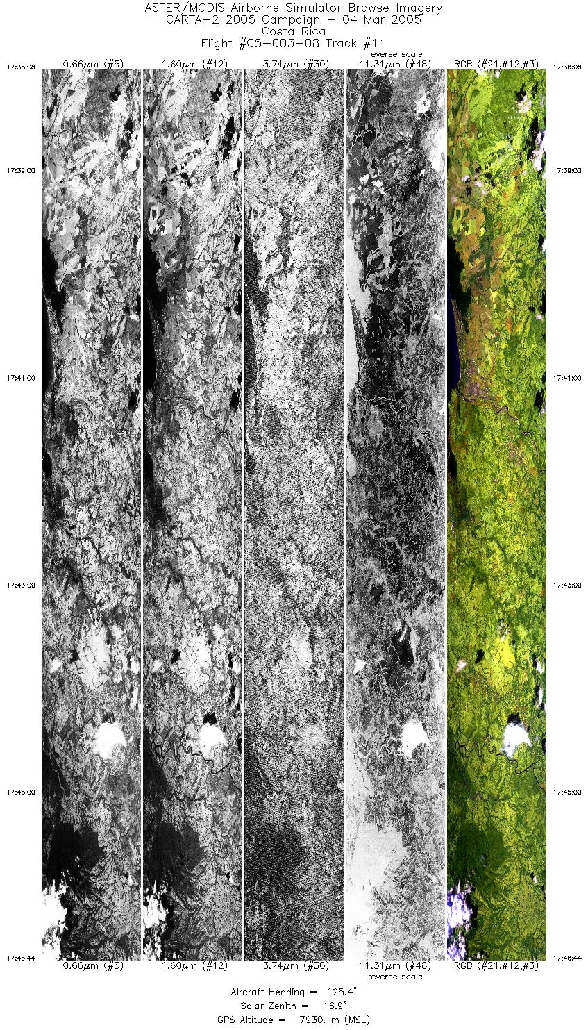
| 11 |
17:38 - 17:46 |
125.2 |
10.108 - 9.810 |
84.867 - 84.429 |
6415 |
7927 |
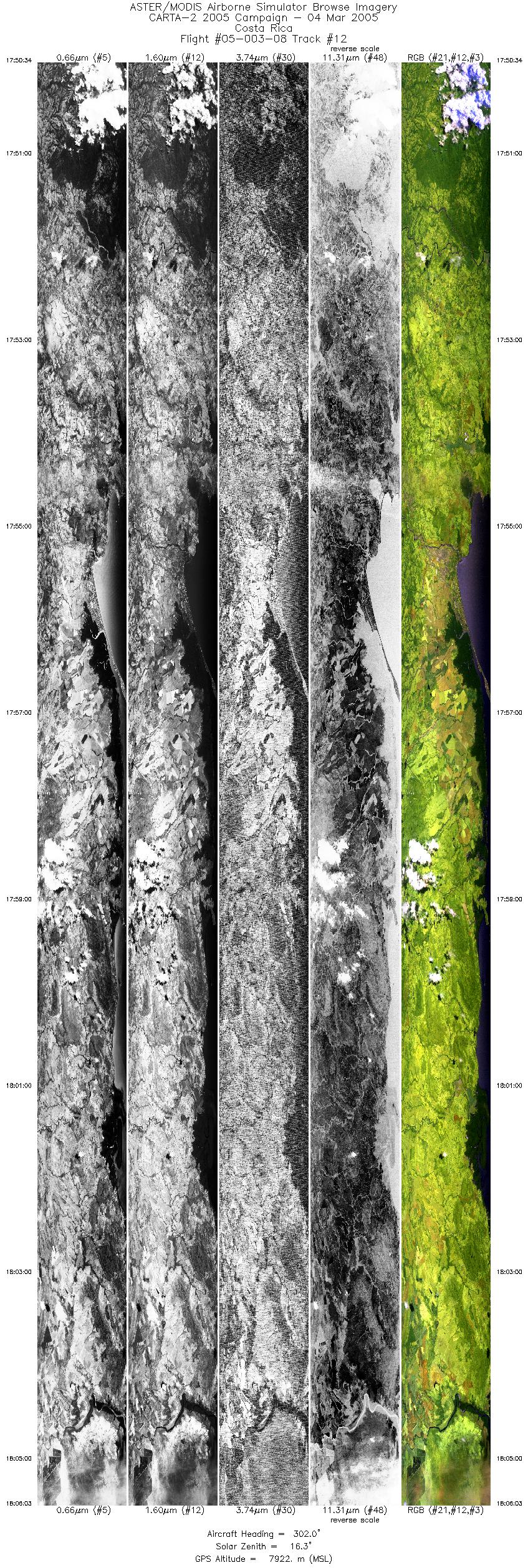
| 12 |
17:50 - 18:06 |
301.6 |
9.779 - 10.336 |
84.438 - 85.257 |
11561 |
7908 |
| 13 |
18:10 - 18:20 |
127.5 |
10.287 - 9.959 |
85.244 - 84.761 |
7438 |
7897 |
|


