


FLIGHT SUMMARY INFORMATION
Flight Track Map


|
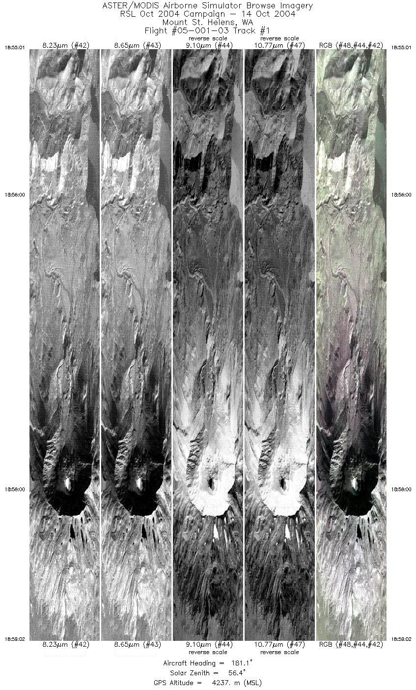
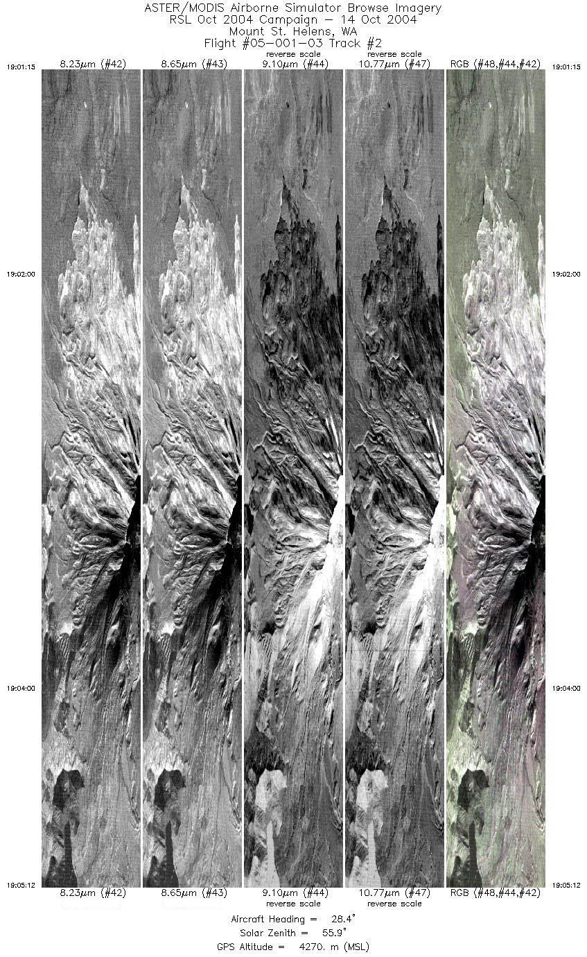
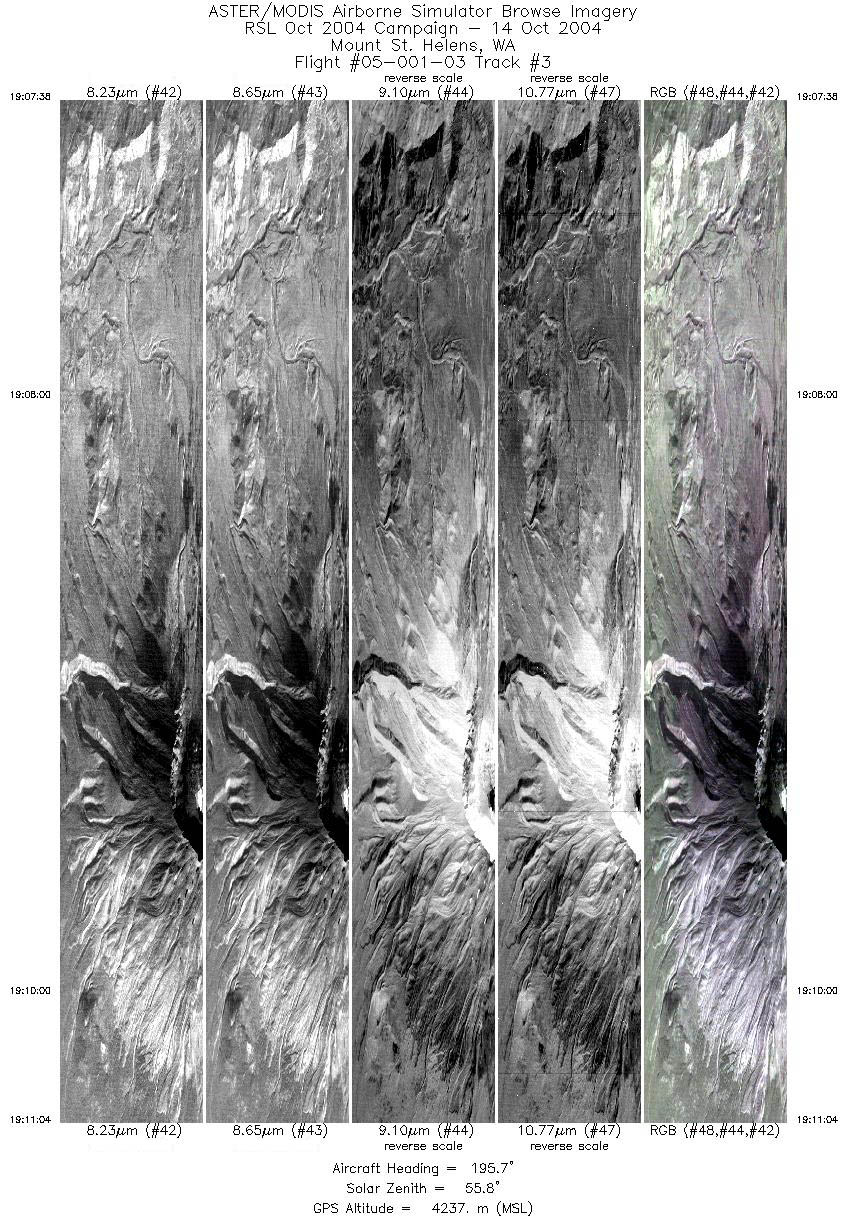
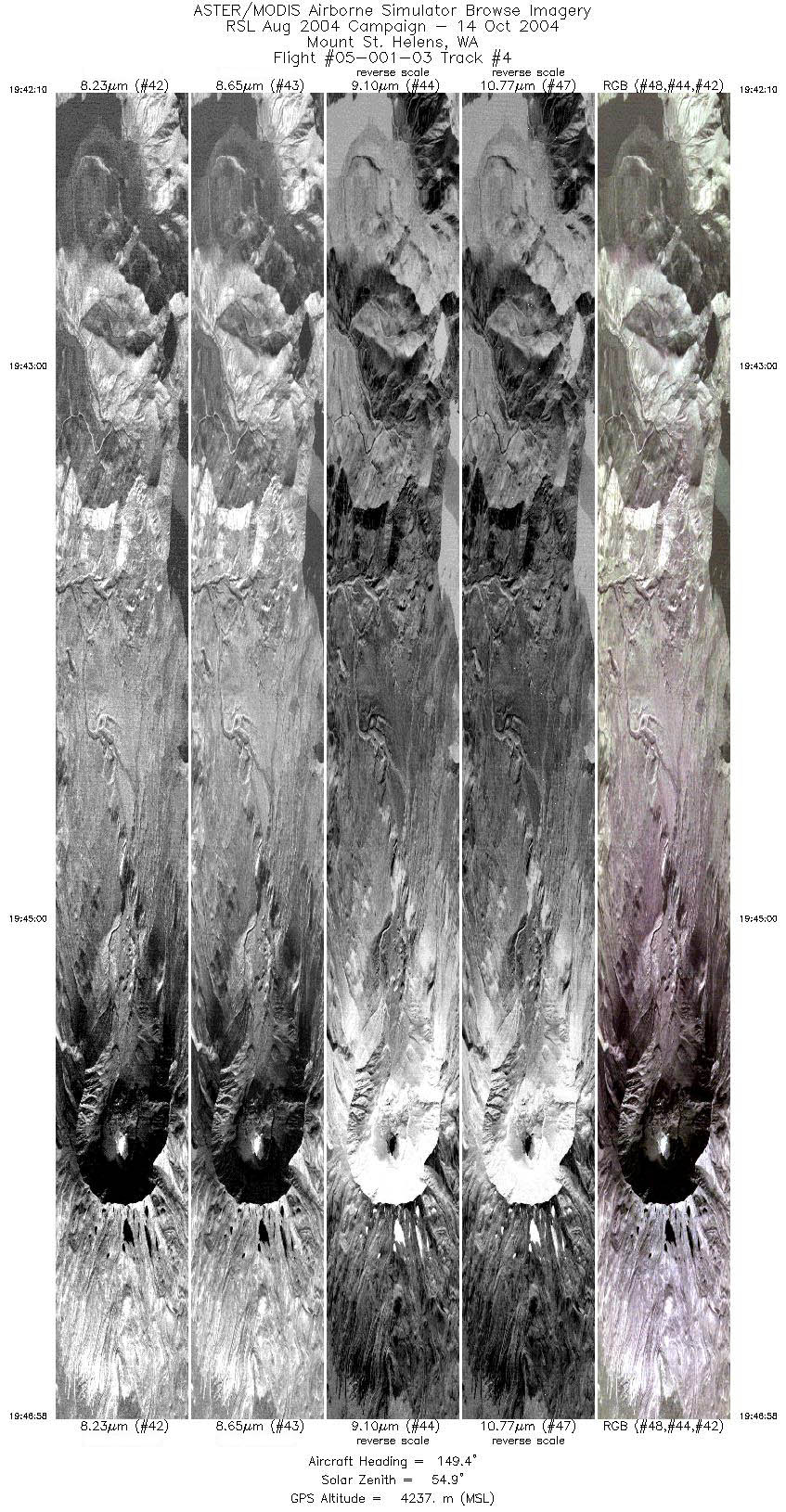
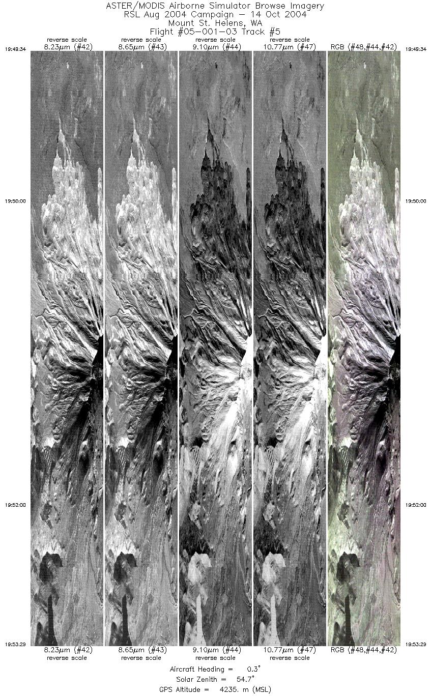
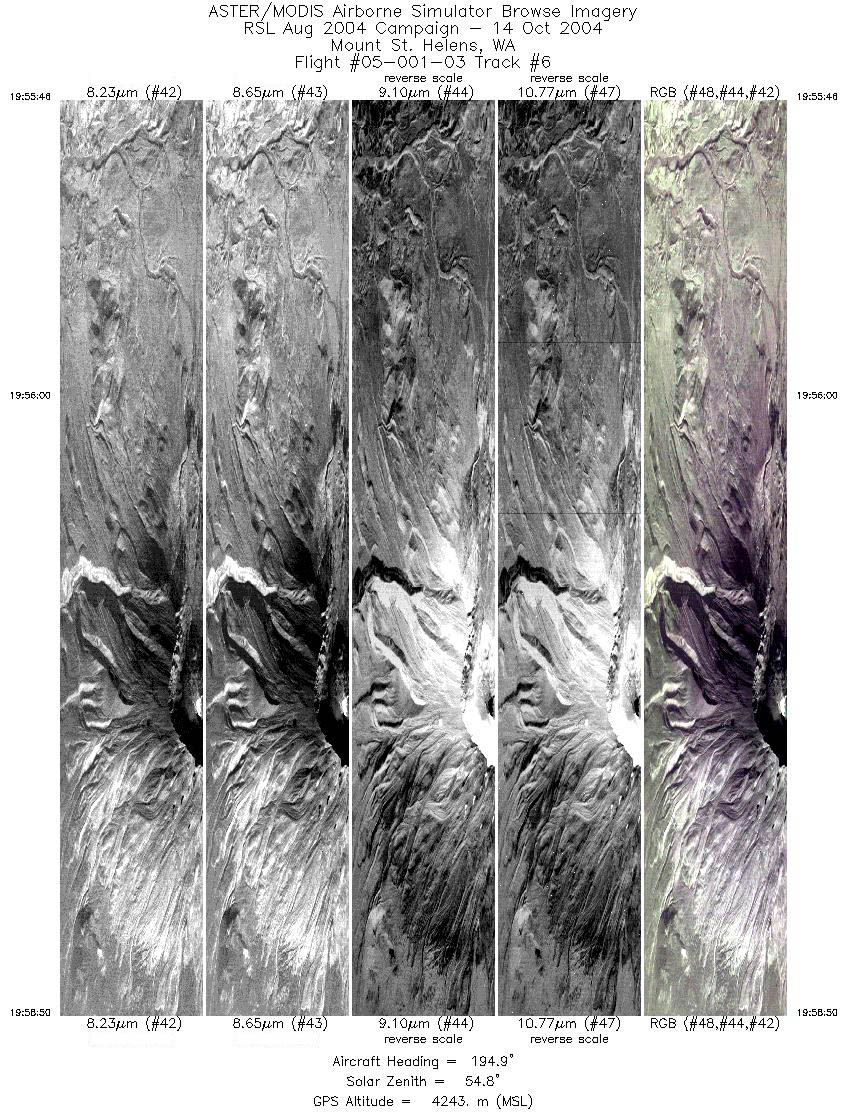
Flight: 05-001-03 Date: October 14, 2004 Aircraft: Sky Research Caravan, #797 Deployment: Sky September 2004 Flight Location: Mount St. Helens (day) Principal Investigator: Hook (JPL), Robinson (USGS) Additional Sensors: |
||||||||||||||||||||||||||||||||||||||||||||||||||||||||||||||||||||||
|
Data Evaluation Weather: Clear Haze: Light Turbulence: Data quality is good. |
||||||||||||||||||||||||||||||||||||||||||||||||||||||||||||||||||||||
|
Processing Information Level-1B Data in HDF format is available Flight Line Summary Spectral Band Configuration (lines 1-3) Spectral Band Configuration (lines 4-6) Spectral Response Function Table Spectral Response Function (text) |
||||||||||||||||||||||||||||||||||||||||||||||||||||||||||||||||||||||
|
Browse Imagery Flight Tracks: 6 Scanlines: 34622 |
||||||||||||||||||||||||||||||||||||||||||||||||||||||||||||||||||||||
|
||||||||||||||||||||||||||||||||||||||||||||||||||||||||||||||||||||||


