Flight: 04-920-00
Date: April 09, 2004
Aircraft: NASA ER2, #809
Deployment: DFRC April 2004
Flight Location: California
Principal Investigator: Hook (JPL), Moeller (UW)
Additional Sensors: MAS, S-HIS, APS
|
Data Evaluation
Weather: Clear
Haze: Light to moderate
Data quality is good.
|
Processing Information
Level-1B Data in HDF format is available
Flight Line Summary
Spectral Band Configuration
Spectral Response Function Table
Spectral Response Function (text)
|
Browse Imagery
Flight Tracks: 15
Scanlines: 71992
|
Browse Imagery Table
|
Click a Flight Track number to view a quicklook image
Lat/Lon ranges are for the BEG-END scanline nadir pixels
|
Flight
Track |
Time Span
(UTC) |
Heading
(Deg) |
Lat Range
(Deg N) |
Lon Range
(Deg W) |
Length
(Scanlines) |
Altitude
(Meters) |
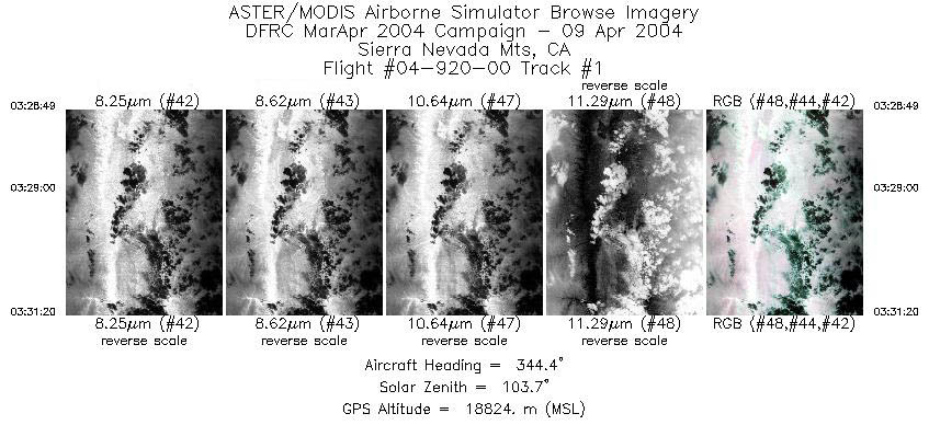
| 1 |
03:28 - 03:31 |
345.1 |
37.023 - 37.291 |
118.250 - 118.338 |
940 |
18799 |
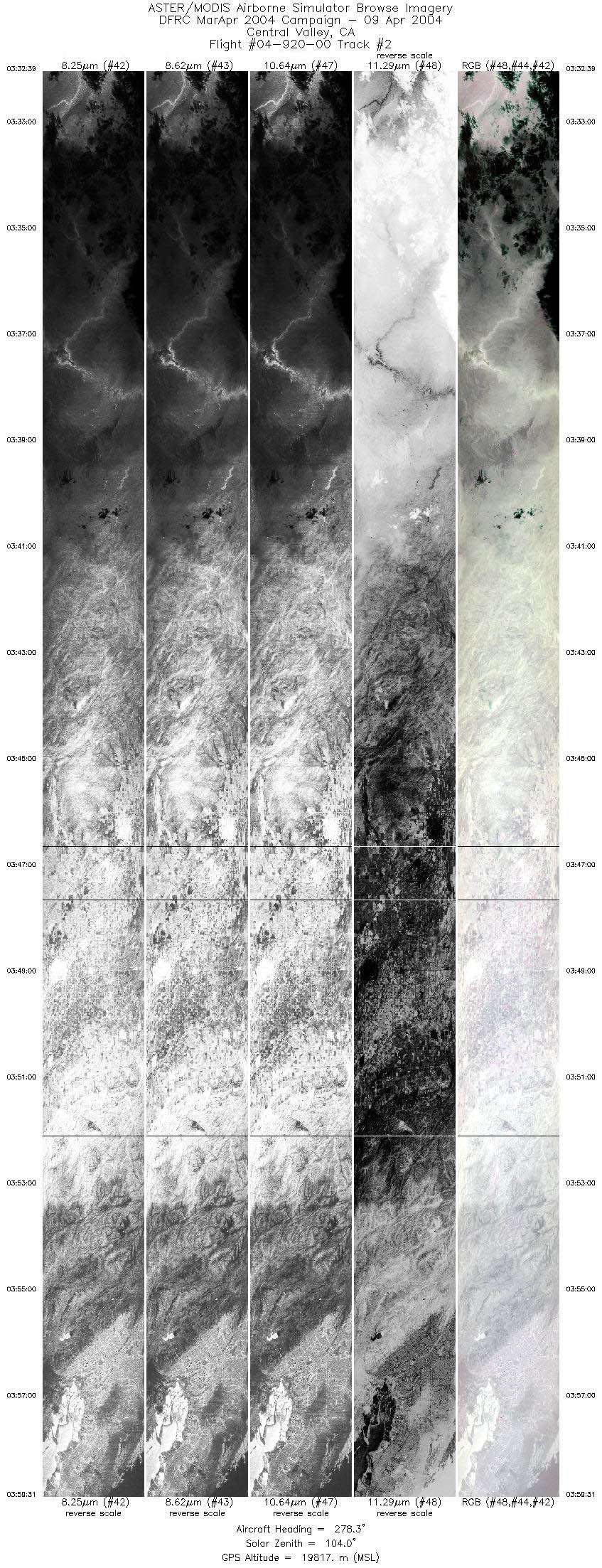
| 2 |
03:32 - 03:59 |
274.8 |
37.377 - 37.394 |
118.471 - 122.242 |
10027 |
19513 |
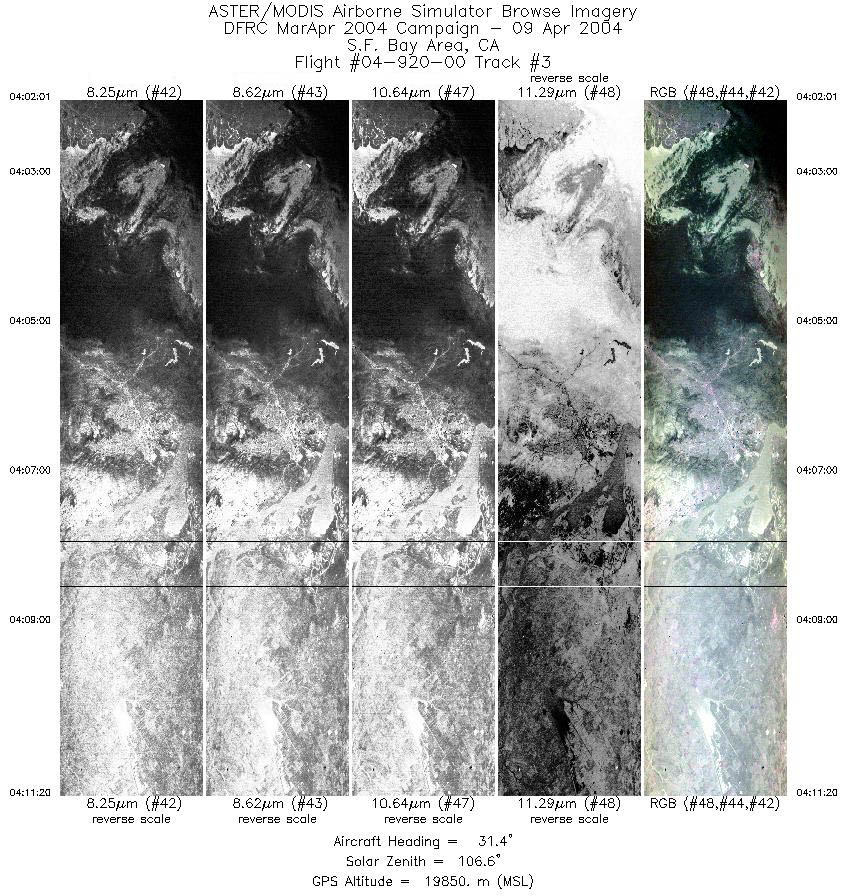
| 3 |
04:02 - 04:11 |
34.6 |
37.563 - 38.393 |
122.402 - 121.602 |
3481 |
19839 |
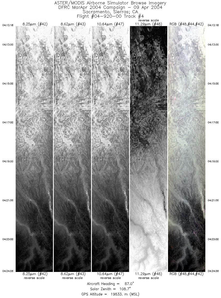
| 4 |
04:12 - 04:24 |
90.8 |
38.437 - 38.346 |
121.482 - 119.656 |
4717 |
19853 |
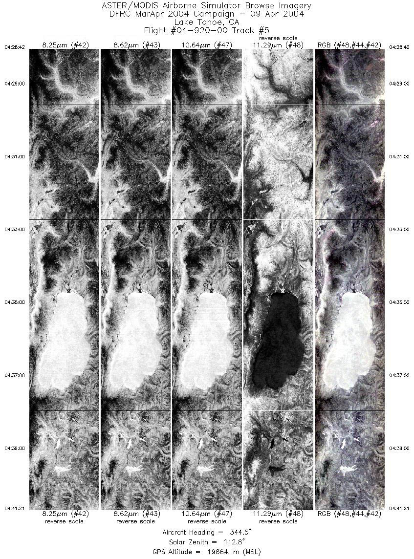
| 5 |
04:28 - 04:41 |
346.1 |
38.227 - 39.597 |
119.741 - 120.185 |
4724 |
19846 |
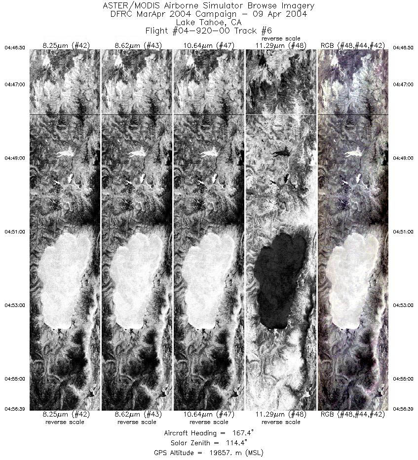
| 6 |
04:46 - 04:56 |
167.4 |
39.792 - 38.700 |
120.254 - 119.898 |
3664 |
19829 |
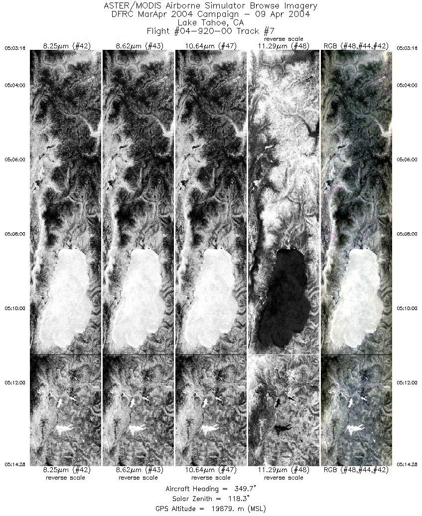
| 7 |
05:03 - 05:14 |
349.2 |
38.361 - 39.585 |
119.790 - 120.180 |
4178 |
19900 |
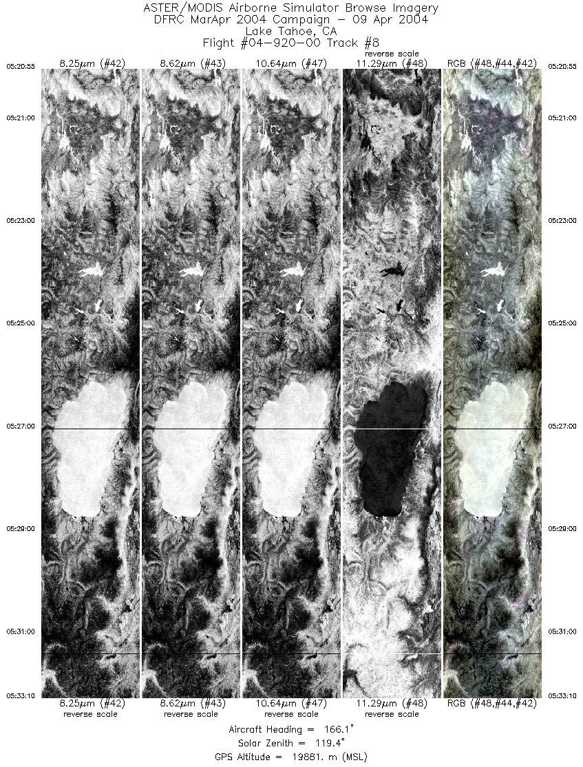
| 8 |
05:20 - 05:33 |
166.6 |
39.909 - 38.554 |
120.292 - 119.854 |
4575 |
19797 |
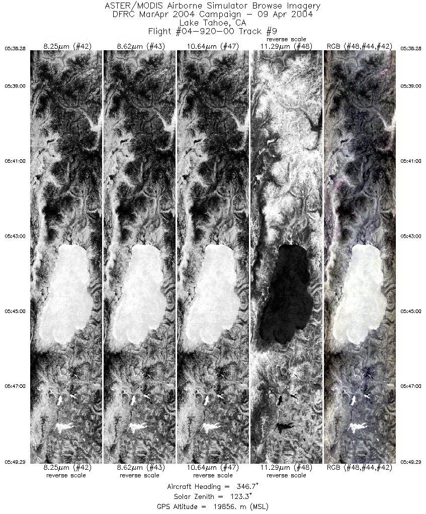
| 9 |
05:38 - 05:49 |
346.9 |
38.379 - 39.584 |
119.797 - 120.181 |
4116 |
19800 |
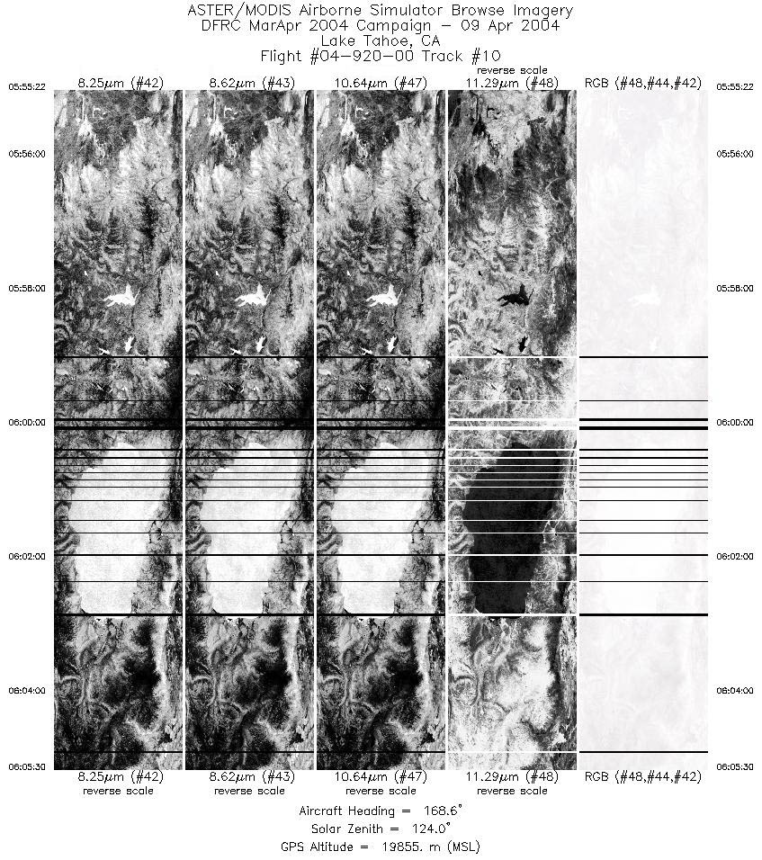
| 10 |
05:55 - 06:05 |
167.9 |
39.818 - 38.696 |
120.259 - 119.898 |
3781 |
19749 |
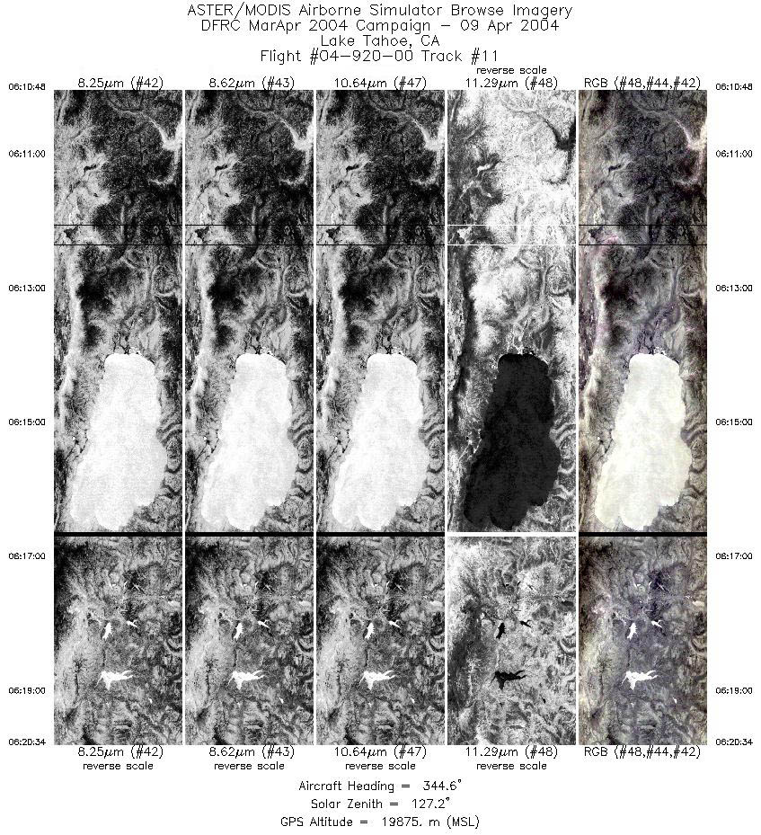
| 11 |
06:10 - 06:20 |
345.7 |
38.525 - 39.587 |
119.837 - 120.180 |
3646 |
19834 |
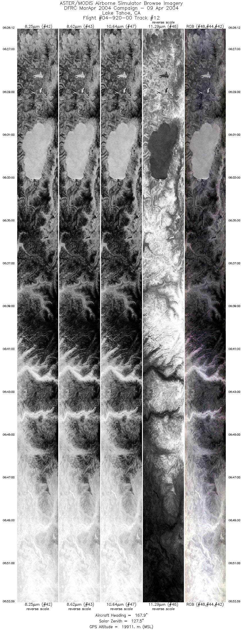
| 12 |
06:26 - 06:52 |
168.4 |
39.718 - 36.760 |
120.225 - 119.336 |
9999 |
19825 |
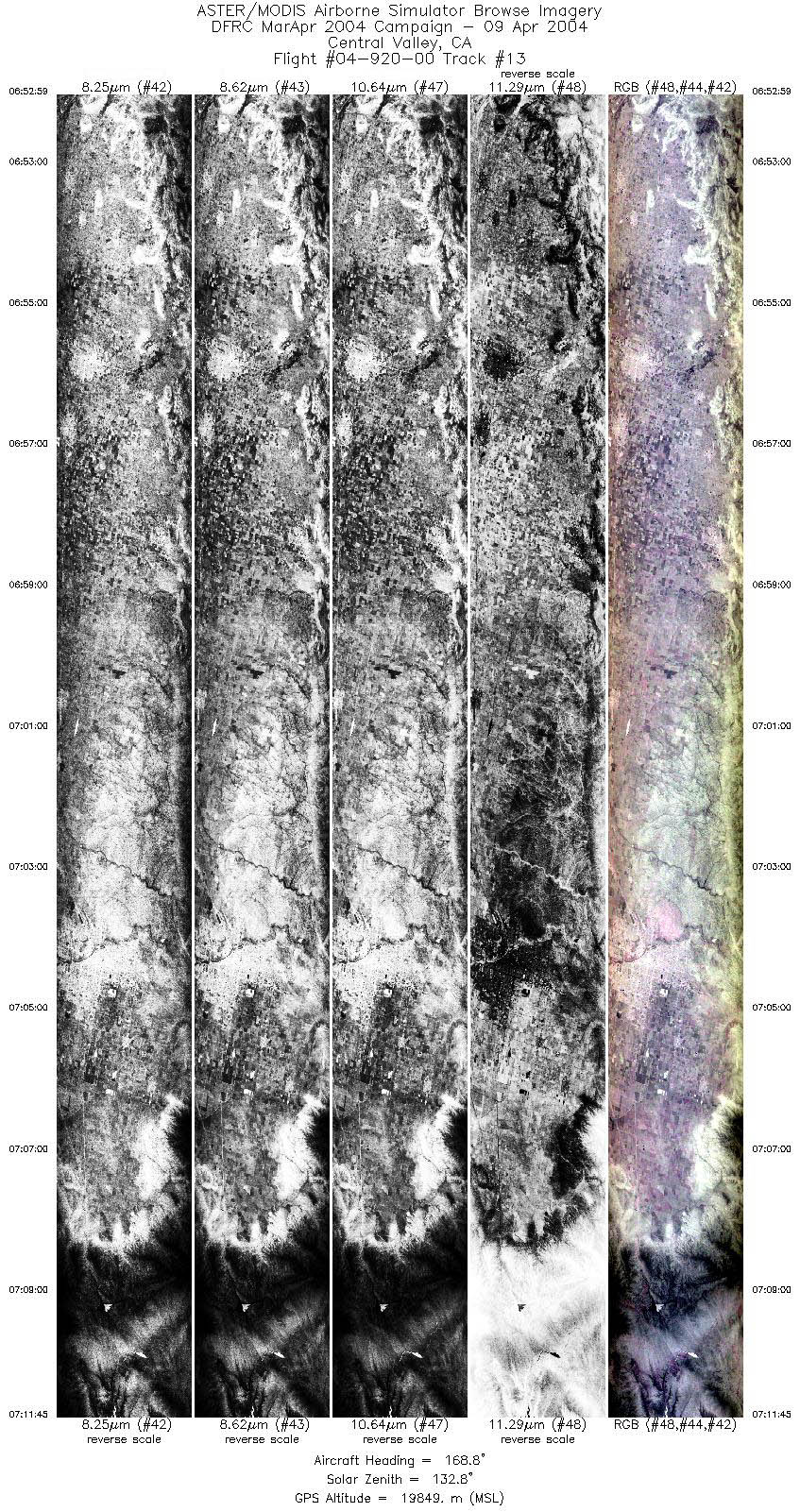
| 13 |
06:52 - 07:11 |
168.4 |
36.760 - 34.666 |
119.335 - 118.760 |
7005 |
19984 |
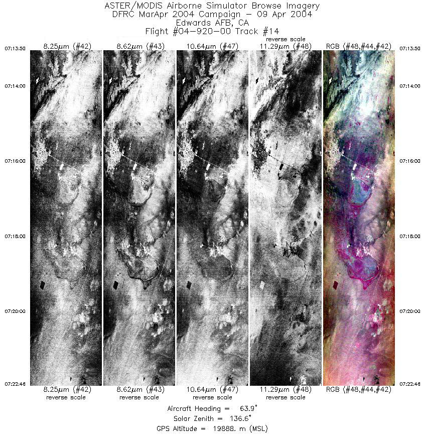
| 14 |
07:13 - 07:22 |
65.3 |
34.648 - 35.068 |
118.542 - 117.426 |
3340 |
19968 |
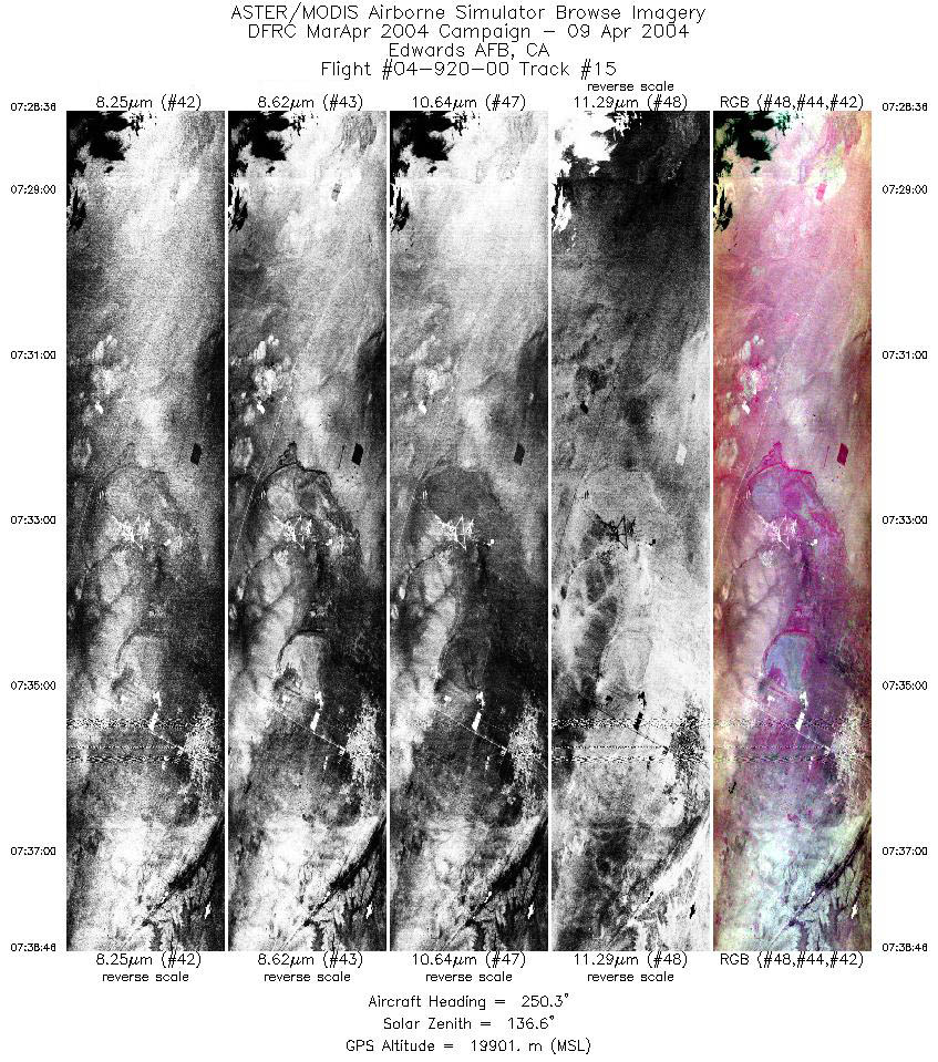
| 15 |
07:28 - 07:38 |
248.0 |
35.135 - 34.664 |
117.239 - 118.503 |
3799 |
19852 |
|


