Flight: 04-609-00
Date: October 24, 2003
Aircraft: NASA ER2, #806
Deployment: DFRC October 2003
Flight Location: California, Pacific Ocean
Principal Investigator:
Additional Sensors: MAS, CPL, VIS
|
Data Evaluation
Weather: Clear
Haze: Light to moderate
Data quality is good.
|
Processing Information
Level-1B Data in HDF format is available
Flight Line Summary
Spectral Band Configuration
Spectral Response Function Table
Spectral Response Function (text)
|
Browse Imagery
Flight Tracks: 14
Scanlines: 54856
|
Browse Imagery Table
|
Click a Flight Track number to view a quicklook image
Lat/Lon ranges are for the BEG-END scanline nadir pixels
|
Flight
Track |
Time Span
(UTC) |
Heading
(Deg) |
Lat Range
(Deg N) |
Lon Range
(Deg W) |
Length
(Scanlines) |
Altitude
(Meters) |
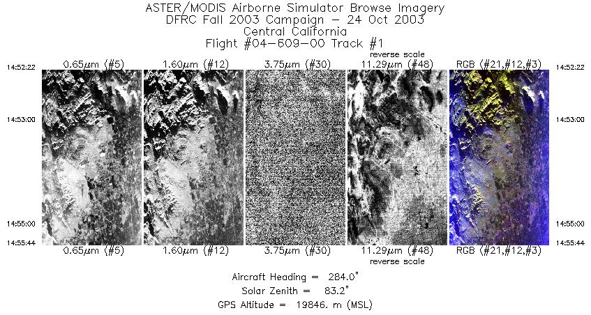
| 1 |
14:52 - 14:55 |
283.5 |
36.802 - 36.875 |
119.311 - 119.768 |
1260 |
19826 |
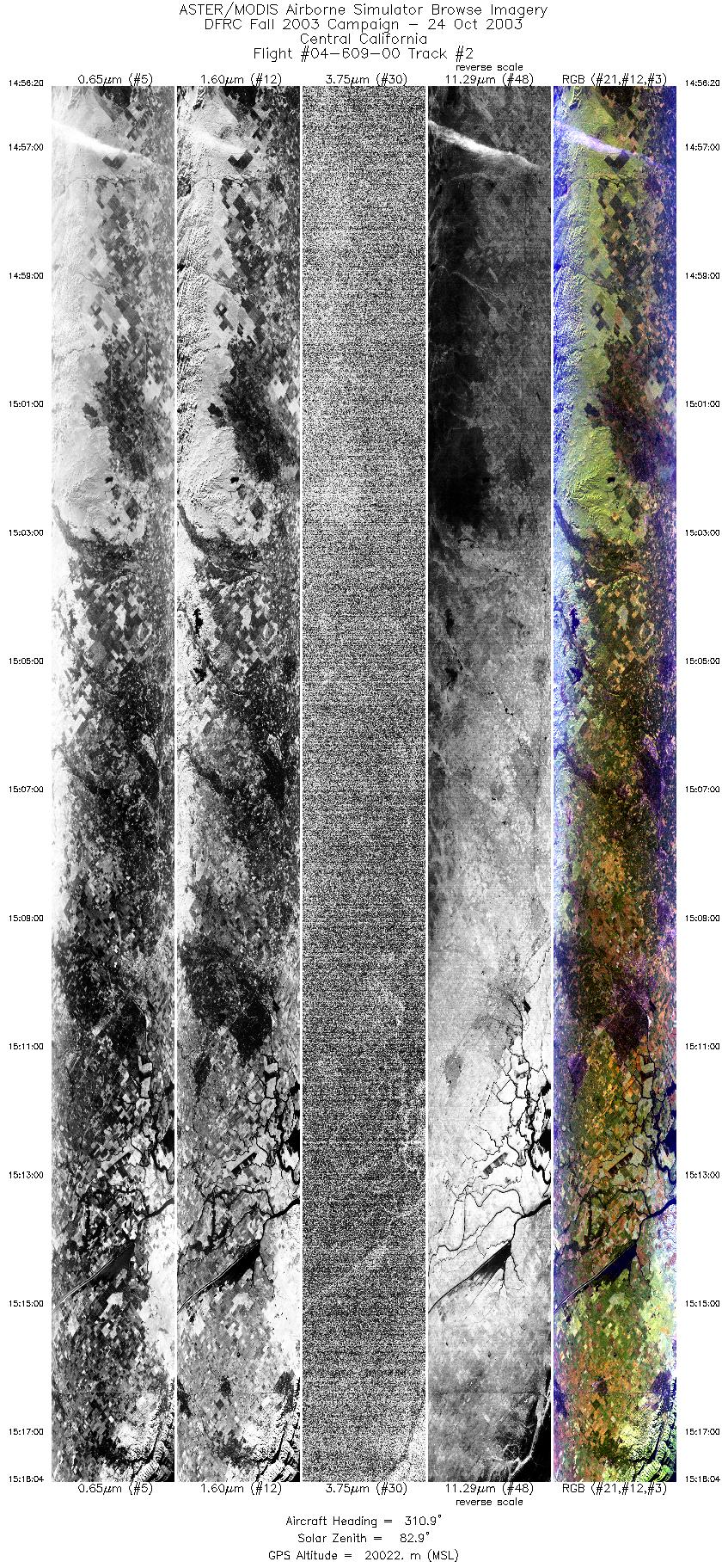
| 2 |
14:56 - 15:18 |
313.1 |
36.904 - 38.538 |
119.842 - 122.017 |
8116 |
19988 |
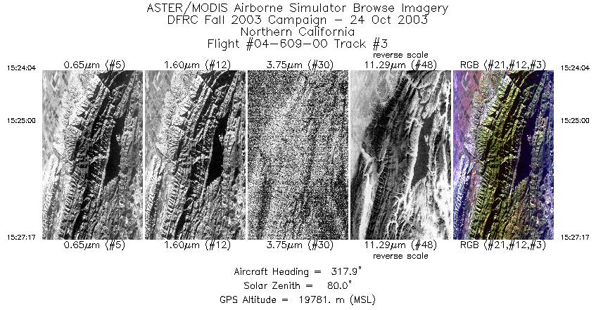
| 3 |
15:24 - 15:27 |
319.7 |
38.512 - 38.770 |
122.041 - 122.335 |
1206 |
19770 |
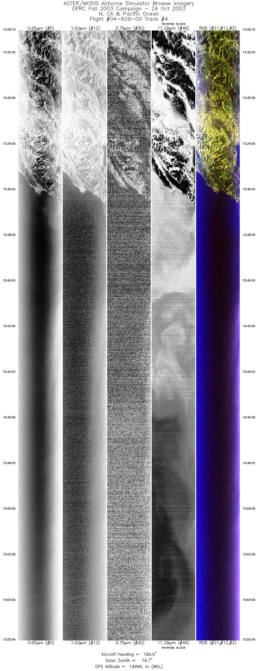
| 4 |
15:29 - 15:55 |
187.1 |
38.718 - 35.630 |
122.536 - 123.084 |
9999 |
19826 |
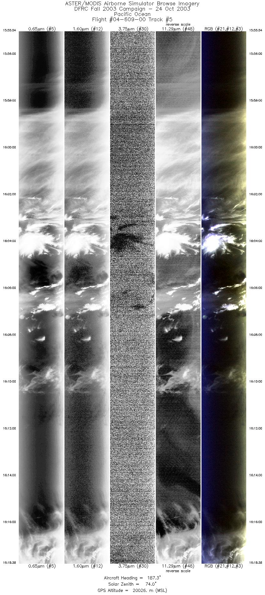
| 5 |
15:55 - 16:18 |
188.1 |
35.630 - 33.043 |
123.084 - 123.521 |
8506 |
20027 |
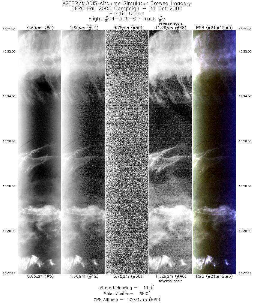
| 6 |
16:21 - 16:32 |
10.5 |
32.998 - 34.155 |
123.292 - 123.076 |
4068 |
20013 |
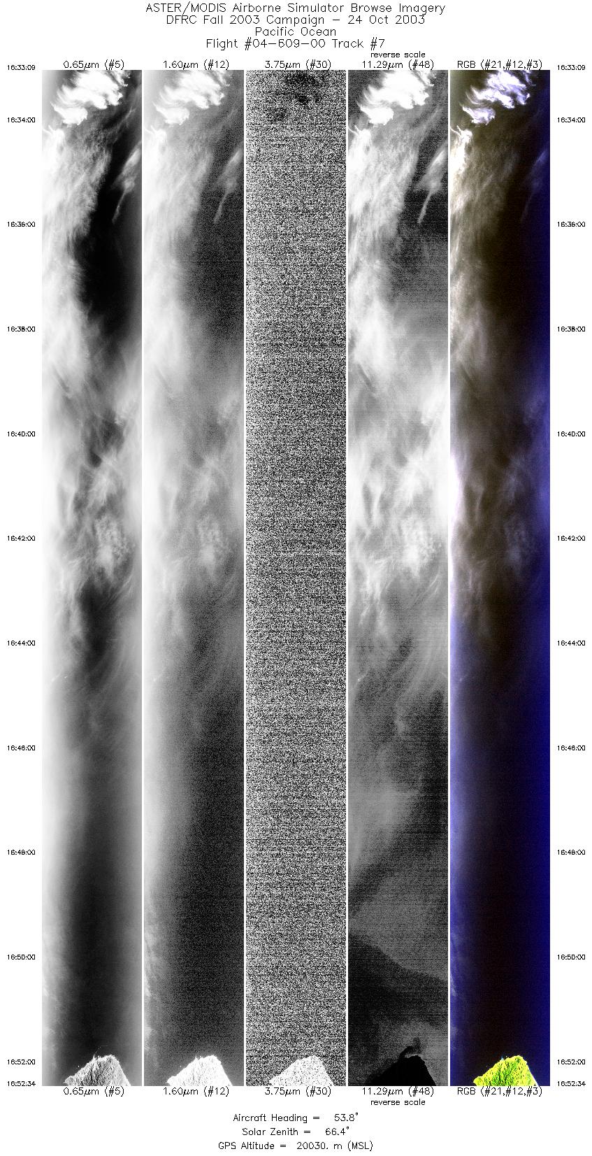
| 7 |
16:33 - 16:52 |
56.9 |
34.231 - 35.236 |
123.017 - 120.796 |
7268 |
20030 |
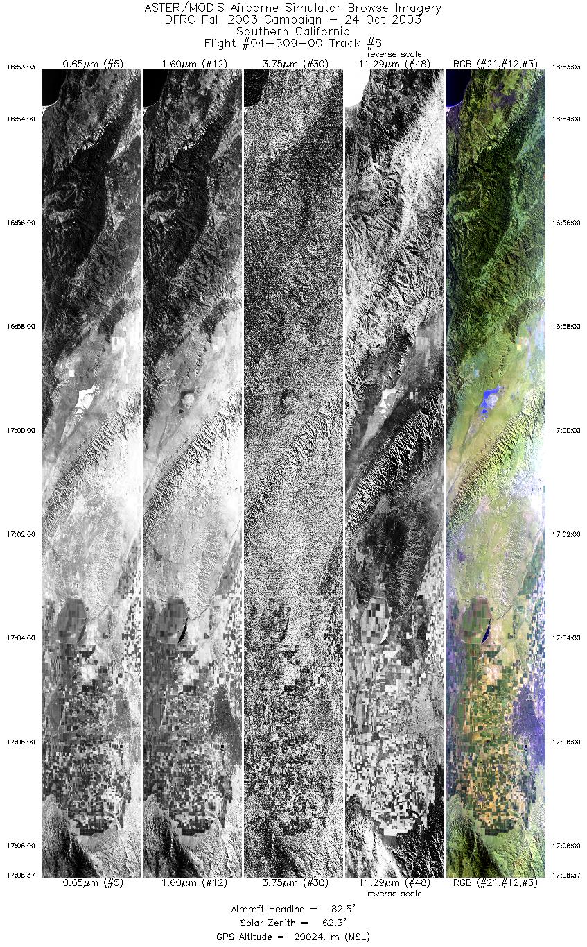
| 8 |
16:53 - 17:08 |
85.5 |
35.251 - 35.250 |
120.733 - 118.623 |
5825 |
20020 |
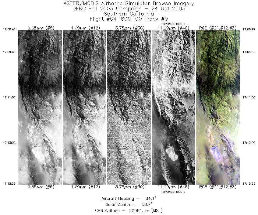
| 9 |
17:08 - 17:15 |
81.0 |
35.251 - 35.371 |
118.600 - 117.701 |
2544 |
20061 |
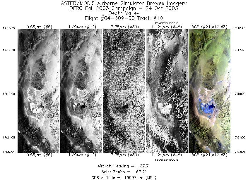
| 10 |
17:16 - 17:22 |
32.1 |
35.417 - 35.917 |
117.611 - 117.210 |
2115 |
20032 |
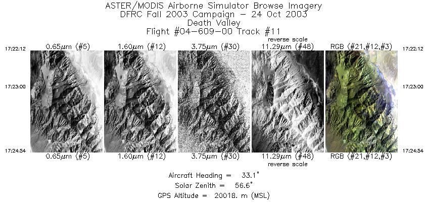
| 11 |
17:22 - 17:24 |
33.3 |
35.930 - 36.169 |
117.201 - 117.004 |
1012 |
19995 |
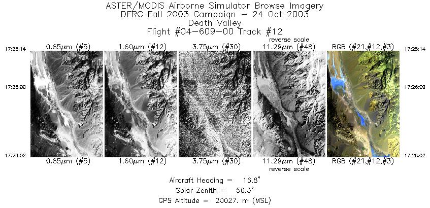
| 12 |
17:25 - 17:28 |
17.9 |
36.200 - 36.485 |
116.986 - 116.865 |
1053 |
20011 |
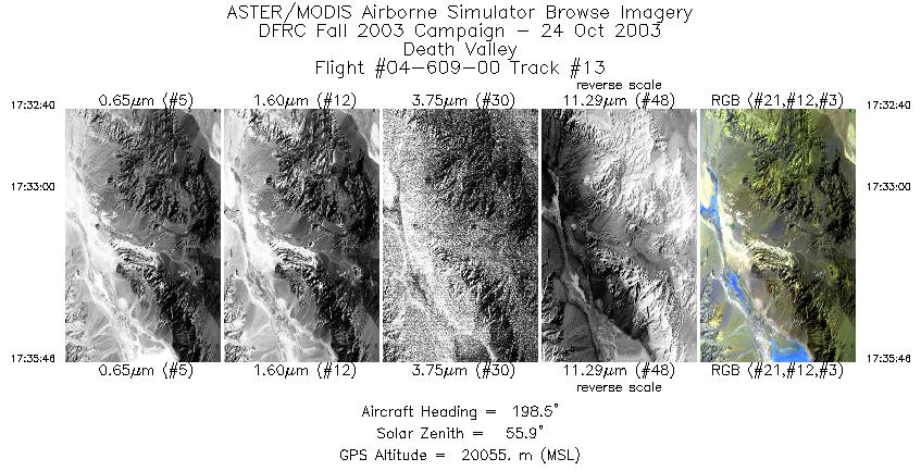
| 13 |
17:32 - 17:35 |
198.1 |
36.585 - 36.249 |
116.700 - 116.839 |
1165 |
20063 |
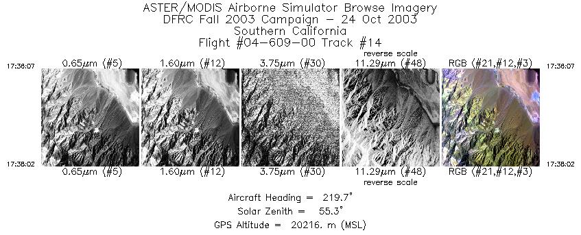
| 14 |
17:36 - 17:38 |
220.0 |
36.214 - 36.047 |
116.863 - 117.034 |
719 |
20200 |
|


