Flight: 04-607-00
Date: October 18, 2003
Aircraft: NASA ER2, #806
Deployment: DFRC October 2003
Flight Location: Western United States
Principal Investigator:
Additional Sensors: MAS, CPL, VIS
|
Data Evaluation
Weather: Clear
Haze: Light to moderate
Data quality is good.
|
Processing Information
Level-1B Data in HDF format is available
Flight Line Summary
Spectral Band Configuration
Spectral Response Function Table
Spectral Response Function (text)
|
Browse Imagery
Flight Tracks: 19
Scanlines: 108538
|
Browse Imagery Table
|
Click a Flight Track number to view a quicklook image
Lat/Lon ranges are for the BEG-END scanline nadir pixels
|
Flight
Track |
Time Span
(UTC) |
Heading
(Deg) |
Lat Range
(Deg N) |
Lon Range
(Deg W) |
Length
(Scanlines) |
Altitude
(Meters) |
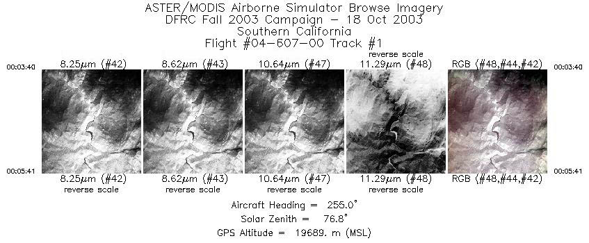
| 1 |
00:03 - 00:05 |
255.1 |
37.179 - 37.118 |
119.266 - 119.535 |
753 |
19683 |
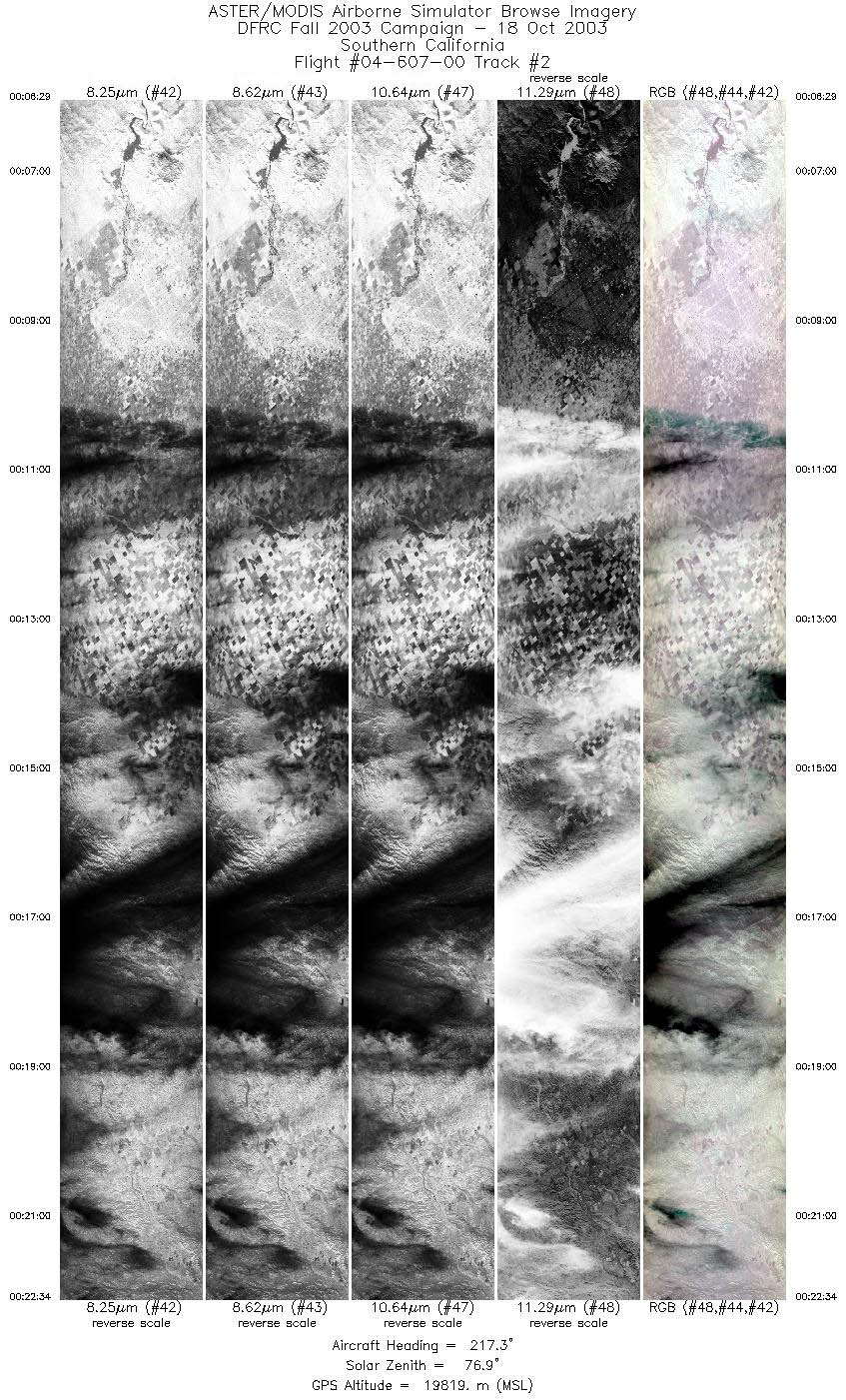
| 2 |
00:06 - 00:22 |
214.4 |
37.067 - 35.513 |
119.623 - 120.800 |
6007 |
19818 |
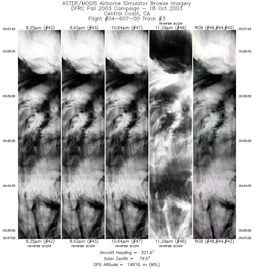
| 3 |
00:27 - 00:37 |
322.8 |
35.842 - 36.665 |
121.157 - 121.921 |
3487 |
19807 |
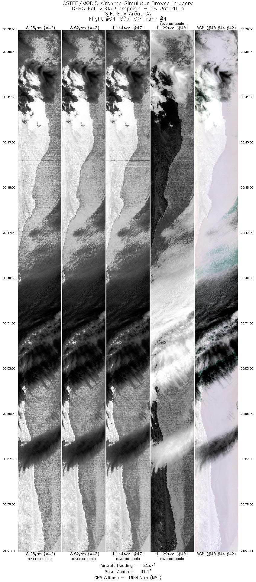
| 4 |
00:38 - 01:01 |
329.5 |
36.755 - 38.971 |
122.019 - 123.727 |
8617 |
19851 |
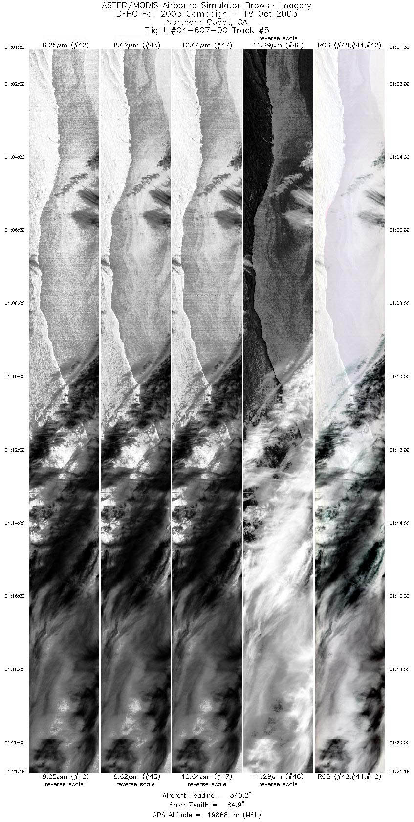
| 5 |
01:01 - 01:21 |
342.8 |
39.009 - 41.203 |
123.750 - 124.424 |
7402 |
19866 |
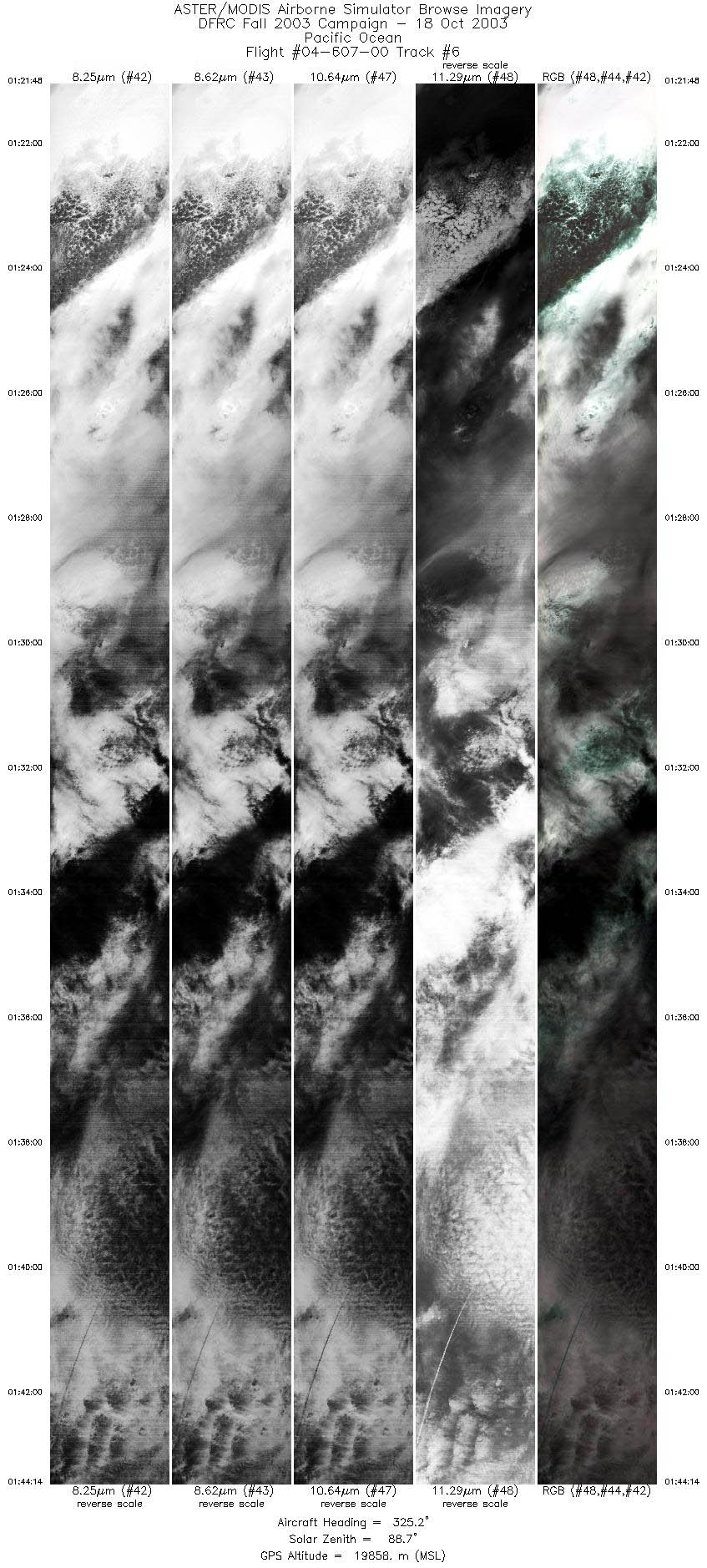
| 6 |
01:21 - 01:44 |
321.7 |
41.251 - 43.208 |
124.453 - 126.570 |
8391 |
19873 |
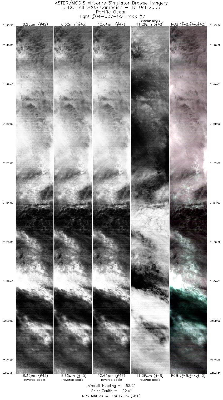
| 7 |
01:45 - 02:03 |
54.2 |
43.380 - 44.547 |
126.534 - 124.121 |
6599 |
19805 |
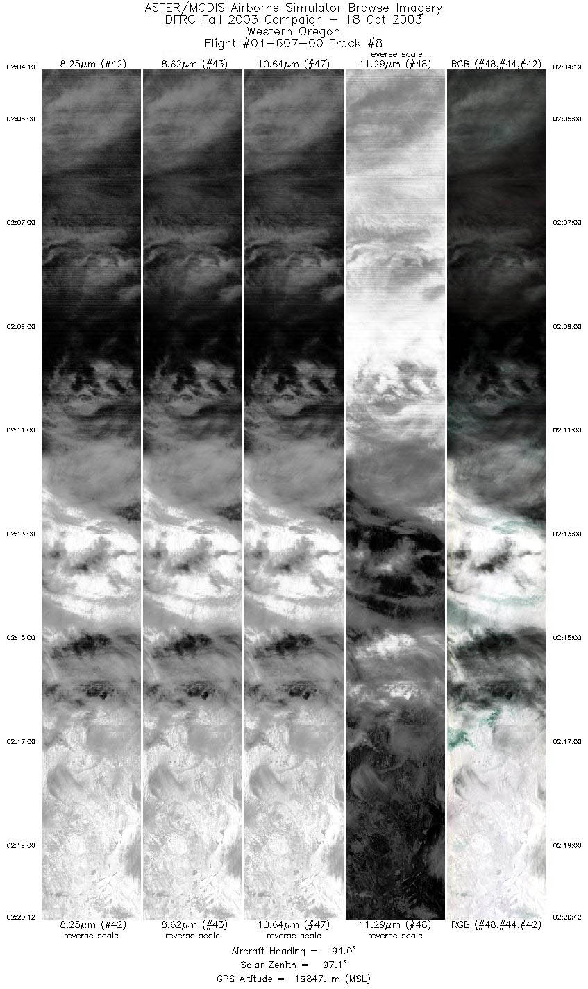
| 8 |
02:04 - 02:20 |
98.2 |
44.568 - 44.265 |
124.001 - 121.412 |
6129 |
19786 |
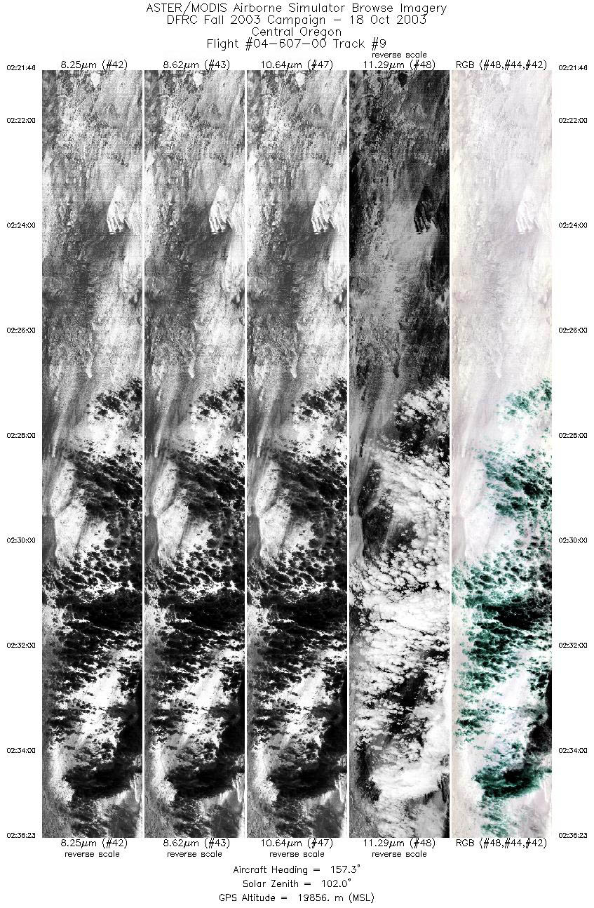
| 9 |
02:21 - 02:36 |
159.7 |
44.191 - 42.637 |
121.284 - 120.573 |
5471 |
19862 |
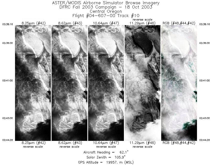
| 10 |
02:38 - 02:44 |
60.1 |
42.579 - 42.950 |
120.340 - 119.565 |
2309 |
19968 |
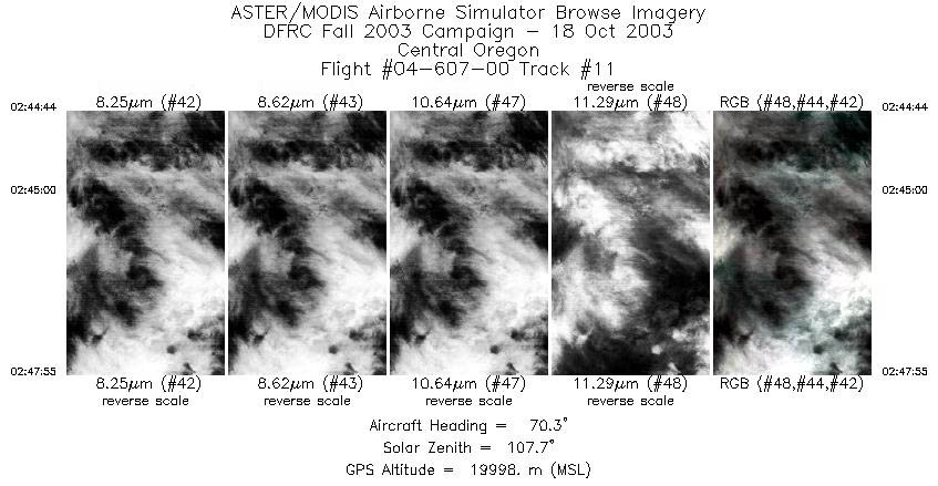
| 11 |
02:44 - 02:47 |
70.8 |
42.965 - 43.086 |
119.528 - 119.080 |
1198 |
19996 |
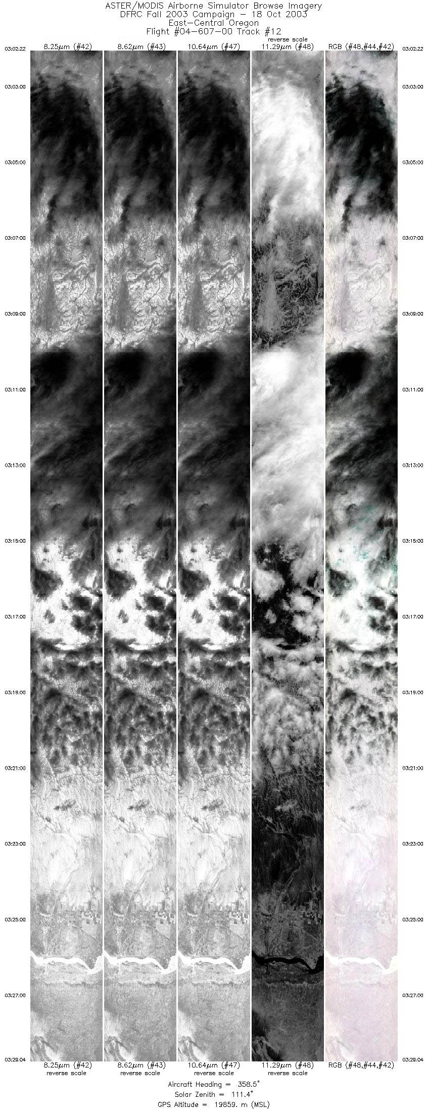
| 12 |
03:02 - 03:29 |
353.3 |
43.229 - 46.217 |
118.915 - 119.506 |
9999 |
19872 |
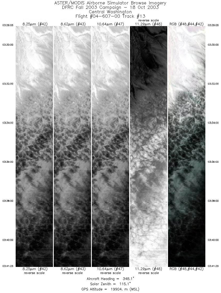
| 13 |
03:29 - 03:41 |
348.5 |
46.217 - 47.603 |
119.506 - 119.810 |
4623 |
19863 |
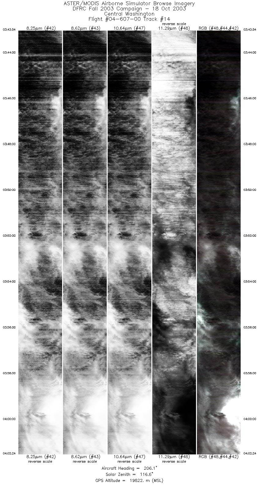
| 14 |
03:43 - 04:02 |
204.5 |
47.573 - 45.743 |
120.071 - 121.087 |
6933 |
19763 |
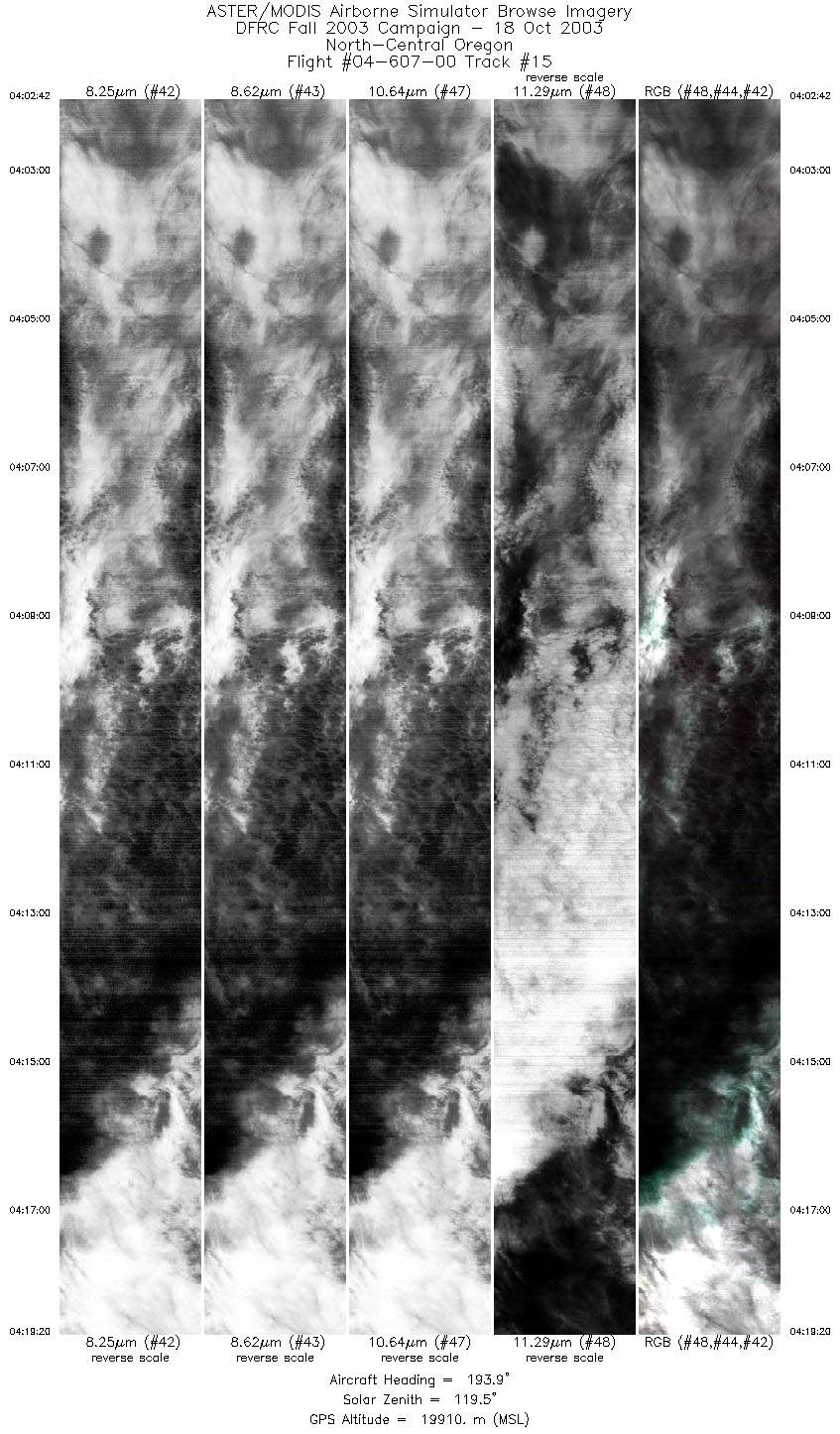
| 15 |
04:02 - 04:19 |
190.2 |
45.713 - 43.922 |
121.099 - 121.374 |
6234 |
19843 |
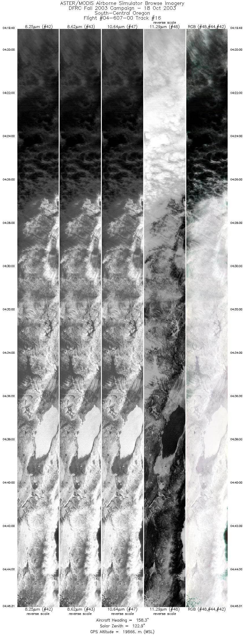
| 16 |
04:19 - 04:46 |
160.3 |
43.871 - 41.077 |
121.366 - 120.123 |
9999 |
19843 |
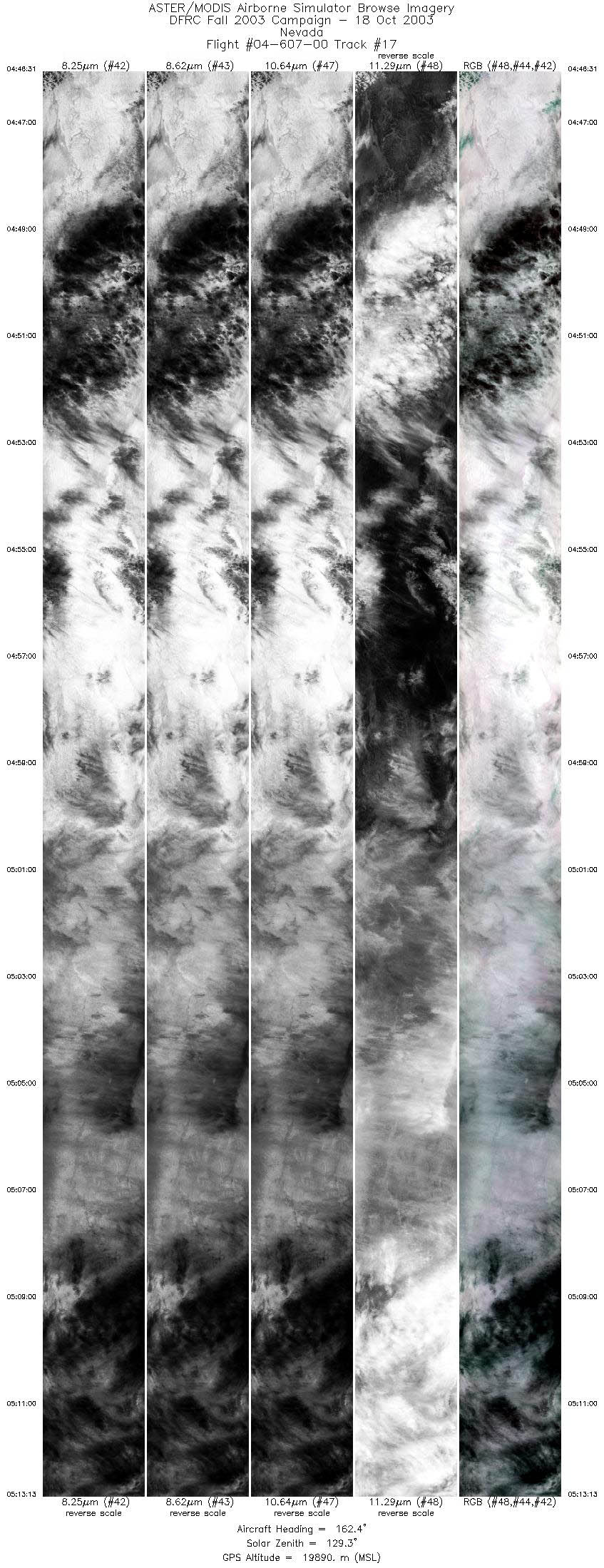
| 17 |
04:46 - 05:13 |
160.7 |
41.077 - 38.284 |
120.123 - 118.786 |
9999 |
19881 |
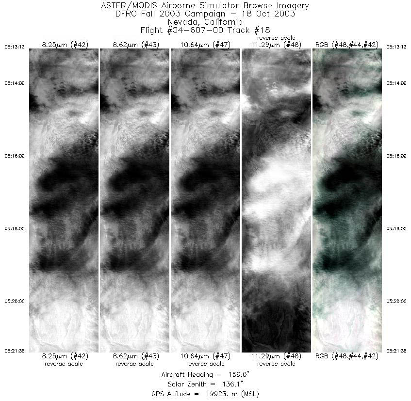
| 18 |
05:13 - 05:21 |
158.8 |
38.284 - 37.407 |
118.786 - 118.381 |
3135 |
19911 |
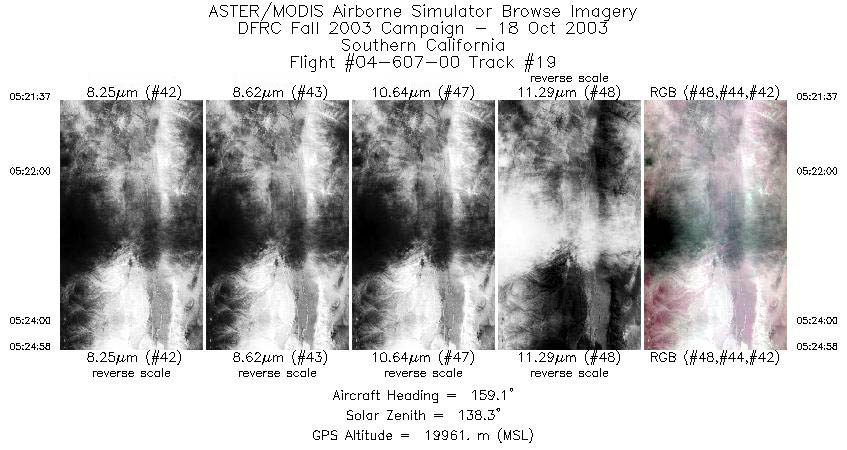
| 19 |
05:21 - 05:24 |
162.8 |
37.402 - 37.044 |
118.379 - 118.277 |
1253 |
19927 |
|


