Flight: 04-606-00
Date: October 17, 2003
Aircraft: NASA ER2, #806
Deployment: DFRC October 2003
Flight Location: Western United States
Principal Investigator:
Additional Sensors: MAS, CPL, VIS
|
Data Evaluation
Weather: Clear
Haze: Light to moderate
Data quality is good.
|
Processing Information
Level-1B Data in HDF format is available
Flight Line Summary
Spectral Band Configuration
Spectral Response Function Table
Spectral Response Function (text)
|
Browse Imagery
Flight Tracks: 20
Scanlines: 108744
|
Browse Imagery Table
|
Click a Flight Track number to view a quicklook image
Lat/Lon ranges are for the BEG-END scanline nadir pixels
|
Flight
Track |
Time Span
(UTC) |
Heading
(Deg) |
Lat Range
(Deg N) |
Lon Range
(Deg W) |
Length
(Scanlines) |
Altitude
(Meters) |
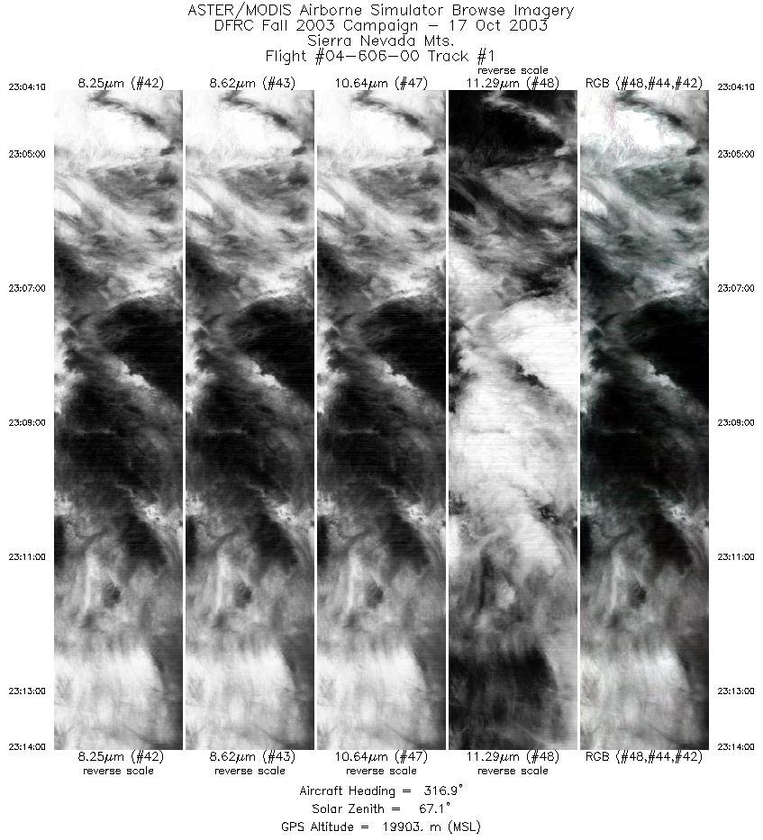
| 1 |
23:04 - 23:14 |
316.9 |
37.700 - 38.479 |
118.728 - 119.621 |
3668 |
19748 |
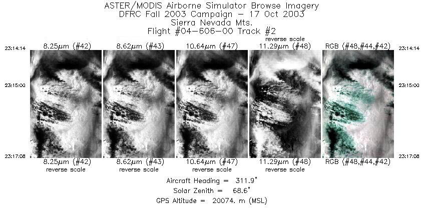
| 2 |
23:14 - 23:17 |
308.2 |
38.496 - 38.671 |
119.643 - 119.963 |
1083 |
20076 |
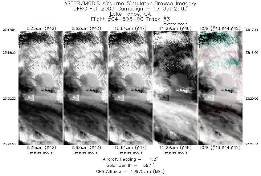
| 3 |
23:17 - 23:22 |
359.0 |
38.740 - 39.286 |
120.007 - 119.999 |
1862 |
20055 |
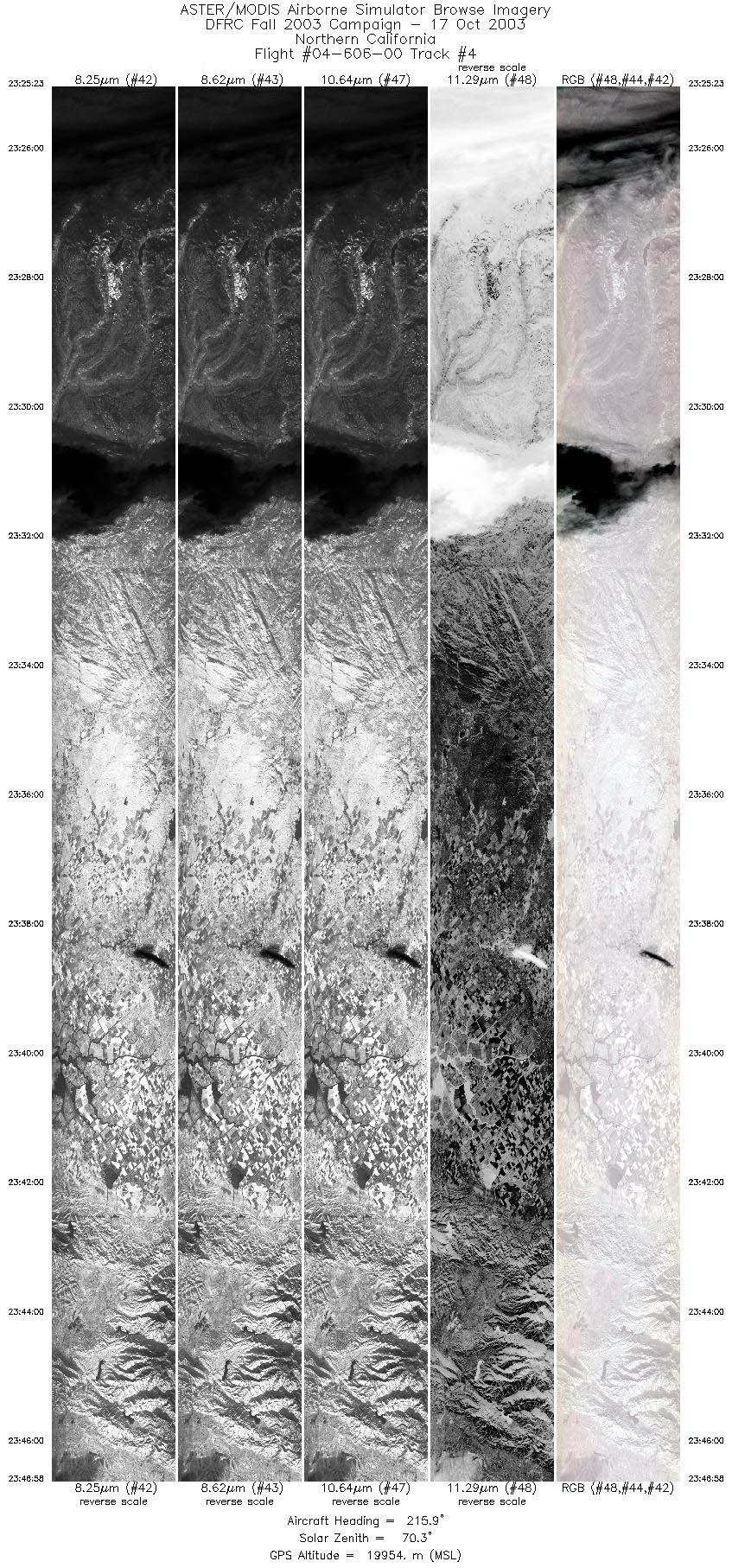
| 4 |
23:25 - 23:46 |
216.1 |
39.337 - 37.401 |
120.246 - 121.923 |
8070 |
19971 |
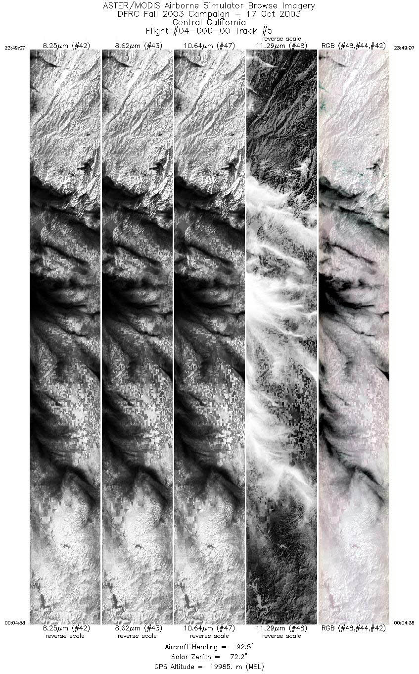
| 5 |
23:49 - 00:04 |
93.1 |
37.225 - 37.103 |
121.807 - 119.585 |
5808 |
19974 |
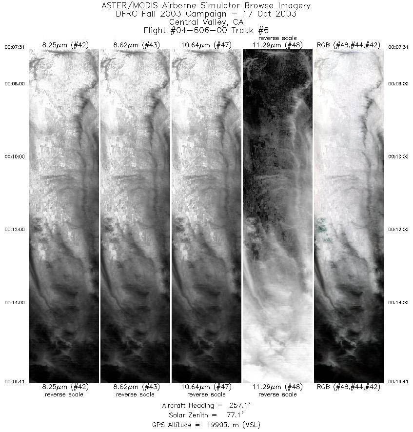
| 6 |
00:07 - 00:16 |
259.1 |
36.884 - 36.714 |
119.569 - 120.788 |
3434 |
19895 |
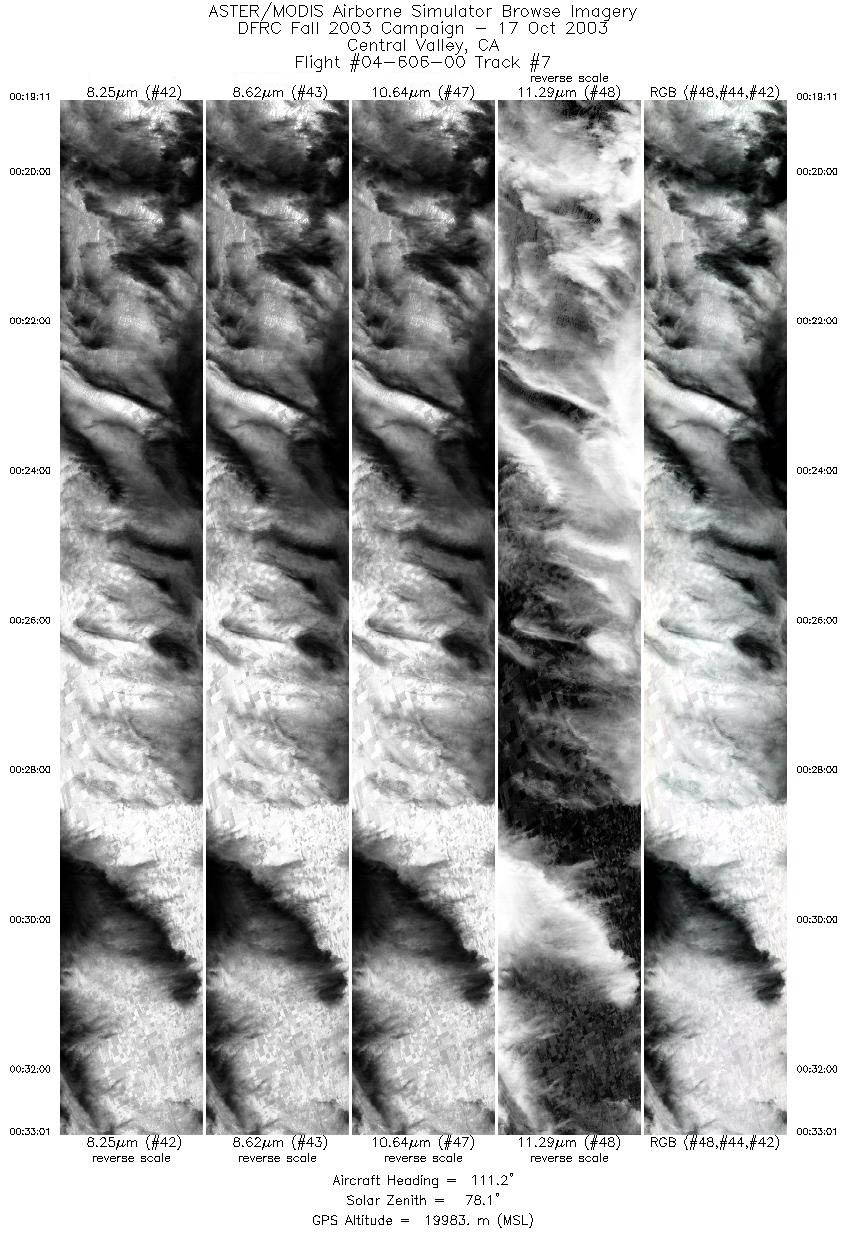
| 7 |
00:19 - 00:33 |
111.2 |
36.515 - 35.908 |
120.807 - 119.013 |
5176 |
19945 |
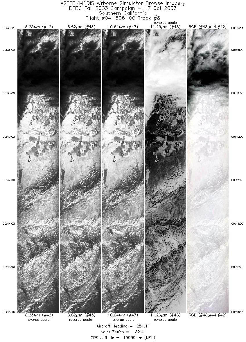
| 8 |
00:35 - 00:48 |
252.1 |
35.718 - 35.275 |
119.005 - 120.678 |
4887 |
19923 |
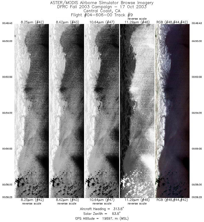
| 9 |
00:49 - 00:59 |
312.7 |
35.326 - 36.038 |
120.852 - 121.809 |
3629 |
19904 |
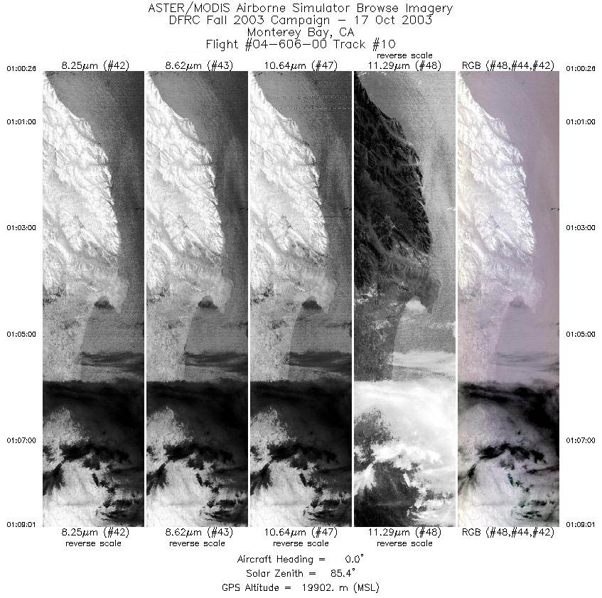
| 10 |
01:00 - 01:09 |
359.0 |
36.139 - 37.085 |
121.855 - 121.852 |
3213 |
19918 |
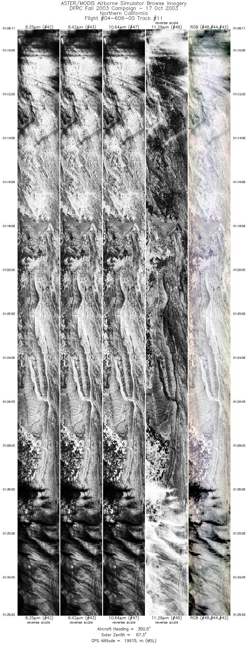
| 11 |
01:09 - 01:35 |
349.0 |
37.104 - 39.975 |
121.854 - 122.469 |
9999 |
19878 |
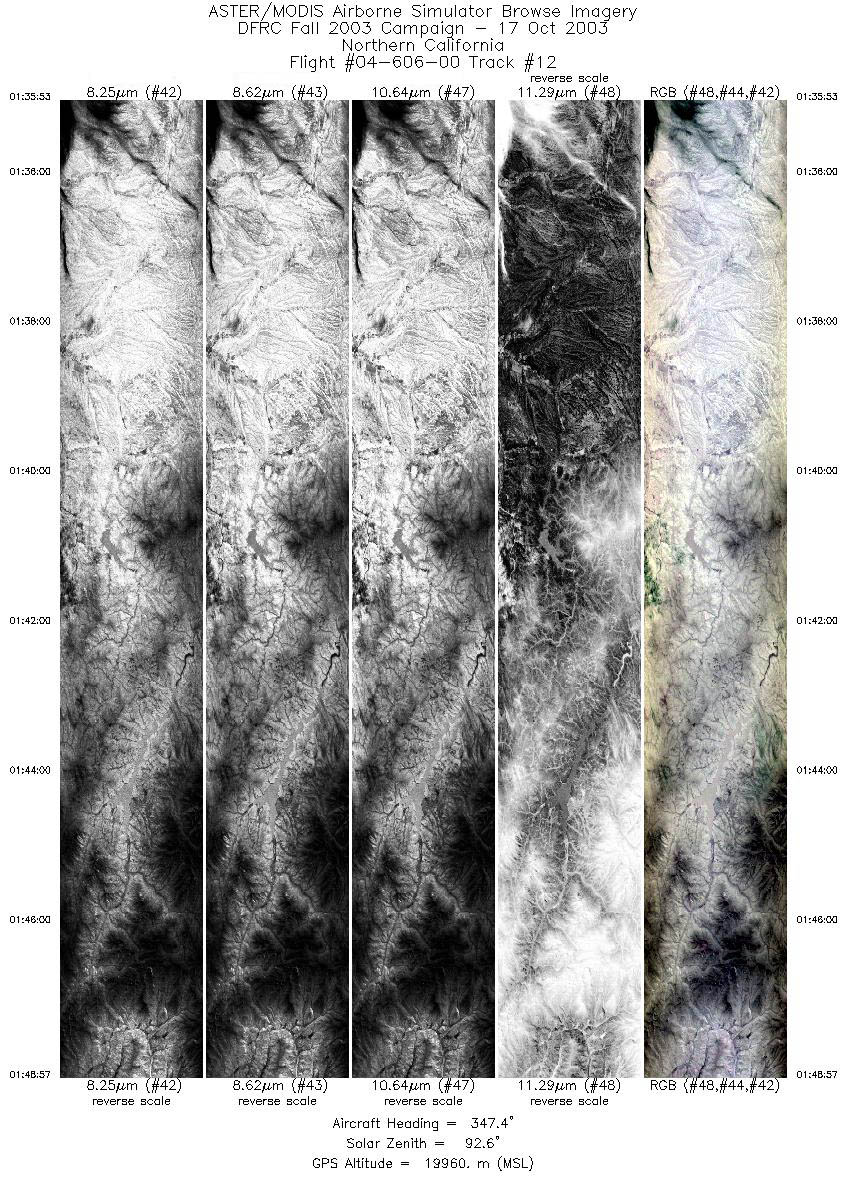
| 12 |
01:35 - 01:48 |
347.6 |
39.975 - 41.381 |
122.469 - 122.791 |
4894 |
19941 |
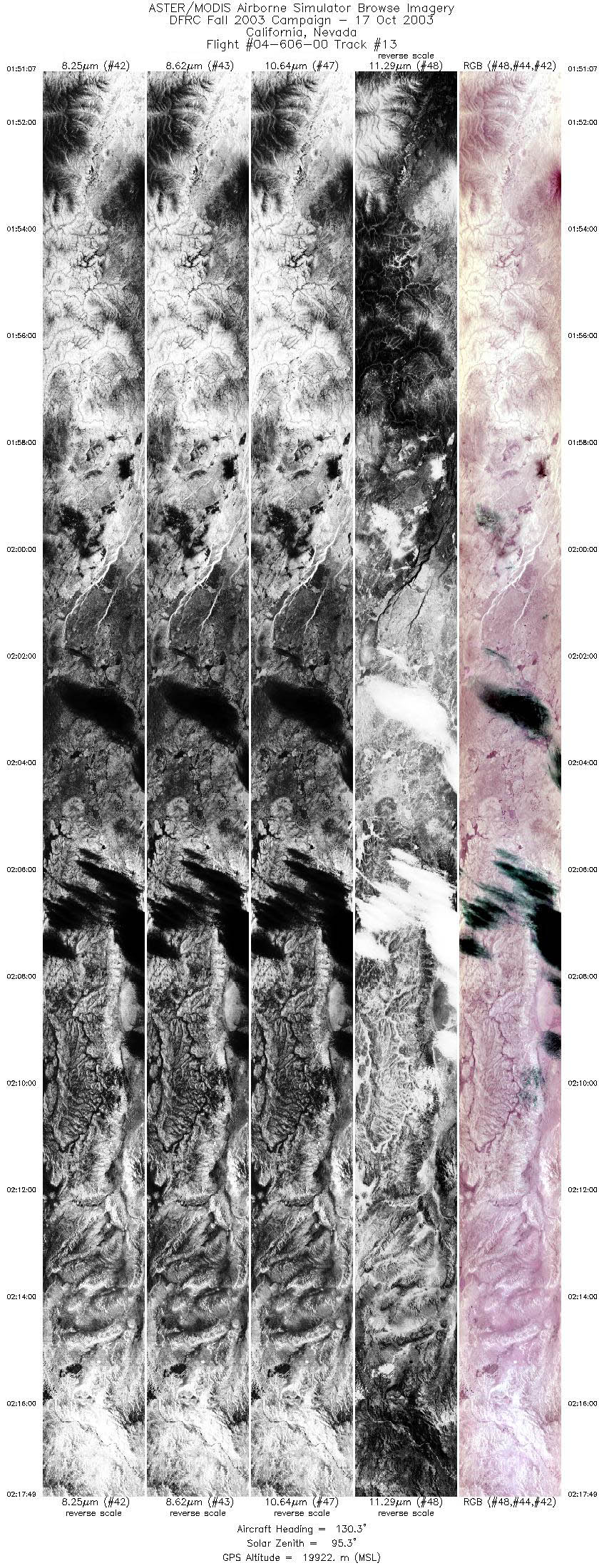
| 13 |
01:51 - 02:17 |
129.9 |
41.460 - 39.473 |
122.563 - 119.384 |
9999 |
19967 |
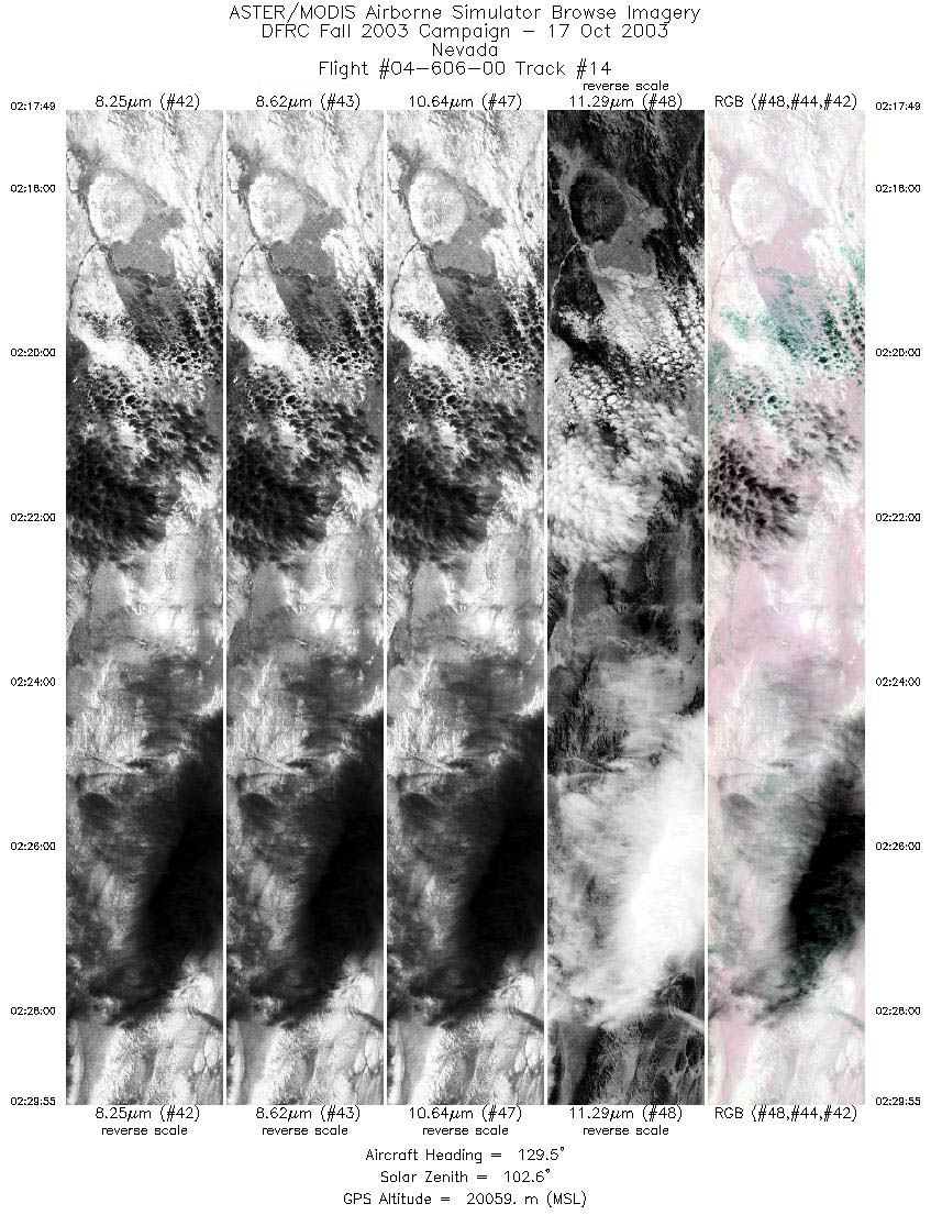
| 14 |
02:17 - 02:29 |
129.6 |
39.473 - 38.564 |
119.384 - 118.031 |
4527 |
20055 |
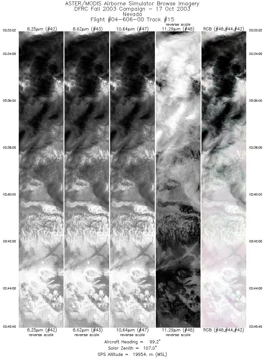
| 15 |
02:33 - 02:45 |
96.1 |
38.485 - 38.351 |
117.639 - 115.824 |
4728 |
19929 |
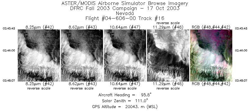
| 16 |
02:45 - 02:48 |
96.5 |
38.349 - 38.306 |
115.811 - 115.478 |
889 |
19983 |
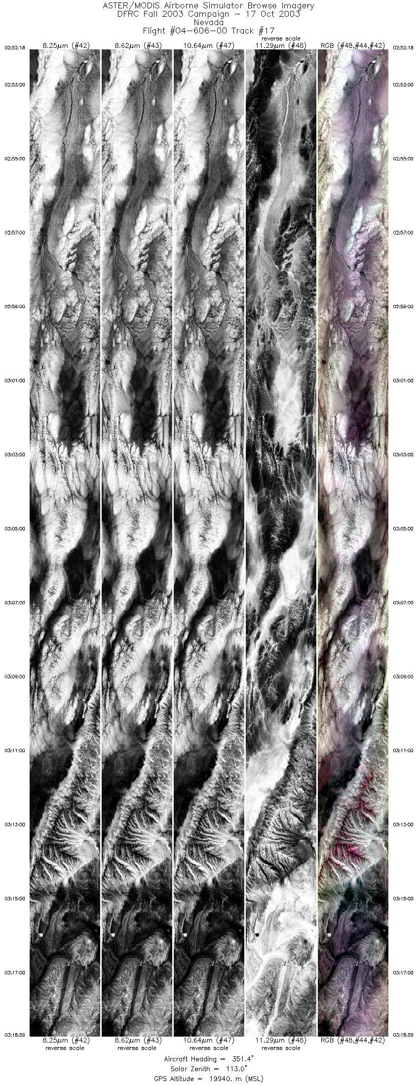
| 17 |
02:52 - 03:18 |
351.3 |
38.326 - 41.159 |
115.046 - 115.571 |
9999 |
19913 |
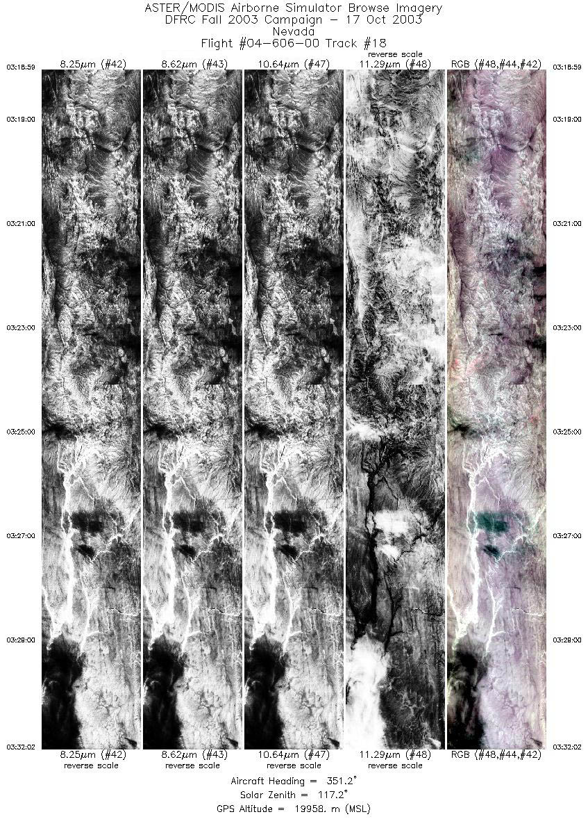
| 18 |
03:18 - 03:32 |
350.8 |
41.159 - 42.569 |
115.571 - 115.843 |
4890 |
19930 |
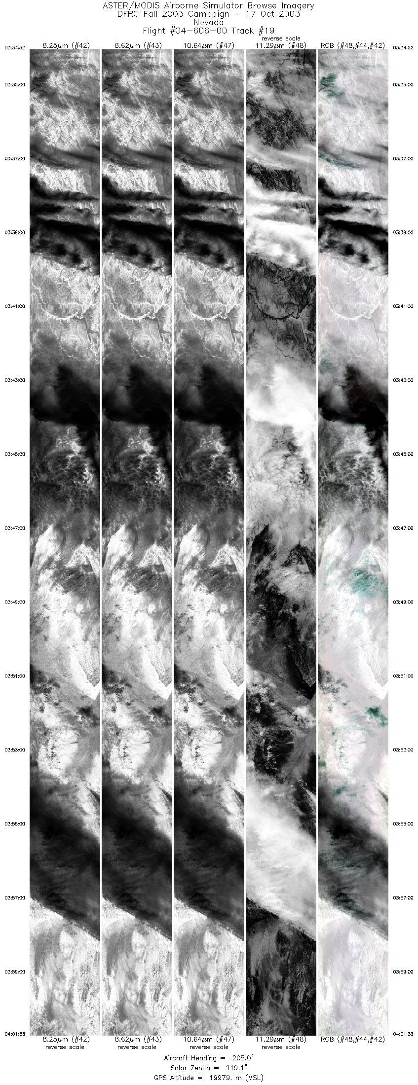
| 19 |
03:34 - 04:01 |
202.6 |
42.578 - 39.726 |
116.144 - 117.406 |
9999 |
19960 |
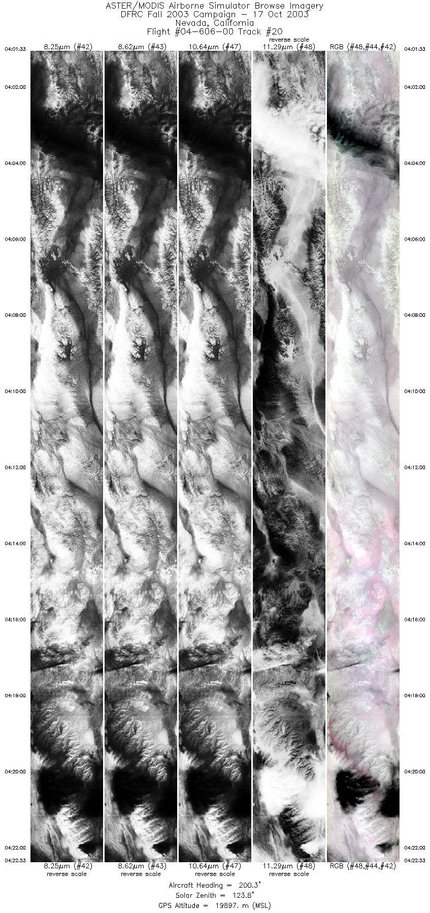
| 20 |
04:01 - 04:22 |
199.9 |
39.725 - 37.409 |
117.406 - 118.355 |
7990 |
19930 |
|


