


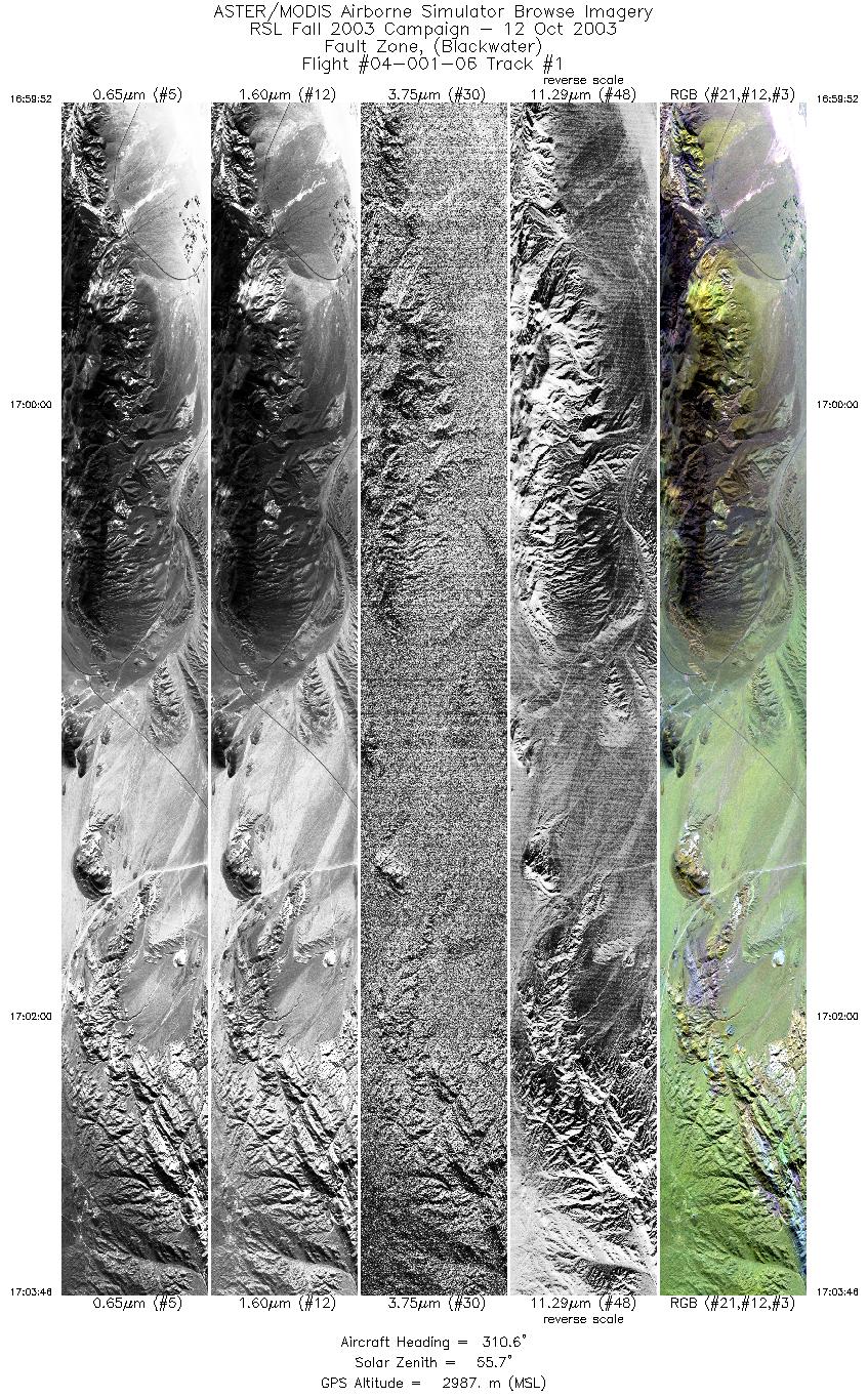
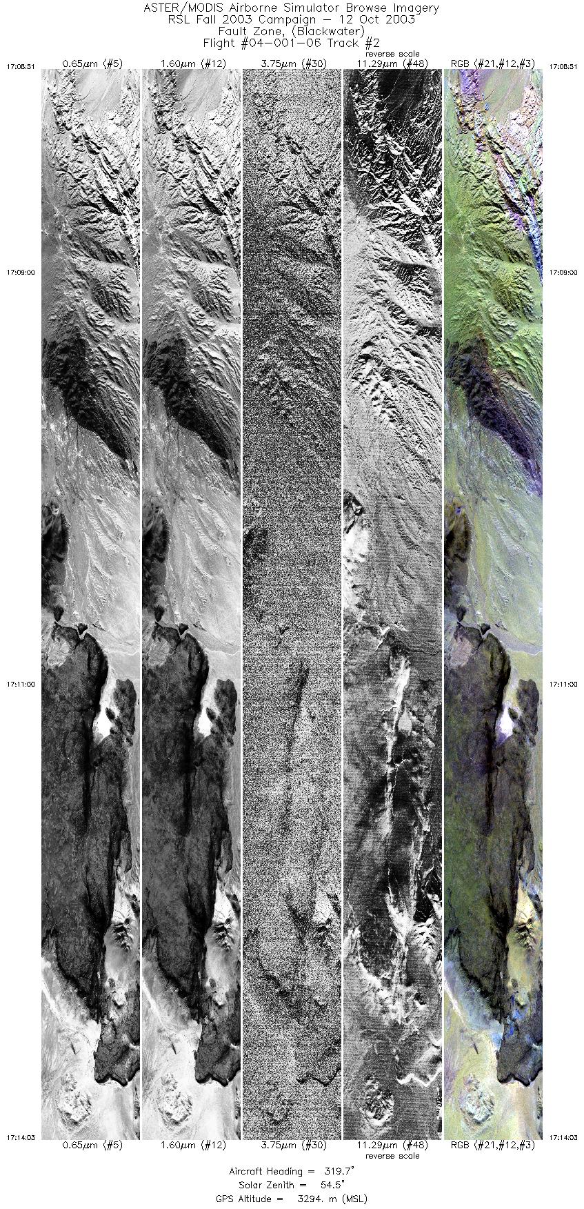
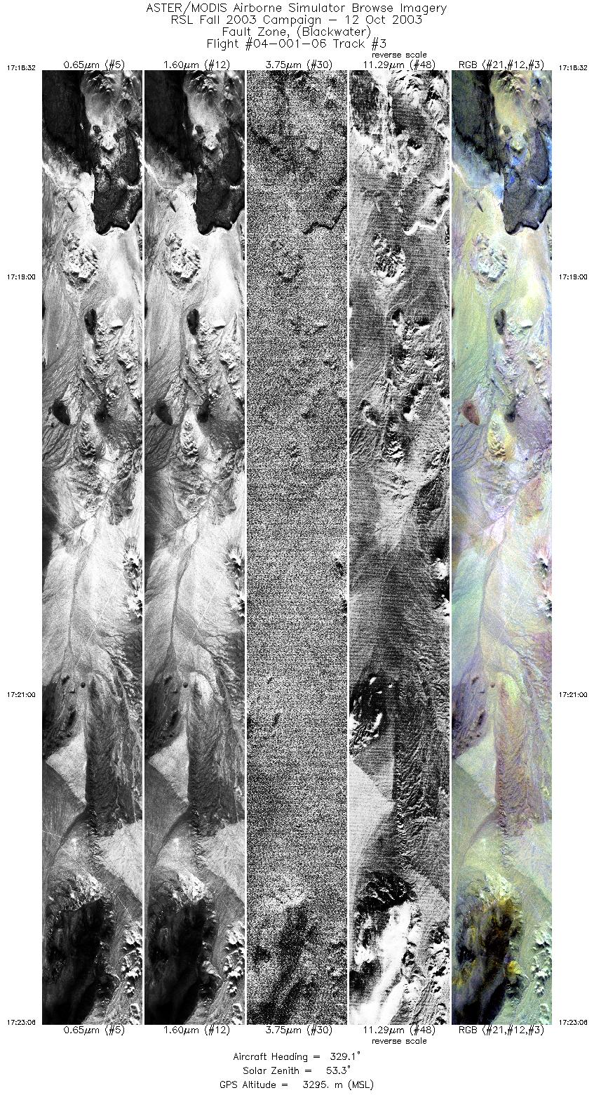
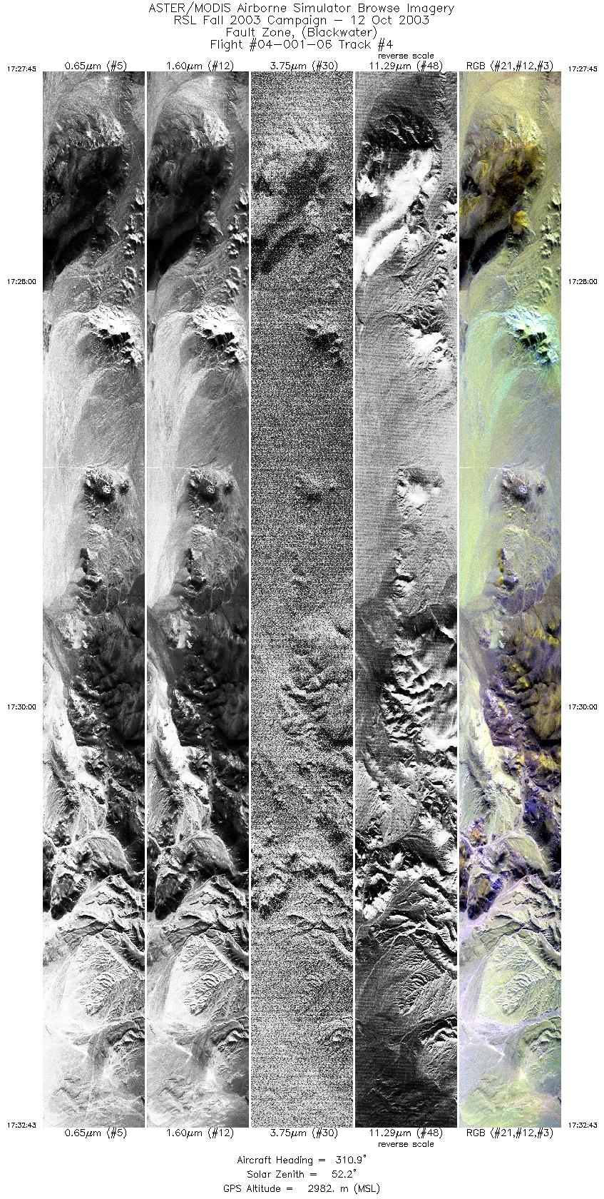
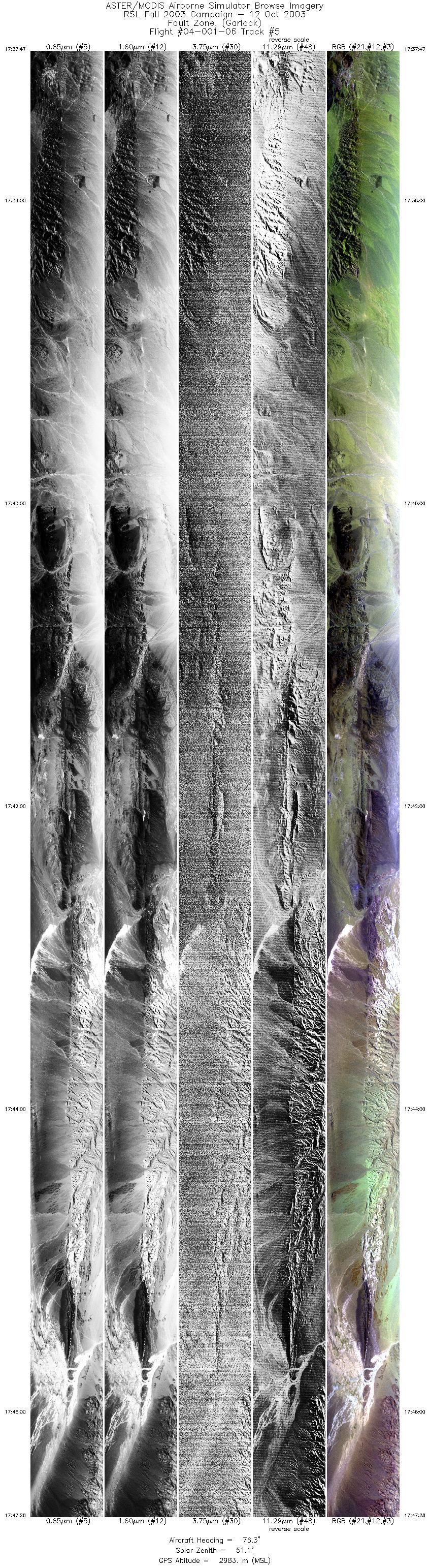
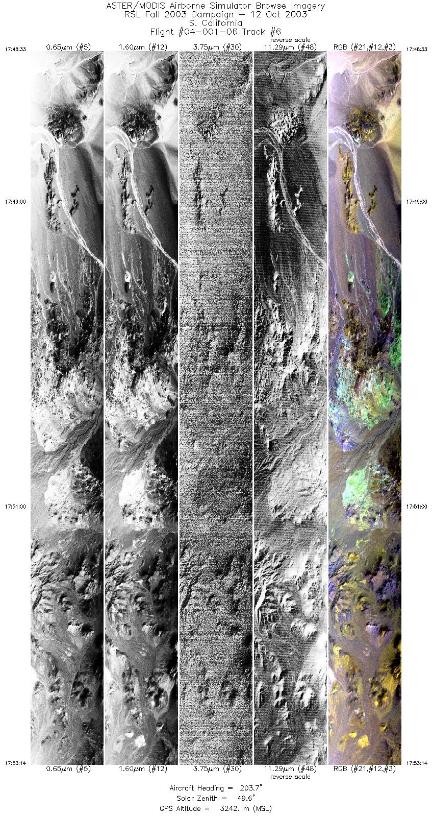
FLIGHT SUMMARY INFORMATION
Flight Track Map


|
Flight: 04-001-06 Date: October 12, 2003 Aircraft: DOE B200, #798 Deployment: RSL October 2003 Flight Location: Blackwater & Garlock Faults, CA Principal Investigator: Peltzer (JPL) Additional Sensors: |
||||||||||||||||||||||||||||||||||||||||||||||||||||||||||||||||||||||
|
Data Evaluation Weather: Clear Haze: Light to moderate Turbulence was minimal. Data quality is good. |
||||||||||||||||||||||||||||||||||||||||||||||||||||||||||||||||||||||
|
Processing Information Level-1B Data in HDF format is available Flight Line Summary Spectral Band Configuration Spectral Response Function Table Spectral Response Function (text) |
||||||||||||||||||||||||||||||||||||||||||||||||||||||||||||||||||||||
|
Browse Imagery Flight Tracks: 6 Scanlines: 49199 |
||||||||||||||||||||||||||||||||||||||||||||||||||||||||||||||||||||||
|
||||||||||||||||||||||||||||||||||||||||||||||||||||||||||||||||||||||


