


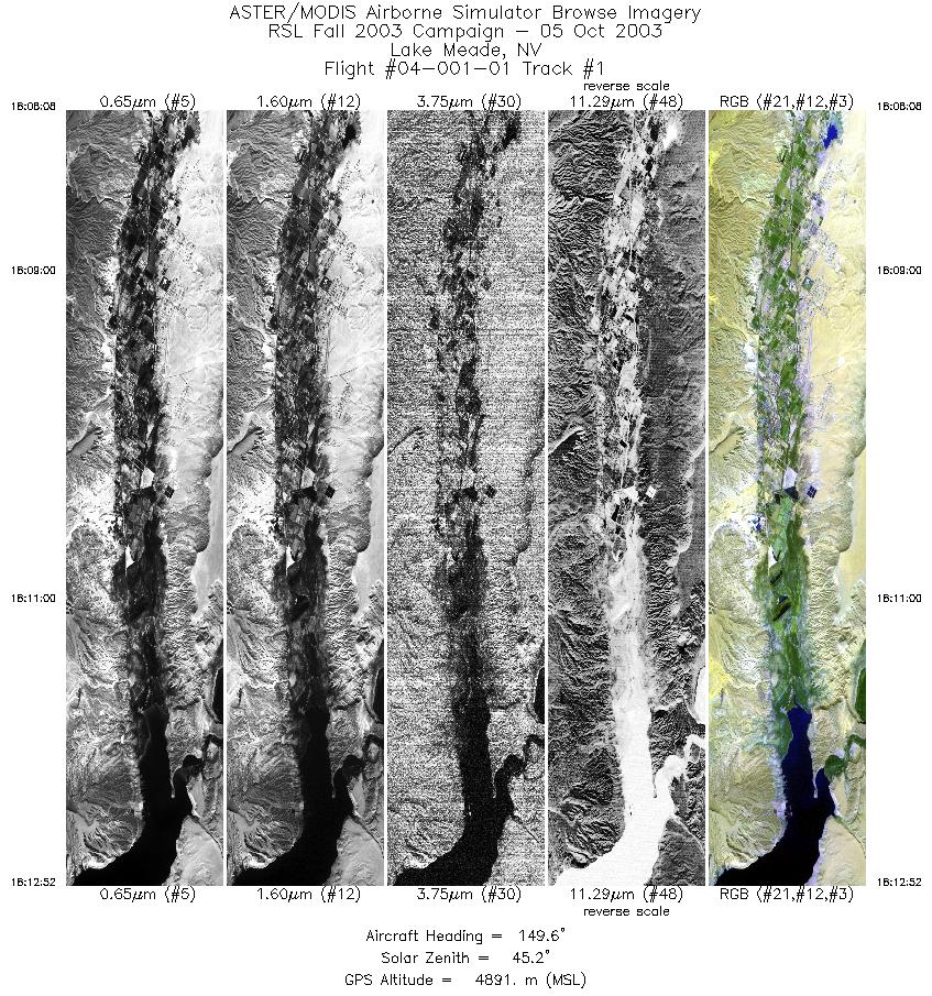
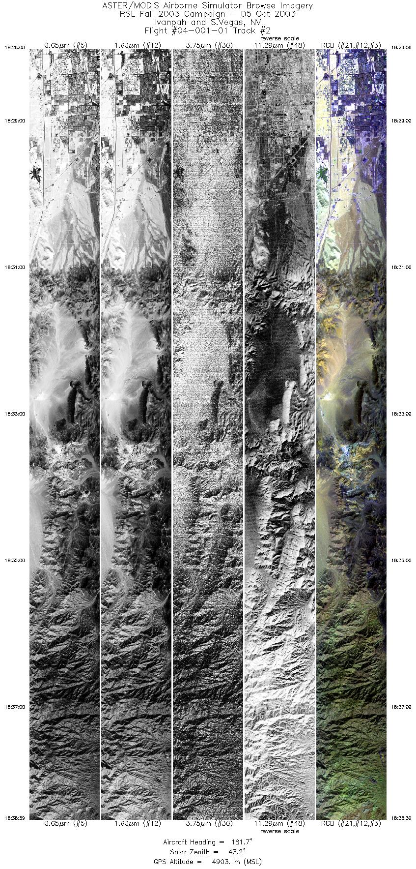
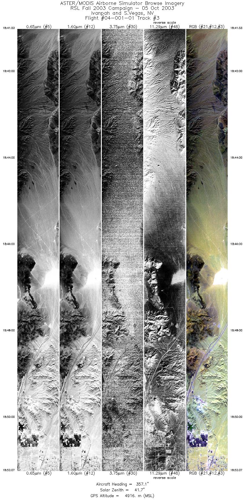
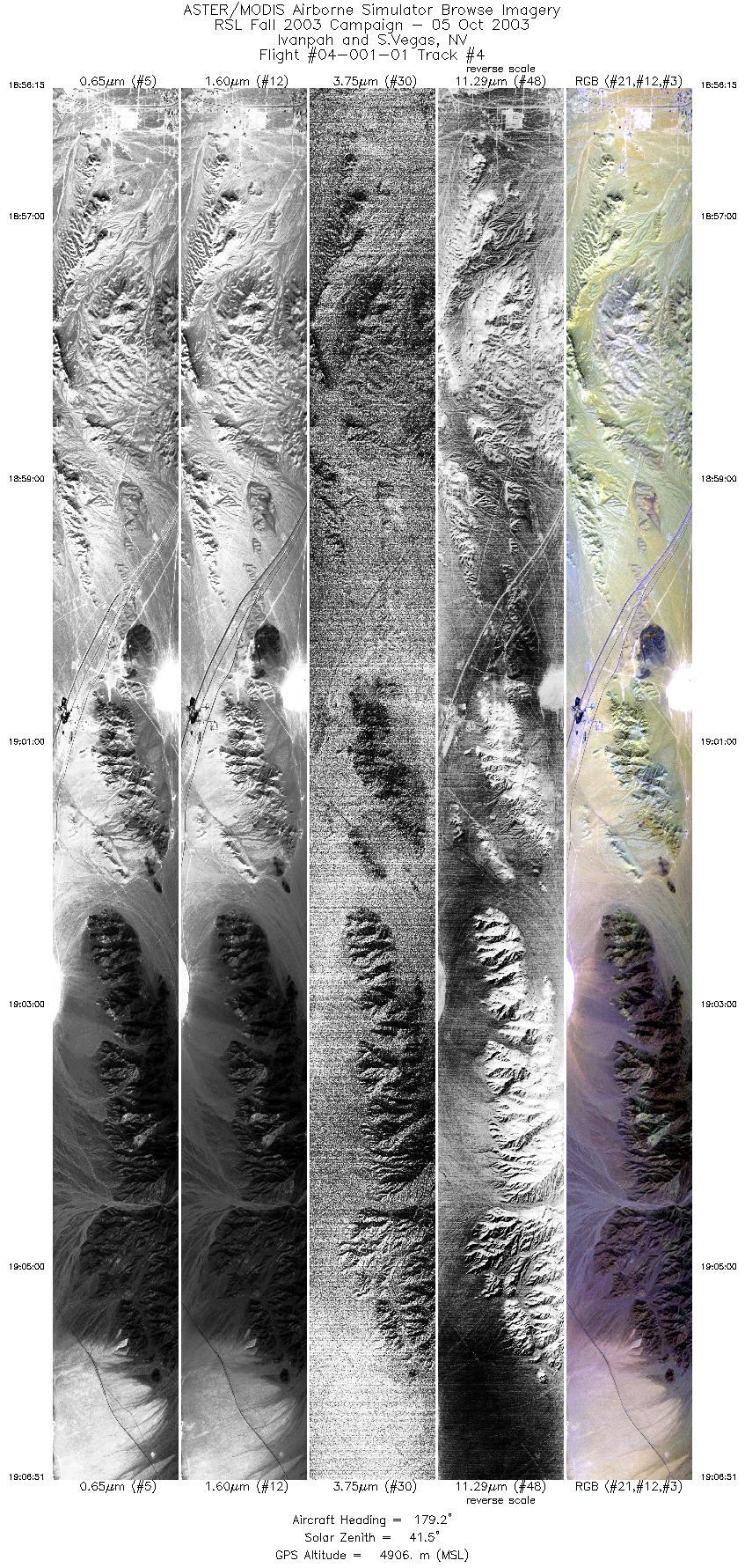
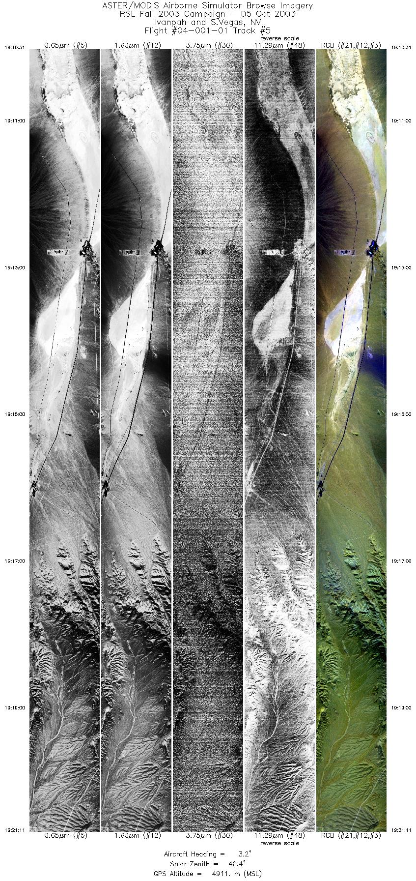
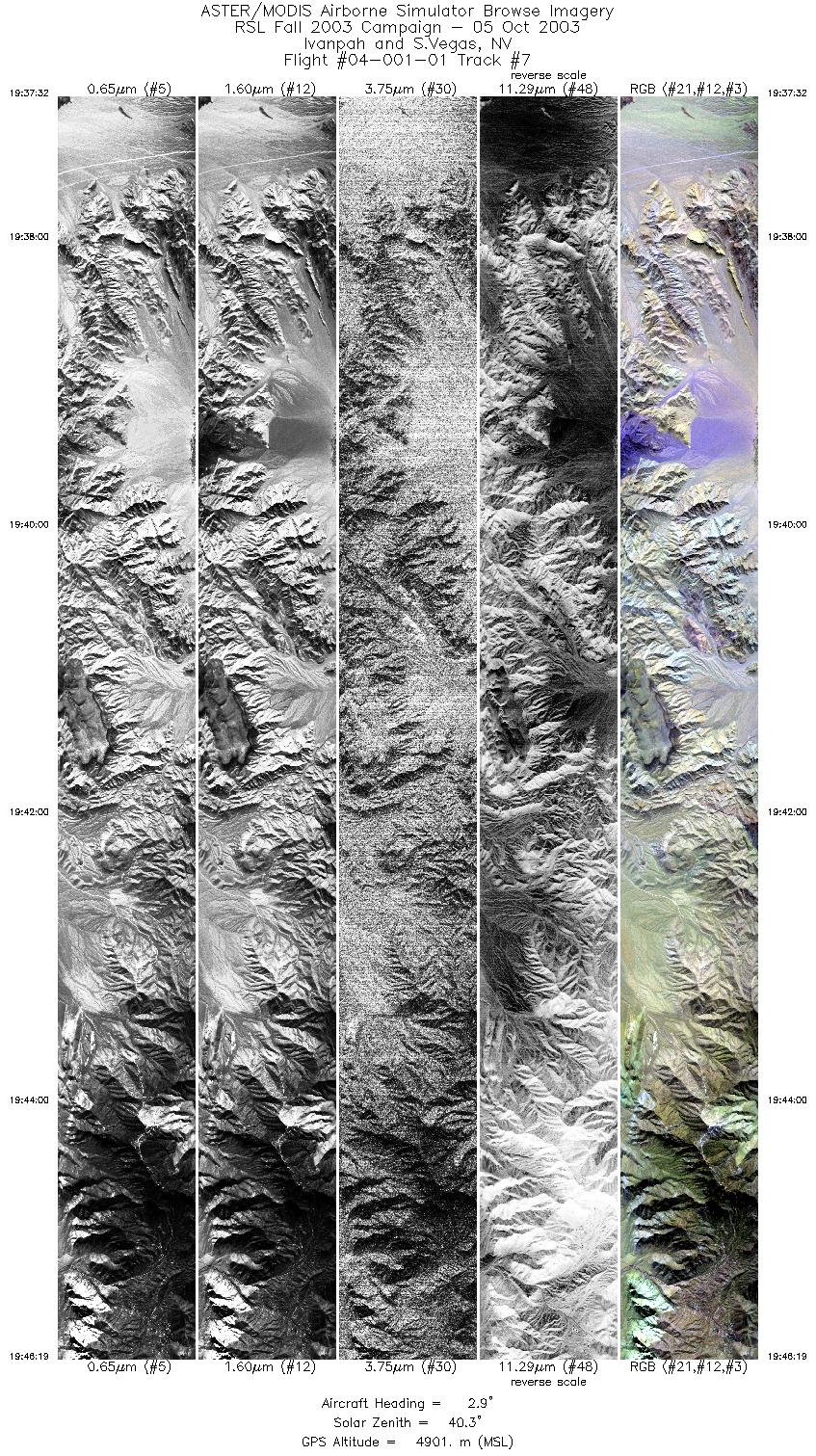
FLIGHT SUMMARY INFORMATION
Flight Track Map


|
Flight: 04-001-01 Date: October 5, 2003 Aircraft: DOE B200, #798 Deployment: RSL October 2003 Flight Location: Lake Mead (Overton Arm), NV; Ivanpah, CA Principal Investigator: House / Hook (JPL) Additional Sensors: |
|||||||||||||||||||||||||||||||||||||||||||||||||||||||||||||||||||||||||||||
|
Data Evaluation Weather: Clear Haze: Light to moderate Turbulence was minimal. Data quality is good. |
|||||||||||||||||||||||||||||||||||||||||||||||||||||||||||||||||||||||||||||
|
Processing Information Level-1B Data in HDF format is available Flight Line Summary Spectral Band Configuration Spectral Response Function Table Spectral Response Function (text) |
|||||||||||||||||||||||||||||||||||||||||||||||||||||||||||||||||||||||||||||
|
Browse Imagery Flight Tracks: 7 Scanlines: 47854 |
|||||||||||||||||||||||||||||||||||||||||||||||||||||||||||||||||||||||||||||
|
|||||||||||||||||||||||||||||||||||||||||||||||||||||||||||||||||||||||||||||


