Flight: 03-951-00
Date: August 08, 2003
Aircraft: NASA ER2, #809
Deployment: DFRC August 2003
Flight Location: Northern Central Valley, California
Principal Investigator: Penberth (California Department of Conservation)
Additional Sensors: RC-30
|
Data Evaluation
Data quality is good.
|
Processing Information
Level-1B Data in HDF format is available
Flight Line Summary
Spectral Band Configuration
Spectral Response Function Table
Spectral Response Function (text)
|
Browse Imagery
Flight Tracks: 21
Scanlines: 121271
|
Browse Imagery Table
|
Click a Flight Track number to view a quicklook image
Lat/Lon ranges are for the BEG-END scanline nadir pixels
|
Flight
Track |
Time Span
(UTC) |
Heading
(Deg) |
Lat Range
(Deg N) |
Lon Range
(Deg W) |
Length
(Scanlines) |
Altitude
(Meters) |
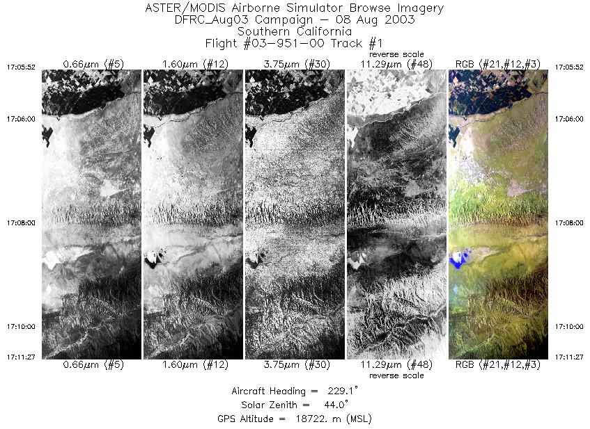
| 1 |
17:05 - 17:11 |
228.6 |
35.422 - 35.011 |
119.394 - 119.981 |
2087 |
18653 |
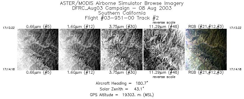
| 2 |
17:12 - 17:14 |
180.1 |
34.923 - 34.708 |
120.038 - 120.045 |
722 |
19304 |
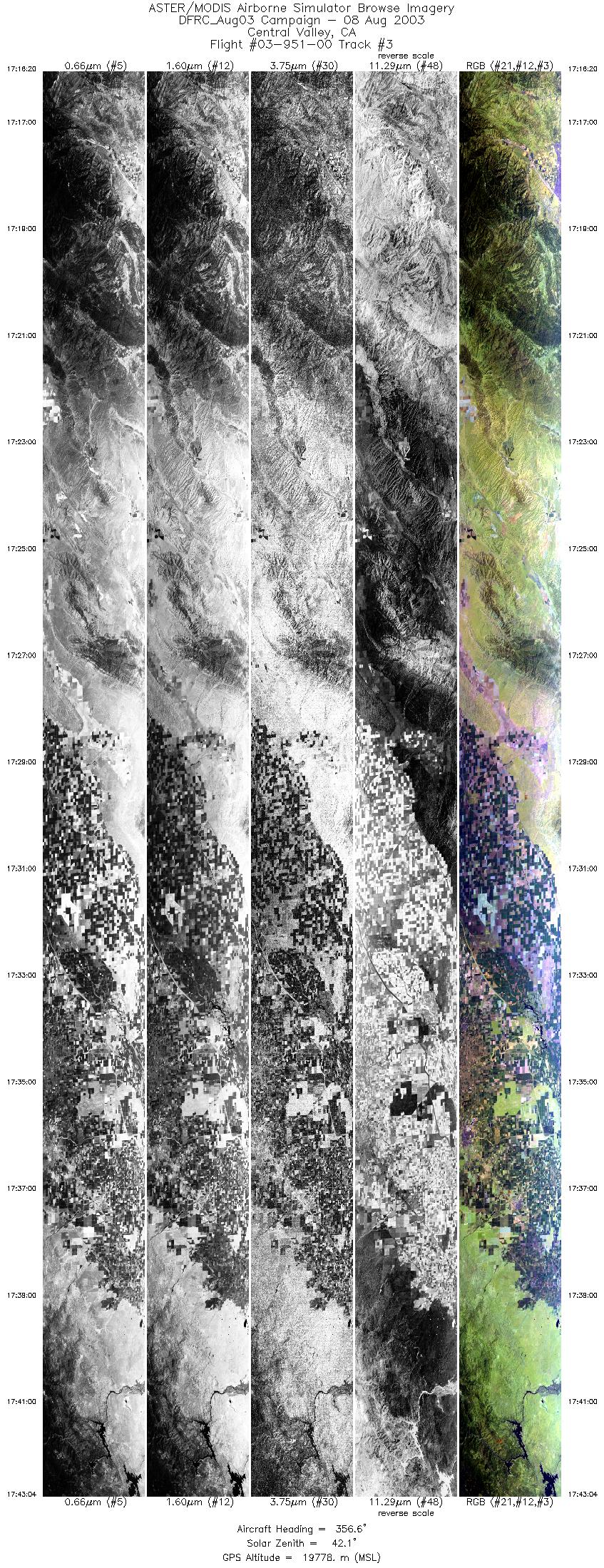
| 3 |
17:16 - 17:43 |
0.0 |
34.698 - 37.742 |
120.225 - 120.233 |
9999 |
19640 |
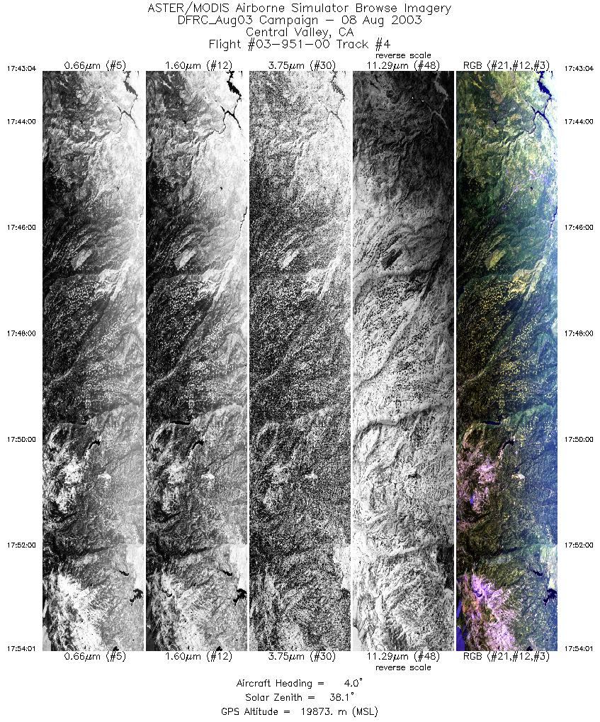
| 4 |
17:43 - 17:54 |
2.8 |
37.742 - 38.993 |
120.233 - 120.244 |
4094 |
19856 |
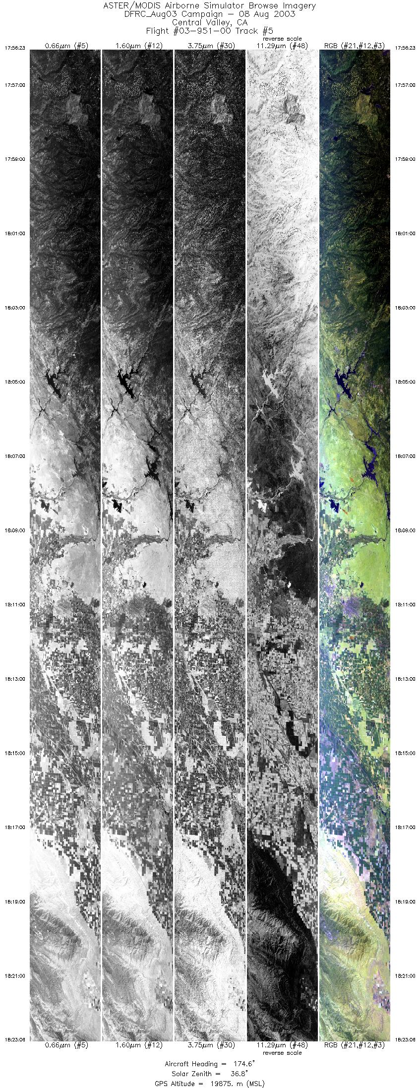
| 5 |
17:56 - 18:23 |
176.1 |
38.994 - 35.999 |
120.474 - 120.467 |
9999 |
19812 |
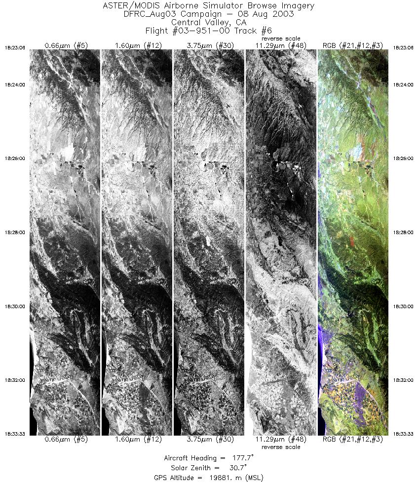
| 6 |
18:23 - 18:33 |
177.6 |
35.999 - 34.828 |
120.467 - 120.467 |
3914 |
19891 |
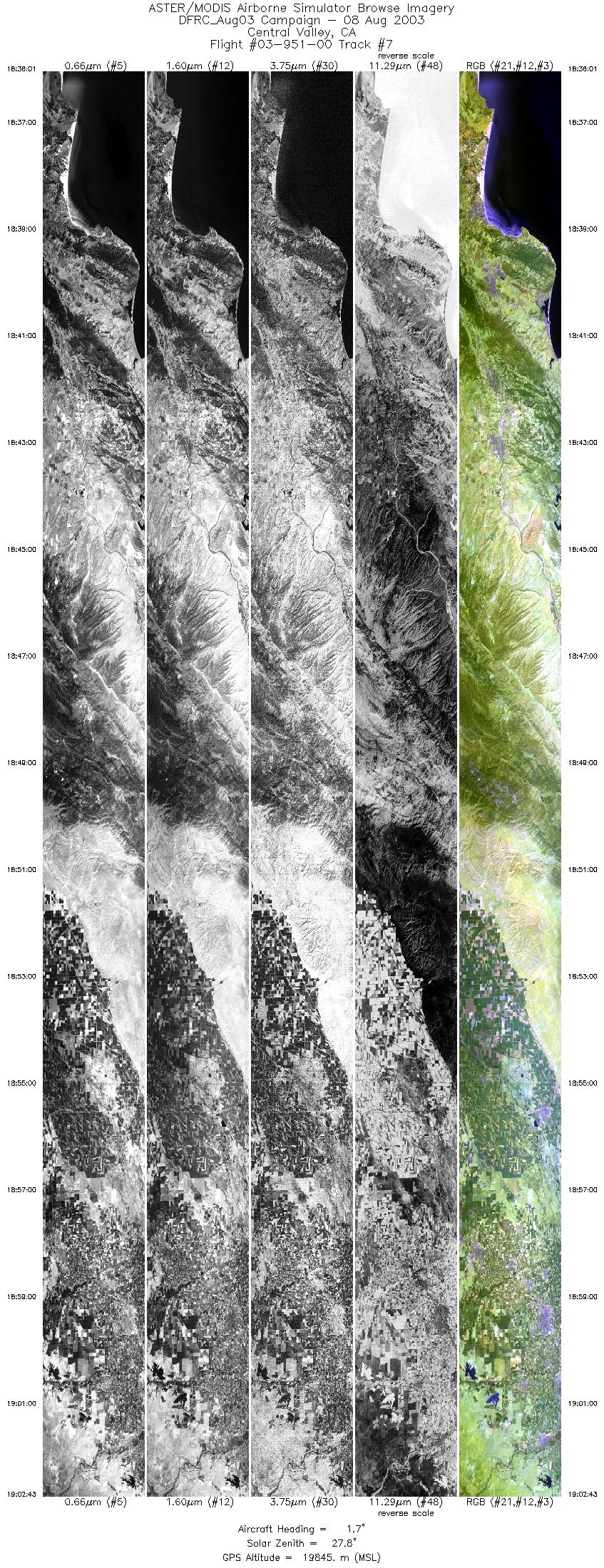
| 7 |
18:36 - 19:02 |
2.4 |
34.824 - 37.882 |
120.716 - 120.716 |
9999 |
19787 |
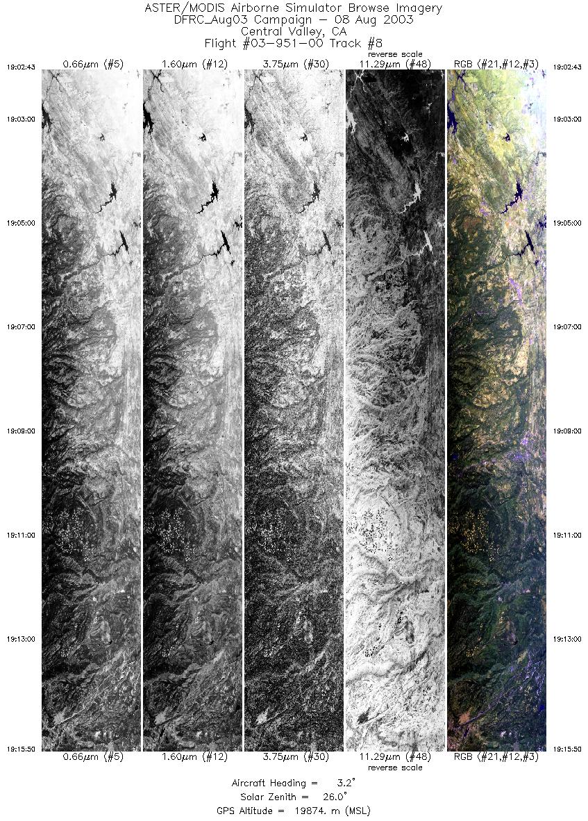
| 8 |
19:02 - 19:15 |
1.9 |
37.882 - 39.375 |
120.716 - 120.739 |
4912 |
19868 |
| 9 |
19:18 - 19:45 |
175.3 |
39.350 - 36.366 |
120.961 - 120.951 |
9999 |
19850 |
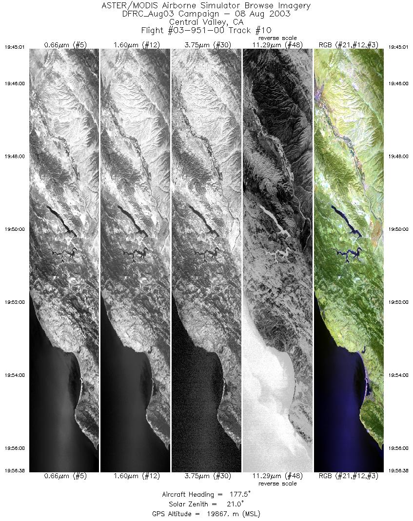
| 10 |
19:45 - 19:56 |
177.4 |
36.366 - 35.080 |
120.951 - 120.951 |
4353 |
19880 |
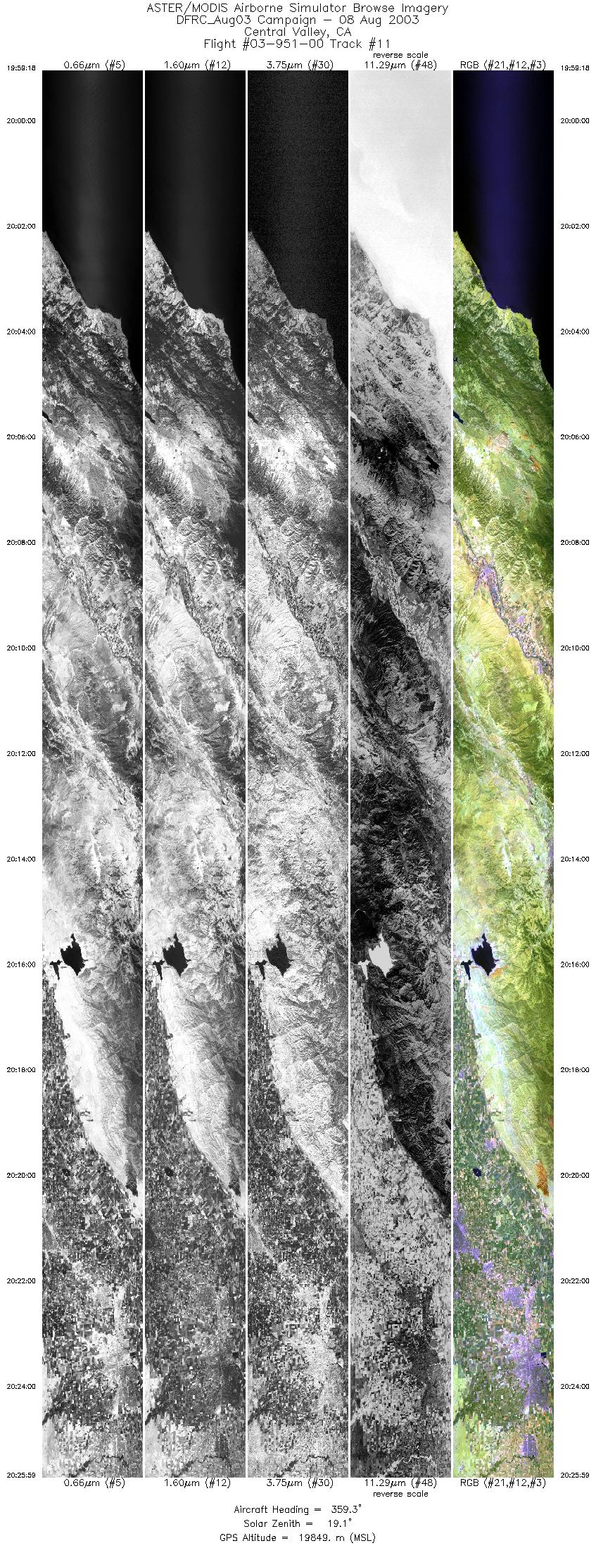
| 11 |
19:59 - 20:25 |
1.0 |
35.119 - 38.193 |
121.183 - 121.182 |
9999 |
19823 |
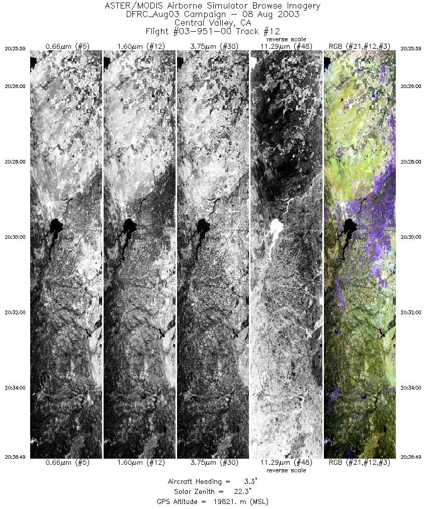
| 12 |
20:25 - 20:36 |
3.4 |
38.193 - 39.423 |
121.182 - 121.182 |
4062 |
19843 |
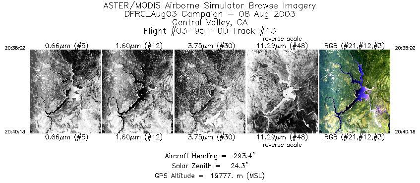
| 13 |
20:38 - 20:40 |
292.8 |
39.535 - 39.630 |
121.280 - 121.600 |
848 |
19778 |
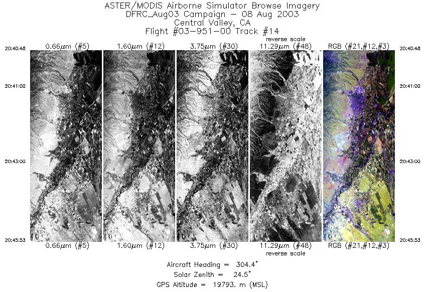
| 14 |
20:40 - 20:45 |
305.6 |
39.653 - 39.996 |
121.670 - 122.313 |
1911 |
19774 |
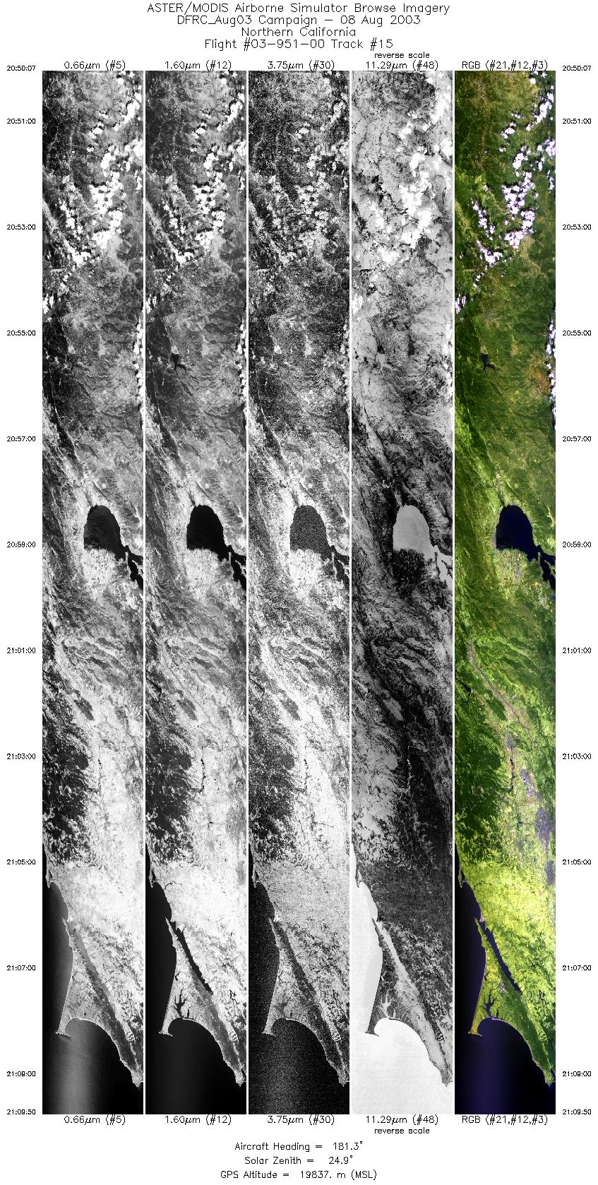
| 15 |
20:50 - 21:09 |
179.6 |
40.044 - 37.829 |
122.871 - 122.885 |
7391 |
19812 |
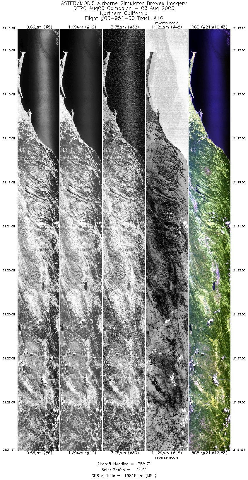
| 16 |
21:12 - 21:31 |
0.5 |
37.881 - 40.073 |
123.131 - 123.134 |
7181 |
19778 |
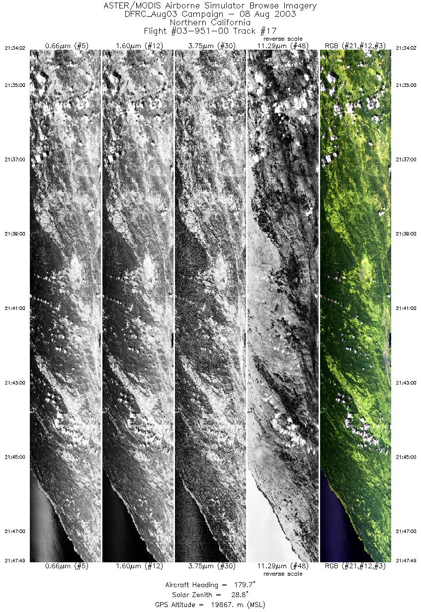
| 17 |
21:34 - 21:47 |
178.9 |
40.077 - 38.530 |
123.379 - 123.384 |
5164 |
19897 |
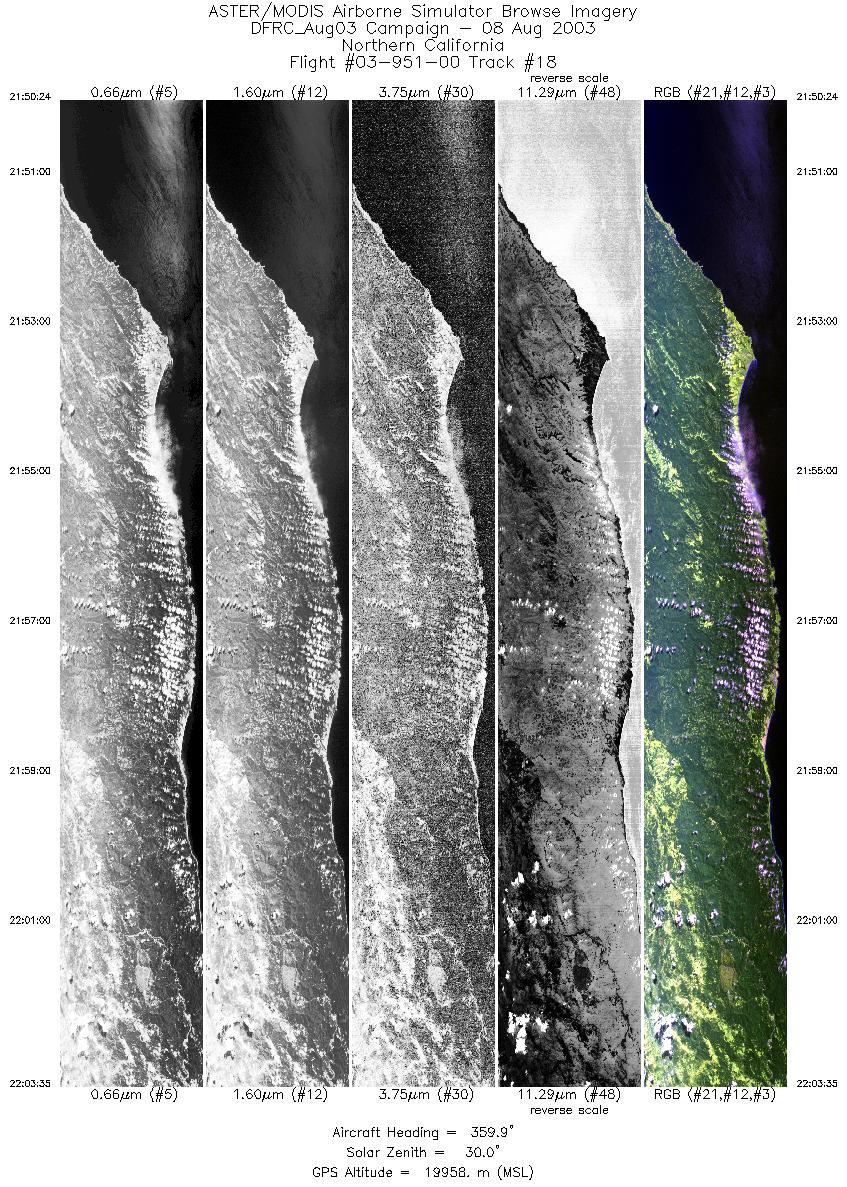
| 18 |
21:50 - 22:03 |
1.0 |
38.561 - 40.070 |
123.630 - 123.632 |
4938 |
19892 |
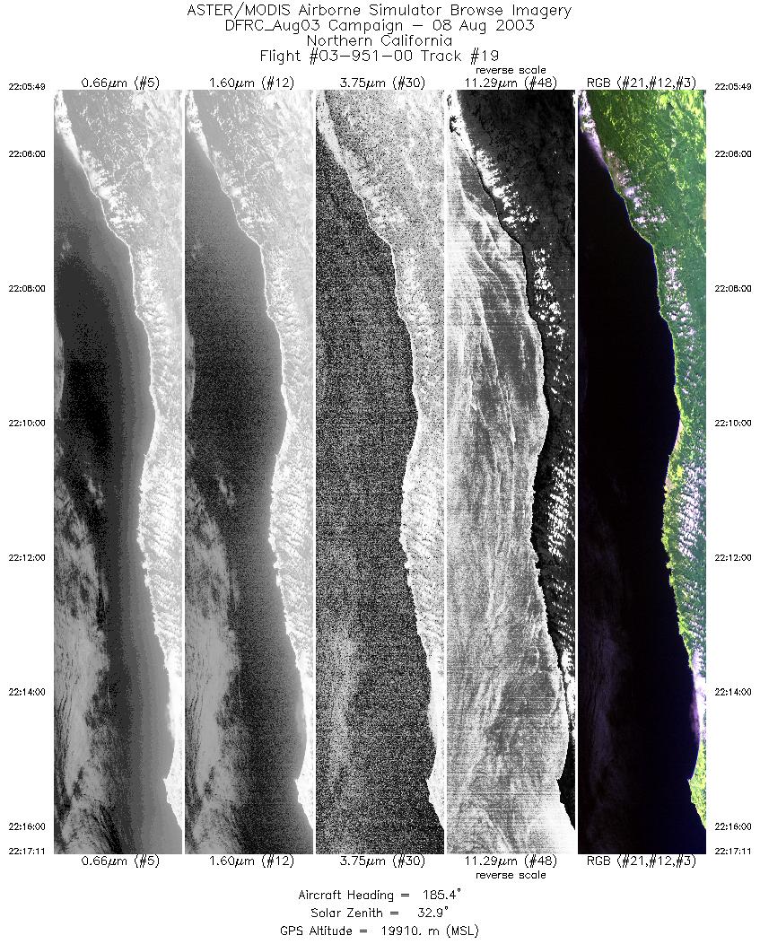
| 19 |
22:05 - 22:17 |
181.9 |
40.090 - 38.823 |
123.873 - 123.883 |
4260 |
19842 |
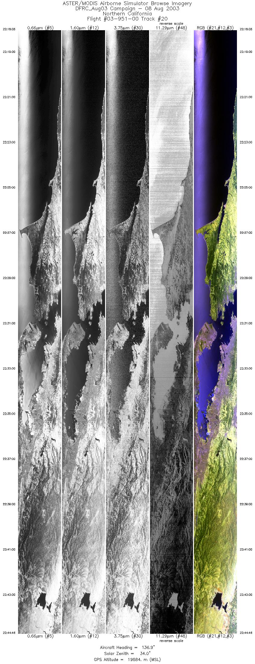
| 20 |
22:18 - 22:44 |
131.7 |
38.731 - 36.949 |
123.833 - 120.968 |
9999 |
19870 |
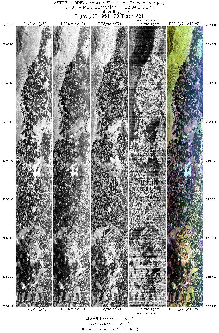
| 21 |
22:44 - 22:59 |
129.2 |
36.949 - 35.976 |
120.968 - 119.431 |
5440 |
19146 |
|


