


FLIGHT SUMMARY INFORMATION
Flight Track Map


|
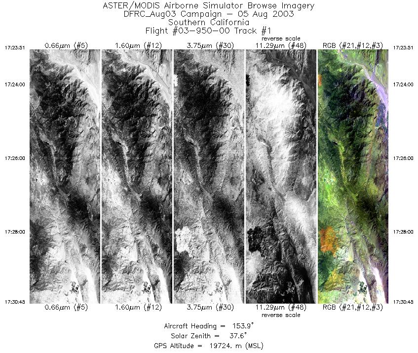
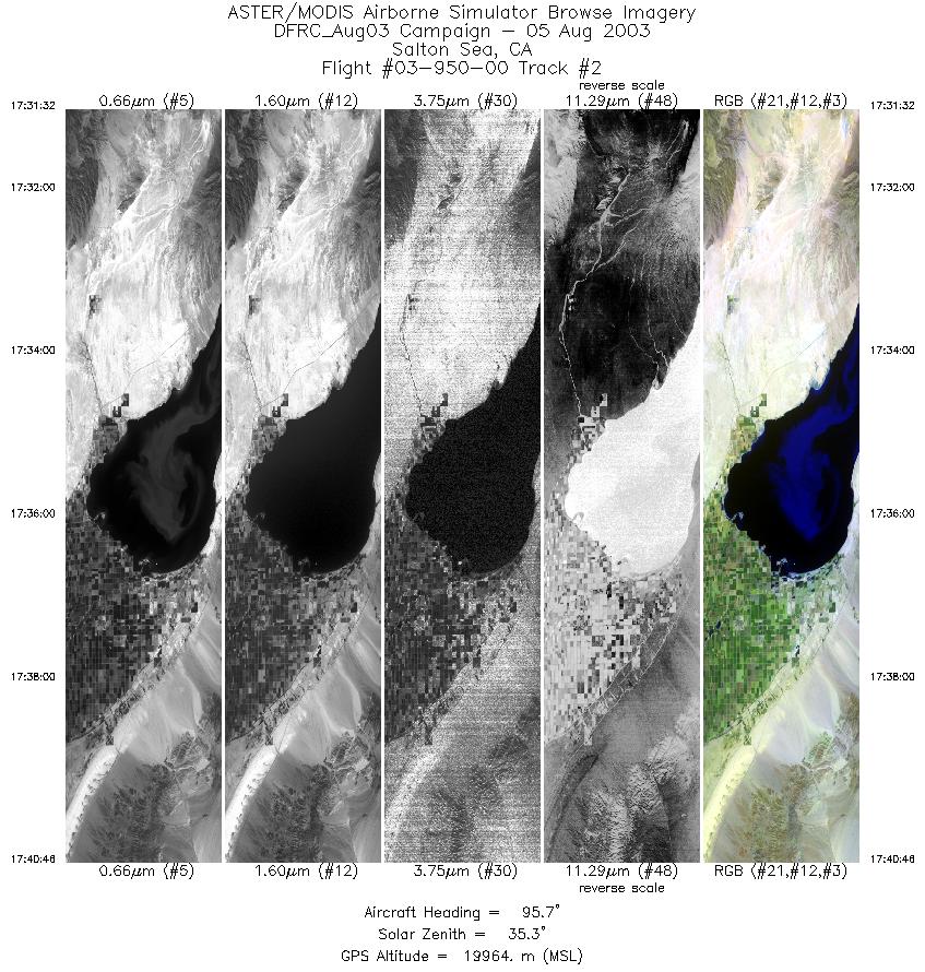
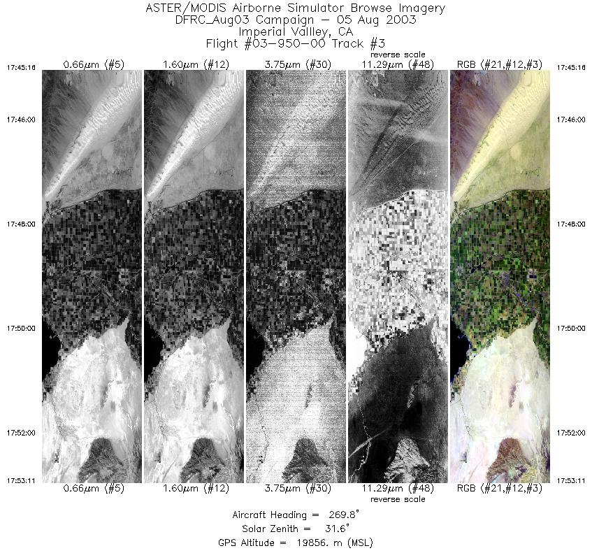
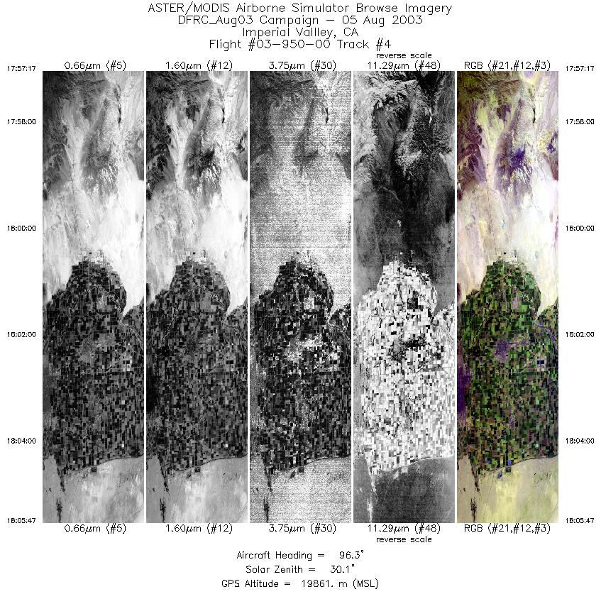
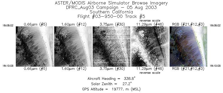
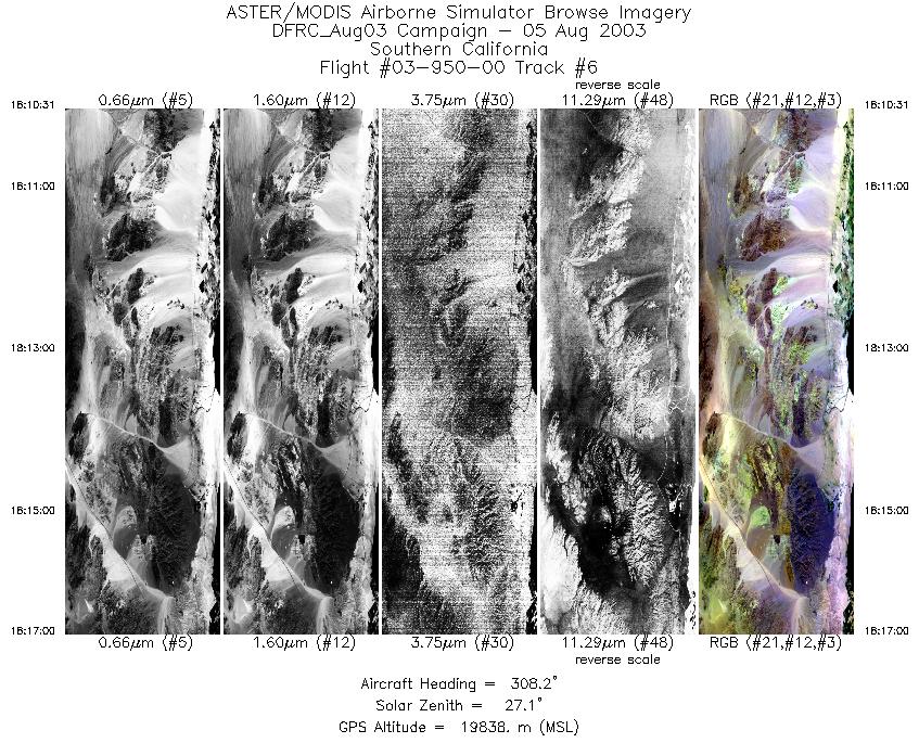
Flight: 03-950-00 Date: August 05, 2003 Aircraft: NASA ER2, #809 Deployment: DFRC August 2003 Flight Location: Salton Sea and Southern California Principal Investigator: Penberth (California Department of Conservation) Additional Sensors: RC-30 |
||||||||||||||||||||||||||||||||||||||||||||||||||||||||||||||||||||||
|
Data Evaluation Data quality is good, with minor radio noise in last line |
||||||||||||||||||||||||||||||||||||||||||||||||||||||||||||||||||||||
|
Processing Information Level-1B Data in HDF format is available Flight Line Summary Spectral Band Configuration Spectral Response Function Table Spectral Response Function (text) |
||||||||||||||||||||||||||||||||||||||||||||||||||||||||||||||||||||||
|
Browse Imagery Flight Tracks: 6 Scanlines: 15364 |
||||||||||||||||||||||||||||||||||||||||||||||||||||||||||||||||||||||
|
||||||||||||||||||||||||||||||||||||||||||||||||||||||||||||||||||||||


