


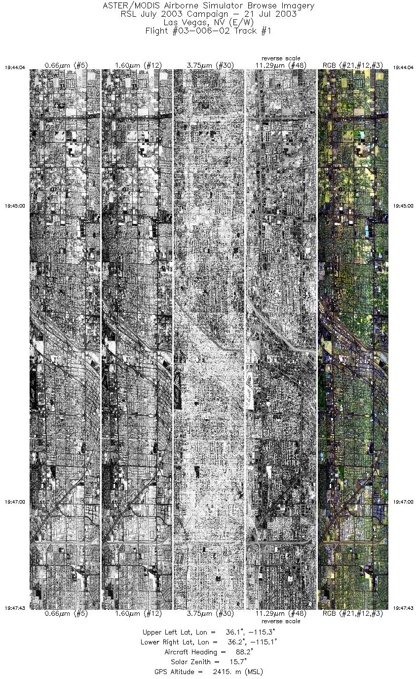
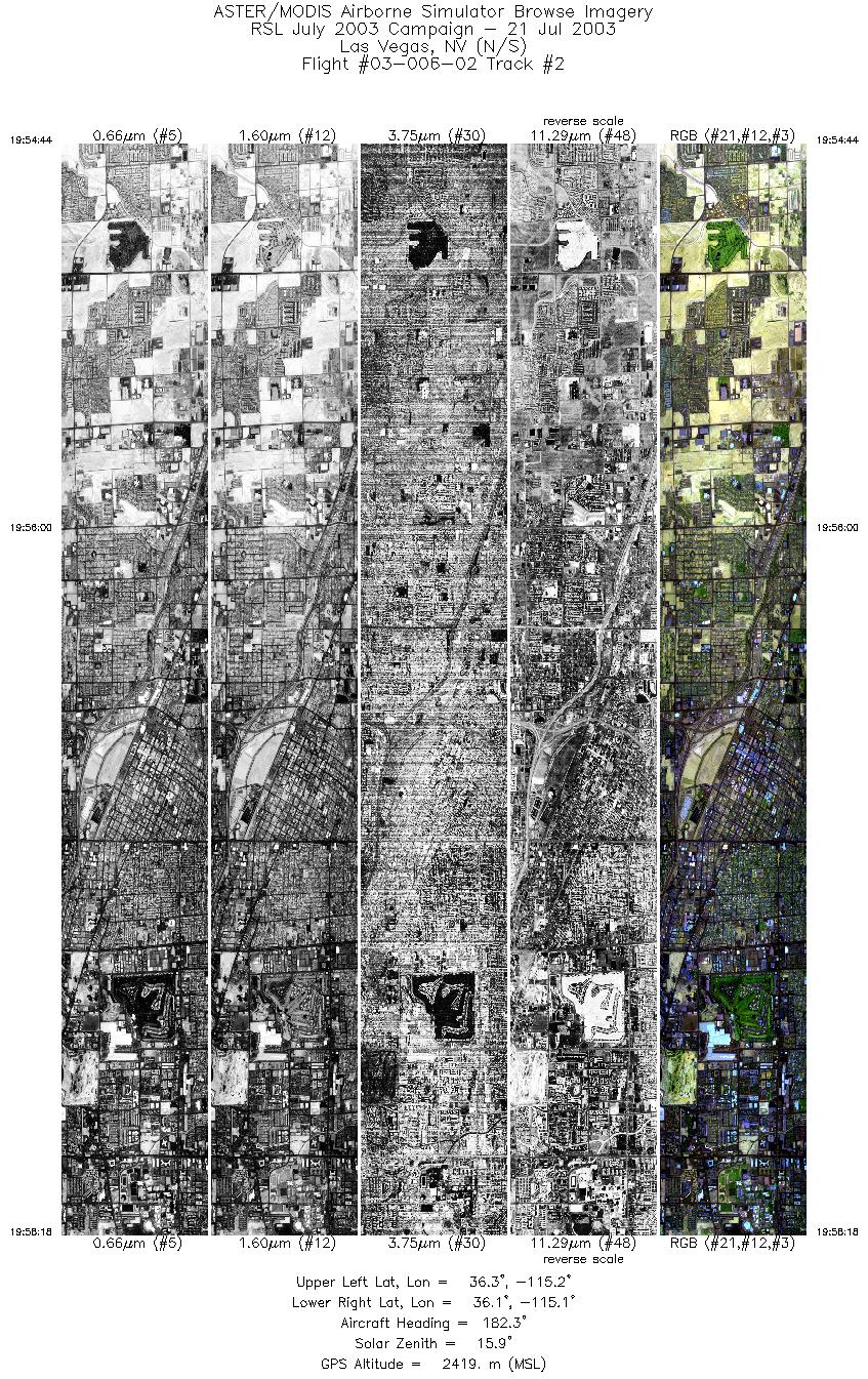
FLIGHT SUMMARY INFORMATION
Flight Track Map


|
Flight: 03-006-02 Date: July 21, 2003 Aircraft: DOE B200, #798 Deployment: RSL July 2003 Flight Location: Las Vegas, NV Principal Investigator: F.C.F. Additional Sensors: |
||||||||||||||||||||||||||||||||||||||||||
|
Data Evaluation Weather: Scattered High Cirrus Haze: Heavy |
||||||||||||||||||||||||||||||||||||||||||
|
Processing Information Level-1B Data in HDF format is available Flight Line Summary Spectral Band Configuration Spectral Response Function Table Spectral Response Function (text) |
||||||||||||||||||||||||||||||||||||||||||
|
Browse Imagery Flight Tracks: 2 Scanlines: 10796 |
||||||||||||||||||||||||||||||||||||||||||
|
||||||||||||||||||||||||||||||||||||||||||


