


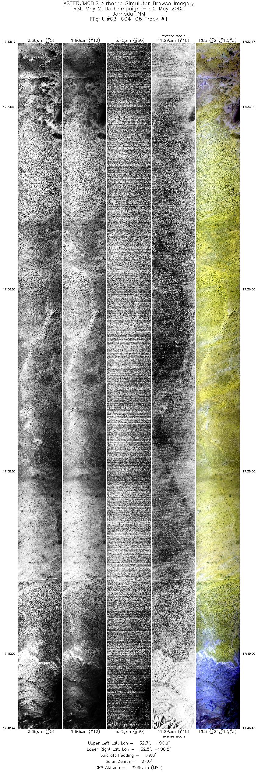
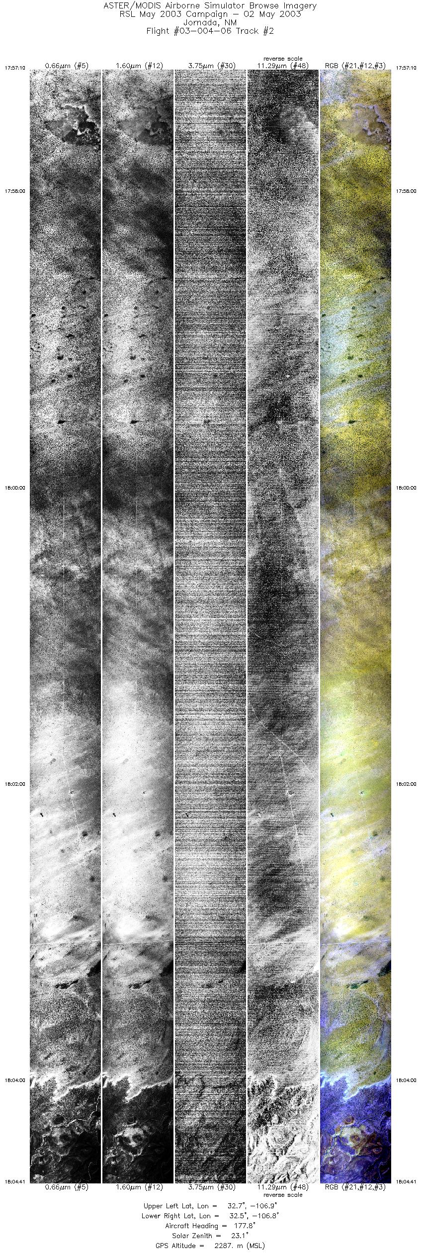
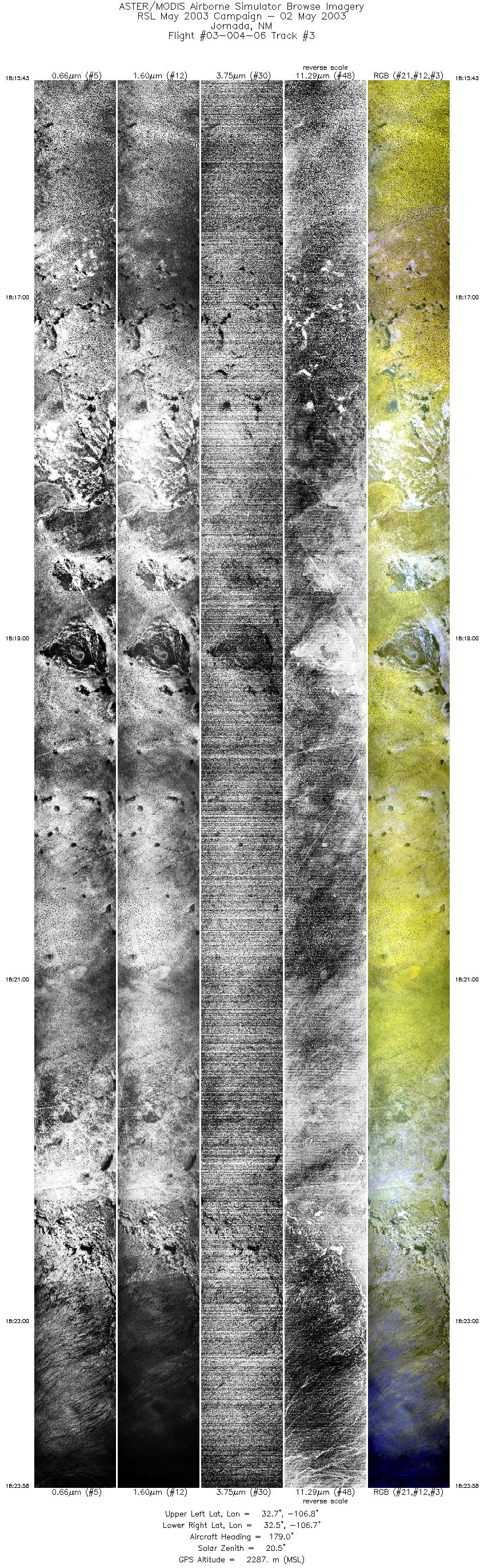
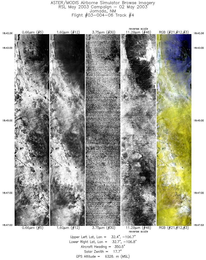
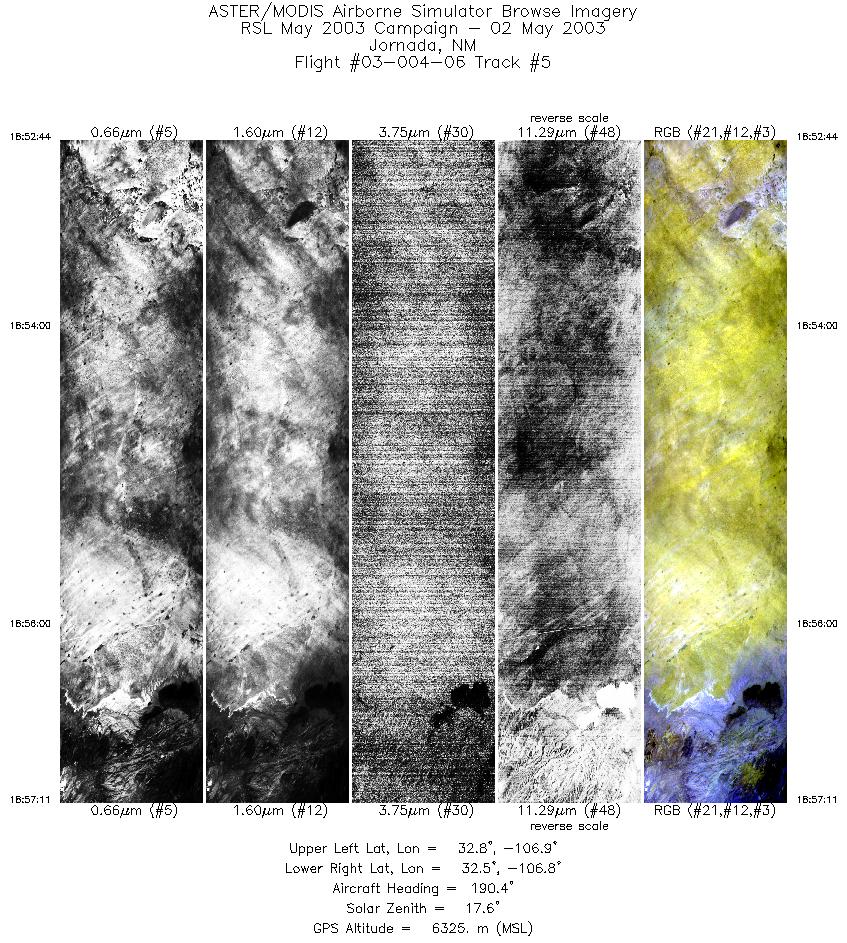
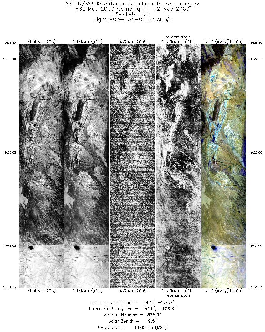
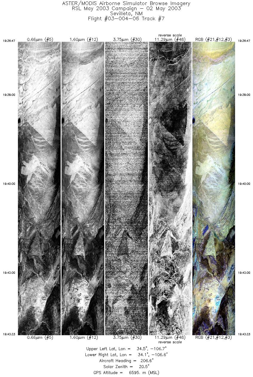
FLIGHT SUMMARY INFORMATION
Flight Track Map


|
Flight: 03-004-06 Date: May 02, 2003 Aircraft: DOE B200, #798 Deployment: RSL April-May 2003 Flight Location: Western Arizona Principal Investigator: Schmugge (USDA) Additional Sensors: |
|||||||||||||||||||||||||||||||||||||||||||||||||||||||||||||||||||||||||||||
|
Data Evaluation Weather: High Cirrus - Moderate at the start of data runs; mostly overcast by the end of the runs Turbulence: Moderate to heavy during low altitude lines; light during high altitude lines Haze: Light to moderate at start of data runs; moderate to heavy by end of runs Satellite Overpass @ 18:01:16 |
|||||||||||||||||||||||||||||||||||||||||||||||||||||||||||||||||||||||||||||
|
Processing Information Level-1B Data in HDF format is available Flight Line Summary Spectral Band Configuration Spectral Response Function Table Spectral Response Function (text) |
|||||||||||||||||||||||||||||||||||||||||||||||||||||||||||||||||||||||||||||
|
Browse Imagery Flight Tracks: 7 Scanlines: 50833 |
|||||||||||||||||||||||||||||||||||||||||||||||||||||||||||||||||||||||||||||
|
|||||||||||||||||||||||||||||||||||||||||||||||||||||||||||||||||||||||||||||


