Flight: 02-972-00
Date: September 18, 2002
Aircraft: NASA ER-2, #809
Deployment: DFRC September 2002
Flight Location: CA, AZ, NM, TX
Principal Investigator: Mace (DFRC)
Additional Sensors:
|
Data Evaluation
Flight lines are generally clear with some pilot radio interference.
|
Processing Information
Level-1B Data in HDF format is available
Flight Line Summary
Spectral Band Configuration
Spectral Response Function Table
Spectral Response Function (text)
|
Browse Imagery
Flight Tracks: 24
Scanlines: 145717
|
Browse Imagery Table
|
Click a Flight Track number to view a quicklook image
Lat/Lon ranges are for the BEG-END scanline nadir pixels
|
Flight
Track |
Time Span
(UTC) |
Heading
(Deg) |
Lat Range
(Deg N) |
Lon Range
(Deg W) |
Length
(Scanlines) |
Altitude
(Meters) |
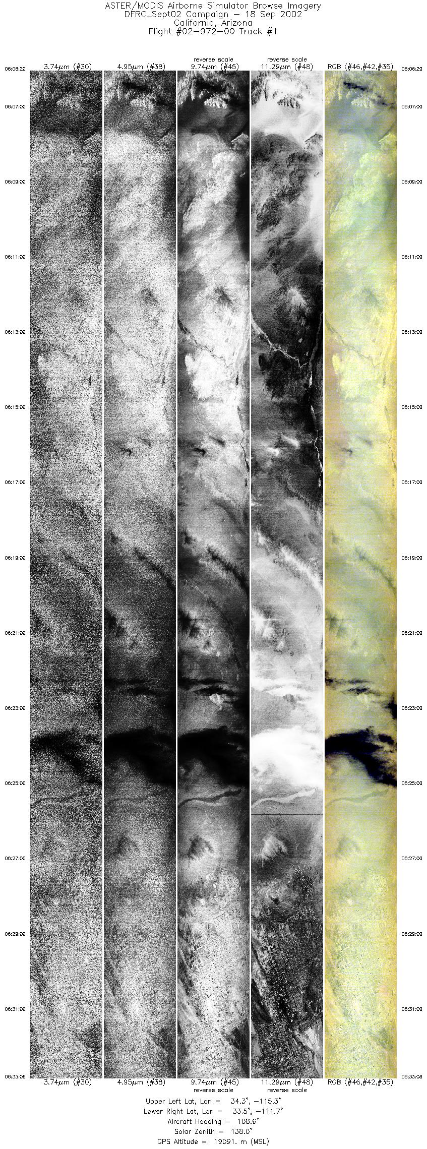
| 1 |
06:06 - 06:33 |
108.8 |
34.484 - 33.362 |
115.209 - 111.764 |
10010 |
18984 |
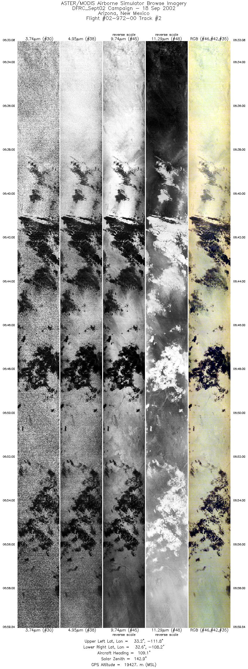
| 2 |
06:33 - 06:59 |
109.3 |
33.362 - 32.412 |
111.763 - 108.275 |
9999 |
19486 |
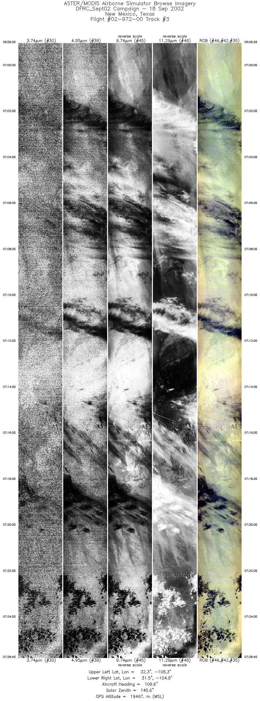
| 3 |
06:59 - 07:26 |
111.4 |
32.412 - 31.332 |
108.275 - 104.841 |
9999 |
19522 |
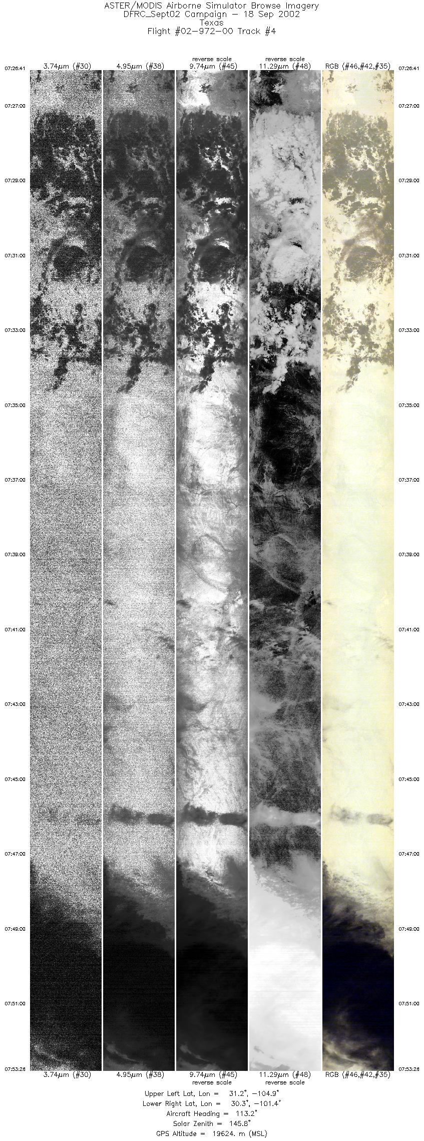
| 4 |
07:26 - 07:53 |
113.0 |
31.332 - 30.134 |
104.841 - 101.506 |
9999 |
19677 |
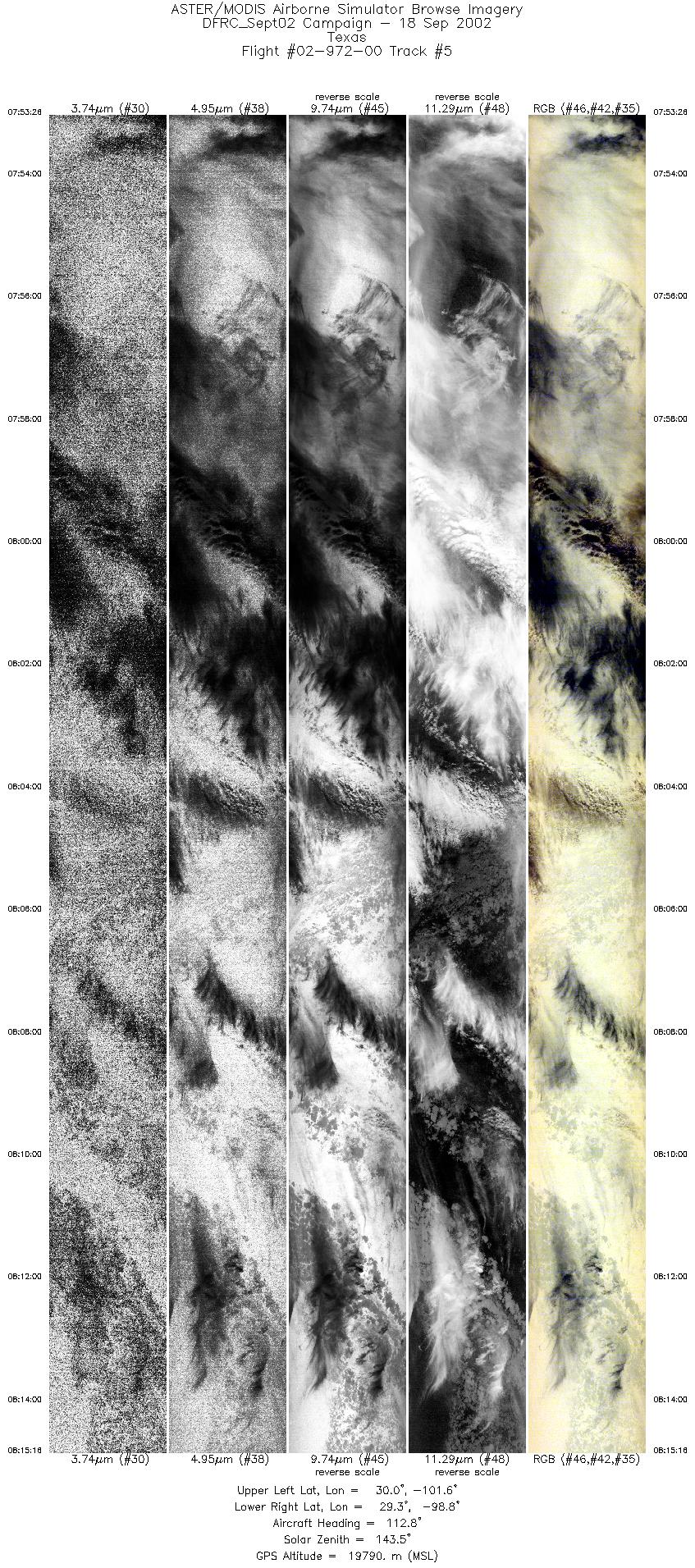
| 5 |
07:53 - 08:15 |
113.9 |
30.134 - 29.121 |
101.506 - 98.911 |
8155 |
19906 |
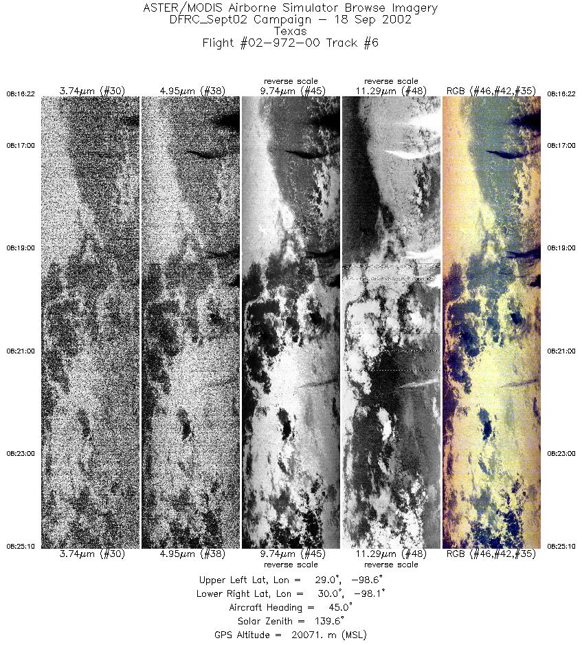
| 6 |
08:16 - 08:25 |
46.9 |
29.139 - 29.825 |
98.786 - 98.010 |
3290 |
20075 |
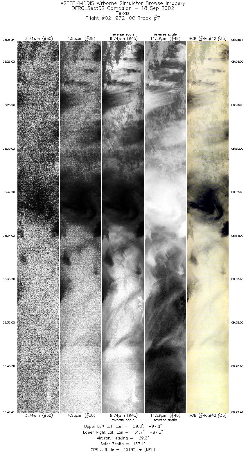
| 7 |
08:25 - 08:42 |
27.5 |
29.861 - 31.608 |
97.981 - 97.098 |
6397 |
20100 |
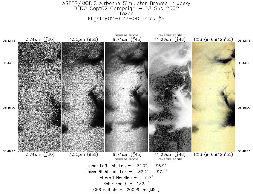
| 8 |
08:43 - 08:48 |
358.0 |
31.671 - 32.225 |
97.088 - 97.170 |
1855 |
20107 |
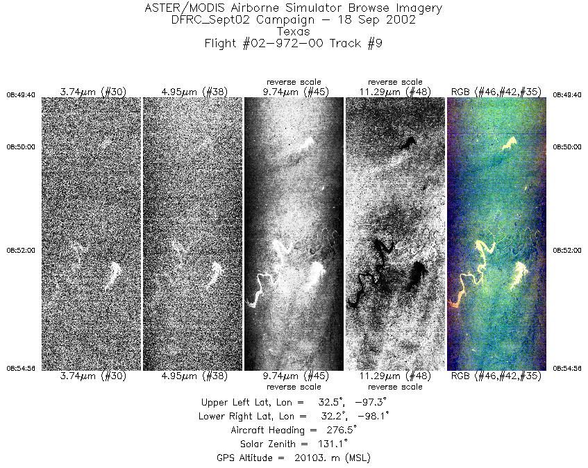
| 9 |
08:49 - 08:54 |
277.6 |
32.330 - 32.406 |
97.301 - 98.026 |
1970 |
20098 |
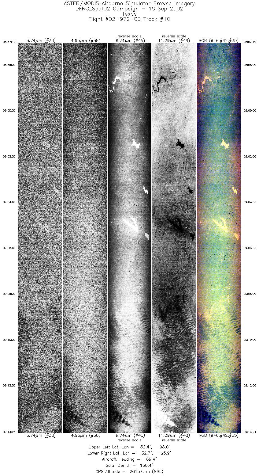
| 10 |
08:57 - 09:14 |
90.9 |
32.581 - 32.570 |
98.033 - 95.864 |
6365 |
20112 |
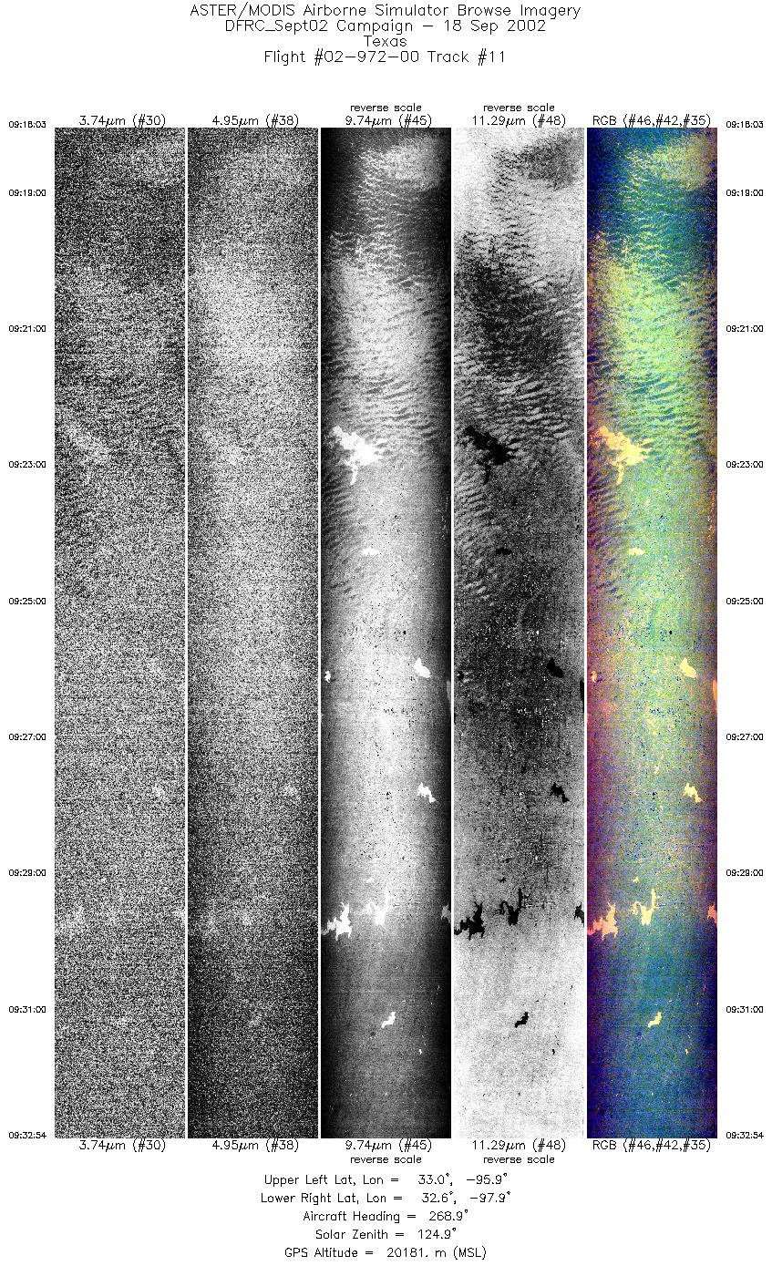
| 11 |
09:18 - 09:32 |
268.9 |
32.807 - 32.790 |
95.856 - 97.921 |
5547 |
20292 |
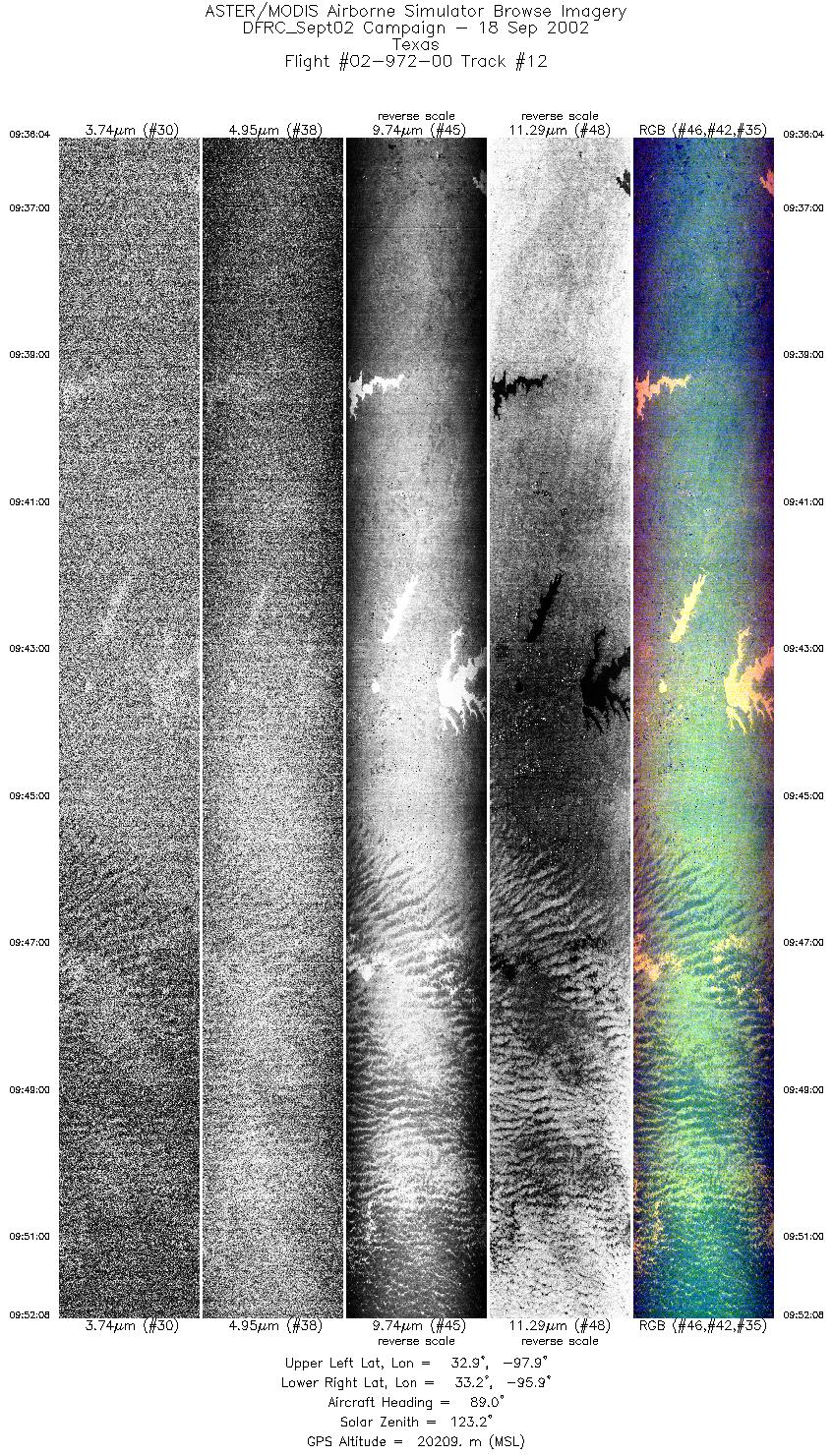
| 12 |
09:36 - 09:52 |
91.0 |
33.021 - 33.010 |
97.943 - 95.876 |
6007 |
20245 |
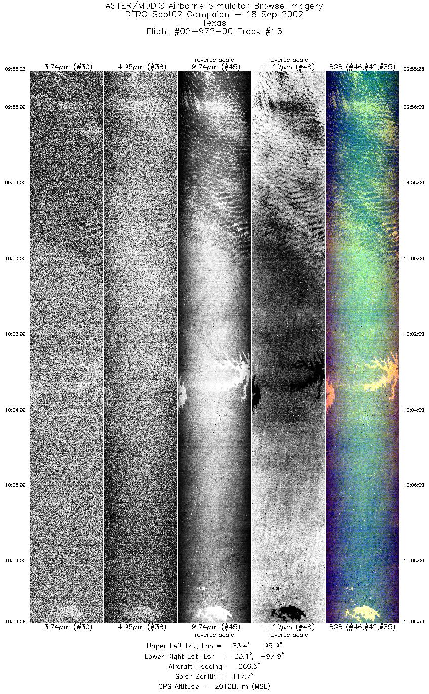
| 13 |
09:55 - 10:09 |
268.0 |
33.248 - 33.229 |
95.861 - 97.896 |
5456 |
20065 |
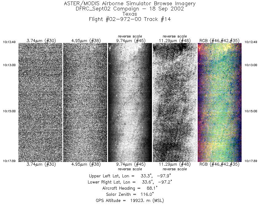
| 14 |
10:12 - 10:17 |
89.9 |
33.424 - 33.426 |
97.899 - 97.227 |
1935 |
19903 |
| 15 |
10:19 - 10:27 |
1.5 |
33.526 - 34.456 |
97.107 - 97.143 |
3093 |
19970 |
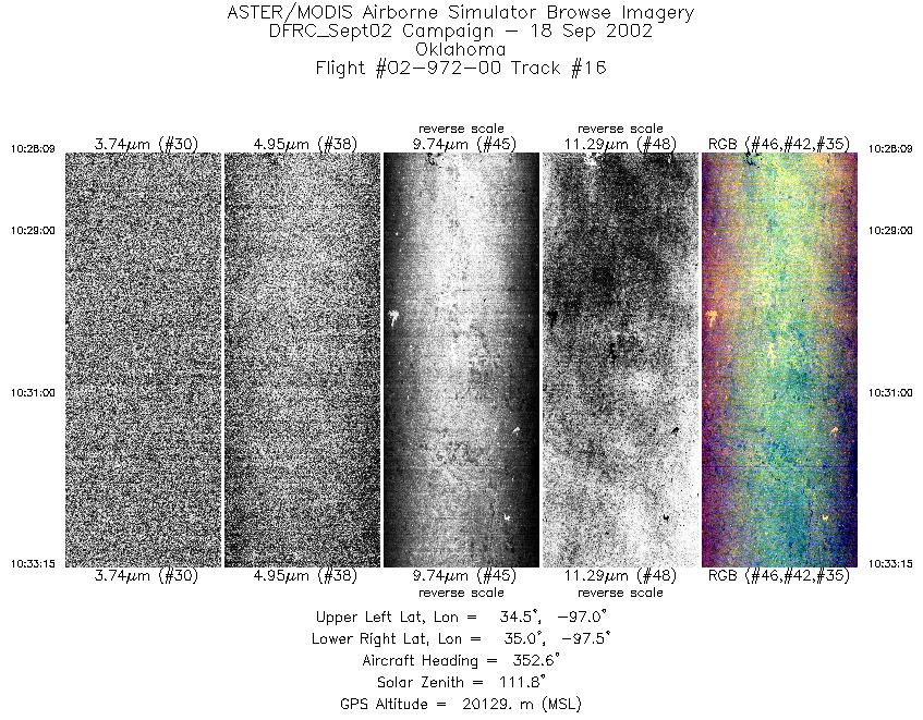
| 16 |
10:28 - 10:33 |
351.6 |
34.504 - 35.074 |
97.150 - 97.294 |
1906 |
20133 |
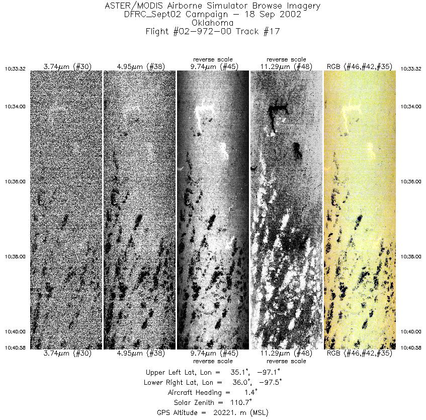
| 17 |
10:33 - 10:40 |
2.0 |
35.108 - 35.955 |
97.299 - 97.300 |
2773 |
20206 |
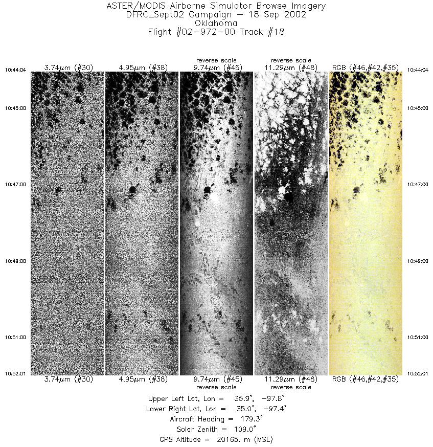
| 18 |
10:44 - 10:52 |
179.4 |
35.936 - 35.044 |
97.585 - 97.593 |
2972 |
20162 |
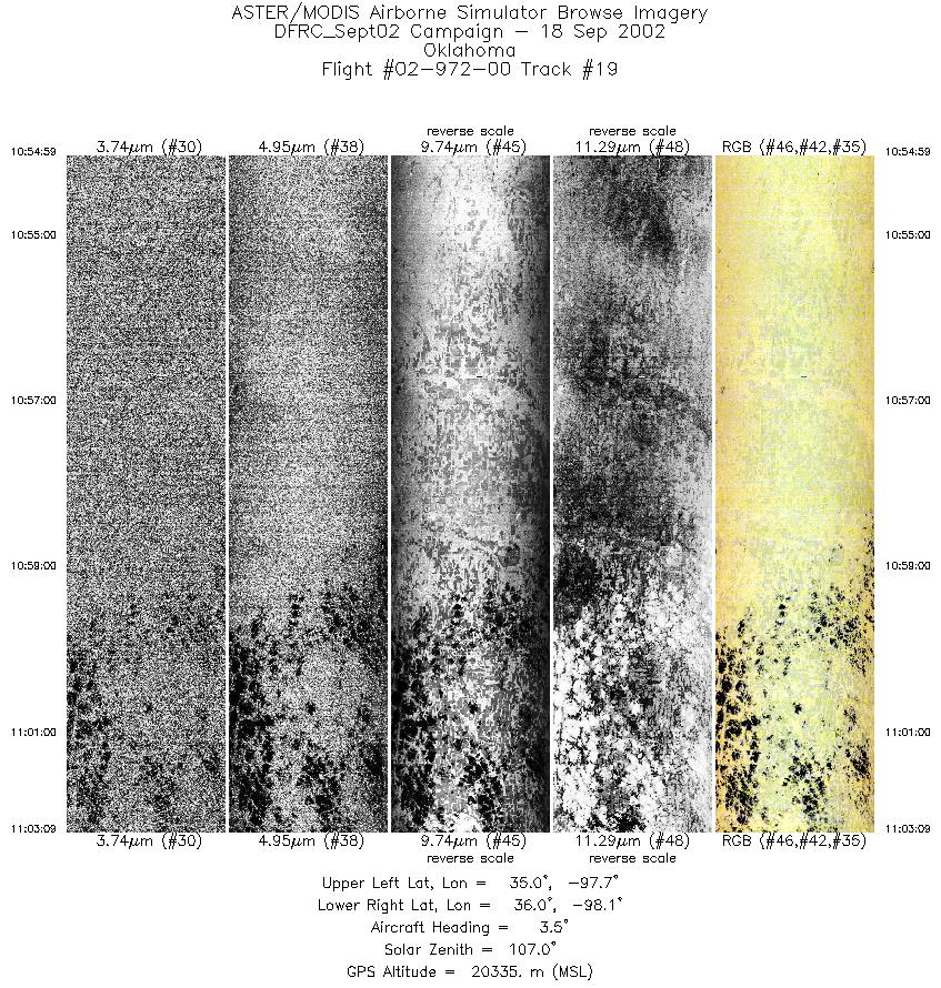
| 19 |
10:54 - 11:03 |
2.6 |
35.026 - 35.953 |
97.875 - 97.880 |
3051 |
20162 |
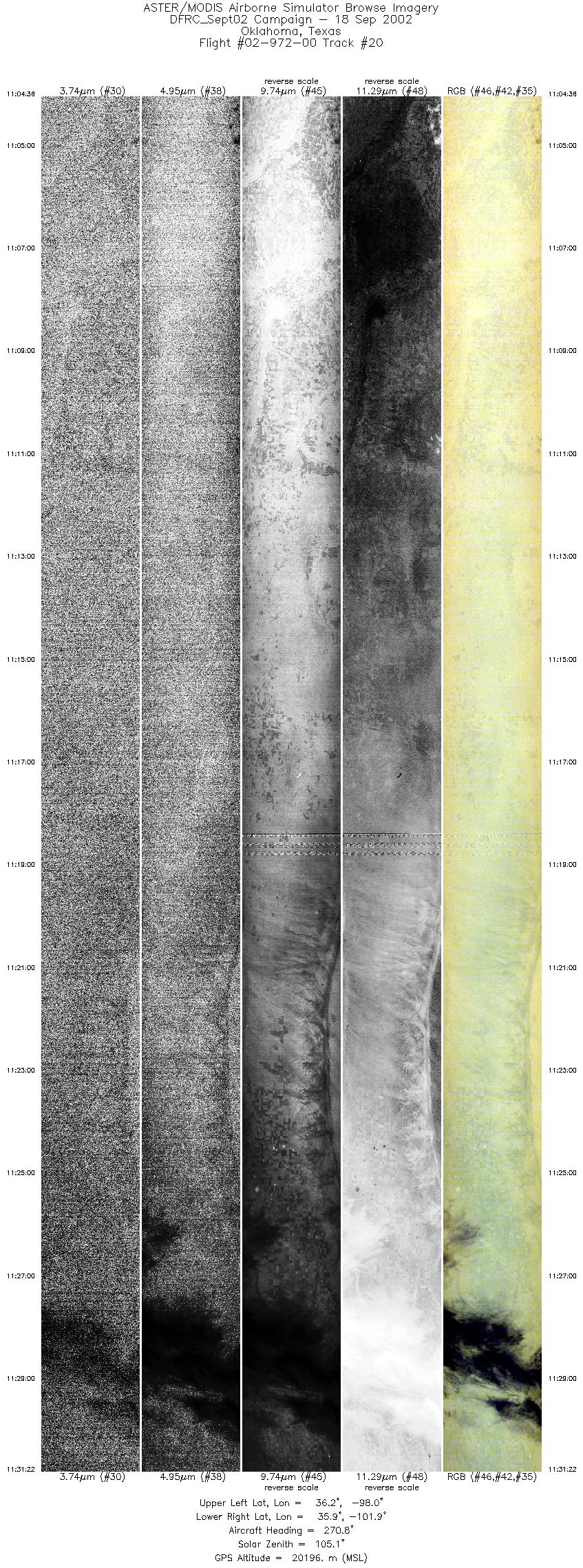
| 20 |
11:04 - 11:31 |
270.2 |
36.063 - 36.071 |
98.006 - 101.930 |
9999 |
20166 |
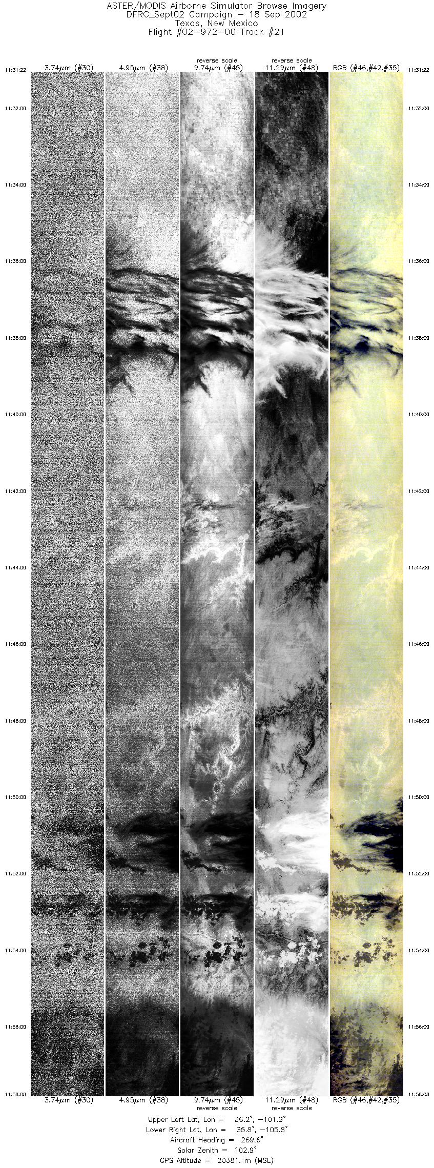
| 21 |
11:31 - 11:58 |
269.4 |
36.071 - 35.953 |
101.931 - 105.835 |
9999 |
20353 |
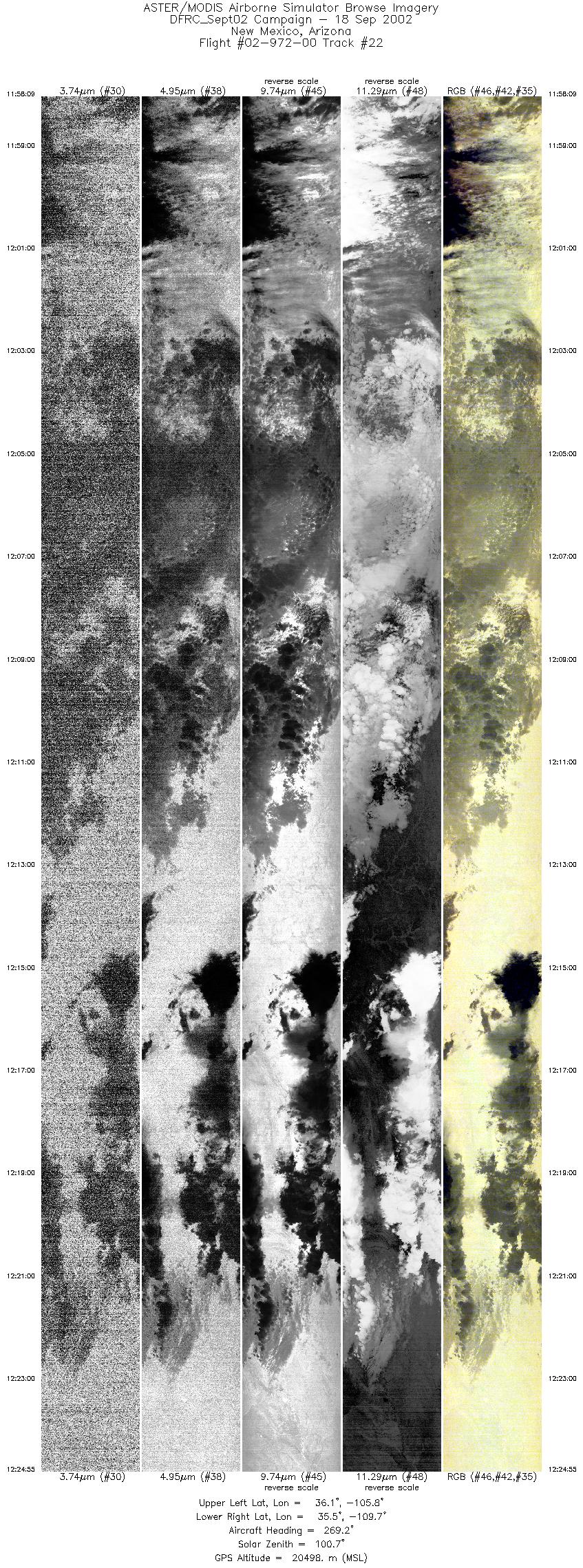
| 22 |
11:58 - 12:24 |
268.4 |
35.953 - 35.707 |
105.835 - 109.721 |
9999 |
20521 |
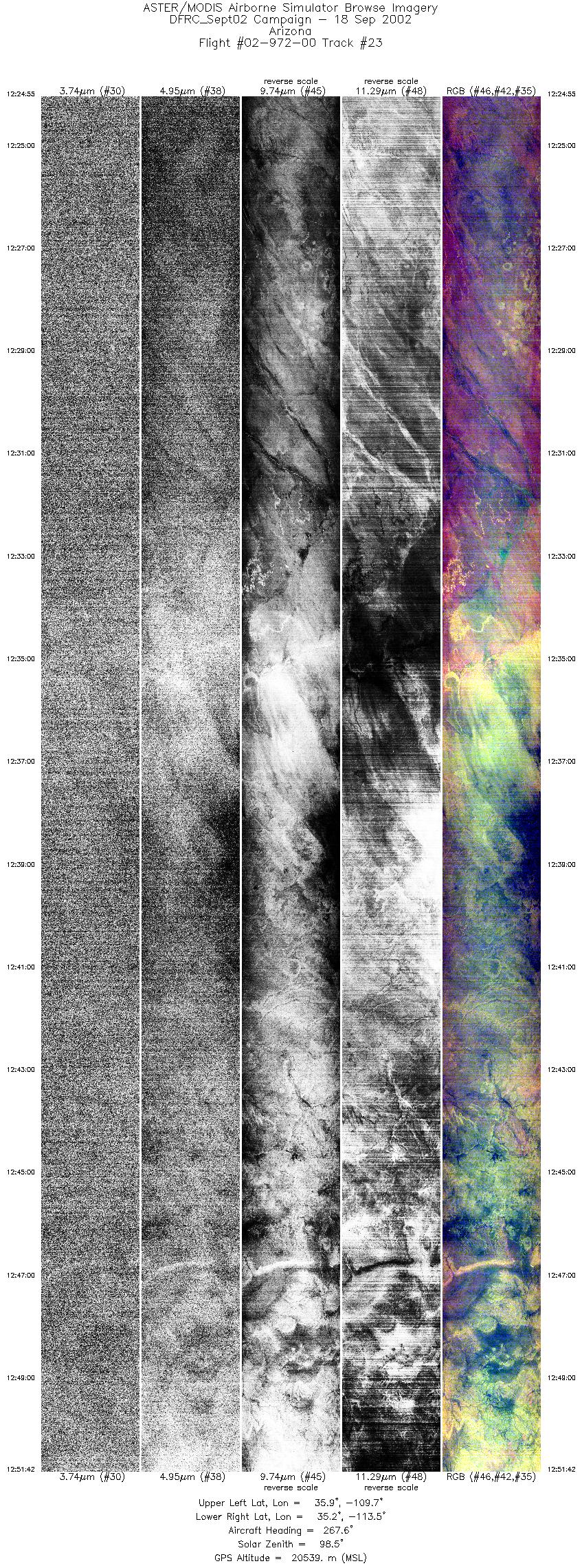
| 23 |
12:24 - 12:51 |
265.8 |
35.707 - 35.340 |
109.721 - 113.555 |
9999 |
20560 |
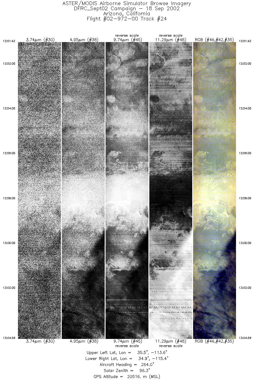
| 24 |
12:51 - 13:04 |
263.6 |
35.340 - 35.110 |
113.555 - 115.471 |
4942 |
20541 |
|


