Flight: 02-920-00
Date: November 14, 2001
Aircraft: NASA ER-2, #809
Deployment: Hawaii 2002
Flight Location: Santa Monica, Santa Barbara; CA
Principal Investigator: Lee (CSULB), Wan (UCSB), Green (JPL)
Additional Sensors: AVIRIS, RC-10
|
Data Evaluation
Flight lines are generally clear with slight haze and some cloud shadows.
|
Processing Information
Level-1B Data in HDF format is available
Flight Line Summary
Spectral Band Configuration
Spectral Response Function Table
Spectral Response Function (text)
|
Browse Imagery
Flight Tracks: 14
Scanlines: 53877
|
Browse Imagery Table
|
Click a Flight Track number to view a quicklook image
Lat/Lon ranges are for the BEG-END scanline nadir pixels
|
Flight
Track |
Time Span
(UTC) |
Heading
(Deg) |
Lat Range
(Deg N) |
Lon Range
(Deg W) |
Length
(Scanlines) |
Altitude
(Meters) |
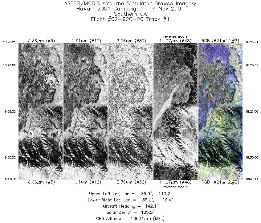
| 1 |
18:25 - 18:31 |
143.6 |
35.407 - 34.888 |
119.023 - 118.518 |
2217 |
18673 |
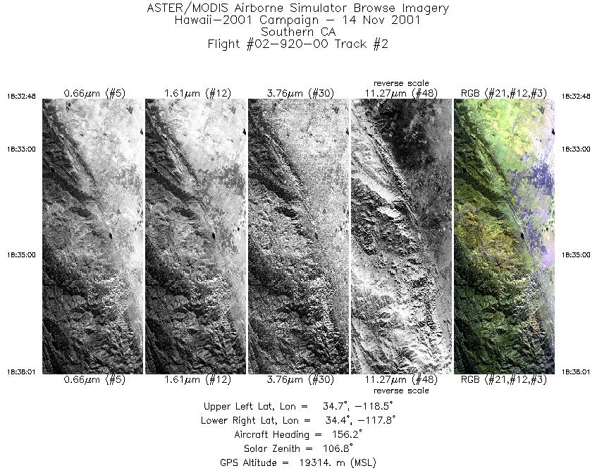
| 2 |
18:32 - 18:38 |
150.8 |
34.777 - 34.283 |
118.361 - 117.958 |
1956 |
19379 |
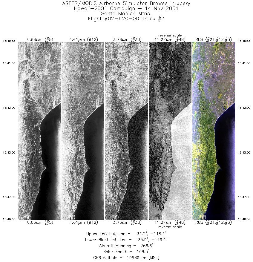
| 3 |
18:40 - 18:48 |
268.6 |
34.056 - 34.047 |
118.042 - 119.130 |
2988 |
19849 |
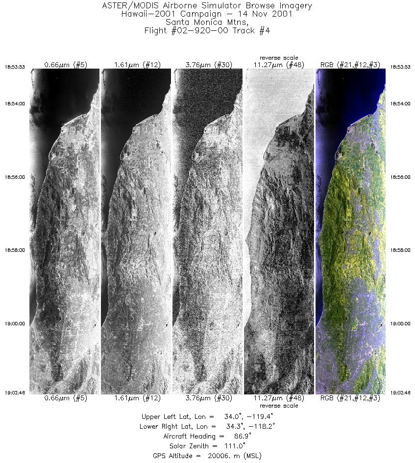
| 4 |
18:53 - 19:02 |
89.5 |
34.147 - 34.156 |
119.433 - 118.227 |
3328 |
19979 |
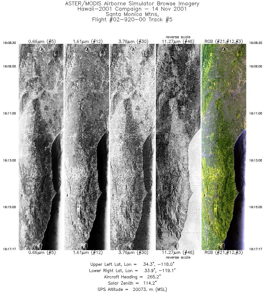
| 5 |
19:08 - 19:17 |
267.8 |
34.110 - 34.104 |
117.965 - 119.137 |
3292 |
20063 |
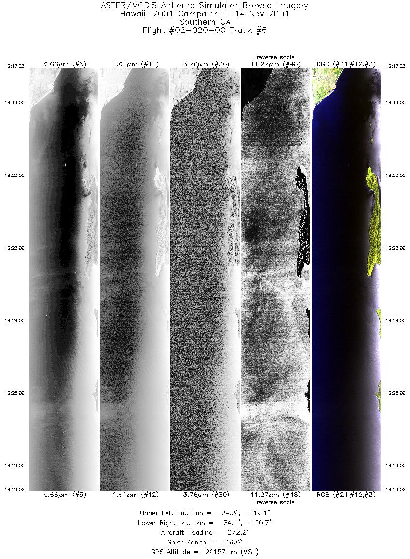
| 6 |
19:17 - 19:29 |
272.7 |
34.104 - 34.230 |
119.149 - 120.712 |
4368 |
20149 |
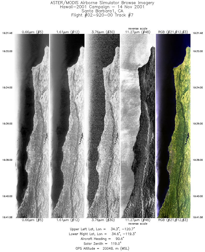
| 7 |
19:31 - 19:41 |
91.3 |
34.435 - 34.444 |
120.730 - 119.334 |
3808 |
20033 |
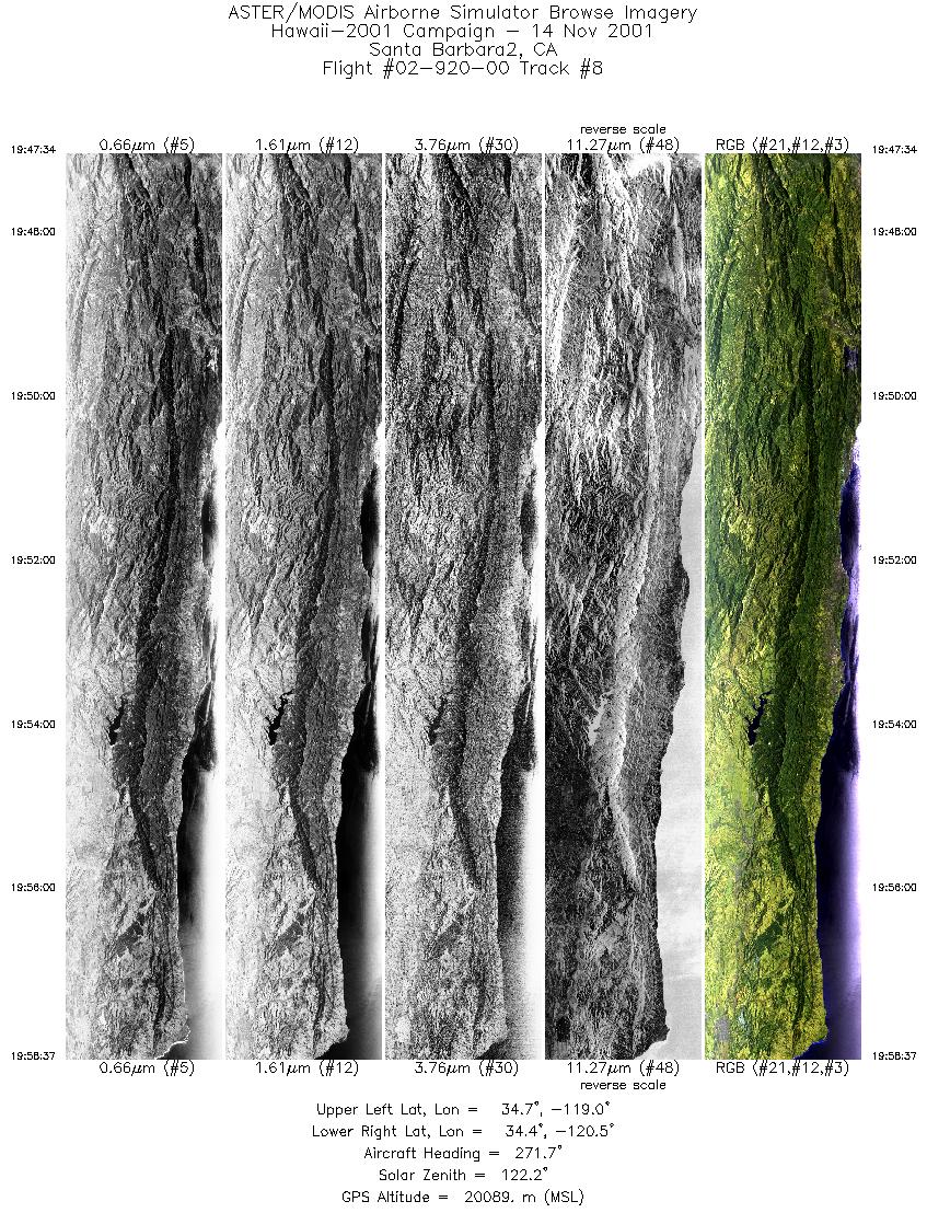
| 8 |
19:47 - 19:58 |
270.9 |
34.525 - 34.532 |
119.009 - 120.507 |
4143 |
20085 |
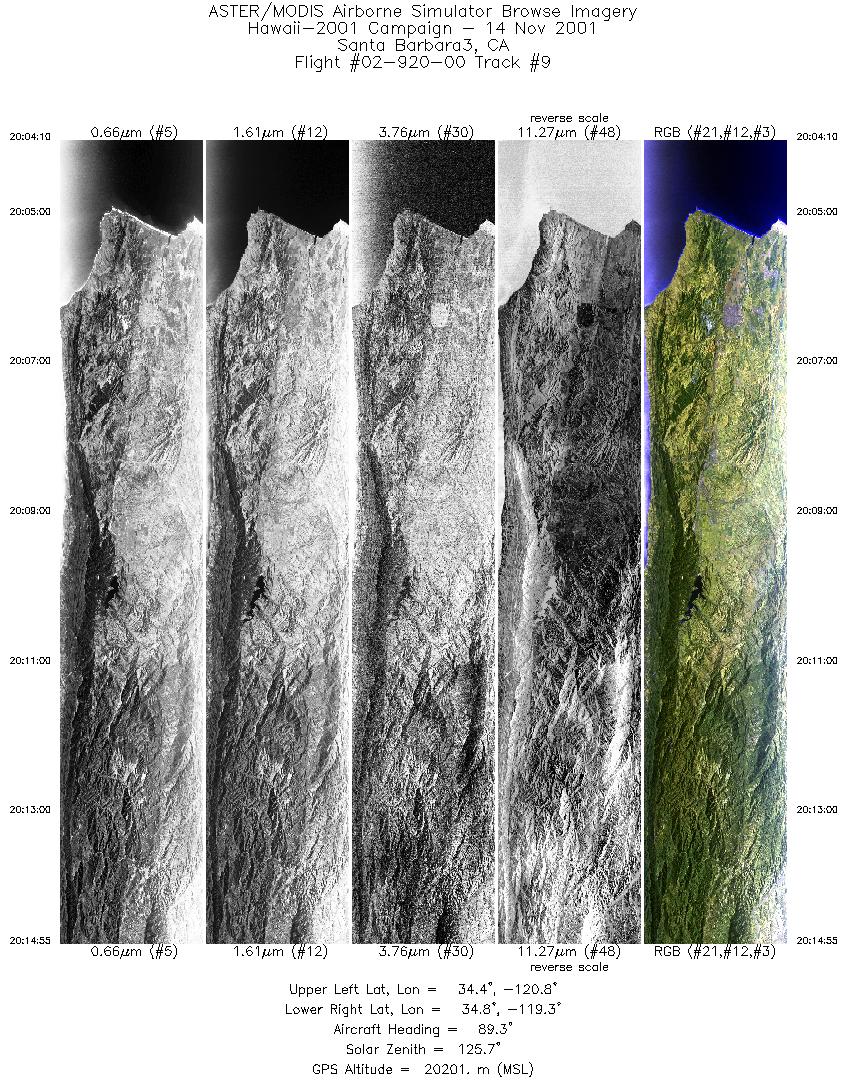
| 9 |
20:04 - 20:14 |
90.3 |
34.607 - 34.614 |
120.770 - 119.302 |
4021 |
20138 |
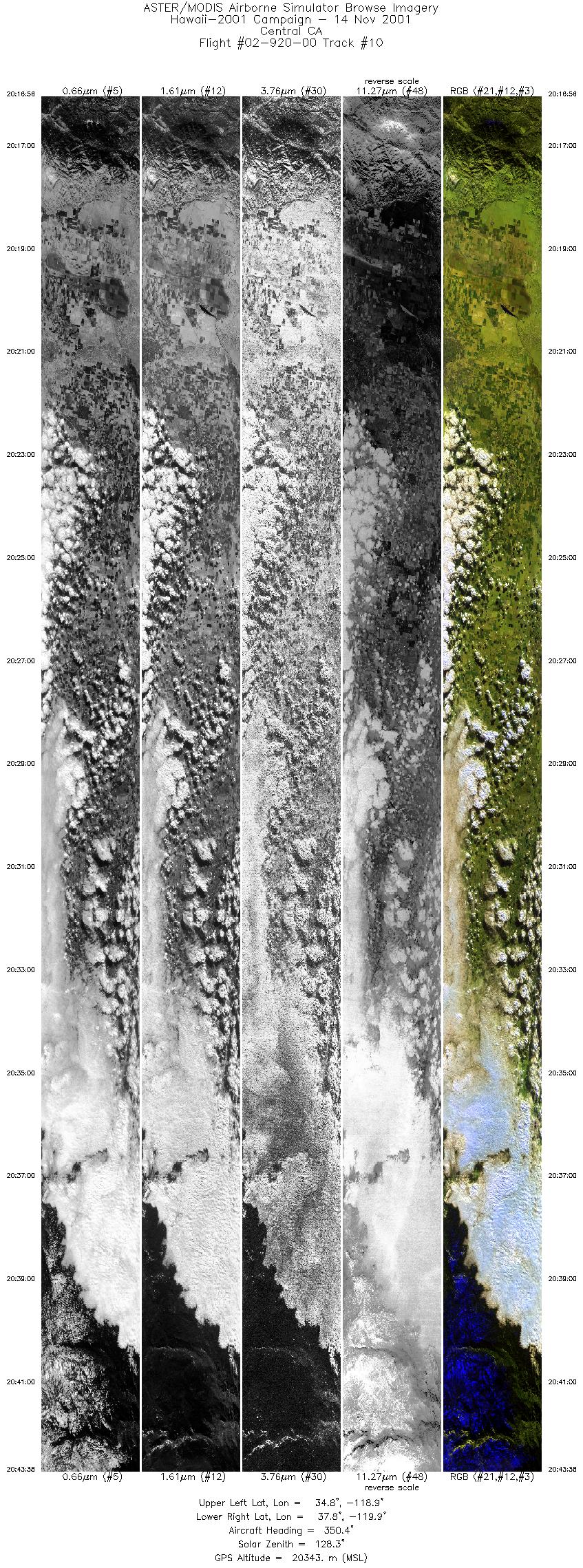
| 10 |
20:16 - 20:43 |
351.1 |
34.762 - 37.808 |
119.135 - 119.651 |
9999 |
20347 |
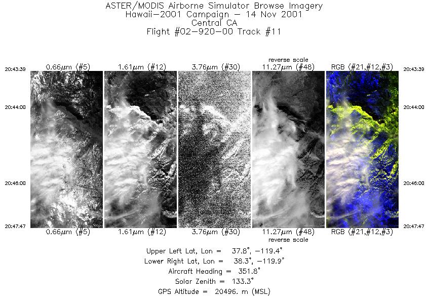
| 11 |
20:43 - 20:47 |
351.6 |
37.809 - 38.288 |
119.651 - 119.737 |
1554 |
20518 |
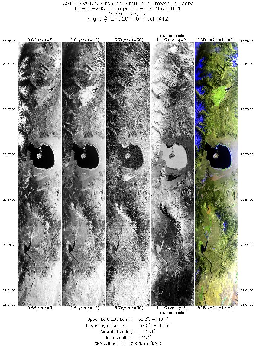
| 12 |
20:50 - 21:01 |
139.2 |
38.416 - 37.440 |
119.506 - 118.435 |
4358 |
20502 |
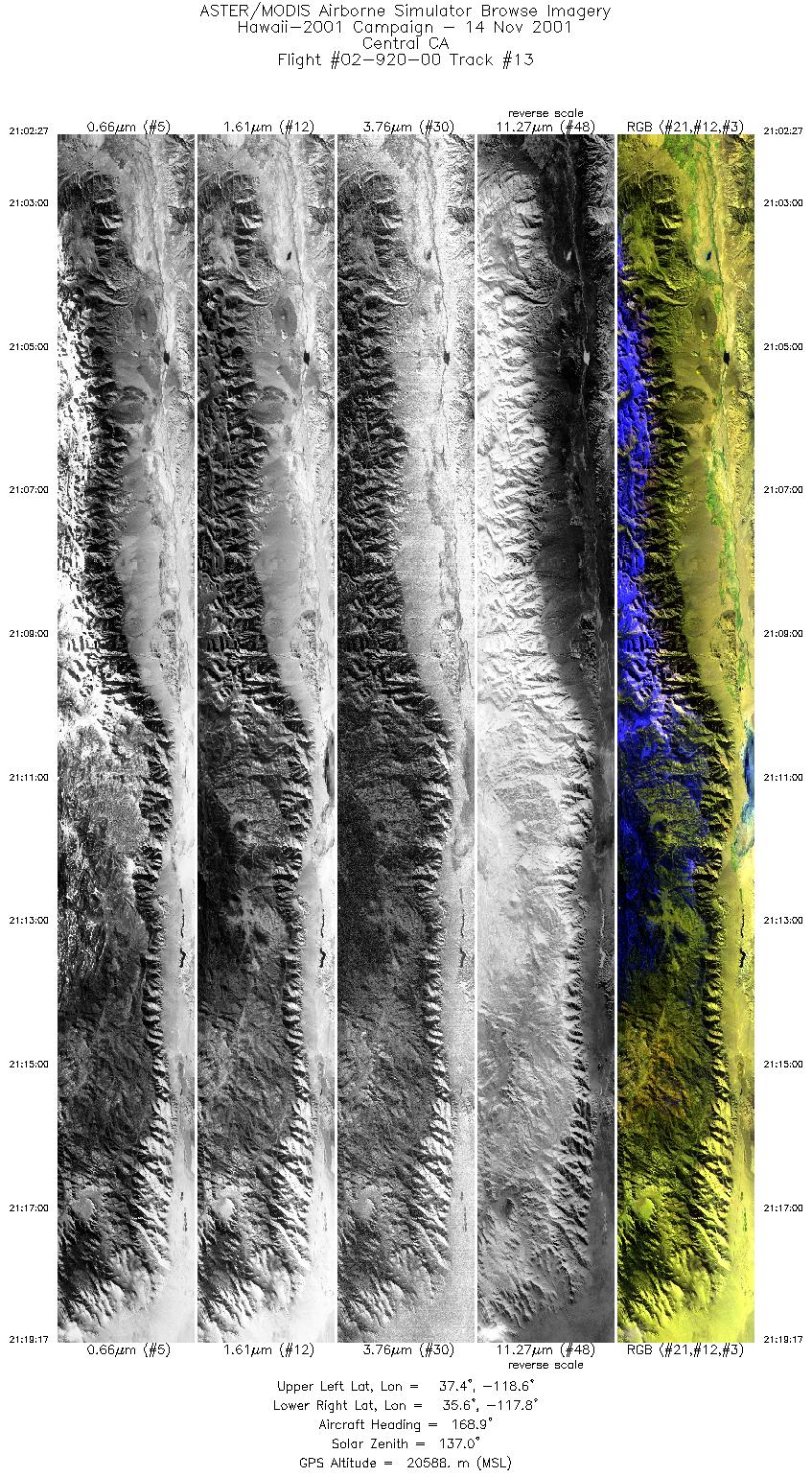
| 13 |
21:02 - 21:19 |
168.0 |
37.385 - 35.541 |
118.402 - 117.963 |
6303 |
20628 |
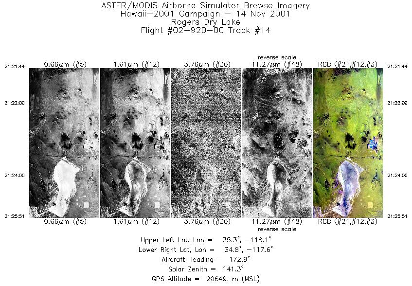
| 14 |
21:21 - 21:25 |
176.7 |
35.282 - 34.818 |
117.844 - 117.836 |
1542 |
20638 |
|


