Flight: 02-919-00
Date: November 9, 2001
Aircraft: NASA ER-2, #809
Deployment: Hawaii 2002
Flight Location: Utah
Principal Investigator: Baker (UAZ)
Additional Sensors: AVIRIS, RC-10
|
Data Evaluation
Flight lines are generally clear with slight haze and some cloud shadows.
|
Processing Information
Level-1B Data in HDF format is available
Flight Line Summary
Spectral Band Configuration
Spectral Response Function Table
Spectral Response Function (text)
|
Browse Imagery
Flight Tracks: 12
Scanlines: 47392
|
Browse Imagery Table
|
Click a Flight Track number to view a quicklook image
Lat/Lon ranges are for the BEG-END scanline nadir pixels
|
Flight
Track |
Time Span
(UTC) |
Heading
(Deg) |
Lat Range
(Deg N) |
Lon Range
(Deg W) |
Length
(Scanlines) |
Altitude
(Meters) |
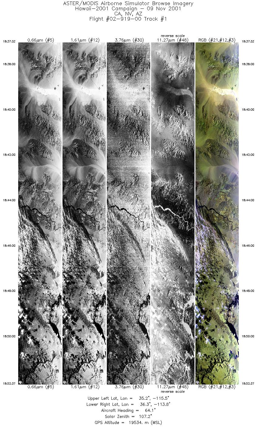
| 1 |
18:37 - 18:52 |
64.6 |
35.358 - 36.104 |
115.628 - 113.763 |
5645 |
19136 |
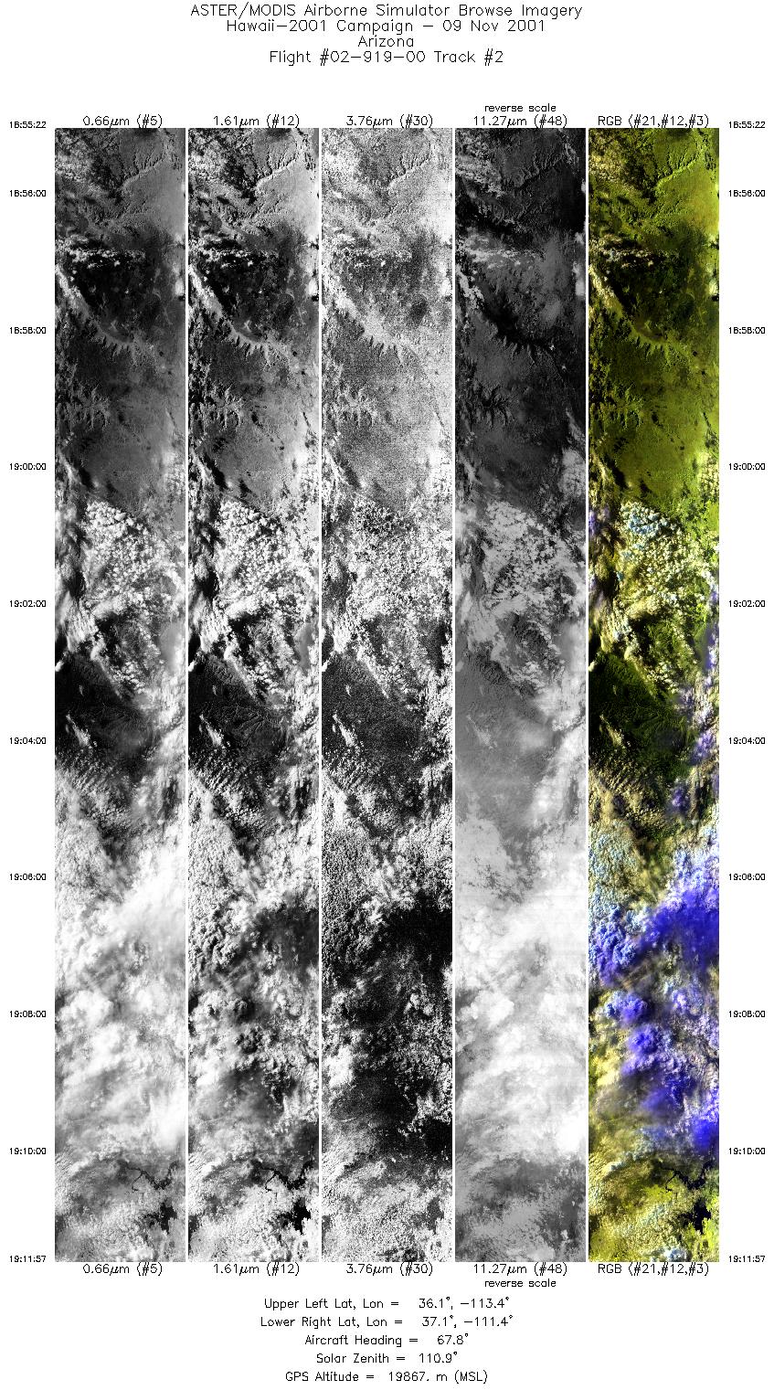
| 2 |
18:55 - 19:11 |
68.5 |
36.235 - 36.968 |
113.442 - 111.288 |
6209 |
19836 |
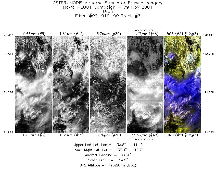
| 3 |
19:12 - 19:17 |
60.0 |
36.985 - 37.289 |
111.244 - 110.614 |
1910 |
19834 |
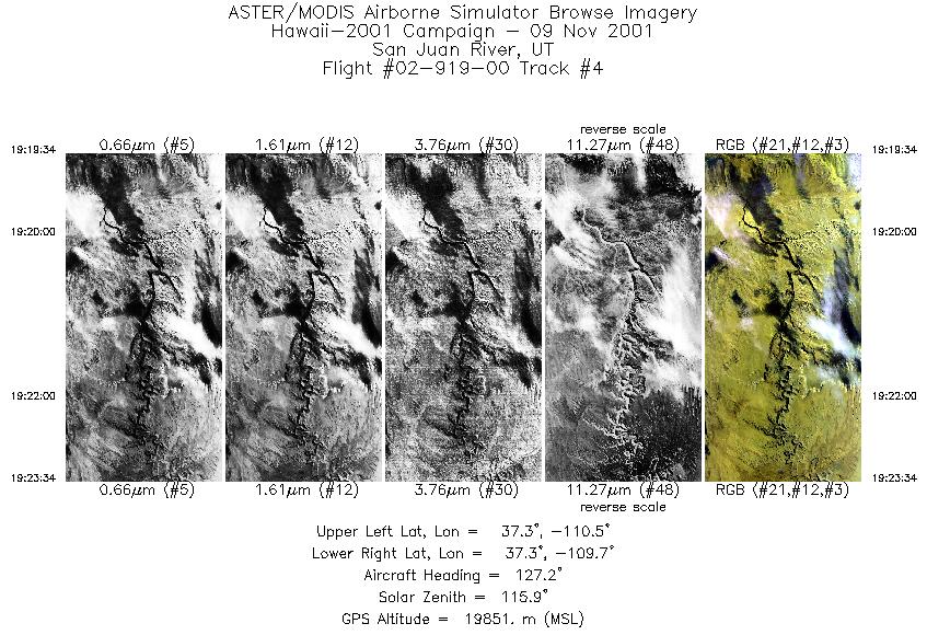
| 4 |
19:19 - 19:23 |
127.1 |
37.386 - 37.125 |
110.341 - 109.861 |
1502 |
19864 |
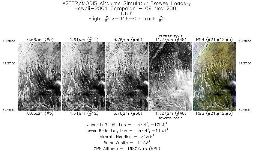
| 5 |
19:26 - 19:29 |
313.2 |
37.294 - 37.524 |
109.669 - 109.971 |
1159 |
19804 |
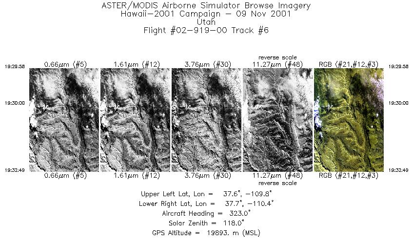
| 6 |
19:29 - 19:32 |
323.3 |
37.548 - 37.797 |
109.998 - 110.222 |
1066 |
19874 |
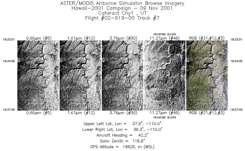
| 7 |
19:33 - 19:37 |
44.9 |
37.899 - 38.147 |
110.199 - 109.846 |
1215 |
19853 |
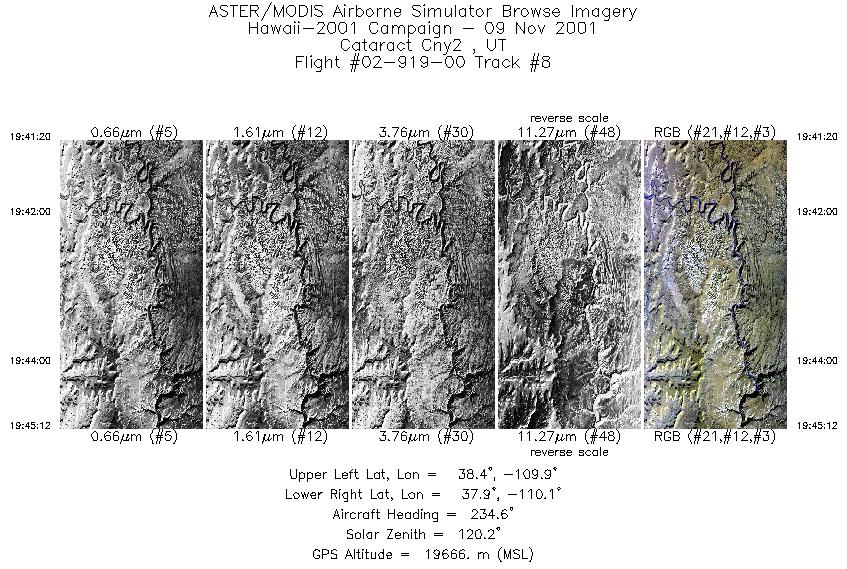
| 8 |
19:41 - 19:45 |
233.1 |
38.287 - 38.019 |
109.797 - 110.203 |
1447 |
19663 |
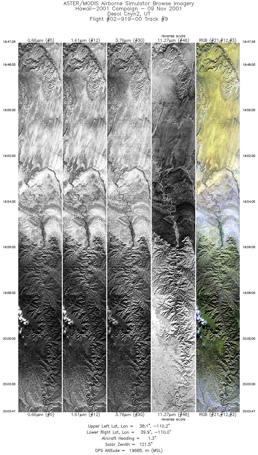
| 9 |
19:47 - 20:03 |
7.9 |
38.126 - 39.860 |
110.412 - 109.829 |
6058 |
19793 |
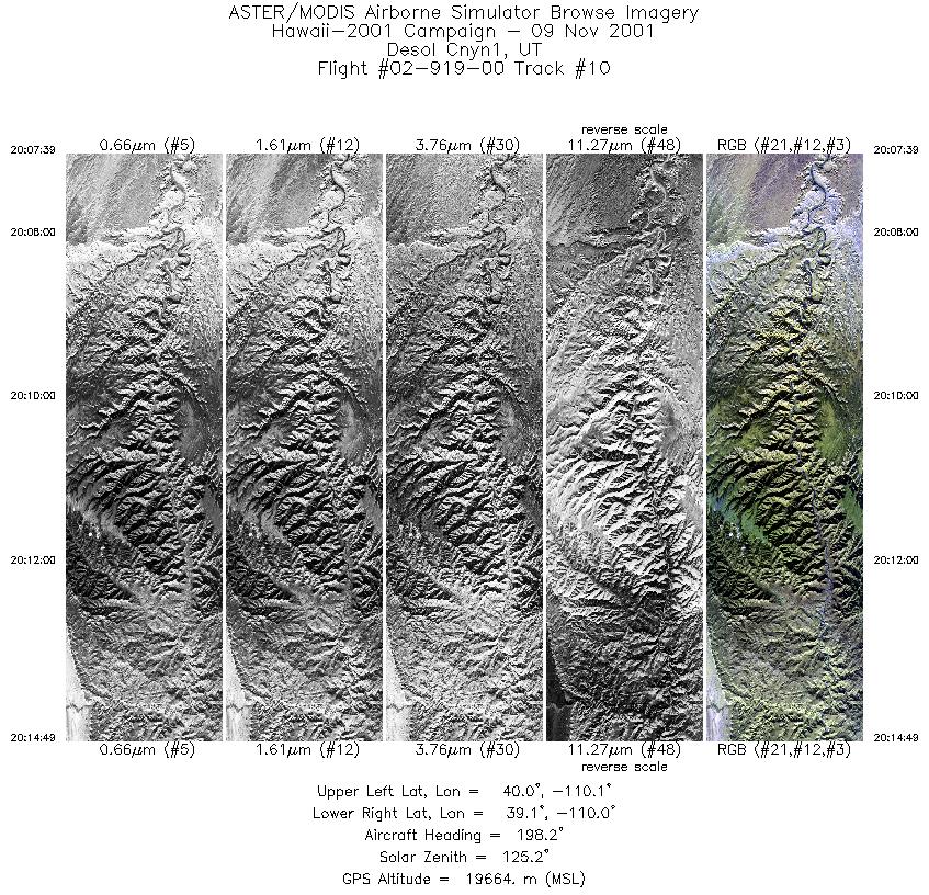
| 10 |
20:07 - 20:14 |
198.6 |
39.952 - 39.172 |
109.918 - 110.194 |
2681 |
19687 |
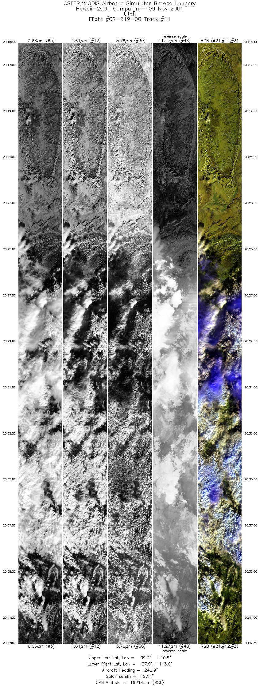
| 11 |
20:16 - 20:42 |
236.9 |
39.019 - 37.174 |
110.381 - 113.105 |
9770 |
19792 |
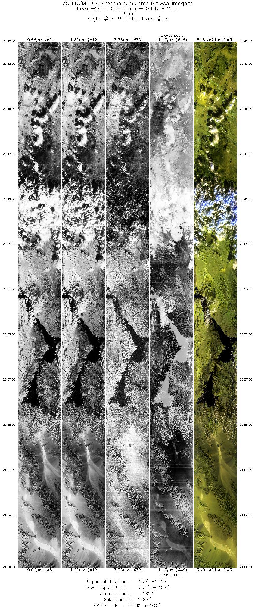
| 12 |
20:42 - 21:06 |
230.7 |
37.170 - 35.491 |
113.110 - 115.513 |
8730 |
19794 |
|


