Flight: 02-918-00
Date: November 7, 2001
Aircraft: NASA ER-2, #809
Deployment: Hawaii 2002
Flight Location: Honolulu, HI to DFRC, CA
Principal Investigator: Ferry Flight
Additional Sensors: AVIRIS
|
Data Evaluation
Flight lines are generally clear with slight haze and some cloud shadows.
|
Processing Information
Level-1B Data in HDF format is available
Flight Line Summary
Spectral Band Configuration
Spectral Response Function Table
Spectral Response Function (text)
|
Browse Imagery
Flight Tracks: 15
Scanlines: 120307
|
Browse Imagery Table
|
Click a Flight Track number to view a quicklook image
Lat/Lon ranges are for the BEG-END scanline nadir pixels
|
Flight
Track |
Time Span
(UTC) |
Heading
(Deg) |
Lat Range
(Deg N) |
Lon Range
(Deg W) |
Length
(Scanlines) |
Altitude
(Meters) |
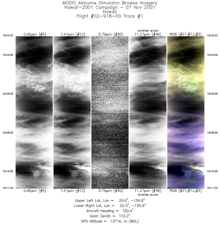
| 1 |
19:03 - 19:11 |
131.2 |
20.720 - 20.194 |
156.732 - 155.838 |
2944 |
13722 |
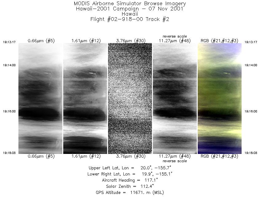
| 2 |
19:13 - 19:18 |
120.9 |
20.046 - 19.823 |
155.668 - 155.187 |
1802 |
11594 |
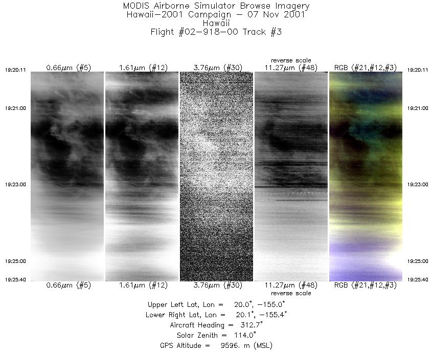
| 3 |
19:20 - 19:25 |
311.1 |
19.913 - 20.189 |
155.069 - 155.315 |
2054 |
9583 |
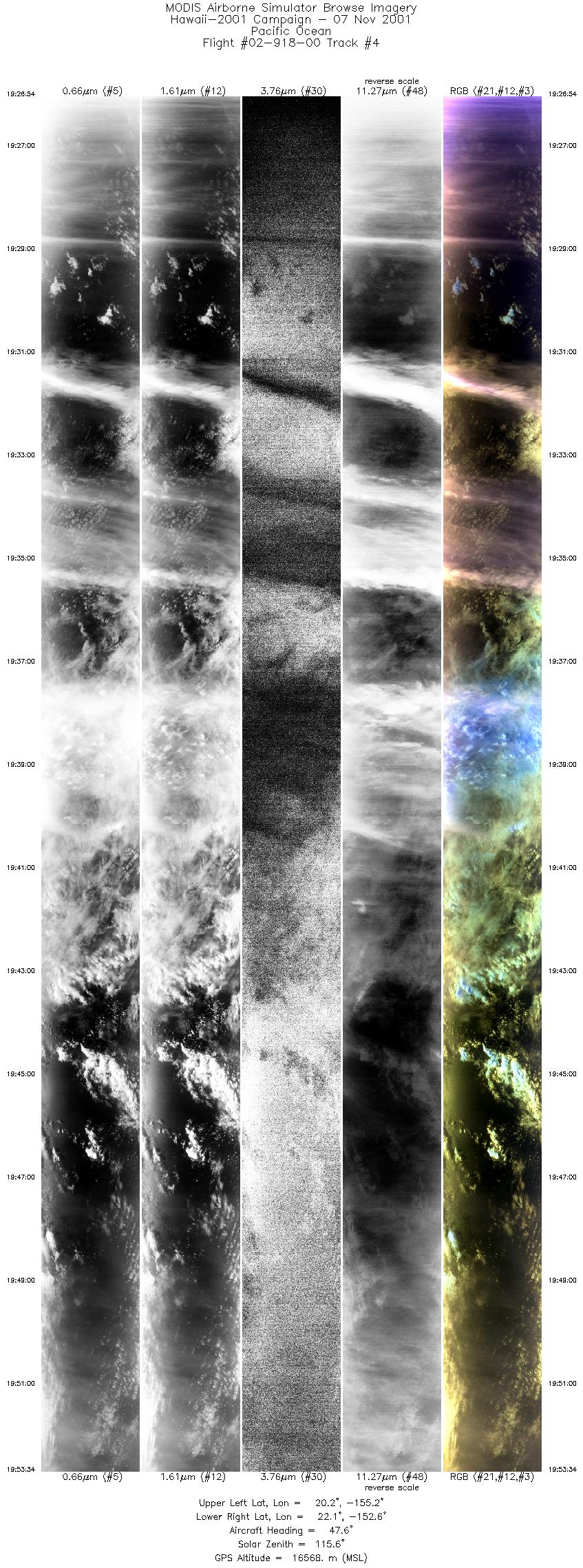
| 4 |
19:26 - 19:53 |
53.2 |
20.280 - 21.930 |
155.290 - 152.548 |
10000 |
14864 |
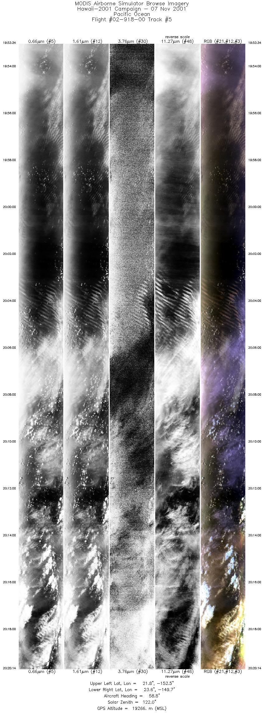
| 5 |
19:53 - 20:20 |
62.0 |
21.930 - 23.431 |
152.547 - 149.623 |
10000 |
19245 |
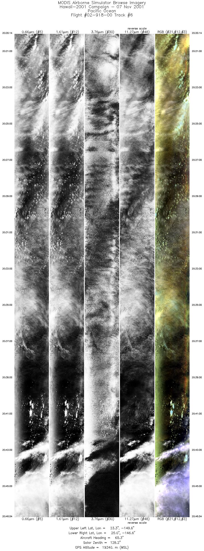
| 6 |
20:20 - 20:46 |
65.8 |
23.431 - 24.817 |
149.623 - 146.567 |
10000 |
19251 |
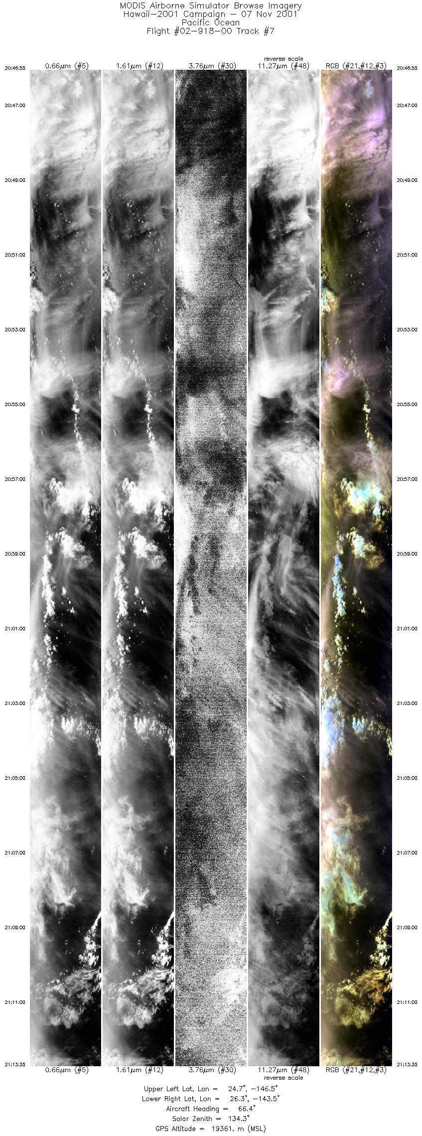
| 7 |
20:46 - 21:13 |
67.4 |
24.817 - 26.138 |
146.567 - 143.451 |
10000 |
19358 |
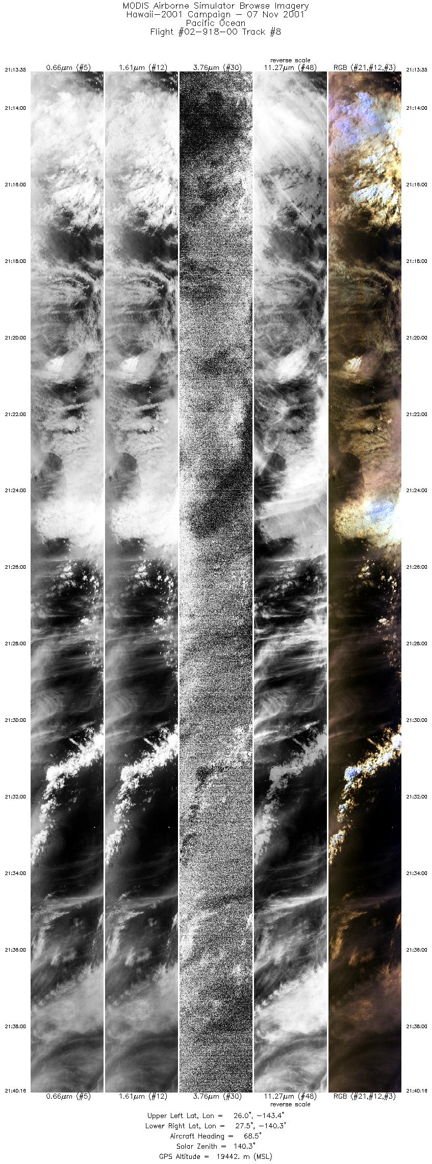
| 8 |
21:13 - 21:40 |
69.1 |
26.138 - 27.385 |
143.451 - 140.279 |
10000 |
19482 |
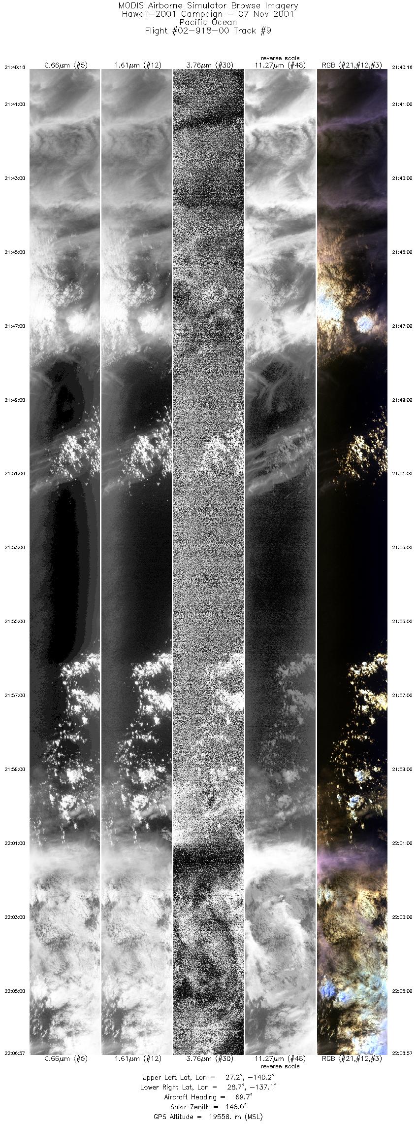
| 9 |
21:40 - 22:06 |
70.5 |
27.385 - 28.569 |
140.279 - 137.003 |
10000 |
19575 |
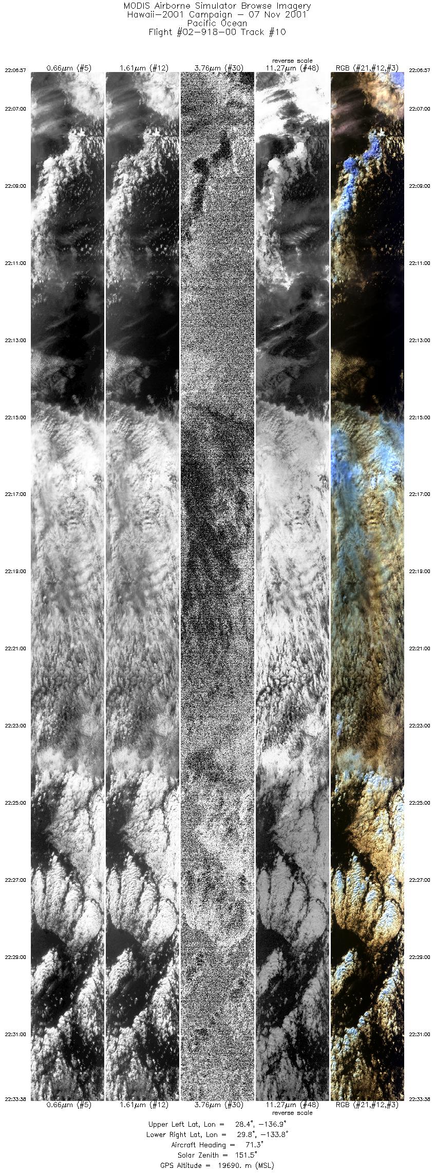
| 10 |
22:06 - 22:33 |
72.0 |
28.569 - 29.657 |
137.003 - 133.702 |
10000 |
19679 |
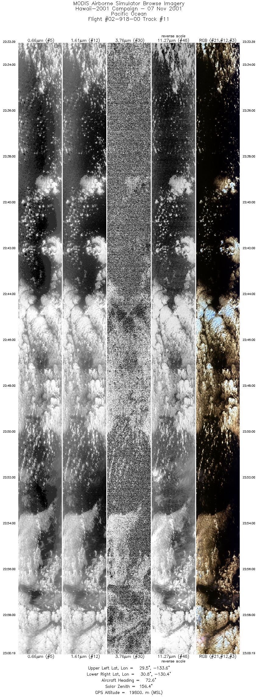
| 11 |
22:33 - 23:00 |
73.0 |
29.657 - 30.671 |
133.702 - 130.303 |
10000 |
19783 |
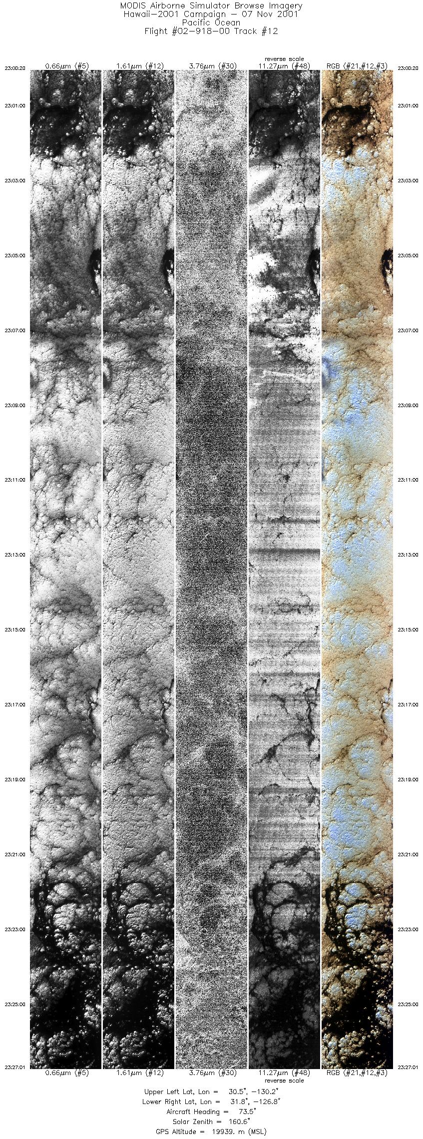
| 12 |
23:00 - 23:27 |
74.5 |
30.671 - 31.602 |
130.303 - 126.799 |
10000 |
19933 |
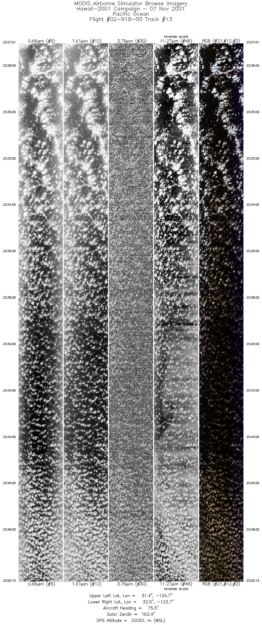
| 13 |
23:27 - 23:50 |
76.2 |
31.602 - 32.330 |
126.798 - 123.702 |
8692 |
20055 |
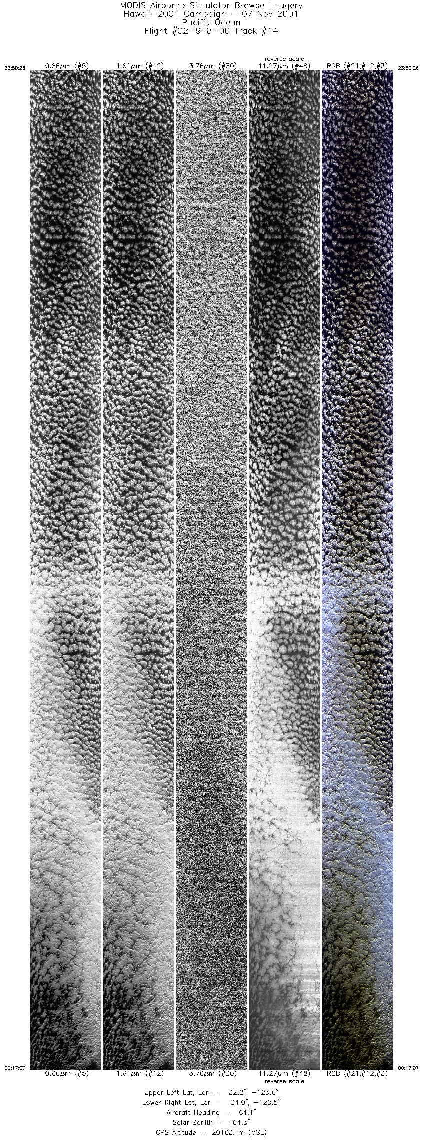
| 14 |
23:50 - 00:17 |
63.4 |
32.340 - 33.850 |
123.673 - 120.400 |
10000 |
20136 |
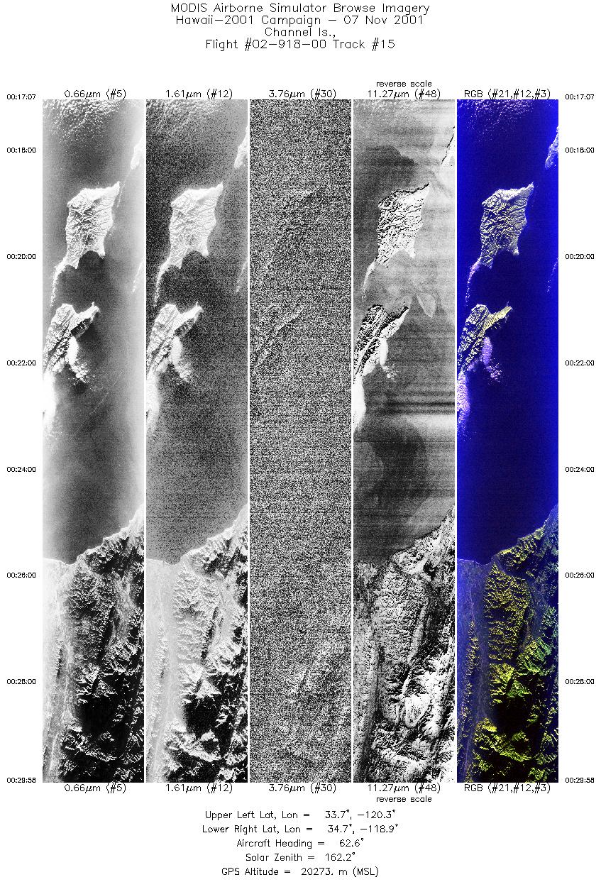
| 15 |
00:17 - 00:29 |
63.2 |
33.850 - 34.529 |
120.400 - 118.804 |
4815 |
20243 |
|


