Flight: 02-908-00
Date: October 24, 2001
Aircraft: NASA ER-2, #809
Deployment: Hawaii 2002
Flight Location: Hawaii, Kahoolawe; HI
Principal Investigator: Asner (UCO), Goodman (UCD)
Additional Sensors: AVIRIS, RC-30
|
Data Evaluation
Flight lines are generally clear with slight haze and some cloud shadows.
Navigation Recorder failed during flight.
|
Processing Information
Level-1B Data in HDF format is available
Flight Line Summary
Spectral Band Configuration
Spectral Response Function Table
Spectral Response Function (text)
|
Browse Imagery
Flight Tracks: 17
Scanlines: 40669
|
Browse Imagery Table
|
Click a Flight Track number to view a quicklook image
Lat/Lon ranges are for the BEG-END scanline nadir pixels
|
Flight
Track |
Time Span
(UTC) |
Heading
(Deg) |
Lat Range
(Deg N) |
Lon Range
(Deg E) |
Length
(Scanlines) |
Altitude
(Meters) |
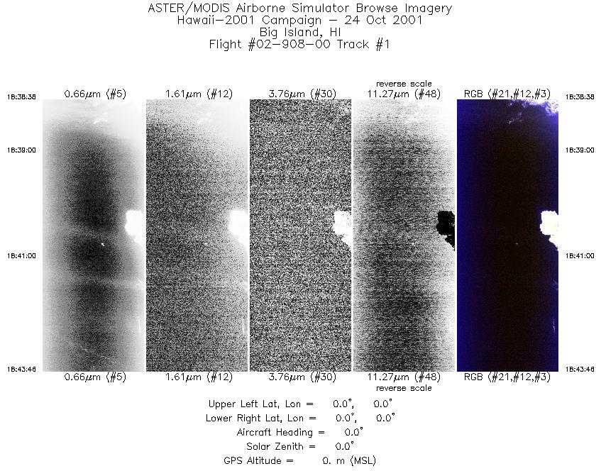
| 1 |
18:38 - 18:43 |
0.0 |
0.000 - 0.000 |
0.000 - 0.000 |
1921 |
0 |
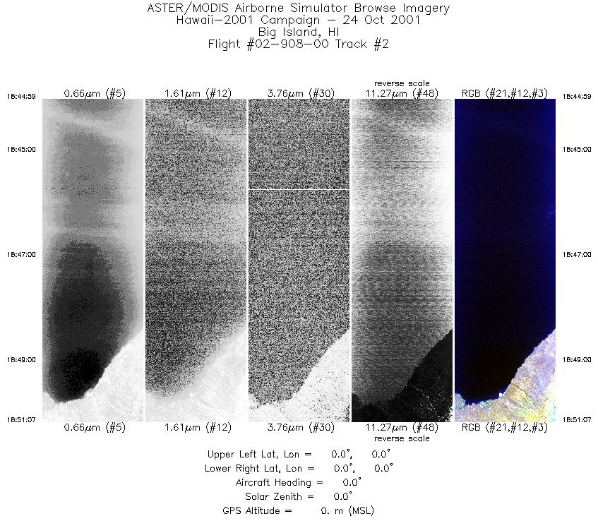
| 2 |
18:44 - 18:51 |
0.0 |
0.000 - 0.000 |
0.000 - 0.000 |
2294 |
0 |
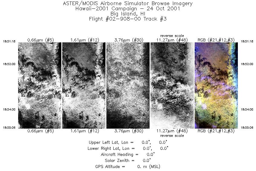
| 3 |
18:51 - 18:55 |
0.0 |
0.000 - 0.000 |
0.000 - 0.000 |
1425 |
0 |
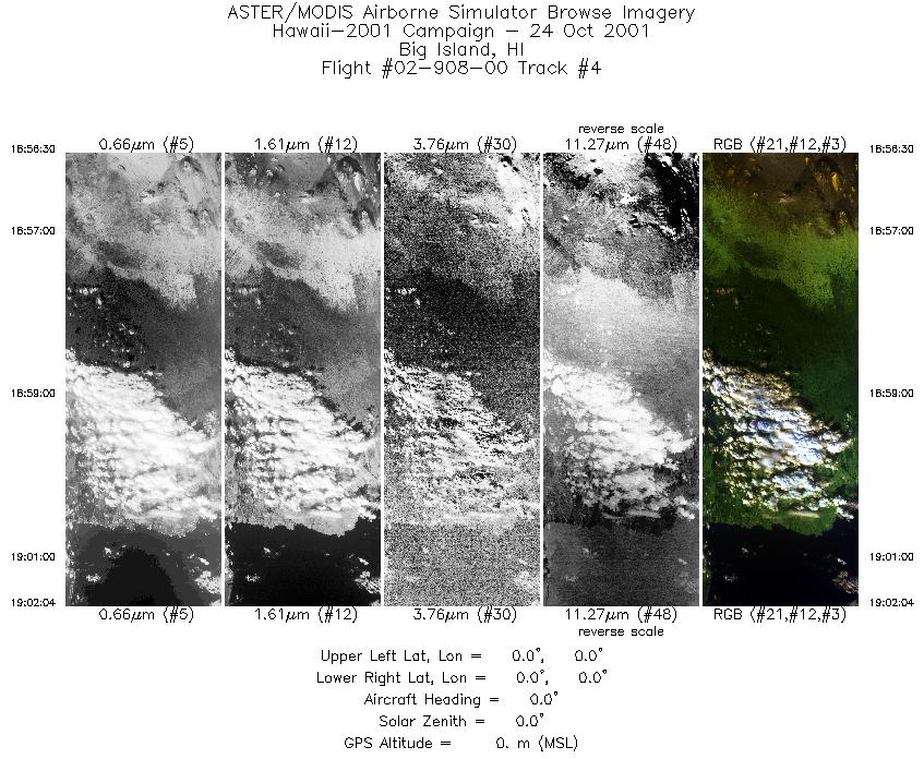
| 4 |
18:56 - 19:02 |
0.0 |
0.000 - 0.000 |
0.000 - 0.000 |
2084 |
0 |
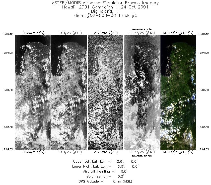
| 5 |
19:03 - 19:09 |
0.0 |
0.000 - 0.000 |
0.000 - 0.000 |
2316 |
0 |
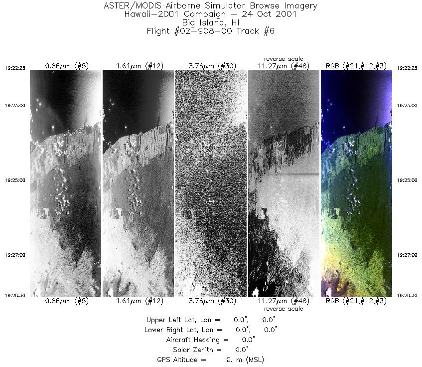
| 6 |
19:22 - 19:28 |
0.0 |
0.000 - 0.000 |
0.000 - 0.000 |
2284 |
0 |
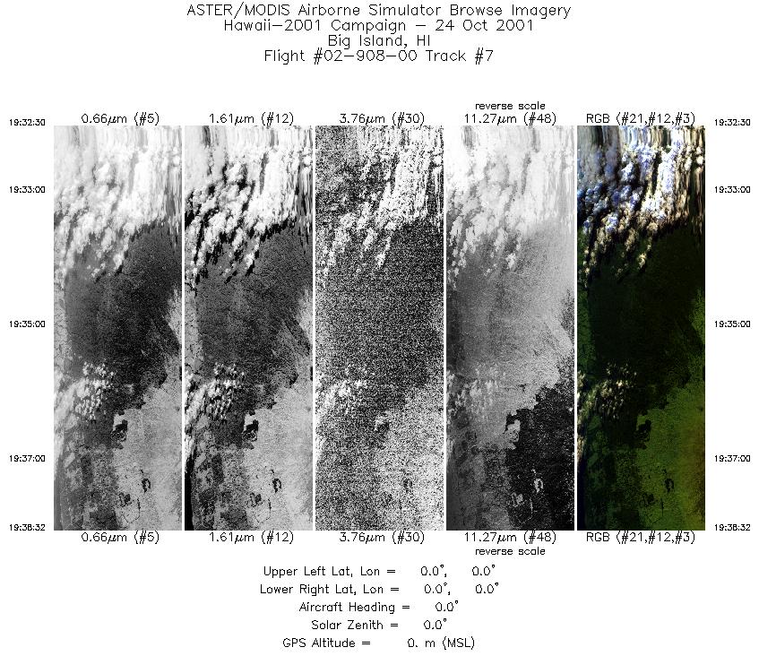
| 7 |
19:32 - 19:38 |
0.0 |
0.000 - 0.000 |
0.000 - 0.000 |
2262 |
0 |
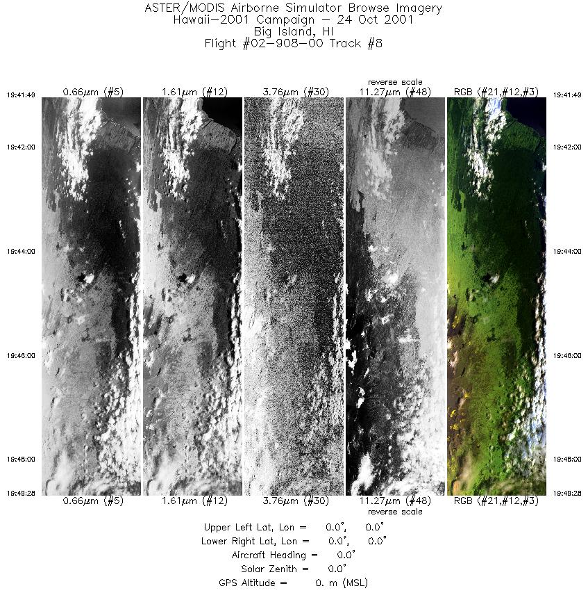
| 8 |
19:41 - 19:49 |
0.0 |
0.000 - 0.000 |
0.000 - 0.000 |
2867 |
0 |
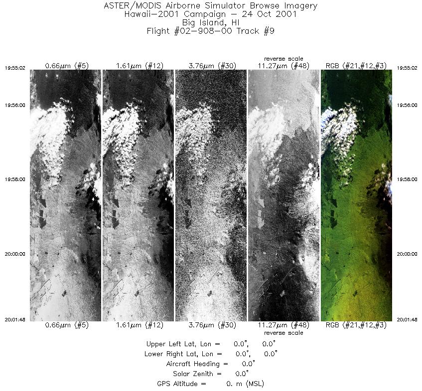
| 9 |
19:55 - 20:01 |
0.0 |
0.000 - 0.000 |
0.000 - 0.000 |
2534 |
0 |
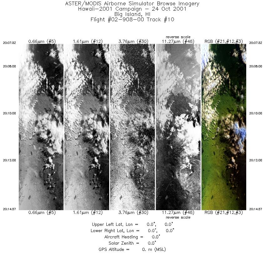
| 10 |
20:07 - 20:14 |
0.0 |
0.000 - 0.000 |
0.000 - 0.000 |
2658 |
0 |
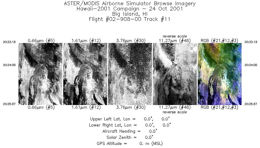
| 11 |
20:23 - 20:25 |
0.0 |
0.000 - 0.000 |
0.000 - 0.000 |
1010 |
0 |
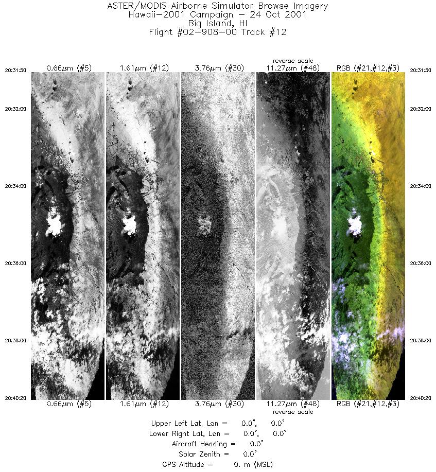
| 12 |
20:31 - 20:40 |
0.0 |
0.000 - 0.000 |
0.000 - 0.000 |
3189 |
0 |
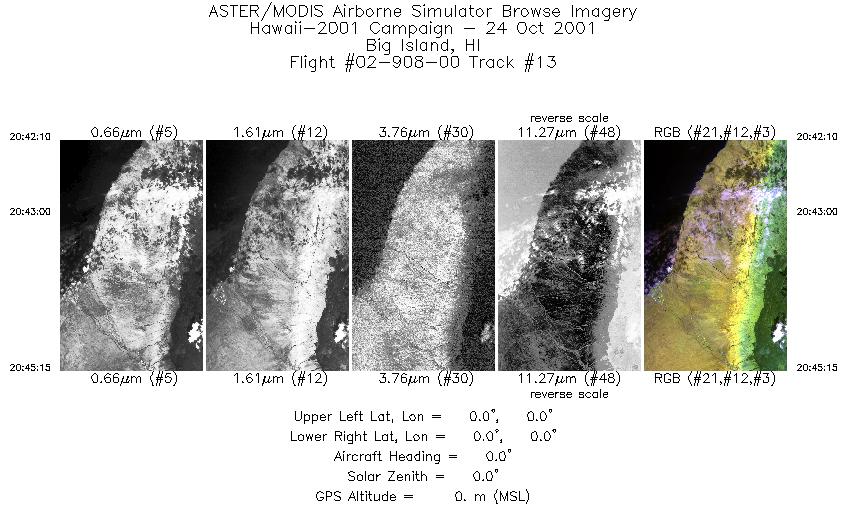
| 13 |
20:42 - 20:45 |
0.0 |
0.000 - 0.000 |
0.000 - 0.000 |
1158 |
0 |
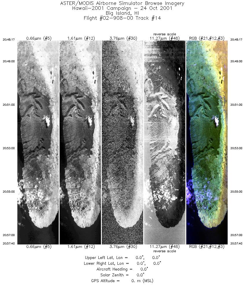
| 14 |
20:48 - 20:57 |
0.0 |
0.000 - 0.000 |
0.000 - 0.000 |
3521 |
0 |
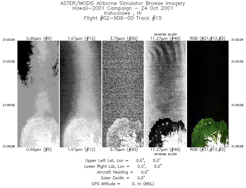
| 15 |
21:02 - 21:06 |
0.0 |
0.000 - 0.000 |
0.000 - 0.000 |
1838 |
0 |
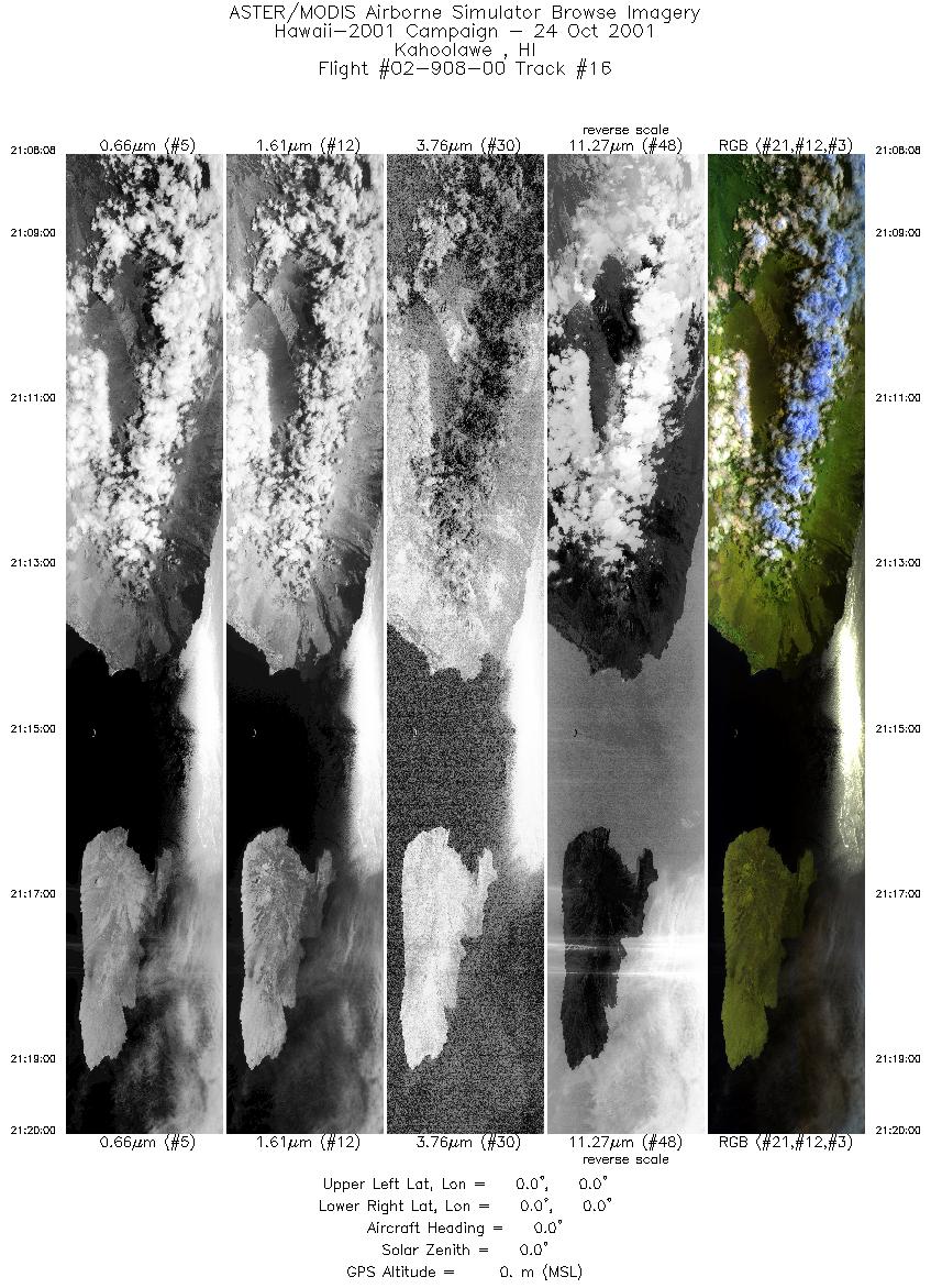
| 16 |
21:08 - 21:20 |
0.0 |
0.000 - 0.000 |
0.000 - 0.000 |
4455 |
0 |
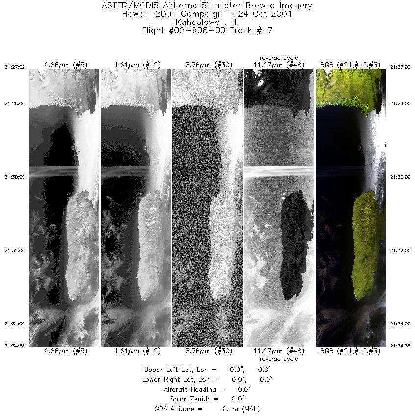
| 17 |
21:27 - 21:34 |
0.0 |
0.000 - 0.000 |
0.000 - 0.000 |
2853 |
0 |
|


