Flight: 02-905-00
Date: October 19, 2001
Aircraft: NASA ER-2, #809
Deployment: Hawaii 2002
Flight Location: Hawaii, Maui, Molokai; HI
Principal Investigator: Asner (UCO), Realmuto (JPL), Porter (UHI)
Additional Sensors: AVIRIS, RC-30
|
Data Evaluation
Flight lines are generally clear with slight haze and some cloud shadows.
|
Processing Information
Level-1B Data in HDF format is available
Flight Line Summary
Spectral Band Configuration
Spectral Response Function Table
Spectral Response Function (text)
|
Browse Imagery
Flight Tracks: 18
Scanlines: 48248
|
Browse Imagery Table
|
Click a Flight Track number to view a quicklook image
Lat/Lon ranges are for the BEG-END scanline nadir pixels
|
Flight
Track |
Time Span
(UTC) |
Heading
(Deg) |
Lat Range
(Deg N) |
Lon Range
(Deg W) |
Length
(Scanlines) |
Altitude
(Meters) |
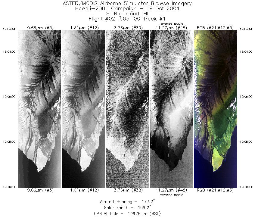
| 1 |
19:03 - 19:10 |
174.3 |
19.620 - 19.606 |
155.677 - 155.675 |
2623 |
19772 |
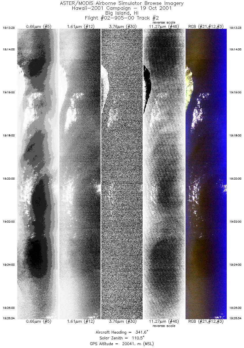
| 2 |
19:13 - 19:26 |
341.7 |
18.787 - 18.801 |
155.899 - 155.905 |
5046 |
20047 |
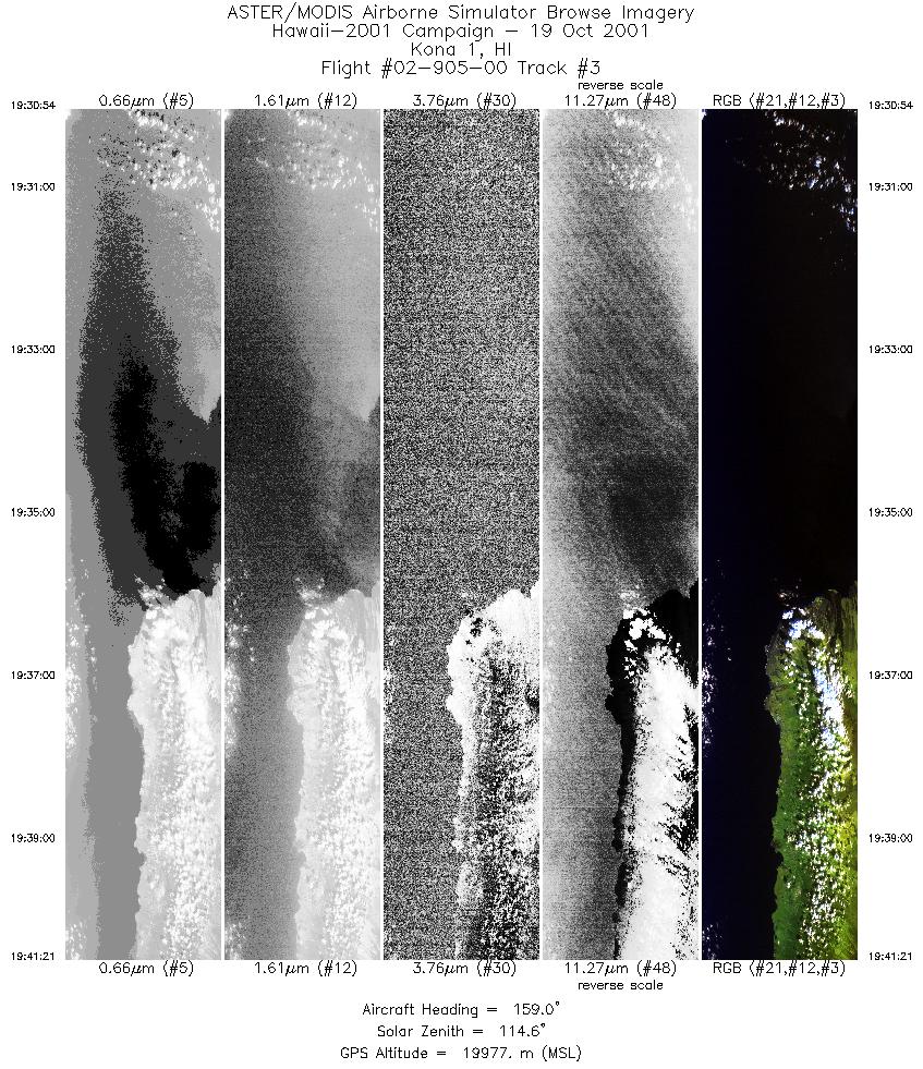
| 3 |
19:30 - 19:41 |
158.9 |
20.422 - 20.409 |
156.324 - 156.318 |
3909 |
19913 |
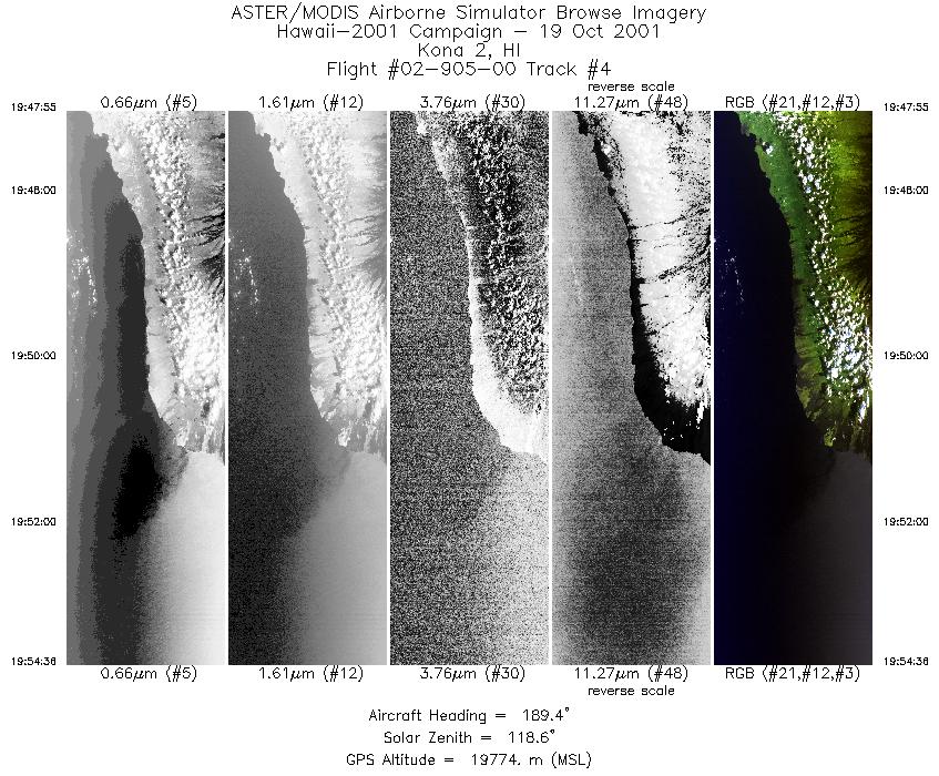
| 4 |
19:47 - 19:54 |
189.4 |
19.498 - 19.484 |
155.847 - 155.850 |
2502 |
19797 |
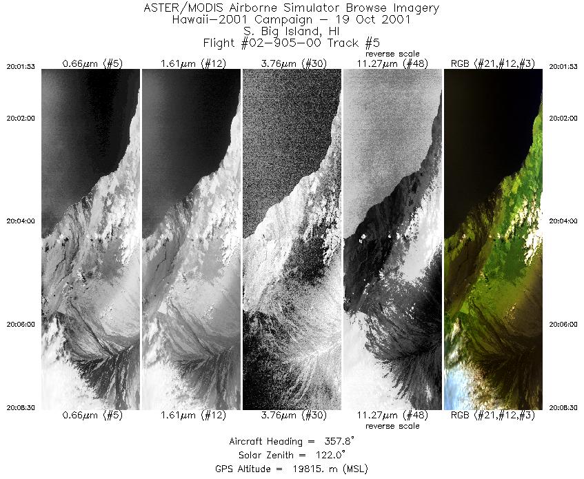
| 5 |
20:01 - 20:08 |
359.9 |
18.916 - 18.930 |
155.421 - 155.421 |
2478 |
19768 |
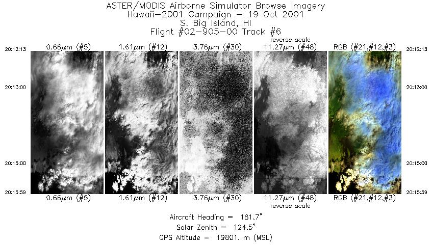
| 6 |
20:12 - 20:15 |
182.0 |
19.632 - 19.618 |
155.118 - 155.118 |
1409 |
19793 |
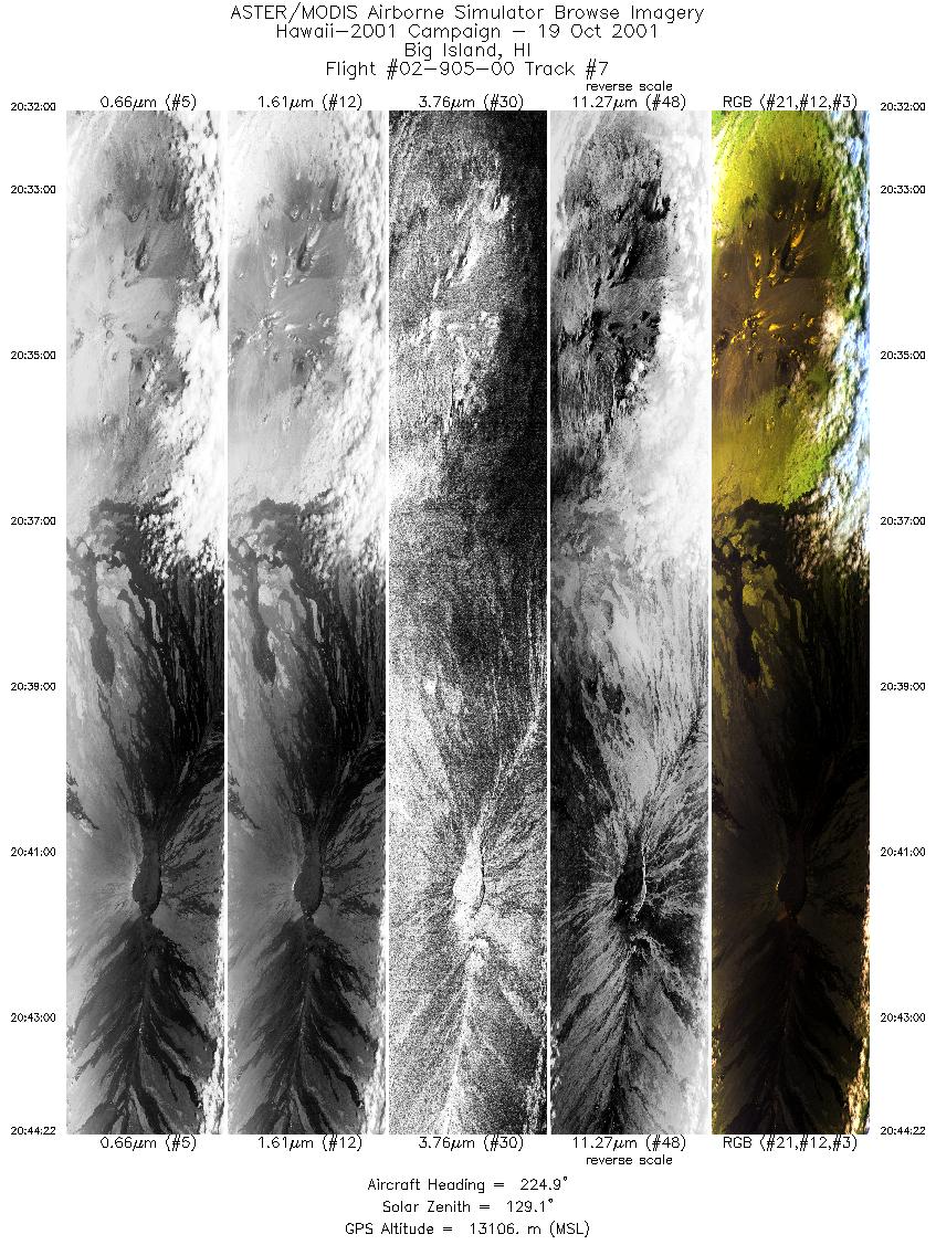
| 7 |
20:32 - 20:44 |
224.1 |
19.930 - 19.924 |
155.381 - 155.385 |
4638 |
13090 |
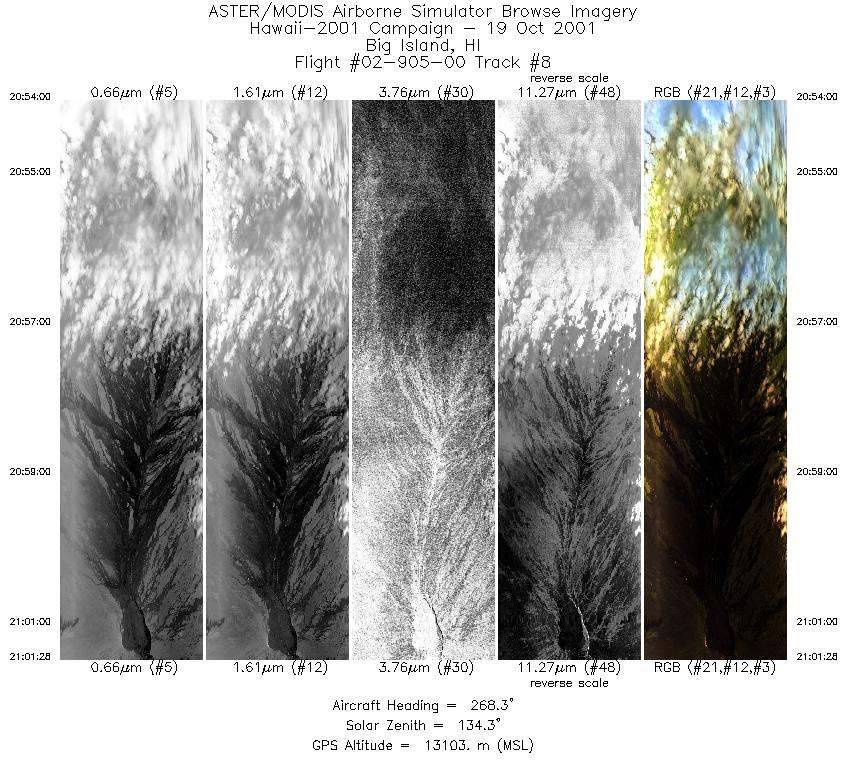
| 8 |
20:54 - 21:01 |
267.1 |
19.659 - 19.658 |
155.279 - 155.285 |
2800 |
13101 |
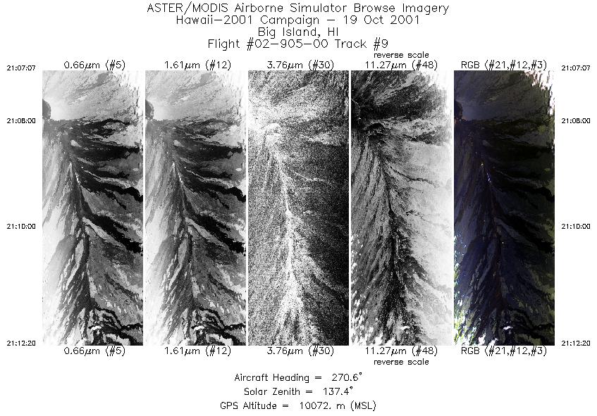
| 9 |
21:07 - 21:12 |
268.4 |
19.426 - 19.425 |
155.538 - 155.545 |
1956 |
10134 |
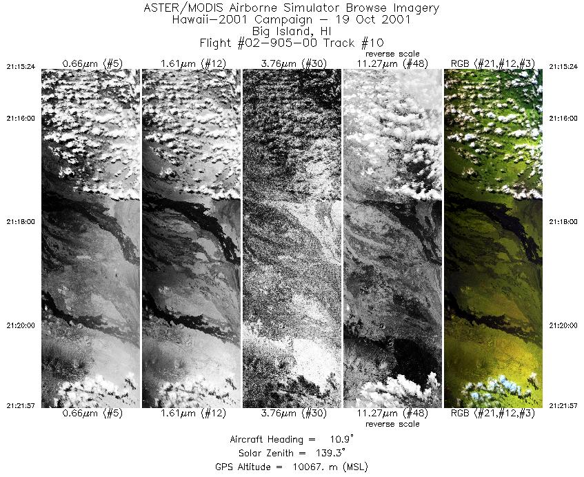
| 10 |
21:15 - 21:21 |
9.2 |
19.421 - 19.432 |
155.799 - 155.795 |
2463 |
10064 |
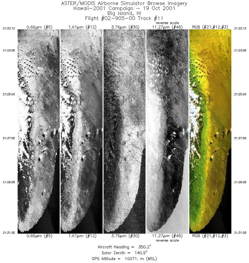
| 11 |
21:22 - 21:31 |
349.0 |
19.878 - 19.886 |
155.599 - 155.599 |
3483 |
10072 |
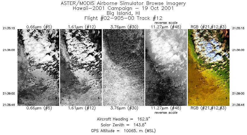
| 12 |
21:35 - 21:38 |
163.8 |
20.158 - 20.148 |
155.715 - 155.709 |
1316 |
10054 |
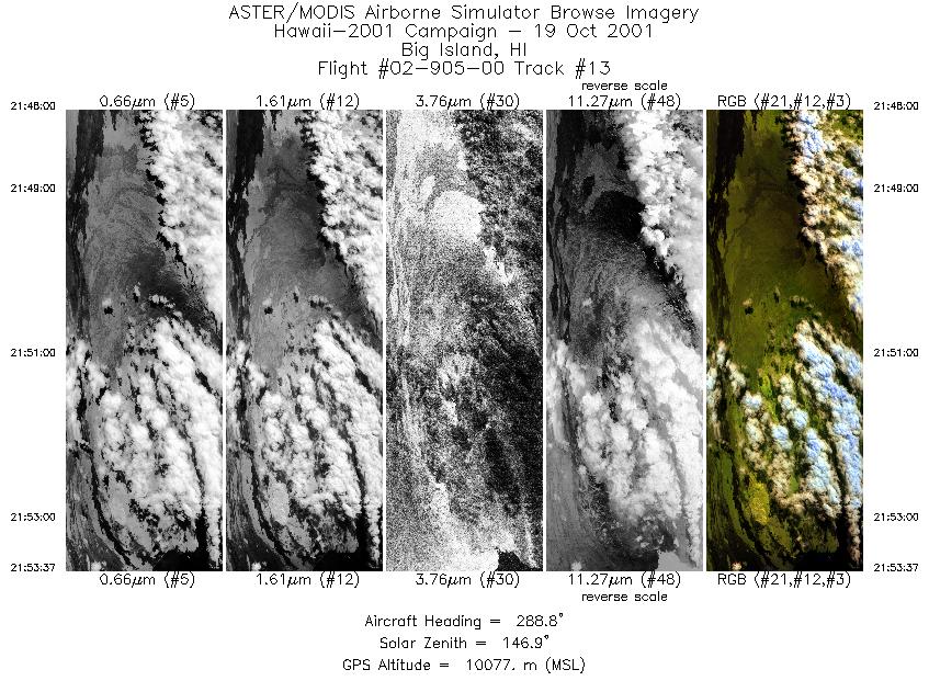
| 13 |
21:48 - 21:53 |
291.5 |
19.624 - 19.626 |
155.749 - 155.755 |
2107 |
10069 |
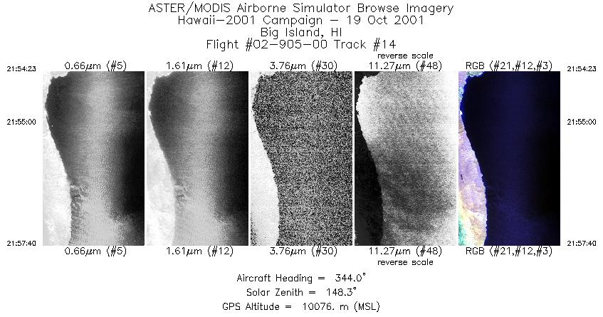
| 14 |
21:54 - 21:57 |
342.6 |
19.946 - 19.956 |
155.897 - 155.898 |
1229 |
10079 |
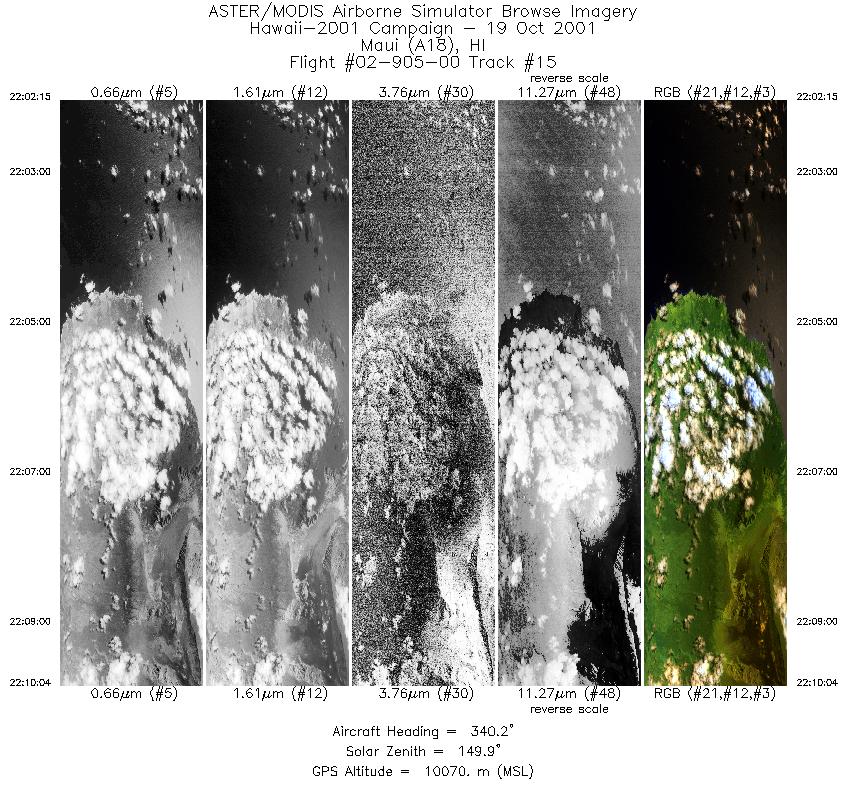
| 15 |
22:02 - 22:10 |
338.0 |
20.587 - 20.595 |
155.940 - 155.942 |
2931 |
10034 |
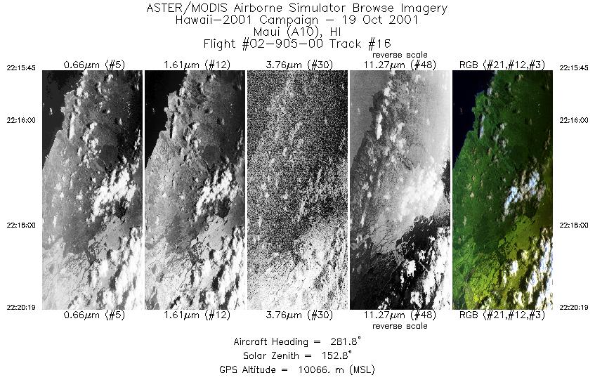
| 16 |
22:15 - 22:20 |
281.0 |
20.813 - 20.815 |
156.111 - 156.117 |
1709 |
10056 |
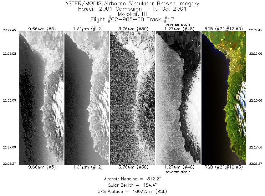
| 17 |
22:22 - 22:28 |
311.7 |
20.861 - 20.866 |
156.422 - 156.426 |
2136 |
10074 |
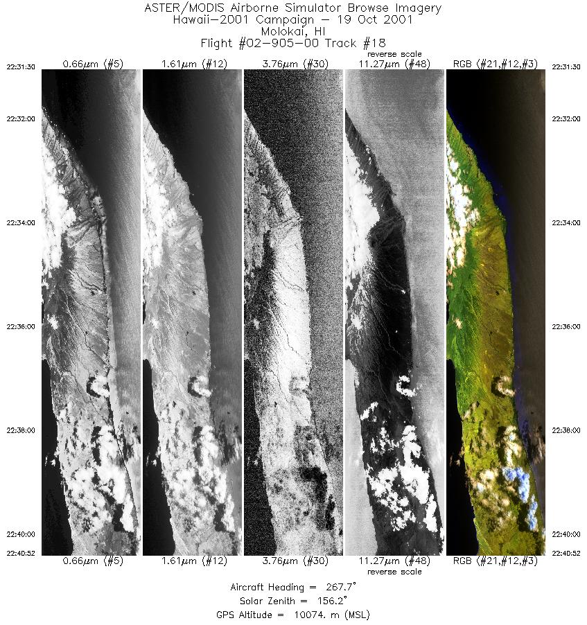
| 18 |
22:31 - 22:40 |
270.3 |
21.018 - 21.018 |
156.729 - 156.736 |
3513 |
10082 |
|


