Flight: 02-001-07
Date: April 7, 2002
Aircraft: DOE B200, #798
Deployment: RSL March 2002
Flight Location: Topock, Pisgay-Amboy; CA
Principal Investigator: Pickles (LLNL)
Additional Sensors:
|
Data Evaluation
Flight lines are generally clear with light to medium haze.
|
Processing Information
Level-1B Data in HDF format is available
Flight Line Summary
Spectral Band Configuration
Spectral Response Function Table
Spectral Response Function (text)
|
Browse Imagery
Flight Tracks: 12
Scanlines: 64825
|
Browse Imagery Table
|
Click a Flight Track number to view a quicklook image
Lat/Lon ranges are for the BEG-END scanline nadir pixels
|
Flight
Track |
Time Span
(UTC) |
Heading
(Deg) |
Lat Range
(Deg N) |
Lon Range
(Deg W) |
Length
(Scanlines) |
Altitude
(Meters) |
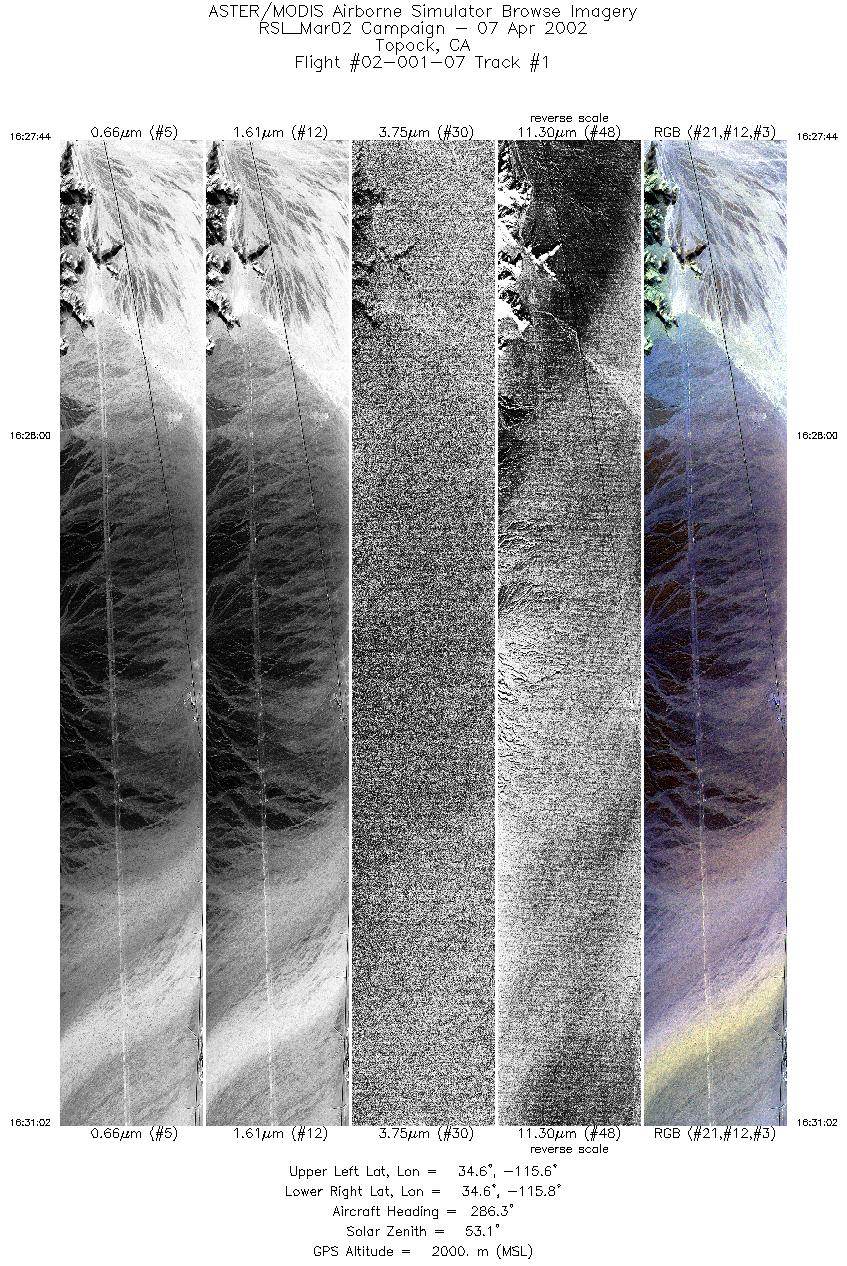
| 1 |
16:27 - 16:31 |
288.3 |
34.555 - 34.581 |
115.652 - 115.801 |
4930 |
2000 |
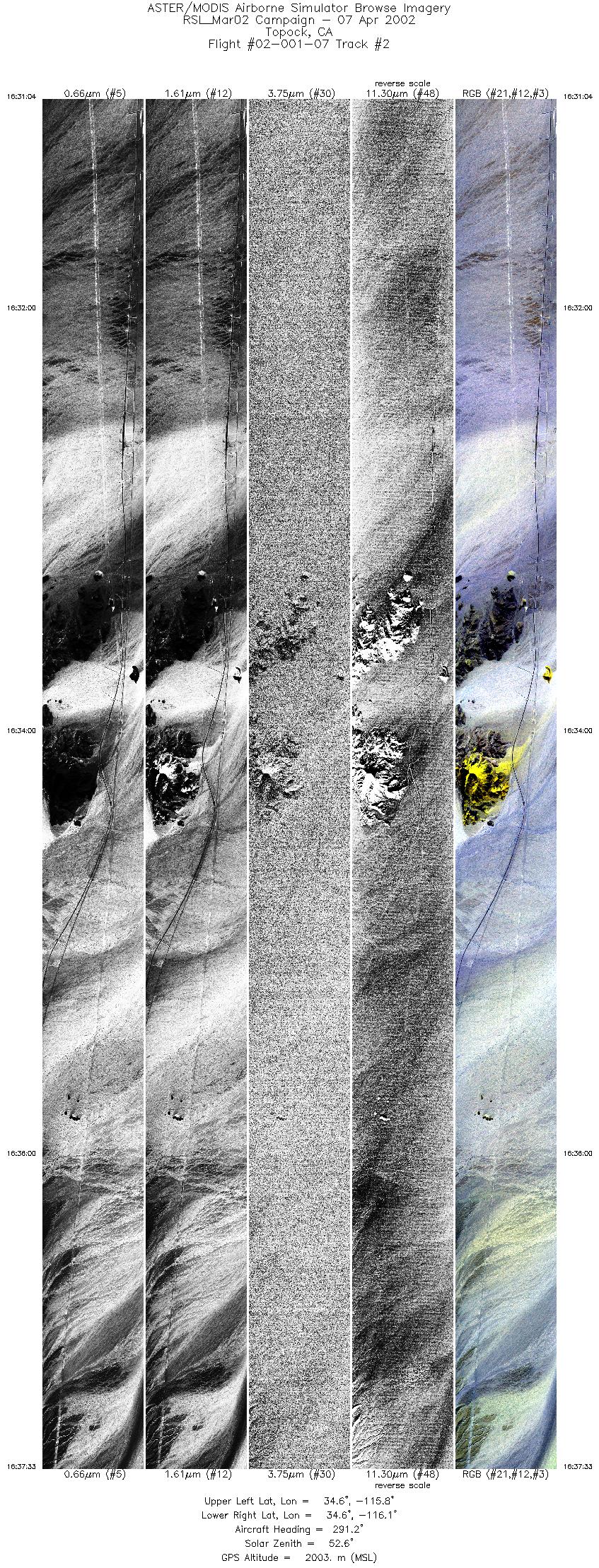
| 2 |
16:31 - 16:37 |
290.2 |
34.581 - 34.631 |
115.802 - 116.092 |
9690 |
2003 |
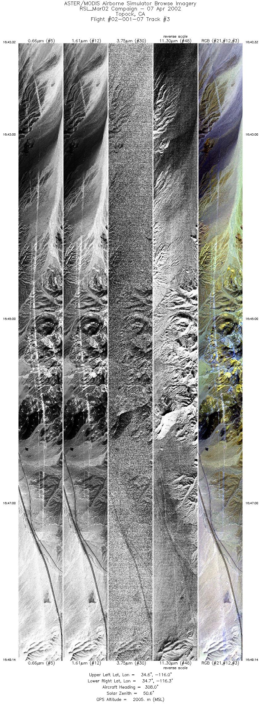
| 3 |
16:42 - 16:49 |
306.6 |
34.626 - 34.754 |
116.063 - 116.317 |
10000 |
2005 |
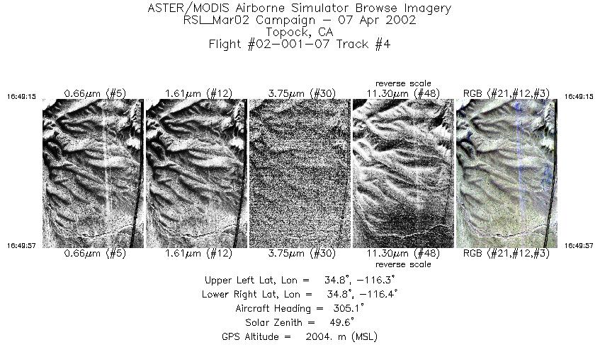
| 4 |
16:49 - 16:49 |
305.4 |
34.754 - 34.767 |
116.318 - 116.345 |
1056 |
2005 |
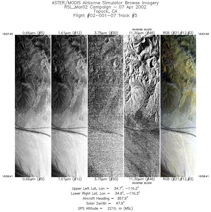
| 5 |
16:57 - 16:59 |
357.7 |
34.681 - 34.753 |
116.265 - 116.265 |
2861 |
2211 |
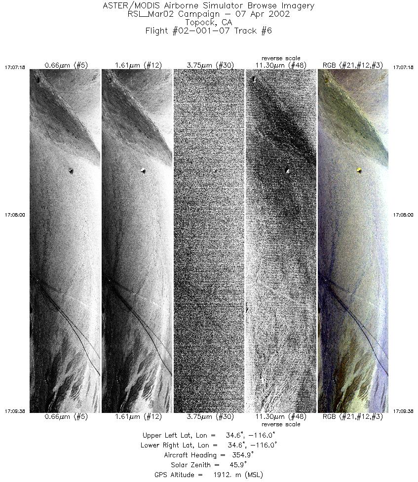
| 6 |
17:07 - 17:09 |
356.4 |
34.550 - 34.637 |
115.971 - 115.971 |
3486 |
1911 |
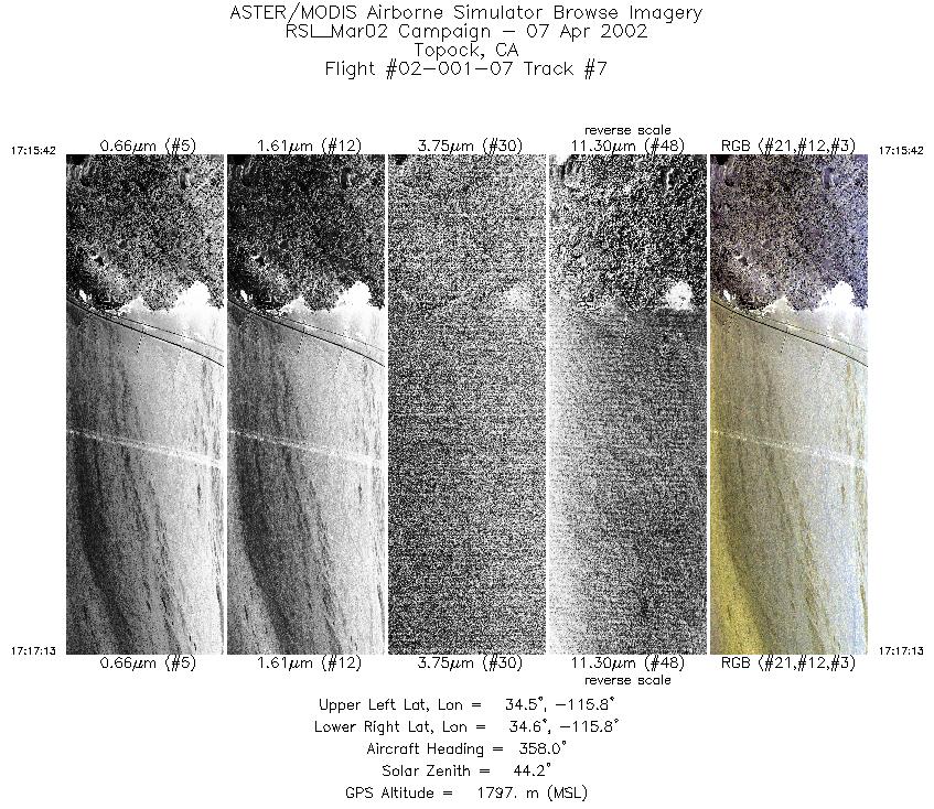
| 7 |
17:15 - 17:17 |
357.0 |
34.547 - 34.609 |
115.804 - 115.804 |
2272 |
1798 |
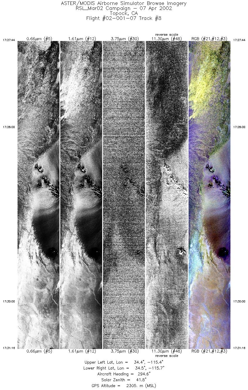
| 8 |
17:27 - 17:31 |
295.4 |
34.400 - 34.473 |
115.454 - 115.657 |
5256 |
2307 |
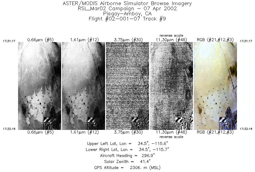
| 9 |
17:31 - 17:32 |
295.9 |
34.473 - 34.493 |
115.658 - 115.715 |
1463 |
2304 |
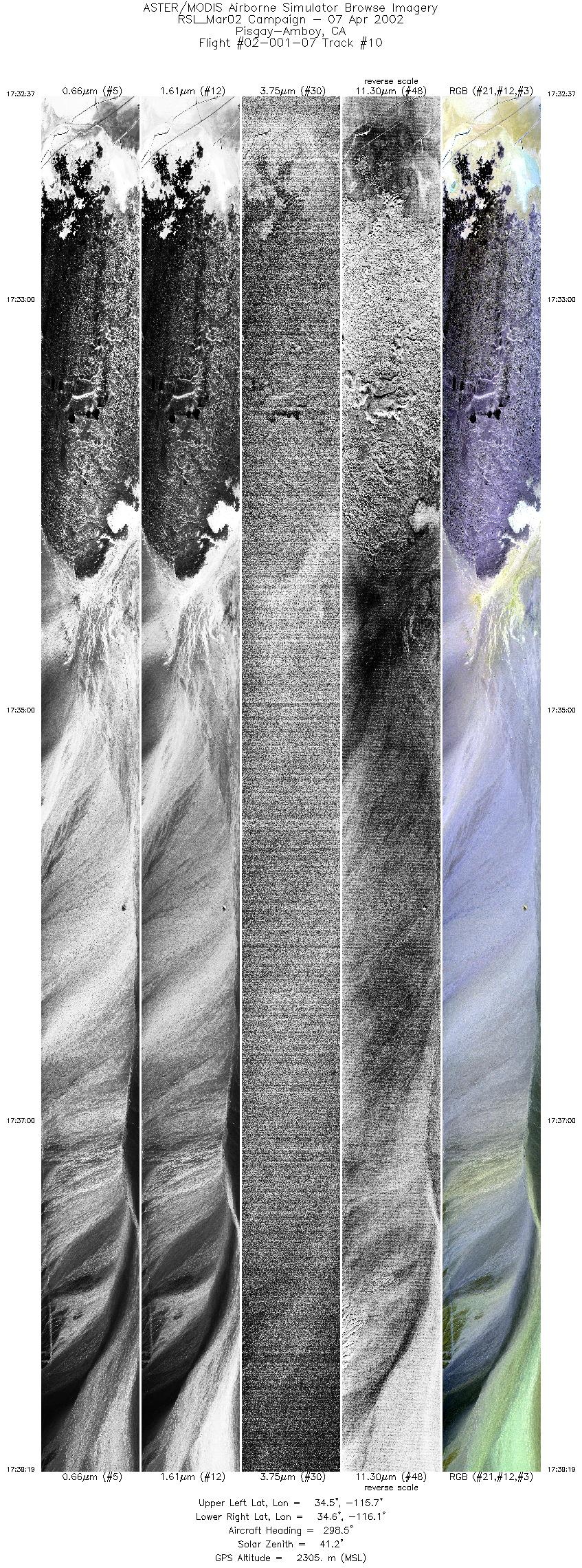
| 10 |
17:32 - 17:39 |
297.8 |
34.501 - 34.642 |
115.736 - 116.130 |
10000 |
2303 |
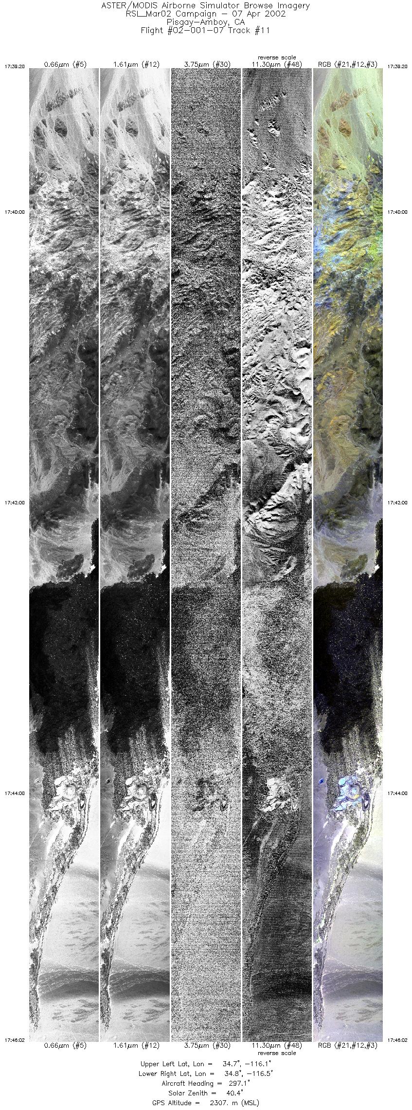
| 11 |
17:39 - 17:46 |
297.2 |
34.642 - 34.784 |
116.131 - 116.529 |
10000 |
2307 |
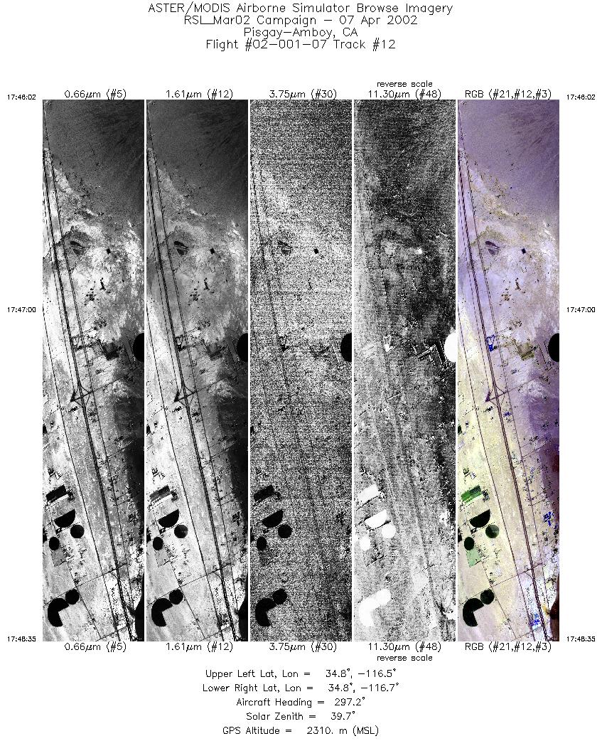
| 12 |
17:46 - 17:48 |
296.8 |
34.784 - 34.838 |
116.529 - 116.681 |
3811 |
2310 |
|


